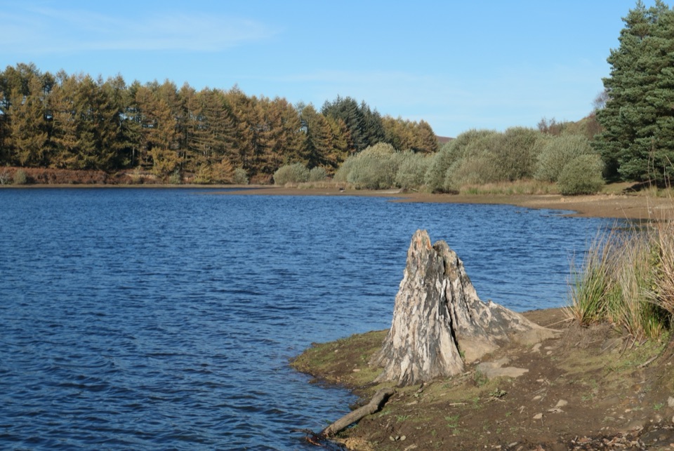
Lord Stones Country Park in North York Moors National Park

Sight · North York Moors National Park

Lord Stones Country Park

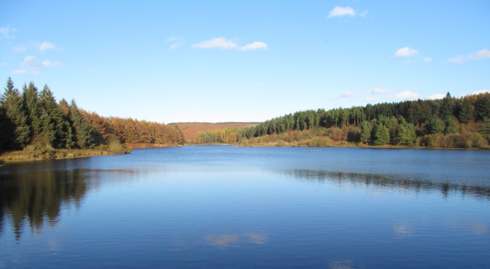
Moorland trailhead with cafe, camping and wide views across the plain

Photo: Wikimedia Commons
Type
Sight
Nearest trail
0.1 km
Audio stories
4 nearby
  • Trailhead
  • Pullout
  • Restrooms
  • Parking

Hear the audio tour

Lord Stones Country Park

Overview

About Lord Stones Country Park

Why stop

  • Wide moorland views and a rewarding walking base
  • Cafe and shop make an easy trail stop

Heads up

  • Exposed, steep section on the circular walk
  • Busy at peak walking times

Map

Where it is

Loading the North York Moors map
Full map
SightLord Stones Country Park54.42055, -1.19382
Keep this map with you offline in the Parkwolf app

Plan your stop

Before you go

Best time to go

  • There are severe drops beside the stepped path and along the moorland edge.
  • Take care when paths are wet or icy.
  • Dogs should be kept on a short fixed lead.
  • The site is busy at peak times and the car park can fill.
  • Feedback on campsite facilities is mixed; the cafe toilet is practical while the cafe is open.

8 active North York Moors alerts

  • ClosureHawnby Bridleway 110 closurePublic Bridleway 25.122/110/1 in Hawnby is closed to pedestrians, cyclists and equestrians because its bridge is unsafe. - The closure is between grid references SE 5309 9073 and SE 5335 9097.Official details
  • ClosureWest Ayton Footpath 1 closurePublic Footpath 1 in West Ayton (Forge Valley) is temporarily closed because its boardwalk is unsafe. - The closure is between SE 9860 8494 and SE 9839 8712.Official details
See all 8 alerts
A park ranger sits on a dash-mounted phone, talking, as Parkwolf’s Tour Guide plays “Army Cutworm Moths: A Grizzly Bear Buffet” on Grand Loop Road below Dunraven Pass in Yellowstone
Parkwolf Tour GuideThe highest, rockiest slopes around here are a summer buffet for grizzly bears.

North York Moors Tour Guide

Your drive to Lord Stones Country Park, narrated.

Parkwolf is a GPS audio tour guide for North York Moors National Park. As you drive, it chimes in with what’s ahead: hidden gems, upcoming stops, history, geology, and wildlife, right through your car’s speakers.

Recorded for this place

Lord Stones Country Park
0:00 / 0:30
“Lord Stones Country Park is coming up on Carlton Bank, a good place to stop for a moorland view and a proper meal.”

Plays as you drive up to Lord Stones Country Park in the Parkwolf North York Moors Tour Guide.

More stories near here in the app

  • Two Lives of the Three Lords Stone
  • A Song About Bread and Cheese
  • The Jet Mines Beneath the Walk
  • The Lake That Escaped Scugdale
  • 298 audio storiesacross North York Moors’s roads, triggered by GPS as you drive
  • Wildlife heatmapsfor Eurasian Otter, Red Deer, Grey Seal, and 13 more
  • Works offlinemaps, 126 trails, 65 places, and audio download before you lose signal
  • CarPlay readysimple controls built for the drive
★★★★★
“Fantastic app with many points of information… It’s great to just turn on while you’re driving and it gives you an audio tour of the national Park. We love it!!!!”
JMJamesApp Store review
Download Parkwolf on the App StoreGet Parkwolf on Google Play

4.7 from 8,600+ ratings

Guide

More about Lord Stones Country Park

What you'll findA working stop on Carlton Bank in the North York Moors, used mainly as a base for walking.

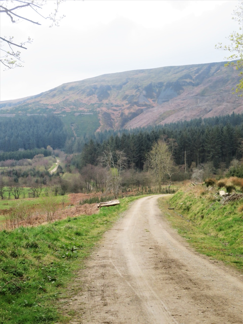
A working stop on Carlton Bank in the North York Moors, used mainly as a base for walking. There is parking, a cafe-restaurant, a shop selling local produce, outdoor picnic tables and a campsite. The site sits close to the Cleveland Way, and walkers on the Coast to Coast route also pass through.

The circular walkA signed circular walk of 2.75 miles (4.

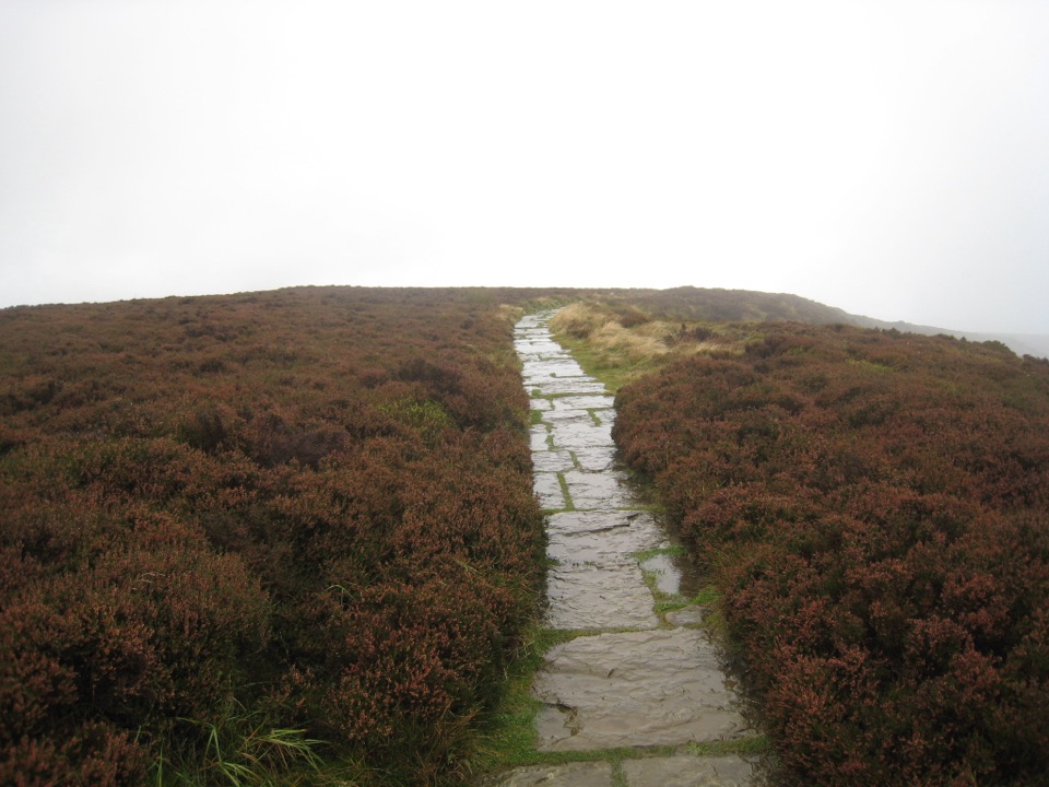
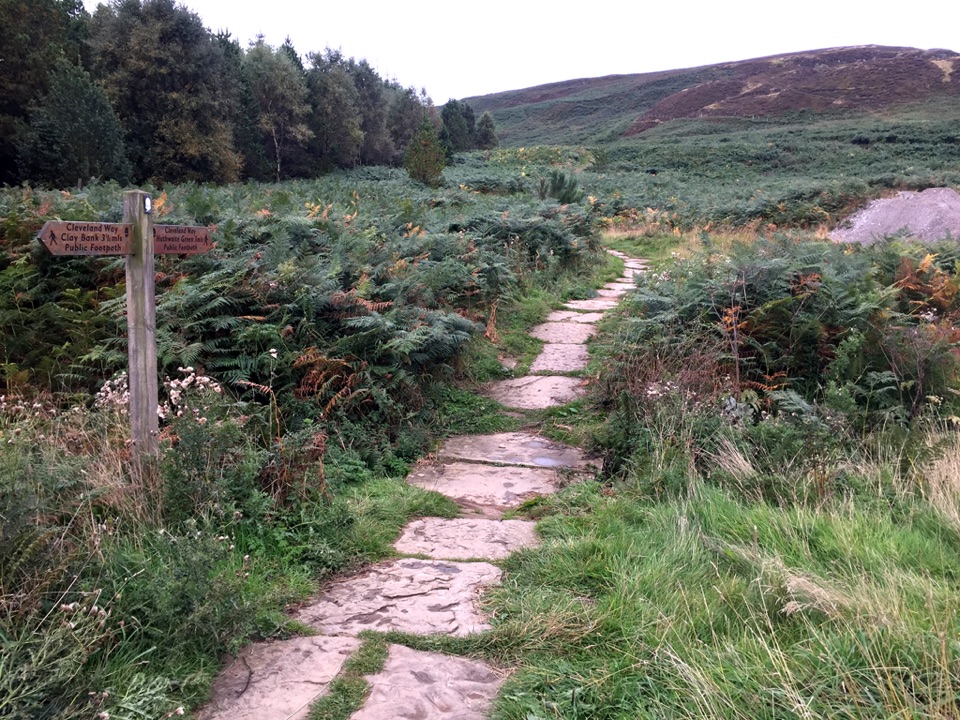
A signed circular walk of 2.75 miles (4.4km) starts and finishes at the site and takes around 2 hours. Paths are well maintained with no stiles or gates, but the route includes a steep stepped stone climb that is exposed to the weather.

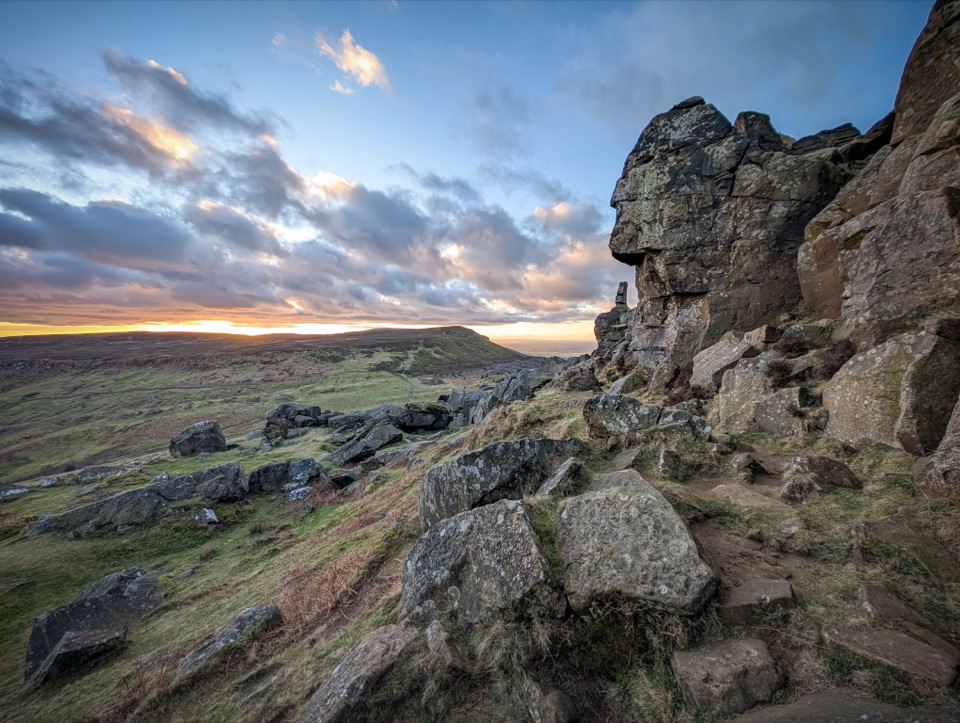
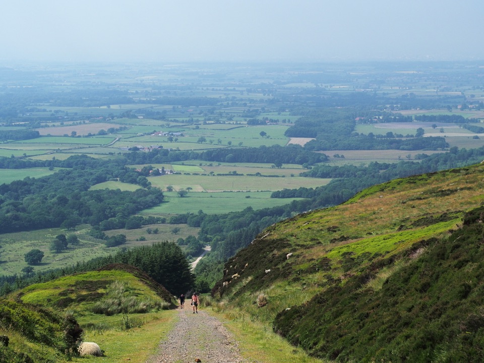
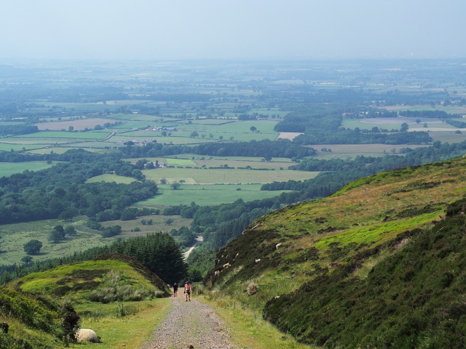
Views from the higher ground take in Middlesbrough, the Cleveland plain, Roseberry Topping and Cook's Monument.

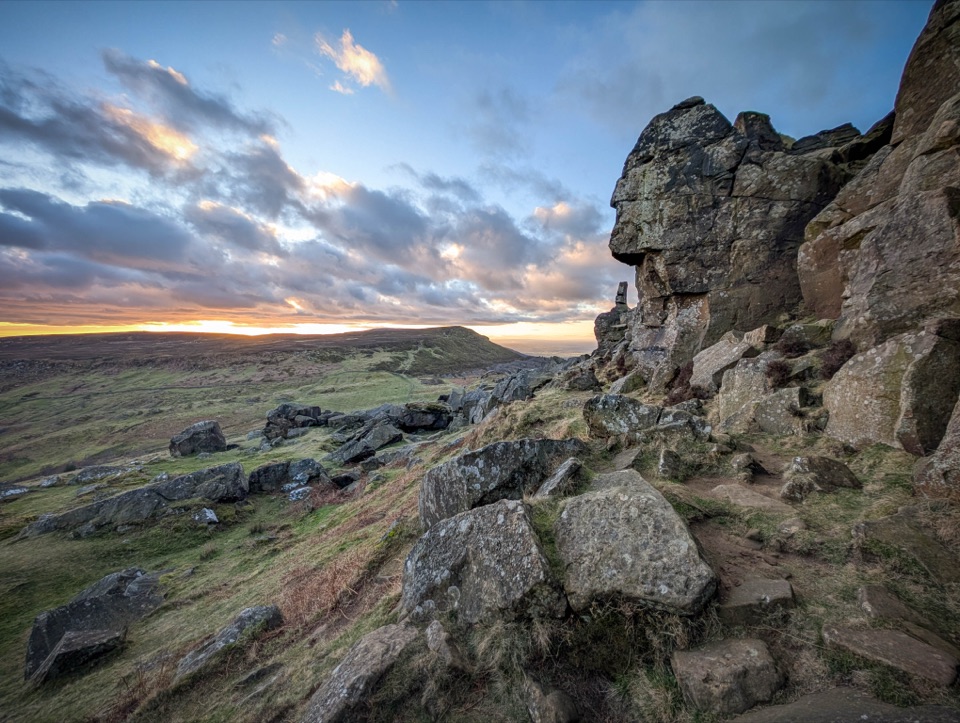
History on the groundThe Three Lords Stone carries prehistoric cupmarks, alongside kerbstones from a Bronze Age…
  • The Three Lords Stone carries prehistoric cupmarks, alongside kerbstones from a Bronze Age burial mound.
  • Ancient hollow-ways cross the moor near the route.
  • Evidence of jet mining survives as spoil heaps and collapsed entrances. Jet is fossilised Jurassic wood.
Cafe and shopThe cafe is a local landmark with indoor seating and a sun terrace, serving home-cooked food…

The cafe is a local landmark with indoor seating and a sun terrace, serving home-cooked food from local suppliers, cakes and an all-day menu. Dogs are not permitted in the main building for hygiene and allergy reasons; there is outdoor seating and picnic tables. A walking guide is available in the shop.

CampingPitches are set in mature woodland with views over the moors.

Pitches are set in mature woodland with views over the moors. There is a purpose-built toilet and shower building for camping guests, and access to these facilities may be restricted. Cars are not permitted on the camping field. The restaurant, cafe and shop are on site.

Wildlife

Wildlife in North York Moors

All North York Moors wildlife maps

Sighting maps show where each species has been reported across North York Moors. Wildlife moves, so no sighting is guaranteed.

Parkwolf’s North York Moors ranking

Top sights in North York Moors

All 65 places
  1. 1North Yorkshire Moors RailwaySight
  2. 2Roseberry ToppingSight
  3. 3Rievaulx AbbeySight
  4. 4Robin Hood's Bay and BeachSight
  5. 5Hole of HorcumSight
  6. 6Goathland StationSight

Take Parkwolf to North York Moors.

The audio tour guide for the drive, plus offline maps, trails, and wildlife heatmaps for when the signal drops.

4.7 from 8,600+ ratings

Download Parkwolf on the App StoreGet Parkwolf on Google Play