Parking
Chop Gate Village Hall car park in Chop Gate; start and finish from the village access.
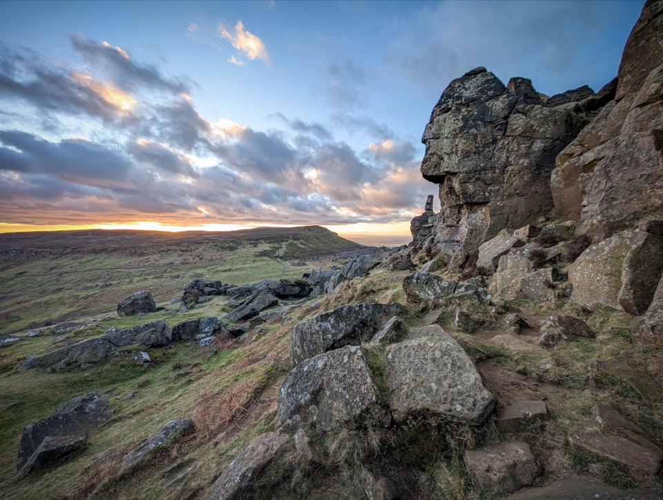
North York Moors National Park, EN
A 14.3 km moorland loop from Chop Gate over the Wainstones ridge
Overview
Map & elevation
Plan your hike

The highest, rockiest slopes around here are a summer buffet for grizzly bears.
North York Moors Tour Guide
Parkwolf is a GPS audio tour guide for North York Moors National Park. As you drive, it chimes in with what’s ahead: hidden gems, upcoming stops, history, geology, and wildlife, right through your car’s speakers.
Recorded for this trailhead
Chop Gate and the Wainstones Walk“You're approaching Chop Gate Village Hall, where the Wainstones Walk starts. This is an eight-mile, roughly five-hour loop, climbing Cold Moor to sandstone outcrops and broad views over Bilsdale and the Tees Valley.”
Plays as you drive up to this trailhead in the Parkwolf North York Moors Tour Guide.
More stories near here in the app
“Fantastic app with many points of information… It’s great to just turn on while you’re driving and it gives you an audio tour of the national Park. We love it!!!!”


Trail guide
This is a complete closed loop, 14.33 km / 8.9 miles, starting and finishing at Chop Gate Village Hall car park. Expect roughly 454 m of ascent and a realistic 5 to 5.5 hours at a steady pace with stops. It is graded moderate, and that feels about right: nothing technical, but plenty of sustained climbing and a lot of time on open, exposed ground.
You leave the village and climb onto the Cold Moor ridge, which is the first real effort of the day and sets you up high early. The ridge carries you north through heather to the Wainstones, the weathered sandstone outcrops that are the visual centrepiece of the walk. From there the route turns out across open moorland toward Urra Moor and its high, wide-open ground, then works back down through the William Beck area and returns to Chop Gate. Elevation runs from 162 m at the car park to about 394 m at the highest sampled point, and the low points at each end mean you finish with a descent rather than a sting in the tail.
The payoff is space. Broad heather moorland, ridge lines that keep giving you something to look at, and long views over Bilsdale and the surrounding Cleveland Hills. The Wainstones themselves are rough, blocky sandstone standing clear of the heather, and they are worth slowing down for. Urra Moor is a different flavour: less drama, more sky, big rolling high ground.
Surfaces are rough grassy and heather paths, uneven rocky ground around the Wainstones, and peat that turns genuinely boggy after wet spells. There are steep ascents and descents. Wear proper boots. Between the steep grades, rough ground, boggy sections and rocky footing, this is a demanding walk for anyone who needs smooth or level surfaces.
Long sections are fully exposed with no shelter from wind or sun, and the open tops can lose visibility quickly. Carry a map and compass as a backup rather than relying on a phone alone, and be honest with yourself about turning back if the cloud comes down on the high ground. Clear weather is what makes this route worth the effort, because the views are most of the reward.
Ground-nesting birds are the thing to be aware of, particularly in spring and early summer. Dogs are welcome on the route under control, but use a short lead around livestock and from 1 March to 31 July for nesting birds. Start and finish parking is at Chop Gate Village Hall car park.
The drawbacks are real: it is a long day with two significant climbs, the ground can be wet and tiring, and in poor visibility you lose the views that justify the distance. If you want something gentler in the same broader area, the Lord Stones Walk is a shorter and easier moorland circuit.
Wildlife
 15 sightingsEurasian OtterMost seen around 7 PMSighting map
 10 sightingsRed DeerMost seen around 7 AMSighting map
 79 sightingsGrey SealMost seen around noonSighting map
 26 sightingsWestern Barn OwlMost seen around 7 PMSighting map
 33 sightingsEuropean BadgerMost seen around 7 PMSighting map
 10 sightingsMute SwanMost seen around noonSighting map
Sighting maps show where each species has been reported across North York Moors. Wildlife moves, so no sighting is guaranteed.
Keep exploring
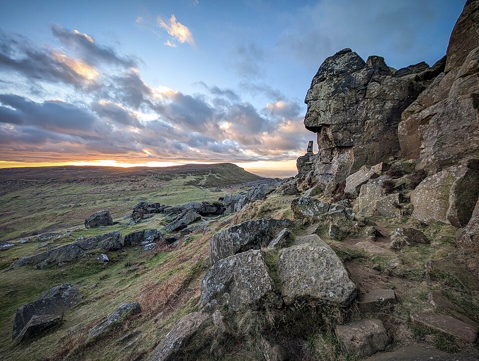 ChallengingWainstones Walk13.2 km · 5 hr · At the trailheadClimb Cold Moor to the Wainstones on a demanding ridge-and-moor loop
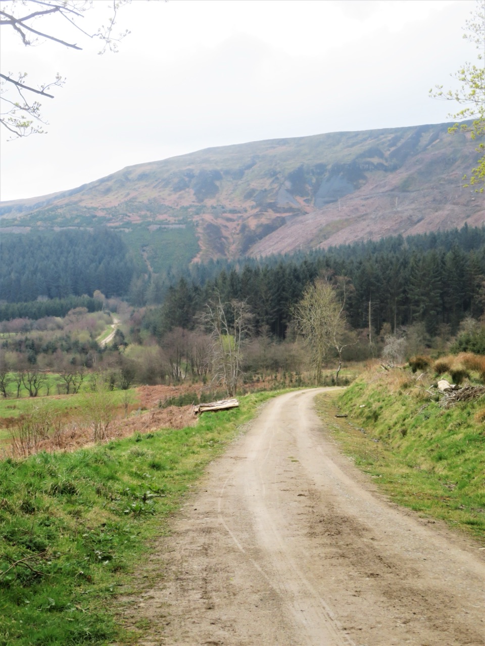 ModerateMiles without Stiles (For some) - Clay Bank and Greenhow Plantation4.8 km · 1.5 hr · 4.4 km awaySteep forestry tracks, shady plantation and big views to Roseberry Topping
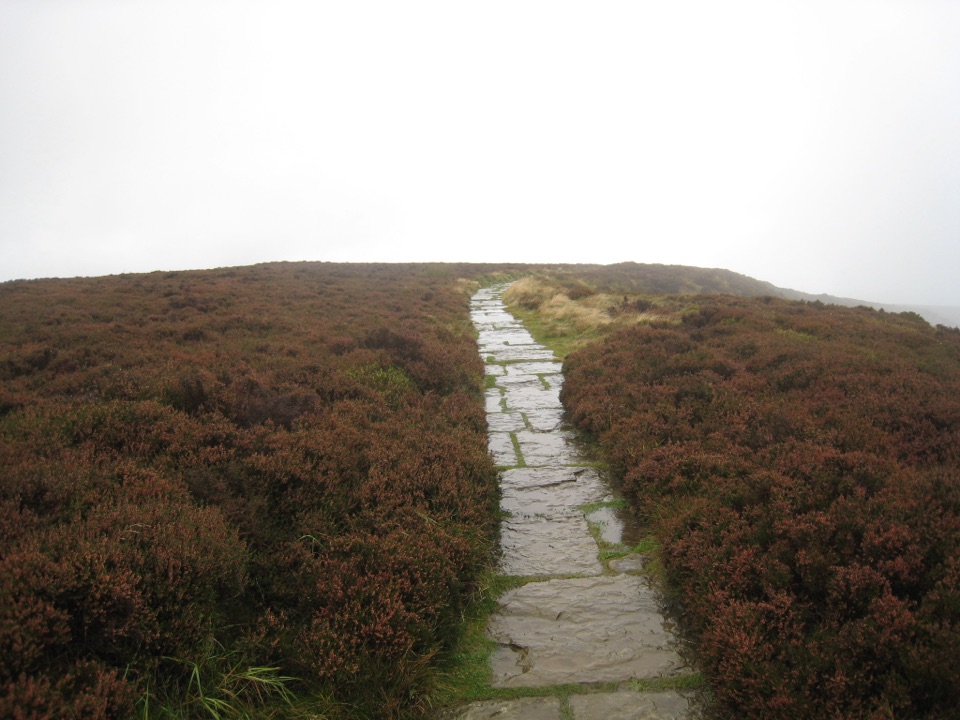 EasyLord Stones Walk4.4 km · 1.4 hr · 5 km awaySteep pitched climb to a stone seat above the wide Cleveland plain
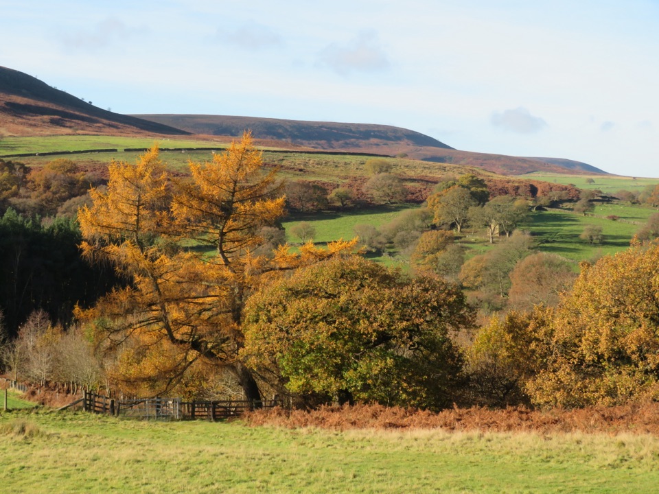 EasyHawnby Circular4.3 km · 1 hr · 7.2 km awayA hilly mix of woodland, river crossings and open moorland.
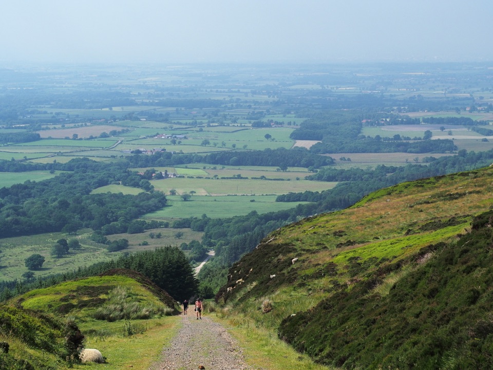 ModerateIngleby Incline Walk15 km · 4 hr · 8.3 km awayClimb a 1-in-5 ironstone incline to wide Cleveland plain views
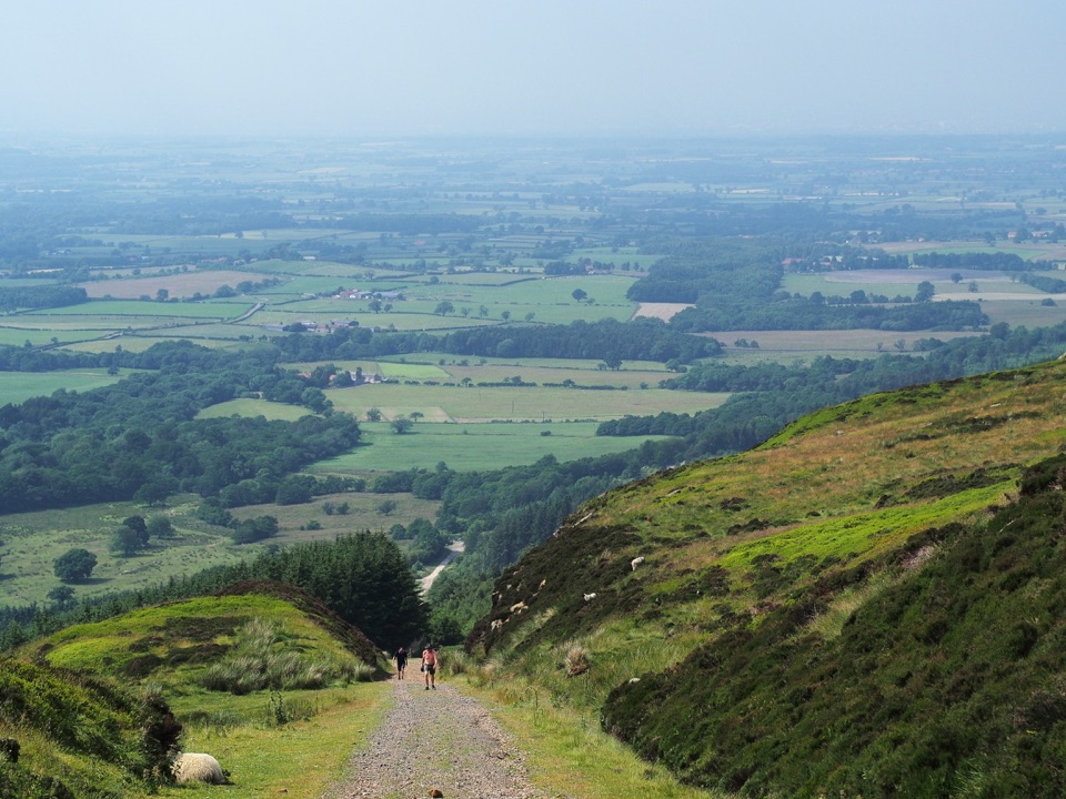 ChallengingMiles without Stiles (For some) - Ingleby Incline11.4 km · 3.8 hr · 8.3 km awayA mile of 1:5 Victorian railway incline, climbed on foot from Battersby
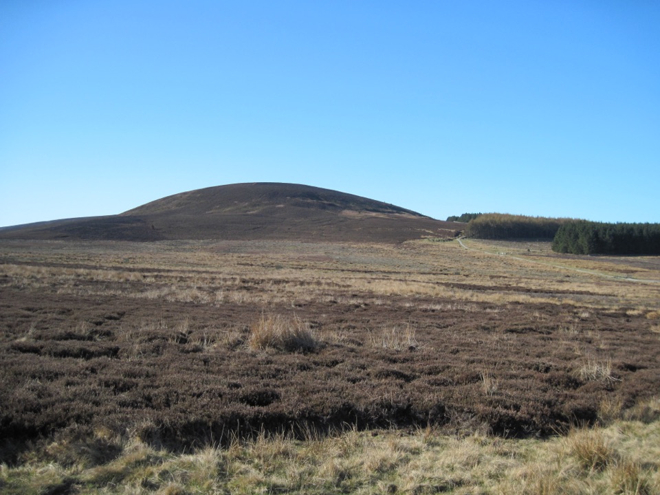 ModerateBlack Hambleton Walk12.9 km · 3.8 hr · 8.7 km awayQuiet moorland loop to the Hambleton Hills' highest point, wide vale views
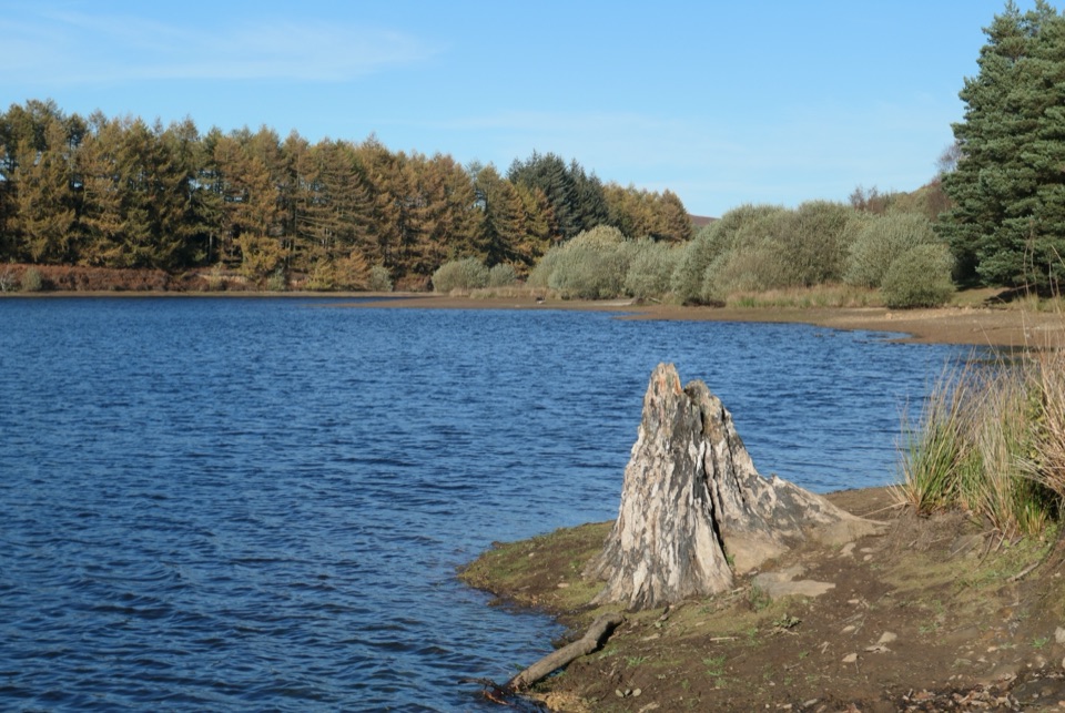 EasyCod Beck Reservoir Circular2.4 km · 1 hr · 9.1 km awayWide, level shoreline loop with an embankment crossing and woodland bridge
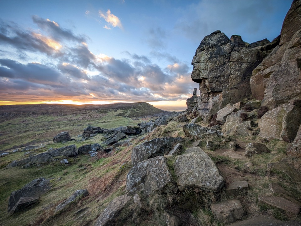 Sight · 4.2 km awayThe WainstonesSandstone pillars up a sharp climb from Clay Bank car park
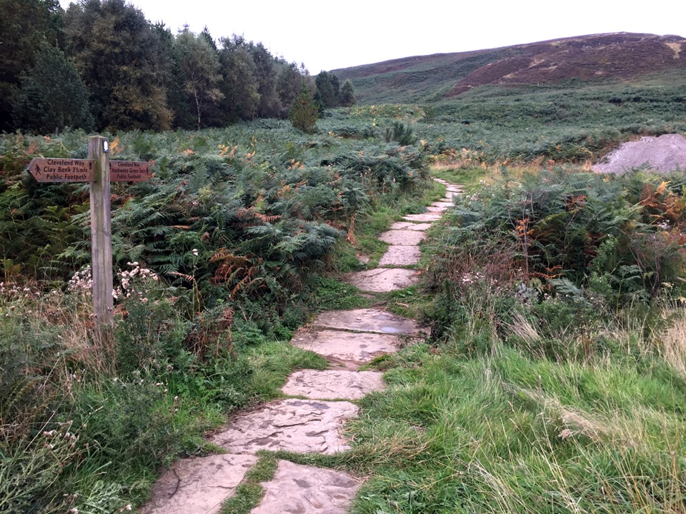 Sight · 5.1 km awayLord Stones Country ParkMoorland trailhead with cafe, camping and wide views across the plain
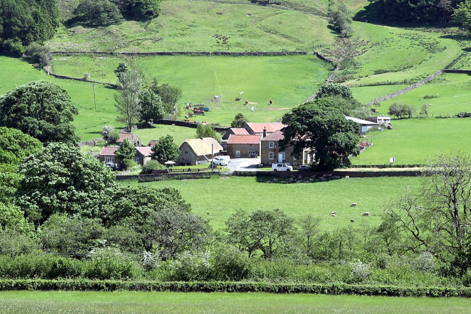 Sight · 6 km awaySpout House, BilsdaleThatched cruck-framed longhouse that served ale for two centuries
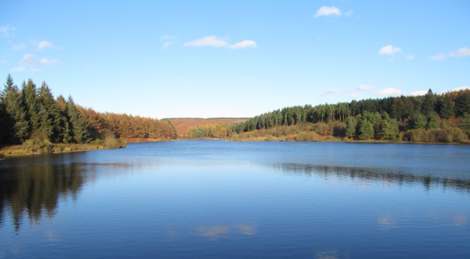 Sight · 9.4 km awayCod Beck ReservoirQuiet moor-edge reservoir with an easy, mostly flat 1.5-mile loop
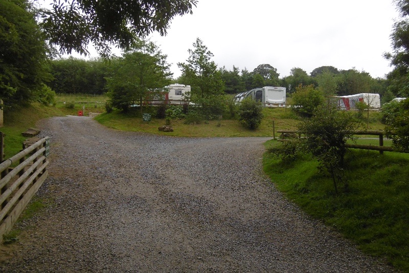 Campground · 10 km awayCote Ghyll Caravan Park and CampsiteTerraced pitches in a wooded stream valley, minutes from Osmotherley
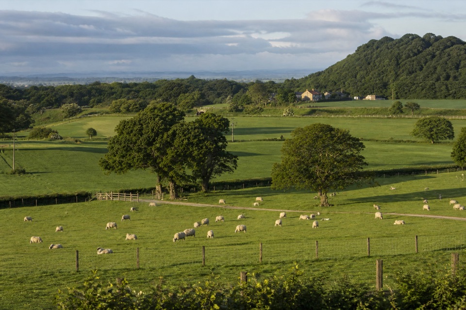 Campground · 10.1 km awayKildale Camping Barn and CampsiteQuiet working-farm pitches a field from the Cleveland Way
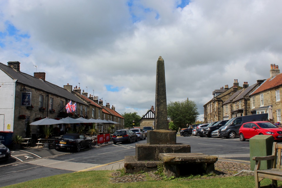 Sight · 10.5 km awayOsmotherleyStone-built walking village with a green, cross and drovers' history
 Sight · 11 km awayMount Grace Priory, House and GardensRebuilt monk's cell, ruined Carthusian cloister, 13 acres of gardens
Parkwolf’s North York Moors ranking

The audio tour guide for the drive, plus offline maps, trails, and wildlife heatmaps for when the signal drops.





