Parking
Forestry Commission car park and picnic area at Clay Bank on the B1257 Helmsley to Stokesley road, OS grid reference NZ 572 035. Chop Gate is about 2 3/4 miles south for refreshments; the nearest toilets are at Chop Gate Village Hall.
North York Moors National Park, EN
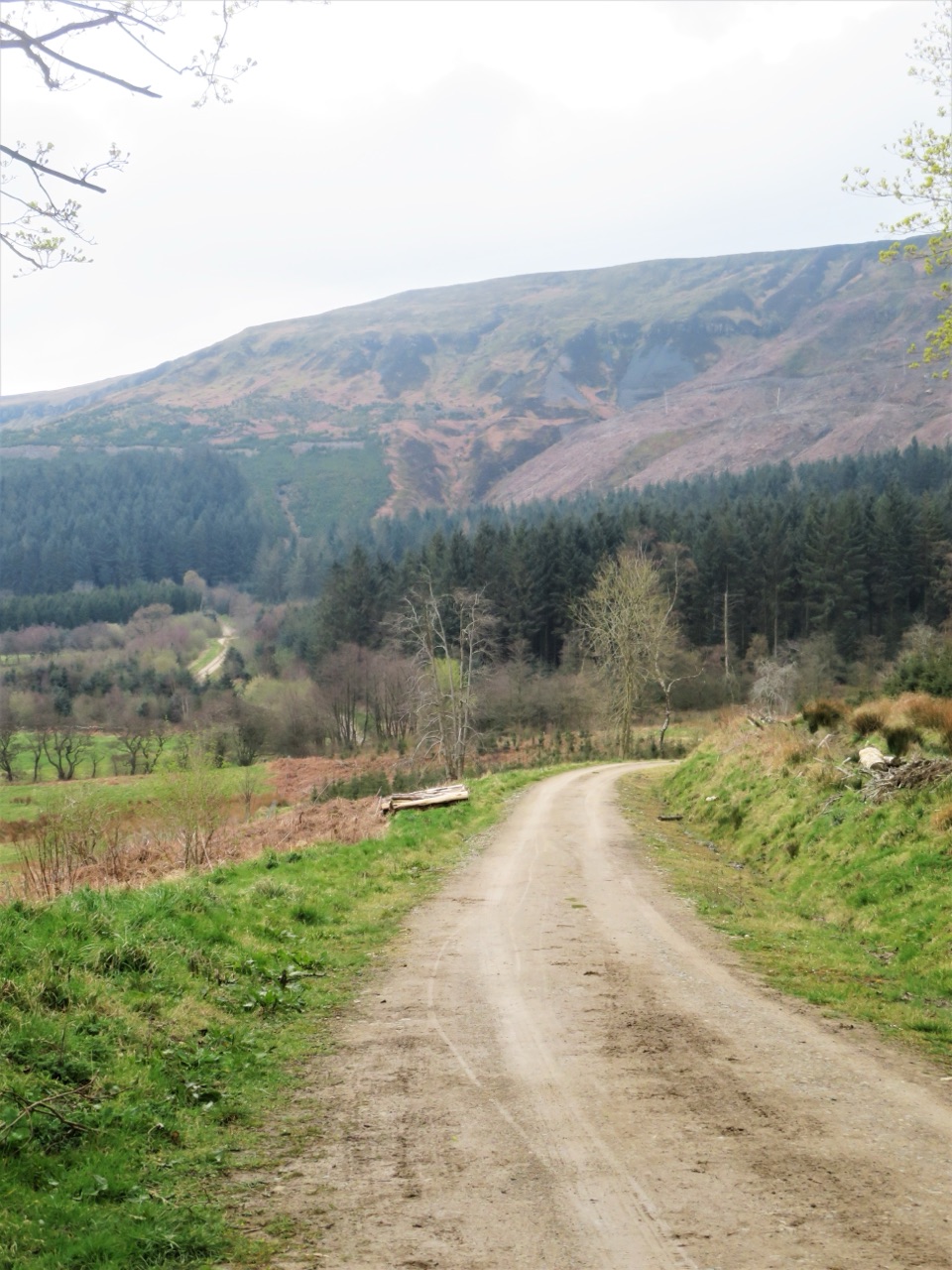
Steep forestry tracks, shady plantation and big views to Roseberry Topping
Overview
Map & elevation
Plan your hike

The highest, rockiest slopes around here are a summer buffet for grizzly bears.
North York Moors Tour Guide
Parkwolf is a GPS audio tour guide for North York Moors National Park. As you drive, it chimes in with what’s ahead: hidden gems, upcoming stops, history, geology, and wildlife, right through your car’s speakers.
Recorded for this trailhead
Clay Bank and the Wainstones“You're approaching Clay Bank, the starting point for a walk up to the Wainstones. The sandstone pillars sit on Hasty Bank, reached by a roughly three-mile return with a steep climb before the ridge levels out.”
Plays as you drive up to this trailhead in the Parkwolf North York Moors Tour Guide.
More stories near here in the app
“Fantastic app with many points of information… It’s great to just turn on while you’re driving and it gives you an audio tour of the national Park. We love it!!!!”


Trail guide
A closed circular loop of 3 miles / 4.8 km, starting and finishing at the Forestry Commission car park and picnic area at Clay Bank on the B1257 Helmsley to Stokesley road. Allow about 1 hour 30 minutes. The stated distance follows the official route leaflet, which is the figure to plan by; detailed mapping of the same loop measures a little over 5 km, a normal difference from a rounded published distance. Total ascent and descent are around 119 m, with the start and finish near 248 m.
From the car park the walk drops down a short minor-road section towards Ingleby Greenhow, then passes through a barrier onto stone forestry tracks. From there it contours above the valley and enters Greenhow Plantation, climbs on the section between a main track and a crossing bridleway, and picks up the upper forest tracks. The return is via a gate, a lay-by and a short stretch of roadside back to the car park. It is a genuine loop rather than an out-and-back, and it does not take in the Cleveland Way, the Wainstones or Hasty Bank.
The reward is the mix of shaded woodland walking through Greenhow Plantation and open, broad views across the Cleveland plain, with Roseberry Topping and the Captain Cook Monument picked out on clear days. Much of the plantation was conifer, and restoration work here is steadily bringing back native alder, rowan, willow, oak and birch. For the views, pick a day with good visibility; the woodland sections are welcome shade when the sun is strong.
Editorial difficulty 4/10. There are no steps and no stiles, but this is not an easy stroll: the road descent reaches gradients of up to 1:4, forestry tracks up to about 1:6, and the upper tracks around 1:7. Underfoot you get a short minor road, stone and aggregate forestry tracks, and stretches of forested or wilder trail and short path. Much of the loop is on firm track, but soil and grass cover parts of it, loose and rough surfaces occur in places, and after wet weather Clay Bank can be muddy with muddy hollows forming. Boots or sturdy shoes are sensible.
This is officially a Miles without Stiles route in the "For some" category, not "For all" or "For many". Strong and confident wheelchair users with help, and some experienced off-road mobility scooter users, may find it within their abilities because of the absence of steps and stiles. It is not a general wheelchair, pushchair or universally accessible route, and the several steep gradients are the reason why. Judge the gradients above against your own equipment and support before setting out.
Dogs are welcome. In Forestry Commission woods they may be off lead only while genuinely under control, and you should put them on a lead when horses pass on the bridleway sections in Greenhow Plantation. Keep them under close control around livestock and wildlife.
Start and finish at the Forestry Commission car park and picnic area at Clay Bank on the B1257, OS grid reference NZ 572 035. There are no facilities on the route itself. Chop Gate lies about 2 3/4 miles / 4.4 km south for refreshments, and the village hall there has the nearest toilets. The loop runs mostly across Forestry Commission access land, so tracks can occasionally be closed for tree felling or other forest operations; the land is usually open at weekends. It is worth being ready to turn back or adjust if you meet signed work in progress.
Wildlife
 15 sightingsEurasian OtterMost seen around 7 PMSighting map
 10 sightingsRed DeerMost seen around 7 AMSighting map
 79 sightingsGrey SealMost seen around noonSighting map
 26 sightingsWestern Barn OwlMost seen around 7 PMSighting map
 33 sightingsEuropean BadgerMost seen around 7 PMSighting map
 10 sightingsMute SwanMost seen around noonSighting map
Sighting maps show where each species has been reported across North York Moors. Wildlife moves, so no sighting is guaranteed.
Keep exploring
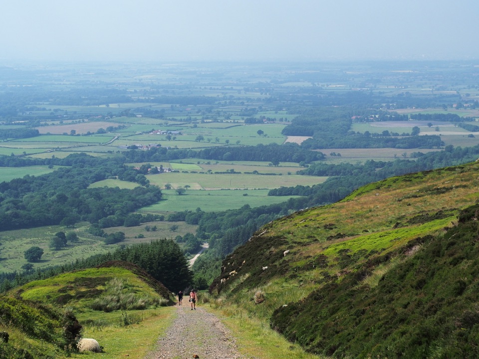 ModerateIngleby Incline Walk15 km · 4 hr · 3.9 km awayClimb a 1-in-5 ironstone incline to wide Cleveland plain views
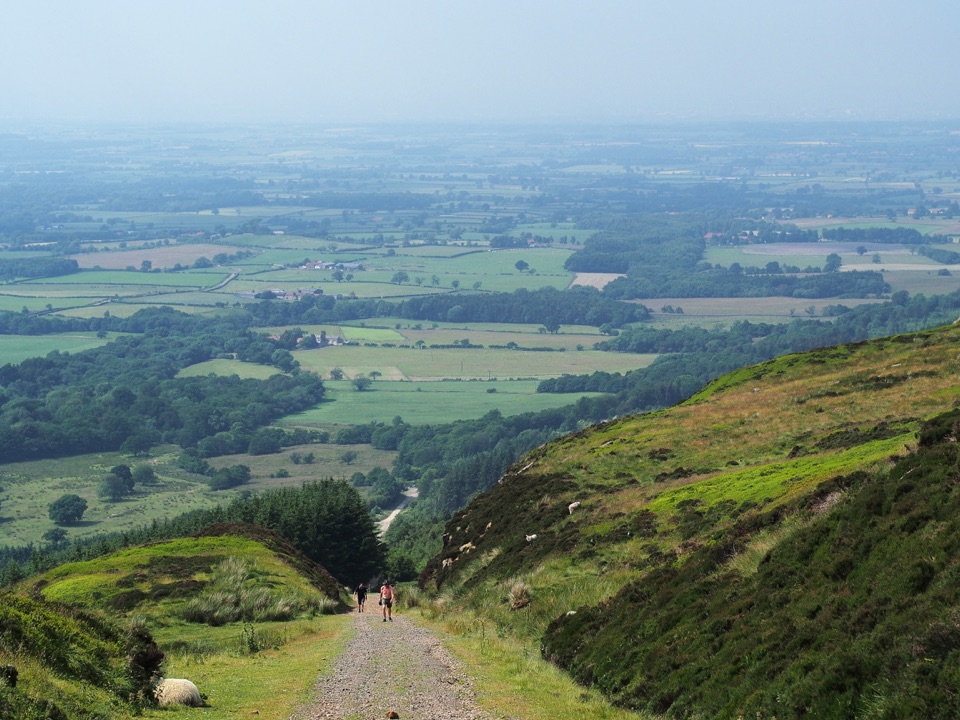 ChallengingMiles without Stiles (For some) - Ingleby Incline11.4 km · 3.8 hr · 3.9 km awayA mile of 1:5 Victorian railway incline, climbed on foot from Battersby
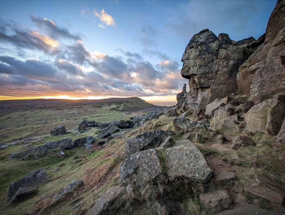 ChallengingCold Moor and Urra Moor Walk14.3 km · 5.3 hr · 4.4 km awayA 14.3 km moorland loop from Chop Gate over the Wainstones ridge
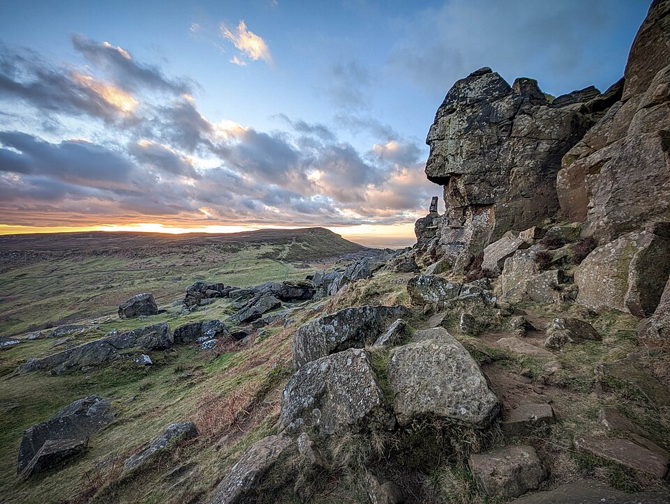 ChallengingWainstones Walk13.2 km · 5 hr · 4.4 km awayClimb Cold Moor to the Wainstones on a demanding ridge-and-moor loop
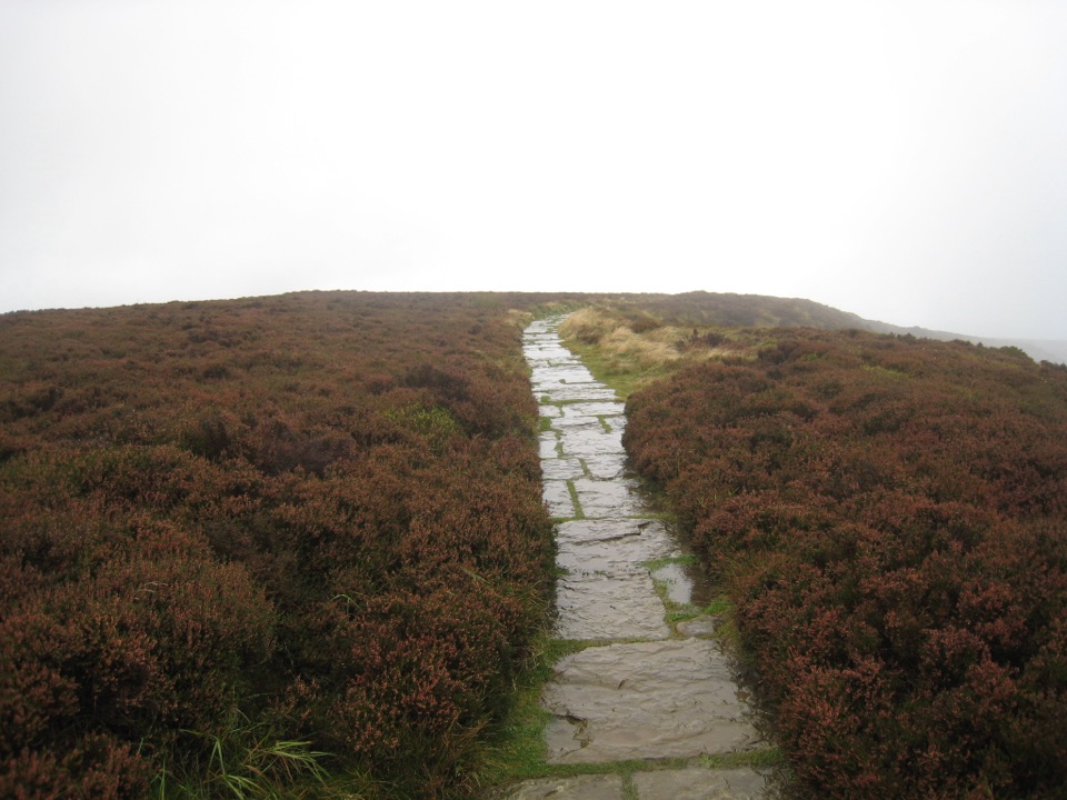 EasyLord Stones Walk4.4 km · 1.4 hr · 4.8 km awaySteep pitched climb to a stone seat above the wide Cleveland plain
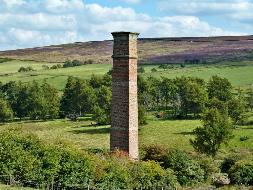 ModerateWarren Moor Mine from Kildale5.3 km · 1.5 hr · 6.8 km awayQuiet lanes and a steep grass descent to a lost ironstone mine
 ModerateRoseberry Topping and Cook’s Monument11.6 km · 3.5 hr · 7.2 km awayTwo summits, one 7.2-mile loop: stone steps, open moor, 360-degree views
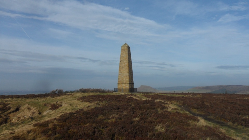 ModerateCaptain Cook's Monument Walk2 km · 1 hr · 7.7 km awayShort uphill climb to an 1827 obelisk with wide Tees Valley views
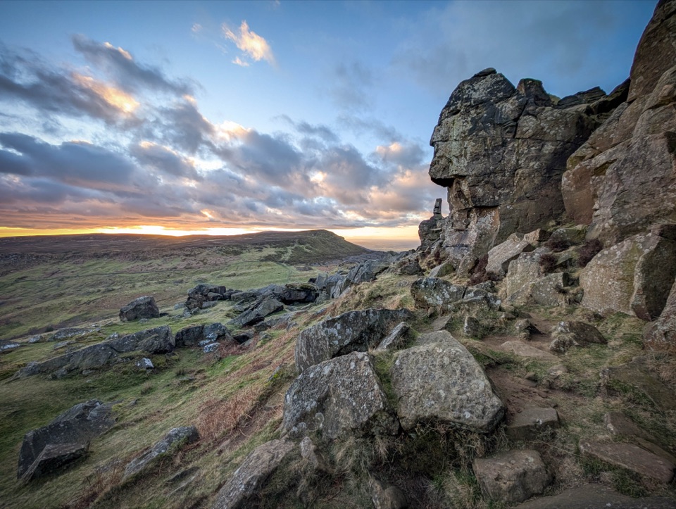 Sight · 1.4 km awayThe WainstonesSandstone pillars up a sharp climb from Clay Bank car park
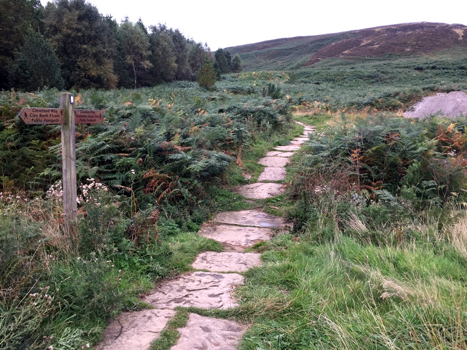 Sight · 4.8 km awayLord Stones Country ParkMoorland trailhead with cafe, camping and wide views across the plain
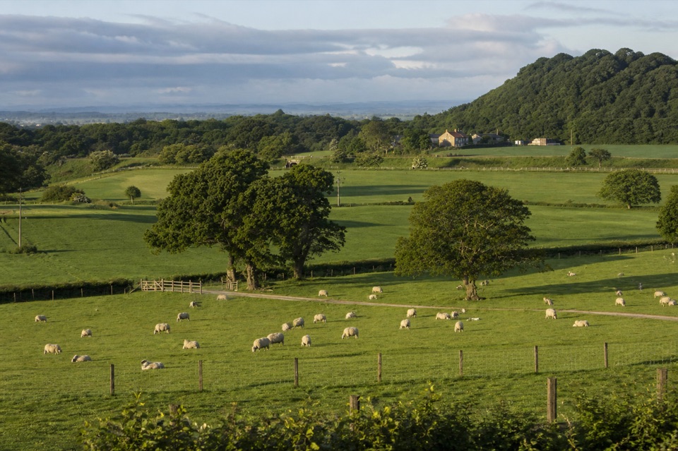 Campground · 5.7 km awayKildale Camping Barn and CampsiteQuiet working-farm pitches a field from the Cleveland Way
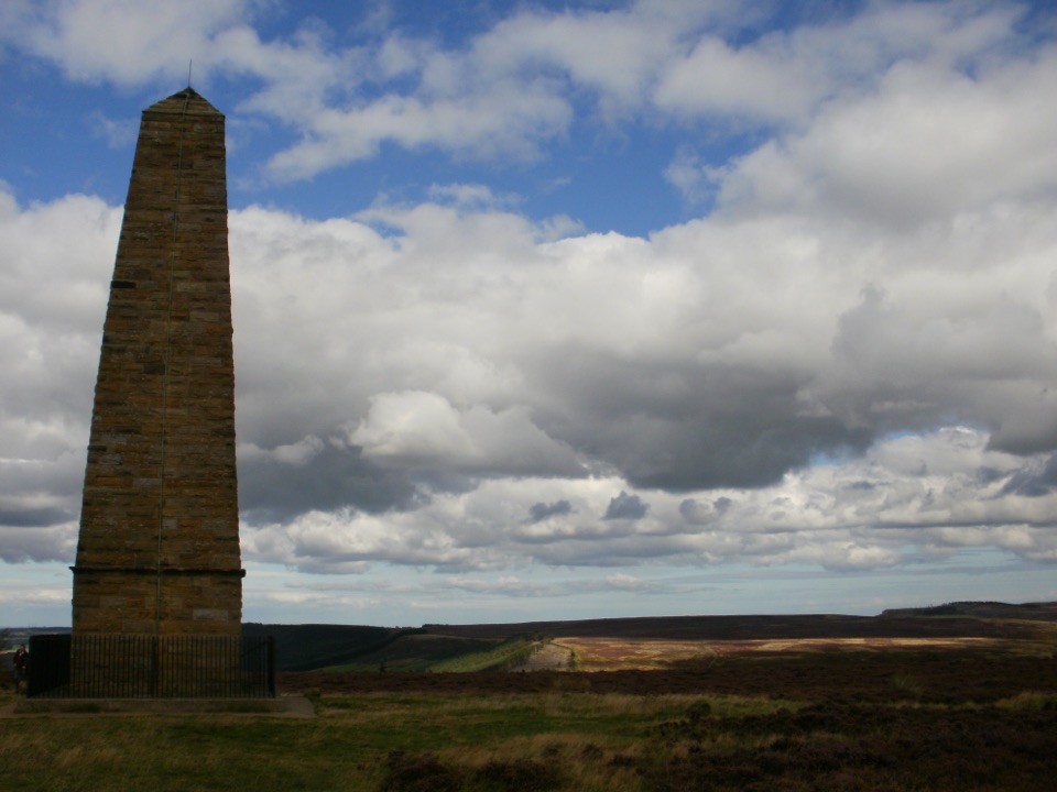 Sight · 6.8 km awayCaptain Cook's MonumentAn 18-metre sandstone obelisk on open moorland, earned on foot
 Sight · 9.1 km awayRoseberry ToppingSteep half-hour climb to a jagged summit with 360-degree Cleveland views
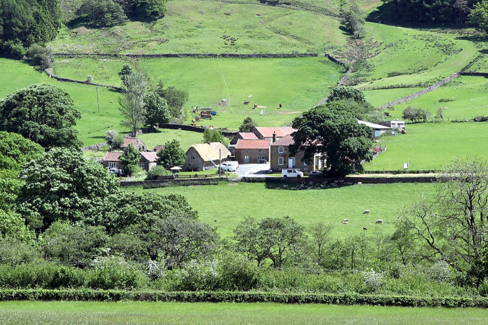 Sight · 10 km awaySpout House, BilsdaleThatched cruck-framed longhouse that served ale for two centuries
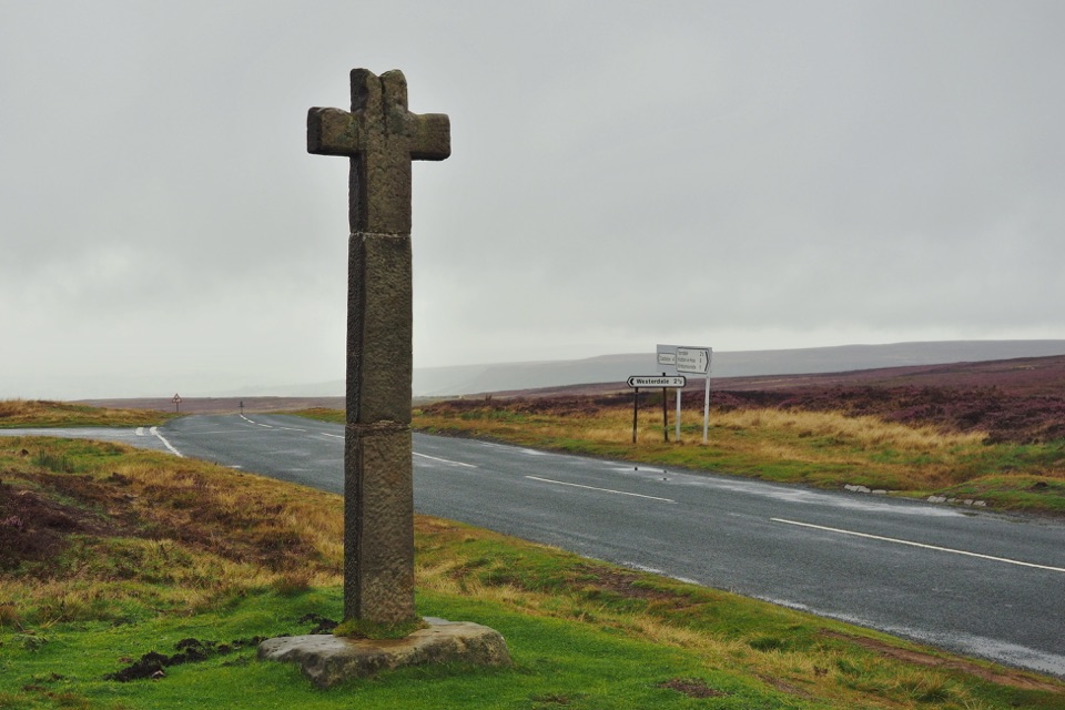 Sight · 10.6 km awayYoung Ralph CrossThe park's emblem in stone, alone on high open moorland
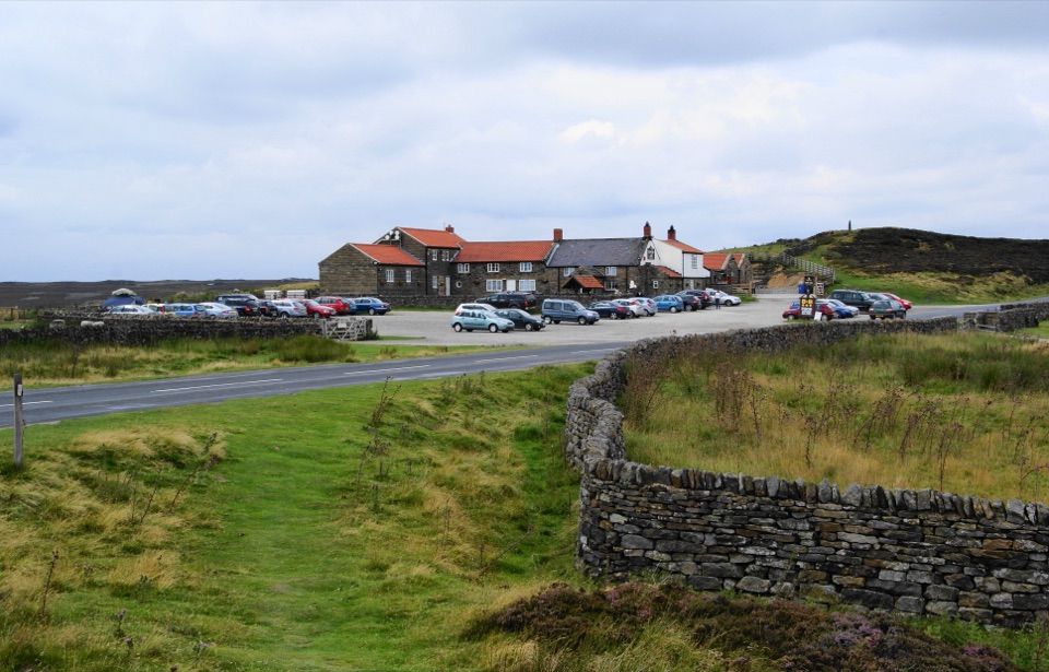 Restaurant · 11.3 km awayThe Lion Inn, Blakey RidgeOpen fires and vast moorland views at a 16th-century ridge-top freehouse
Parkwolf’s North York Moors ranking

The audio tour guide for the drive, plus offline maps, trails, and wildlife heatmaps for when the signal drops.




