Parking
Lord Stones Country Park is signposted from the A172 via Carlton-in-Cleveland, Alum House Lane and Raisdale Road. The large free car park is at the café and outdoor seating area, with toilets, a café-restaurant and local produce shop.
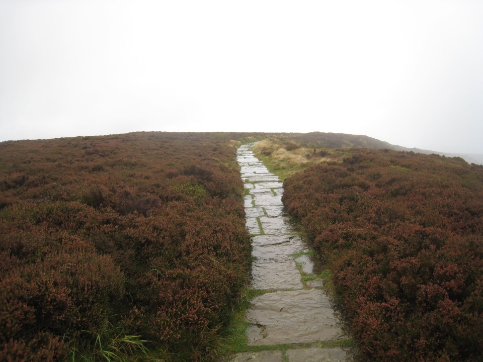
North York Moors National Park, EN
Steep pitched climb to a stone seat above the wide Cleveland plain
Overview
Map & elevation
Plan your hike

The highest, rockiest slopes around here are a summer buffet for grizzly bears.
North York Moors Tour Guide
Parkwolf is a GPS audio tour guide for North York Moors National Park. As you drive, it chimes in with what’s ahead: hidden gems, upcoming stops, history, geology, and wildlife, right through your car’s speakers.
Recorded for this trailhead
Lord Stones Country Park“Lord Stones Country Park is coming up on Carlton Bank, a good place to stop for a moorland view and a proper meal.”
Plays as you drive up to this trailhead in the Parkwolf North York Moors Tour Guide.
More stories near here in the app
“Fantastic app with many points of information… It’s great to just turn on while you’re driving and it gives you an audio tour of the national Park. We love it!!!!”


Trail guide
A circular walk of 4.4 km (2.74 miles) from Lord Stones Country Park around the lower and upper slopes of Cringle Moor, taking about 1.5 hours. Total ascent is around 143 m, rising from 286 m to a high point of 423 m.
From the cafe and car park the path leaves beside a small plantation and joins the Cleveland Way for a short stretch, then turns left at a stone wall onto a track through trees. A contour path carries you around the flank of Cringle Moor before a Cleveland Way marker, just before a stream, signals a sharp right turn and the start of the climb. The stepped bank leads over the top of the moor to the stone viewing seat, where you turn left, descend the gentler side, rejoin the earlier junction and retrace the approach to the car park.
The promoted route is graded easy overall, but the climb deserves respect. Roughly 57% is path, 39% dirt road and 5% asphalt, with no stiles. The main ascent uses stone pitching and reaches about 1 in 3, with a short 1 in 2 section; the descent is easier at up to about 1 in 4. Clay soil turns muddy after rain, and erosion has narrowed some sections and left cross-slopes underfoot. There are severe drops beside the stepped path and along the moorland edge, so keep children close and take care in wind or poor visibility.
The payoff is a broad panorama over the Cleveland plain toward Middlesbrough, with Roseberry Topping and Cook's Monument in view and open heather moorland all around. The stone seat near the summit is the natural place to stop. Look for the marks of historic jet mining on these slopes, including old spoil heaps and quarrying scars.
Save this walk for a clear day, since the views are the main reward. Expect mud after wet weather, wear boots with grip, and allow extra time for the steep pitched climb and for lingering at the viewpoints.
Lord Stones Country Park is signposted from the A172, about 5 miles north of the A19/A172 junction and 3 miles south of Stokesley, approached via Carlton-in-Cleveland, Alum House Lane and Raisdale Road. There is a large free car park, plus toilets, a cafe-restaurant and a local produce shop at the start and finish. The walk begins at the cafe and outdoor seating area, with the mapped route starting about 15 m away.
Ordinary dogs are welcome, but must be kept on a short fixed lead at all times, which matters on the exposed edges and around grazing moorland.
A separate, longer and rockier outing continues to Wainstones and Cold Moor, running about 11 miles. It is a different route with its own demands rather than an extension of this loop.
Wildlife
 15 sightingsEurasian OtterMost seen around 7 PMSighting map
 10 sightingsRed DeerMost seen around 7 AMSighting map
 79 sightingsGrey SealMost seen around noonSighting map
 26 sightingsWestern Barn OwlMost seen around 7 PMSighting map
 33 sightingsEuropean BadgerMost seen around 7 PMSighting map
 10 sightingsMute SwanMost seen around noonSighting map
Sighting maps show where each species has been reported across North York Moors. Wildlife moves, so no sighting is guaranteed.
Keep exploring
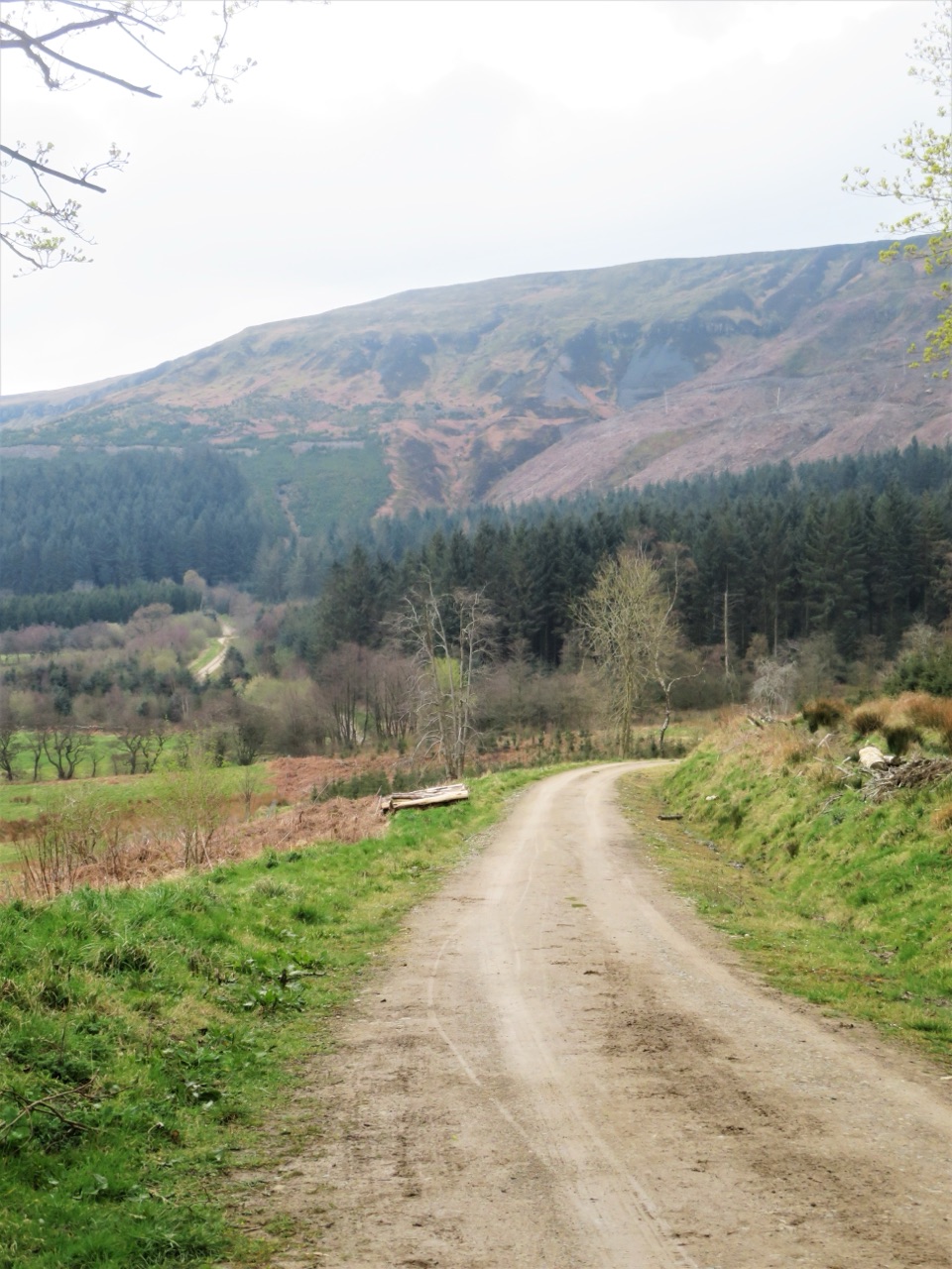 ModerateMiles without Stiles (For some) - Clay Bank and Greenhow Plantation4.8 km · 1.5 hr · 4.8 km awaySteep forestry tracks, shady plantation and big views to Roseberry Topping
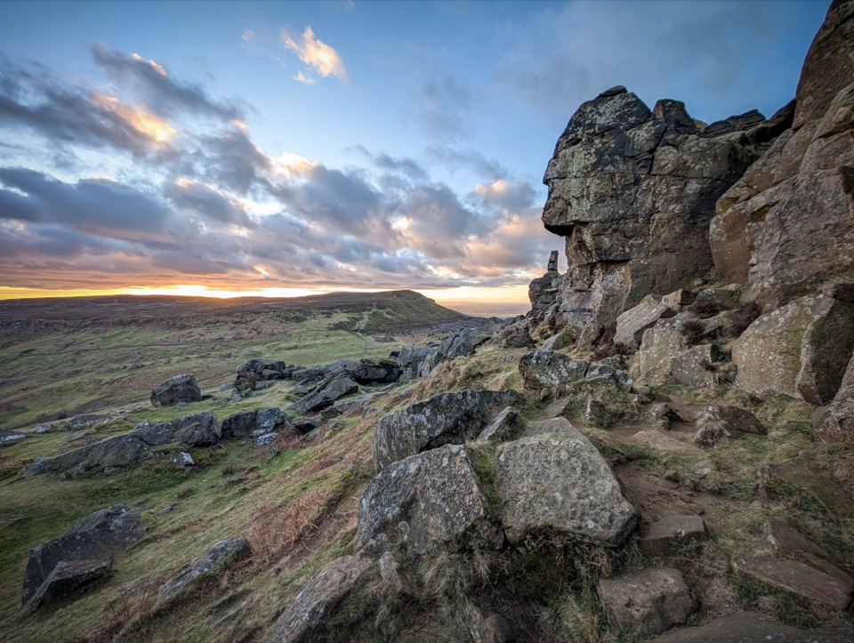 ChallengingCold Moor and Urra Moor Walk14.3 km · 5.3 hr · 5 km awayA 14.3 km moorland loop from Chop Gate over the Wainstones ridge
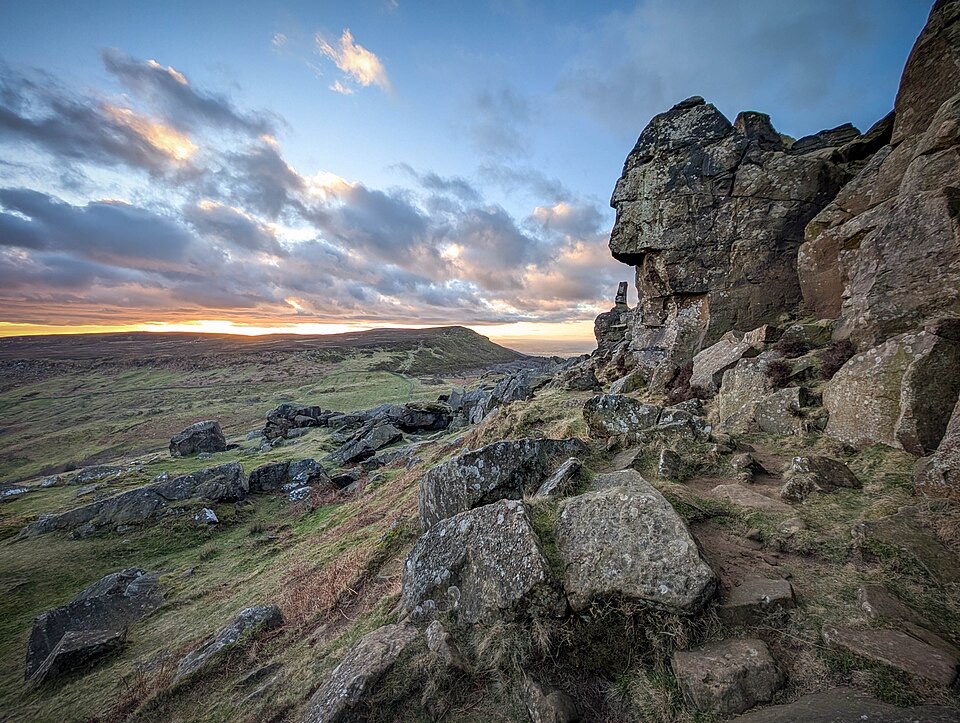 ChallengingWainstones Walk13.2 km · 5 hr · 5 km awayClimb Cold Moor to the Wainstones on a demanding ridge-and-moor loop
 ChallengingLyke Wake Walk64.7 km · 18 hr · 6.8 km awayA brutal 40-mile moorland crossing from Osmotherley to Ravenscar
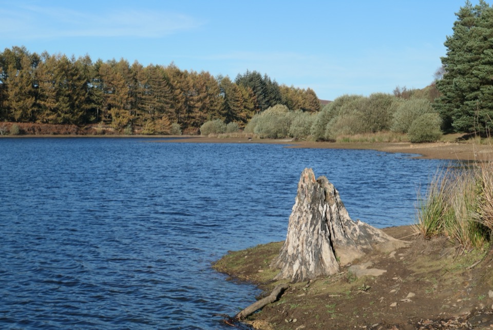 EasyCod Beck Reservoir Circular2.4 km · 1 hr · 6.8 km awayWide, level shoreline loop with an embankment crossing and woodland bridge
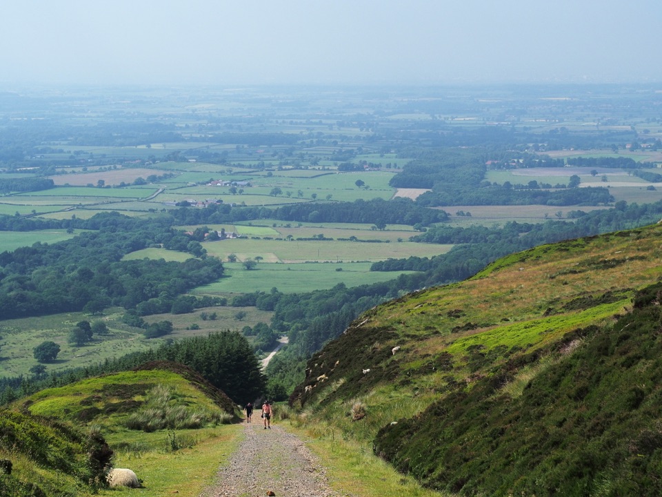 ModerateIngleby Incline Walk15 km · 4 hr · 7.6 km awayClimb a 1-in-5 ironstone incline to wide Cleveland plain views
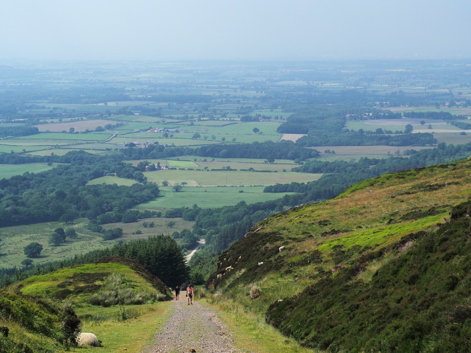 ChallengingMiles without Stiles (For some) - Ingleby Incline11.4 km · 3.8 hr · 7.6 km awayA mile of 1:5 Victorian railway incline, climbed on foot from Battersby
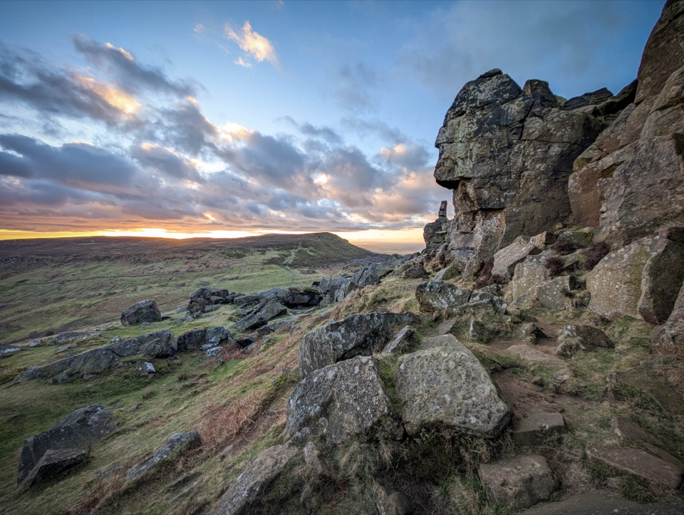 ChallengingCoast to Coast: Ingleby Cross to Clay Bank Top19 km · 7 hr · 7.8 km awayBig moorland climbs to the Wainstones on the Cleveland escarpment
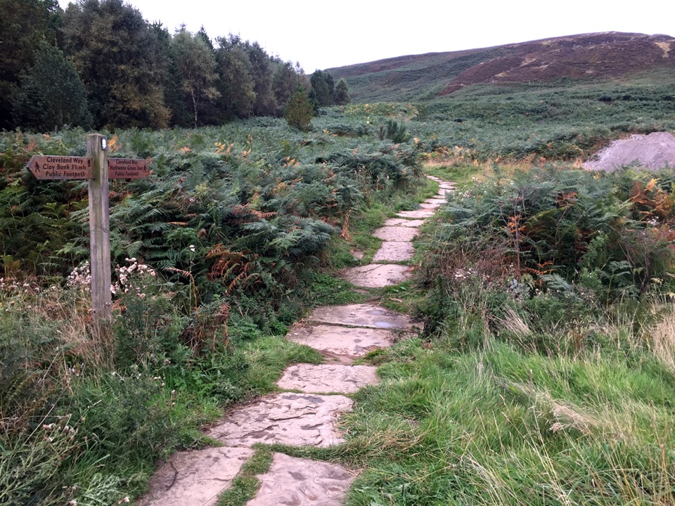 Sight · 0.1 km awayLord Stones Country ParkMoorland trailhead with cafe, camping and wide views across the plain
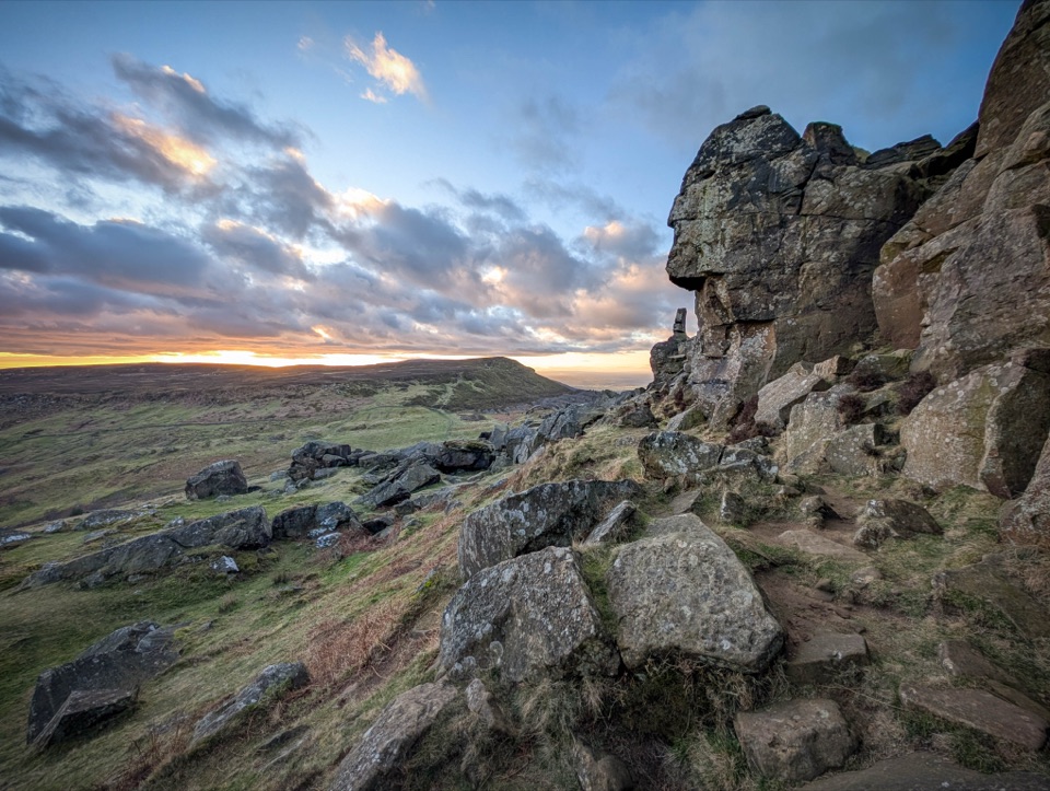 Sight · 3.5 km awayThe WainstonesSandstone pillars up a sharp climb from Clay Bank car park
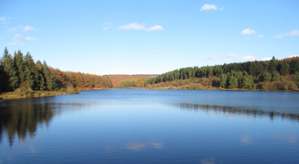 Sight · 7.3 km awayCod Beck ReservoirQuiet moor-edge reservoir with an easy, mostly flat 1.5-mile loop
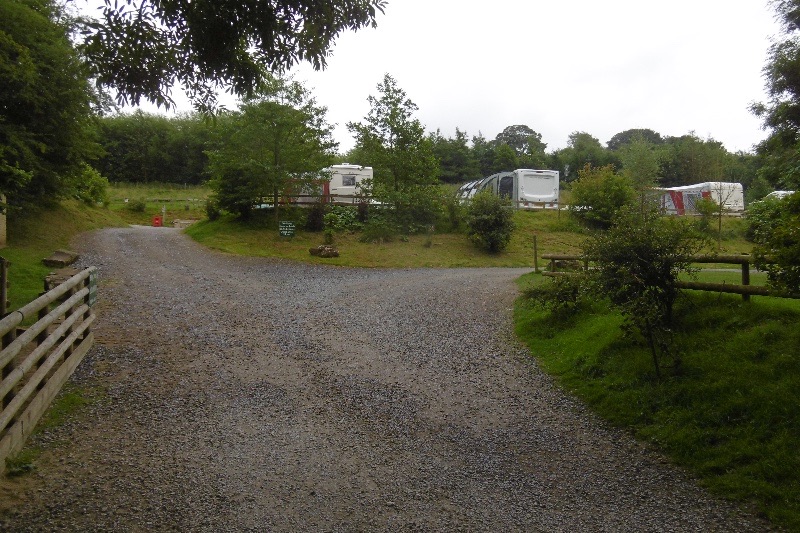 Campground · 8.2 km awayCote Ghyll Caravan Park and CampsiteTerraced pitches in a wooded stream valley, minutes from Osmotherley
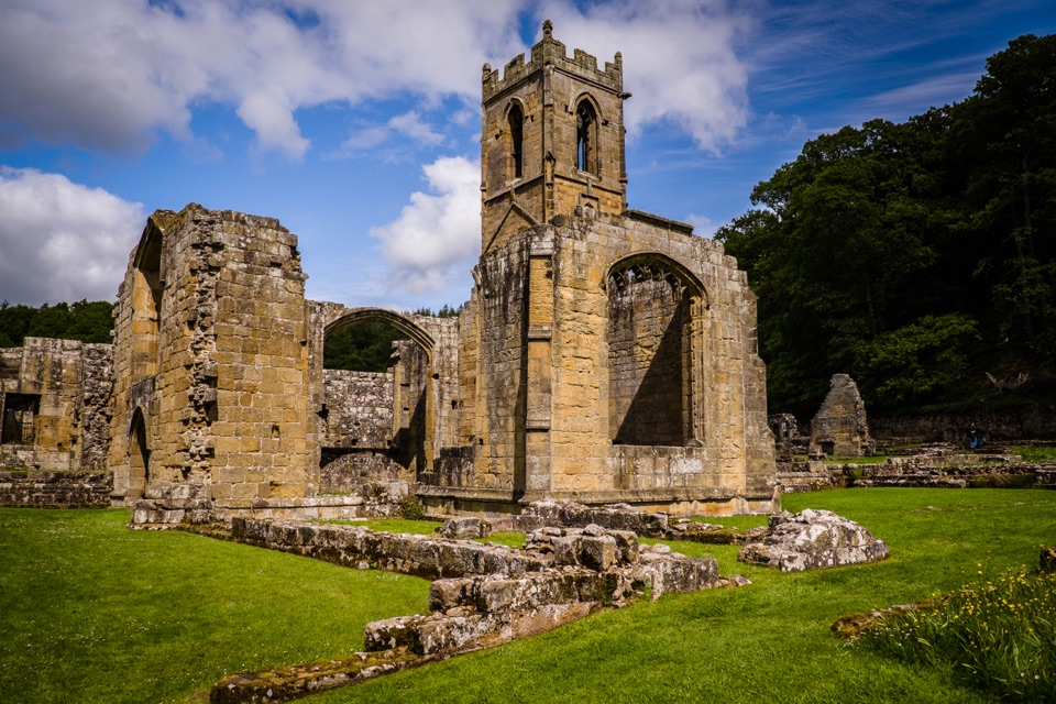 Sight · 8.7 km awayMount Grace Priory, House and GardensRebuilt monk's cell, ruined Carthusian cloister, 13 acres of gardens
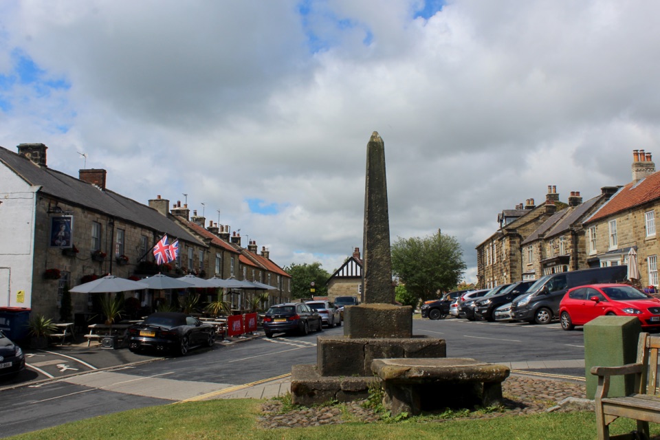 Sight · 8.9 km awayOsmotherleyStone-built walking village with a green, cross and drovers' history
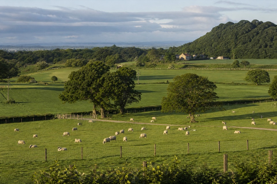 Campground · 9.5 km awayKildale Camping Barn and CampsiteQuiet working-farm pitches a field from the Cleveland Way
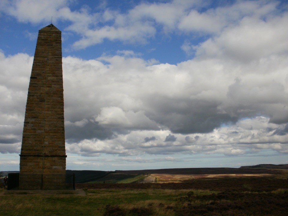 Sight · 9.7 km awayCaptain Cook's MonumentAn 18-metre sandstone obelisk on open moorland, earned on foot
Parkwolf’s North York Moors ranking

The audio tour guide for the drive, plus offline maps, trails, and wildlife heatmaps for when the signal drops.




