Parking
Chop Gate Village Hall car park on the B1257 is the start and finish. Toilets are available there; the Buck Inn is a short walk away in Chop Gate.
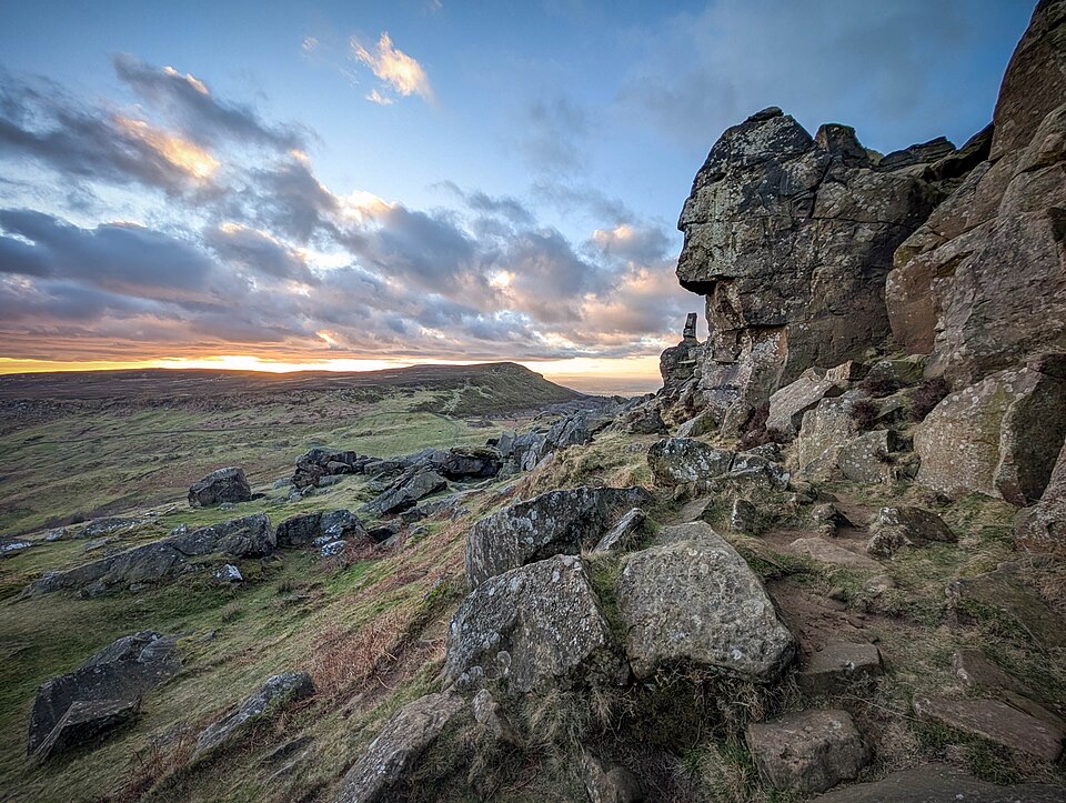
#8 of 126 trails in North York Moors
North York Moors National Park, EN
Climb Cold Moor to the Wainstones on a demanding ridge-and-moor loop
Overview
A closed circular loop of 13.2 km (8.2 miles) starting and finishing at Chop Gate Village Hall car park, with about 423 m of ascent. Moving time works out at around 3 hours 55 minutes, but a realistic allowance for ordinary walking and stops is about 5 hours, and 5 hours 30 minutes is sensible if you like a slower pace.
Map & elevation
Plan your hike

The highest, rockiest slopes around here are a summer buffet for grizzly bears.
North York Moors Tour Guide
Parkwolf is a GPS audio tour guide for North York Moors National Park. As you drive, it chimes in with what’s ahead: hidden gems, upcoming stops, history, geology, and wildlife, right through your car’s speakers.
Recorded for this trailhead
Chop Gate and the Wainstones Walk“You're approaching Chop Gate Village Hall, where the Wainstones Walk starts. This is an eight-mile, roughly five-hour loop, climbing Cold Moor to sandstone outcrops and broad views over Bilsdale and the Tees Valley.”
Plays as you drive up to this trailhead in the Parkwolf North York Moors Tour Guide.
More stories near here in the app
“Fantastic app with many points of information… It’s great to just turn on while you’re driving and it gives you an audio tour of the national Park. We love it!!!!”


Trail guide
From the car park the route heads into Chop Gate and passes behind the chapel, then climbs steadily onto Cold Moor. You follow the moor top to the escarpment edge and join the Cleveland Way, crossing the Wainstones and continuing over Hasty Bank. Beyond that the walk leaves the main route for a bridleway that curves around the top of Urra Moor before dropping back down to Chop Gate. The payoff is a long stretch of open ridge with views across the Tees Valley, into Bilsdale and out over the surrounding moors.
This is a difficult walk in the local classification, and the grading is fair. The climb onto Cold Moor is sustained, and there are steep, rocky ascents and descents at the Wainstones and on Hasty Bank. Tracks on Cold Moor and Urra Moor are clearly defined, and the Cleveland Way section is largely stone surfaced and well waymarked. There are no stiles. Heather tracks can be wet or boggy, so expect soft, sticky ground in places and wear walking boots.
The route spends hours on open, exposed moorland, climbing from roughly 160 m at Chop Gate to around 380 m on the tops. Visibility can drop quickly and conditions can change fast, so carry windproof and waterproof layers. Waymarking on the Cleveland Way is good, but the moor and bridleway sections reward attention. Carry an OL26 map as a backup to mobile mapping.
Early morning and late afternoon light suits the escarpment best, picking out the sandstone shapes and the long drop into the valley. Clear, settled days give the widest views over Bilsdale and the Tees Valley. In poor visibility the ridge loses its main attraction, so it is worth waiting for a better window if the tops are clouded in.
The Wainstones are a cluster of weathered sandstone outcrops, including climbing pillars known as the steeple and the needle, and they are one of the defining features of this stretch of escarpment. On Cold Moor you pass Three Howes, a group of Bronze Age burial mounds, and along the Urra Moor edge there is a long bank and ditch of uncertain age. The heather moorland is important ground for nesting birds in spring and early summer.
Start and finish at Chop Gate Village Hall car park on the B1257, where there are toilets. The Buck Inn is a short walk from the car park and is passed near the end of the walk.
Dogs are allowed but should be kept on a short lead or close to heel throughout. A short lead is required from 1 March to 31 July for ground-nesting birds and around livestock, and a lead is also safest where cyclists and horse riders share the tracks.
If 8.2 miles and 423 m of climbing is more than you want, the Lord Stones Walk is a 4.4 km circuit with similar moorland views and far less commitment. It is a separate walk, not a shortcut on this loop.
Wildlife
 15 sightingsEurasian OtterMost seen around 7 PMSighting map
 10 sightingsRed DeerMost seen around 7 AMSighting map
 79 sightingsGrey SealMost seen around noonSighting map
 26 sightingsWestern Barn OwlMost seen around 7 PMSighting map
 33 sightingsEuropean BadgerMost seen around 7 PMSighting map
 10 sightingsMute SwanMost seen around noonSighting map
Sighting maps show where each species has been reported across North York Moors. Wildlife moves, so no sighting is guaranteed.
Keep exploring
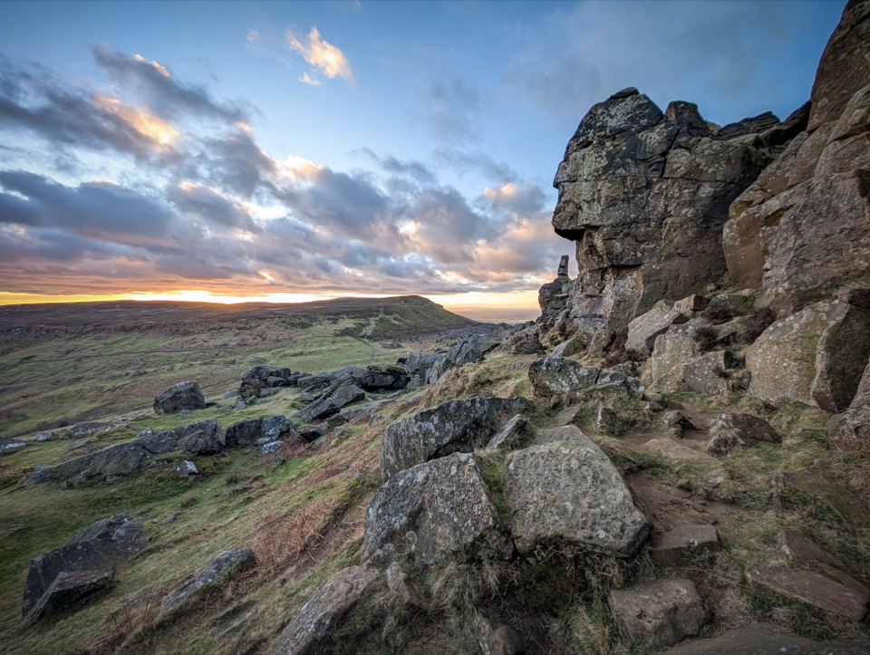 ChallengingCold Moor and Urra Moor Walk14.3 km · 5.3 hr · At the trailheadA 14.3 km moorland loop from Chop Gate over the Wainstones ridge
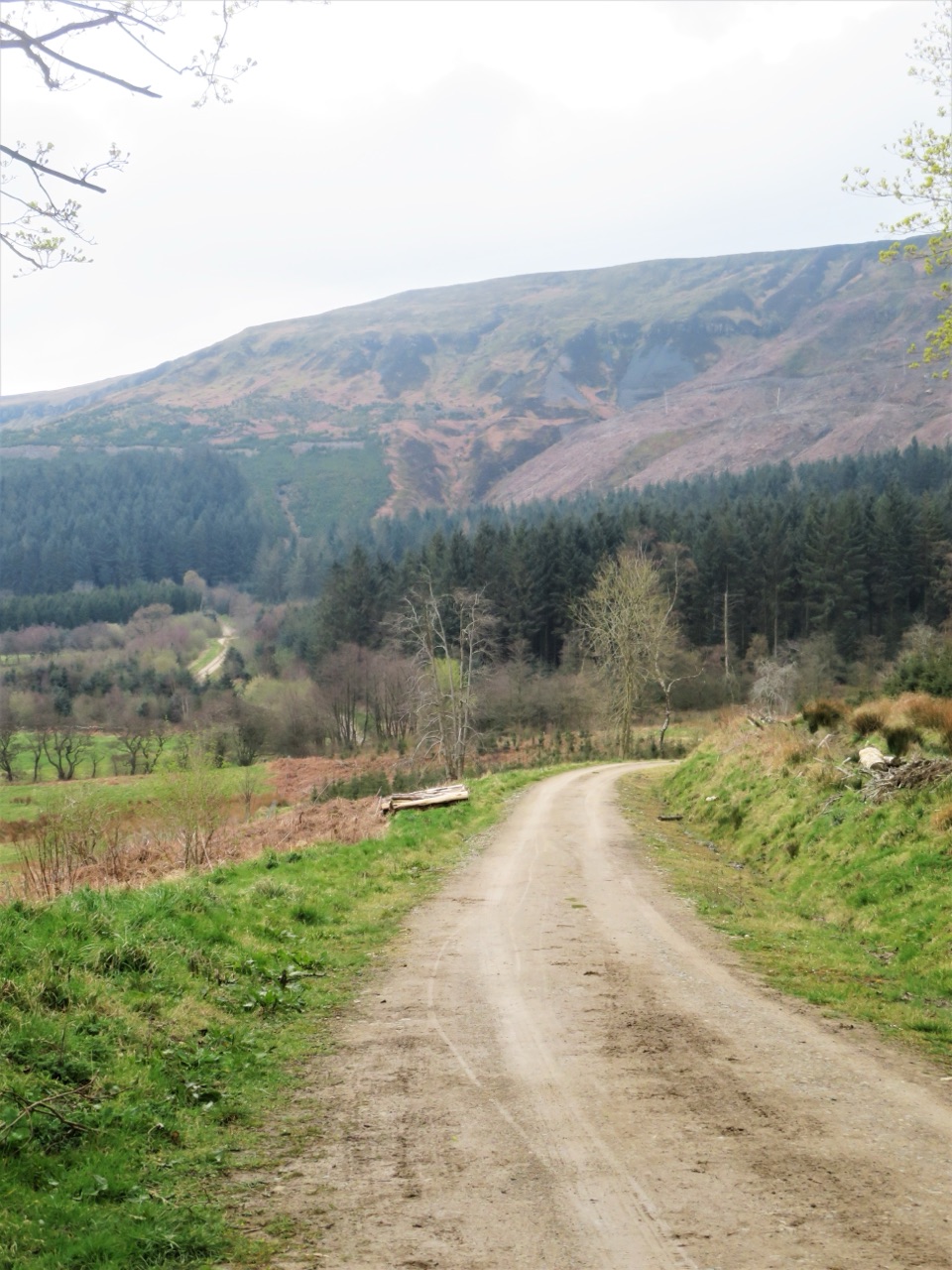 ModerateMiles without Stiles (For some) - Clay Bank and Greenhow Plantation4.8 km · 1.5 hr · 4.4 km awaySteep forestry tracks, shady plantation and big views to Roseberry Topping
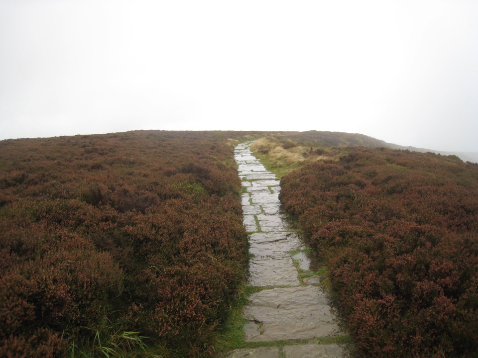 EasyLord Stones Walk4.4 km · 1.4 hr · 5 km awaySteep pitched climb to a stone seat above the wide Cleveland plain
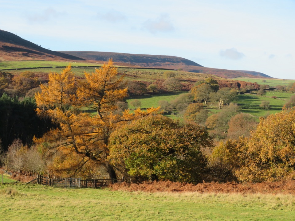 EasyHawnby Circular4.3 km · 1 hr · 7.2 km awayA hilly mix of woodland, river crossings and open moorland.
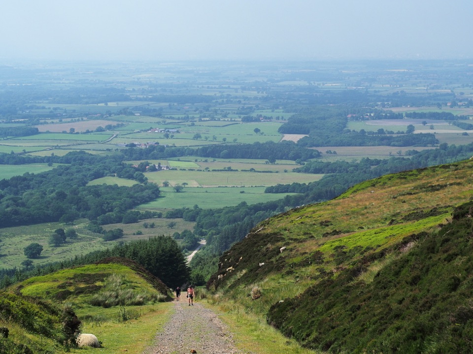 ModerateIngleby Incline Walk15 km · 4 hr · 8.3 km awayClimb a 1-in-5 ironstone incline to wide Cleveland plain views
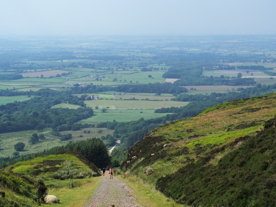 ChallengingMiles without Stiles (For some) - Ingleby Incline11.4 km · 3.8 hr · 8.3 km awayA mile of 1:5 Victorian railway incline, climbed on foot from Battersby
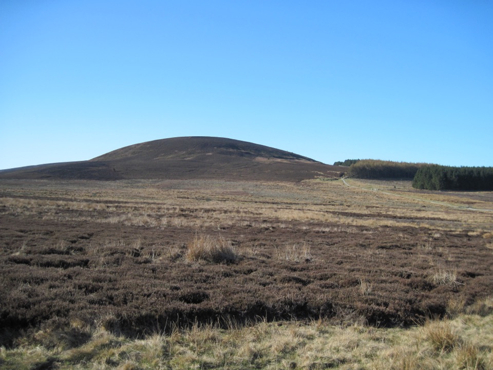 ModerateBlack Hambleton Walk12.9 km · 3.8 hr · 8.7 km awayQuiet moorland loop to the Hambleton Hills' highest point, wide vale views
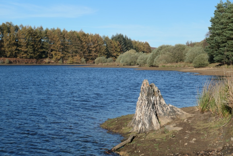 EasyCod Beck Reservoir Circular2.4 km · 1 hr · 9.1 km awayWide, level shoreline loop with an embankment crossing and woodland bridge
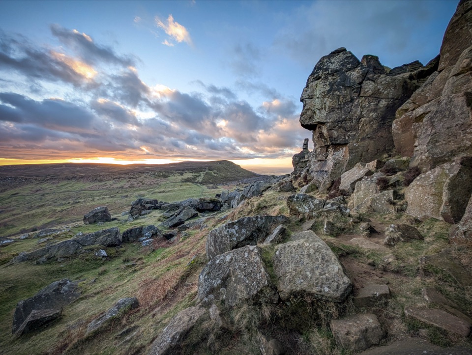 Sight · 4.2 km awayThe WainstonesSandstone pillars up a sharp climb from Clay Bank car park
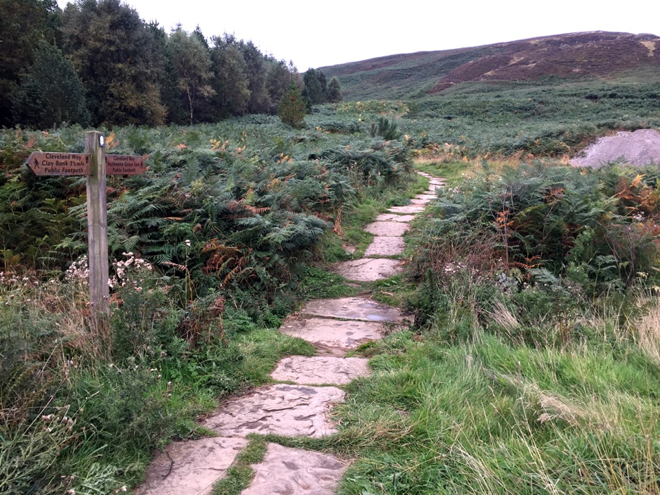 Sight · 5.1 km awayLord Stones Country ParkMoorland trailhead with cafe, camping and wide views across the plain
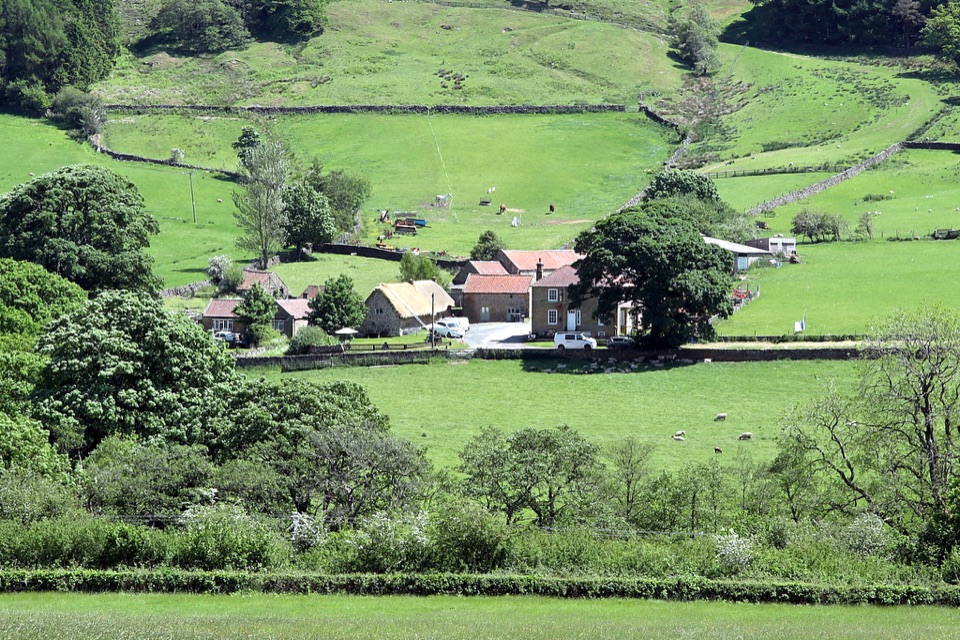 Sight · 6 km awaySpout House, BilsdaleThatched cruck-framed longhouse that served ale for two centuries
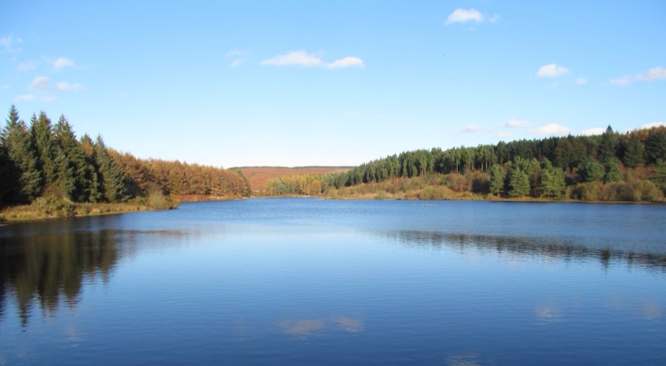 Sight · 9.4 km awayCod Beck ReservoirQuiet moor-edge reservoir with an easy, mostly flat 1.5-mile loop
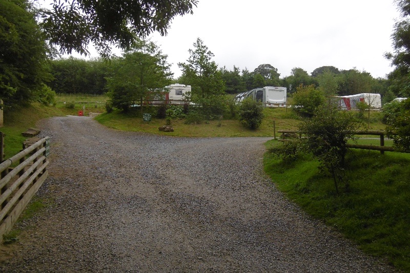 Campground · 10 km awayCote Ghyll Caravan Park and CampsiteTerraced pitches in a wooded stream valley, minutes from Osmotherley
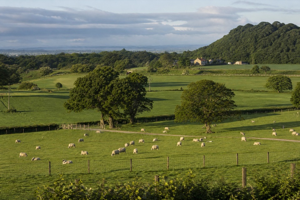 Campground · 10.1 km awayKildale Camping Barn and CampsiteQuiet working-farm pitches a field from the Cleveland Way
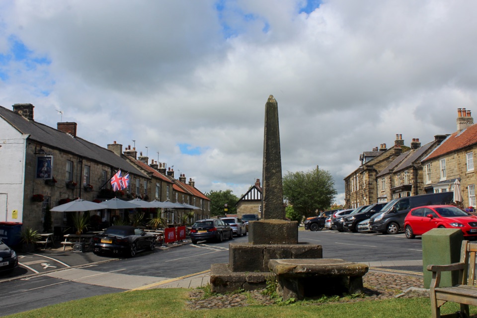 Sight · 10.5 km awayOsmotherleyStone-built walking village with a green, cross and drovers' history
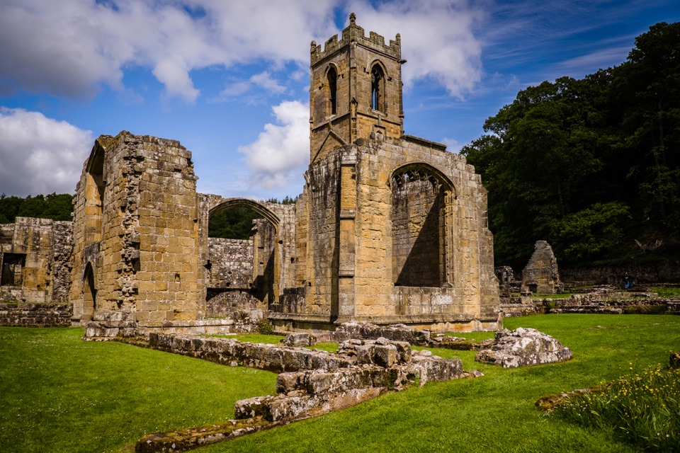 Sight · 11 km awayMount Grace Priory, House and GardensRebuilt monk's cell, ruined Carthusian cloister, 13 acres of gardens
Parkwolf’s North York Moors ranking

The audio tour guide for the drive, plus offline maps, trails, and wildlife heatmaps for when the signal drops.





