Port Mulgrave in North York Moors National Park

Sight · North York Moors National Park

Port Mulgrave

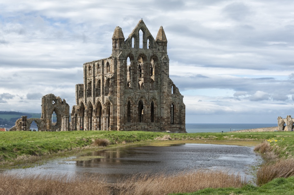
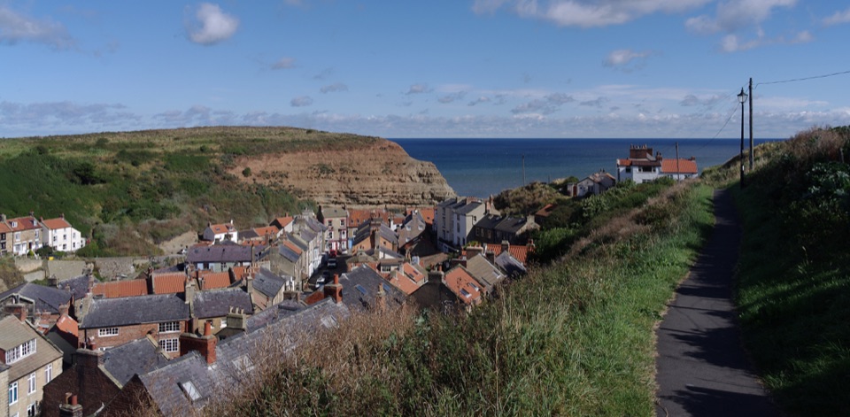
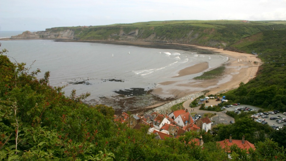
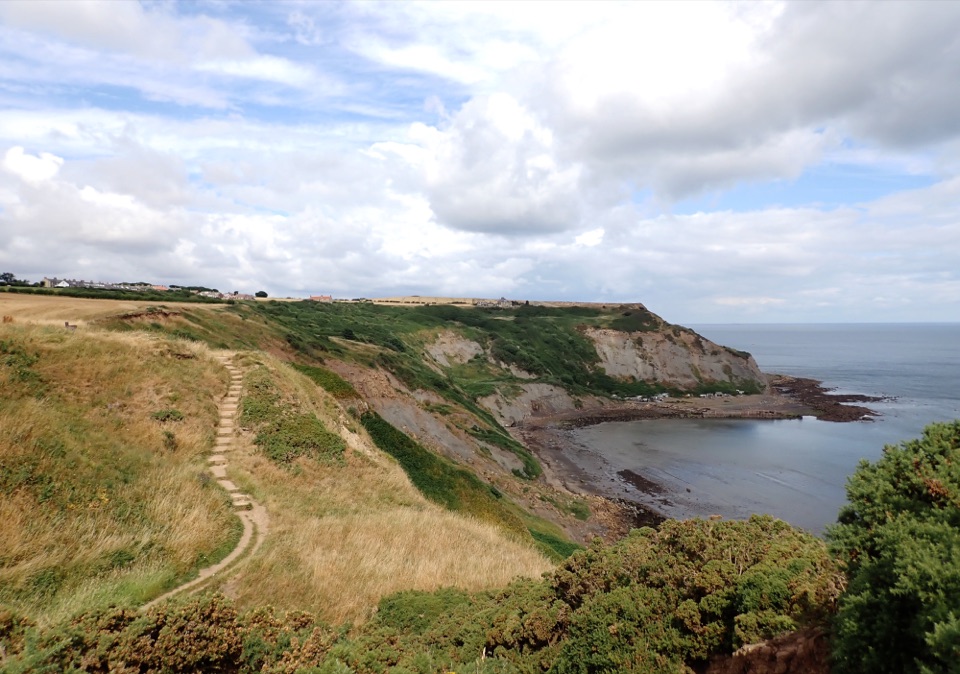
Ruined ironstone harbour below sea cliffs on the Cleveland Way

Photo: Wikimedia Commons
Type
Sight
Nearest trail
0.5 km
Audio stories
5 nearby
  • Exhibit

Hear the audio tour

Port Mulgrave's Ironstone Harbour

Overview

About Port Mulgrave

Why stop

  • Atmospheric harbour ruins and sea views
  • Cleveland Way access and fossil interest

Heads up

  • Steep, rough shore descent with a ladder
  • Erosion and tides limit foreshore access

Map

Where it is

Loading the North York Moors map
Full map
SightPort Mulgrave54.54547, -0.77267
Keep this map with you offline in the Parkwolf app

Plan your stop

Before you go

8 active North York Moors alerts

  • ClosureHawnby Bridleway 110 closurePublic Bridleway 25.122/110/1 in Hawnby is closed to pedestrians, cyclists and equestrians because its bridge is unsafe. - The closure is between grid references SE 5309 9073 and SE 5335 9097.Official details
  • ClosureWest Ayton Footpath 1 closurePublic Footpath 1 in West Ayton (Forge Valley) is temporarily closed because its boardwalk is unsafe. - The closure is between SE 9860 8494 and SE 9839 8712.Official details

See all 8 alerts
A park ranger sits on a dash-mounted phone, talking, as Parkwolf’s Tour Guide plays “Army Cutworm Moths: A Grizzly Bear Buffet” on Grand Loop Road below Dunraven Pass in Yellowstone
Parkwolf Tour GuideThe highest, rockiest slopes around here are a summer buffet for grizzly bears.

North York Moors Tour Guide

Your drive to Port Mulgrave, narrated.

Parkwolf is a GPS audio tour guide for North York Moors National Park. As you drive, it chimes in with what’s ahead: hidden gems, upcoming stops, history, geology, and wildlife, right through your car’s speakers.

Recorded for this place

Port Mulgrave's Ironstone Harbour
0:00 / 0:28
“You're approaching Port Mulgrave, a tiny clifftop hamlet above the remains of an ironstone harbour. Built in the eighteen fifties, the port left broken walls and a sealed mine tunnel on the shore below.”

Plays as you drive up to Port Mulgrave in the Parkwolf North York Moors Tour Guide.

More stories near here in the app

  • Staithes Village and Harbour
  • Runswick Bay
  • Cook Before the Sea
  • Follow the Birds to a Minke
  • 298 audio storiesacross North York Moors’s roads, triggered by GPS as you drive
  • Wildlife heatmapsfor Eurasian Otter, Red Deer, Grey Seal, and 13 more
  • Works offlinemaps, 126 trails, 65 places, and audio download before you lose signal
  • CarPlay readysimple controls built for the drive
★★★★★
“Fantastic app with many points of information… It’s great to just turn on while you’re driving and it gives you an audio tour of the national Park. We love it!!!!”
JMJamesApp Store review
Download Parkwolf on the App StoreGet Parkwolf on Google Play

4.7 from 8,600+ ratings

Guide

More about Port Mulgrave

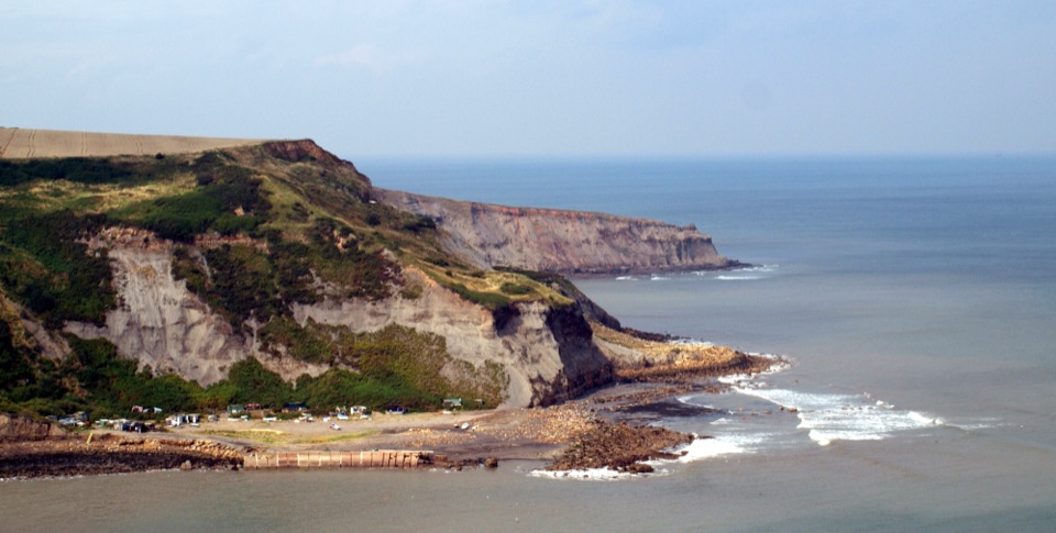
The placeA small, low-key hamlet on the cliffs between Staithes and Runswick Bay, once a working port…

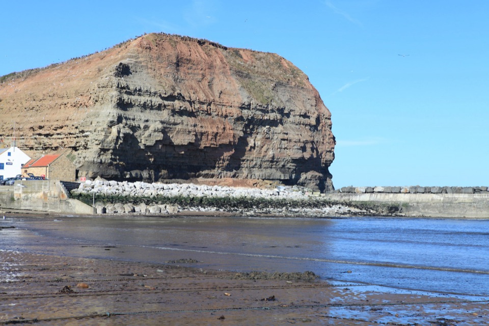
A small, low-key hamlet on the cliffs between Staithes and Runswick Bay, once a working port that shipped ironstone. The harbour was built in 1856-57 and fell out of use around 1920, leaving weathered stonework and a sealed mine tunnel entrance at the cliff base.

What you seeRuined harbour walls and scattered masonry on the foreshore below the cliff
  • Ruined harbour walls and scattered masonry on the foreshore below the cliff
  • A sealed tunnel mouth marking the old ironstone workings
  • An industrial-heritage interpretation board near the hamlet, setting out the port's story
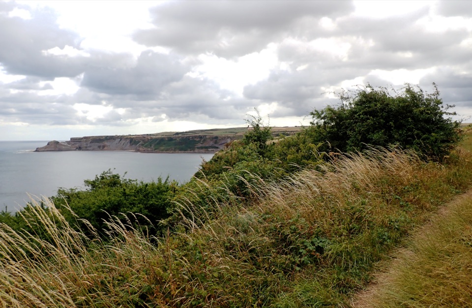
  • Long views along a steep, actively eroding stretch of coast
Getting down to the shoreThe official beach access is steep and rough and includes a wooden ladder.

The official beach access is steep and rough and includes a wooden ladder. Treat the descent as a scramble rather than a stroll, use both hands, and be honest about whether you want to climb back up. Allow plenty of daylight for the round trip.

Tide and cliff safetyCheck the tide before descending. The tide can cut off walkers on the foreshore.
  • Check the tide before descending. The tide can cut off walkers on the foreshore.
  • Coastal erosion and landslips affect these cliffs, so keep clear of the cliff base and the cliff edge above.
  • Wear footwear with grip; the foreshore is rocky and uneven.
FossilsThe foreshore is fossil-bearing.

The foreshore is fossil-bearing. Look only at loose specimens already lying on the rocks and shingle. Do not dig into the cliffs or the old spoil, both for the sake of the site and your own safety.

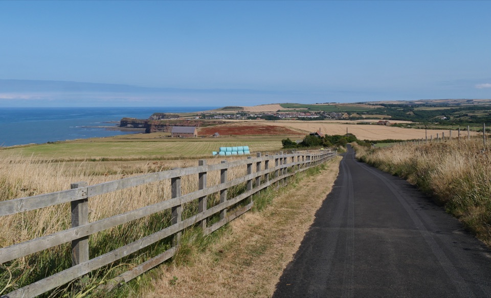
WalkingThe Cleveland Way runs along the clifftop here.
  • The Cleveland Way runs along the clifftop here.
  • The clifftop stretch from Staithes to Port Mulgrave is about one mile.
  • A four-mile circular linking Staithes and Port Mulgrave is a longer option.
WildlifeThe coast supports seabirds along the cliffs and marine life in the rock pools and shallows.

The coast supports seabirds along the cliffs and marine life in the rock pools and shallows. Binoculars are worth carrying for both.

Practical notesThis is a small, quiet hamlet with limited facilities, so arrive self-sufficient with water,…

This is a small, quiet hamlet with limited facilities, so arrive self-sufficient with water, layers and anything else you need for the walk.

Wildlife

Wildlife in North York Moors

All North York Moors wildlife maps

Sighting maps show where each species has been reported across North York Moors. Wildlife moves, so no sighting is guaranteed.

Parkwolf’s North York Moors ranking

Top sights in North York Moors

All 65 places
  1. 1North Yorkshire Moors RailwaySight
  2. 2Roseberry ToppingSight
  3. 3Rievaulx AbbeySight
  4. 4Robin Hood's Bay and BeachSight
  5. 5Hole of HorcumSight
  6. 6Goathland StationSight

Take Parkwolf to North York Moors.

The audio tour guide for the drive, plus offline maps, trails, and wildlife heatmaps for when the signal drops.

4.7 from 8,600+ ratings

Download Parkwolf on the App StoreGet Parkwolf on Google Play