Best time to go
Early morning, or outside fine weekends, is quieter and easier for parking. Low tide suits the shore platforms; low sun suits photography. Bring grippy footwear, a waterproof, a tide table, water and binoculars.
Sight · North York Moors National Park
Steep cobbled lanes, sheltered harbour, fossil shores and painters' light
Overview
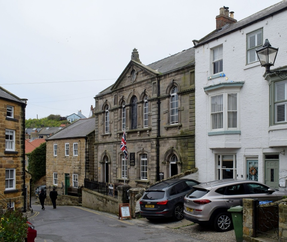
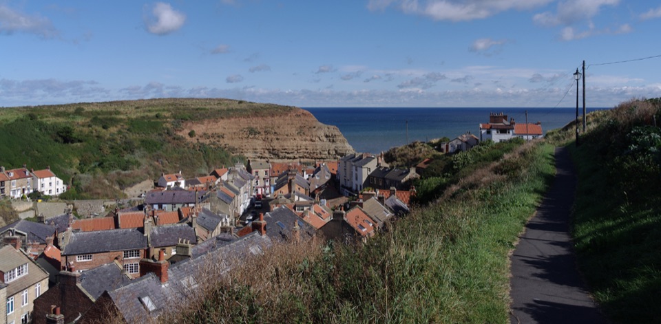
The name means landing place, and that is still the point of the village. Cottages crowd a narrow beck mouth, the harbour sits sheltered between Cowbar Nab and Penny Nab, and the old lanes twist between them. Among them is Dog Loup, a snicket just 45cm wide. In the 1800s this was a major fishing port with over 300 men and their cobles, and some mackerel, lobster and crab fishing remains today. Artists value the light here, which is why galleries sit among the cottages.
 Parkwolf’s verdictWhy stop
Map
Plan your stop

The highest, rockiest slopes around here are a summer buffet for grizzly bears.
North York Moors Tour Guide
Parkwolf is a GPS audio tour guide for North York Moors National Park. As you drive, it chimes in with what’s ahead: hidden gems, upcoming stops, history, geology, and wildlife, right through your car’s speakers.
Recorded for this place
Staithes Village and Harbour“Up ahead is Staithes, where cottages crowd around a small working harbour. Leave the car at the top of the village and walk down, allowing for the steep climb back.”
Plays as you drive up to Staithes in the Parkwolf North York Moors Tour Guide.
More stories near here in the app
“Fantastic app with many points of information… It’s great to just turn on while you’re driving and it gives you an audio tour of the national Park. We love it!!!!”


Guide
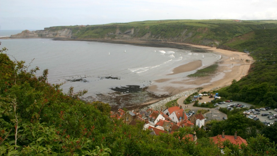
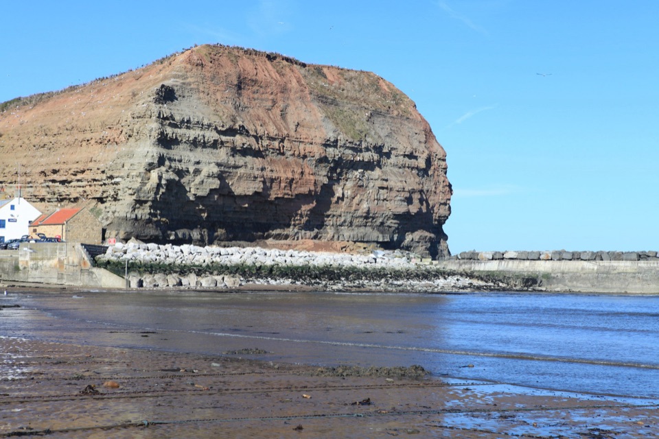
The shore exposes Lower Jurassic Staithes Sandstone and Cleveland Ironstone, with fossiliferous shales. The wave-cut platforms are tide dependent, often algae slick, and sit below unstable shale cliffs, so check the tide, keep clear of the cliff base and do not dig into faces. In late summer, herring can draw minke whales and dolphins offshore, so bring binoculars.
The steep walk back up is the main effort, lanes are narrow and uneven, and shore access depends entirely on tide and cliff conditions.
Wildlife
 15 sightingsEurasian OtterMost seen around 7 PMSighting map
 10 sightingsRed DeerMost seen around 7 AMSighting map
 79 sightingsGrey SealMost seen around noonSighting map
 26 sightingsWestern Barn OwlMost seen around 7 PMSighting map
 33 sightingsEuropean BadgerMost seen around 7 PMSighting map
 10 sightingsMute SwanMost seen around noonSighting map
Sighting maps show where each species has been reported across North York Moors. Wildlife moves, so no sighting is guaranteed.
Keep exploring
 ModerateStaithes, Cowbar, Roxby Wood and Borrowby Dale12.3 km · 4 hr · At the trailheadClifftops, harbour cottages, a wooded beck and a lost harbour
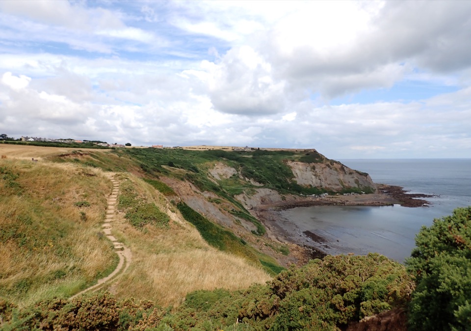 ModerateStaithes and Port Mulgrave6.4 km · 2.5 hr · 0.4 km awayHarbour lanes, cliff edges, ironstone ruins, then quiet fields home
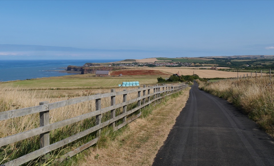 ChallengingBoulby to Whitby via the Cleveland Way21.6 km · 8 hr · 2 km awayClifftop walk from Boulby to Whitby via Staithes and Runswick Bay
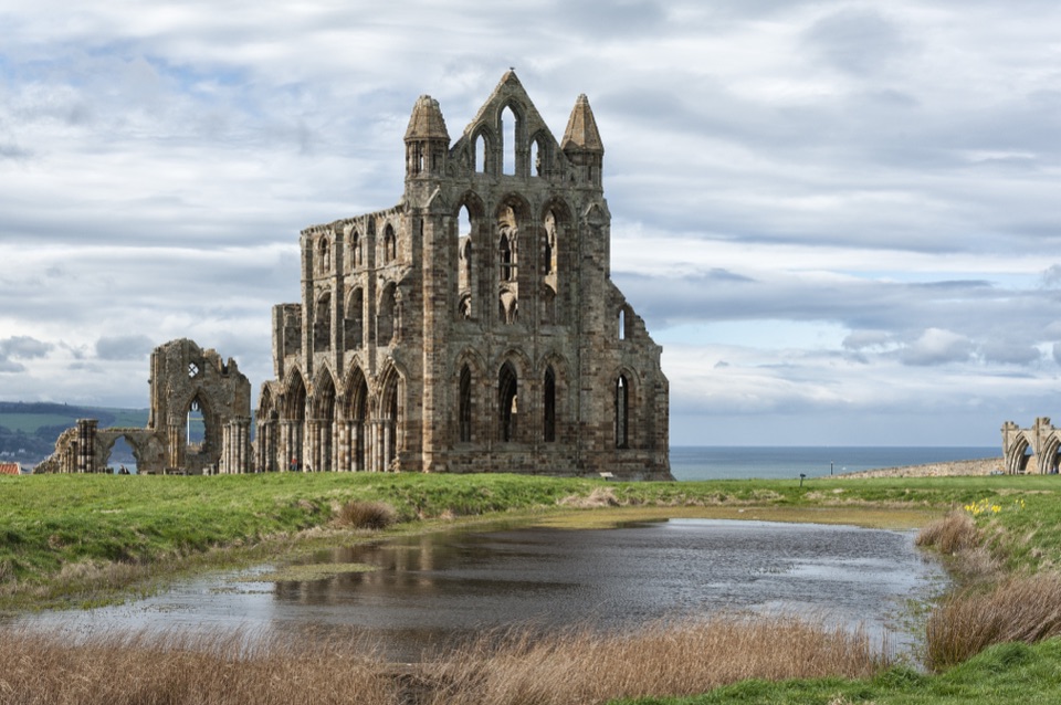 ChallengingSt Hilda's Way65.1 km · 18 hr · 2 km awayFrom a holy well to Whitby Abbey across moor and Esk Valley
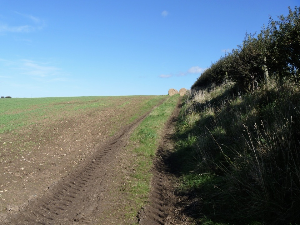 ModerateGuard House Way6.4 km · 2.3 hr · 3.7 km awayField edges, old railway and filtered sea views, Runswick Bay to Lythe
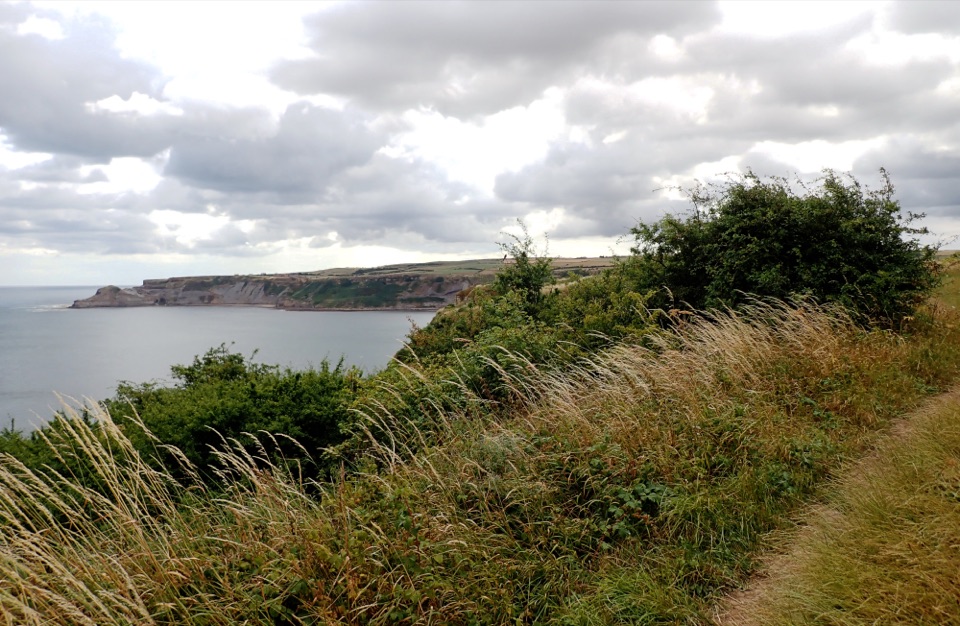 ModerateRunswick Bay and Kettleness Circular8.7 km · 3 hr · 3.8 km awayBeach sands, steep cliff steps and a quiet old railway return
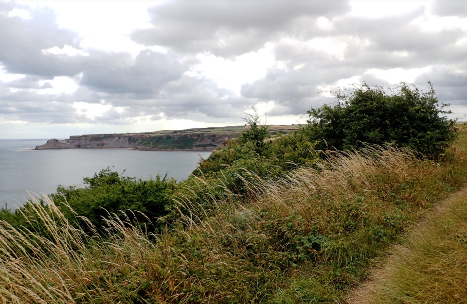 EasyMiles without Stiles (for some) Runswick Bay1.9 km · 45 min · 3.8 km awayLevel clifftop roll to wide views over Runswick Bay and Kettleness
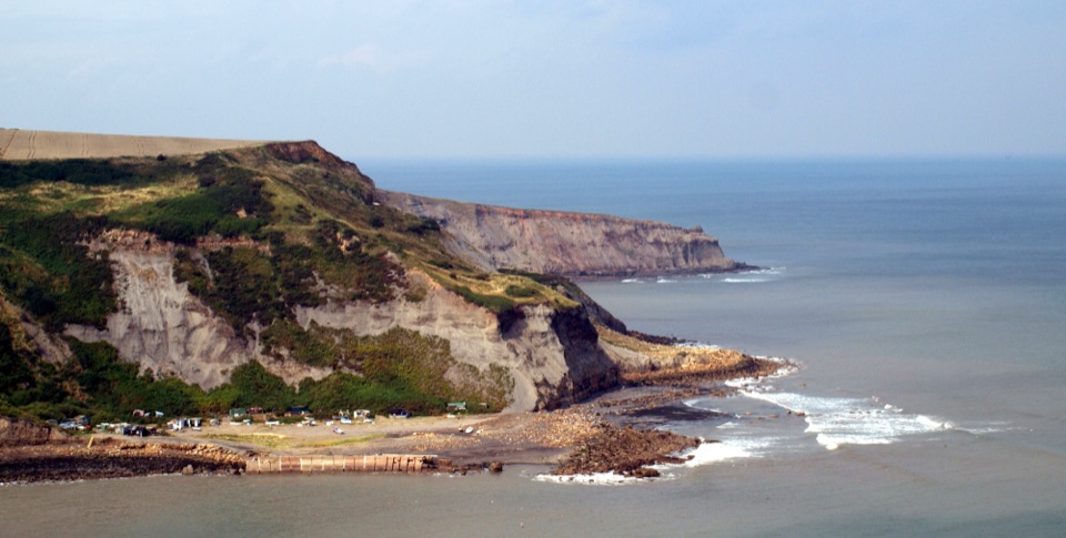 ModerateRunswick Bay to Staithes7.2 km · 3 hr · 5 km awayClifftop walk between two fishing villages, past a lost ironstone harbour
Parkwolf’s North York Moors ranking
The audio tour guide for the drive, plus offline maps, trails, and wildlife heatmaps for when the signal drops.