Parking
The walk begins at St Hilda's Well in Hinderwell and finishes at Whitby Abbey. It is a point-to-point route, so arrange accommodation, public transport or a transfer between the two ends before setting out.
North York Moors National Park, EN
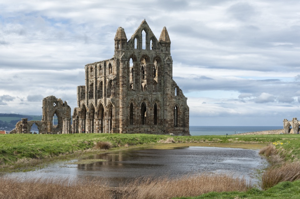
From a holy well to Whitby Abbey across moor and Esk Valley
Overview
A one-way pilgrimage walk of approximately 43 miles (about 69 km), running from St Hilda's Well in Hinderwell on the coast to the cliff-top ruins of Whitby Abbey. This is a point-to-point route rather than a circular loop, so the finish lies well away from the start and transport between the two ends needs planning. Most walkers allow about four days, though itineraries vary and some split the stages differently.
The distance figure follows the current official North York Moors listing. Other guides quote around 40 miles (about 64 km), reflecting different measuring conventions and minor variations in the linking paths, so treat any single number as approximate.
Map & elevation
Plan your hike

The highest, rockiest slopes around here are a summer buffet for grizzly bears.
North York Moors Tour Guide
Parkwolf is a GPS audio tour guide for North York Moors National Park. As you drive, it chimes in with what’s ahead: hidden gems, upcoming stops, history, geology, and wildlife, right through your car’s speakers.
Recorded for this area
Port Mulgrave's Ironstone Harbour“You're approaching Port Mulgrave, a tiny clifftop hamlet above the remains of an ironstone harbour. Built in the eighteen fifties, the port left broken walls and a sealed mine tunnel on the shore below.”
Plays on the road 0.5 km from the trailhead in the Parkwolf North York Moors Tour Guide.
More stories near here in the app
“Fantastic app with many points of information… It’s great to just turn on while you’re driving and it gives you an audio tour of the national Park. We love it!!!!”


Trail guide
From Hinderwell the way heads inland by Scaling Dam, then reaches Danby before following the Esk Valley through Lealholm, Glaisdale, Egton Bridge and Egton. It continues by Sleights and the Ruswarp and Sneaton area to Whitby, ending at Whitby Abbey above the harbour. The theme is the churches and chapels linked with St Hilda, strung between open moorland and the river valley, and the central section keeps close company with the Esk.
Terrain changes character several times: coastal edges and high heather moor at first, then farmland, woodland and softer valley paths as Whitby draws nearer. A shorter version starting at Danby is sometimes walked by those with less time.
Expect a mix of rough moorland trods, stone slabs, field paths, muddy ground, beck and stream crossings, and many gates and stiles. The route uses public rights of way throughout, but signing is not consistent along its length and some moorland sections can be faint, overgrown or hard to pick out in poor visibility.
Carry a current map and compass or a GPS track and know how to use them. Walkers comfortable with route-finding on open moor will enjoy this most; anyone relying on waymarks alone may lose the line.
Stages are usually shaped around the villages, and reported daily distances differ noticeably between itineraries, so plan your own splits around the accommodation you can secure rather than a fixed schedule. Several settlements along the Esk Valley are served by the railway, which helps with reaching the start, returning from the finish or shortening a day.
Book accommodation and any transfers well ahead, particularly in summer and at weekends, as beds in the smaller villages are limited.
Weather on the exposed moorland can change quickly, with wind, rain and low cloud arriving fast and little shelter between villages. Take windproof and waterproof layers, warm spares, food and water, and a means of navigating without a phone signal.
Strong footwear with grip suits wet stone slabs, peaty ground and rough trods. After heavy rain, becks and field paths can be considerably wetter and slower going, so allow extra time.
Dogs are welcome on the rights of way but should be kept on a short lead around livestock and wildlife, as cattle and sheep are met in fields and on the open moor. If cattle approach while you have a dog, let it off the lead and move calmly aside. Close gates behind you and take water for your dog, as reliable supplies between villages are patchy.
Villages along the way offer pubs, cafes and shops, though opening times can be seasonal and some places close in the afternoons or on quieter days. Whitby has the fullest range of food, accommodation and public transport at the finish.
Check opening arrangements for the abbey site before you arrive so the final steps of the pilgrimage land at the right time of day.
Wildlife
 15 sightingsEurasian OtterMost seen around 7 PMSighting map
 10 sightingsRed DeerMost seen around 7 AMSighting map
 79 sightingsGrey SealMost seen around noonSighting map
 26 sightingsWestern Barn OwlMost seen around 7 PMSighting map
 33 sightingsEuropean BadgerMost seen around 7 PMSighting map
 10 sightingsMute SwanMost seen around noonSighting map
Sighting maps show where each species has been reported across North York Moors. Wildlife moves, so no sighting is guaranteed.
Keep exploring
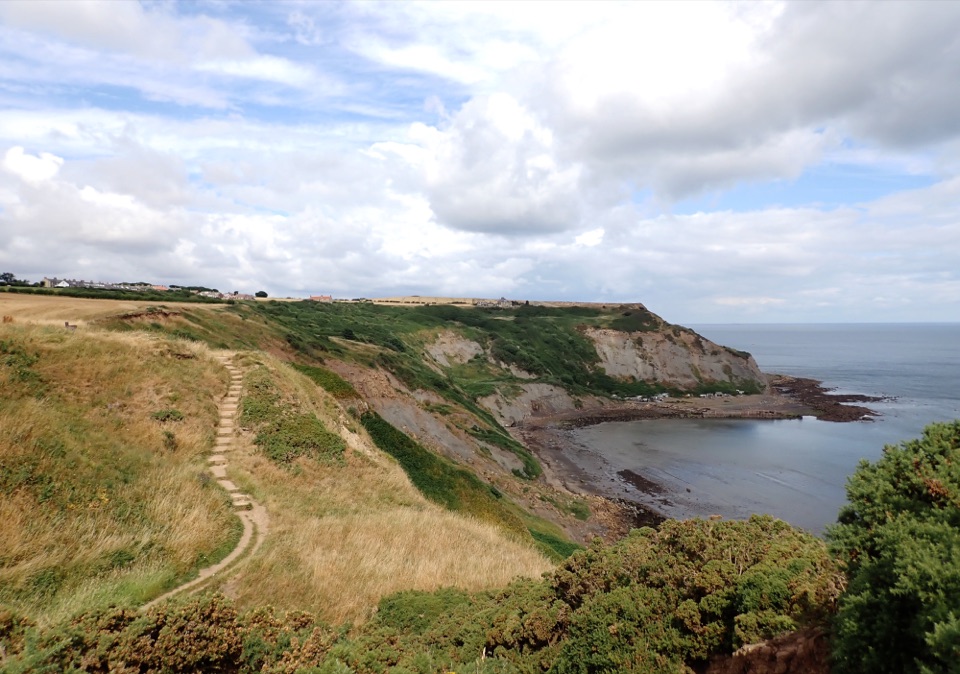 ModerateStaithes and Port Mulgrave6.4 km · 2.5 hr · 1.8 km awayHarbour lanes, cliff edges, ironstone ruins, then quiet fields home
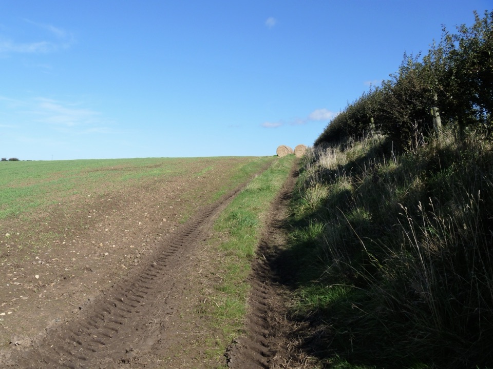 ModerateGuard House Way6.4 km · 2.3 hr · 1.8 km awayField edges, old railway and filtered sea views, Runswick Bay to Lythe
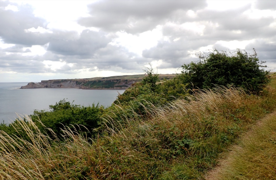 ModerateRunswick Bay and Kettleness Circular8.7 km · 3 hr · 1.9 km awayBeach sands, steep cliff steps and a quiet old railway return
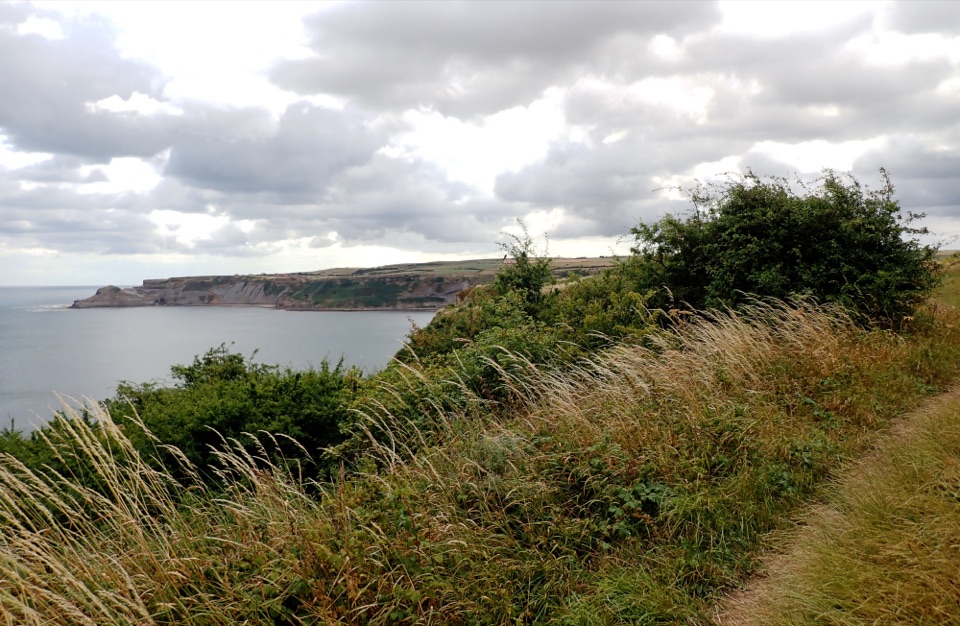 EasyMiles without Stiles (for some) Runswick Bay1.9 km · 45 min · 2 km awayLevel clifftop roll to wide views over Runswick Bay and Kettleness
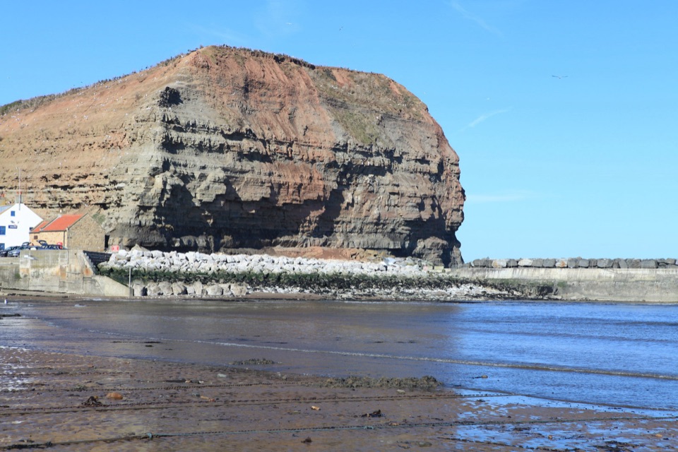 ModerateStaithes, Cowbar, Roxby Wood and Borrowby Dale12.3 km · 4 hr · 2 km awayClifftops, harbour cottages, a wooded beck and a lost harbour
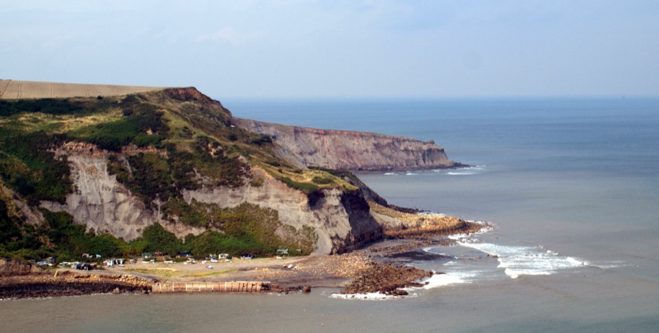 ModerateRunswick Bay to Staithes7.2 km · 3 hr · 3.1 km awayClifftop walk between two fishing villages, past a lost ironstone harbour
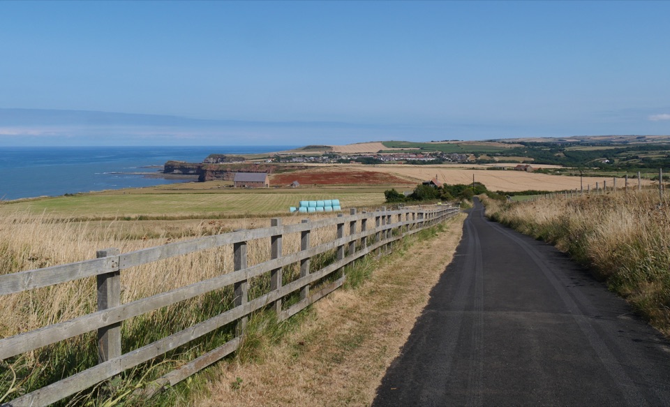 ChallengingBoulby to Whitby via the Cleveland Way21.6 km · 8 hr · 3.3 km awayClifftop walk from Boulby to Whitby via Staithes and Runswick Bay
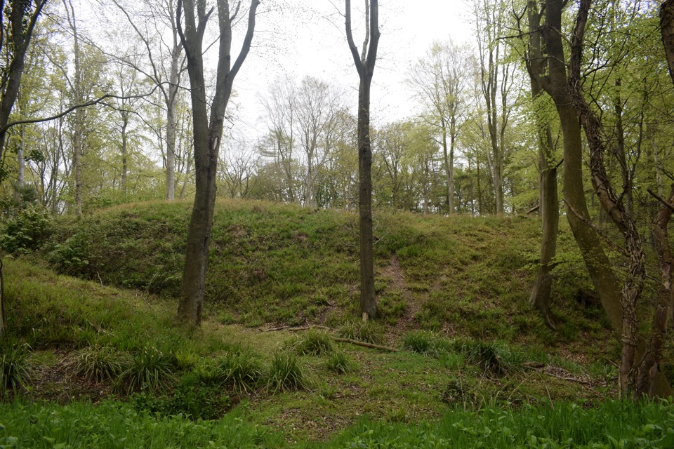 ModerateFoss Mill Crossing8 km · 2.8 hr · 8.2 km awayField paths and beck bridges to Foss Mill's ruins and Foss CastleSight · 0.5 km awayPort MulgraveRuined ironstone harbour below sea cliffs on the Cleveland Way
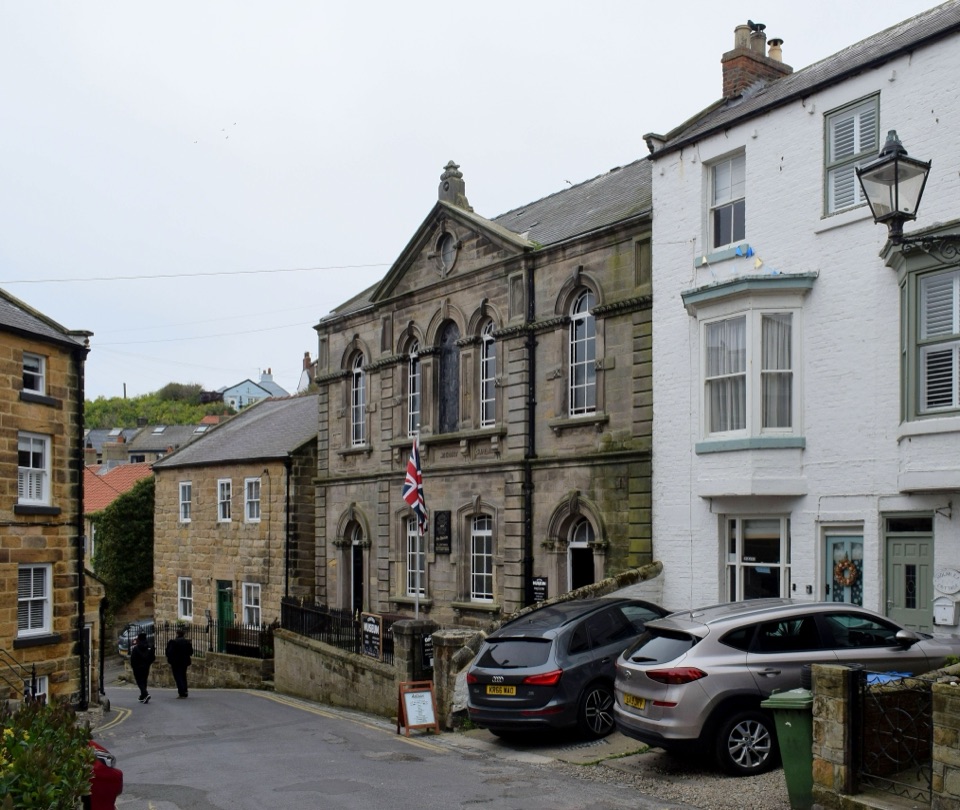 Sight · 2 km awayStaithes MuseumFour thousand village stories packed into a tiny former chapel
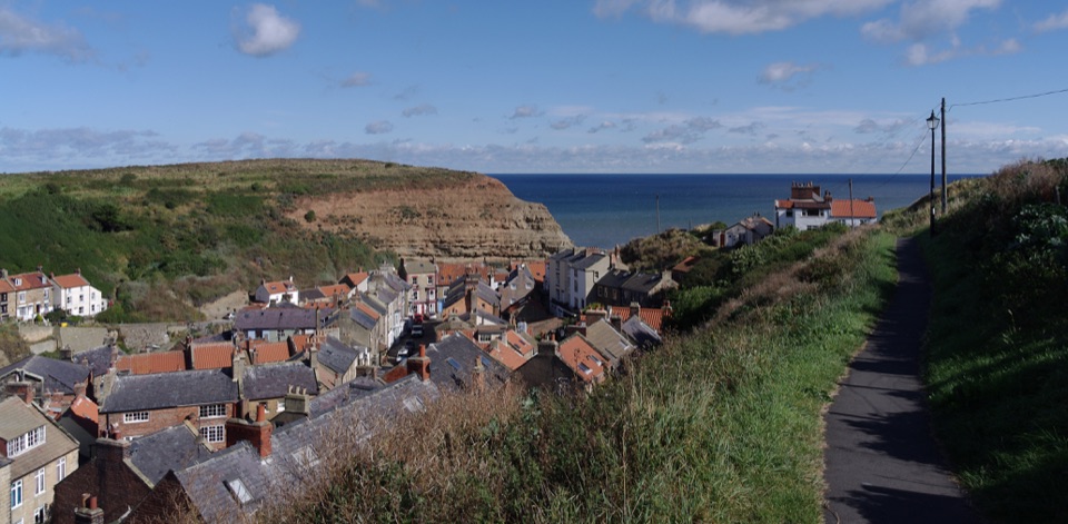 Sight · 2 km awayStaithesSteep cobbled lanes, sheltered harbour, fossil shores and painters' light
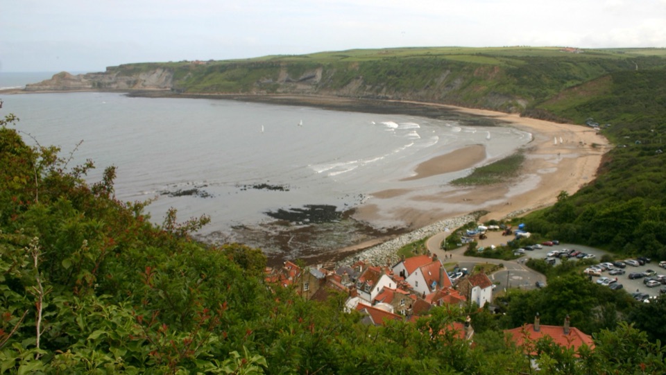 Beach · 2.5 km awayRunswick BayFossil-rich sands below a cliffside of old fishermen's cottages
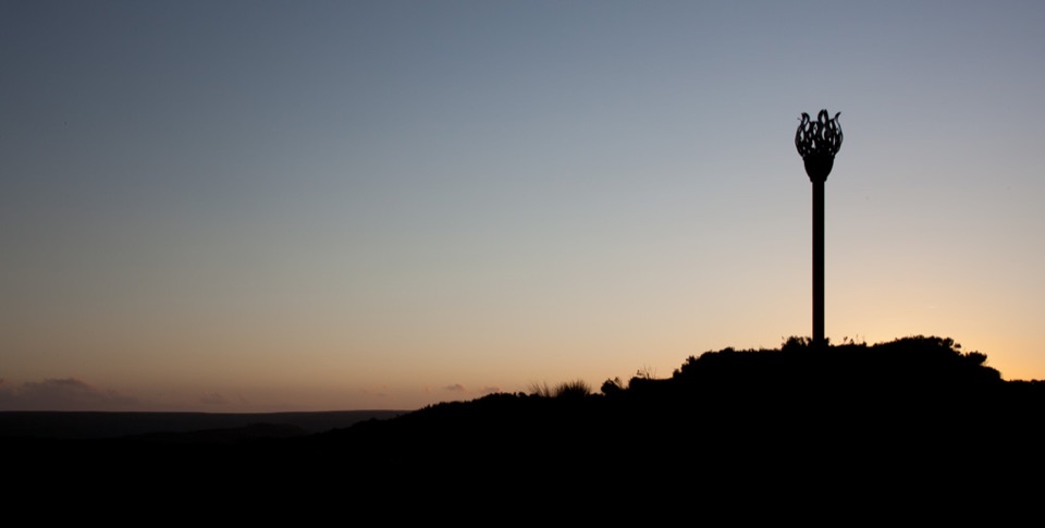 Sight · 9.5 km awayDanby BeaconFlame-shaped steel beacon on high moor, with sweeping coastal views
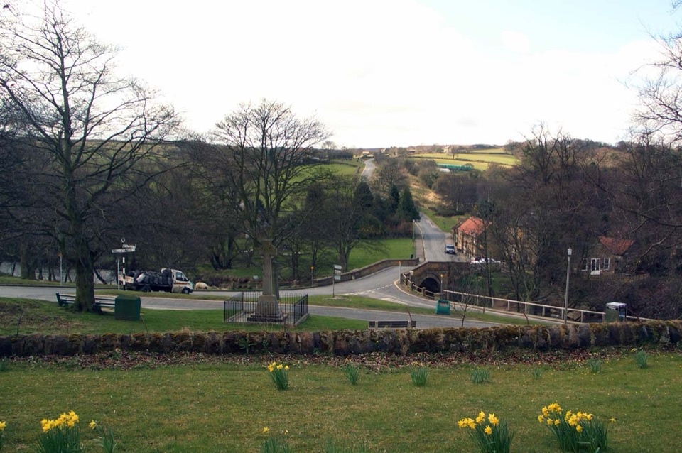 Sight · 9.8 km awayLealholmStepping stones, a 17th-century bridge and a green by the Esk
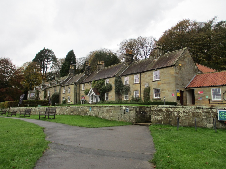 Visitor center · 11.4 km awayDanby Lodge National Park CentreDanby Lodge: riverside grounds, adventure play and ironstone heritage
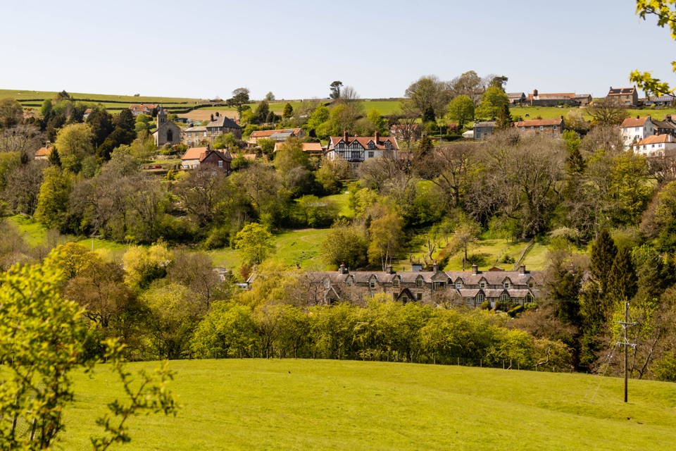 Sight · 11.5 km awayGlaisdaleStone cottages on a steep Esk Valley hillside, walks below
Parkwolf’s North York Moors ranking

The audio tour guide for the drive, plus offline maps, trails, and wildlife heatmaps for when the signal drops.





