Parking
Start at the Pay & Display upper car park at Runswick Bay. Walk back along the road to the Runswick Bay Hotel, then through its car park to the Cleveland Way.
North York Moors National Park, EN
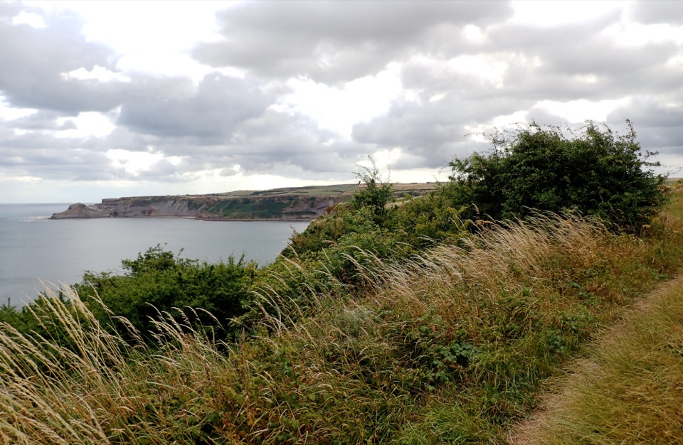
Level clifftop roll to wide views over Runswick Bay and Kettleness
Overview
Map & elevation
Plan your hike

The highest, rockiest slopes around here are a summer buffet for grizzly bears.
North York Moors Tour Guide
Parkwolf is a GPS audio tour guide for North York Moors National Park. As you drive, it chimes in with what’s ahead: hidden gems, upcoming stops, history, geology, and wildlife, right through your car’s speakers.
Recorded for this trailhead
Runswick Bay“You're nearing Runswick Bay's Bank Top, above a sandy beach backed by old fishermen's cottages. The village and shore are downhill from here, so leave some energy for the steep walk back.”
Plays as you drive up to this trailhead in the Parkwolf North York Moors Tour Guide.
More stories near here in the app
“Fantastic app with many points of information… It’s great to just turn on while you’re driving and it gives you an audio tour of the national Park. We love it!!!!”


Trail guide
An out and back on the Cleveland Way from the upper (top) car park above the bay, 1.2 miles / 2.0 km in total, with the return along the same path. It stays on the clifftop rather than dropping down into the village, so there is no steep bank to tackle in either direction. Allow around 40 minutes at a steady pace, or longer if you are stopping for the views.
From the top car park you walk a short way back along the road, turn at the Runswick Bay Hotel and cut through to pick up the Cleveland Way. The path runs out to the cliff edge, then follows field-edge clifftop out to the turnaround. The bay curves away below, with the coast running on toward Kettleness one way and Port Mulgrave the other. The views are the whole point, and they open up early rather than being saved for the end.
This is easy overall, but it sits in the "for some" category rather than being step-free for everyone. The first stretch, from by the hotel out to the cliff edge, is mostly level smooth aggregate. After that it becomes grass and earth, sometimes rough, with a few slight rises and total ascent of under 20 metres. Strong, confident wheelchair users travelling with a helper, and some off-road mobility scooters, should manage it; independent or unassisted wheelchair use is not something to count on here.
Beyond the aggregate section the grass and earth underfoot can be rough and uneven for a short distance, and the ground rises slightly in places. More importantly, part of the route follows an unfenced cliff top. There is no barrier between the path and the drop, so keep well back from the edge, take care with children, and think twice in strong wind or poor visibility.
The pond beside the route was dug as a reservoir to serve an old ironworks, a quiet reminder of how industrial this coast once was. The cliffs themselves are Jurassic-age shales long known for fossils, best appreciated where they lie rather than hunted for. Dogs are allowed on the Cleveland Way under the usual rules for public rights of way, and on the unfenced clifftop sections a lead is advisable.
Start and finish at the upper car park, which is pay and display. Refreshments are available nearby, including at the Runswick Bay Hotel you pass on the way out.
Wildlife
 15 sightingsEurasian OtterMost seen around 7 PMSighting map
 10 sightingsRed DeerMost seen around 7 AMSighting map
 79 sightingsGrey SealMost seen around noonSighting map
 26 sightingsWestern Barn OwlMost seen around 7 PMSighting map
 33 sightingsEuropean BadgerMost seen around 7 PMSighting map
 10 sightingsMute SwanMost seen around noonSighting map
Sighting maps show where each species has been reported across North York Moors. Wildlife moves, so no sighting is guaranteed.
Keep exploring
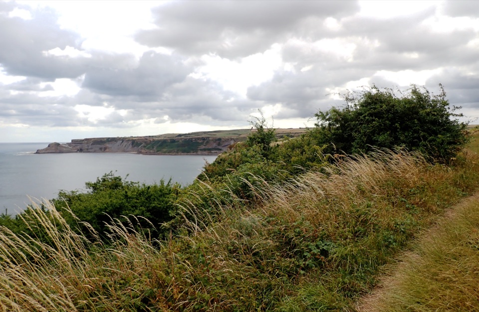 ModerateRunswick Bay and Kettleness Circular8.7 km · 3 hr · At the trailheadBeach sands, steep cliff steps and a quiet old railway return
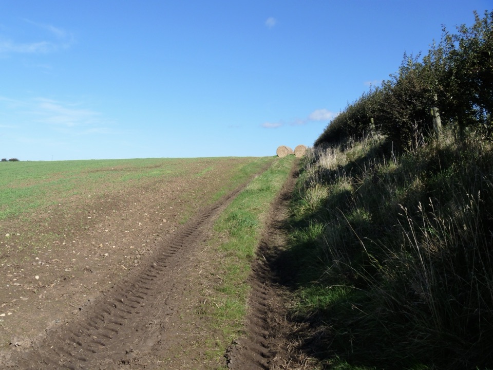 ModerateGuard House Way6.4 km · 2.3 hr · 0.2 km awayField edges, old railway and filtered sea views, Runswick Bay to Lythe
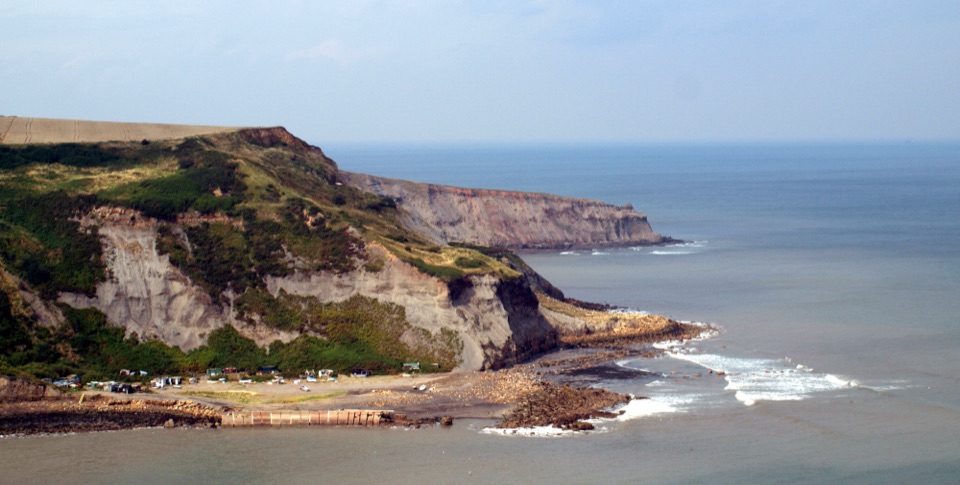 ModerateRunswick Bay to Staithes7.2 km · 3 hr · 1.1 km awayClifftop walk between two fishing villages, past a lost ironstone harbour
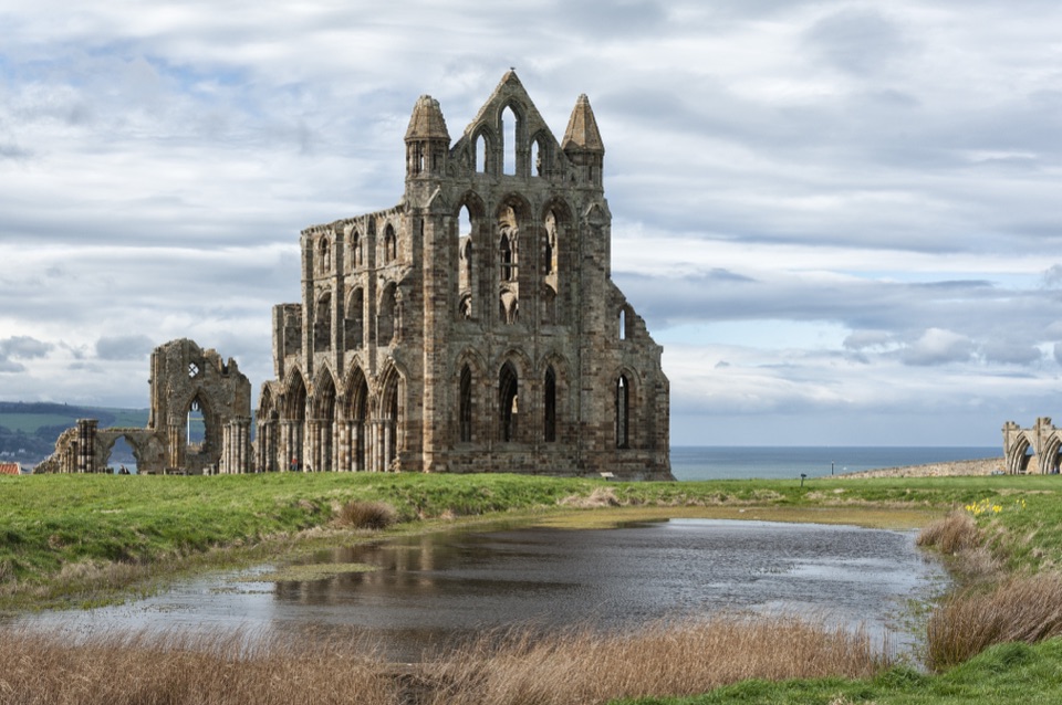 ChallengingSt Hilda's Way65.1 km · 18 hr · 2 km awayFrom a holy well to Whitby Abbey across moor and Esk Valley
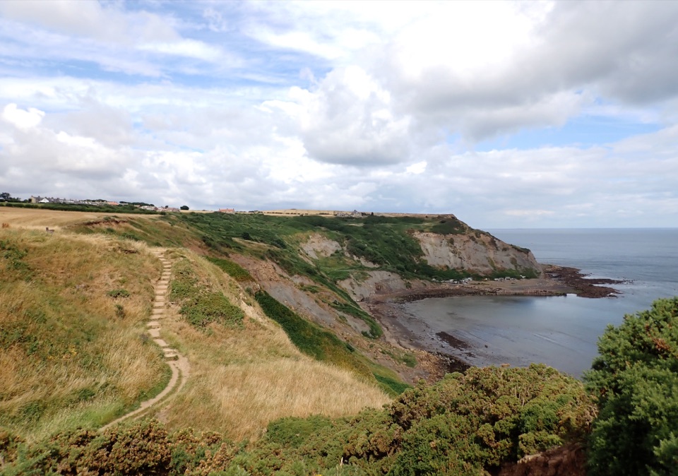 ModerateStaithes and Port Mulgrave6.4 km · 2.5 hr · 3.7 km awayHarbour lanes, cliff edges, ironstone ruins, then quiet fields home
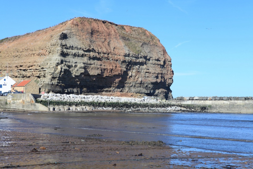 ModerateStaithes, Cowbar, Roxby Wood and Borrowby Dale12.3 km · 4 hr · 3.8 km awayClifftops, harbour cottages, a wooded beck and a lost harbour
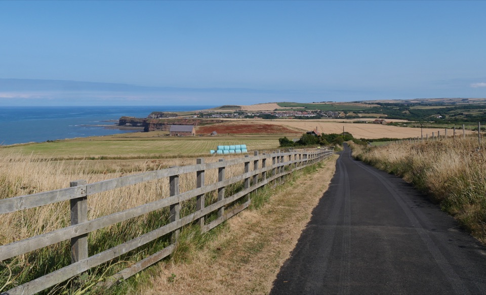 ChallengingBoulby to Whitby via the Cleveland Way21.6 km · 8 hr · 5.3 km awayClifftop walk from Boulby to Whitby via Staithes and Runswick Bay
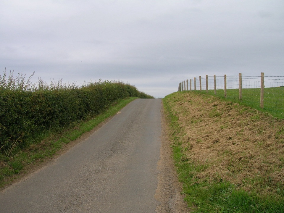 ModerateMulgrave Way14.5 km · 4 hr · 6.3 km awayNine miles one way from Sandsend's coast to Glaisdale's Esk Valley
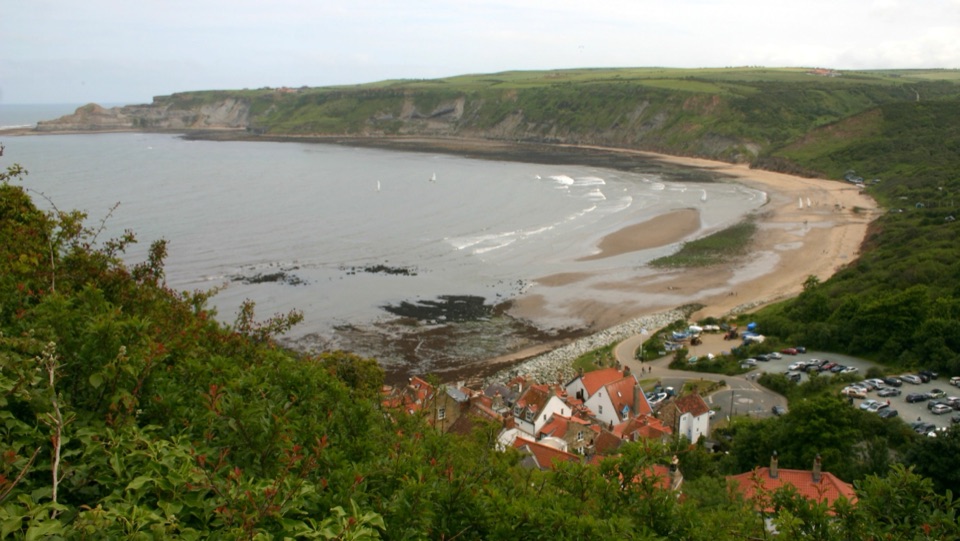 Beach · 0.6 km awayRunswick BayFossil-rich sands below a cliffside of old fishermen's cottagesSight · 1.9 km awayPort MulgraveRuined ironstone harbour below sea cliffs on the Cleveland Way
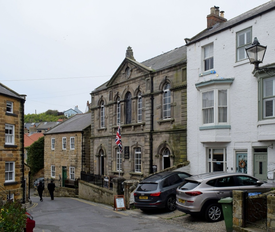 Sight · 3.8 km awayStaithes MuseumFour thousand village stories packed into a tiny former chapel
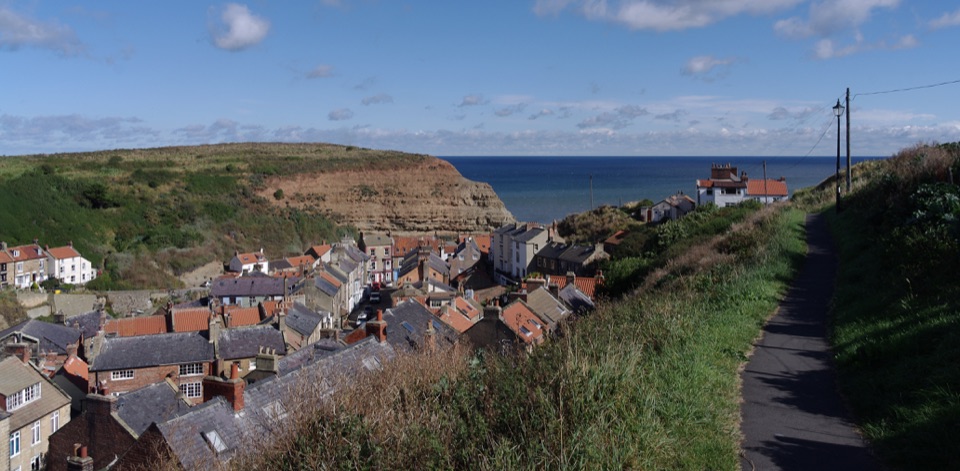 Sight · 3.8 km awayStaithesSteep cobbled lanes, sheltered harbour, fossil shores and painters' light
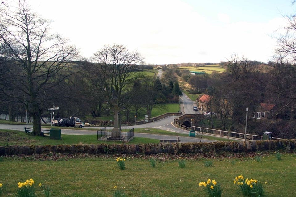 Sight · 9.6 km awayLealholmStepping stones, a 17th-century bridge and a green by the Esk
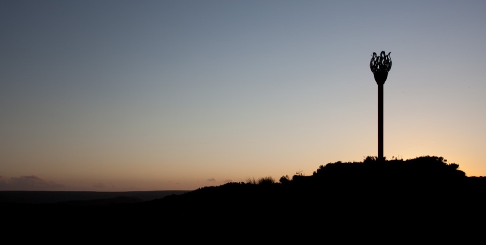 Sight · 9.9 km awayDanby BeaconFlame-shaped steel beacon on high moor, with sweeping coastal views
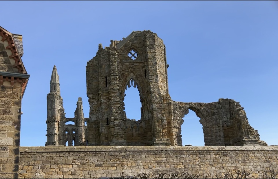 Sight · 10.6 km awayWhitby AbbeyGothic clifftop ruins above Whitby, from St Hild to Dracula
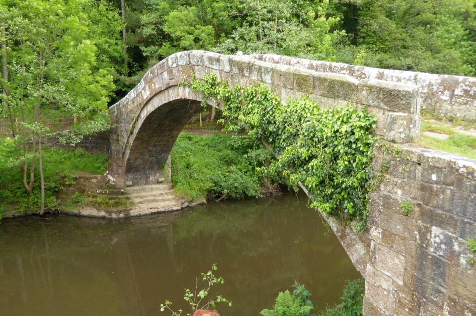 Sight · 10.9 km awayBeggar's BridgeHigh-arched 1619 packhorse bridge with a lovers' legend beside the Esk
Parkwolf’s North York Moors ranking

The audio tour guide for the drive, plus offline maps, trails, and wildlife heatmaps for when the signal drops.





