Parking
Start at Boulby Grange near OS grid NZ762187 (TS13 4UW approximate). This is a point-to-point walk, so arrange transport to the start and a return from Whitby.
North York Moors National Park, EN
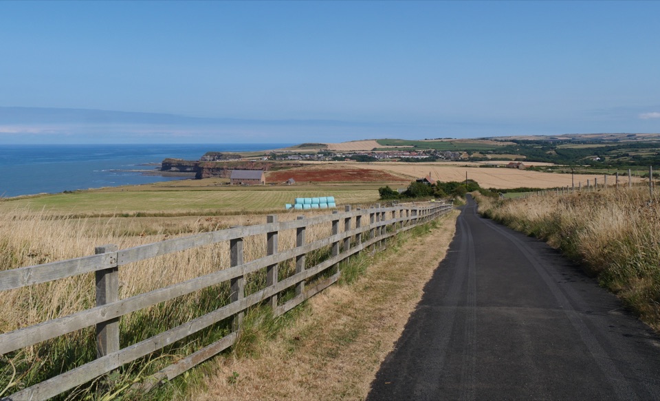
Clifftop walk from Boulby to Whitby via Staithes and Runswick Bay
Overview
Map & elevation
Plan your hike

The highest, rockiest slopes around here are a summer buffet for grizzly bears.
North York Moors Tour Guide
Parkwolf is a GPS audio tour guide for North York Moors National Park. As you drive, it chimes in with what’s ahead: hidden gems, upcoming stops, history, geology, and wildlife, right through your car’s speakers.
Recorded for this area
The Gull That Says Its Name“On a coastal walk, listen for a gull that seems to call its own name: kitti-wake. Kittiwakes nest together on narrow cliff ledges, where their calls can be easier to pick out than the birds themselves.”
Plays on the road 0.6 km from the trailhead in the Parkwolf North York Moors Tour Guide.
More stories near here in the app
“Fantastic app with many points of information… It’s great to just turn on while you’re driving and it gives you an audio tour of the national Park. We love it!!!!”


Trail guide
Point-to-point, one way, 13.4 miles (21.5 km) along the coast from Boulby Grange southeast to Whitby West Pier, with roughly 450 m of ascent. Allow about 8 hours at a steady walking pace with stops. You will see this stretch quoted a little shorter, around 12.5 miles; plan on the longer figure and you will not be caught out. There is no loop, so sort out transport back before you start.
The payoff is constant: one fishing village after another, each with a different view back along the cliffs, finishing with Whitby harbour and the abbey skyline.
Moderate to hard, mostly because of length and repeated descents into villages followed by hard climbs back out. Nothing technical, but the two big drops and re-climbs at Staithes and Runswick Bay are what tire people out.
Footing to expect:
Part of the route near Sandsend runs along or close to the shore. At low tide the sand can make for easy walking, but the tide reaches the beach and you should check tide times and local tide and route advice before setting out. Do not plan the day around beach walking as your only option.
Boulby Cliff rises to 203 m and is often cited as the highest cliff on the east coast of England, with the working potash mine just inland. Staithes and Runswick Bay are proper working fishing villages built into steep clefts in the cliff. At Kettleness you walk a stretch of old railway cut along the coast, and the finish drops you into Whitby, home of the 199 steps up to the abbey headland.
Dogs are welcome on the public rights of way that make up this route. Keep them on a lead or closely to heel, use short control near livestock, and note that a lead shorter than 2 m is required in the wider moorland areas from 1 March to 31 July to protect ground-nesting birds. There are field and cliff-top sections with grazing stock, so short leads make life easier for everyone.
If 13 miles is more than you want, walk the Sandsend to Robin Hood's Bay stretch instead at about 10 miles (16.3 km), which passes straight through Whitby and gives you the same cliff-top character with less climbing. Going the other way, the longer Saltburn to Sandsend stage runs about 17.5 miles (28 km) and takes in Boulby Cliff on a bigger day out.
Wildlife
 15 sightingsEurasian OtterMost seen around 7 PMSighting map
 10 sightingsRed DeerMost seen around 7 AMSighting map
 79 sightingsGrey SealMost seen around noonSighting map
 26 sightingsWestern Barn OwlMost seen around 7 PMSighting map
 33 sightingsEuropean BadgerMost seen around 7 PMSighting map
 10 sightingsMute SwanMost seen around noonSighting map
Sighting maps show where each species has been reported across North York Moors. Wildlife moves, so no sighting is guaranteed.
Keep exploring
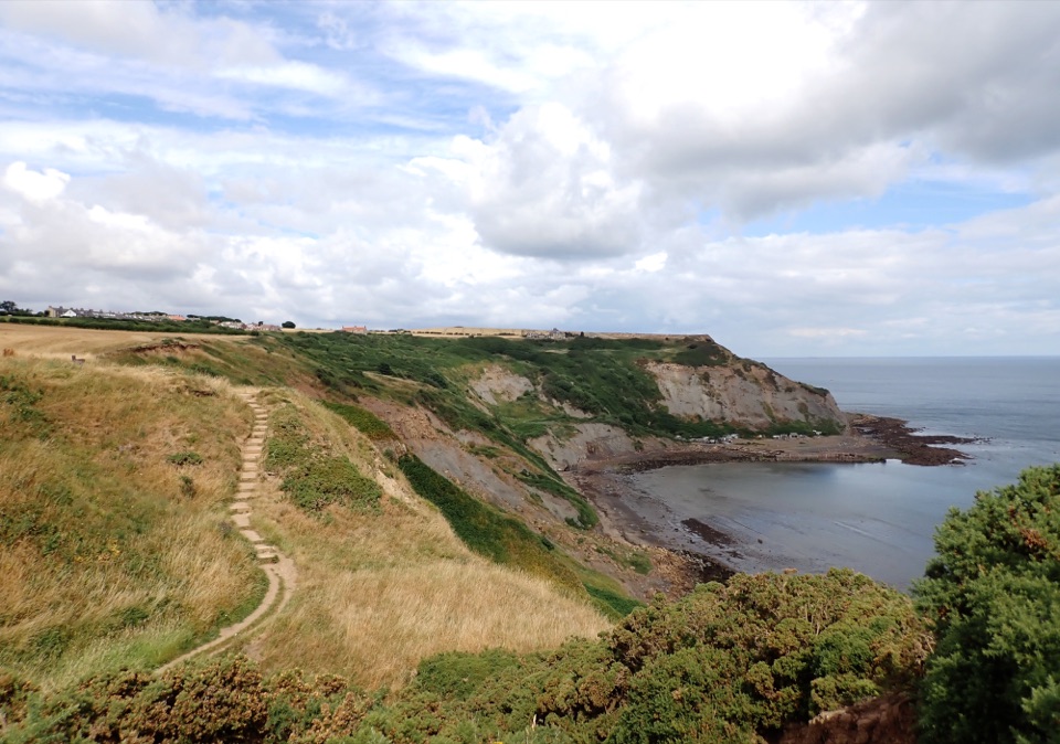 ModerateStaithes and Port Mulgrave6.4 km · 2.5 hr · 1.9 km awayHarbour lanes, cliff edges, ironstone ruins, then quiet fields home
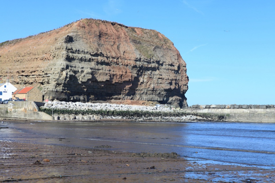 ModerateStaithes, Cowbar, Roxby Wood and Borrowby Dale12.3 km · 4 hr · 2 km awayClifftops, harbour cottages, a wooded beck and a lost harbour
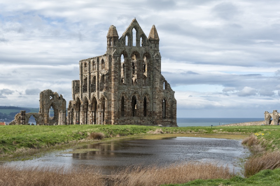 ChallengingSt Hilda's Way65.1 km · 18 hr · 3.3 km awayFrom a holy well to Whitby Abbey across moor and Esk Valley
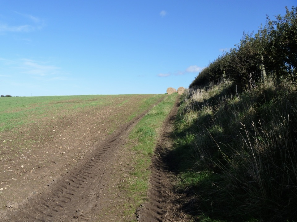 ModerateGuard House Way6.4 km · 2.3 hr · 5.1 km awayField edges, old railway and filtered sea views, Runswick Bay to Lythe
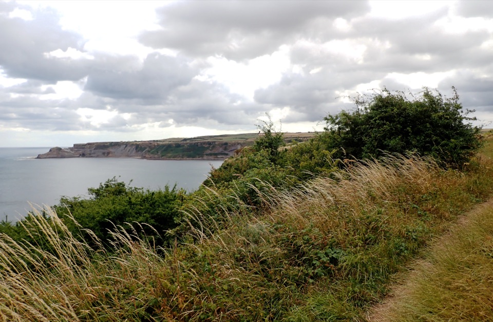 ModerateRunswick Bay and Kettleness Circular8.7 km · 3 hr · 5.3 km awayBeach sands, steep cliff steps and a quiet old railway return
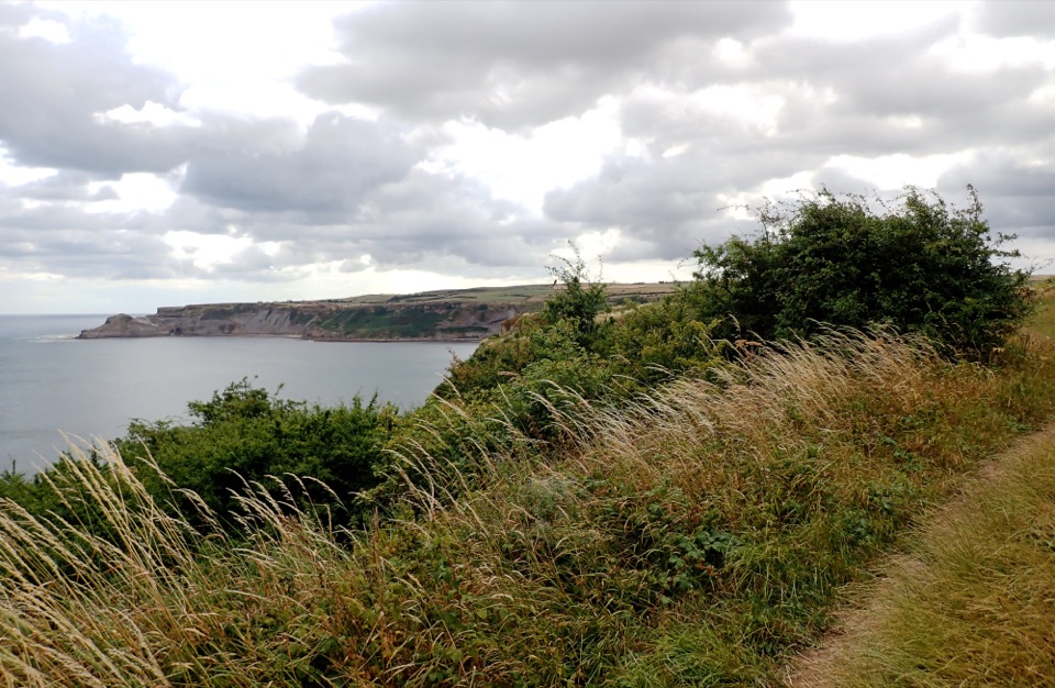 EasyMiles without Stiles (for some) Runswick Bay1.9 km · 45 min · 5.3 km awayLevel clifftop roll to wide views over Runswick Bay and Kettleness
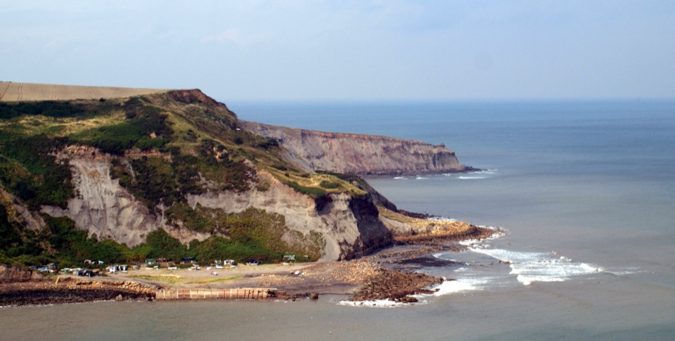 ModerateRunswick Bay to Staithes7.2 km · 3 hr · 6.4 km awayClifftop walk between two fishing villages, past a lost ironstone harbour
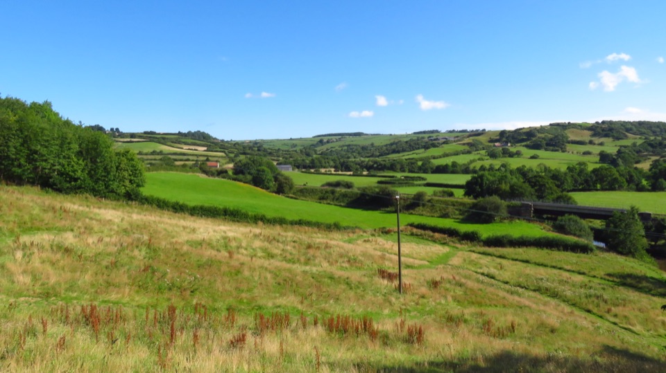 ModerateLealholm to Grosmont (Esk Valley Walk 3)9.3 km · 3 hr · 10.9 km awayRiverside miles between four Esk Valley villages, station to station
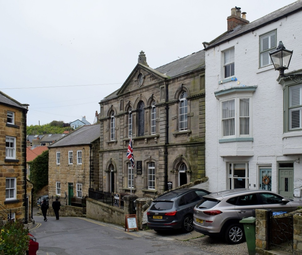 Sight · 1.9 km awayStaithes MuseumFour thousand village stories packed into a tiny former chapel
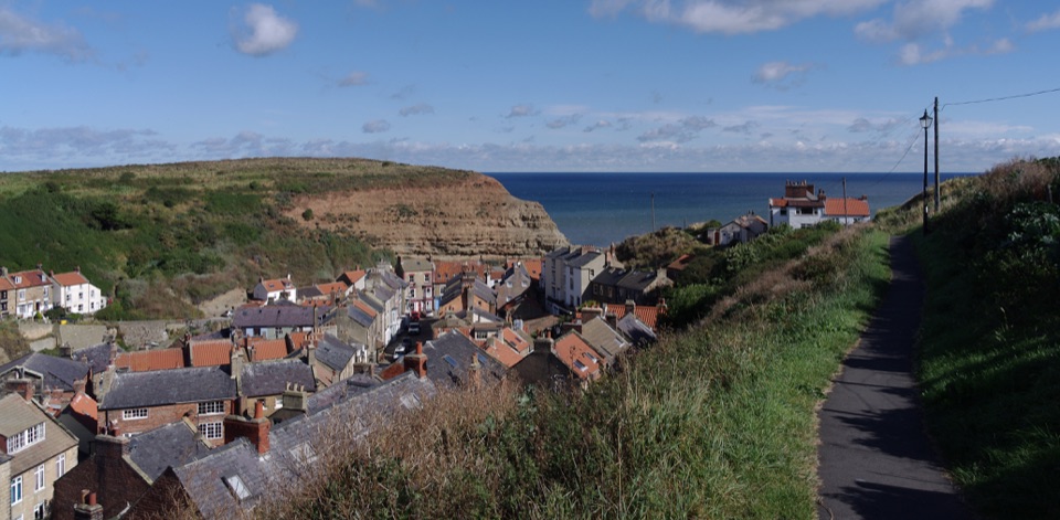 Sight · 2 km awayStaithesSteep cobbled lanes, sheltered harbour, fossil shores and painters' lightSight · 3.5 km awayPort MulgraveRuined ironstone harbour below sea cliffs on the Cleveland Way
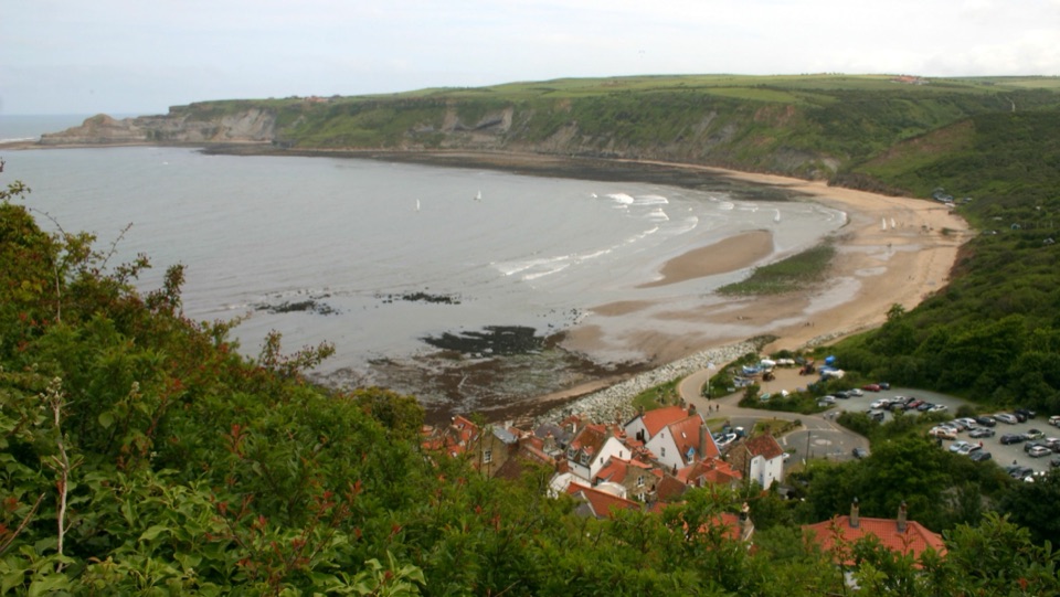 Beach · 5.8 km awayRunswick BayFossil-rich sands below a cliffside of old fishermen's cottages
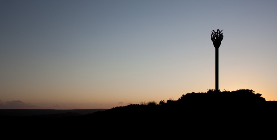 Sight · 9.8 km awayDanby BeaconFlame-shaped steel beacon on high moor, with sweeping coastal views
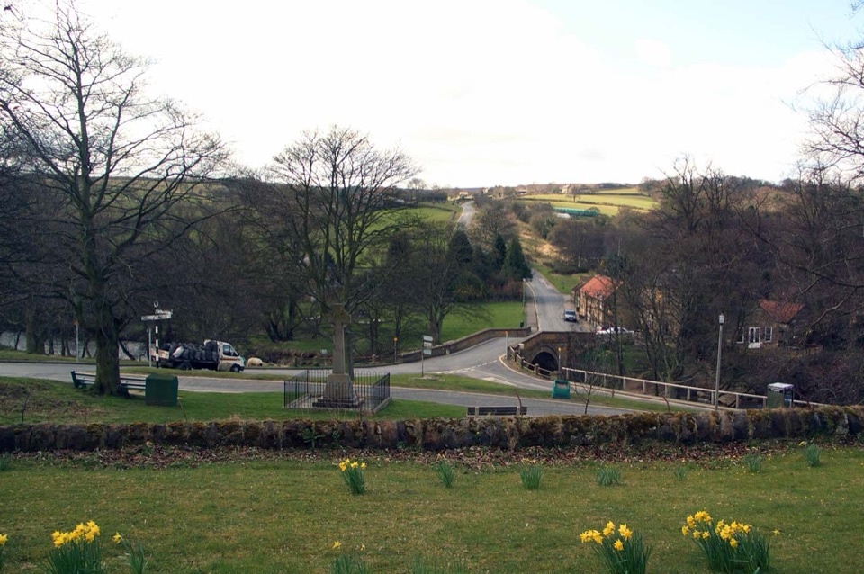 Sight · 11.1 km awayLealholmStepping stones, a 17th-century bridge and a green by the Esk
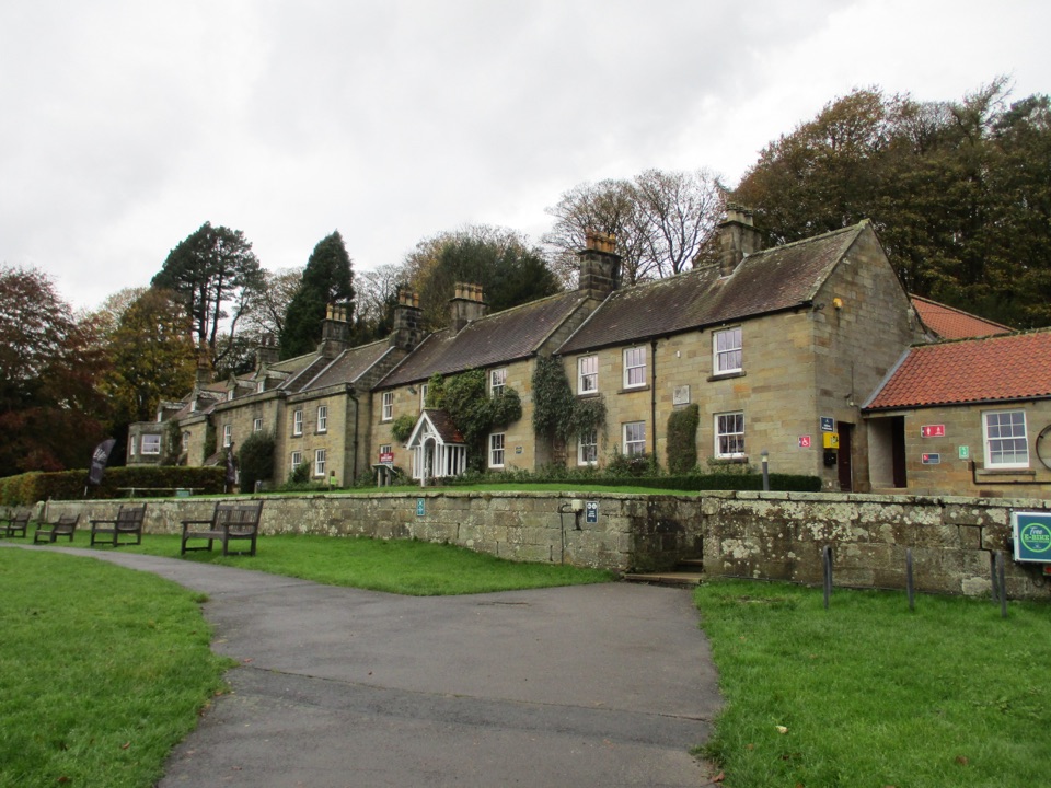 Visitor center · 11.2 km awayDanby Lodge National Park CentreDanby Lodge: riverside grounds, adventure play and ironstone heritage
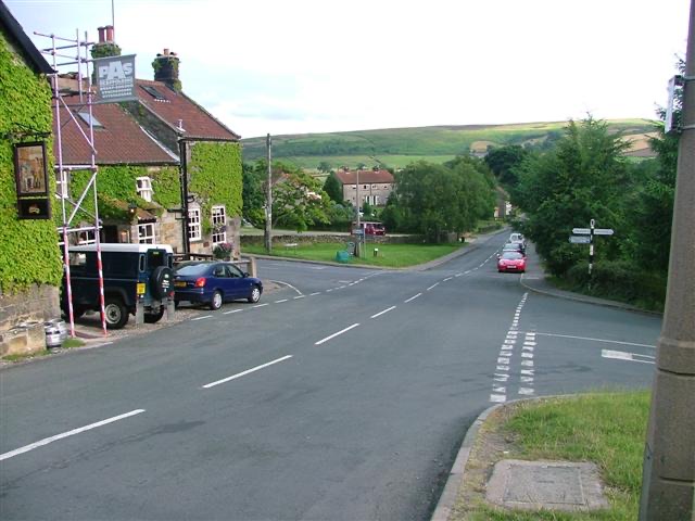 Sight · 11.4 km awayDanbyStone estate cottages where the Esk Valley meets open moorland
Parkwolf’s North York Moors ranking

The audio tour guide for the drive, plus offline maps, trails, and wildlife heatmaps for when the signal drops.





