Parking
Bank Top car park, 68 Staithes Lane, TS13 5AD. Do not drive into the old village; use the car parks at the top of the bank.
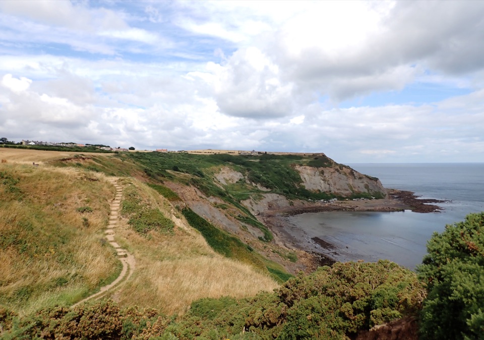
North York Moors National Park, EN
Harbour lanes, cliff edges, ironstone ruins, then quiet fields home
Overview
Map & elevation
Plan your hike

The highest, rockiest slopes around here are a summer buffet for grizzly bears.
North York Moors Tour Guide
Parkwolf is a GPS audio tour guide for North York Moors National Park. As you drive, it chimes in with what’s ahead: hidden gems, upcoming stops, history, geology, and wildlife, right through your car’s speakers.
Recorded for this trailhead
Staithes Village and Harbour“Up ahead is Staithes, where cottages crowd around a small working harbour. Leave the car at the top of the village and walk down, allowing for the steep climb back.”
Plays as you drive up to this trailhead in the Parkwolf North York Moors Tour Guide.
More stories near here in the app
“Fantastic app with many points of information… It’s great to just turn on while you’re driving and it gives you an audio tour of the national Park. We love it!!!!”


Trail guide
A 4 mile (6.4 km) complete circular loop from Bank Top above Staithes, taking around 2 hours 30 minutes at a steady pace. Graded moderate: roughly 118 m of climbing, uneven clifftop and woodland sections, gates, steps and at least two stiles. This is not the longer Staithes to Runswick Bay walk, and not a flat coastal promenade.
You drop from the car park down the bank into the old village, with its tight lanes and working harbour, then climb steeply out to the cliff top. From there the route runs east along the Cleveland Way to Port Mulgrave, before turning inland across fields and through woodland via Dalehouse and returning up Staithes Lane to the start.
The payoff is the contrast: the tightly packed stone village and harbour, then open sea and clifftop views, then the remains of Port Mulgrave's nineteenth century ironstone harbour with its scatter of fishermen's huts. Staithes itself carries a long fishing and coble tradition, still visible in the shape of the village. The inland half is quieter and greener, a deliberate wind down rather than a highlight.
The seaward cliff edge is unfenced with a steep drop, so keep well back along the Cleveland Way section. The route also includes two crossings of the busy A174, which need patience. Livestock may be present in some of the fields on the inland return.
Dogs are welcome. Keep them on a short lead near the cliff edge and anywhere livestock are present.
Start from Bank Top car park, 68 Staithes Lane, TS13 5AD. Do not drive down into the old village; there are car parks at the top of the bank and the route begins from the upper car park area. Toilets are available at the start and finish area. Refreshments can be found in Staithes and at Dalehouse, and there is a clifftop option at Port Mulgrave which keeps its own stated opening pattern, so treat it as a bonus rather than a plan.
The strongest subjects are the harbour and packed rooftops of Staithes seen from the bank and the cliff top, the open sea views along the Cleveland Way, and the old harbour remains and huts at Port Mulgrave. Allow extra time beyond the 2 hour 30 minute estimate if you intend to stop and shoot.
Wildlife
 15 sightingsEurasian OtterMost seen around 7 PMSighting map
 10 sightingsRed DeerMost seen around 7 AMSighting map
 79 sightingsGrey SealMost seen around noonSighting map
 26 sightingsWestern Barn OwlMost seen around 7 PMSighting map
 33 sightingsEuropean BadgerMost seen around 7 PMSighting map
 10 sightingsMute SwanMost seen around noonSighting map
Sighting maps show where each species has been reported across North York Moors. Wildlife moves, so no sighting is guaranteed.
Keep exploring
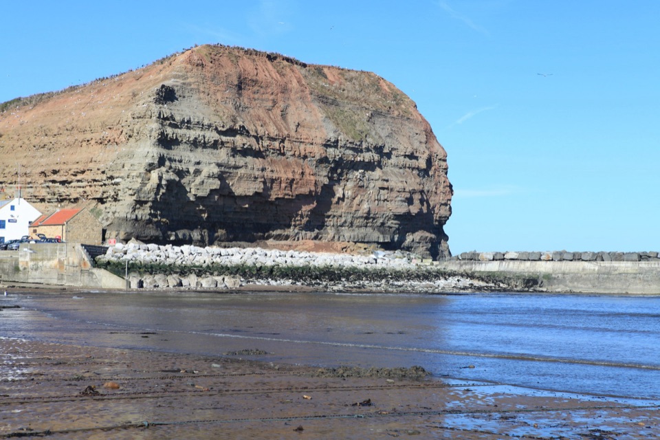 ModerateStaithes, Cowbar, Roxby Wood and Borrowby Dale12.3 km · 4 hr · 0.4 km awayClifftops, harbour cottages, a wooded beck and a lost harbour
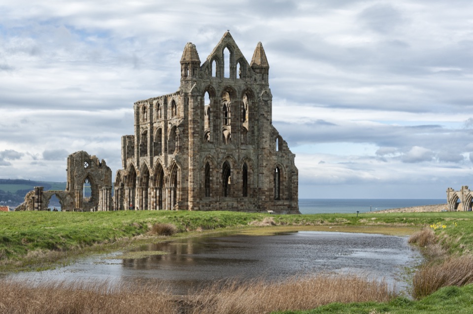 ChallengingSt Hilda's Way65.1 km · 18 hr · 1.8 km awayFrom a holy well to Whitby Abbey across moor and Esk Valley
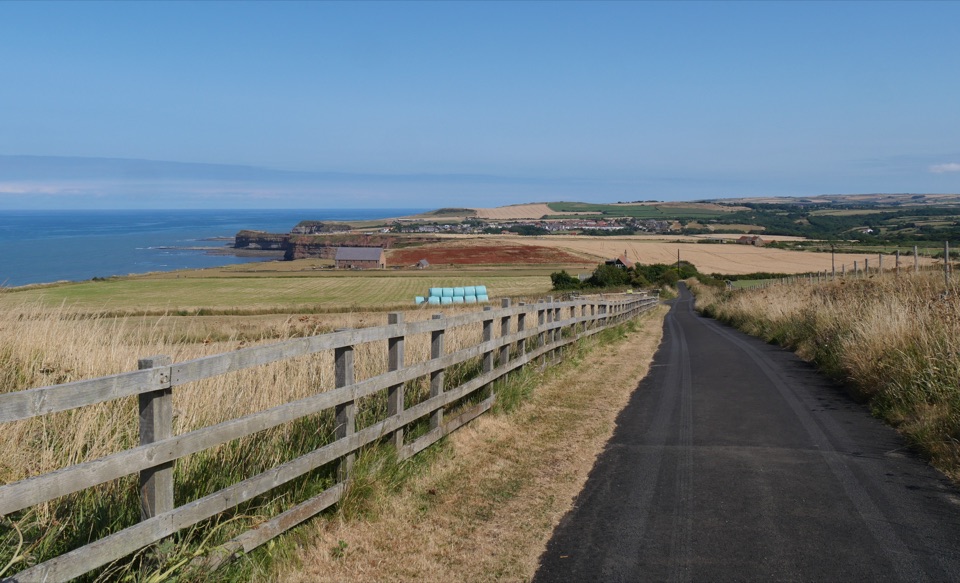 ChallengingBoulby to Whitby via the Cleveland Way21.6 km · 8 hr · 1.9 km awayClifftop walk from Boulby to Whitby via Staithes and Runswick Bay
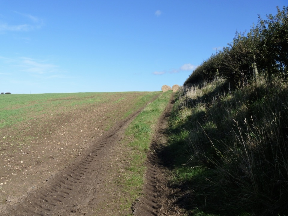 ModerateGuard House Way6.4 km · 2.3 hr · 3.5 km awayField edges, old railway and filtered sea views, Runswick Bay to Lythe
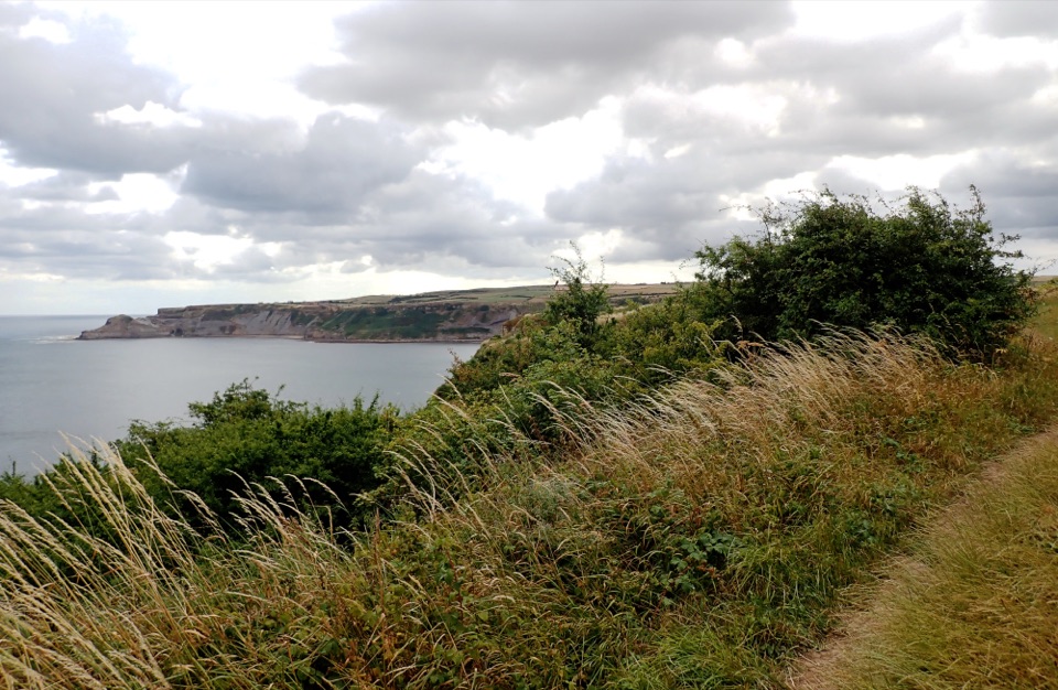 ModerateRunswick Bay and Kettleness Circular8.7 km · 3 hr · 3.6 km awayBeach sands, steep cliff steps and a quiet old railway return
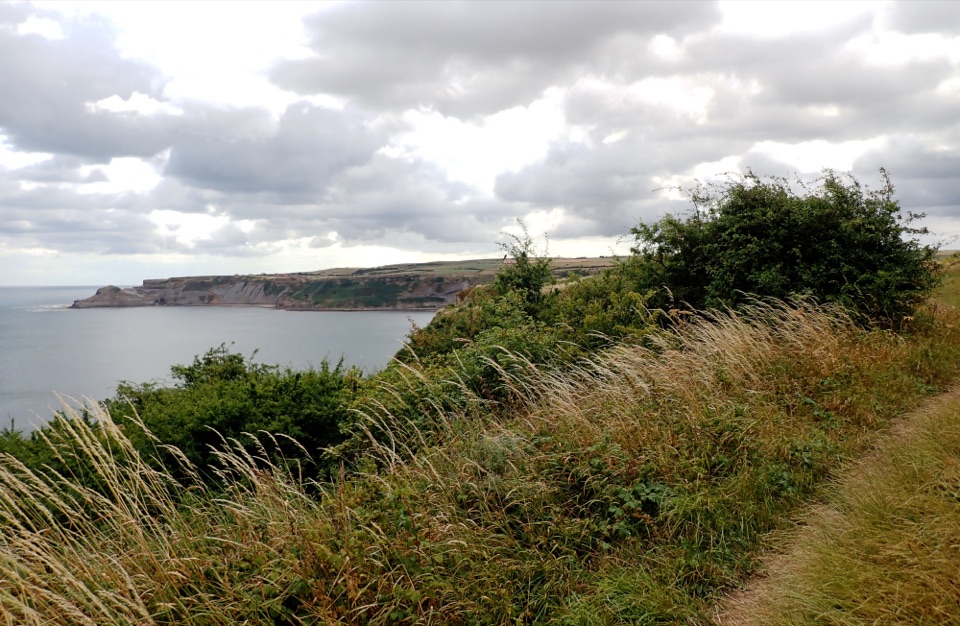 EasyMiles without Stiles (for some) Runswick Bay1.9 km · 45 min · 3.7 km awayLevel clifftop roll to wide views over Runswick Bay and Kettleness
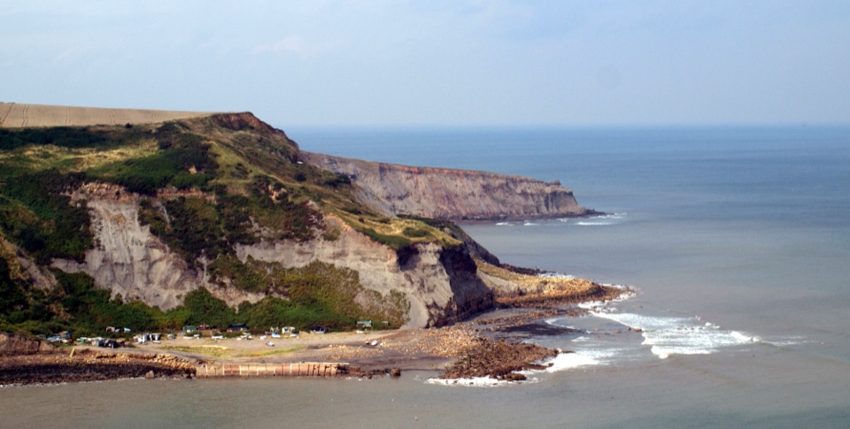 ModerateRunswick Bay to Staithes7.2 km · 3 hr · 4.8 km awayClifftop walk between two fishing villages, past a lost ironstone harbour
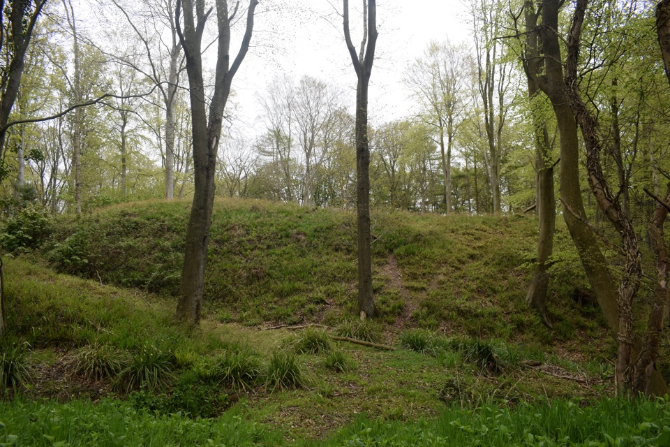 ModerateFoss Mill Crossing8 km · 2.8 hr · 10 km awayField paths and beck bridges to Foss Mill's ruins and Foss Castle
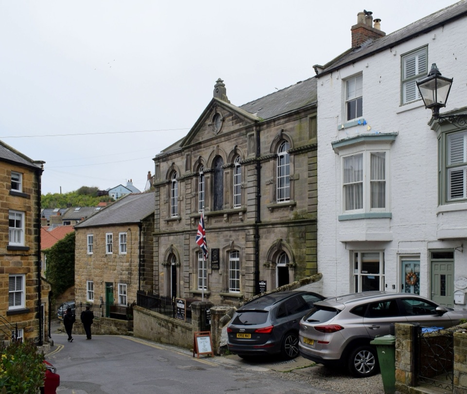 Sight · 0.3 km awayStaithes MuseumFour thousand village stories packed into a tiny former chapel
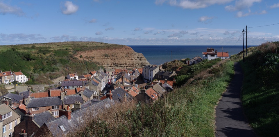 Sight · 0.4 km awayStaithesSteep cobbled lanes, sheltered harbour, fossil shores and painters' lightSight · 1.8 km awayPort MulgraveRuined ironstone harbour below sea cliffs on the Cleveland Way
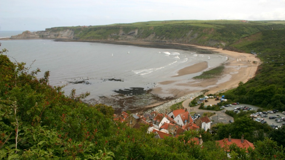 Beach · 4.2 km awayRunswick BayFossil-rich sands below a cliffside of old fishermen's cottages
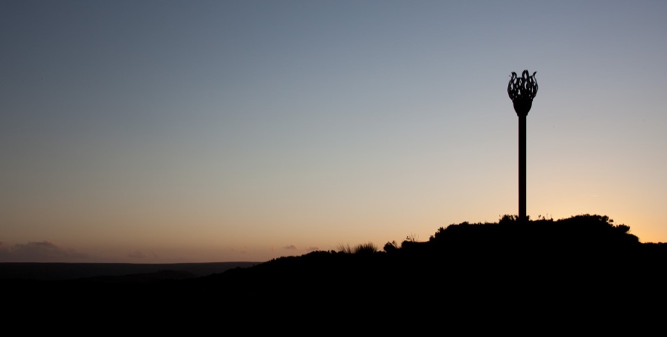 Sight · 10.3 km awayDanby BeaconFlame-shaped steel beacon on high moor, with sweeping coastal views
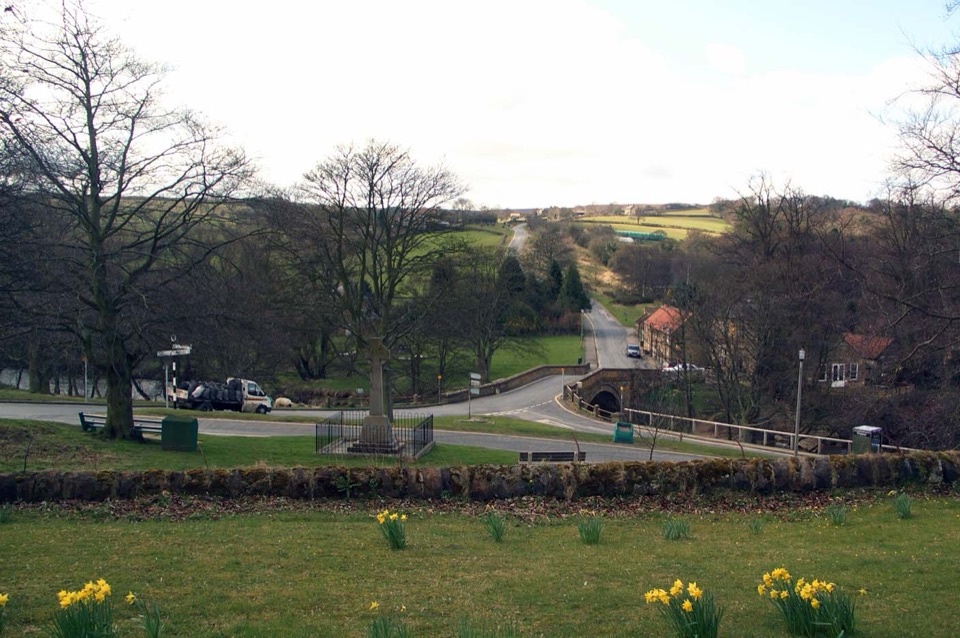 Sight · 11 km awayLealholmStepping stones, a 17th-century bridge and a green by the Esk
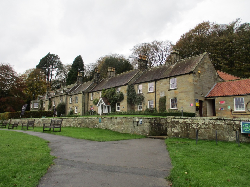 Visitor center · 12 km awayDanby Lodge National Park CentreDanby Lodge: riverside grounds, adventure play and ironstone heritage
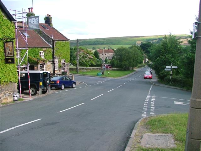 Sight · 12.2 km awayDanbyStone estate cottages where the Esk Valley meets open moorland
Parkwolf’s North York Moors ranking

The audio tour guide for the drive, plus offline maps, trails, and wildlife heatmaps for when the signal drops.





