Runswick Bay and Kettleness Circular in North York Moors National Park

North York Moors National Park, EN

Runswick Bay and Kettleness Circular

Beach sands, steep cliff steps and a quiet old railway return

Photo: Wikimedia Commons
Length
8.7km
Time
3hr
Elev. change
109m
Difficulty
Moderate
  • Loop
  • Dogs allowed
  • High point 109 m
  • #47 of 126 in North York Moors

Hear the audio tour

Runswick Bay

Overview

About Runswick Bay and Kettleness Circular

Why go

  • Beach, clifftop and railway heritage in one compact circuit
  • Big coastal views with a quieter inland return

Heads up

  • The beach section is tide-dependent
  • Long stepped climb from Hob Holes

Map & elevation

The route

Loading the North York Moors map
Full map
Elevation0–109 m
TrailheadRunswick Bank Top upper car park54.53407, -0.75259
Keep this map with you offline in the Parkwolf app

Plan your hike

Before you go

Parking

Use the upper pay-and-display car park at Runswick Bank Top, opposite the Cliffemount Hotel, reached from the A174 on the signed Runswick turn. Walk down through the village to the beach. A smaller car park lies near the beach but is more constrained.

Best time to go

The reward is contrast: the wide sandy bay and the close-set former fishermen's cottages below you, then the elevated Cleveland Way views back across the water, the Kettleness headland, and the quieter, more enclosed feel of the railway return. Early or late light works best on the bay and the cliff faces. Low tide adds rockpools and more beach interest, though the tide window matters more than the light.

Safety

Do not start unless the tide leaves a comfortable window for the beach section. The cliffs are crumbly and not a safe escape if cut off; Hob Holes has rockfall risk, the coastal edge is unfenced, and the stepped climb can be slippery.

8 active North York Moors alerts

  • ClosureHawnby Bridleway 110 closurePublic Bridleway 25.122/110/1 in Hawnby is closed to pedestrians, cyclists and equestrians because its bridge is unsafe. - The closure is between grid references SE 5309 9073 and SE 5335 9097.Official details
  • ClosureWest Ayton Footpath 1 closurePublic Footpath 1 in West Ayton (Forge Valley) is temporarily closed because its boardwalk is unsafe. - The closure is between SE 9860 8494 and SE 9839 8712.Official details
See all 8 alerts
A park ranger sits on a dash-mounted phone, talking, as Parkwolf’s Tour Guide plays “Army Cutworm Moths: A Grizzly Bear Buffet” on Grand Loop Road below Dunraven Pass in Yellowstone
Parkwolf Tour GuideThe highest, rockiest slopes around here are a summer buffet for grizzly bears.

North York Moors Tour Guide

Your drive to Runswick Bay and Kettleness Circular, narrated.

Parkwolf is a GPS audio tour guide for North York Moors National Park. As you drive, it chimes in with what’s ahead: hidden gems, upcoming stops, history, geology, and wildlife, right through your car’s speakers.

Recorded for this trailhead

Runswick Bay
0:00 / 0:31
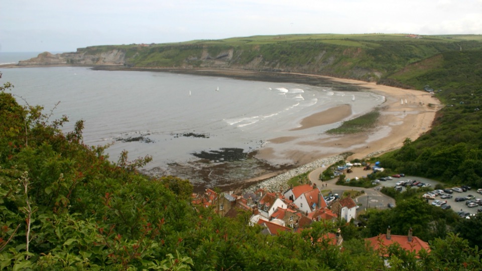
“You're nearing Runswick Bay's Bank Top, above a sandy beach backed by old fishermen's cottages. The village and shore are downhill from here, so leave some energy for the steep walk back.”

Plays as you drive up to this trailhead in the Parkwolf North York Moors Tour Guide.

More stories near here in the app

  • Port Mulgrave's Ironstone Harbour
  • When Kettleness Moved Uphill
  • The Small Fin at Sea
  • Cook Before the Sea
  • 298 audio storiesacross North York Moors’s roads, triggered by GPS as you drive
  • Wildlife heatmapsfor Eurasian Otter, Red Deer, Grey Seal, and 13 more
  • Works offlinemaps, 126 trails, 65 places, and audio download before you lose signal
  • CarPlay readysimple controls built for the drive
★★★★★
“Fantastic app with many points of information… It’s great to just turn on while you’re driving and it gives you an audio tour of the national Park. We love it!!!!”
JMJamesApp Store review
Download Parkwolf on the App StoreGet Parkwolf on Google Play

4.7 from 8,600+ ratings

Trail guide

Hiking Runswick Bay and Kettleness Circular

The shape of the walkThis is a circular loop of 5.4 miles / 8.

This is a circular loop of 5.4 miles / 8.64 km in total, not one way, starting and finishing at the upper pay-and-display car park at Runswick Bank Top, opposite the Cliffemount Hotel. It links three very different kinds of walking: sand, clifftop path, and a dismantled railway corridor.

SequenceDrop down through the narrow paths and lanes of the village to Runswick Sands.
  • Drop down through the narrow paths and lanes of the village to Runswick Sands.
  • Follow the beach toward Whitby as far as the cleft at Hob Holes.
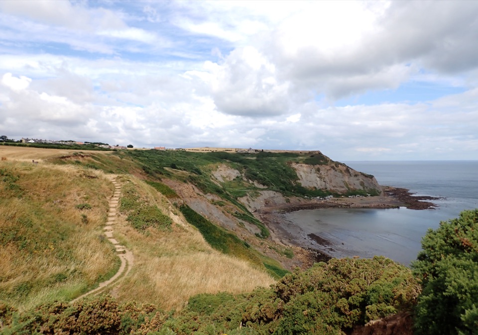
  • Cross the stream on the stepped bridge and climb the long stairway to the cliff top.
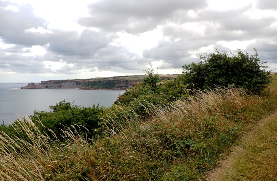
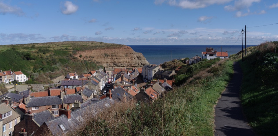
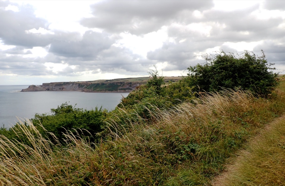
  • Follow the Cleveland Way along the clifftops, with views back over the bay, to the hamlet of Kettleness and the site of its former station.
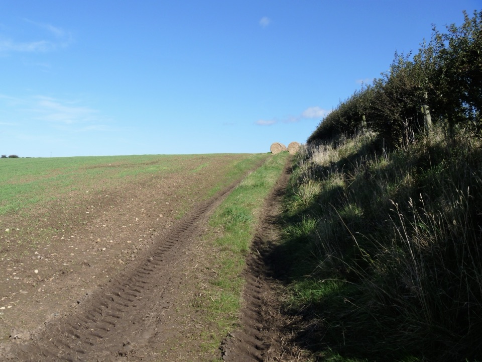
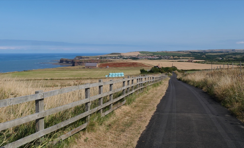
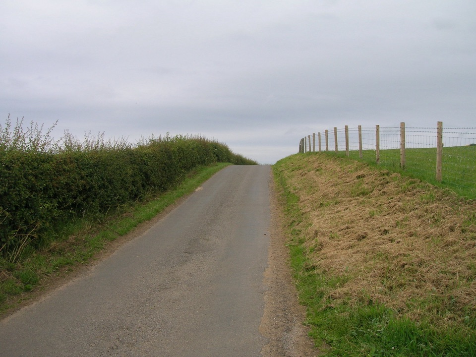
  • Return inland on the old railway trackbed and local access paths to the upper car park.
Effort and footingModerate, about 5 out of 10, with roughly 252 m / 826 ft of ascent.

Moderate, about 5 out of 10, with roughly 252 m / 826 ft of ascent. Most of that comes in one push: the many steps from beach level at Hob Holes up to the cliff top. Underfoot you get soft sand, grassy and earth coastal path, steps, village lanes and the firmer surface of the former railway. Wet weather makes the ravine and the earth sections slippery, so pick footwear with grip.

Tides and exposurePlan this one around the tide.

Plan this one around the tide. The beach section is essential to the loop, and the crumbly cliffs below the coastal path are not a safe way out if you get cut off, so only set off with a comfortable window of falling or low water. Hob Holes carries rockfall risk and is best appreciated from a distance. On the clifftop stretch the edge is unfenced in places, so keep well back, especially with children. The turn onto the old railway near Kettleness is easy to miss, so watch for it.

History and geologyThe coast here was worked hard.

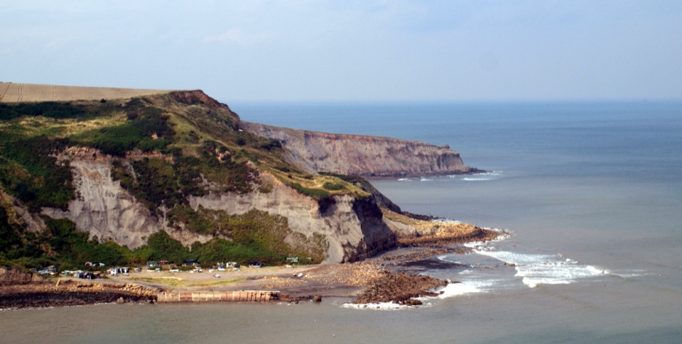
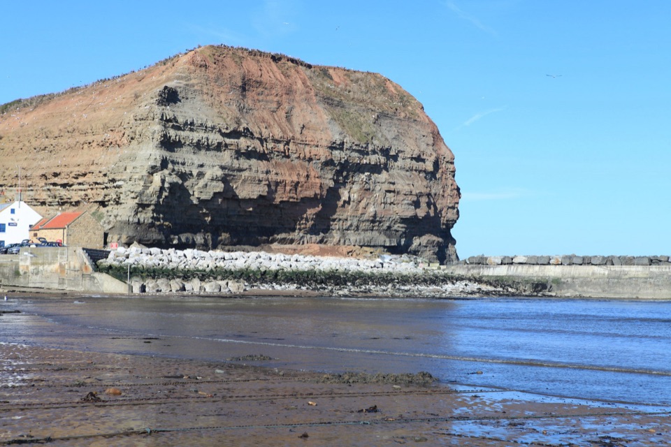
The coast here was worked hard. Alum and ironstone quarrying shaped the cliffs and slopes around Kettleness, and the old Loftus to Whitby line you walk back on served this shoreline before it closed. Earlier coastal erosion has reworked the land near the hamlet. Fossils sometimes turn up loose on the beach, but never dig into the cliffs.

Access and dogsReach the upper Runswick Bank Top car park from the A174 on the signed Runswick turn.

Reach the upper Runswick Bank Top car park from the A174 on the signed Runswick turn. There is a smaller car park down near the beach, but it is more constrained and can fill, so use the upper one and walk down through the village. Dogs are welcome on the public route and should be kept under close control near livestock, birds, other walkers and the unfenced cliff edge. Short leads are advised around livestock, and seasonal lead control applies where ground-nesting birds are present.

If you want something meaningfully easier and more accessible on this stretch of coast, the short Miles without Stiles route at Runswick Bay is the better pick.

Wildlife

Wildlife in North York Moors

All North York Moors wildlife maps

Sighting maps show where each species has been reported across North York Moors. Wildlife moves, so no sighting is guaranteed.

Keep exploring

Near Runswick Bay and Kettleness Circular

See it all on the map

Trails that start nearby

Places near the trailhead

Parkwolf’s North York Moors ranking

Top-rated trails in North York Moors

All 126 trails
  1. 1Cleveland Way National TrailChallenging · 175.4 km
  2. 2Coast to Coast Path National TrailChallenging · 305.8 km
  3. 3Roseberry Topping and Cook’s MonumentModerate · 11.6 km
  4. 4Levisham Moor & Hole of HorcumModerate · 8.4 km
  5. 5Ravenscar to Robin Hood's BayChallenging · 17.7 km
  6. 6Lyke Wake WalkChallenging · 64.7 km

Take Parkwolf to North York Moors.

The audio tour guide for the drive, plus offline maps, trails, and wildlife heatmaps for when the signal drops.

4.7 from 8,600+ ratings

Download Parkwolf on the App StoreGet Parkwolf on Google Play