Best time to go
- Tide: arrive on a low or falling tide for fossil hunting and rockpools
- Time of day: early gives the best shot at lower parking
- Season: shoulder season means fewer people on the sand and easier parking
Beach · North York Moors National Park
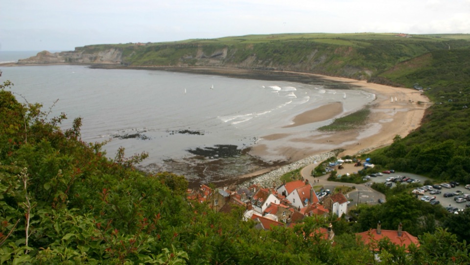
Fossil-rich sands below a cliffside of old fishermen's cottages
Overview
Map
Plan your stop

The highest, rockiest slopes around here are a summer buffet for grizzly bears.
North York Moors Tour Guide
Parkwolf is a GPS audio tour guide for North York Moors National Park. As you drive, it chimes in with what’s ahead: hidden gems, upcoming stops, history, geology, and wildlife, right through your car’s speakers.
Recorded for this place
Runswick Bay“You're nearing Runswick Bay's Bank Top, above a sandy beach backed by old fishermen's cottages. The village and shore are downhill from here, so leave some energy for the steep walk back.”
Plays as you drive up to Runswick Bay in the Parkwolf North York Moors Tour Guide.
More stories near here in the app
“Fantastic app with many points of information… It’s great to just turn on while you’re driving and it gives you an audio tour of the national Park. We love it!!!!”


Guide
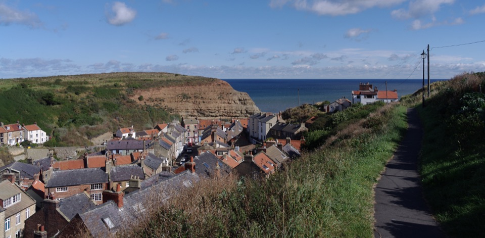
A curved sandy shoreline sits beneath a steep hillside packed with former fishermen's cottages. A white-painted thatched building near the shore was once the Coastguard house. Access between the village and the beach is steep, so allow time and wear footwear you can walk down and back up in.
The bay is sheltered, and the water is often suitable for swimming, stand-up paddleboarding and kayaking. At low tide, rockpools open up along the shore for close-up looking at small marine life.
The cliffs and foreshore expose Jurassic shales roughly 150 million years old. Finds from these beds include:
A low or falling tide gives the most beach to search and the safest margin for getting back. Hob Holes, a set of caves at the far headland, are best viewed from a distance because of rockfall risk.
The Cleveland Way runs through the village, so you can link the bay into a longer coastal route.
For a shorter option, a 2-mile, mostly level clifftop walk begins at the upper car park:
The settlement standing today exists because of disaster: a ground-slip in 1664 carried away the earlier village, which was then rebuilt on its present site. Fishing later dominated, with more than 20 herring boats working from here in the 1840s. Within a century, that industry had disappeared, leaving the cottages and the shape of the village as its record.
1. Park up top and take the clifftop walk out toward Port Mulgrave and back
2. Walk down into the village and past the thatched former Coastguard house
3. Reach the beach as the tide falls for rockpools and fossil searching
4. Finish with a swim or paddle in the sheltered water before the climb back up
Wildlife
 15 sightingsEurasian OtterMost seen around 7 PMSighting map
 10 sightingsRed DeerMost seen around 7 AMSighting map
 79 sightingsGrey SealMost seen around noonSighting map
 26 sightingsWestern Barn OwlMost seen around 7 PMSighting map
 33 sightingsEuropean BadgerMost seen around 7 PMSighting map
 10 sightingsMute SwanMost seen around noonSighting map
Sighting maps show where each species has been reported across North York Moors. Wildlife moves, so no sighting is guaranteed.
Keep exploring
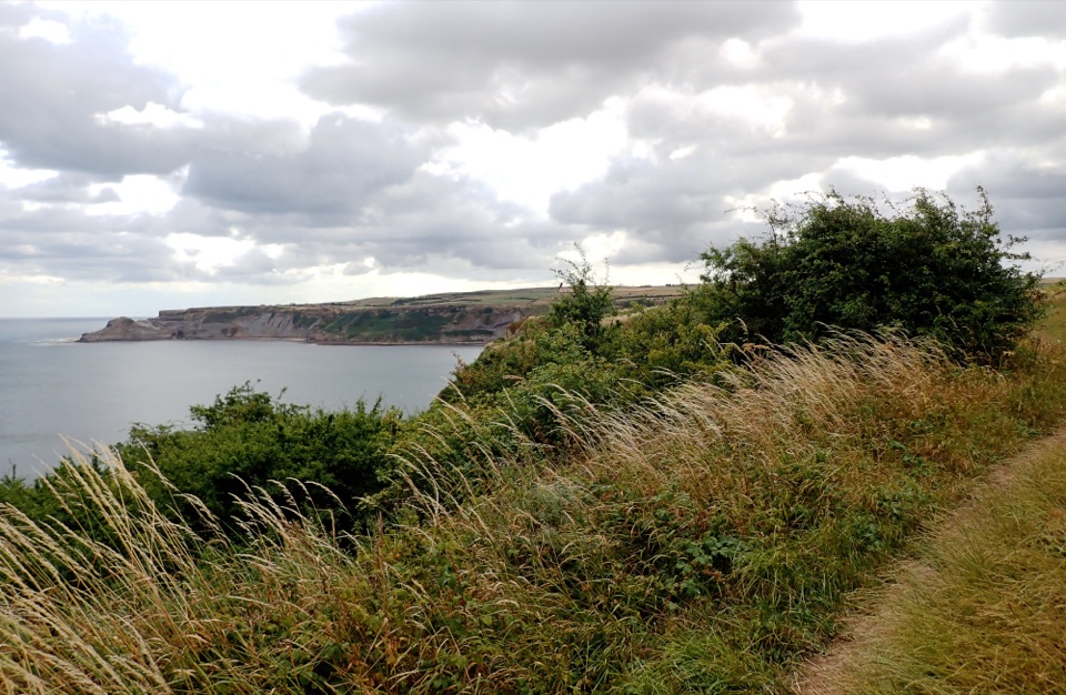 EasyMiles without Stiles (for some) Runswick Bay1.9 km · 45 min · 0.6 km awayLevel clifftop roll to wide views over Runswick Bay and Kettleness
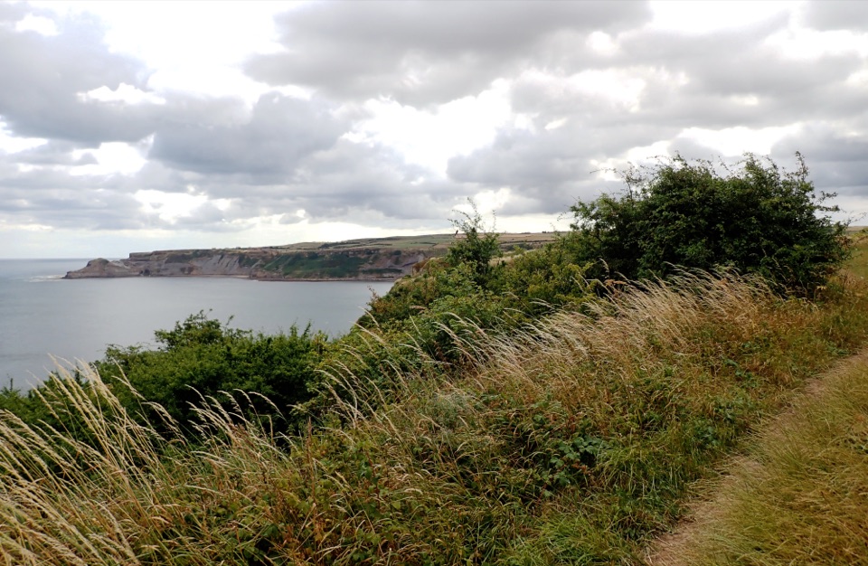 ModerateRunswick Bay and Kettleness Circular8.7 km · 3 hr · 0.6 km awayBeach sands, steep cliff steps and a quiet old railway return
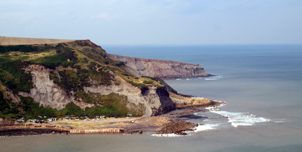 ModerateRunswick Bay to Staithes7.2 km · 3 hr · 0.6 km awayClifftop walk between two fishing villages, past a lost ironstone harbour
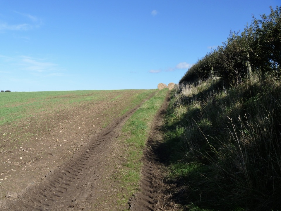 ModerateGuard House Way6.4 km · 2.3 hr · 0.7 km awayField edges, old railway and filtered sea views, Runswick Bay to Lythe
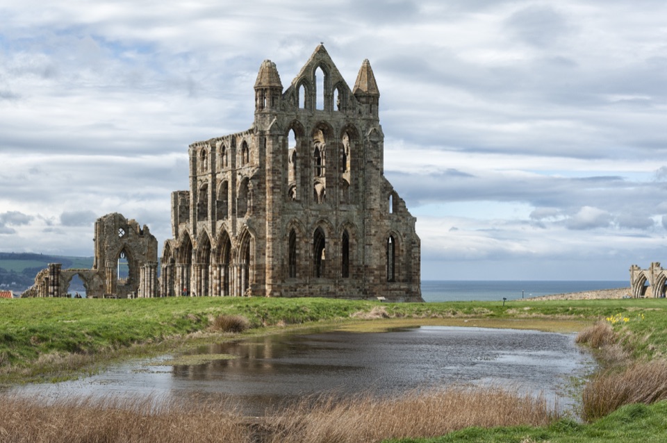 ChallengingSt Hilda's Way65.1 km · 18 hr · 2.5 km awayFrom a holy well to Whitby Abbey across moor and Esk Valley
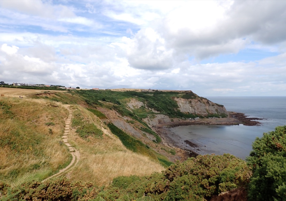 ModerateStaithes and Port Mulgrave6.4 km · 2.5 hr · 4.2 km awayHarbour lanes, cliff edges, ironstone ruins, then quiet fields home
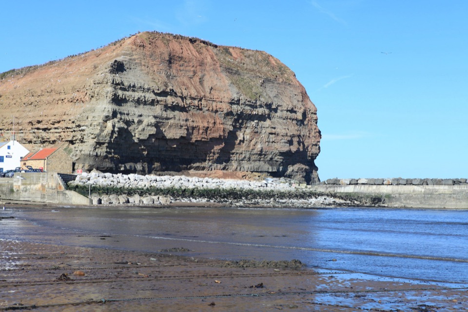 ModerateStaithes, Cowbar, Roxby Wood and Borrowby Dale12.3 km · 4 hr · 4.4 km awayClifftops, harbour cottages, a wooded beck and a lost harbour
 ModerateMulgrave Way14.5 km · 4 hr · 5.8 km awayNine miles one way from Sandsend's coast to Glaisdale's Esk Valley
Parkwolf’s North York Moors ranking

The audio tour guide for the drive, plus offline maps, trails, and wildlife heatmaps for when the signal drops.