Parking
Start at East Row Car Park in Sandsend. This is a point-to-point route, so arrange a pickup, second vehicle or public-transport return from the Rake Farm bridge area in Glaisdale.
North York Moors National Park, EN
Nine miles one way from Sandsend's coast to Glaisdale's Esk Valley
Overview
The Mulgrave Way is a 9 mile one way, point-to-point walk across the Mulgrave Estate, starting at East Row Car Park in Sandsend and finishing at the Rake Farm bridge area in Glaisdale, where the route joins the Esk Valley Walk. The waymarked line measures close to 8.8 miles (about 14.2 km) on the current manager mapping, which matches the rounded official 9 mile figure. There is no circular option here, so plan the return before you set off.
Map & elevation
Plan your hike

The highest, rockiest slopes around here are a summer buffet for grizzly bears.
North York Moors Tour Guide
Parkwolf is a GPS audio tour guide for North York Moors National Park. As you drive, it chimes in with what’s ahead: hidden gems, upcoming stops, history, geology, and wildlife, right through your car’s speakers.
Recorded for this area
A Castle Revealed in Stages“Near Dunsley, the approach to Mulgrave Castle was designed to keep visitors guessing.”
Plays on the road 0.9 km from the trailhead in the Parkwolf North York Moors Tour Guide.
More stories near here in the app
“Fantastic app with many points of information… It’s great to just turn on while you’re driving and it gives you an audio tour of the national Park. We love it!!!!”


Trail guide
The reward is the steady change of scene: Sandsend and coastal views at the start, wooded becks and estate woodland in the middle, then open arable and pasture fields, hedged lanes and the Esk Valley at the finish. It was designed as a linear link between coast and countryside, and it reads that way on the ground.
Expect a long, rolling country walk on woodland paths, pasture, arable field edges, farm tracks and short lanes and roads, with gates, bridges and some stiles. Nothing is technical, but 9 miles with repeated ascents and descents and mixed footing makes this a solid moderate to hard day walk, rated 6/10. Fields can be wet or uneven, so choose footwear that copes with mud and long grass.
Cross the A171 with care, along with the smaller country roads on the route. The official directions include several sleeper and stone bridges, numerous gates, and a stile near Moorside Farm. The walk runs through working estate and farm land, so stay on the waymarked line, close gates behind you, and give space to estate, forestry and farm operations.
Dogs are allowed on this route. Keep them on leads near livestock and during the bird nesting season.
Start from East Row Car Park at Sandsend; the waymarked line begins roughly 65 m from the car park access point. Because the finish is at Rake Farm bridge in Glaisdale, arrange a pick-up, a two-car shuttle, or a public transport return in advance. There is no single mapped destination point for the route as a whole, so navigate to the Sandsend car park and follow the waymarks from there.
Wildlife
 15 sightingsEurasian OtterMost seen around 7 PMSighting map
 10 sightingsRed DeerMost seen around 7 AMSighting map
 79 sightingsGrey SealMost seen around noonSighting map
 26 sightingsWestern Barn OwlMost seen around 7 PMSighting map
 33 sightingsEuropean BadgerMost seen around 7 PMSighting map
 10 sightingsMute SwanMost seen around noonSighting map
Sighting maps show where each species has been reported across North York Moors. Wildlife moves, so no sighting is guaranteed.
Keep exploring
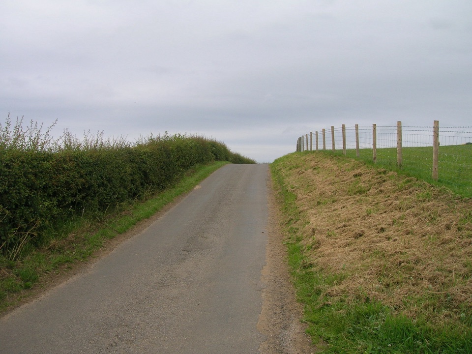
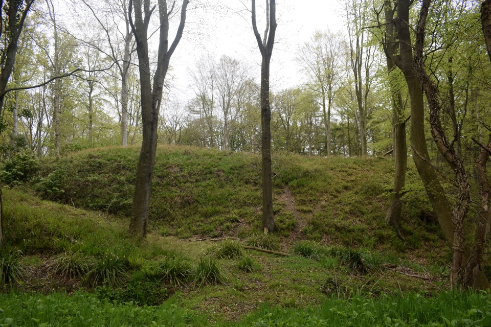 ModerateFoss Mill Crossing8 km · 2.8 hr · 3.9 km awayField paths and beck bridges to Foss Mill's ruins and Foss Castle
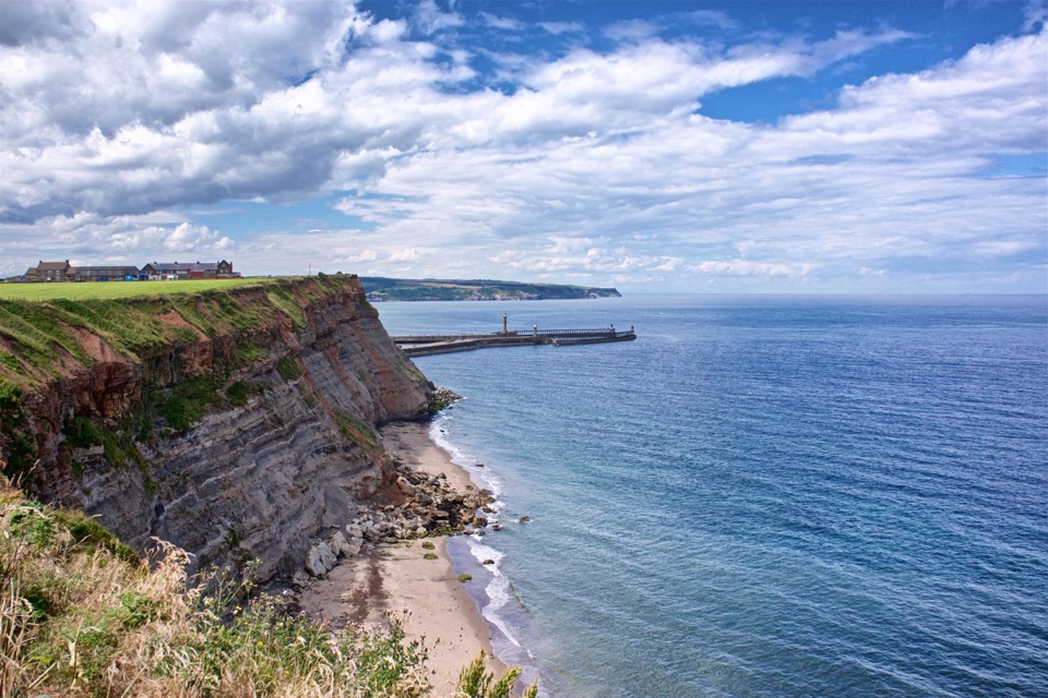 ModerateWhitby Wander12.7 km · 4.2 hr · 4.2 km awayClimb the 199 Steps, walk clifftops, loop home on the Cinder Track
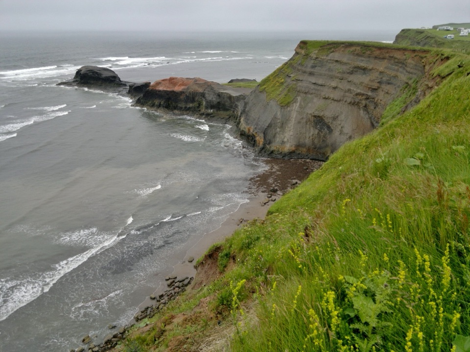 ModerateWhitby to Robin Hood's Bay11.3 km · 3.8 hr · 4.2 km awaySeven clifftop miles from the 199 Steps to Robin Hood's Bay
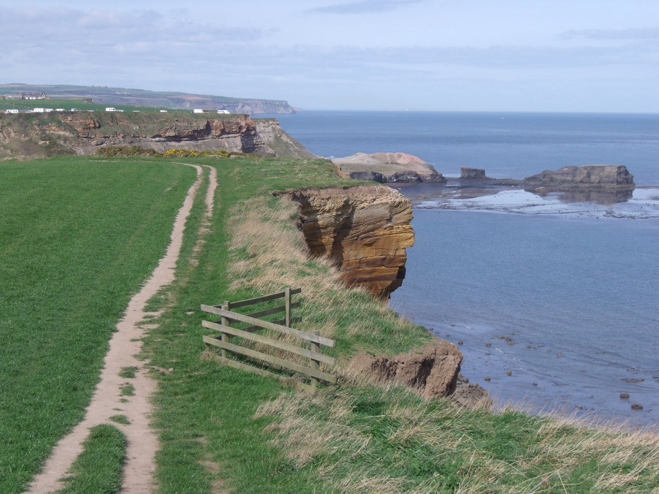 ModerateWhitby and Hawsker Circular12.7 km · 3.8 hr · 4.2 km awayCliff-top Cleveland Way out, easy Cinder Track home, past Whitby Abbey
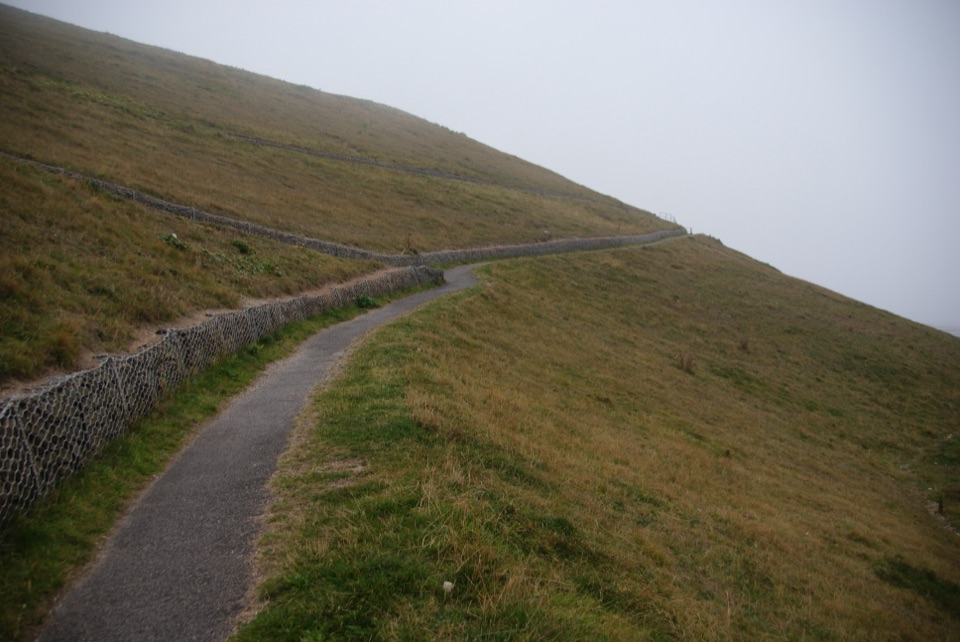 EasyMiles without Stiles (For all) - Whitby3.1 km · 1.1 hr · 4.7 km awayLevel clifftop path above Whitby Abbey, out and back with sea views
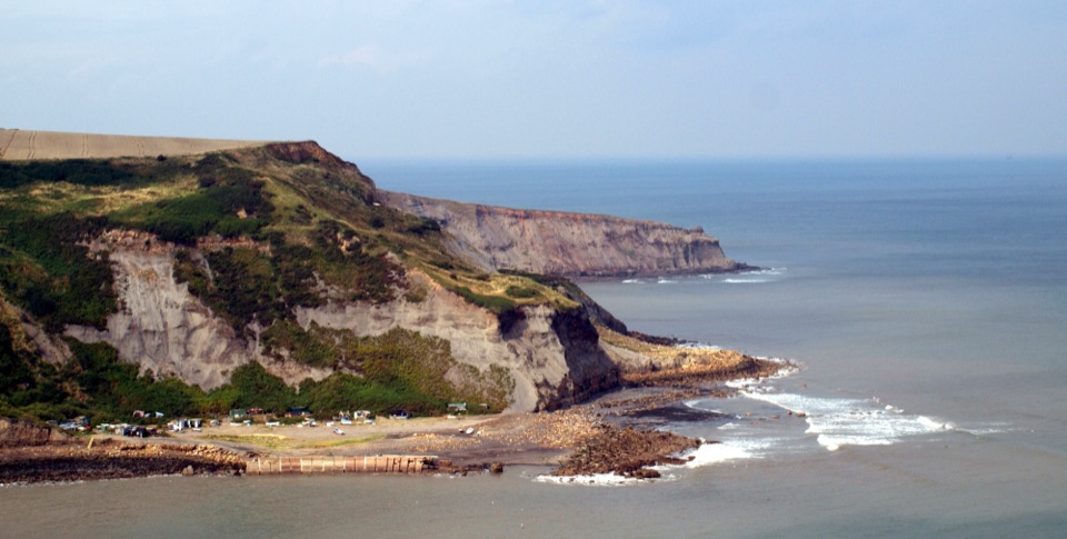 ModerateRunswick Bay to Staithes7.2 km · 3 hr · 5.2 km awayClifftop walk between two fishing villages, past a lost ironstone harbour
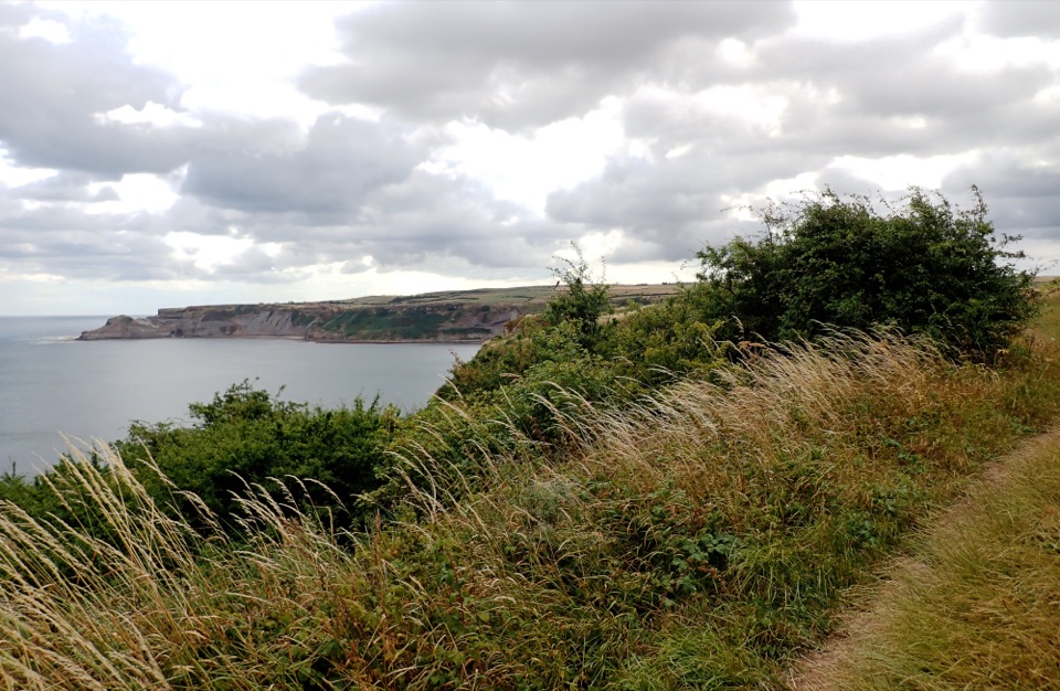 EasyMiles without Stiles (for some) Runswick Bay1.9 km · 45 min · 6.3 km awayLevel clifftop roll to wide views over Runswick Bay and Kettleness
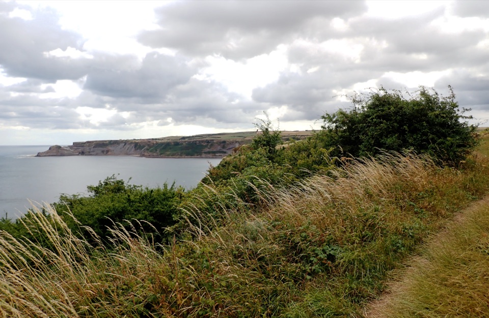 ModerateRunswick Bay and Kettleness Circular8.7 km · 3 hr · 6.4 km awayBeach sands, steep cliff steps and a quiet old railway return
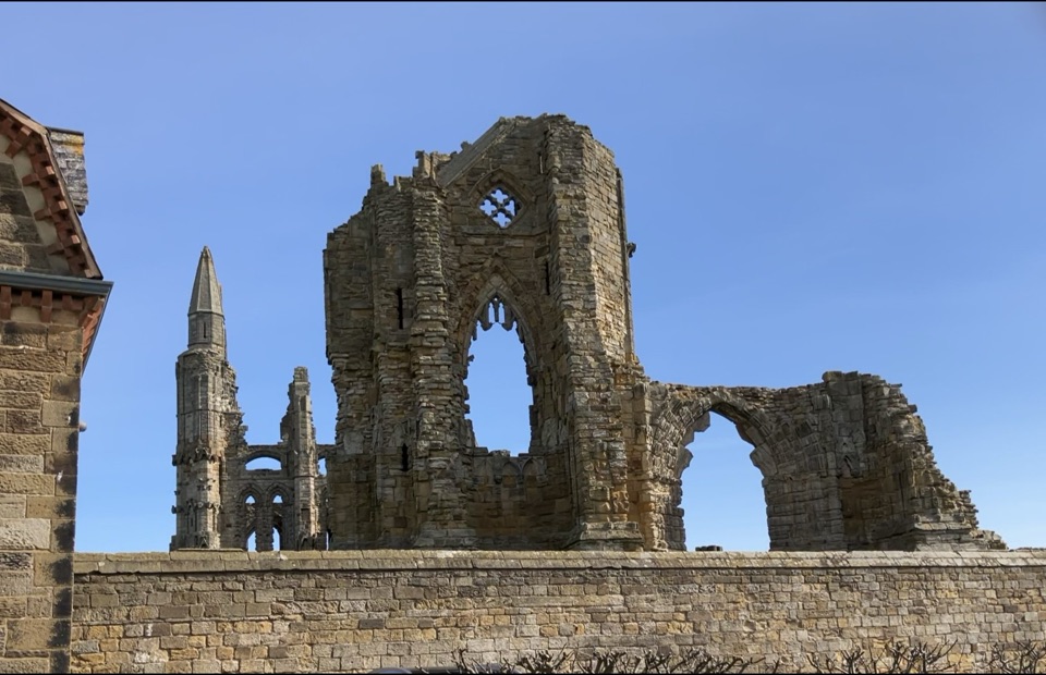 Sight · 4.5 km awayWhitby AbbeyGothic clifftop ruins above Whitby, from St Hild to Dracula
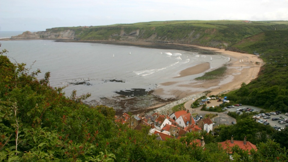 Beach · 5.8 km awayRunswick BayFossil-rich sands below a cliffside of old fishermen's cottages
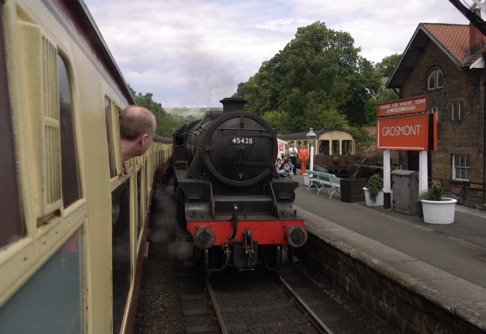 Sight · 7.8 km awayGrosmont StationEngine sheds, an 1835 tunnel and steam locomotives at work
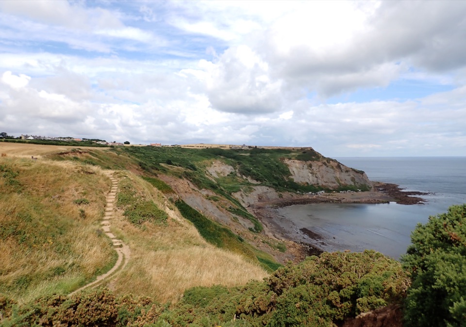 Sight · 8.2 km awayPort MulgraveRuined ironstone harbour below sea cliffs on the Cleveland Way
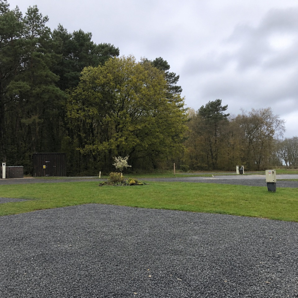 Campground · 9 km awayNorth Yorkshire Moors Club CampsiteQuiet wooded pitches with moorland views and walks from the gate
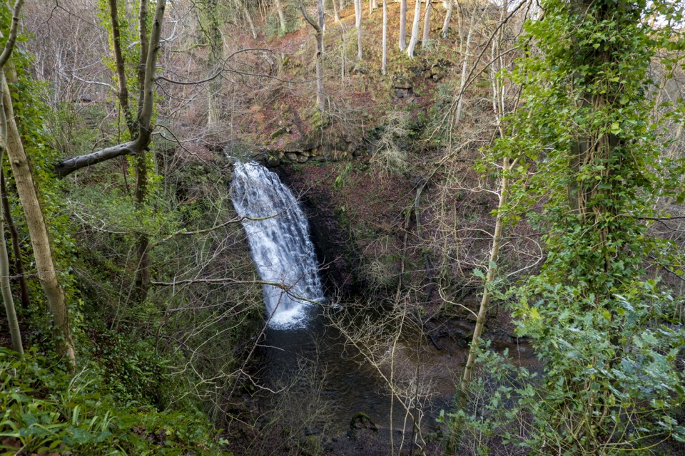 Sight · 9.4 km awayFalling Foss WaterfallA 9-metre fall of water in a steep, wooded valley near Whitby
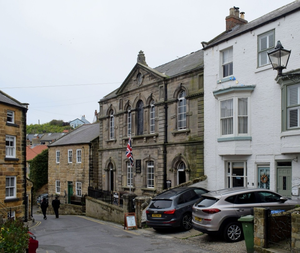 Sight · 10.1 km awayStaithes MuseumFour thousand village stories packed into a tiny former chapel
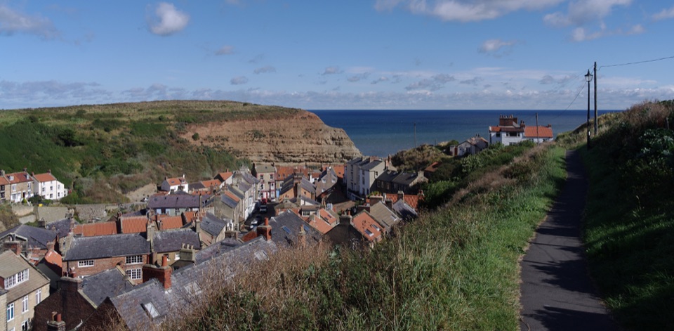 Sight · 10.1 km awayStaithesSteep cobbled lanes, sheltered harbour, fossil shores and painters' light
Parkwolf’s North York Moors ranking

The audio tour guide for the drive, plus offline maps, trails, and wildlife heatmaps for when the signal drops.





