Parking
Start at the Dalby Forest Visitor Centre car park in Low Dalby (YO18 7LT). Use the signed forest entrance and Visitor Centre access; overflow parking is available at Seivedale when busy.
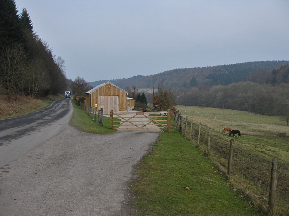
North York Moors National Park, EN
A steep, bumpy forest loop linking the Dalby and Ellerburn valleys
Overview
A circular loop of about 4.2 miles (6.7 km) that starts and finishes at the Dalby Forest Visitor Centre in Low Dalby. Allow around 2 hours at an ordinary walking pace; the steep and bumpy sections make it slower than the distance alone suggests. Because it is a closed loop, you return to the same car park, toilets and cafe you set out from.
Map & elevation
Plan your hike

The highest, rockiest slopes around here are a summer buffet for grizzly bears.
North York Moors Tour Guide
Parkwolf is a GPS audio tour guide for North York Moors National Park. As you drive, it chimes in with what’s ahead: hidden gems, upcoming stops, history, geology, and wildlife, right through your car’s speakers.
Recorded for this trailhead
Dalby Forest Visitor Centre“Dalby Forest Visitor Centre is coming up, a useful first stop if you haven't decided how much walking or cycling you want. Staff can help you choose a route, and the café serves meals, coffee and cake.”
Plays as you drive up to this trailhead in the Parkwolf North York Moors Tour Guide.
More stories near here in the app
“Fantastic app with many points of information… It’s great to just turn on while you’re driving and it gives you an audio tour of the national Park. We love it!!!!”


Trail guide
The payoff is a straightforward forested valley walk: two contrasting valley sides, plenty of tree cover, and open views where the path sits high above the beck.
Rated moderate (5/10). The route uses gravelled forest paths and tracks, with some road and shared-use sections near the visitor hub. Expect steep gradients in places, uneven and bumpy surfaces, and repeated climbing and descending rather than one long ascent. Boots or trail shoes with grip are worth wearing, and other walkers, cyclists and forest vehicles share parts of the route.
Follow the yellow disc markers with a black arrow for the full circuit. Trail maps are available from the Visitor Centre and are worth picking up, since several waymarked routes share the same forest tracks in places.
This trail is not suitable for wheelchairs or pushchairs. The steep gradients and bumpy gravel paths rule out wheeled access along the full loop, even though the visitor hub itself has accessible facilities.
Dogs are welcome at Dalby Forest. Keep yours under close, responsible control on the narrow and shared sections, give way to other users and wildlife, and take any waste away with you.
Wildlife
 15 sightingsEurasian OtterMost seen around 7 PMSighting map
 10 sightingsRed DeerMost seen around 7 AMSighting map
 79 sightingsGrey SealMost seen around noonSighting map
 26 sightingsWestern Barn OwlMost seen around 7 PMSighting map
 33 sightingsEuropean BadgerMost seen around 7 PMSighting map
 10 sightingsMute SwanMost seen around noonSighting map
Sighting maps show where each species has been reported across North York Moors. Wildlife moves, so no sighting is guaranteed.
Keep exploring
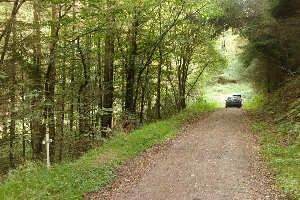 ModerateSneverdale Rigg Rabbit Run3.8 km · 1.3 hr · At the trailheadShort forest loop with a steady climb, historic rabbit trap and deer
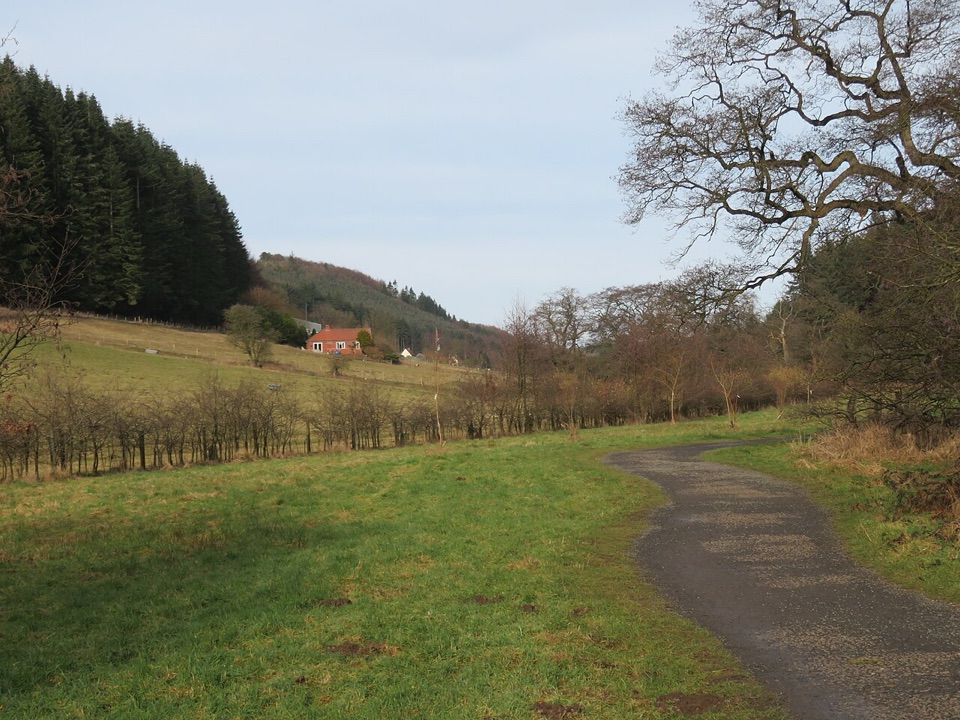 EasyEllerburn Trail5.5 km · 1.5 hr · 0.2 km awayGentle beckside forest loop for wheels, walkers and pushchairs
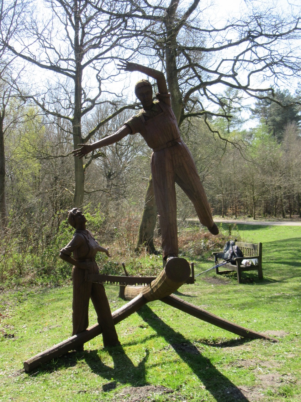 ModeratePexton Moor Trail2.4 km · 40 min · 1.8 km awayShort teal-marked forest loop to the Lumberjills memorial and rigg views
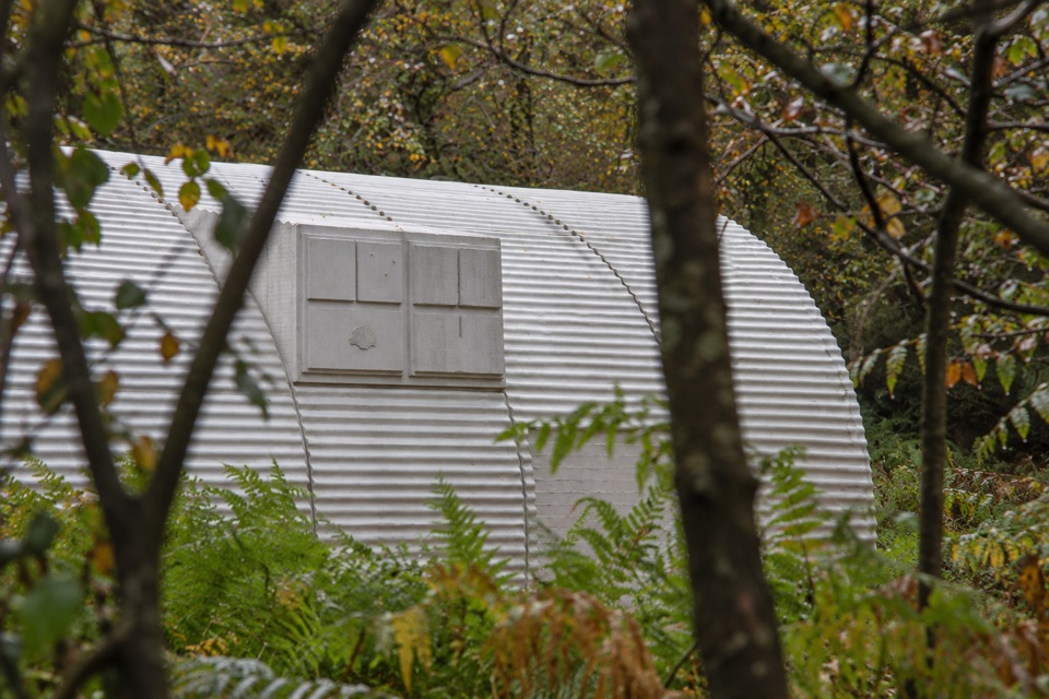 EasyNissen Hut Trail1 km · 30 min · 3.3 km awayA short gravel loop to Rachel Whiteread's cast-concrete sculpture
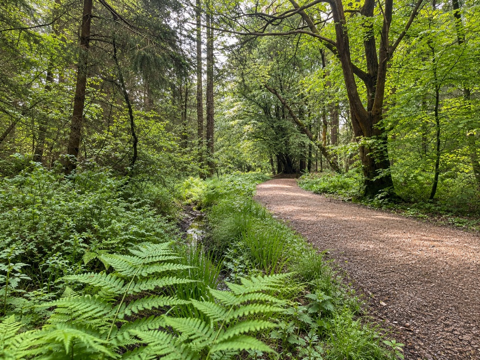 ModerateAdderstone Rigg Trail4.1 km · 1.3 hr · 3.5 km awaySigned forest loop to the Adder Stone, with extensive forest views
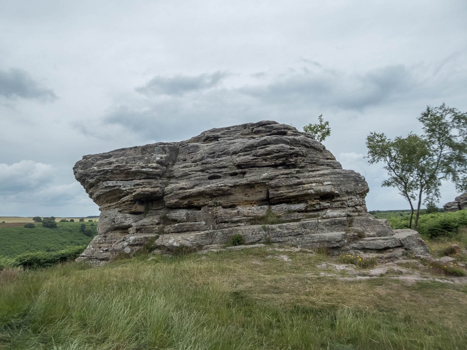 ModerateBridestones Trail at Dalby Forest2.4 km · 1 hr · 3.5 km awayShort, steep circuit to weathered sandstone giants above a moorland valley
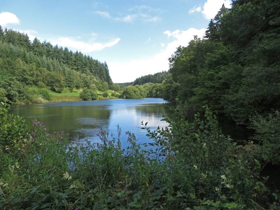 EasyLakeside Trail at Dalby Forest0.8 km · 30 min · 3.8 km awayBoardwalks, dam views and Dragonfly artwork on a half-mile lake loopEasyLakeside Trail at Dalby Forest0.8 km · 30 min · 3.8 km awayBoardwalk loop around Staindale Lake with dam views and dragonfly art
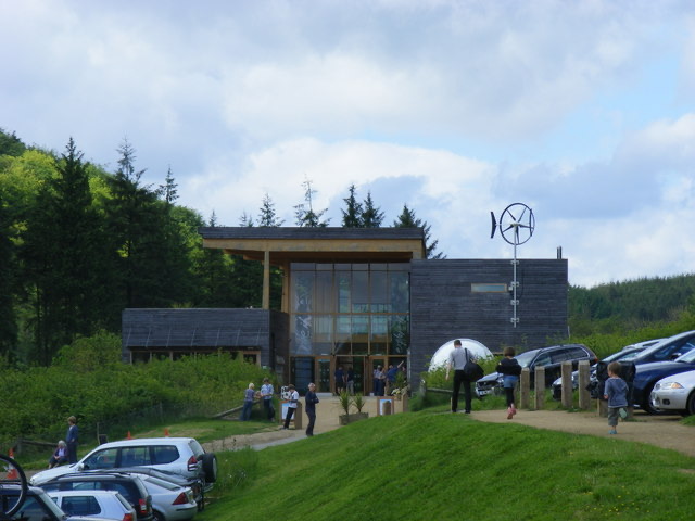 Visitor center · At the trailheadDalby Forest Visitor CentreTrail advice, cafe and beckside play at the forest's main hub
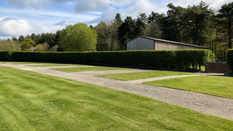 Campground · 2.5 km awayDalby Forest CampsiteFarm-field pitches with moorland views, forest trails and milk vending.
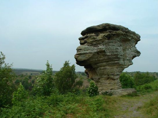 Sight · 3.9 km awayBridestones, Crosscliff and Blakey ToppingJurassic sandstone towers, heather moor and a flat-topped hill to climb
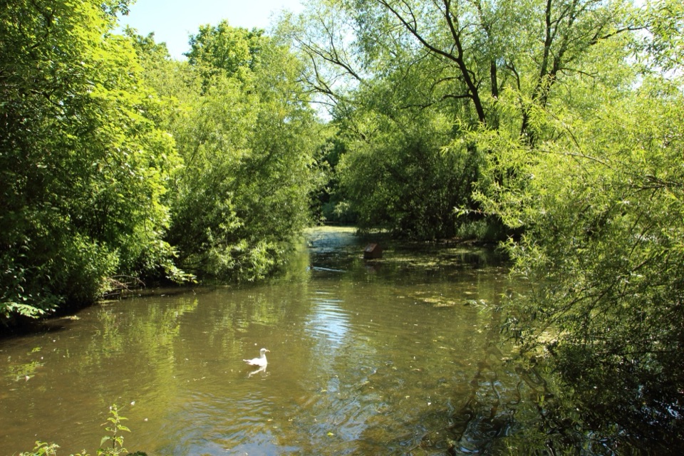 Sight · 5.2 km awayThornton-le-DaleThatched cottage, duck pond and beckside bridges in a two-minute wander
 Sight · 6 km awayHole of HorcumA 400-foot heather amphitheatre with a short accessible view platform
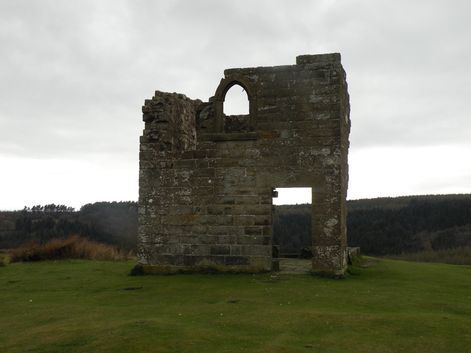 Sight · 6.2 km awaySkelton TowerRuined 1830s shooting lodge perched high above Newtondale's steam railway
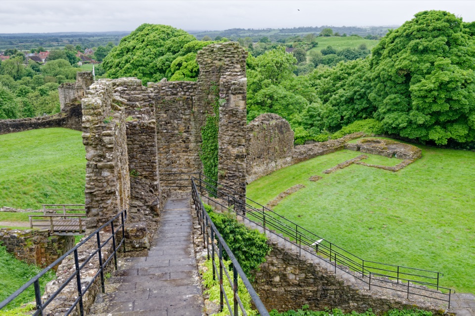 Sight · 6.5 km awayPickering CastleClimb a Norman motte to shell keep ruins and valley views
 Sight · 6.8 km awayNorth Yorkshire Moors RailwayHeritage trains cross 24 miles of moorland from Pickering to Whitby
Parkwolf’s North York Moors ranking

The audio tour guide for the drive, plus offline maps, trails, and wildlife heatmaps for when the signal drops.





