Parking
Start at Bickley Gate car park, reached via Dalby Forest Drive. Follow the purple markers with white arrows; the visitor centre is not this trail’s starting access.
North York Moors National Park, EN
Short purple-marked loop into a birch-lined valley and a beck crossing
Overview
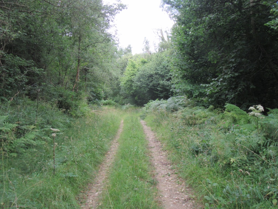
Deepdale is a nature reserve sometimes called the Forest in Miniature, because the woodland features packed into this small valley are repeated across the wider Dalby Forest. The payoff is the habitat itself rather than a big viewpoint: a steep-sided wooded dale, the beck at the bottom, and stands of naturally regenerated birch on the return leg. It is a quiet, close-in walk, so expect texture and detail instead of open moorland panoramas.
 Parkwolf’s verdictWhat makes it worth doing
Map & elevation
Plan your hike

The highest, rockiest slopes around here are a summer buffet for grizzly bears.
North York Moors Tour Guide
Parkwolf is a GPS audio tour guide for North York Moors National Park. As you drive, it chimes in with what’s ahead: hidden gems, upcoming stops, history, geology, and wildlife, right through your car’s speakers.
Recorded for this trailhead
Bickley Gate and Deepdale“You're approaching Bickley Gate, a Dalby Forest trailhead for the small valley of Deepdale.”
Plays as you drive up to this trailhead in the Parkwolf North York Moors Tour Guide.
More stories near here in the app
“Fantastic app with many points of information… It’s great to just turn on while you’re driving and it gives you an audio tour of the national Park. We love it!!!!”


Trail guide
A circular loop of 1.3 miles (2.1 km) starting and finishing at Bickley Gate car park on Dalby Forest Drive, waymarked with purple markers and white arrows. From the car park the path drops into Deepdale, works around the head of the valley, crosses White Beck, then climbs back through natural birch woodland to close the loop. Allow about 40 minutes at a steady walking pace, longer if you stop to look at the woodland closely.
Difficulty: 3/10. Easy in distance, but not a smooth or level stroll.
Wildlife
 15 sightingsEurasian OtterMost seen around 7 PMSighting map
 10 sightingsRed DeerMost seen around 7 AMSighting map
 79 sightingsGrey SealMost seen around noonSighting map
 26 sightingsWestern Barn OwlMost seen around 7 PMSighting map
 33 sightingsEuropean BadgerMost seen around 7 PMSighting map
 10 sightingsMute SwanMost seen around noonSighting map
Sighting maps show where each species has been reported across North York Moors. Wildlife moves, so no sighting is guaranteed.
Keep exploring
 EasyJerry Noddle Trail3.7 km · 1.3 hr · 0.3 km awayForest roads climb to Upper Langdale views and a carved sandstone shrine
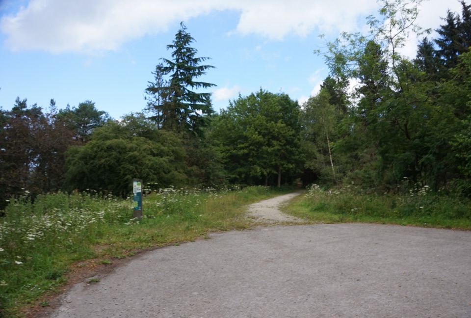 EasyWaitcliff Trail2.8 km · 54 min · 0.3 km awayGravel forest loop to plateau-edge views high above Bickley and Deepdale
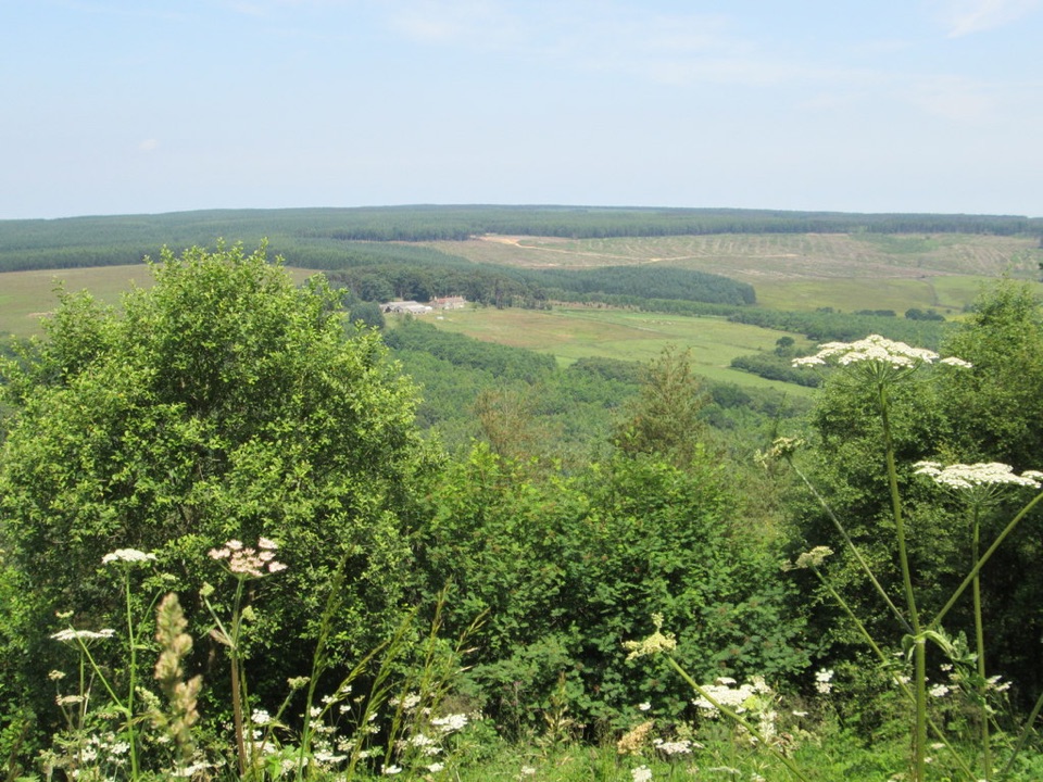 EasyCrosscliff View Trail0.8 km · 15 min · 1.8 km awayHalf a mile of level forest road to a wide moorland viewpoint
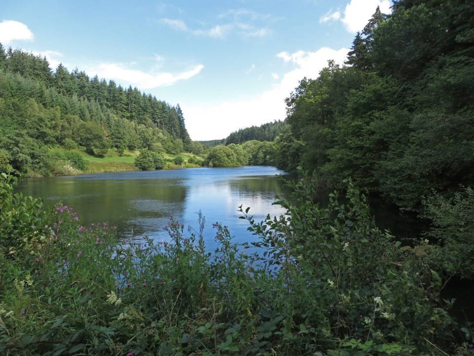 EasyLakeside Trail at Dalby Forest0.8 km · 30 min · 2.9 km awayBoardwalks, dam views and Dragonfly artwork on a half-mile lake loopEasyLakeside Trail at Dalby Forest0.8 km · 30 min · 2.9 km awayBoardwalk loop around Staindale Lake with dam views and dragonfly art
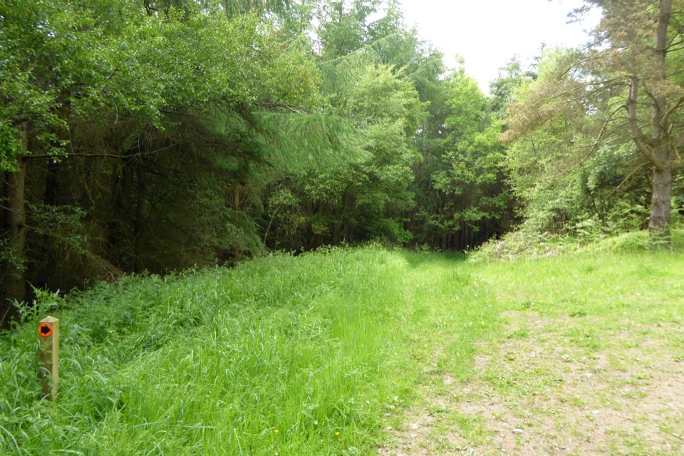 ModerateWoodcock Way (shorter loop)5.3 km · 1.5 hr · 2.9 km awayForest loop to Crosscliff views, a quiet bench and Grain Slack Gorge
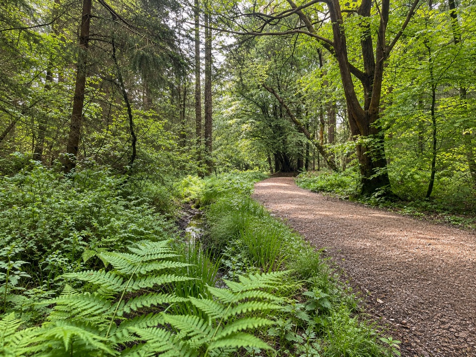 ModerateAdderstone Rigg Trail4.1 km · 1.3 hr · 3 km awaySigned forest loop to the Adder Stone, with extensive forest views
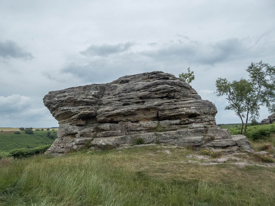 ModerateBridestones Trail at Dalby Forest2.4 km · 1 hr · 3.4 km awayShort, steep circuit to weathered sandstone giants above a moorland valley
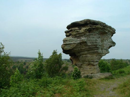 Sight · 3.8 km awayBridestones, Crosscliff and Blakey ToppingJurassic sandstone towers, heather moor and a flat-topped hill to climb
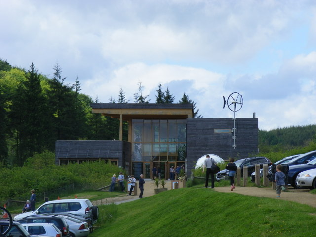 Visitor center · 6.4 km awayDalby Forest Visitor CentreTrail advice, cafe and beckside play at the forest's main hub
 Sight · 7.3 km awayHole of HorcumA 400-foot heather amphitheatre with a short accessible view platform
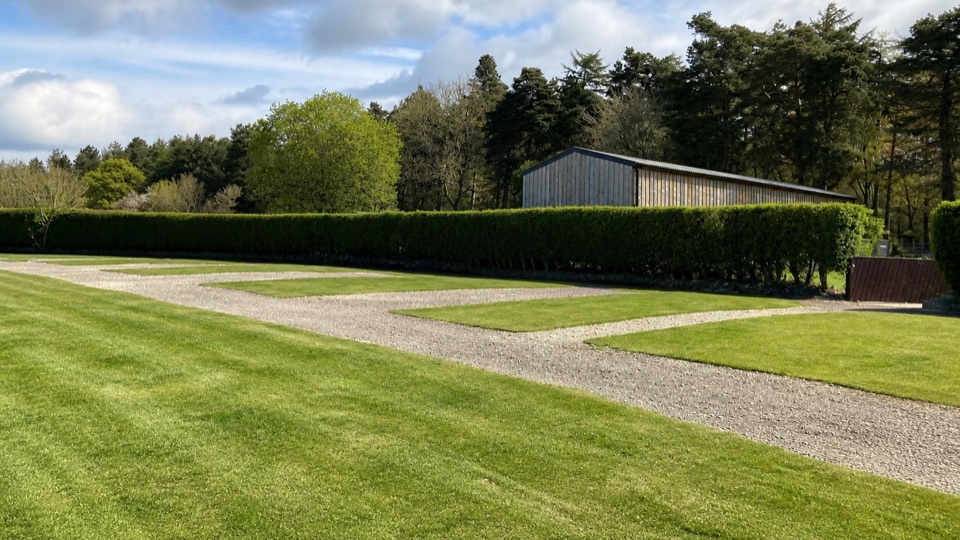 Campground · 8.4 km awayDalby Forest CampsiteFarm-field pitches with moorland views, forest trails and milk vending.
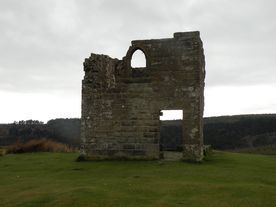 Sight · 9.4 km awaySkelton TowerRuined 1830s shooting lodge perched high above Newtondale's steam railway
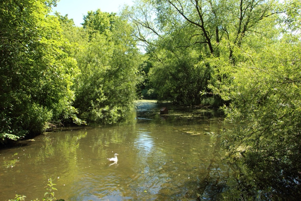 Sight · 11 km awayThornton-le-DaleThatched cottage, duck pond and beckside bridges in a two-minute wander
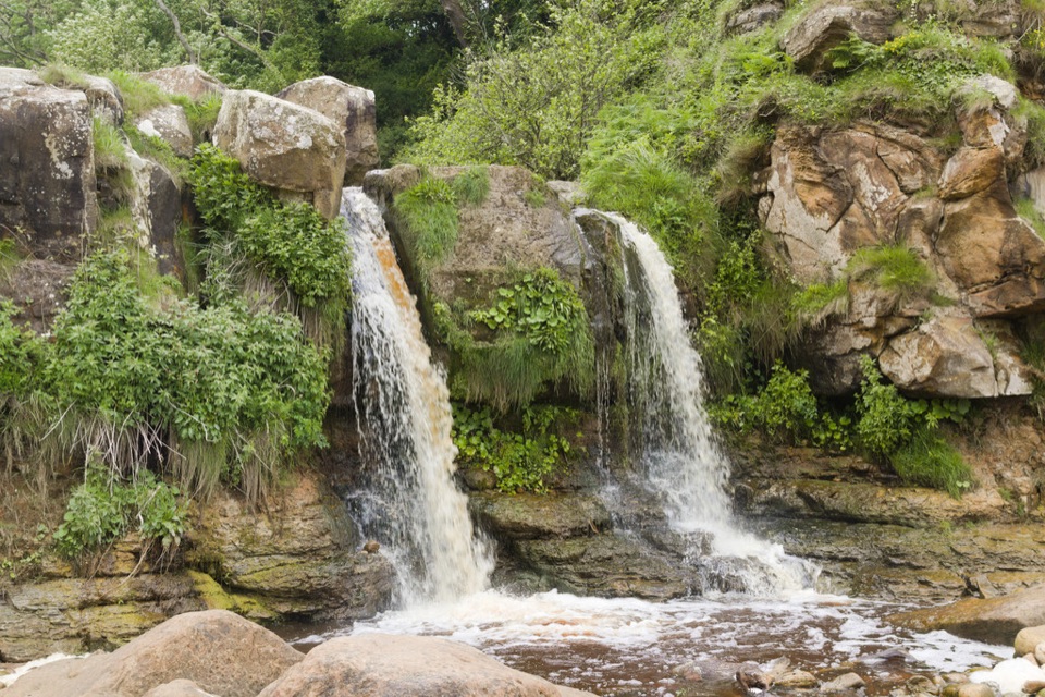 Sight · 11.6 km awayHayburn Wyke WaterfallDouble waterfall spills through wind-twisted oaks onto a pebble cove
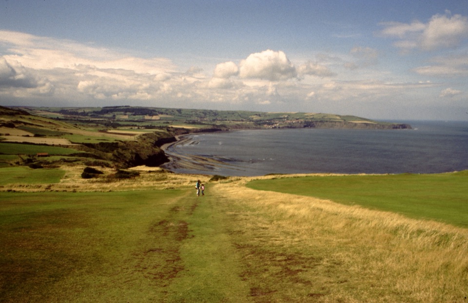 Sight · 12.4 km awayRavenscarThe town that never was, high above Robin Hood's Bay
Parkwolf’s North York Moors ranking
The audio tour guide for the drive, plus offline maps, trails, and wildlife heatmaps for when the signal drops.





