Parking
Start at Bickley Gate car park, reached via Dalby Forest Drive. Follow the yellow markers with black arrows; printed trail maps are available from the visitor centre.
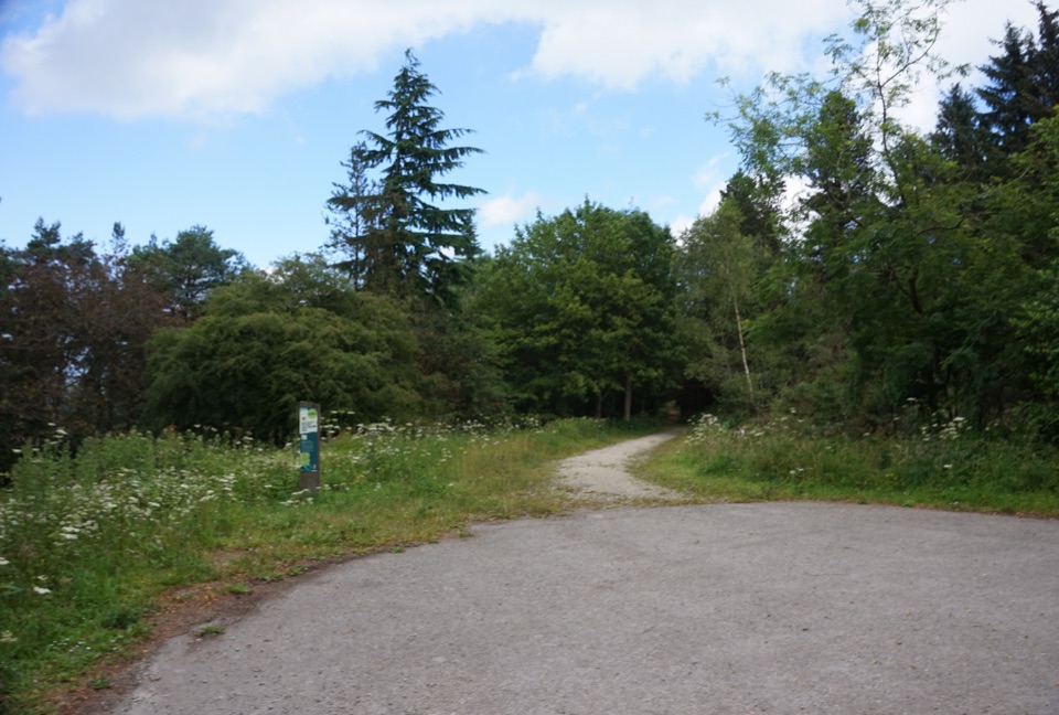
North York Moors National Park, EN
Gravel forest loop to plateau-edge views high above Bickley and Deepdale
Overview
Map & elevation
Plan your hike

The highest, rockiest slopes around here are a summer buffet for grizzly bears.
North York Moors Tour Guide
Parkwolf is a GPS audio tour guide for North York Moors National Park. As you drive, it chimes in with what’s ahead: hidden gems, upcoming stops, history, geology, and wildlife, right through your car’s speakers.
Recorded for this trailhead
Bickley Gate and Deepdale“You're approaching Bickley Gate, a Dalby Forest trailhead for the small valley of Deepdale.”
Plays as you drive up to this trailhead in the Parkwolf North York Moors Tour Guide.
More stories near here in the app
“Fantastic app with many points of information… It’s great to just turn on while you’re driving and it gives you an audio tour of the national Park. We love it!!!!”


Trail guide
Waitcliff Trail is a complete closed loop of about 1.75 miles / 2.8 km, starting and finishing at Bickley Gate car park. Allow 45 to 60 minutes, more if you linger at the viewpoints or walk at a slower, accessible pace. A visitor listing rounds the walk to 2 km, but the detailed mapped track measures the full circuit at roughly 2.8 km.
From the car park the trail heads out along a quiet forest road, then works around the edge of the plateau on compacted stone and gravel paths. Several viewpoints open up along the way, with the payoff at Waitcliff End, looking out high above Bickley and Deepdale. The loop then closes back at the same car park, so there is no need to retrace your steps.
Follow the yellow waymarkers with black arrows at junctions.
Start at Bickley Gate car park, reached via Dalby Forest Drive. Trail maps are available from the visitor centre if you want the printed version before setting out.
Dogs are allowed. Keep them under close control around other forest users and livestock.
The plateau edge is open to ordinary weather, so bring a layer for wind on the viewpoint sections. Clear conditions make the most of the long views down over Bickley and Deepdale, which are the reason to come.
This is a short, easy, mostly surfaced walk, so anyone after a rugged moorland hike or a longer day out will find it limited. If you want more effort from the same area, Woodcock Way from Bickley Gate is longer and more strenuous.
Wildlife
 15 sightingsEurasian OtterMost seen around 7 PMSighting map
 10 sightingsRed DeerMost seen around 7 AMSighting map
 79 sightingsGrey SealMost seen around noonSighting map
 26 sightingsWestern Barn OwlMost seen around 7 PMSighting map
 33 sightingsEuropean BadgerMost seen around 7 PMSighting map
 10 sightingsMute SwanMost seen around noonSighting map
Sighting maps show where each species has been reported across North York Moors. Wildlife moves, so no sighting is guaranteed.
Keep exploring
 EasyJerry Noddle Trail3.7 km · 1.3 hr · At the trailheadForest roads climb to Upper Langdale views and a carved sandstone shrine
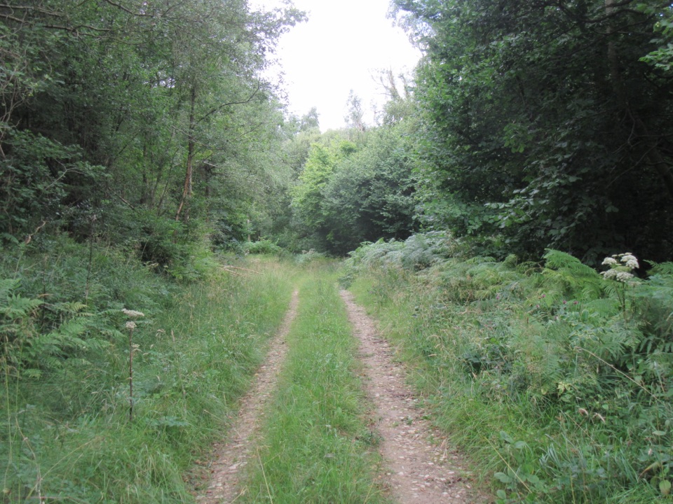 EasyDeepdale Habitat Trail2.1 km · 40 min · 0.3 km awayShort purple-marked loop into a birch-lined valley and a beck crossing
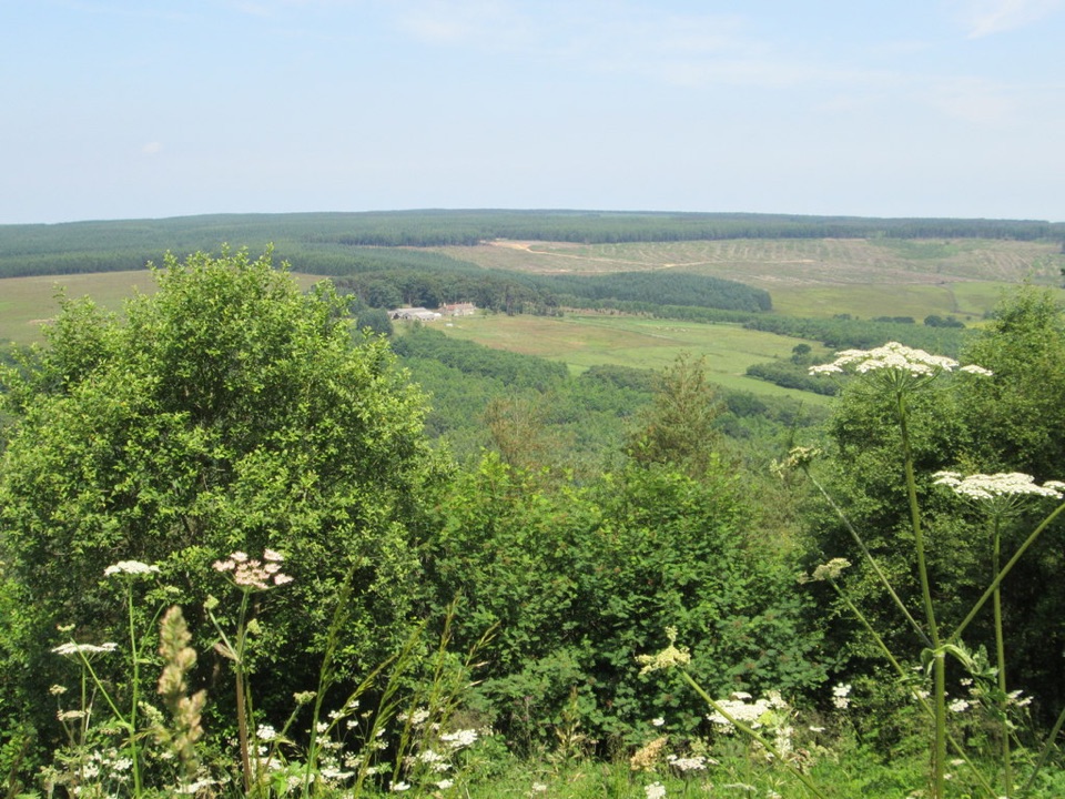 EasyCrosscliff View Trail0.8 km · 15 min · 1.6 km awayHalf a mile of level forest road to a wide moorland viewpoint
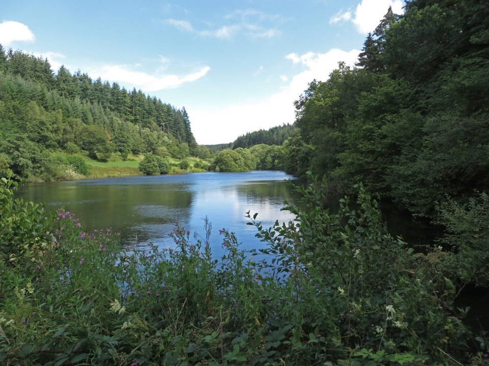 EasyLakeside Trail at Dalby Forest0.8 km · 30 min · 2.8 km awayBoardwalks, dam views and Dragonfly artwork on a half-mile lake loopEasyLakeside Trail at Dalby Forest0.8 km · 30 min · 2.8 km awayBoardwalk loop around Staindale Lake with dam views and dragonfly art
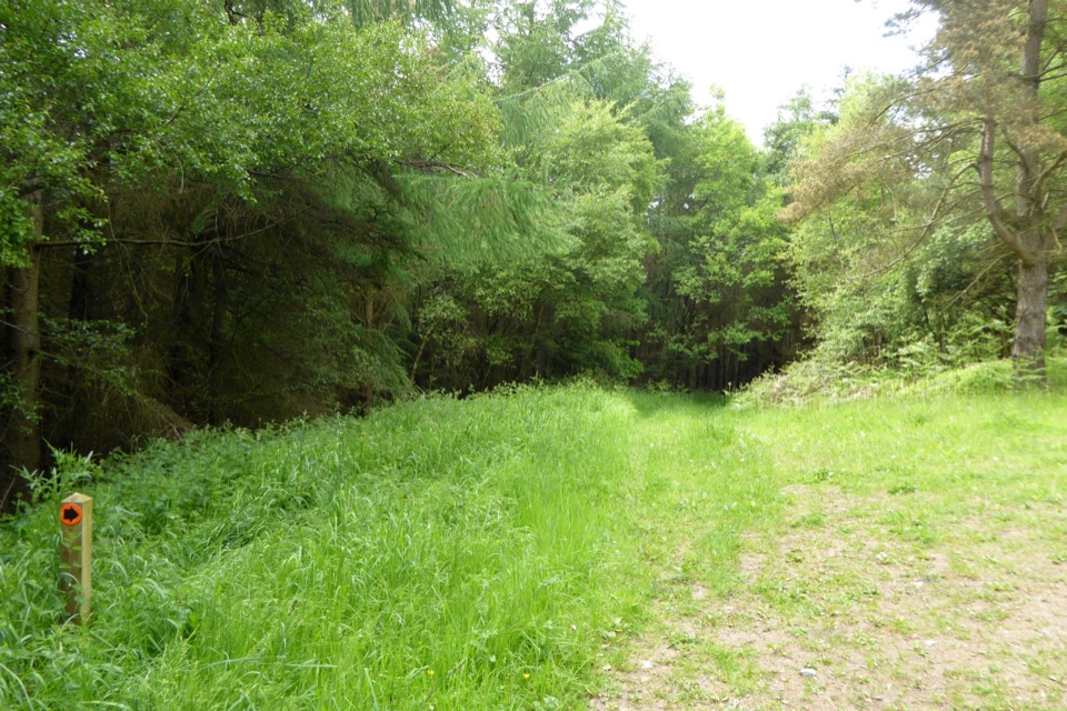 ModerateWoodcock Way (shorter loop)5.3 km · 1.5 hr · 2.8 km awayForest loop to Crosscliff views, a quiet bench and Grain Slack Gorge
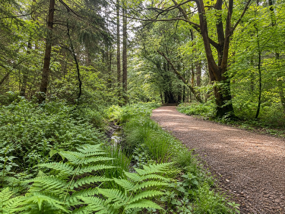 ModerateAdderstone Rigg Trail4.1 km · 1.3 hr · 3 km awaySigned forest loop to the Adder Stone, with extensive forest views
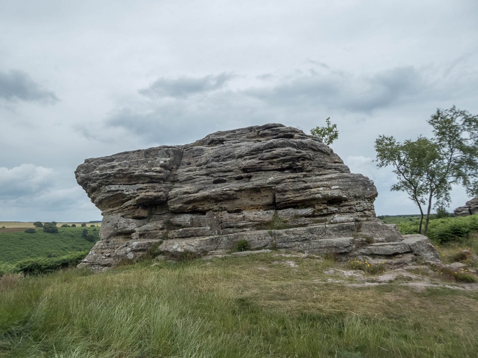 ModerateBridestones Trail at Dalby Forest2.4 km · 1 hr · 3.3 km awayShort, steep circuit to weathered sandstone giants above a moorland valley
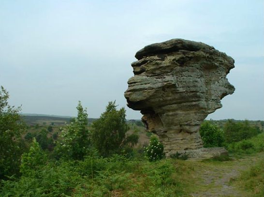 Sight · 3.7 km awayBridestones, Crosscliff and Blakey ToppingJurassic sandstone towers, heather moor and a flat-topped hill to climb
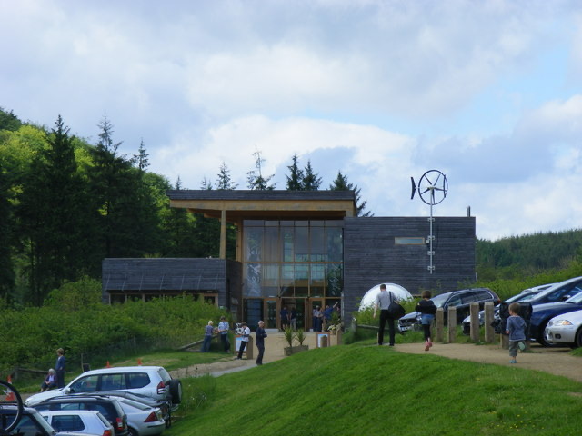 Visitor center · 6.5 km awayDalby Forest Visitor CentreTrail advice, cafe and beckside play at the forest's main hub
 Sight · 7.1 km awayHole of HorcumA 400-foot heather amphitheatre with a short accessible view platform
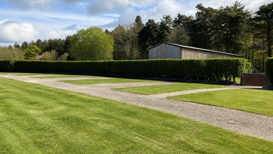 Campground · 8.4 km awayDalby Forest CampsiteFarm-field pitches with moorland views, forest trails and milk vending.
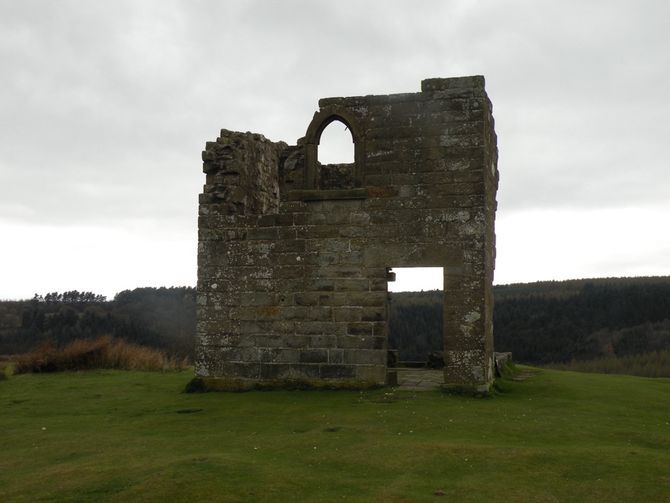 Sight · 9.2 km awaySkelton TowerRuined 1830s shooting lodge perched high above Newtondale's steam railway
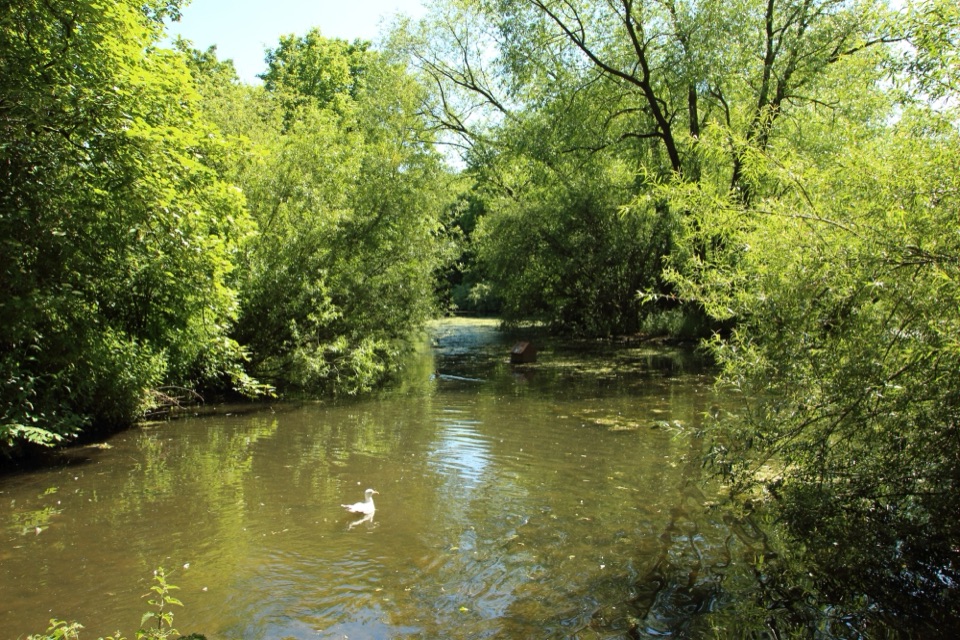 Sight · 11.1 km awayThornton-le-DaleThatched cottage, duck pond and beckside bridges in a two-minute wander
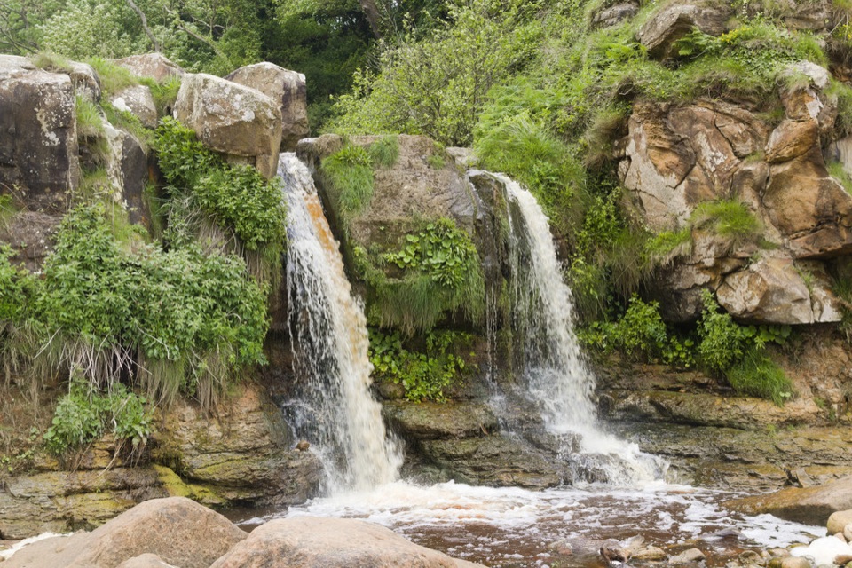 Sight · 11.6 km awayHayburn Wyke WaterfallDouble waterfall spills through wind-twisted oaks onto a pebble cove
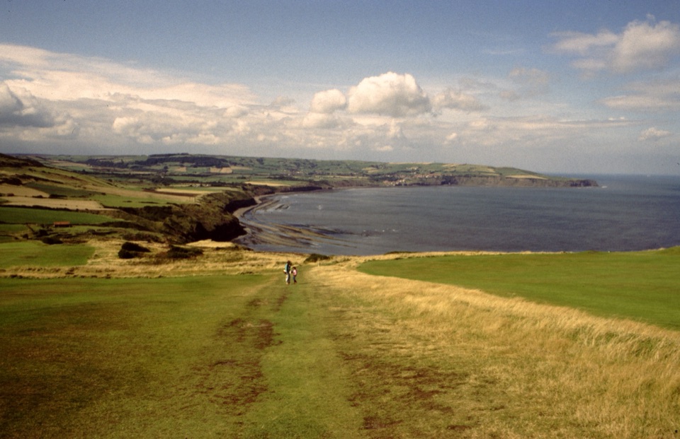 Sight · 12.3 km awayRavenscarThe town that never was, high above Robin Hood's Bay
Parkwolf’s North York Moors ranking

The audio tour guide for the drive, plus offline maps, trails, and wildlife heatmaps for when the signal drops.





