Parking
Roadside parking on Potter's Side Lane, about 3.7 miles east of Kildale; use the Commondale-side access as the start.
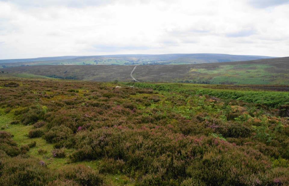
North York Moors National Park, EN
Rough, boggy moorland loop with big views and almost no waymarkers
Overview
A legitimate secondary hike for walkers who actively want open moorland, space and solitude, and who are comfortable navigating and squelching. If you want a more established, better defined trail experience, a waymarked section of the Cleveland Way nearby delivers that instead, though it is point to point and needs different transport planning.
 Parkwolf’s verdictIs it worth your day
Map & elevation
Plan your hike

The highest, rockiest slopes around here are a summer buffet for grizzly bears.
North York Moors Tour Guide
Parkwolf is a GPS audio tour guide for North York Moors National Park. As you drive, it chimes in with what’s ahead: hidden gems, upcoming stops, history, geology, and wildlife, right through your car’s speakers.
Recorded for this area
Danby Castle’s Tudor Connection“Before she became Henry the Eighth's sixth wife, Catherine Parr was married to John Neville, whose family held Danby Castle.”
Plays on the road 1.4 km from the trailhead in the Parkwolf North York Moors Tour Guide.
More stories near here in the app
“Fantastic app with many points of information… It’s great to just turn on while you’re driving and it gives you an audio tour of the national Park. We love it!!!!”


Trail guide
A circuit of 8.7 miles (about 14 km), measured as the full loop rather than one way, typically taking 3.5 to 5 hours with about 4.25 hours a fair planning figure. Difficulty is moderate, 5 out of 10, and most of that comes from footing and navigation rather than steepness.
From the roadside access on Potter's Side Lane near the Commondale side, the walk climbs straight onto open moorland and stays high for a long stretch, crossing rugged ground with broad views. It works its way toward the wooded Guisborough Woods area, then turns back southwest over the moor and drops gradually to the start. Climb and descent come as a series of steady moorland pulls and rolls, not one big ascent, so the effort is spread across the day.
Expect rough, uneven moorland underfoot with wet and boggy patches that are the defining feature of the walk. In winter those sections turn slow and genuinely arduous. The high ground is exposed, with little in the way of shelter once you are up on the moor, so wind and weather are felt directly. Waterproof boots earn their keep here.
This is the honest weak point. Route signage is poor, and while the loop is continuous on the ground, junctions on open moorland are easy to misread. Carry a map and compass or a GPS track and know how to use them. If you would rather follow a line of waymarkers without thinking, pick a different walk.
Drive east from Kildale on Potter's Side Lane for about 3.7 miles to the roadside parking access, which is where the loop begins and ends.
Pets are allowed, but the moor is not a free-roaming space. North York Moors National Park Authority guidance is that dogs must stay on public rights of way across most moorland, must be kept under control around livestock, and must be on a lead shorter than 2 metres from 1 March to 31 July to protect ground-nesting birds, as well as near farm animals.
Wildlife
 15 sightingsEurasian OtterMost seen around 7 PMSighting map
 10 sightingsRed DeerMost seen around 7 AMSighting map
 79 sightingsGrey SealMost seen around noonSighting map
 26 sightingsWestern Barn OwlMost seen around 7 PMSighting map
 33 sightingsEuropean BadgerMost seen around 7 PMSighting map
 10 sightingsMute SwanMost seen around noonSighting map
Sighting maps show where each species has been reported across North York Moors. Wildlife moves, so no sighting is guaranteed.
Keep exploring
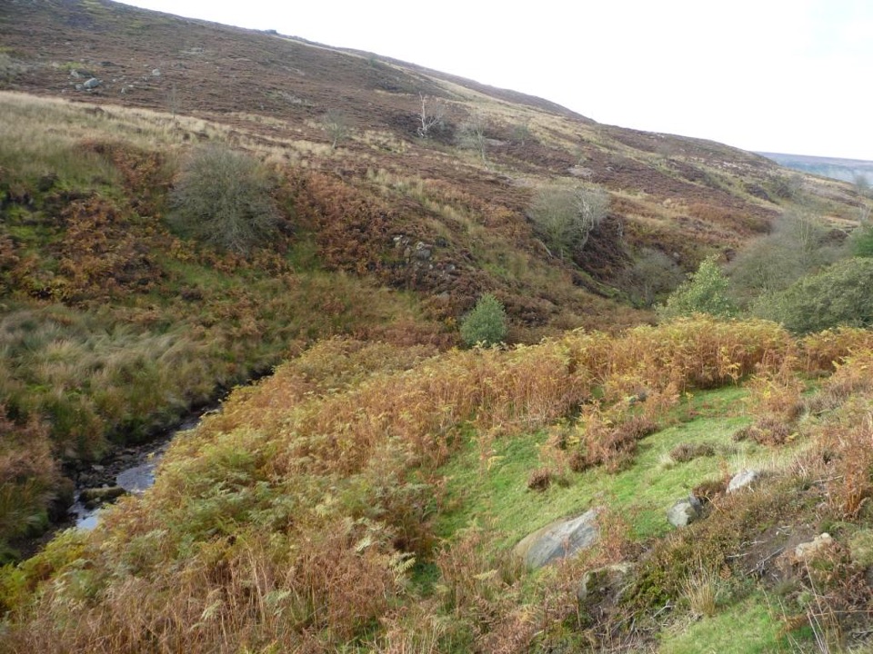 ChallengingEsk Valley Walk59.5 km · 18 hr · 3.1 km awayFollow the Esk from high heather moors down to Whitby harbour
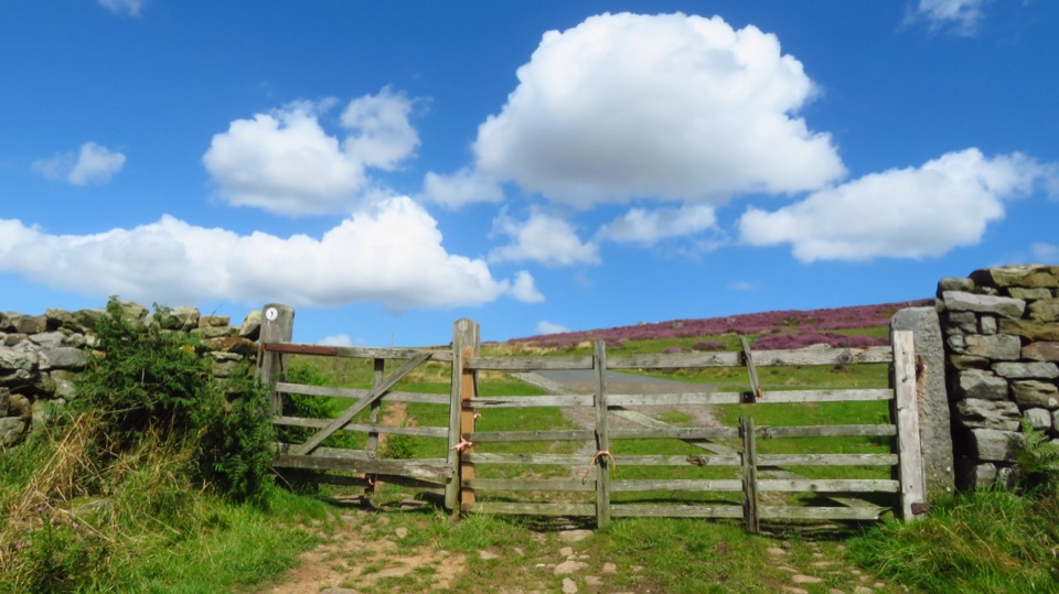 ModerateCastleton to Lealholm (Esk Valley Walk 2)12.1 km · 4 hr · 3.1 km awayWooded valley paths climb to Danby Beacon, then moor down to Lealholm
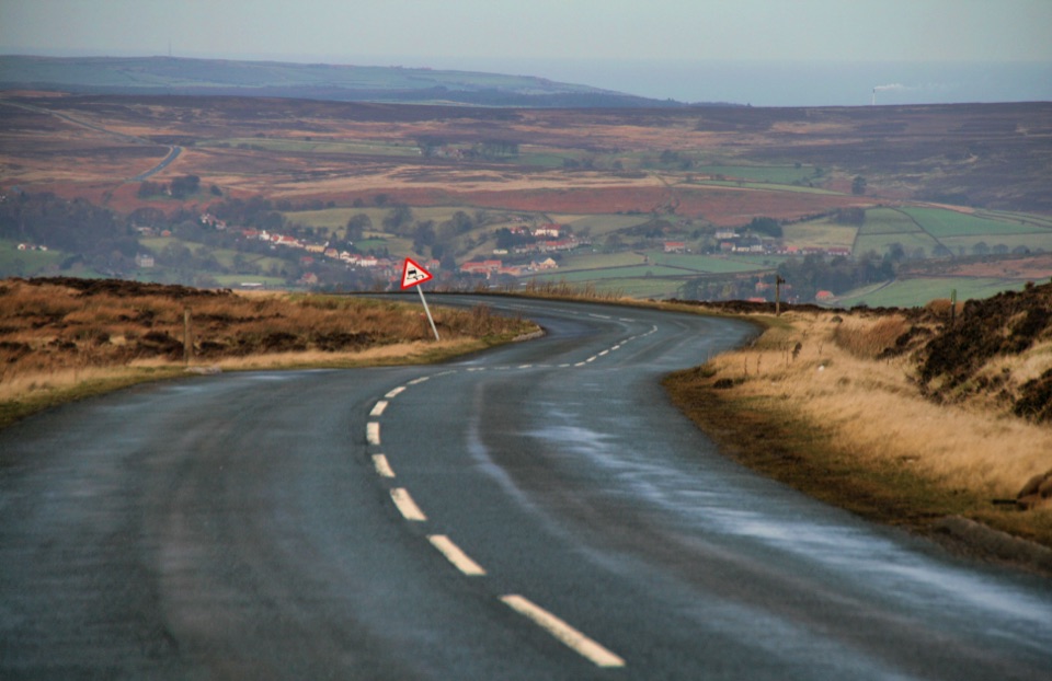 ChallengingDanby Dale, Blakey and Westerdale (Esk Valley Walk 1)24.5 km · 6.5 hr · 3.2 km awayBig moorland loop from Castleton over Blakey Ridge past Fat Betty
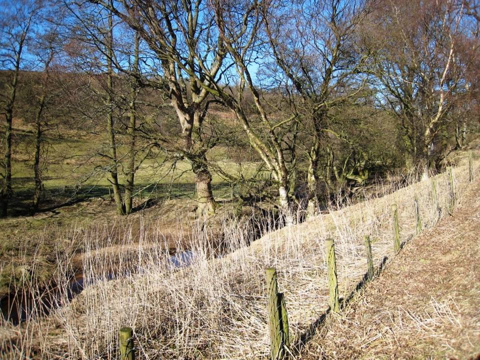 ModerateBaysdale Circular15.3 km · 5.5 hr · 3.2 km awayRemote moorland circuit above Baysdale Beck, past a private abbey site
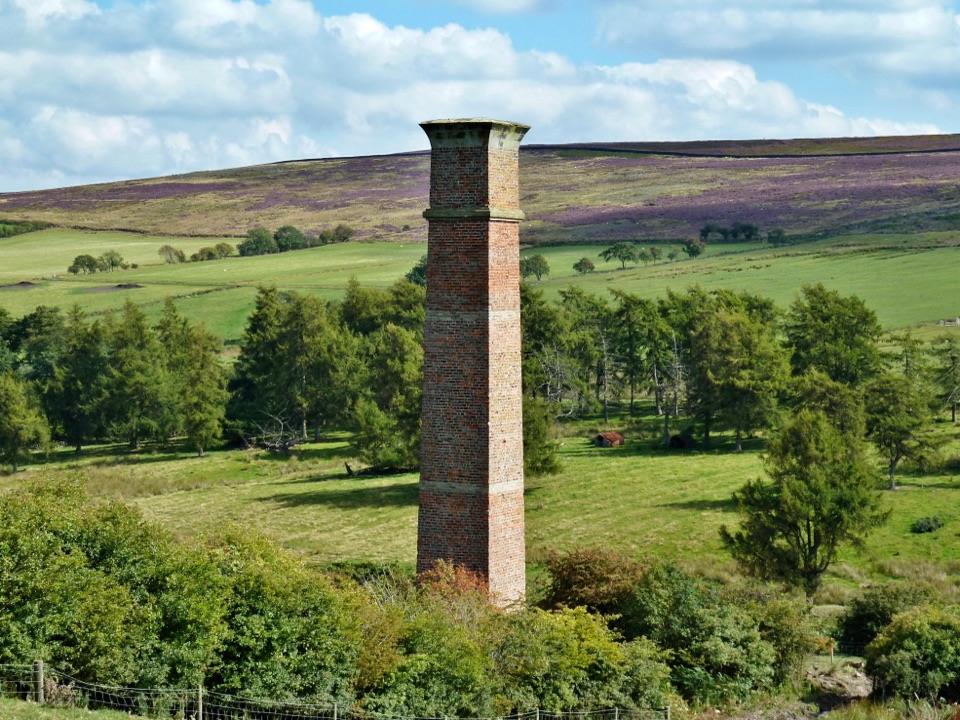 ModerateWarren Moor Mine from Kildale5.3 km · 1.5 hr · 5.6 km awayQuiet lanes and a steep grass descent to a lost ironstone mine
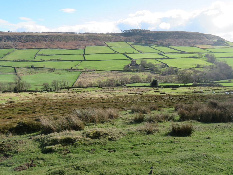 ModerateDanby, Ainthorpe and Little Fryup Dale Walk9 km · 3.3 hr · 6.1 km awayRidge views, a standing stone and a castle above Little Fryup Dale
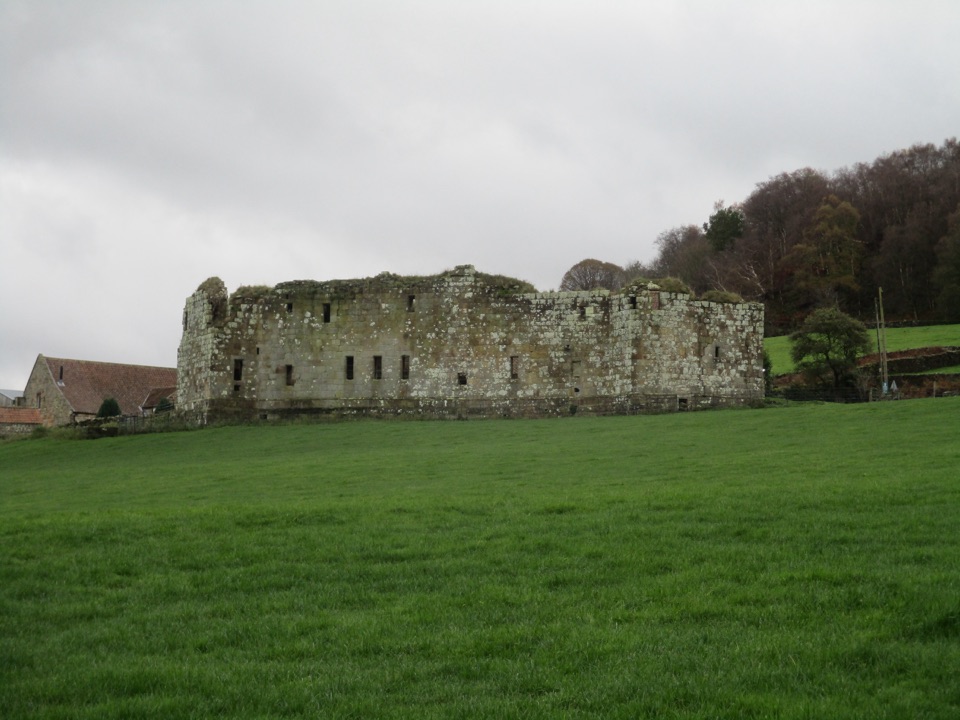 EasyDanby Castle Walk3.7 km · 1 hr · 6.1 km awayA short loop to a castle spur, returning over humpbacked Duck Bridge
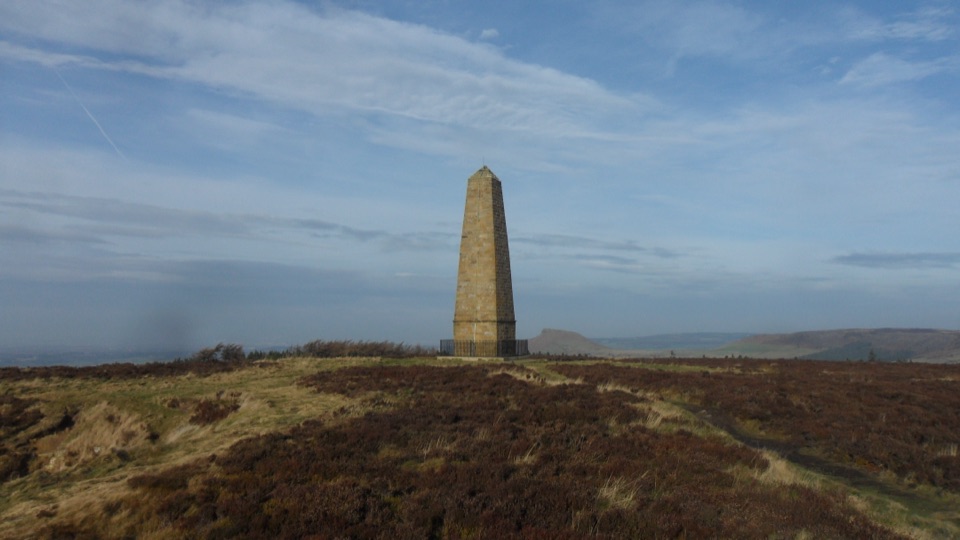 ModerateCaptain Cook's Monument Walk2 km · 1 hr · 6.8 km awayShort uphill climb to an 1827 obelisk with wide Tees Valley views
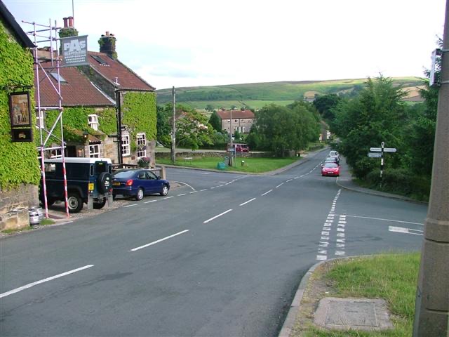 Sight · 5.1 km awayDanbyStone estate cottages where the Esk Valley meets open moorland
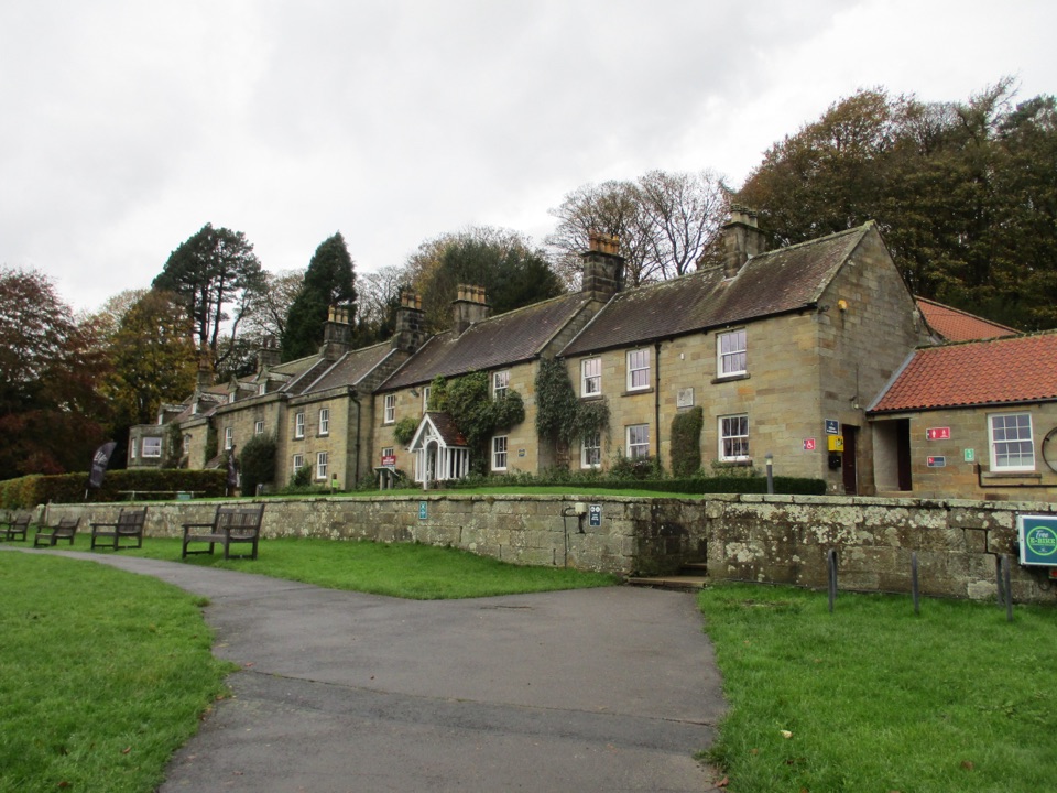 Visitor center · 5.9 km awayDanby Lodge National Park CentreDanby Lodge: riverside grounds, adventure play and ironstone heritage
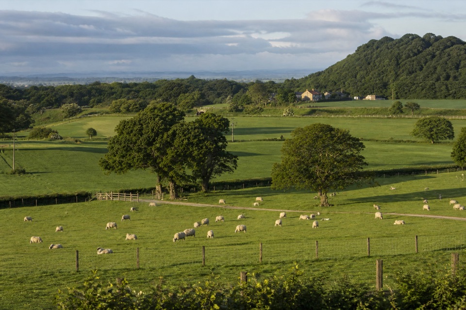 Campground · 6.1 km awayKildale Camping Barn and CampsiteQuiet working-farm pitches a field from the Cleveland Way
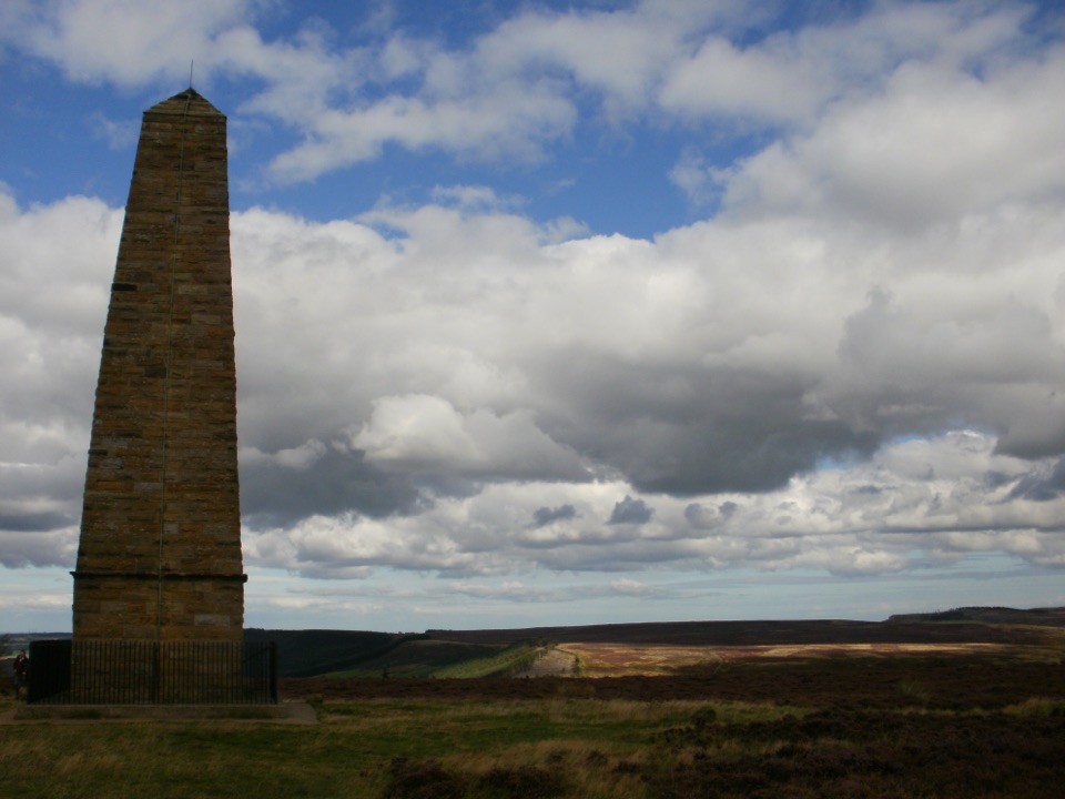 Sight · 7 km awayCaptain Cook's MonumentAn 18-metre sandstone obelisk on open moorland, earned on foot
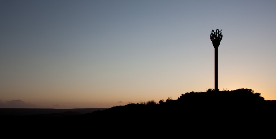 Sight · 7.6 km awayDanby BeaconFlame-shaped steel beacon on high moor, with sweeping coastal views
 Sight · 8.4 km awayRoseberry ToppingSteep half-hour climb to a jagged summit with 360-degree Cleveland views
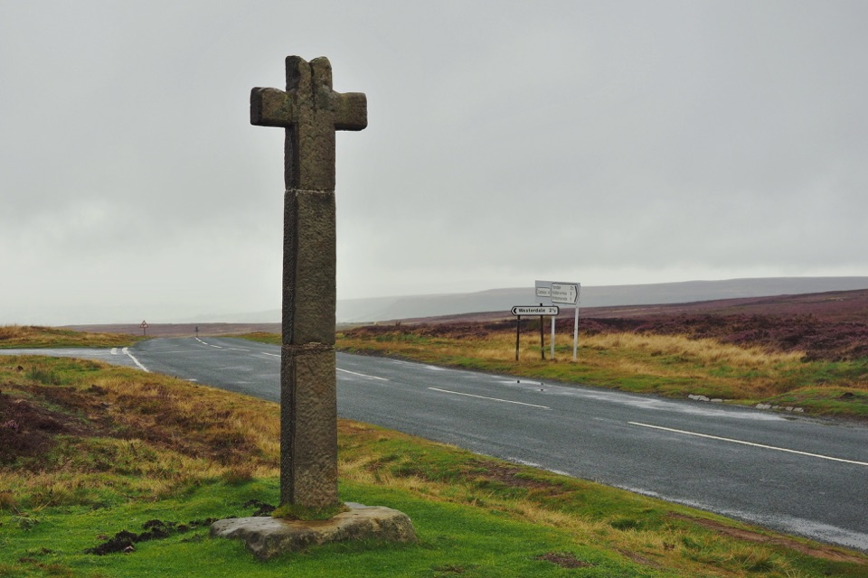 Sight · 8.6 km awayYoung Ralph CrossThe park's emblem in stone, alone on high open moorland
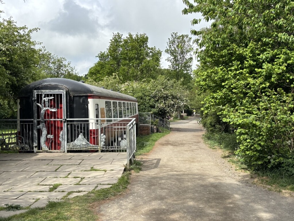 Visitor center · 8.9 km awayGuisborough Forest and Walkway Visitor CentreCafe, play area and sculpture trail beside a flat old railway walkway
Parkwolf’s North York Moors ranking
The audio tour guide for the drive, plus offline maps, trails, and wildlife heatmaps for when the signal drops.





