Parking
Start at Whiskey Bend Trailhead at the end of Whiskey Bend Road, reached from Olympic Hot Springs Road.

Olympic National Park, WA
A steep canyon spur drops to the Elwha’s narrow rocky gate.
Overview
Map & elevation
Plan your hike

The highest, rockiest slopes around here are a summer buffet for grizzly bears.
Olympic Tour Guide
Parkwolf is a GPS audio tour guide for Olympic National Park. As you drive, it chimes in with what’s ahead: hidden gems, upcoming stops, history, geology, and wildlife, right through your car’s speakers.
See the Olympic audio tourMore stories near here in the app
“Fantastic app with many points of information… It’s great to just turn on while you’re driving and it gives you an audio tour of the national Park. We love it!!!!”


Trail guide
Goblins Gate is a 3.6-mile round-trip out-and-back from Whiskey Bend to a narrow rock slot where the Elwha River squeezes through. Plan on about two hours. Most of the approach is a gentle forest walk, but the Rica Canyon descent is steep, and the same climb waits on the way back. The payoff is the rushing river forced through the rocks, not a waterfall.
From Whiskey Bend Trailhead, follow the Elwha River Trail through mature forest. Around 1.2 miles in, turn onto the unsigned Rica Canyon Trail and descend about 0.6 mile toward the river. A short final spur reaches the overlook. Watch for that turn: it is easy to stay on the main valley trail by mistake. Return the same way.
At the overlook, the Elwha is funneled between two large rocks into a tight, turbulent channel. The viewpoint sits above fast water and feels exposed; stay on the established path rather than scrambling down to the river.
James H. Christie’s 1889–90 Seattle Press expedition named the gate for the rocks that looked like guardians at the gorge. The river has changed since two dams were removed from the Elwha by 2014; salmon were spawning in the park again within months of the removal. It is a vivid place to see the river that restoration opened back up.
This description covers the short Whiskey Bend route, not a longer valley outing that approaches from Madison Falls. Pets are not allowed on the hiking trail. The nearest listed picnic area and accessible toilet are at Madison Falls, a separate stop rather than a facility at Goblins Gate.
Wildlife
 710 sightingsOlympic MarmotMost seen around 11 AMSighting map
 30 sightingsHumpback WhaleMost seen around 6 PMSighting map
 42 sightingsGrey WhaleMost seen around noonSighting map
 23 sightingsMountain LionMost seen around 8 PMSighting map
 71 sightingsMountain GoatMost seen around 7 AMSighting map
 306 sightingsBald EagleMost seen around 11 AMSighting map
Sighting maps show where each species has been reported across Olympic. Wildlife moves, so no sighting is guaranteed.
Keep exploring
 ChallengingElwha River Trail to Lake Margaret55.4 mi · 1.2 days · At the trailheadLong Elwha wilderness trek to Lake Margaret with a required river ford.
 ModerateHumes Ranch and Geyser Valley Loop6 mi · 4 hr · At the trailheadRiver flats, canyon forest and a 1905 homestead on one loop.
 ModerateLillian River Trail13 mi · 8.5 hr · At the trailheadA 13-mile forest hike to the quiet banks of Lillian River.
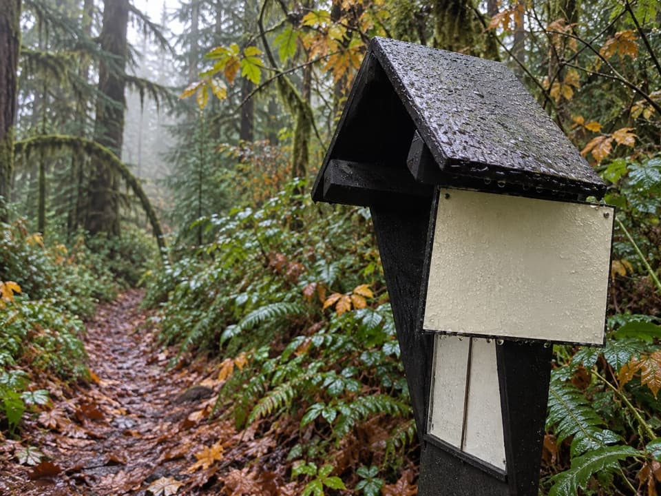 ModerateSmokey Hill Trail0.8 mi · 1.3 hr · 0.4 mi awayA short, steep drop into the Elwha, with the same climb back.
 ChallengingLong Ridge Trail to Dodger Point21 mi · 13 hr · 2.1 mi awayA demanding ridge hike finishes at a 1933 fire lookout.
 ChallengingHappy Lake Trail9.6 mi · 9 hr · 2.3 mi awayA steep ridge climb drops to a grassy alpine lakeshore.
 ChallengingHappy Lake Ridge Trail9.5 mi · 9.5 hr · 2.3 mi awayA steep ridge climb opens to alpine lakes and far-reaching views.
 ModerateSmokey Bottom Trail3.8 mi · 2.5 hr · 2.6 mi awayFollow the Elwha restoration story into the former Lake Mills valley.
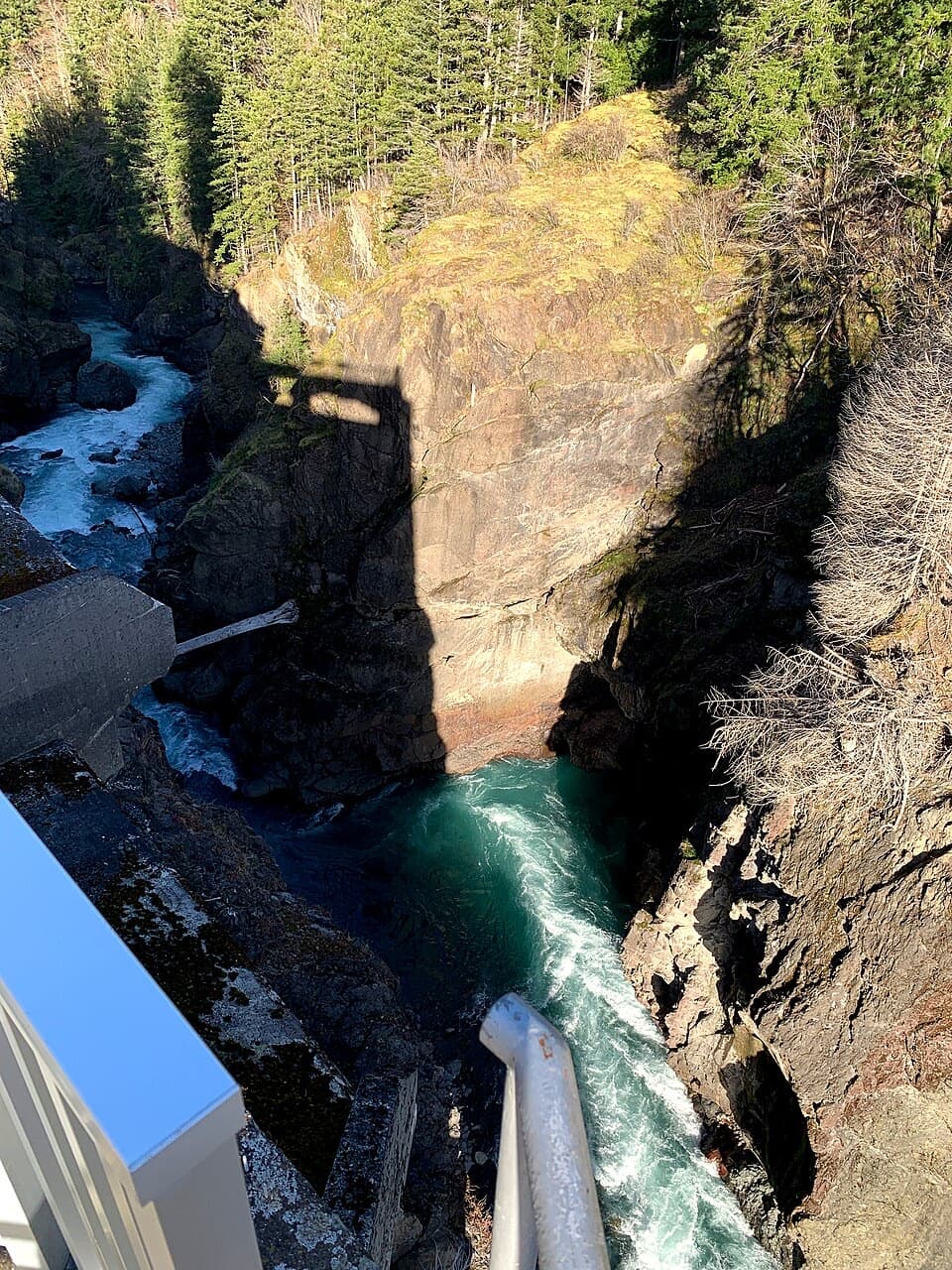 Sight · 2.5 mi awayGlines Canyon Dam OverlookThe reservoir is gone; the river now runs through its canyon.
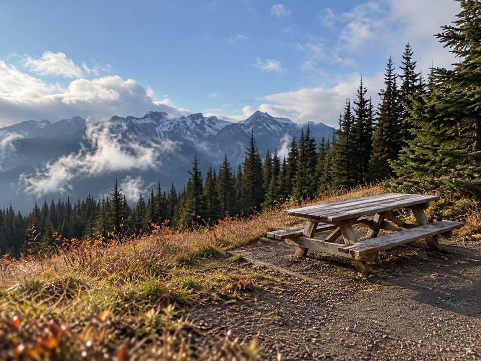 Picnic area · 3.2 mi awayHurricane Hill Picnic Areas A and BA summer picnic stop with mountain views along Hurricane Hill Road.
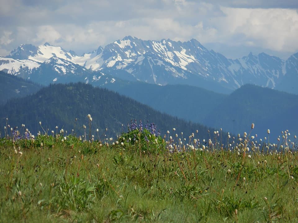 Sight · 3.9 mi awayHurricane RidgeBailey Range views from the road-end meadow.
 Sight · 3.9 mi awayCirque Rim OverlookA quick paved walk to broad views across the Strait.
 Sight · 4.9 mi awayOlympic Hot SpringsA long Elwha Valley walk or bike-and-hike to hot springs.
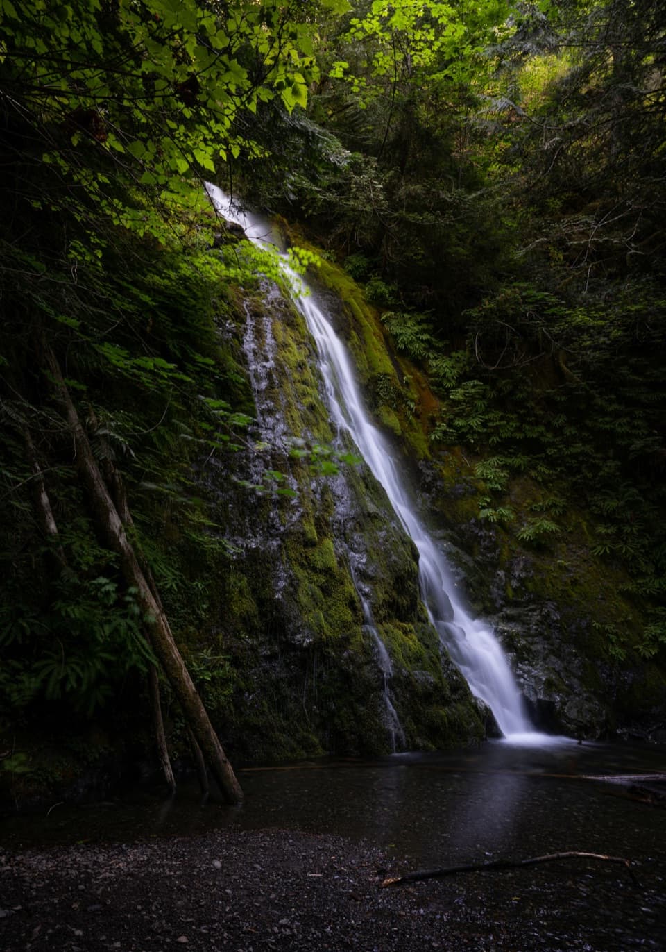 Sight · 5.2 mi awayMadison FallsA short Elwha Valley walk ends below a 60-foot waterfall.
 Campground · 8.5 mi awayHeart O' the Hills CampgroundA quiet forest base for Hurricane Ridge and a woodland walk.
 Sight · 8.5 mi awayMorse Creek OverlookA quick roadside geology stop with an ice-age lake and pillow basalt.
Parkwolf’s Olympic ranking

The audio tour guide for the drive, plus offline maps, trails, and wildlife heatmaps for when the signal drops.





