Moments in Time Trail in Olympic National Park

Olympic National Park, WA

Moments in Time Trail

A mossy forest walk with a short Lake Crescent shoreline stretch.

Photo: National Park Service
Length
1mi
Time
36min
Elevation
Flat
Difficulty
Easy
  • Loop
  • No dogs
  • High point 599 ft
  • #67 of 148 in Olympic

Hear the audio tour

Marymere Falls and Barnes Point

Overview

About Moments in Time Trail

Why go

  • Old-growth forest details and interpretive signs on a short walk
  • A brief shoreline stretch brings Lake Crescent into the loop

Heads up

  • Roots make the hard-packed tread uneven in places
  • Published distances vary with the access and loop version

Map & elevation

The route

Loading the Olympic map
Full map
Elevation586–599 ft
TrailheadStorm King Ranger Station west parking area48.05823, -123.78985
Keep this map with you offline in the Parkwolf app

Plan your hike

Before you go

Parking

Use the large Storm King Ranger Station parking area, signed for Lake Crescent and Marymere Falls. The west end joins the Barnes Point footpath; this mapped route follows it about 0.27 mile to the loop and retraces it afterward. Short access paths also reach the loop from Lake Crescent Lodge and NatureBridge, but those starts change the distance.

Safety

The hard-packed trail has roots and uneven obstacles. It is described as accessible with assistance, not as a uniformly smooth route.

6 active Olympic alerts

  • CautionUS 101 Hoh River Bridge reduced to one laneUS 101 at the Hoh River Bridge is restricted to one lane of alternating traffic; obey the signals and 25 mph speed limit.Official details
  • ClosureStaircase wilderness trails and campsites remain closedWilderness trails and campsites around Staircase remain closed during recovery from the Bear Gulch Fire; the developed Staircase area, including the Rapids Loop, campground, and ranger station, is…Official details
See all 6 alerts
A park ranger sits on a dash-mounted phone, talking, as Parkwolf’s Tour Guide plays “Army Cutworm Moths: A Grizzly Bear Buffet” on Grand Loop Road below Dunraven Pass in Yellowstone
Parkwolf Tour GuideThe highest, rockiest slopes around here are a summer buffet for grizzly bears.

Olympic Tour Guide

Your drive to Moments in Time Trail, narrated.

Parkwolf is a GPS audio tour guide for Olympic National Park. As you drive, it chimes in with what’s ahead: hidden gems, upcoming stops, history, geology, and wildlife, right through your car’s speakers.

See the Olympic audio tour

Recorded for this trailhead

Marymere Falls and Barnes Point
0:00 / 0:32
“You're coming up on Barnes Point, the starting area for Marymere Falls. The walk takes you through mossy old-growth forest to a narrow, ninety-foot drop.”

Plays as you drive up to this trailhead in the Parkwolf Olympic Tour Guide.

More stories near here in the app

  • Lake Crescent Lodge: A Lakeside Break
  • The Chalet That Moved
  • Lake Crescent Scenic Pull-Off
  • Aurora Creek: A Steep Forest Climb
  • 204 audio storiesacross Olympic’s roads, triggered by GPS as you drive
  • Wildlife heatmapsfor Olympic Marmot, Humpback Whale, Grey Whale, and 13 more
  • Works offlinemaps, 148 trails, 94 places, and audio download before you lose signal
  • CarPlay readysimple controls built for the drive
★★★★★
“Fantastic app with many points of information… It’s great to just turn on while you’re driving and it gives you an audio tour of the national Park. We love it!!!!”
JMJamesApp Store review
Download Parkwolf on the App StoreGet Parkwolf on Google Play

4.7 from 8,600+ ratings

Trail guide

Hiking Moments in Time Trail

The Ranger Station routeMoments in Time is a gentle Barnes Point loop beside Lake Crescent, with an old-growth forest…

Moments in Time is a gentle Barnes Point loop beside Lake Crescent, with an old-growth forest path and a short lakeshore stretch. From the west end of the Storm King Ranger Station parking lot, follow the Barnes Point path to the named loop, circle it once, then retrace that approach: about 1.01 miles total, including roughly 0.27 mile each way to the loop. Published loop distances differ—0.6, 0.8 and 0.9 miles—and a 1.6-mile Ranger Station outing adds a Lodge spur. This route follows the mapped approach and loop without that spur, so expect a different total if you start at the Lodge or NatureBridge.

Walk the forestThe hard-packed dirt is easy going overall, but roots and uneven patches keep it from feeling…

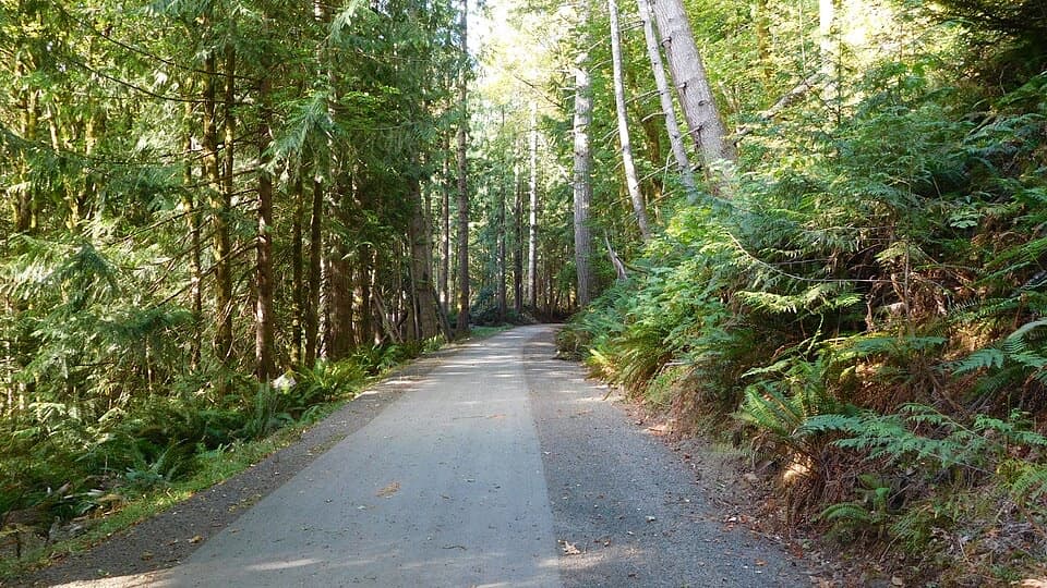
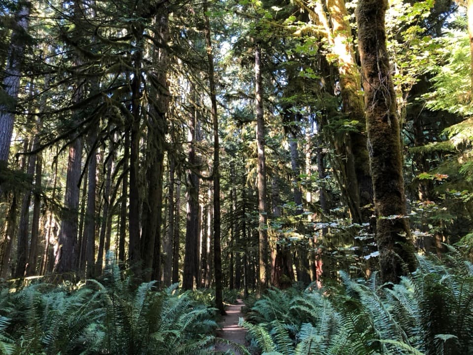
The hard-packed dirt is easy going overall, but roots and uneven patches keep it from feeling like a smooth path. Mossy old trees, lush ferns, fallen nurse logs where young trees take root, and standing dead trunks called snags give the short loop plenty to notice. Interpretive signs point out the remains of a Douglas fir that once measured about 35 feet around.

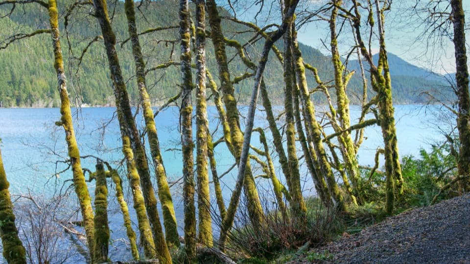
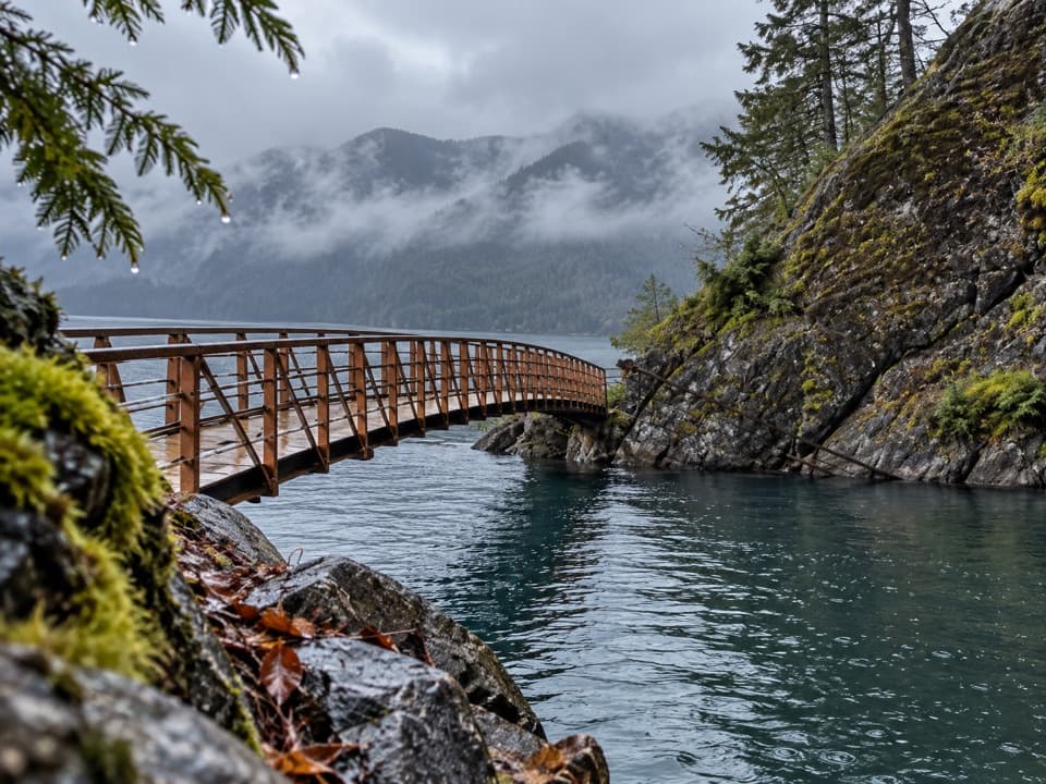
Lake Crescent's edgeOne section reaches the shore and follows it briefly before slipping back under the trees.

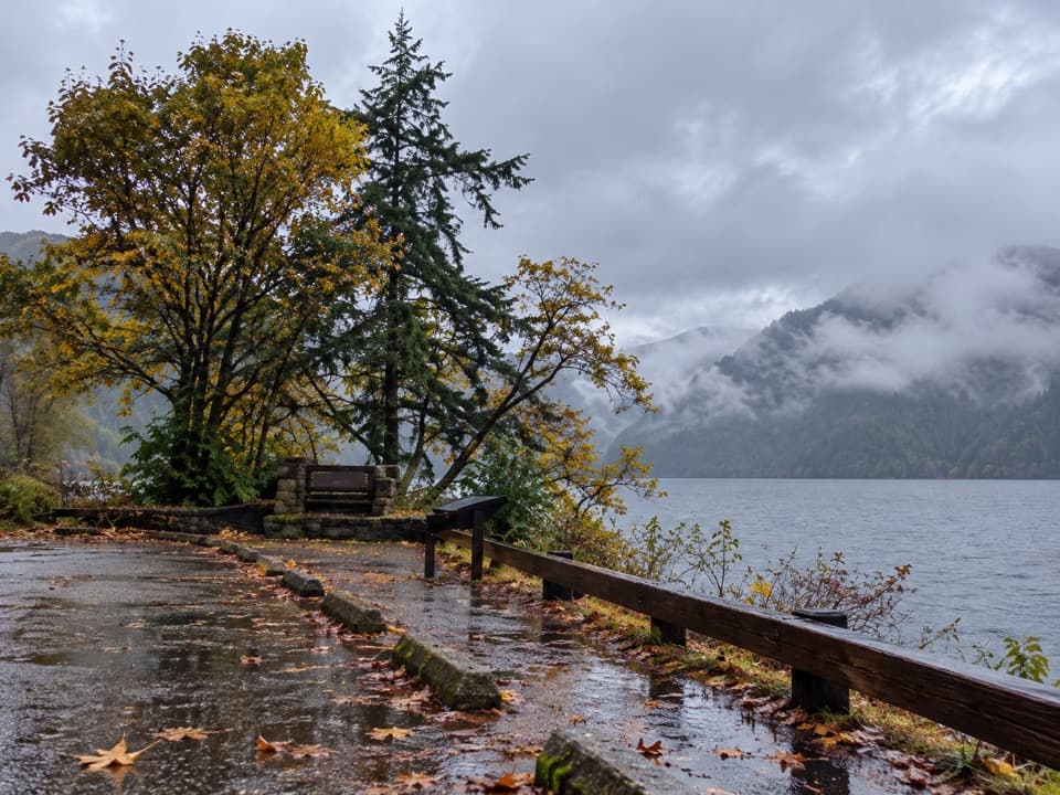
One section reaches the shore and follows it briefly before slipping back under the trees. Lake Crescent sits in a glacier-carved valley. About 7,000 years ago, a landslide separated it from Lake Sutherland; the isolation led to the distinctive Beardslee and Crescenti trout populations found nowhere else.

Effort, access and rulesFor the loop alone, the park estimates 15–30 minutes.

For the loop alone, the park estimates 15–30 minutes. Add time for the Ranger Station approach and the signs; 30–45 minutes is a fair window for this route. The area guide describes the trail as accessible with assistance, but the roots and uneven spots mean it is not uniformly smooth. Pets are not allowed on this park trail; service animals are. Lake Crescent Lodge has a restaurant and boat rentals nearby during its operating season. There is no trail activity fee, though park entrance fees may apply.

Wildlife

Wildlife in Olympic

All Olympic wildlife maps

Sighting maps show where each species has been reported across Olympic. Wildlife moves, so no sighting is guaranteed.

Keep exploring

Near Moments in Time Trail

See it all on the map

Trails that start nearby

Places near the trailhead

Parkwolf’s Olympic ranking

Top-rated trails in Olympic

All 148 trails
  1. 1Hall of Mosses TrailEasy · 0.8 mi
  2. 2Hurricane Hill TrailModerate · 3.3 mi
  3. 3Sol Duc Falls Nature TrailEasy · 1.6 mi
  4. 4High Divide Loop (Seven Lakes Basin)Challenging · 19 mi
  5. 5Hoh River TrailChallenging · 34.8 mi
  6. 6Shi Shi Beach and Point of Arches TrailModerate · 8 mi

Take Parkwolf to Olympic.

The audio tour guide for the drive, plus offline maps, trails, and wildlife heatmaps for when the signal drops.

4.7 from 8,600+ ratings

Download Parkwolf on the App StoreGet Parkwolf on Google Play