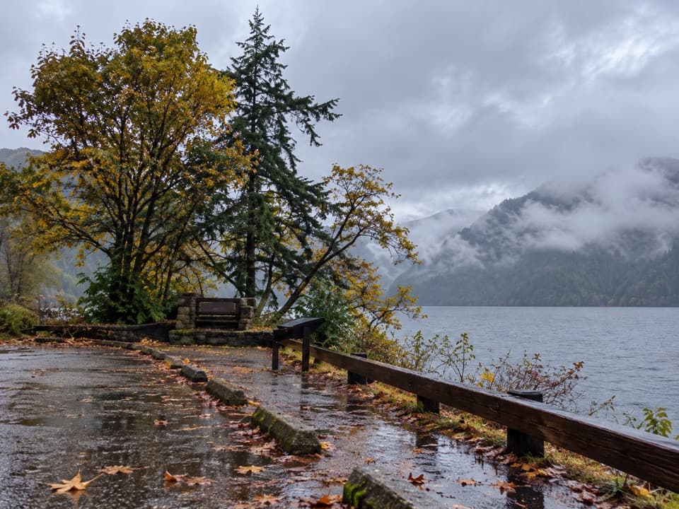
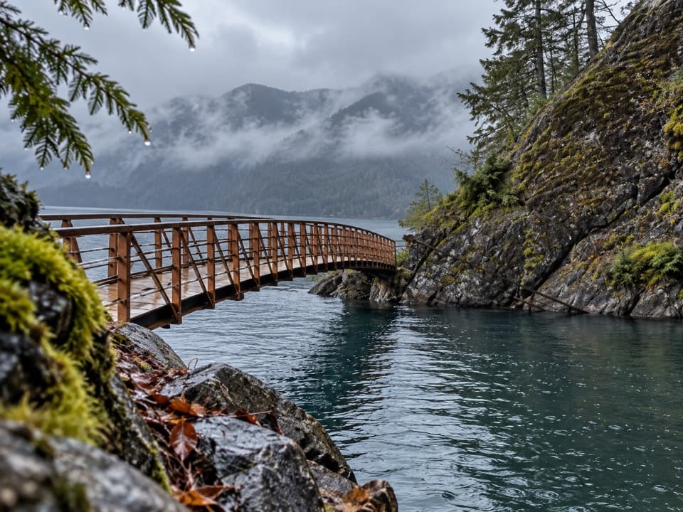
Upper Barnes Creek Primitive Trail in Olympic National Park

Olympic National Park, WA

Upper Barnes Creek Primitive Trail

A hard 18-mile out-and-back to a quiet creek divide.

Length
18.5mi
Time
12hr
Elev. change
3,099ft
Difficulty
Challenging
  • No dogs
  • High point 3,700 ft

Hear the audio tour

Marymere Falls and Barnes Point

Overview

About Upper Barnes Creek Primitive Trail

Why go

  • Mossy old-growth forest with seasonal flowers and berries.
  • A steep optional spur opens broad views over Hughes Creek and the Elwha Valley.

Heads up

  • The full approach and out-and-back is about 18.5 miles.
  • Creek crossings, rough tread and route-finding make it a demanding backcountry hike.

Map & elevation

The route

Loading the Olympic map
Full map
Elevation601–3,700 ft
TrailheadMarymere Falls Trailhead48.05780, -123.78840
Keep this map with you offline in the Parkwolf app

Plan your hike

Before you go

Parking

Use Marymere Falls Trailhead parking at Lake Crescent. Start on Marymere Falls Nature Trail, join Barnes Creek Trail, and follow it 3.3 miles to Upper Barnes. The full out-and-back to the divide is about 18.5 miles. A toilet is available at the trailhead.

Safety

This is a long, unmaintained backcountry route. Lizard Head Creek can be difficult to ford and wayfinding gets harder near the divide. A narrow, loose washout above a steep creek slope was reported about three miles into Barnes Creek; check current conditions. Pets and stock are not allowed. Overnight wilderness trips require a permit and approved bear canister.

6 active Olympic alerts

  • CautionUS 101 Hoh River Bridge reduced to one laneUS 101 at the Hoh River Bridge is restricted to one lane of alternating traffic; obey the signals and 25 mph speed limit.Official details
  • ClosureStaircase wilderness trails and campsites remain closedWilderness trails and campsites around Staircase remain closed during recovery from the Bear Gulch Fire; the developed Staircase area, including the Rapids Loop, campground, and ranger station, is…Official details
See all 6 alerts
A park ranger sits on a dash-mounted phone, talking, as Parkwolf’s Tour Guide plays “Army Cutworm Moths: A Grizzly Bear Buffet” on Grand Loop Road below Dunraven Pass in Yellowstone
Parkwolf Tour GuideThe highest, rockiest slopes around here are a summer buffet for grizzly bears.

Olympic Tour Guide

Your drive to Upper Barnes Creek Primitive Trail, narrated.

Parkwolf is a GPS audio tour guide for Olympic National Park. As you drive, it chimes in with what’s ahead: hidden gems, upcoming stops, history, geology, and wildlife, right through your car’s speakers.

See the Olympic audio tour

Recorded for this area

Marymere Falls and Barnes Point
0:00 / 0:32
“You're coming up on Barnes Point, the starting area for Marymere Falls. The walk takes you through mossy old-growth forest to a narrow, ninety-foot drop.”

Plays near this trailhead in the Parkwolf Olympic Tour Guide.

More stories near here in the app

  • Lake Crescent Lodge: A Lakeside Break
  • The Chalet That Moved
  • Lake Crescent Scenic Pull-Off
  • Aurora Creek: A Steep Forest Climb
  • 204 audio storiesacross Olympic’s roads, triggered by GPS as you drive
  • Wildlife heatmapsfor Olympic Marmot, Humpback Whale, Grey Whale, and 13 more
  • Works offlinemaps, 148 trails, 94 places, and audio download before you lose signal
  • CarPlay readysimple controls built for the drive
★★★★★
“Fantastic app with many points of information… It’s great to just turn on while you’re driving and it gives you an audio tour of the national Park. We love it!!!!”
JMJamesApp Store review
Download Parkwolf on the App StoreGet Parkwolf on Google Play

4.7 from 8,600+ ratings

Trail guide

Hiking Upper Barnes Creek Primitive Trail

Know the real distanceUpper Barnes Creek Primitive Trail is a rough 5.

Upper Barnes Creek Primitive Trail is a rough 5.3-mile climb, one way, from the Barnes Creek junction to the divide between Barnes and Hughes creeks. The full out-and-back from Marymere Falls Trailhead is about 18.5 miles, because you first follow the Marymere Falls Nature Trail and then walk the 3.3-mile lower Barnes Creek connector to the upper junction. Expect about 3,300 feet of climbing and a very long day; the 5.3-mile figure is only the upper segment.

Follow the creek into the forestThe route starts on the Marymere Falls Nature Trail, joins Barnes Creek, and follows the lower…

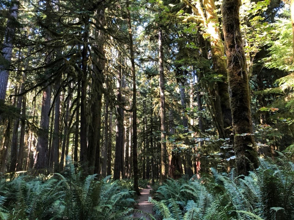
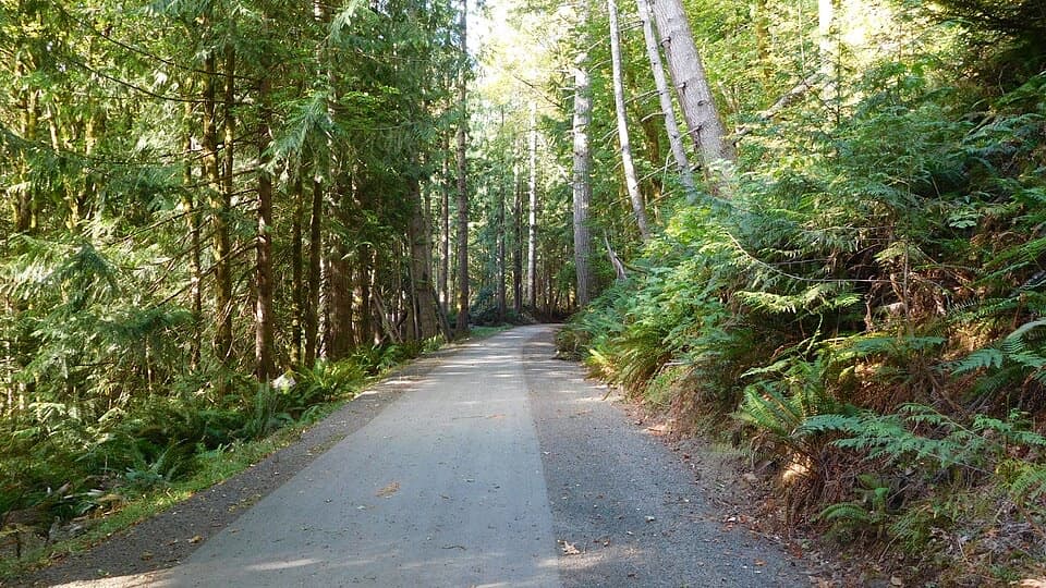
The route starts on the Marymere Falls Nature Trail, joins Barnes Creek, and follows the lower trail to the Upper Barnes junction. From there the primitive path keeps climbing toward the divide, rolling up more than it drops. Most of the walk is mossy forest with Douglas-fir and western hemlock. The upper trail gets rougher near the ridge and can be hard to follow near its end, where the track fades among dark, stunted hemlocks.

Crossings and footingExpect creek fords and seeps along the Barnes Creek route.

Expect creek fords and seeps along the Barnes Creek route. Lizard Head Creek can be a difficult crossing, and the last stretch needs careful route-finding. A narrow, washed-out tread above a steep creek slope has been reported around three miles into the Barnes Creek route; it’s a serious spot for anyone uneasy on loose, exposed footing. Conditions can change, so check the park’s current trail report before leaving.

The extra climb to Lookout DomeNear the upper trail’s end, a steep fork climbs about half a mile to Lookout Dome.

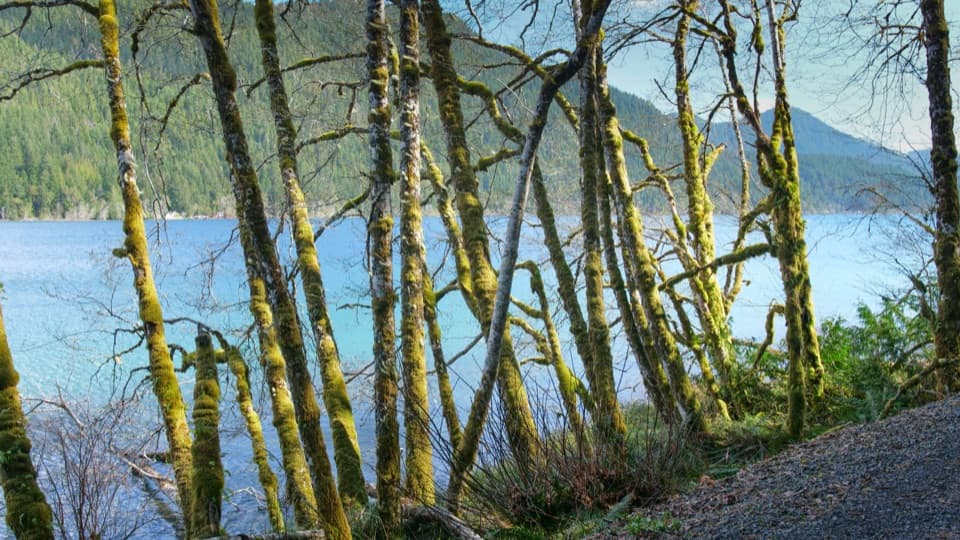
Near the upper trail’s end, a steep fork climbs about half a mile to Lookout Dome. It adds roughly a mile out and back, but gives a much better look into Hughes Creek valley, along Baldy Ridge and over the Elwha Valley. Through the trees you may also catch Lake Crescent and, on a clear day, the Strait. The divide itself is a quieter, forested turning point; the big view is the optional spur.

Forest color through the yearThis is a good walk for people who like the forest as much as a summit.

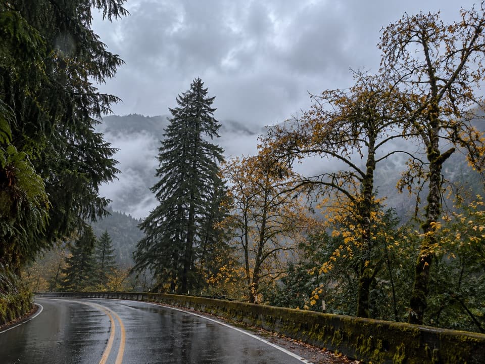
This is a good walk for people who like the forest as much as a summit. The older Douglas-fir and hemlock stand beside younger trees that show the valley’s fire history. Bunchberry and starflower bloom in spring; pipsissewa, huckleberries and blueberries arrive in summer; vine maple brings ochre color in fall.

Access, permits and petsPark at Marymere Falls Trailhead on Lake Crescent and follow the nature trail to Barnes Creek.

Park at Marymere Falls Trailhead on Lake Crescent and follow the nature trail to Barnes Creek. The parking area has a toilet. Overnight wilderness trips require a permit year-round and food must be stored in an approved bear canister. Pets are not allowed on this trail; stock are prohibited too.

Wildlife

Wildlife in Olympic

All Olympic wildlife maps

Sighting maps show where each species has been reported across Olympic. Wildlife moves, so no sighting is guaranteed.

Keep exploring

Near Upper Barnes Creek Primitive Trail

See it all on the map

Trails that start nearby

Places near the trailhead

Parkwolf’s Olympic ranking

Top-rated trails in Olympic

All 148 trails
  1. 1Hall of Mosses TrailEasy · 0.8 mi
  2. 2Hurricane Hill TrailModerate · 3.3 mi
  3. 3Sol Duc Falls Nature TrailEasy · 1.6 mi
  4. 4High Divide Loop (Seven Lakes Basin)Challenging · 19 mi
  5. 5Hoh River TrailChallenging · 34.8 mi
  6. 6Shi Shi Beach and Point of Arches TrailModerate · 8 mi

Take Parkwolf to Olympic.

The audio tour guide for the drive, plus offline maps, trails, and wildlife heatmaps for when the signal drops.

4.7 from 8,600+ ratings

Download Parkwolf on the App StoreGet Parkwolf on Google Play