Parking
Access the east end from Camp David Jr. Road at its dead end, where the extension meets the Spruce Railroad Trail. The west ODT junction is a through-route connection, so plan onward transport before starting.
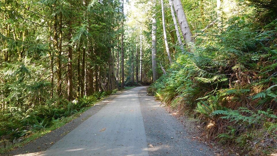
Olympic National Park, WA
A paved wheelchair-accessible link follows Lake Crescent’s north shore.
Overview
Map & elevation
Plan your hike

The highest, rockiest slopes around here are a summer buffet for grizzly bears.
Olympic Tour Guide
Parkwolf is a GPS audio tour guide for Olympic National Park. As you drive, it chimes in with what’s ahead: hidden gems, upcoming stops, history, geology, and wildlife, right through your car’s speakers.
See the Olympic audio tourRecorded for this trailhead
Olympic Discovery Trail: The Westward Link“You're nearing the Olympic Discovery Trail access at the end of Camp David Junior Road. It's a paved, wheelchair-accessible route through the woods, shared with cyclists and horses.”
Plays as you drive up to this trailhead in the Parkwolf Olympic Tour Guide.
More stories near here in the app
“Fantastic app with many points of information… It’s great to just turn on while you’re driving and it gives you an audio tour of the national Park. We love it!!!!”


Trail guide
This is the 6.5-mile paved point-to-point leg of the Olympic Discovery Trail along Lake Crescent’s north shore. It starts at the Camp David Jr. Road dead end, where it meets the separate Spruce Railroad Trail, then runs west through a wooded corridor to the ODT’s western junction near US 101. The pavement is wheelchair accessible, and walkers share it with cyclists and horses.
This is one way, not a loop. Without a ride at the west end, retracing the extension makes a 13-mile day. The west end joins the broader ODT network, so arrange a pickup or onward route before you start. From East Beach, reach the extension by following the separate Spruce Railroad Trail west for four miles first.
This north-shore ODT corridor follows the historic Spruce Railroad grade. The line was built in 1918 to haul aircraft-quality Sitka spruce for World War I biplanes, but the war ended before local mills processed the wood for that use. It later carried freight and logs before being abandoned in 1951. The restored tunnels are east on the separate Spruce Railroad Trail; they aren’t part of this westward extension.
Wildlife
 710 sightingsOlympic MarmotMost seen around 11 AMSighting map
 30 sightingsHumpback WhaleMost seen around 6 PMSighting map
 42 sightingsGrey WhaleMost seen around noonSighting map
 23 sightingsMountain LionMost seen around 8 PMSighting map
 71 sightingsMountain GoatMost seen around 7 AMSighting map
 306 sightingsBald EagleMost seen around 11 AMSighting map
Sighting maps show where each species has been reported across Olympic. Wildlife moves, so no sighting is guaranteed.
Keep exploring
 ChallengingPyramid Peak Trail7 mi · 4.5 hr · 1 mi awayA steep climb to a WWII lookout above Lake Crescent.
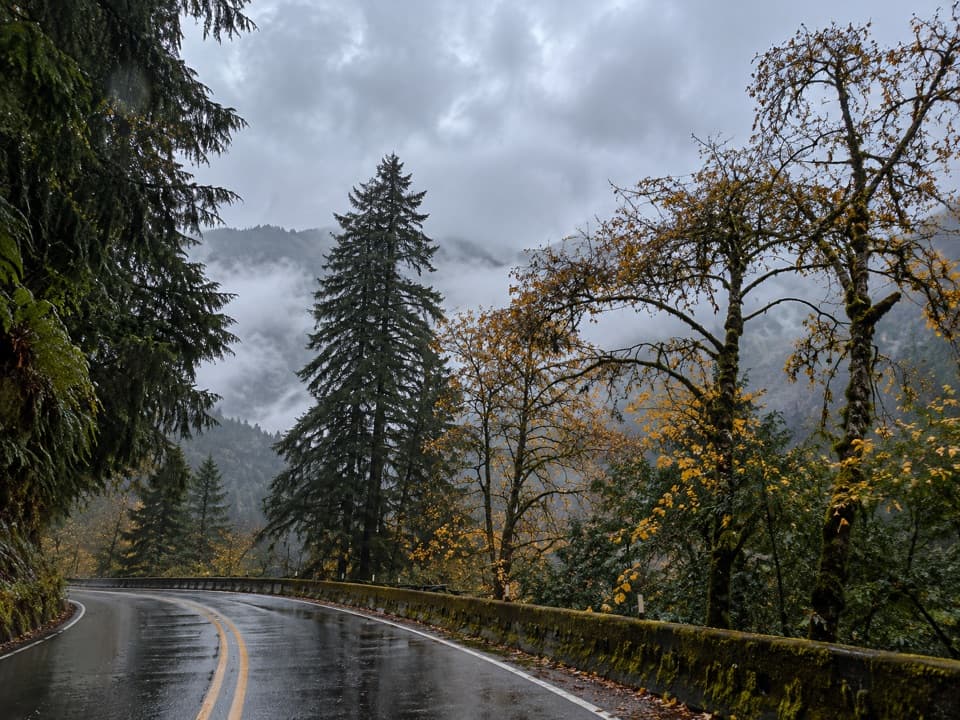 ChallengingAurora Creek Trail6.8 mi · 6 hr · 1.1 mi awayA shaded leg-burner to the Aurora Ridge junction.
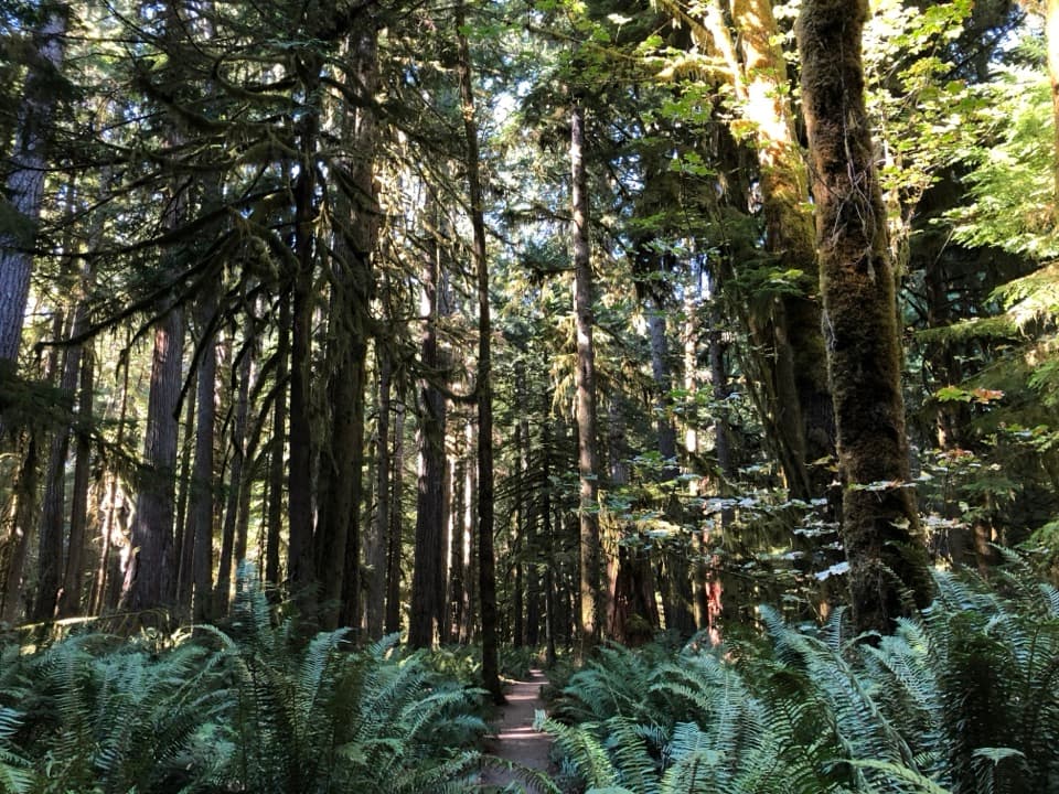 EasyMoments in Time Trail1 mi · 36 min · 2.4 mi awayA mossy forest walk with a short Lake Crescent shoreline stretch.
 ChallengingMount Storm King Trail4.4 mi · 4.5 hr · 2.4 mi awaySteep switchbacks end at a tree-framed Lake Crescent view.
 ModerateMarymere Falls Trail1.8 mi · 1.3 hr · 2.4 mi awayOld-growth forest leads to close views of a 90-foot waterfall
 ChallengingAurora Divide Trail14.5 mi · 11.5 hr · 2.4 mi awayA long forest climb reaches a ridge above Lake Crescent.
 ChallengingUpper Barnes Creek Primitive Trail18.5 mi · 12 hr · 2.4 mi awayA hard 18-mile out-and-back to a quiet creek divide.
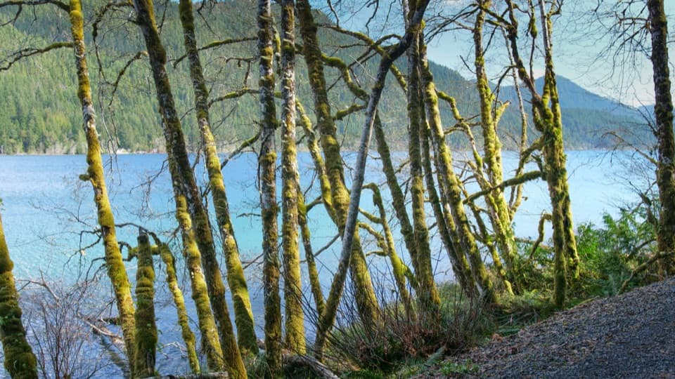 EasySpruce Railroad Trail4 mi · 2 hr · 2.4 mi awayWalk a paved old railroad grade beside Lake Crescent.
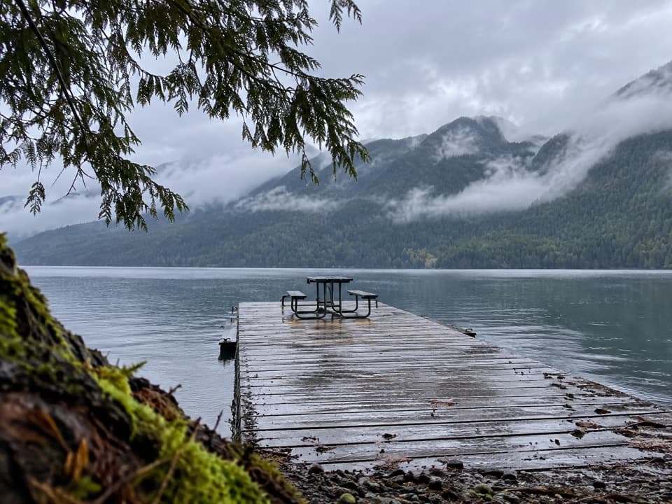 Picnic area · 0.9 mi awayNorth Shore Day Use AreaA dockside picnic break on a deep, glacial lake.
 Picnic area · 1.8 mi awayLa Poel Picnic AreaFire rings, tree shade, and a glimpse of Lake Crescent.
 Lodging · 1.9 mi awayLake Crescent LodgeA 1916 lodge for slow days on Lake Crescent.
 Picnic area · 2.1 mi awayBovee's MeadowCross the meadow for a picnic beside Lake Crescent.
 Ranger station · 2.4 mi awayStorm King Ranger StationA historic log cabin with stories of Lake Crescent ferries and trout.
 Sight · 2.5 mi awayStorm King Boat LaunchA short dock stop for clear water and mountain views.
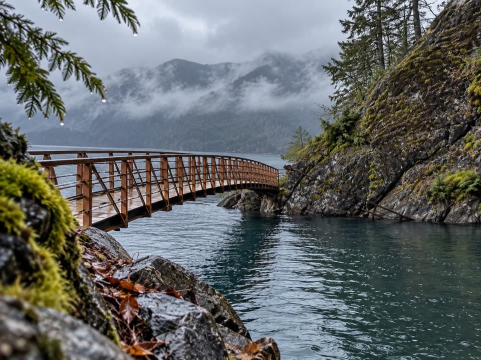 Sight · 2.6 mi awayDevils PunchbowlA clear-water cove framed by a curved footbridge.
 Sight · 2.6 mi awayMarymere FallsA mossy old-growth walk ends at a two-level waterfall view.
Parkwolf’s Olympic ranking

The audio tour guide for the drive, plus offline maps, trails, and wildlife heatmaps for when the signal drops.





