Parking
Start at the Rialto Beach parking area at the end of Mora Road. Parking is limited and can fill around popular low-tide windows; no overflow arrangement was verified.

#7 of 148 trails in Olympic
Olympic National Park, WA
A low-tide walk to tidepools, sea stacks and a rock arch
Overview
Map & elevation
Plan your hike

The highest, rockiest slopes around here are a summer buffet for grizzly bears.
Olympic Tour Guide
Parkwolf is a GPS audio tour guide for Olympic National Park. As you drive, it chimes in with what’s ahead: hidden gems, upcoming stops, history, geology, and wildlife, right through your car’s speakers.
See the Olympic audio tourRecorded for this trailhead
Rialto Beach: A Short Stop or a Coastal Walk“You're coming up on Rialto Beach. The ocean view starts about two hundred feet from the parking lot, so this works as a quick stop for surf, sea stacks, and giant driftwood.”
Plays as you drive up to this trailhead in the Parkwolf Olympic Tour Guide.
More stories near here in the app
“Fantastic app with many points of information… It’s great to just turn on while you’re driving and it gives you an audio tour of the national Park. We love it!!!!”


Trail guide
Rialto Beach to Hole-in-the-Wall is an out-and-back along the open shore, from the beach parking area to a natural sea arch. Plan on about 3.3 miles round trip; the arch is roughly 1.5 miles north, then you return the same way. There is no continuous built footpath: the beach itself is the trail, changing between sand, pebbles, rock and driftwood. The overall grade is low, but loose stones and big logs make it slower and more tiring than an ordinary flat path. Allow about three hours if you want time to watch the tide and explore the pools. Choose it for a few hours on the coast; if you want a firm, even surface, make this a shorter beach visit.
The arch is not an all-tide destination. Check the tide table for Rialto before you leave, plan to arrive at least 30 minutes before the lowest tide, and aim for a tide below one foot if tidepools are the reason for going. The incoming tide can cover the arch floor; do not pass through once water covers it. At higher water, an overland path above the arch offers a view from the south, but it does not make the arch passage or tidepools safe. Algae-coated rocks are extremely slippery, and falling rock is a hazard beneath the wave-battered arch, so keep out from under it.
From the lot, walk north along the waterline. Sand gives way to small stones and pebbles, with driftwood logs, cobbles and wave-washed rock to work around. The beach changes constantly, so there is no single track to follow and the easiest line can change with surf and tide. Around a mile in, Ellen Creek cuts across the beach. It may be crossed on a log or by wading; water depth and speed change with conditions, and rain can make the flow faster. Do not assume a log will be there or the water shallow. Be ready to turn around if the crossing is unsafe.
Hole-in-the-Wall comes into view at the north end, where the beach narrows around a dark rock wall and its sea arch. At a suitably low tide, the adjacent pools may reveal sea anemones, sea stars, crabs and urchins. Look south for James and Little James islands and Gunsight Rock, with offshore stacks along the way. Leave tidepool life and seaweed in place. From outside the arch, a sea stack framed through the opening makes a strong view; include the pebbled shore or surf at the bottom to show its scale.
This is part of Olympic's protected wilderness shoreline. The park describes the coast as ancestral cedar-canoe country, between local tribal fishing villages; Congress designated much of Olympic as wilderness in 1988. Seals, sea lions, sea otters, whales, seabirds and eagles use this coast, though sightings are seasonal and never guaranteed.
Start at Rialto Beach parking at the end of Mora Road. Parking is limited and can fill around popular low-tide windows, so leave time to park before your tide window. Accessible restrooms and a paved picnic area with tables are by the beach. Bring drinking water; reports conflict about whether the restroom faucet has water. No food service was found at the lot or along the walk. Leashed pets may go from the parking area only as far as Ellen Creek; they are prohibited beyond it, so this full hike is for people without pets. An overnight coast trip requires a wilderness permit. The park lists April through October as the best season, but tide planning matters year-round.
Wildlife
 710 sightingsOlympic MarmotMost seen around 11 AMSighting map
 30 sightingsHumpback WhaleMost seen around 6 PMSighting map
 42 sightingsGrey WhaleMost seen around noonSighting map
 23 sightingsMountain LionMost seen around 8 PMSighting map
 71 sightingsMountain GoatMost seen around 7 AMSighting map
 306 sightingsBald EagleMost seen around 11 AMSighting map
Sighting maps show where each species has been reported across Olympic. Wildlife moves, so no sighting is guaranteed.
Keep exploring
 EasyQuillayute River Slough Trail1.4 mi · 1 hr · 1.7 mi awayA mossy forest walk opens to a quiet river view
 EasyJames Pond Trail0.4 mi · 15 min · 1.7 mi awayA flat forest loop where the pond can be hard to spot
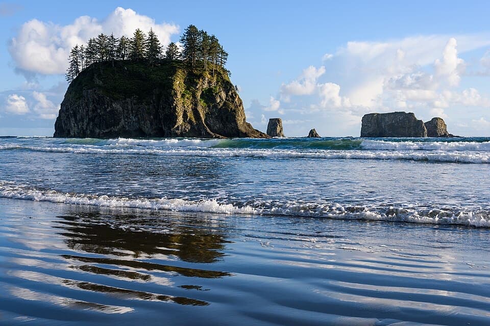 EasySecond Beach Trail1.4 mi · 1.5 hr · 1.7 mi awayA rooty forest trail drops to tide pools beneath sea stacks.
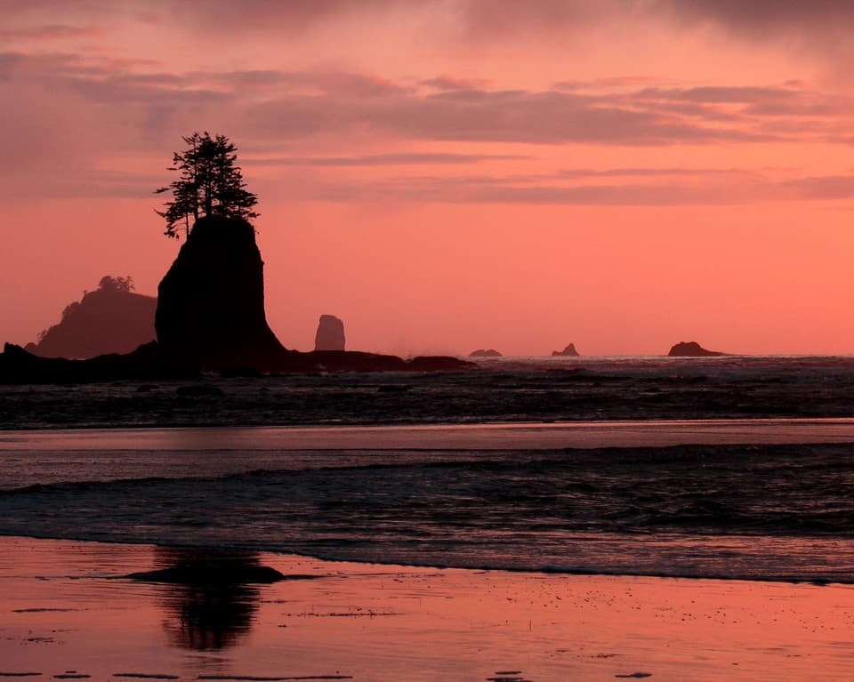 EasyThird Beach Trail2.8 mi · 2 hr · 2.8 mi awayA forest path drops to a driftwood beach and sea stacks.ChallengingSouth Coast Route17 mi · 16 hr · 2.8 mi awayA 17-mile tide-timed traverse past sea stacks, ladders and remote coves.
 ChallengingAllens Bay Route2.2 mi · 3 hr · 9.9 mi awayA rough lake-to-coast route to a remote shipwreck memorial.
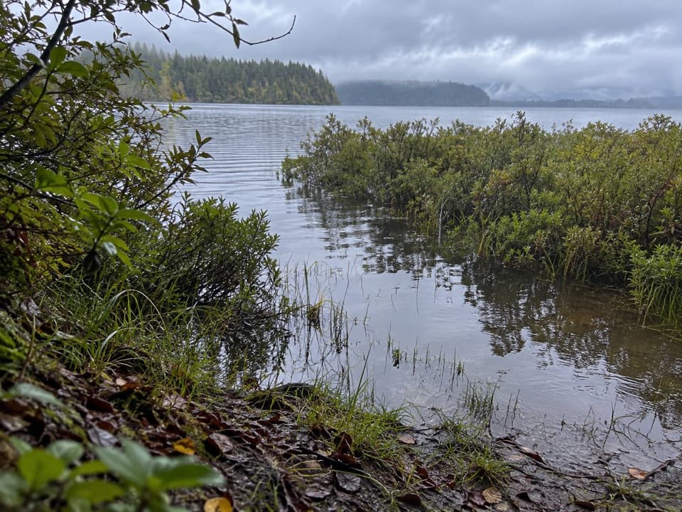 ModerateEricson's Bay Primitive Trail2 mi · 1.5 hr · 14 mi awayA remote, flat coast-to-lake walk on slick old boardwalk.
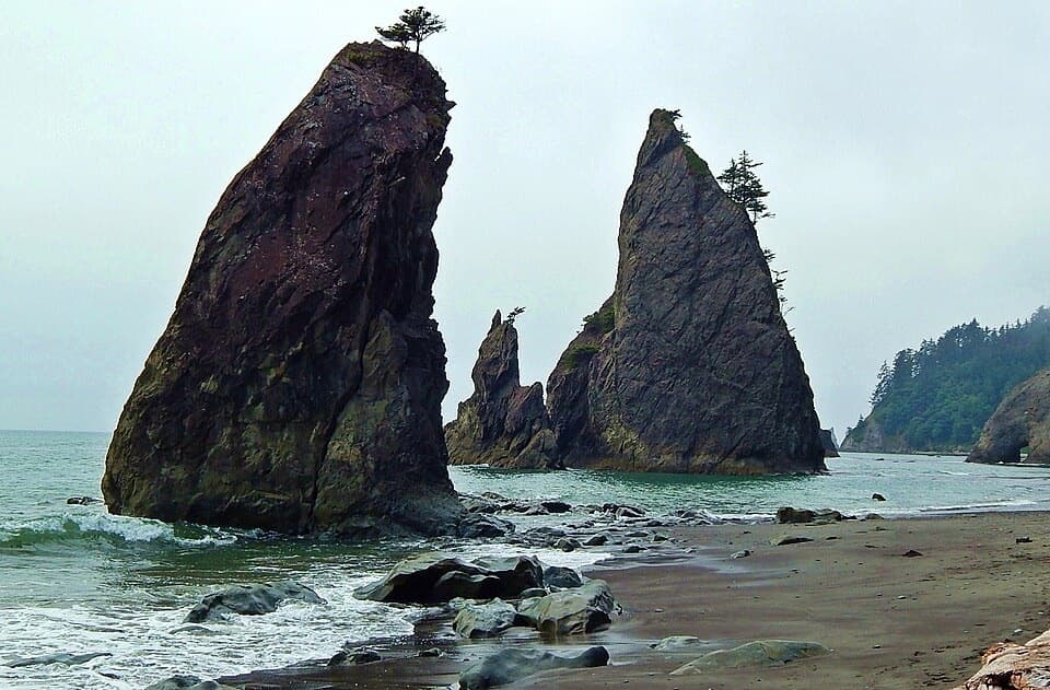 ChallengingNorth Coast Route: Sand Point to Rialto Beach17.3 mi · 13 hr · 14.6 mi awaySea stacks and shipwreck memorials, with tides setting the pace
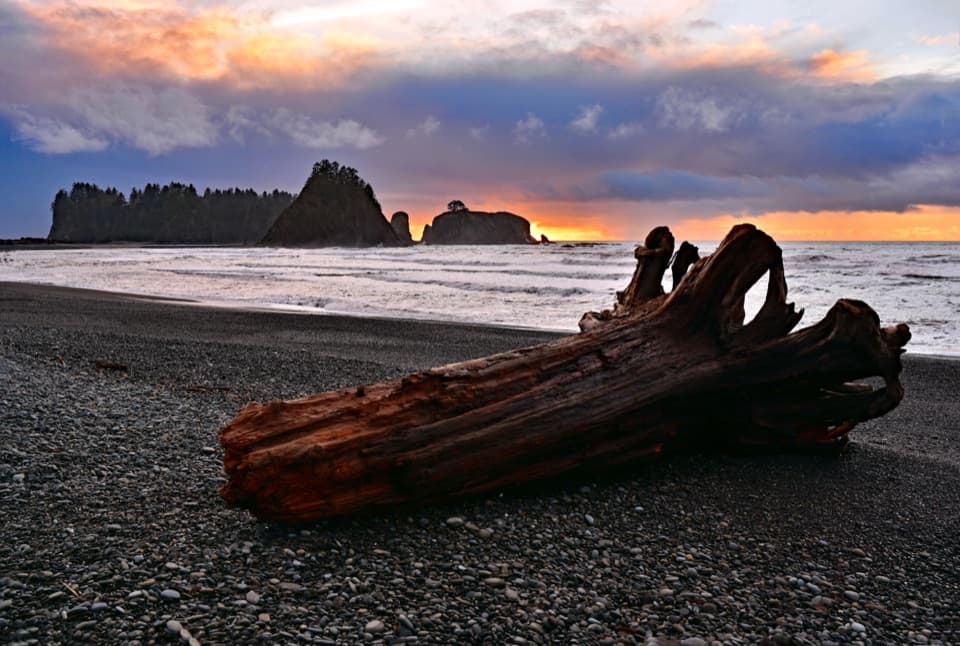 Beach · At the trailheadRialto BeachSea stacks, surf and giant driftwood crowd this rugged shore.
 Beach · 1.3 mi awayFirst Beach, La PushAn easy shore walk, with driftwood and sea stacks on Quileute land.
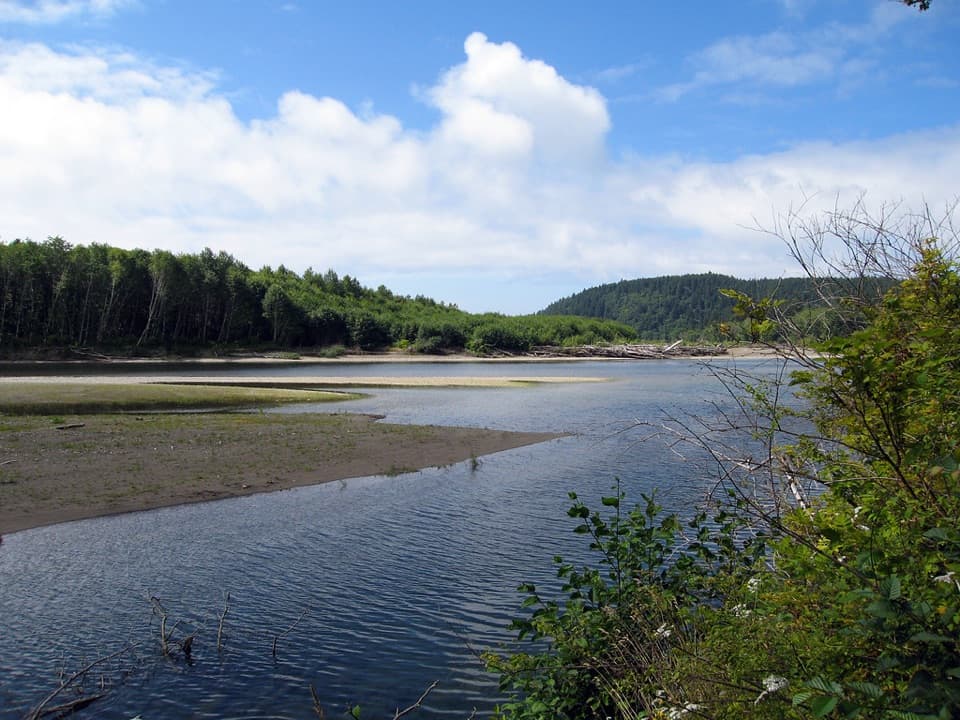 Campground · 1.4 mi awayMora CampgroundA wooded base camp two miles from Rialto Beach.
 Sight · 1.5 mi awayHole-in-the-WallA sea arch and tide pools reached on the tide’s schedule.
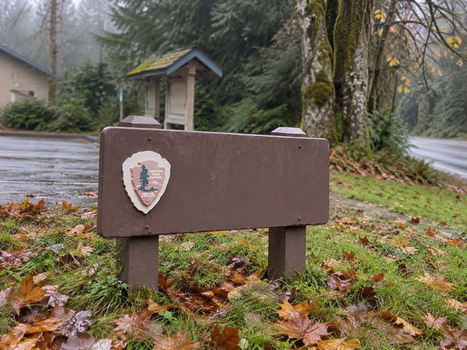 Ranger station · 1.6 mi awayMora Ranger StationA useful coastal stop for permits, water and local guidance.
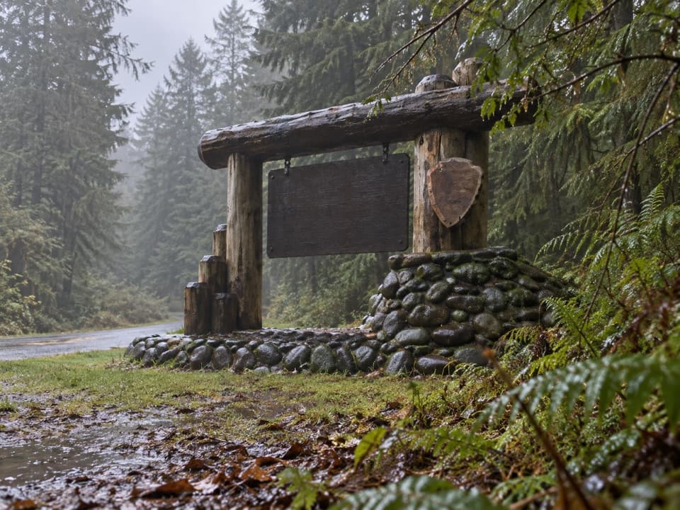 Sight · 2.2 mi awayMora Area Park Entrance SignA log-and-stone sign makes a memorable welcome photo at Mora.
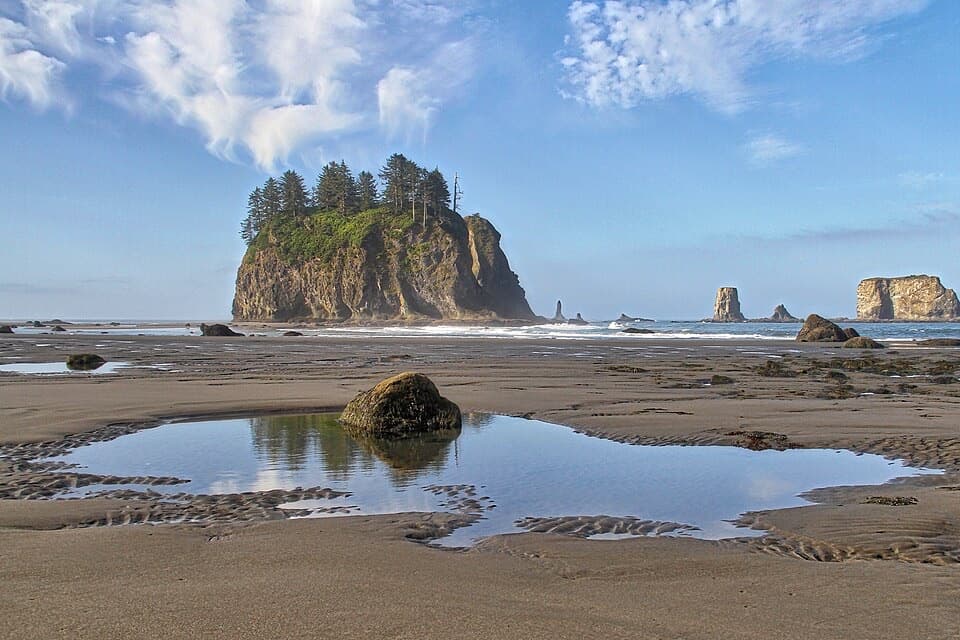 Beach · 2.7 mi awaySecond BeachSea stacks, tide pools, and a wind-whistling arch reward the stair climb.
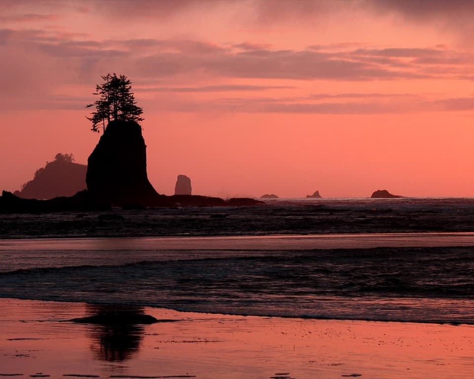 Beach · 3.9 mi awayThird BeachForest, driftwood and sea stacks reward the muddy walk in.
Parkwolf’s Olympic ranking

The audio tour guide for the drive, plus offline maps, trails, and wildlife heatmaps for when the signal drops.





