Parking
Use the small North Fork Trailhead pullout on Sol Duc Hot Springs Road, with room for about six vehicles. The signed trail starts across the road.
Olympic National Park, WA
A 12.5-mile river out-and-back to the second ford.
Overview
This is a 12.5-mile out-and-back from North Fork Trailhead on Sol Duc Hot Springs Road to the second ford of a North Fork tributary. The trail climbs over a low ridge, drops into a mossy ravine, then alternates between streamside flats and forest above the river. It is a long, remote walk with unbridged crossings, not a casual river stroll. Allow about seven hours, and start only when crossing conditions are safe. The usual season is June through October, depending on river levels.
 Parkwolf’s verdictIs this the hike for you?
Map & elevation
Plan your hike

The highest, rockiest slopes around here are a summer buffet for grizzly bears.
Olympic Tour Guide
Parkwolf is a GPS audio tour guide for Olympic National Park. As you drive, it chimes in with what’s ahead: hidden gems, upcoming stops, history, geology, and wildlife, right through your car’s speakers.
See the Olympic audio tourRecorded for this trailhead
North Fork Sol Duc: A Wilderness River Hike“You're nearing the North Fork Sol Duc trailhead, for a remote forest hike with river pools and small cascades. The walk to the second ford and back is twelve and a half miles; allow about seven hours.”
Plays as you drive up to this trailhead in the Parkwolf Olympic Tour Guide.
More stories near here in the app
“Fantastic app with many points of information… It’s great to just turn on while you’re driving and it gives you an audio tour of the national Park. We love it!!!!”


Trail guide
The trail climbs through hemlock and fir, crests a low ridge around half a mile in, then drops into a mossy ravine with devil’s club and a giant Douglas-fir. At about 1 mile, you reach the first ford of the North Fork Sol Duc. It is unbridged; hikers often find the best crossing just downstream. Beyond it, the valley opens into a flat with Sitka spruce and bigleaf maples draped in moss and licorice fern.
At 1.4 miles, rocky banks frame pools and small cascades with forested ridges beyond. This is the clearest early payoff. Leave a little riverbank in a photo so the pools read as part of the wider valley rather than isolated rocks.
Around 2.3 miles, the route reaches grassy flats and two established campsites; one looks over the river. At about 3.3 miles, the trail climbs to a bench above the water beneath old-growth Douglas-fir and hemlock. Cut logs form a passage through blowdown, and side streams can be tricky early in the season.
The second ford, about 6.3 miles from the trailhead, is a common turnaround for day hikers. The route shown here ends at that crossing and returns the same way. Expect a few rough stretches and keep enough time and energy for the walk back.
The trail continues beyond the second ford toward the North Fork Sol Duc Shelter, about 9 miles from the trailhead. That is a substantially longer wilderness trip: several more crossings follow, and the last three miles can be difficult to follow. The shelter is a historic backcountry stop, but this mapped route does not include that uncertain extension. If you plan to continue or camp overnight, check current route conditions with the Wilderness Information Center, carry map-and-compass navigation skills, obtain the required wilderness permit, and bring a bear canister.
Park in the small roadside pullout at North Fork Trailhead on Sol Duc Hot Springs Road; the signed trail begins across the road. The pullout holds about six vehicles. There are no food services along this route. The river and streams are natural water sources, so filter, boil, or chemically treat anything you drink.
Wildlife
 710 sightingsOlympic MarmotMost seen around 11 AMSighting map
 30 sightingsHumpback WhaleMost seen around 6 PMSighting map
 42 sightingsGrey WhaleMost seen around noonSighting map
 23 sightingsMountain LionMost seen around 8 PMSighting map
 71 sightingsMountain GoatMost seen around 7 AMSighting map
 306 sightingsBald EagleMost seen around 11 AMSighting map
Sighting maps show where each species has been reported across Olympic. Wildlife moves, so no sighting is guaranteed.
Keep exploring
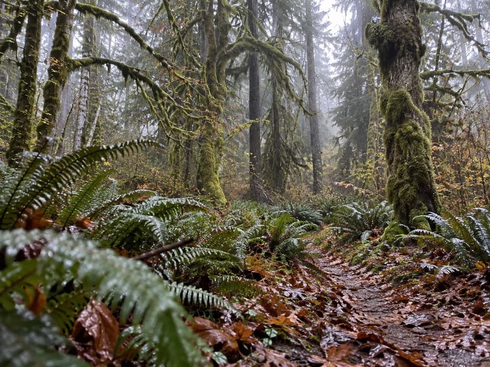
 EasyAncient Groves Nature Trail0.6 mi · 45 min · 0.5 mi awayA mossy forest loop with a much hillier tread than it looks.
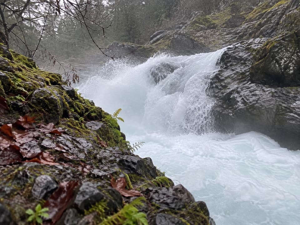 EasySalmon Cascades Trail0.1 mi · 15 min · 1 mi awayA tiny accessible walk to a waterfall and seasonal salmon.
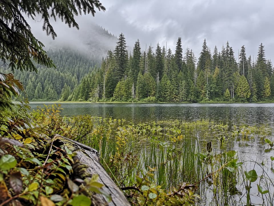 ModerateMink Lake Trail5.2 mi · 4 hr · 3.6 mi awayA steady forest climb to a small lake tucked into meadow.
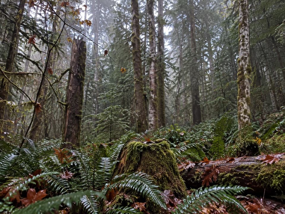 ModerateFairholme Campground Loop0.8 mi · 45 min · 4.2 mi awayOld-growth forest on a short loop that rises more than expected.
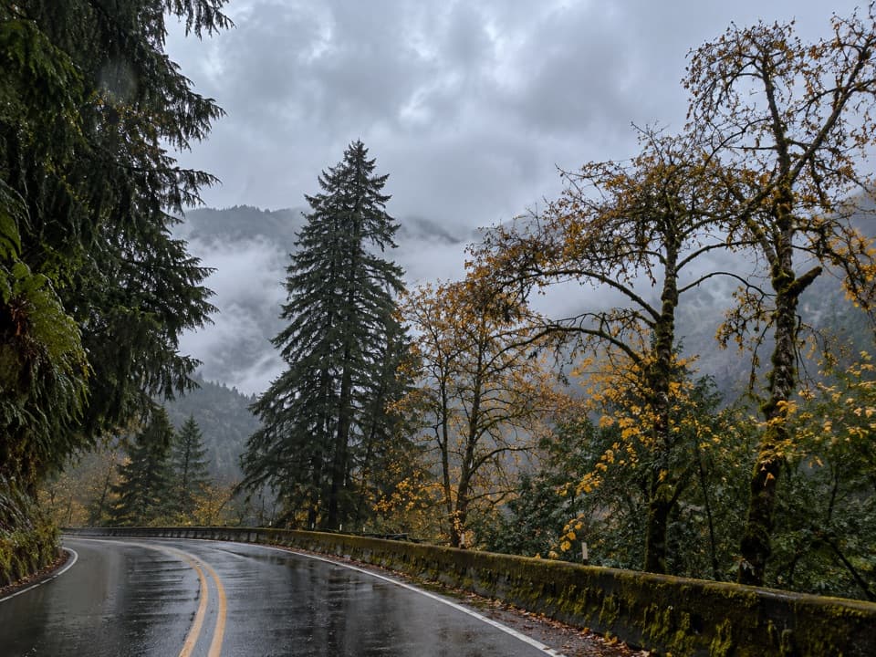 ChallengingAurora Creek Trail6.8 mi · 6 hr · 4.3 mi awayA shaded leg-burner to the Aurora Ridge junction.
 ChallengingPyramid Peak Trail7 mi · 4.5 hr · 4.5 mi awayA steep climb to a WWII lookout above Lake Crescent.
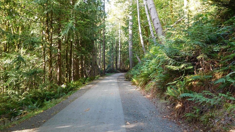 EasyOlympic Discovery Trail — Lake Crescent West6.5 mi · 3 hr · 5.2 mi awayA paved wheelchair-accessible link follows Lake Crescent’s north shore.
 ChallengingSol Duc River Trail16.8 mi · 12 hr · 5.2 mi awayA river climb that ends at Heart Lake and the High Divide.
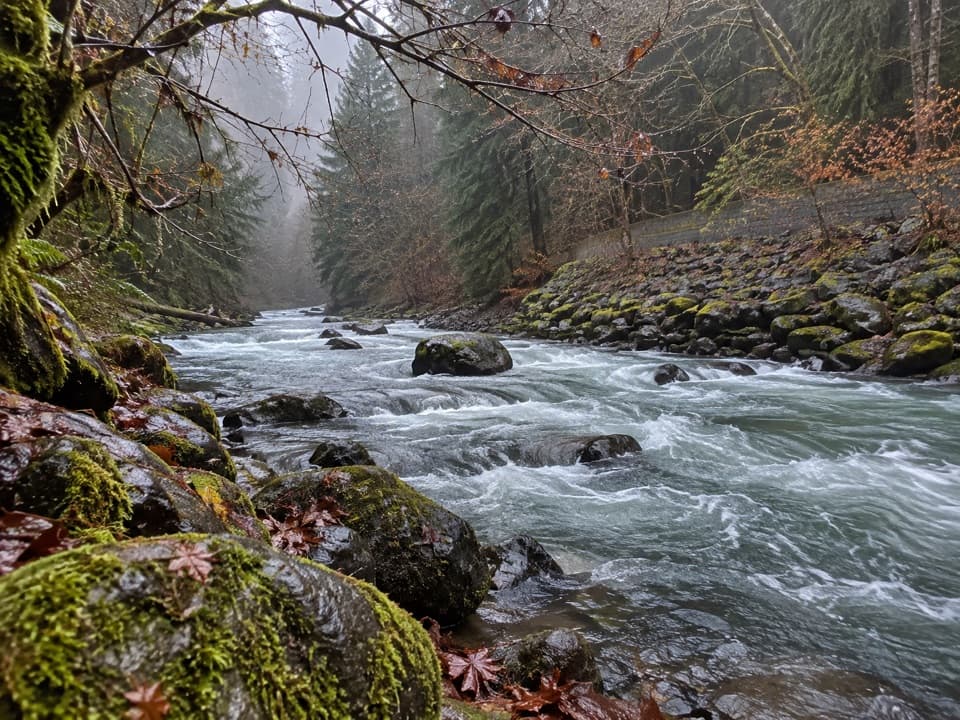 Picnic area · 0.7 mi awayPicnic Area along Sol Duc RiverA picnic break beside the Sol Duc River.
 Sight · 1 mi awaySalmon CascadesA short platform stop for the cascades and coho run.
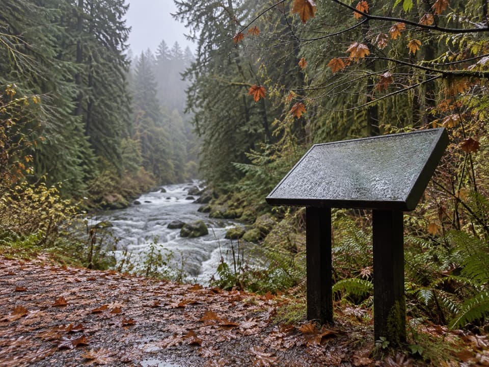 Picnic area · 1.5 mi awaySol Duc River View Picnic AreaA picnic table above the river’s fast, foamy run.
 Picnic area · 3.5 mi awayLa Poel Picnic AreaFire rings, tree shade, and a glimpse of Lake Crescent.
 Campground · 3.6 mi awaySol Duc Hot Springs RV Park and CampgroundCamp under old-growth trees, with Sol Duc Falls nearby.
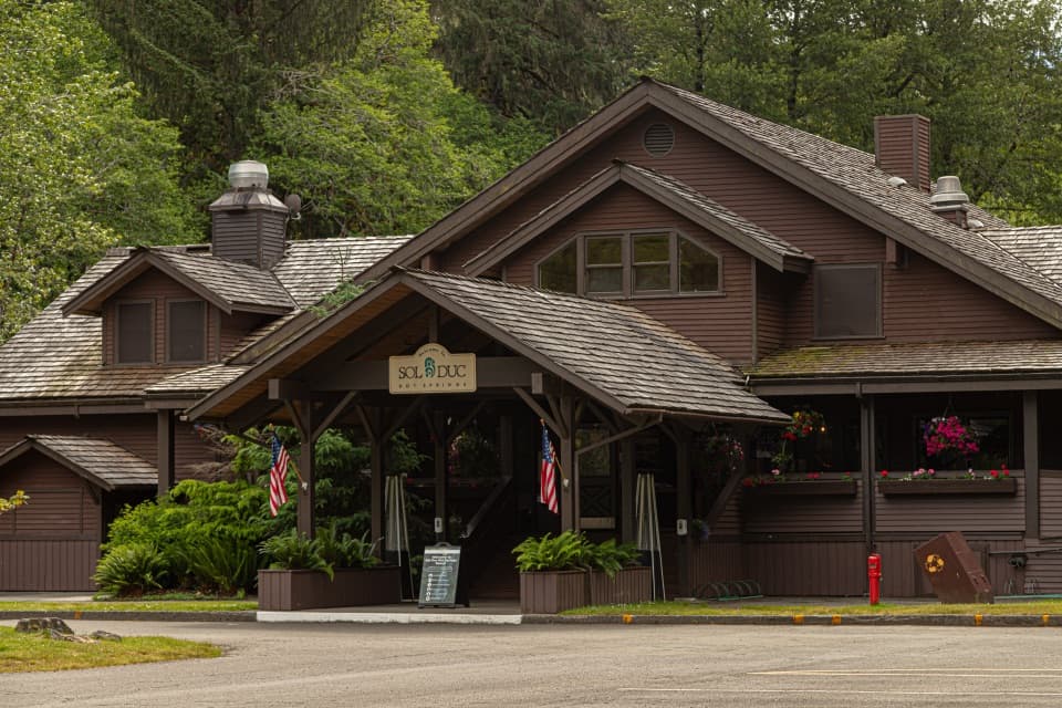 Sight · 3.6 mi awaySol Duc Hot Springs ResortThree mineral pools, plus a cooler dip in the Sol Duc valley.
 Store · 4 mi awayFairholme StoreA handy seasonal stop for Lake Crescent supplies and boat rentals.
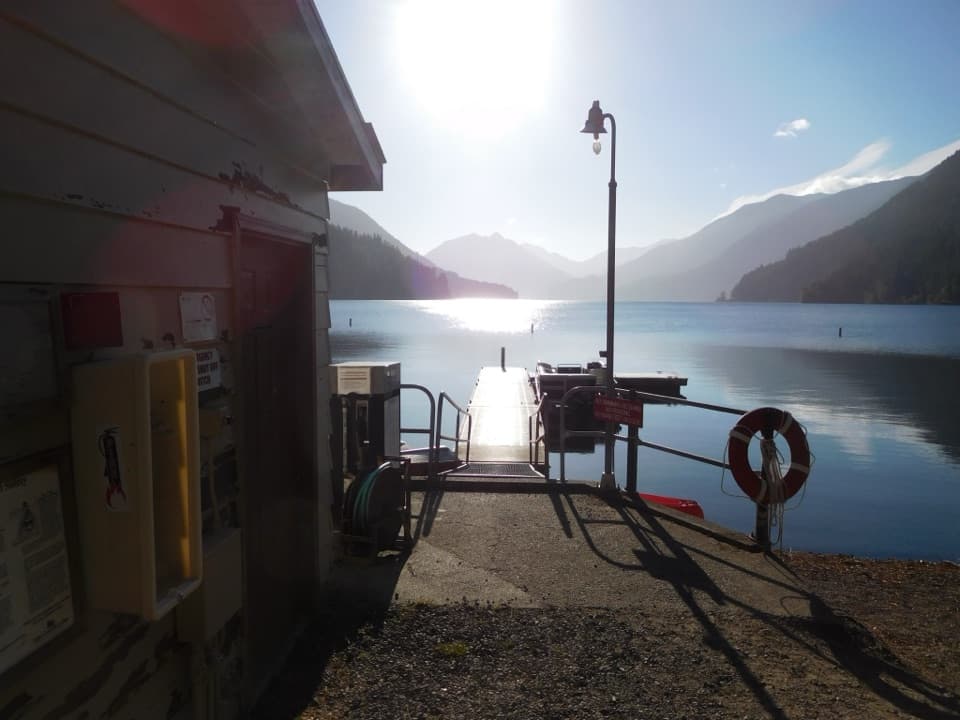 Sight · 4 mi awayFairholme Boat LaunchGet on the water before Lake Crescent’s afternoon wind rises
Parkwolf’s Olympic ranking
The audio tour guide for the drive, plus offline maps, trails, and wildlife heatmaps for when the signal drops.





