Pyramid Peak Trail in Olympic National Park

Olympic National Park, WA

Pyramid Peak Trail

A steep climb to a WWII lookout above Lake Crescent.

Photo: Wikimedia Commons
Length
7mi
Time
4.5hr
Elev. change
2,361ft
Difficulty
Challenging
  • No dogs
  • High point 3,046 ft
  • #63 of 148 in Olympic

Hear the audio tour

Pyramid Peak: The Wartime Lookout Climb

Overview

About Pyramid Peak Trail

Why go

  • A wartime lookout and two distinct summit views
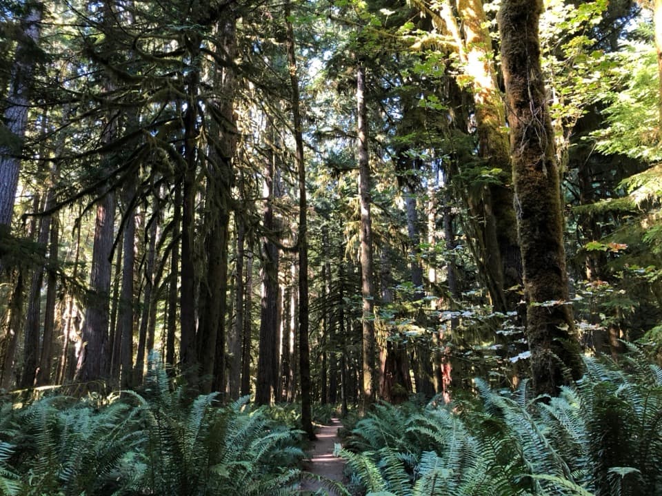
  • A long, shaded lower stretch through old-growth forest

Heads up

  • A narrow, exposed landslide crossing is the route’s crux
  • Steep switchbacks make the return climb tiring
Pyramid Peak Trail is a 7-mile out-and-back from its signed trailhead on Spruce Railroad Trail to a World War II aircraft-spotting cabin on Pyramid Peak. It climbs about 2,600 feet; allow four to five hours. Most of the lower approach is shaded forest, but the upper climb gets steep. The exposed landslide crossing is the deciding factor: the tread is narrow and loose. If it makes you hesitate, turn around. Don't cross it when wet or icy.
Parkwolf’s verdictIs this the climb for you?

Map & elevation

The route

Loading the Olympic map
Full map
Elevation684–3,046 ft
TrailheadPyramid Peak Trailhead from Spruce Railroad Trail48.06606, -123.85967
Keep this map with you offline in the Parkwolf app

Plan your hike

Before you go

Parking

From U.S. 101, turn onto Camp David Junior Road at the west end of Lake Crescent, then continue on North Shore Road for about 3.1 miles to the pedestrian-crossing sign. There is no lot; use the designated accessible shoulder space or nearby roadside shoulders, with room for only a few vehicles. Walk the paved 650-foot ramp to the signed trailhead on Spruce Railroad Trail. The stored 7-mile distance begins at that sign and excludes the ramp, which adds about a quarter mile round trip. There are no amenities at the trailhead.

Safety

The exposed landslide crossing is narrow, loose and just over 100 yards long. Avoid it when wet or icy. Steep switchbacks follow the crossing. Pets are not permitted on Pyramid Peak Trail.

6 active Olympic alerts

  • CautionUS 101 Hoh River Bridge reduced to one laneUS 101 at the Hoh River Bridge is restricted to one lane of alternating traffic; obey the signals and 25 mph speed limit.Official details
  • ClosureStaircase wilderness trails and campsites remain closedWilderness trails and campsites around Staircase remain closed during recovery from the Bear Gulch Fire; the developed Staircase area, including the Rapids Loop, campground, and ranger station, is…Official details
See all 6 alerts
A park ranger sits on a dash-mounted phone, talking, as Parkwolf’s Tour Guide plays “Army Cutworm Moths: A Grizzly Bear Buffet” on Grand Loop Road below Dunraven Pass in Yellowstone
Parkwolf Tour GuideThe highest, rockiest slopes around here are a summer buffet for grizzly bears.

Olympic Tour Guide

Your drive to Pyramid Peak Trail, narrated.

Parkwolf is a GPS audio tour guide for Olympic National Park. As you drive, it chimes in with what’s ahead: hidden gems, upcoming stops, history, geology, and wildlife, right through your car’s speakers.

See the Olympic audio tour

Recorded for this trailhead

Pyramid Peak: The Wartime Lookout Climb
0:00 / 0:25
“Pyramid Peak trail access is coming up, for a steep climb to a World War Two aircraft-spotting cabin above Lake Crescent.”

Plays as you drive up to this trailhead in the Parkwolf Olympic Tour Guide.

More stories near here in the app

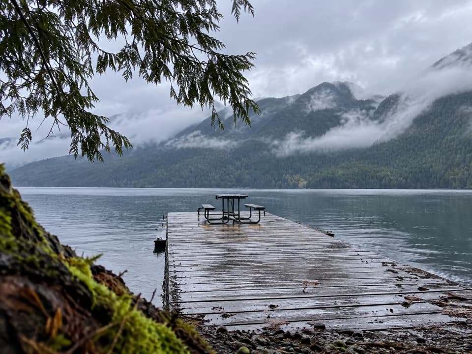
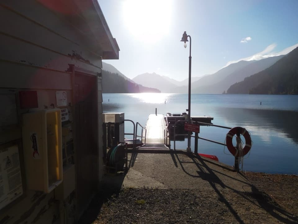
  • Lake Crescent North Shore: A Picnic by the Dock
  • Olympic Discovery Trail: The Westward Link
  • La Poel: A Wooded Lake Crescent Picnic
  • The Cooking Pot Made of Wood
  • 204 audio storiesacross Olympic’s roads, triggered by GPS as you drive
  • Wildlife heatmapsfor Olympic Marmot, Humpback Whale, Grey Whale, and 13 more
  • Works offlinemaps, 148 trails, 94 places, and audio download before you lose signal
  • CarPlay readysimple controls built for the drive
★★★★★
“Fantastic app with many points of information… It’s great to just turn on while you’re driving and it gives you an audio tour of the national Park. We love it!!!!”
JMJamesApp Store review
Download Parkwolf on the App StoreGet Parkwolf on Google Play

4.7 from 8,600+ ratings

Trail guide

Hiking Pyramid Peak Trail

How the climb changesA paved ramp about 650 feet long links the road to Spruce Railroad Trail, where a sign marks…

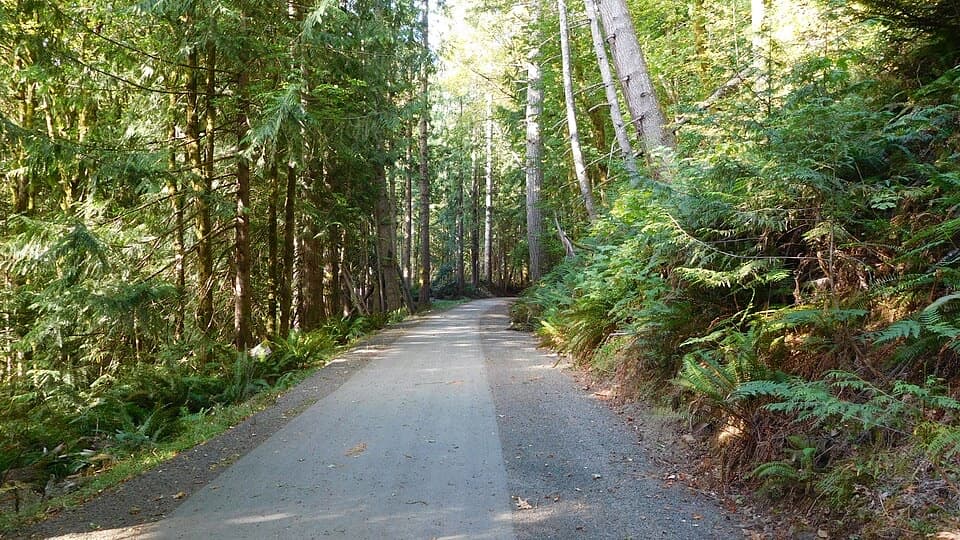
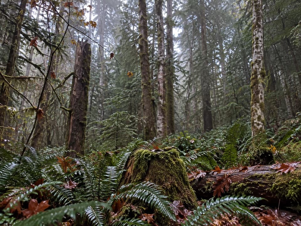
A paved ramp about 650 feet long links the road to Spruce Railroad Trail, where a sign marks the Pyramid Peak climb. The first 1.7 miles run through shaded old-growth forest, with sword ferns, salal and occasional peeks at the lake. Then the route crosses the open slide for just over 100 yards. After it, tight switchbacks climb toward the ridge around mile 2.5. The final stretch stays mostly under trees with brief views, so the first leveling isn't the summit. The 3.5-mile ascent is the same way back down.

The summit and lookoutA clearing just before the cabin opens west over Lake Crescent; from the cabin, look east…

A clearing just before the cabin opens west over Lake Crescent; from the cabin, look east toward Lake Sutherland and down the Barnes Creek drainage. The summit cabin was built during World War II for spotting aircraft, not as a fire lookout. For a photo, stop at the west-facing clearing and include the curve of Lake Crescent and its forested ridges.

What the lake tells youLake Crescent is glacier-carved.

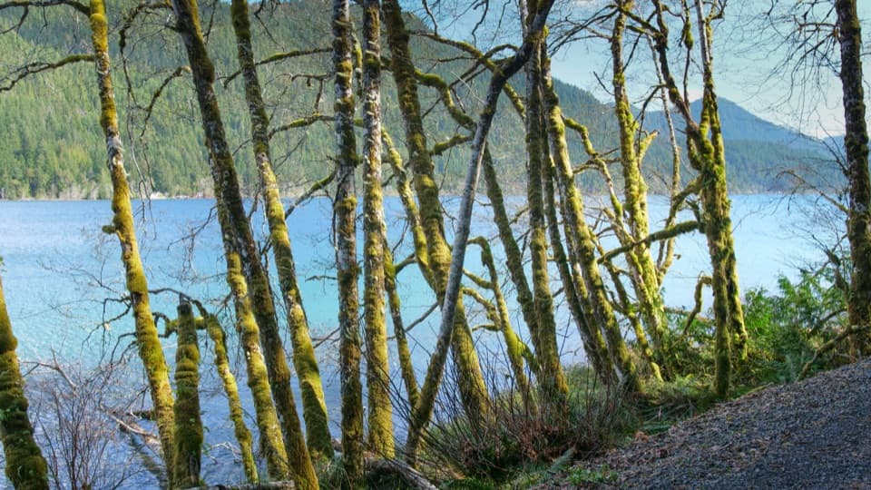
Lake Crescent is glacier-carved. Its low nitrogen limits phytoplankton, which helps keep the water strikingly clear and blue-green. Beardslee and Crescenti trout live only in this lake, a detail worth keeping in mind as you look down from the trail.

Access and rulesAt the west end of Lake Crescent, turn onto Camp David Junior Road and continue on North Shore…

At the west end of Lake Crescent, turn onto Camp David Junior Road and continue on North Shore Road for about 3.1 miles to the pedestrian-crossing sign. There is no trailhead lot: use the designated accessible shoulder space or a nearby shoulder, where room is limited. From the road, walk the paved 650-foot ramp each way to the signed trailhead; that access adds about a quarter mile to the 7-mile trail. Pets are prohibited on Pyramid Peak Trail, although they can use the nearby Spruce Railroad Trail.

Wildlife

Wildlife in Olympic

All Olympic wildlife maps

Sighting maps show where each species has been reported across Olympic. Wildlife moves, so no sighting is guaranteed.

Keep exploring

Near Pyramid Peak Trail

See it all on the map

Trails that start nearby

Places near the trailhead

Parkwolf’s Olympic ranking

Top-rated trails in Olympic

All 148 trails
  1. 1Hall of Mosses TrailEasy · 0.8 mi
  2. 2Hurricane Hill TrailModerate · 3.3 mi
  3. 3Sol Duc Falls Nature TrailEasy · 1.6 mi
  4. 4High Divide Loop (Seven Lakes Basin)Challenging · 19 mi
  5. 5Hoh River TrailChallenging · 34.8 mi
  6. 6Shi Shi Beach and Point of Arches TrailModerate · 8 mi

Take Parkwolf to Olympic.

The audio tour guide for the drive, plus offline maps, trails, and wildlife heatmaps for when the signal drops.

4.7 from 8,600+ ratings

Download Parkwolf on the App StoreGet Parkwolf on Google Play