Parking
Use the Salmon Cascades parking area on Sol Duc Road around milepost 7. A van-accessible space is directly in front of the path; the picnic table and accessible restroom are on a separate gravel walkway nearby.
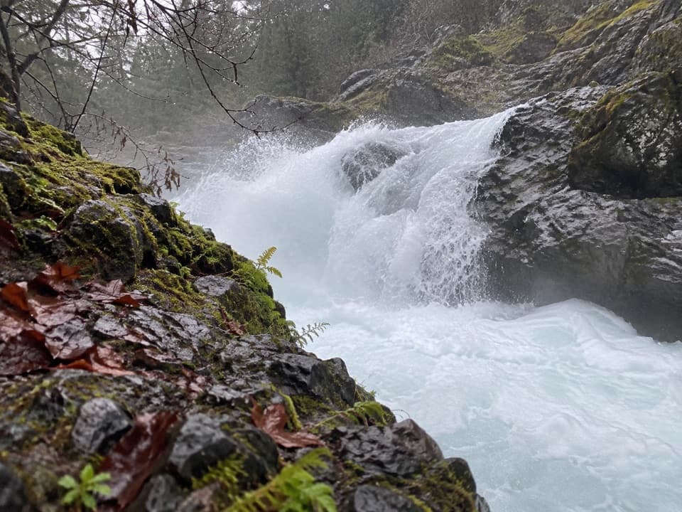
Olympic National Park, WA
A tiny accessible walk to a waterfall and seasonal salmon.
Overview
Map & elevation
Plan your hike

The highest, rockiest slopes around here are a summer buffet for grizzly bears.
Olympic Tour Guide
Parkwolf is a GPS audio tour guide for Olympic National Park. As you drive, it chimes in with what’s ahead: hidden gems, upcoming stops, history, geology, and wildlife, right through your car’s speakers.
See the Olympic audio tourRecorded for this trailhead
Salmon Cascades: Watch the River Ledges“You’re coming up on Salmon Cascades, a quick river stop with a chance to watch fish leap the rock ledges.”
Plays as you drive up to this trailhead in the Parkwolf Olympic Tour Guide.
More stories near here in the app
“Fantastic app with many points of information… It’s great to just turn on while you’re driving and it gives you an audio tour of the national Park. We love it!!!!”


Trail guide
Salmon Cascades Trail is an out-and-back path of about 380 feet round trip from the Sol Duc Road parking area to a viewing platform over the river. The platform is 190 feet from the start. It is a quick stop rather than a hike to budget much time for; allow about 15 minutes for the walk and a look around. The path is compacted gravel, usually six feet wide, and mostly gentle. The park lists it as wheelchair accessible, though there is a small root hump and a brief steeper pitch near the platform.
At about 140 feet, the path reaches a junction. Turn right for the viewing platform, about 50 feet farther on. The route has one 12-foot uphill pitch at 7–11%. The straight-ahead continuation narrows, gets much steeper, and ends at a short drop beside the river; it is not part of this trail. Stay on the platform route.
The cascades are a natural obstacle on the salmon's way upstream. Coho are most likely in September and October; steelhead may be seen from late March through May, but a sighting is never guaranteed. These fish are born in the Sol Duc River, spend much of their lives in the ocean, then return to spawn. Fishing is not allowed near the cascades, and pets are not permitted on this trail. The picnic table and accessible restroom are on a separate gravel path beside the parking area.
Wildlife
 710 sightingsOlympic MarmotMost seen around 11 AMSighting map
 30 sightingsHumpback WhaleMost seen around 6 PMSighting map
 42 sightingsGrey WhaleMost seen around noonSighting map
 23 sightingsMountain LionMost seen around 8 PMSighting map
 71 sightingsMountain GoatMost seen around 7 AMSighting map
 306 sightingsBald EagleMost seen around 11 AMSighting map
Sighting maps show where each species has been reported across Olympic. Wildlife moves, so no sighting is guaranteed.
Keep exploring
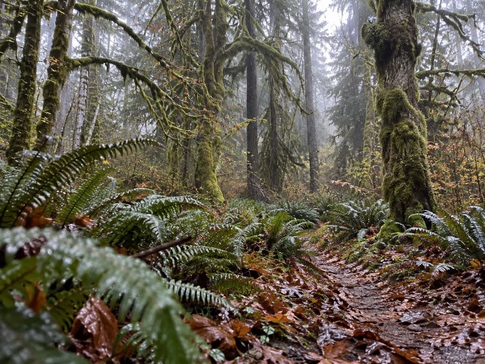 ChallengingNorth Fork Sol Duc River Trail to Second Ford12.5 mi · 7 hr · 1 mi awayA 12.5-mile river out-and-back to the second ford.
 EasyAncient Groves Nature Trail0.6 mi · 45 min · 1.6 mi awayA mossy forest loop with a much hillier tread than it looks.
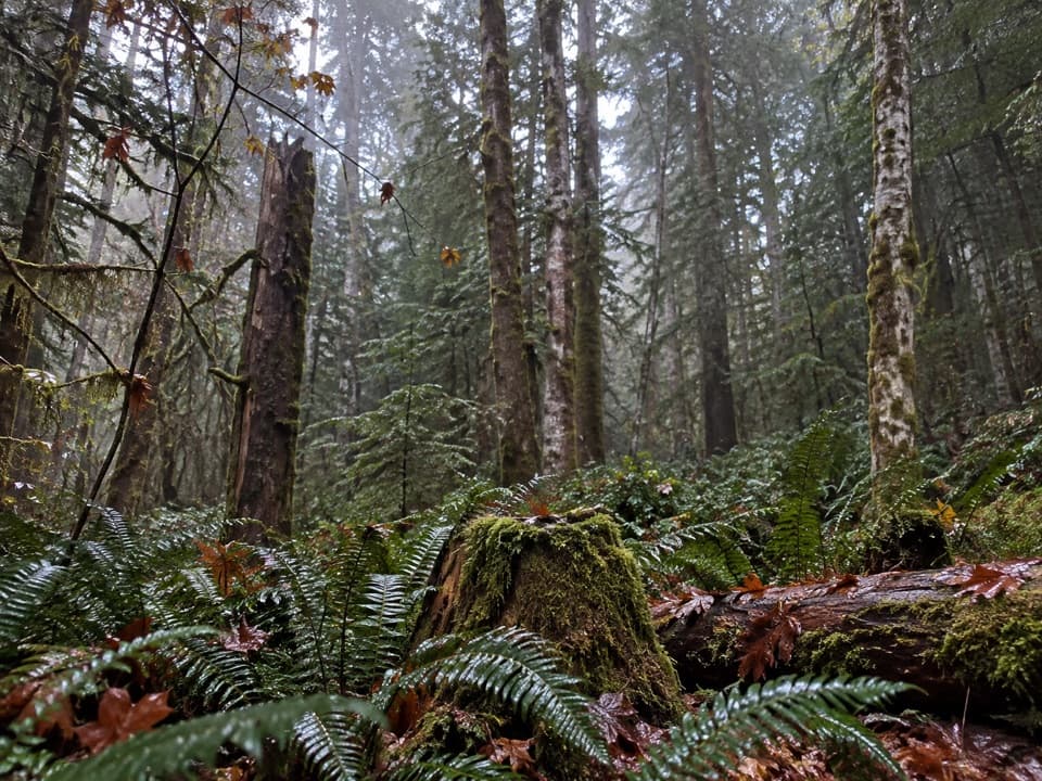 ModerateFairholme Campground Loop0.8 mi · 45 min · 3.3 mi awayOld-growth forest on a short loop that rises more than expected.
 ChallengingPyramid Peak Trail7 mi · 4.5 hr · 4.2 mi awayA steep climb to a WWII lookout above Lake Crescent.
 ChallengingAurora Ridge Trail16.9 mi · 12 hr · 4.2 mi awayA long, quiet ridge climb with optional lake and peak detours.
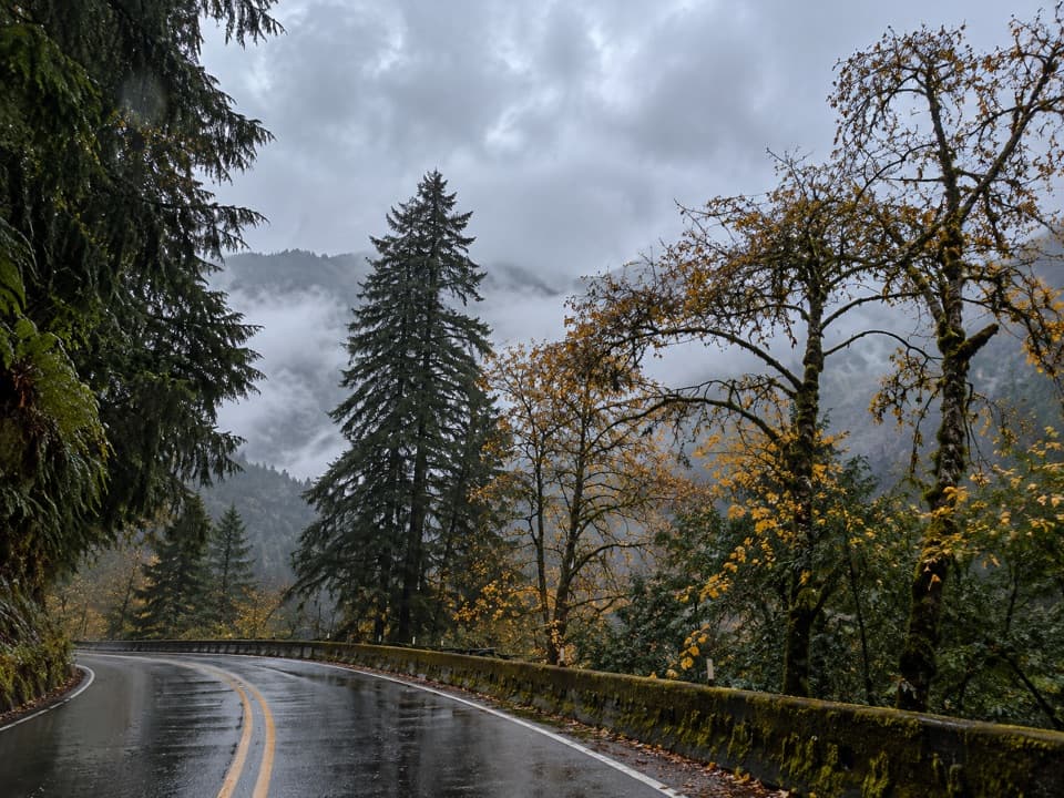 ChallengingAurora Creek Trail6.8 mi · 6 hr · 4.4 mi awayA shaded leg-burner to the Aurora Ridge junction.
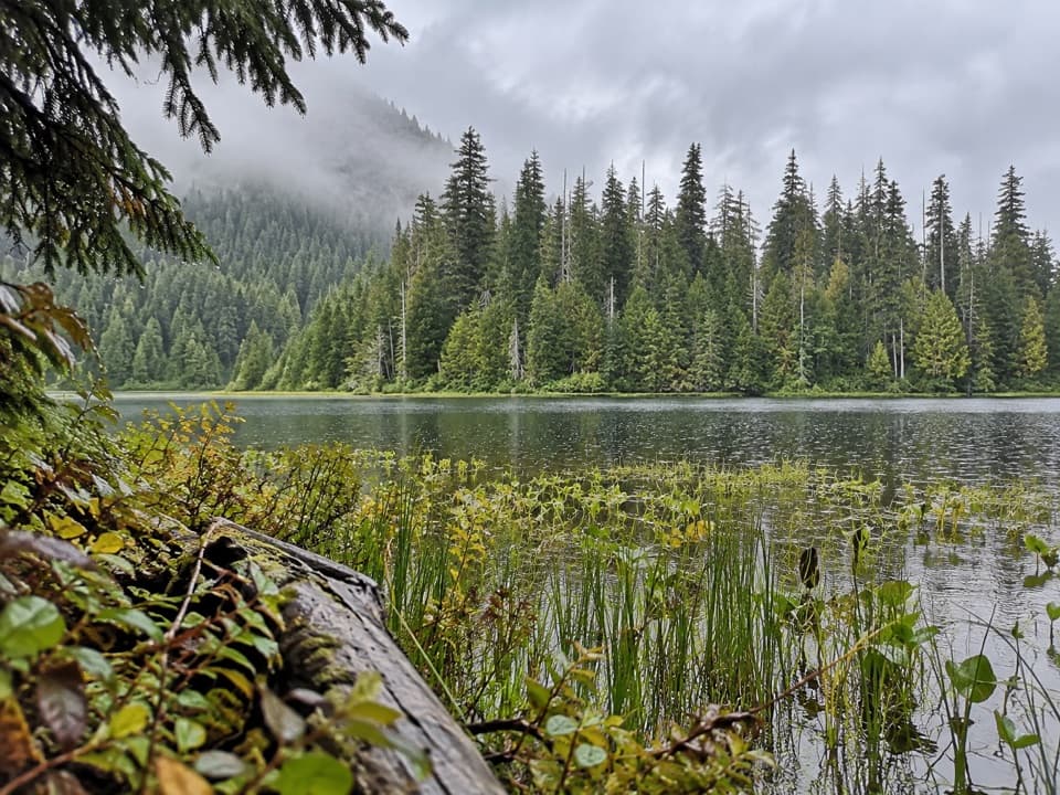 ModerateMink Lake Trail5.2 mi · 4 hr · 4.7 mi awayA steady forest climb to a small lake tucked into meadow.
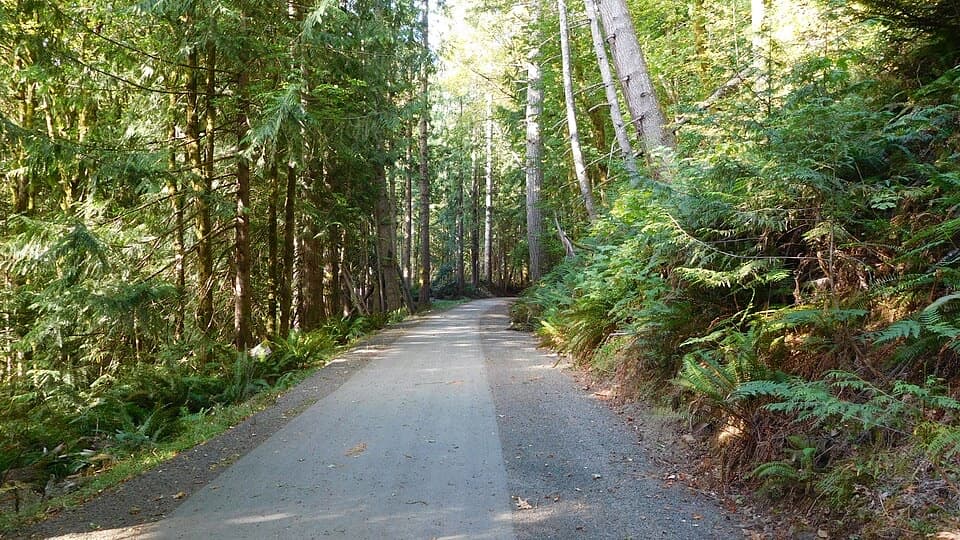 EasyOlympic Discovery Trail — Lake Crescent West6.5 mi · 3 hr · 5 mi awayA paved wheelchair-accessible link follows Lake Crescent’s north shore.
 Sight · At the trailheadSalmon CascadesA short platform stop for the cascades and coho run.
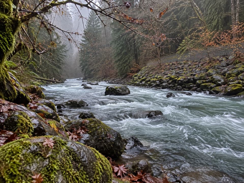 Picnic area · 0.3 mi awayPicnic Area along Sol Duc RiverA picnic break beside the Sol Duc River.
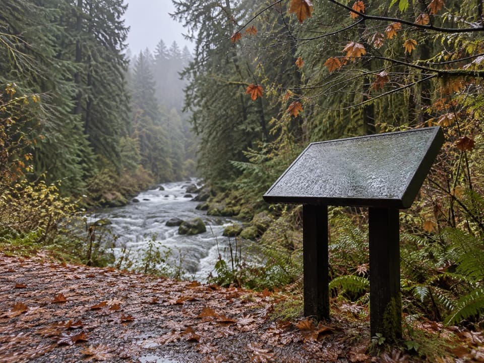 Picnic area · 0.5 mi awaySol Duc River View Picnic AreaA picnic table above the river’s fast, foamy run.
 Store · 3.1 mi awayFairholme StoreA handy seasonal stop for Lake Crescent supplies and boat rentals.
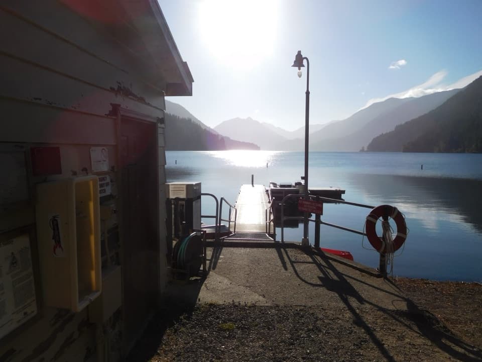 Sight · 3.2 mi awayFairholme Boat LaunchGet on the water before Lake Crescent’s afternoon wind rises
 Picnic area · 3.2 mi awayLa Poel Picnic AreaFire rings, tree shade, and a glimpse of Lake Crescent.
 Campground · 3.3 mi awayFairholme CampgroundLakeside sites trade a steep gear carry for Lake Crescent access.
 Entrance station · 3.8 mi awaySol Duc Entrance StationA staffed fee stop before the Sol Duc Valley drive.
Parkwolf’s Olympic ranking

The audio tour guide for the drive, plus offline maps, trails, and wildlife heatmaps for when the signal drops.





