Parking
From Sitkum-Sol Duc Road (FS-29), follow FR 2902 and continue onto FR 2913. The unmarked trailhead is on the right near the end of FR 2913, about 2.3 miles beyond its junction.
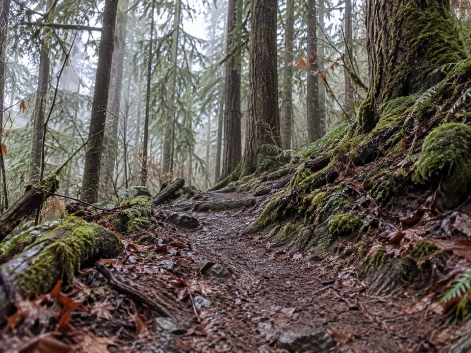
Olympic National Park, WA
A rough ridge crossing into the Bogachiel drainage.
Overview
Map & elevation
Plan your hike

The highest, rockiest slopes around here are a summer buffet for grizzly bears.
Olympic Tour Guide
Parkwolf is a GPS audio tour guide for Olympic National Park. As you drive, it chimes in with what’s ahead: hidden gems, upcoming stops, history, geology, and wildlife, right through your car’s speakers.
See the Olympic audio tour“Fantastic app with many points of information… It’s great to just turn on while you’re driving and it gives you an audio tour of the national Park. We love it!!!!”


Trail guide
North Snider-Jackson Primitive Trail is a 6.3-mile, one-way wilderness route from the unmarked trailhead near the end of FR 2913 to its junction with the Bogachiel River Trail. It climbs through remote forest toward the ridge and pass, then drops toward the Bogachiel. Allow about four to five hours one way. This suits hikers comfortable with a primitive backcountry route; the trailhead has no sign to confirm you have found the start.
The 6.3 miles is one way. Turning around at the Bogachiel junction makes about a 12.6-mile day, and there is no road at the far end. For a through-hike, a longer 12.5-mile shuttle itinerary continues west along the Bogachiel River Trail to its trailhead. That is a different route from the segment mapped here, which ends at the junction.
A ford of the Calawah River is part of the route and can become hazardous after heavy rain or seasonal snowmelt. The tread is primitive, with no trailhead signage, and the park does not recommend it for stock. Dogs are not allowed on this wilderness trail. Overnight trips need a wilderness permit year-round, and food, garbage, drinks and scented items must go in a park-approved bear canister.
Wildlife
 710 sightingsOlympic MarmotMost seen around 11 AMSighting map
 30 sightingsHumpback WhaleMost seen around 6 PMSighting map
 42 sightingsGrey WhaleMost seen around noonSighting map
 23 sightingsMountain LionMost seen around 8 PMSighting map
 71 sightingsMountain GoatMost seen around 7 AMSighting map
 306 sightingsBald EagleMost seen around 11 AMSighting map
Sighting maps show where each species has been reported across Olympic. Wildlife moves, so no sighting is guaranteed.
Keep exploring
 ChallengingBogachiel River Trail48.8 mi · 1.3 days · 6.4 mi awayA rainforest approach turns into a remote, rough river trek.
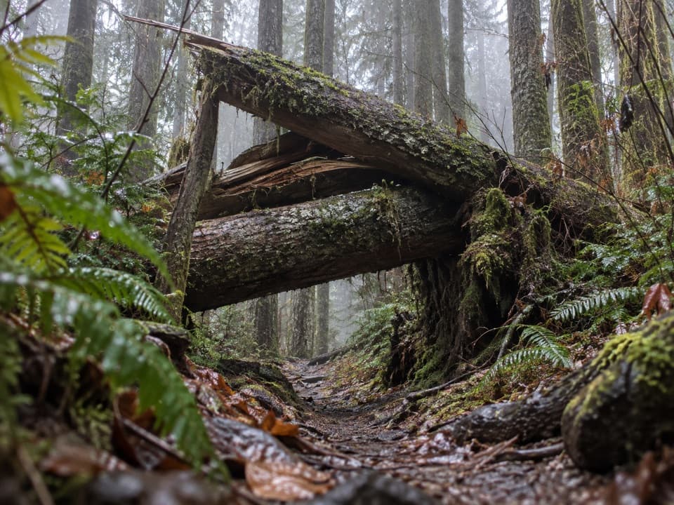 ChallengingSouth Snider-Jackson Trail10 mi · 8 hr · 10.4 mi awayA remote ridge crossing with a hazardous Bogachiel ford.
 ChallengingAurora Ridge Trail16.9 mi · 12 hr · 11.7 mi awayA long, quiet ridge climb with optional lake and peak detours.
 EasyHall of Mosses Trail0.8 mi · 54 min · 11.9 mi awayA moss-draped maple arch and a creek bridge in a short loop.
 EasyMini Rain Forest Trail0.2 mi · 9 min · 11.9 mi awayA quick loop past a bubbling creek, mosses, ferns and bridges.
 EasySpruce Nature Trail1.3 mi · 45 min · 12 mi awayA short Hoh loop for nurse logs and river views.
 ChallengingHoh Lake Trail29.4 mi · 15 hr · 12 mi awayA rainforest approach leads to a steep, exposed climb and subalpine lake.
 ChallengingHoh River Trail34.8 mi · 20 hr · 12 mi awayRainforest for miles, then a steep climb to Glacier Meadows.
Parkwolf’s Olympic ranking

The audio tour guide for the drive, plus offline maps, trails, and wildlife heatmaps for when the signal drops.



