Parking
Park at Hoh River Trailhead beside the Hoh Rain Forest Visitor Center at the end of Upper Hoh Road. This is the Hoh River approach; the separate Sol Duc approach begins elsewhere.

Olympic National Park, WA
A rainforest approach leads to a steep, exposed climb and subalpine lake.
Overview
Map & elevation
Plan your hike

The highest, rockiest slopes around here are a summer buffet for grizzly bears.
Olympic Tour Guide
Parkwolf is a GPS audio tour guide for Olympic National Park. As you drive, it chimes in with what’s ahead: hidden gems, upcoming stops, history, geology, and wildlife, right through your car’s speakers.
See the Olympic audio tourRecorded for this trailhead
Hoh Rain Forest: Under the Moss“Up ahead is the Hoh Rain Forest visitor area, where I'd give most of your time to the trees. The Hall of Mosses loop takes you beneath huge conifers and bigleaf maples hung with moss.”
Plays as you drive up to this trailhead in the Parkwolf Olympic Tour Guide.
More stories near here in the app
“Fantastic app with many points of information… It’s great to just turn on while you’re driving and it gives you an audio tour of the national Park. We love it!!!!”


Trail guide
This out-and-back starts at Hoh River Trailhead, follows the Hoh River Trail to the Hoh Lake junction, climbs to the lake, and returns the same way. Hoh Lake is listed 14.7 miles from the Hoh trailhead, so plan for 29.4 miles round trip. The lake is the turnaround for this itinerary; the named trail continues beyond it toward Bogachiel Peak and the High Divide. Allow about 15 hours for the full hike, or consider an overnight with the required wilderness permit.
The first roughly 10 miles follow the Hoh River through old-growth rainforest. Expect moss-covered trees, nurse logs, and river views, with 5-Mile Island and Happy 4 among the landmarks. Olympus Guard Station is a little over nine miles from the trailhead. This approach is much gentler than the climb ahead, but its distance makes the return trip substantial before you even reach the lake.
At the Hoh River junction, turn onto the Hoh Lake Trail. The route climbs steeply for about 4.7 miles to the basin, gaining roughly 3,500 to 3,800 feet on a series of switchbacks. It leaves the valley and crosses the sparse-canopy footprint of the 1978 Hoh Fire, with little shade and no water along the climb until C.B. Flats. The exposed grade makes heat, rain, and snow more consequential than on the lower river trail.
Hoh Lake sits in a rocky subalpine basin. In season, avalanche lilies and other alpine flowers brighten the meadows, and the surrounding ridges open toward Olympic's interior mountains. Elk and bears are often seen in summer and early fall, though sightings are never assured. The High Divide trail continues beyond the lake; this route turns around at the basin rather than making that longer continuation.
The best season is generally mid-July through September, but snow can cover high sections in any season. Travel over snow requires an ice axe and self-arrest skills, and map-and-compass navigation may be needed. Treat water before drinking. Overnight hikers need a wilderness permit and must use designated sites; the lake has a composting toilet, and the C.B. Flats group site is about half a mile south. Follow current bear-canister rules and do not build campfires. Check current trail conditions before setting out because recent reports describe a washout and rough reroute above the Hoh River junction.
Wildlife
 710 sightingsOlympic MarmotMost seen around 11 AMSighting map
 30 sightingsHumpback WhaleMost seen around 6 PMSighting map
 42 sightingsGrey WhaleMost seen around noonSighting map
 23 sightingsMountain LionMost seen around 8 PMSighting map
 71 sightingsMountain GoatMost seen around 7 AMSighting map
 306 sightingsBald EagleMost seen around 11 AMSighting map
Sighting maps show where each species has been reported across Olympic. Wildlife moves, so no sighting is guaranteed.
Keep exploring
 ChallengingHoh River Trail34.8 mi · 20 hr · At the trailheadRainforest for miles, then a steep climb to Glacier Meadows.
 EasySpruce Nature Trail1.3 mi · 45 min · At the trailheadA short Hoh loop for nurse logs and river views.
 EasyHall of Mosses Trail0.8 mi · 54 min · 0.1 mi awayA moss-draped maple arch and a creek bridge in a short loop.
 EasyMini Rain Forest Trail0.2 mi · 9 min · 0.1 mi awayA quick loop past a bubbling creek, mosses, ferns and bridges.
 EasySouth Fork Hoh River Trail9.2 mi · 4.5 hr · 4.4 mi awayA long rainforest walk to the South Fork’s riverside end
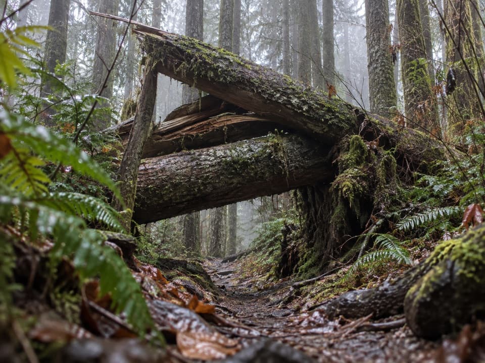 ChallengingSouth Snider-Jackson Trail10 mi · 8 hr · 5.1 mi awayA remote ridge crossing with a hazardous Bogachiel ford.
 ModerateLunch Lake Trail1.2 mi · 1.3 hr · 7.5 mi awayA rough half-mile drop to a lake with designated campsites.
 ChallengingAppleton Pass Trail14.8 mi · 9 hr · 7.9 mi awayA long climb past Sol Duc Falls to a high mountain pass.
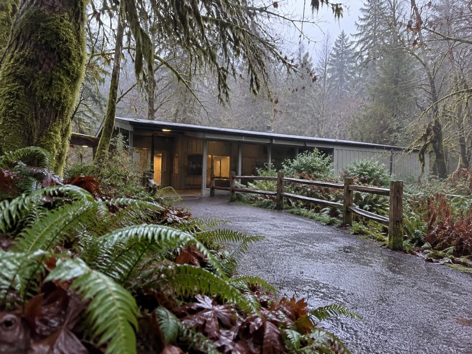 Visitor center · 0.1 mi awayHoh Rain Forest Visitor CenterStart here for ranger help and two mossy forest loops.
 Sight · 0.3 mi awayHoh Rain Forest Entrance SignA quick photo of the Hoh's roadside arrival sign.
 Campground · 0.3 mi awayHoh Rain Forest CampgroundMossy old-growth camping, with a few riverside sites.
 Entrance station · 5 mi awayHoh Entrance StationHandle passes, permits, and questions before the rainforest trails.
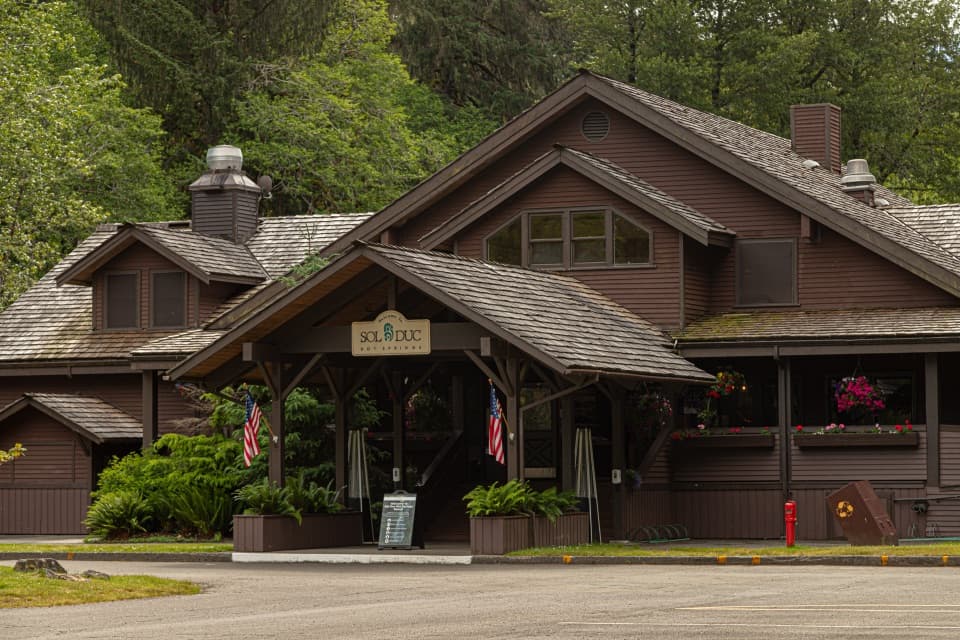 Sight · 8.1 mi awaySol Duc Hot Springs ResortThree mineral pools, plus a cooler dip in the Sol Duc valley.
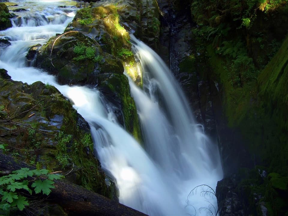 Sight · 8.2 mi awaySol Duc FallsA 48-foot cascade drops through a narrow, rocky canyon.
 Campground · 8.2 mi awaySol Duc Hot Springs RV Park and CampgroundCamp under old-growth trees, with Sol Duc Falls nearby.
Parkwolf’s Olympic ranking

The audio tour guide for the drive, plus offline maps, trails, and wildlife heatmaps for when the signal drops.


