
Place · 6.4 mi away
Moderate
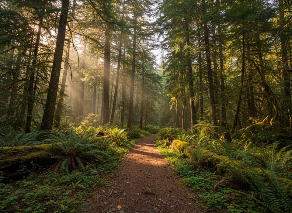
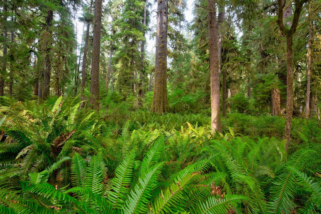
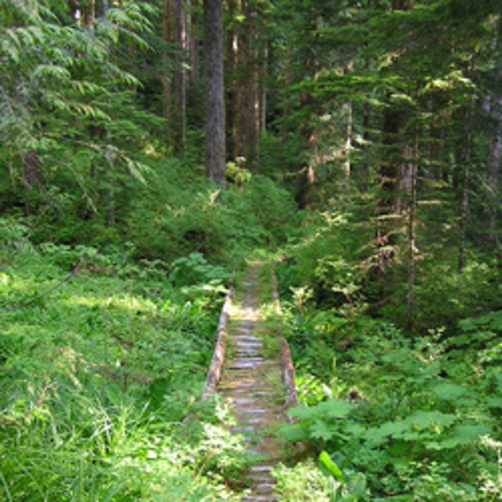
If you want the Hoh’s lush rainforest without the crowds, this primitive ridge climb delivers. Expect a steep, mossy ascent through enormous Douglas fir and western hemlock, with ferns and dripping green everywhere. Views are limited—this one’s about immersion, not vistas—though you may catch filtered peeks toward the Hoh River and even Mt. Olympus through the trees.
Most day hikers tackle a short out-and-back of about 2.5–2.6 miles total, generally considered moderately challenging. The tread is primitive but usually easy to follow. If you’re after something bigger, the route can be extended along the ridge and, in longer variations, continued toward the Bogachiel River Trail—expect serious ups and downs and a strenuous day. Some reports describe totals around 10+ miles with roughly 3,500 feet of gain for fuller versions, and a longer traverse option also exists that includes a river ford.
This trail shines for solitude and classic temperate rainforest ambiance—towering old growth, thick understory, constant birdsong. Wildlife tends to stay hidden in the dense vegetation, so don’t count on big-animal sightings. Bring layers and rain protection; the area is famously wet, and everything is slick when it’s raining.
Best time to hike: Late spring through early fall offers the most reliable footing and weather. Winter and early spring can be muddy and hazardous. Start early for quieter forest time and cooler temps; the canopy keeps light soft much of the day, which suits forest photography.
Tips: Navigation signage can be sparse and trailhead naming is confusing in this area—double‑check your start point and direction on a map or GPS before committing. For longer traverses, arrange a car shuttle. There are no facilities or reliable water sources on the short day segment; carry what you need. Trekking poles help on the steep, rooty pitches.
Who will like it: Hikers who value a rugged, quiet rainforest climb over big views. If you want easier mileage with iconic scenery, consider the nearby Hoh River Trail instead; if you want solitude and a workout, this is your lane.
Park along Upper Hoh Road just before the park entrance station; walk west along the road to find the trailhead on the north side. Signage is sparse—verify location on a map/GPS.
Steep, slick primitive tread with roots and potential downed trees. Wayfinding can be unclear in spots. Longer traverses may involve a river ford—check conditions. No facilities or water; carry rain gear.
Place · 6.4 mi away
Place · 11.9 mi away
Place · 11.9 mi away

Place · 11.9 mi away
Moderate · 6.4 mi away
Challenging · 11.9 mi away
Moderate · 11.9 mi away
Easy · 11.9 mi away

Parkwolf Tour Guide
