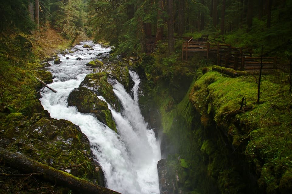
Parking
Follow Oil City Road to its end at Oil City Trailhead. The approach has paved and dirt sections; trailhead parking is at the road end. Restroom reports conflict, so plan for no toilet.
Olympic National Park, WA
A flat forest walk to the Hoh's driftwood-framed mouth.
Overview
Map & elevation
Plan your hike

The highest, rockiest slopes around here are a summer buffet for grizzly bears.
Olympic Tour Guide
Parkwolf is a GPS audio tour guide for Olympic National Park. As you drive, it chimes in with what’s ahead: hidden gems, upcoming stops, history, geology, and wildlife, right through your car’s speakers.
See the Olympic audio tourRecorded for this trailhead
Oil City Trail: The Hoh Meets the Pacific“You're approaching the Oil City trailhead, for a forest walk to where the Hoh River meets the Pacific.”
Plays as you drive up to this trailhead in the Parkwolf Olympic Tour Guide.
More stories near here in the app
“Fantastic app with many points of information… It’s great to just turn on while you’re driving and it gives you an audio tour of the national Park. We love it!!!!”


Trail guide
Oil City Trail is an easy out-and-back on maintained tread through coastal forest to the Pacific beach at the Hoh River's mouth. The mapped corridor is about 0.6 mile each way, so plan on roughly 1.2 miles round trip and about an hour and a half with time at the shore. One park page lists 0.8 mile without saying how it is measured; the South Coast route directions describe the beach-to-trailhead leg as 0.6 mile, matching the mapped trail. This is the short coast walk, not the much longer South Coast backpacking route.
The path stays nearly level under coastal forest, with openings across the Hoh and occasional glimpses of waves. Near the shore, a thick pile of driftwood separates the trees from the sand, so getting onto the beach means picking a careful way across the logs. The short trail has no river crossing; its end is the river mouth.
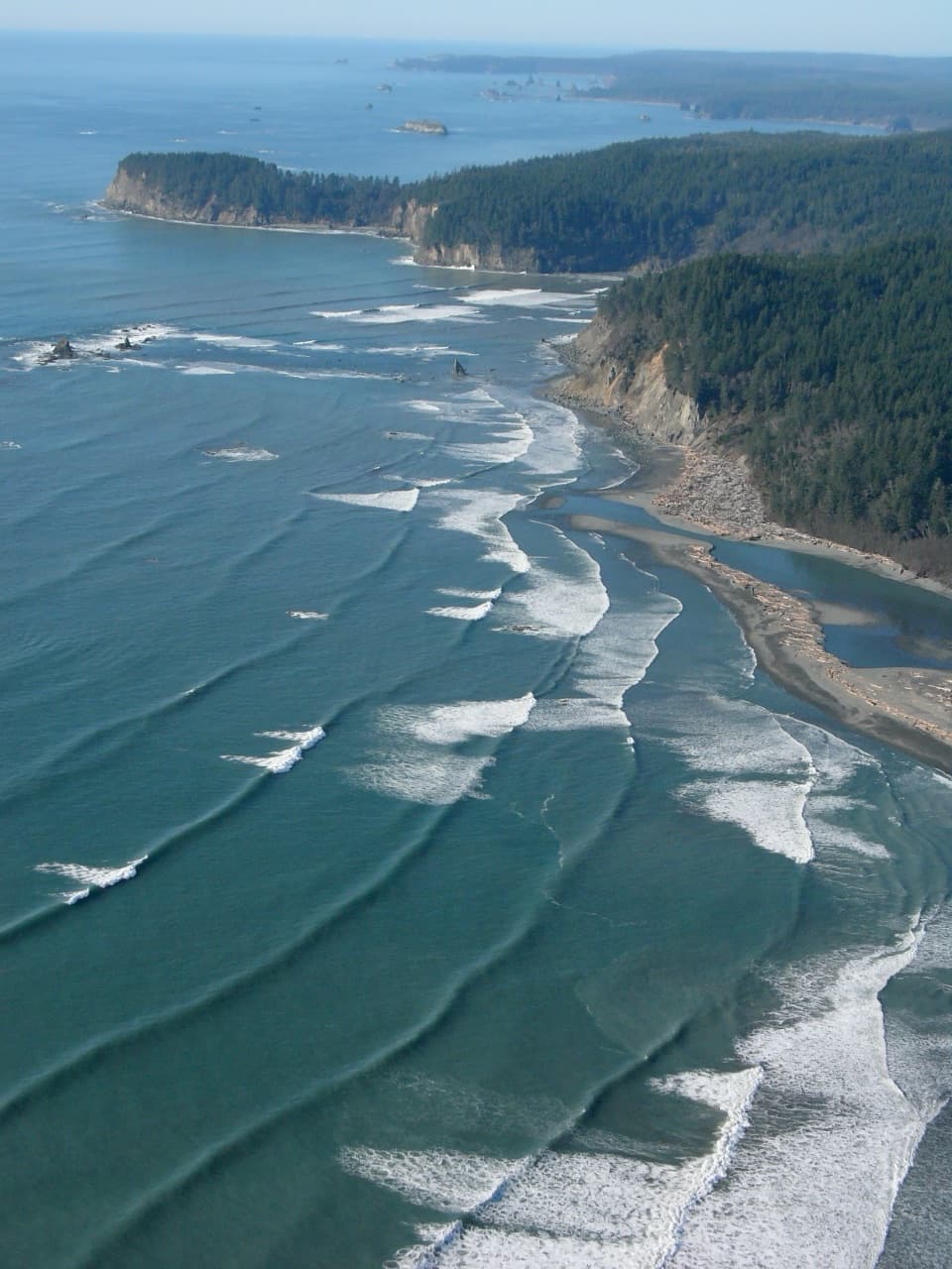
The Hoh meets the Pacific beside broad driftwood beaches, offshore sea stacks and forested headlands. Bald eagles and seals are among the coastal wildlife to look for; gray whales migrate along this coast in March and April, then again in October. Sightings are never guaranteed.
You can continue north along the beach to a boulder point for a longer outing of about 2.9 miles round trip, but that is an extension beyond this mapped trail. The shore gets rockier, and high tides can make headlands dangerous or impassable. Check a tide chart before walking farther, never round a hazardous headland at high water, and do not try to cross the Hoh River.
Follow Oil City Road to its end at Oil City Trailhead; parts of the approach are dirt. Descriptions disagree about whether a privy is available, so plan as if there is no restroom. Pets and wheeled devices are prohibited on coastal beaches and trails.
Wildlife
 710 sightingsOlympic MarmotMost seen around 11 AMSighting map
 30 sightingsHumpback WhaleMost seen around 6 PMSighting map
 42 sightingsGrey WhaleMost seen around noonSighting map
 23 sightingsMountain LionMost seen around 8 PMSighting map
 71 sightingsMountain GoatMost seen around 7 AMSighting map
 306 sightingsBald EagleMost seen around 11 AMSighting map
Sighting maps show where each species has been reported across Olympic. Wildlife moves, so no sighting is guaranteed.
Keep exploring
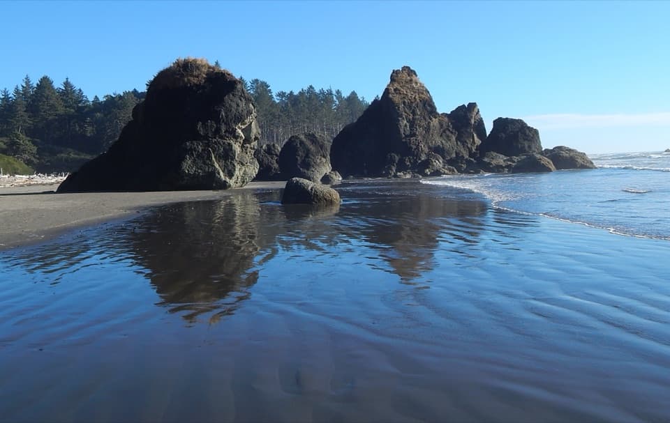 EasyRuby Beach Trail0.5 mi · 30 min · 2.7 mi awayA short bluff descent to tide pools and sea stacks.
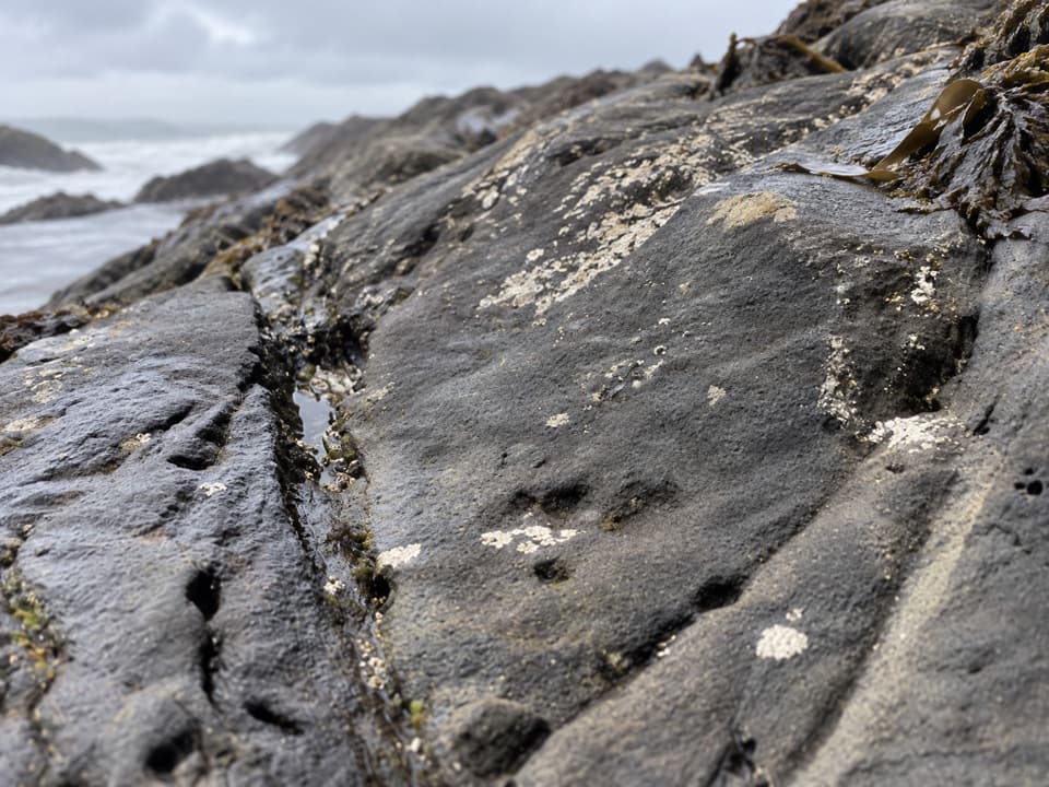 EasyBeach 6 Nature Trail0.4 mi · 21 min · 3.6 mi awayA brief forest descent to Beach 6’s rocky shore.
 EasyBig Cedar Trail (Kalaloch)0.3 mi · 20 min · 5.3 mi awayThe storm-split cedar is only the first stop on this short walk.
 ModerateBeach 4 Trail0.4 mi · 45 min · 6.9 mi awayA stairway to Kalaloch tide pools and a rugged Pacific beach.
 ModerateBeach 3 Trail0.3 mi · 45 min · 7.6 mi awayA steep forest stairway drops to tidepools and rocky shore.
 EasyKalaloch to Browns Point Trail3.2 mi · 2 hr · 9.6 mi awayTree roots and tide pools along an easy beach walk.
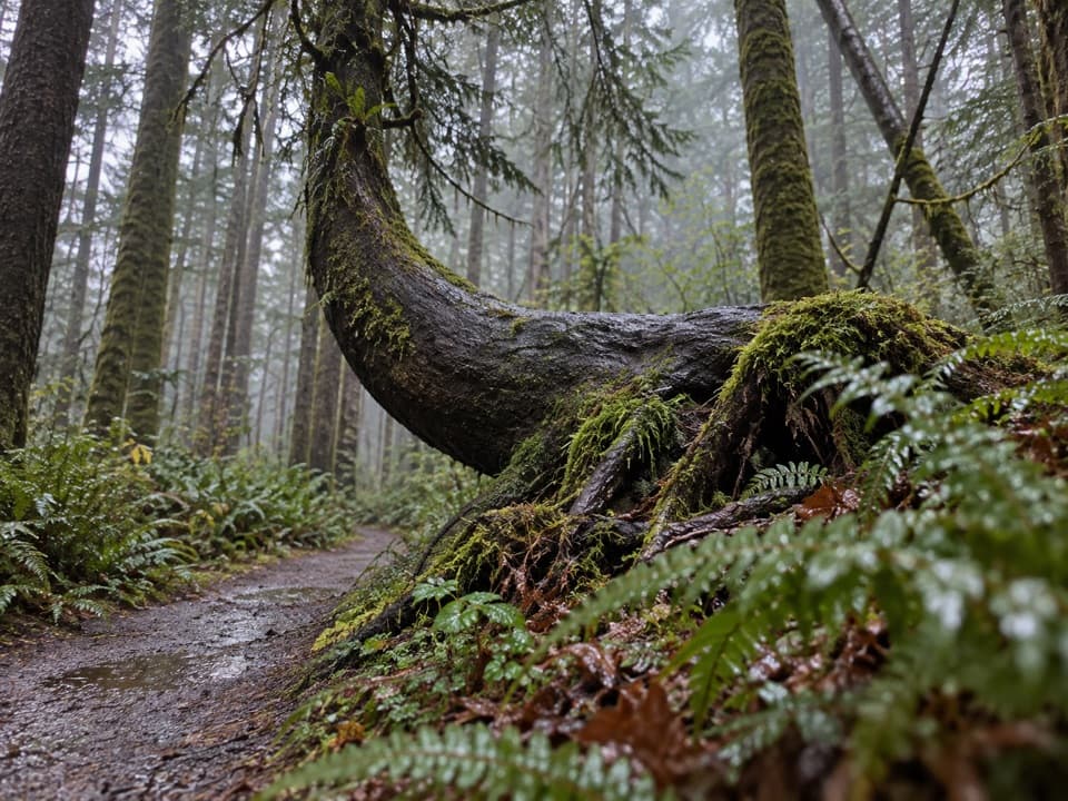 EasyKalaloch Nature Trail1 mi · 36 min · 9.8 mi awayMossy forest and a creek view on this easy Kalaloch loop.
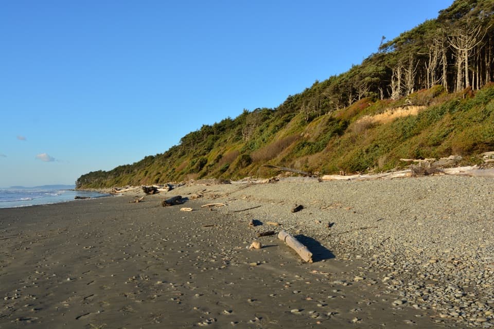 EasyBeach 2 Trail0.2 mi · 30 min · 11.2 mi awayA steep forest path drops to a driftwood-lined beach.
 Beach · 2.8 mi awayRuby BeachSea stacks, tide pools, and driftwood make low tide worth timing.
 Scenic pullout · 4.1 mi awayBeach 6 OverlookBinoculars might earn their keep on this Pacific pull-off.
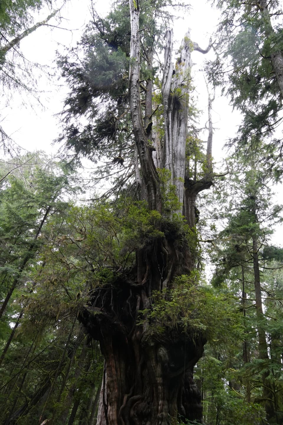 Sight · 5.3 mi awayKalaloch Big Cedar TreeA storm-split giant still towers over a pocket of coastal old growth.
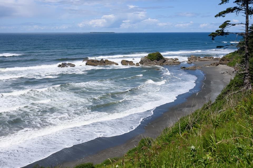 Beach · 6.9 mi awayKalaloch Beach 4Low-tide pools, sea stars and a Pacific overlookBeach · 7.6 mi awayKalaloch Beach 3Low-tide pools reward the short, steep path down to the coast.
 Sight · 9.6 mi awayTree of LifeA Sitka spruce with roots stretched above a bluff cave.
 Campground · 9.6 mi awayKalaloch CampgroundSome sites face the Pacific; others sit among the trees.
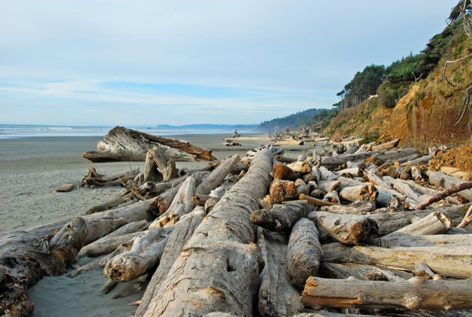 Beach · 9.8 mi awayKalaloch BeachWalk a driftwood-strewn shore and watch Pacific surf.
Parkwolf’s Olympic ranking

The audio tour guide for the drive, plus offline maps, trails, and wildlife heatmaps for when the signal drops.