Parking
Park at the South Fork Hoh Trailhead. A Washington Discover Pass is required; the route enters Olympic National Park after about 0.4 mile.

Olympic National Park, WA
A long rainforest walk to the South Fork’s riverside end
Overview
Map & elevation
Plan your hike

The highest, rockiest slopes around here are a summer buffet for grizzly bears.
Olympic Tour Guide
Parkwolf is a GPS audio tour guide for Olympic National Park. As you drive, it chimes in with what’s ahead: hidden gems, upcoming stops, history, geology, and wildlife, right through your car’s speakers.
See the Olympic audio tourMore stories near here in the app
“Fantastic app with many points of information… It’s great to just turn on while you’re driving and it gives you an audio tour of the national Park. We love it!!!!”


Trail guide
South Fork Hoh River Trail is a flat out-and-back through temperate rainforest on the Hoh’s southern branch, ending near the river. Plan on about 9.2 miles round trip and 4 to 5 hours. It suits you if you want a long forest walk and a quieter alternative to the main Hoh trails; skip it if you mainly want a short loop or a string of wide views. The posted 4.2-mile figure doesn’t say where it starts. From the named trailhead, the mapped line is about 4.6 miles each way, including the first 0.4 mile before it crosses into the park.
This is mostly a walk under a closed canopy, not a series of overlooks. Moss and lichen cover the trees, with ferns and wet undergrowth along the tread. Roots and stones can hide underfoot, and small creeks cross the path; wet rocks may be slick. The brush can soak your pants even in August. For much of the way you can hear the river without walking right beside it, so save your patience for the river view near the maintained trail’s end.
Start at the South Fork Hoh Trailhead. The route enters Olympic National Park after about 0.4 mile, and a Washington Discover Pass is required to park there. There are no toilet facilities. Pets aren’t allowed on this trail. Overnight hikers need a wilderness permit and bear canisters; treat or filter water from the river and streams.
Wildlife
 710 sightingsOlympic MarmotMost seen around 11 AMSighting map
 30 sightingsHumpback WhaleMost seen around 6 PMSighting map
 42 sightingsGrey WhaleMost seen around noonSighting map
 23 sightingsMountain LionMost seen around 8 PMSighting map
 71 sightingsMountain GoatMost seen around 7 AMSighting map
 306 sightingsBald EagleMost seen around 11 AMSighting map
Sighting maps show where each species has been reported across Olympic. Wildlife moves, so no sighting is guaranteed.
Keep exploring
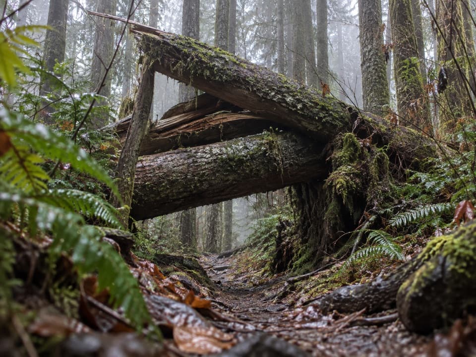 ChallengingSouth Snider-Jackson Trail10 mi · 8 hr · 3.5 mi awayA remote ridge crossing with a hazardous Bogachiel ford.
 EasyMini Rain Forest Trail0.2 mi · 9 min · 4.4 mi awayA quick loop past a bubbling creek, mosses, ferns and bridges.
 EasySpruce Nature Trail1.3 mi · 45 min · 4.4 mi awayA short Hoh loop for nurse logs and river views.
 ChallengingHoh River Trail34.8 mi · 20 hr · 4.4 mi awayRainforest for miles, then a steep climb to Glacier Meadows.
 ChallengingHoh Lake Trail29.4 mi · 15 hr · 4.4 mi awayA rainforest approach leads to a steep, exposed climb and subalpine lake.
 EasyHall of Mosses Trail0.8 mi · 54 min · 4.4 mi awayA moss-draped maple arch and a creek bridge in a short loop.
 ModerateLunch Lake Trail1.2 mi · 1.3 hr · 10.9 mi awayA rough half-mile drop to a lake with designated campsites.
 ChallengingAppleton Pass Trail14.8 mi · 9 hr · 12.1 mi awayA long climb past Sol Duc Falls to a high mountain pass.
 Entrance station · 3.4 mi awayHoh Entrance StationHandle passes, permits, and questions before the rainforest trails.
 Campground · 4.1 mi awayHoh Rain Forest CampgroundMossy old-growth camping, with a few riverside sites.
 Sight · 4.3 mi awayHoh Rain Forest Entrance SignA quick photo of the Hoh's roadside arrival sign.
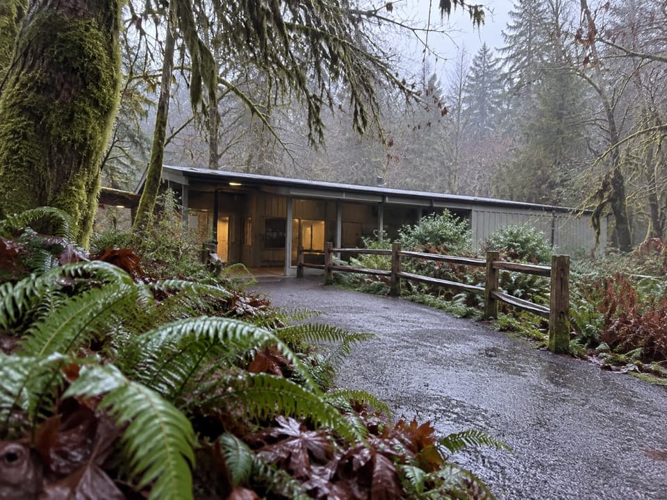 Visitor center · 4.4 mi awayHoh Rain Forest Visitor CenterStart here for ranger help and two mossy forest loops.
Parkwolf’s Olympic ranking

The audio tour guide for the drive, plus offline maps, trails, and wildlife heatmaps for when the signal drops.


