Parking
Sol Duc Trailhead is at the end of Sol Duc Hot Springs Road. The lot holds more than 100 vehicles and has restrooms; in summer it often fills, with cars lining the narrow road. Do not park on vegetation.

Olympic National Park, WA
A long climb past Sol Duc Falls to a high mountain pass.
Overview
Map & elevation
Plan your hike

The highest, rockiest slopes around here are a summer buffet for grizzly bears.
Olympic Tour Guide
Parkwolf is a GPS audio tour guide for Olympic National Park. As you drive, it chimes in with what’s ahead: hidden gems, upcoming stops, history, geology, and wildlife, right through your car’s speakers.
See the Olympic audio tourRecorded for this trailhead
Sol Duc Falls: The Short Forest Walk“You're nearing the Sol Duc Falls trailhead, for an old-growth forest walk to a waterfall that can split into several chutes.”
Plays as you drive up to this trailhead in the Parkwolf Olympic Tour Guide.
More stories near here in the app
“Fantastic app with many points of information… It’s great to just turn on while you’re driving and it gives you an audio tour of the national Park. We love it!!!!”


Trail guide
Appleton Pass Trail from Sol Duc is a strenuous out-and-back through Sol Duc Falls and old-growth river forest to a 5,100-foot pass. The official Sol Duc-side distance is 7.4 miles each way (14.8 miles round trip); expect a full day and about nine hours, with roughly 3,100 feet of vertical rise from the trailhead to the pass. The route branches toward Appleton Pass at the 4.9-mile junction, then returns on the same corridor. This is a long, hard day, and ordinary pets are not allowed on the wilderness trail.
The first stretch follows a wide, easy-grade path to Sol Duc Falls. A short fork beside the shelter reaches the falls bridge; return to the main tread to continue. Beyond the falls, the path narrows and softens beneath fir, hemlock and occasional spruce, with streams and backcountry camps along the valley. Around 3.5 miles, the trail makes a rocky uphill push beside the river. A twin waterfall is visible across the water but cannot be reached from this route. The Appleton junction is about 4.9 miles from the trailhead.
At the junction, take the Appleton Pass branch for 2.6 miles, climbing from about 3,000 to 5,100 feet. This is the steep, strenuous part of the hike. The forest thins into subalpine meadow near the pass, where the route opens to views across the surrounding valleys. The hike ends at the pass before you retrace the same trail to Sol Duc.
A separate spur near the pass reaches Oyster Lake. Taking it adds mileage beyond the 14.8-mile round trip, so allow extra time if you add it. The lake below Mount Appleton is the standout place to pause for the mountain-and-water view.
Snow commonly lingers into early or mid-July on high ground, and the upper slopes can hold snow in any season. When snow covers the steep trail, navigation and self-arrest skills with an ice axe may be needed. Treat water collected from streams or lakes. Restrooms are at the trailhead, with none farther along the route. Overnight camping requires a wilderness permit and bear canister; campfires are prohibited above 3,500 feet.
Wildlife
 710 sightingsOlympic MarmotMost seen around 11 AMSighting map
 30 sightingsHumpback WhaleMost seen around 6 PMSighting map
 42 sightingsGrey WhaleMost seen around noonSighting map
 23 sightingsMountain LionMost seen around 8 PMSighting map
 71 sightingsMountain GoatMost seen around 7 AMSighting map
 306 sightingsBald EagleMost seen around 11 AMSighting map
Sighting maps show where each species has been reported across Olympic. Wildlife moves, so no sighting is guaranteed.
Keep exploring
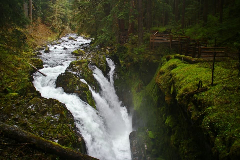 EasySol Duc Falls Nature Trail1.6 mi · 45 min · At the trailheadOld-growth shade ends at a bridge over a roaring canyon.
 ChallengingHigh Divide Loop (Seven Lakes Basin)19 mi · 12 hr · At the trailheadA long ridge loop over a basin of eight alpine lakes.ModerateLover’s Lane Loop Trail6 mi · 3.5 hr · At the trailheadA shaded river loop ends at a waterfall in old growth.
 ModerateDeer Lake Trail7.6 mi · 5 hr · At the trailheadA forest climb beside cascades ends at two nearby lakes.
 ChallengingSol Duc River Trail16.8 mi · 12 hr · At the trailheadA river climb that ends at Heart Lake and the High Divide.
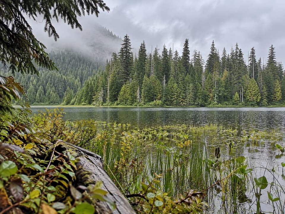 ModerateMink Lake Trail5.2 mi · 4 hr · 1.7 mi awayA steady forest climb to a small lake tucked into meadow.ModerateLunch Lake Trail1.2 mi · 1.3 hr · 3.6 mi awayA rough half-mile drop to a lake with designated campsites.
 EasyAncient Groves Nature Trail0.6 mi · 45 min · 4.7 mi awayA mossy forest loop with a much hillier tread than it looks.
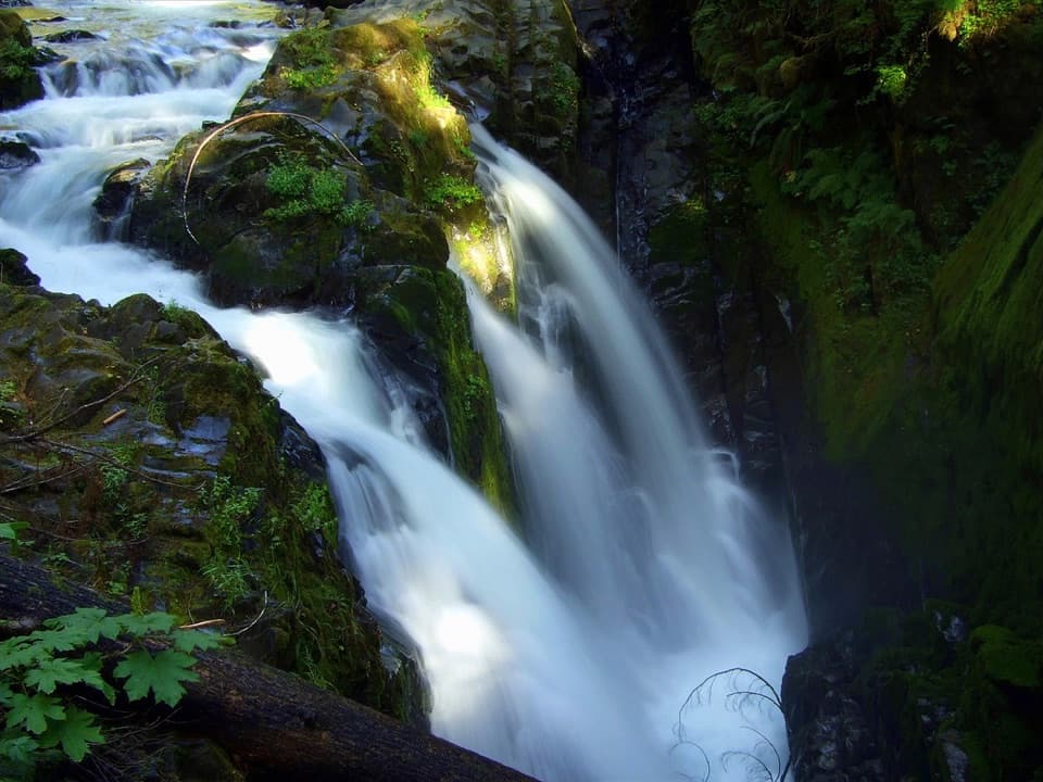 Sight · 0.7 mi awaySol Duc FallsA 48-foot cascade drops through a narrow, rocky canyon.
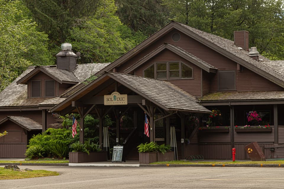 Sight · 1.6 mi awaySol Duc Hot Springs ResortThree mineral pools, plus a cooler dip in the Sol Duc valley.
 Campground · 1.7 mi awaySol Duc Hot Springs RV Park and CampgroundCamp under old-growth trees, with Sol Duc Falls nearby.
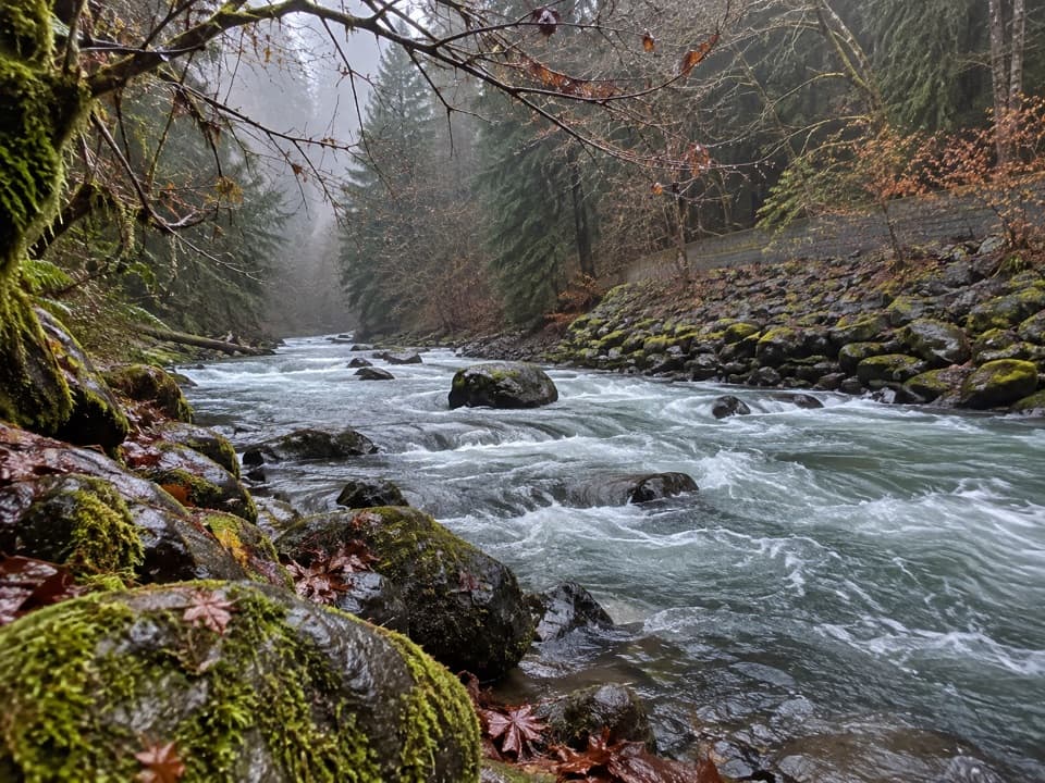 Picnic area · 5.9 mi awayPicnic Area along Sol Duc RiverA picnic break beside the Sol Duc River.
 Sight · 6.2 mi awaySalmon CascadesA short platform stop for the cascades and coho run.
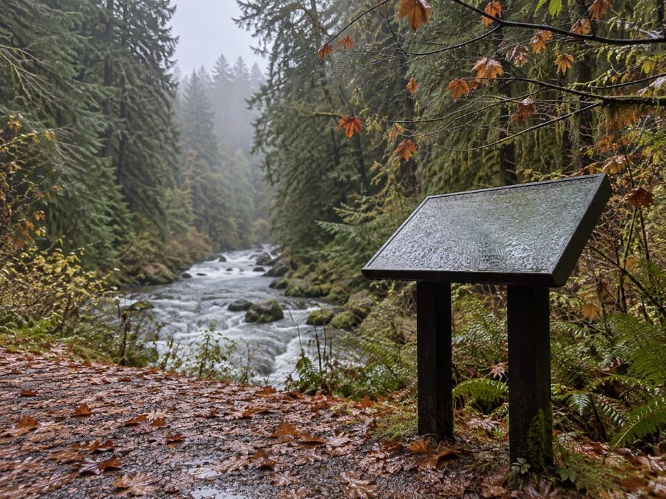 Picnic area · 6.7 mi awaySol Duc River View Picnic AreaA picnic table above the river’s fast, foamy run.
 Sight · 6.9 mi awayMarymere FallsA mossy old-growth walk ends at a two-level waterfall view.
 Picnic area · 7 mi awayLa Poel Picnic AreaFire rings, tree shade, and a glimpse of Lake Crescent.
Parkwolf’s Olympic ranking

The audio tour guide for the drive, plus offline maps, trails, and wildlife heatmaps for when the signal drops.


