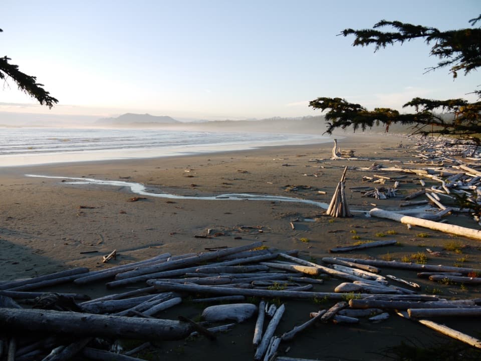
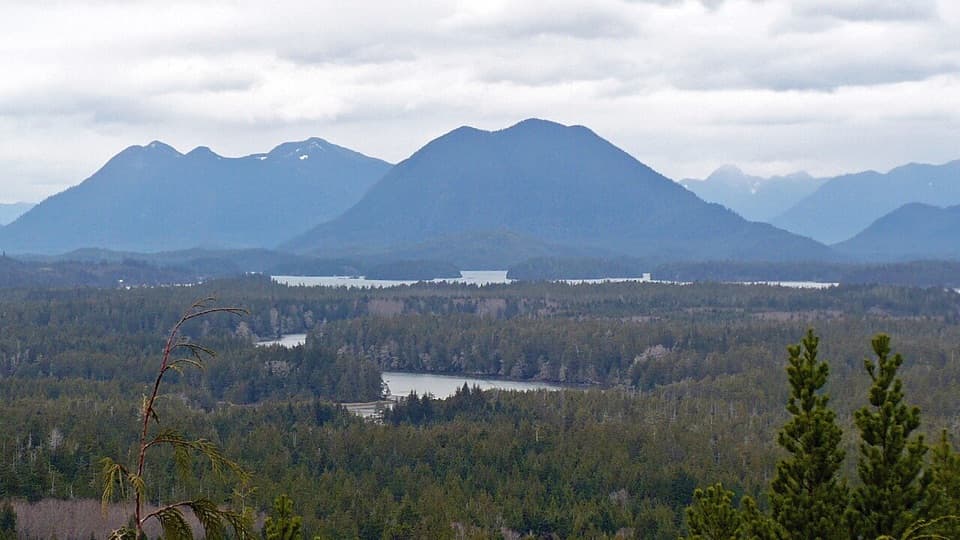
Halfmoon Bay Beach in Pacific Rim National Park Reserve

Beach · Pacific Rim National Park Reserve

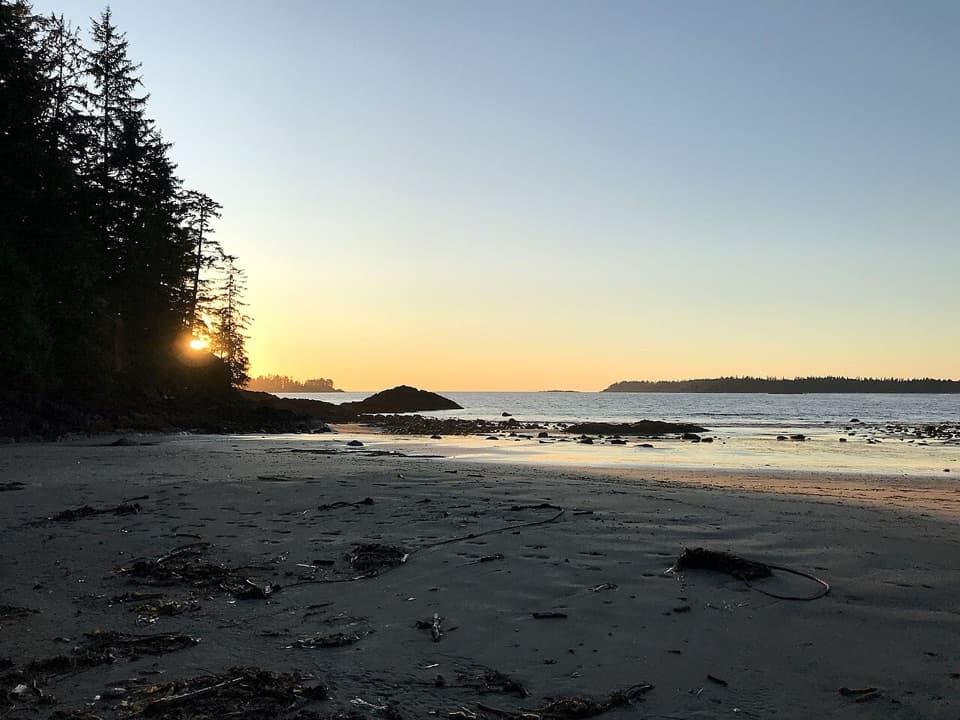
Halfmoon Bay Beach

A quieter cove reached by a stair-heavy forest walk.

Photo: Wikimedia Commons
Type
Beach
Nearest trail
1.5 km
Audio stories
3 nearby
  • Trailhead
  • Restrooms
  • Parking

Hear the audio tour

Willowbrae Access to Halfmoon Bay

Overview

About Halfmoon Bay Beach

Why stop

  • Sheltered sand and low-tide pools make a quieter cove stop.

Heads up

  • Long stairs and muddy footing make this more than a quick beach visit.

Map

Where it is

Loading the Pacific Rim map
Full map
BeachHalfmoon Bay Beach48.97746, -125.61458
Keep this map with you offline in the Parkwolf app

Plan your stop

Before you go

7 active Pacific Rim alerts

  • CautionWolf warning in Long Beach UnitMentions Long Beach Unit, referenced in this guideA wolf warning remains active in the Long Beach Unit; leave pets at home because dogs attract wolves. Check current trail conditions before travelling.Official details
  • CautionLong Beach trails: limited access and boardwalk hazardsMentions Long Beach, referenced in this guideShorepine Bog and Willowbrae trails have limited access, and Combers Beach Trail is rated Caution; use care and follow posted signs.Official details
See all 7 alerts
A park ranger sits on a dash-mounted phone, talking, as Parkwolf’s Tour Guide plays “Army Cutworm Moths: A Grizzly Bear Buffet” on Grand Loop Road below Dunraven Pass in Yellowstone
Parkwolf Tour GuideThe highest, rockiest slopes around here are a summer buffet for grizzly bears.

Pacific Rim Tour Guide

Your drive to Halfmoon Bay Beach, narrated.

Parkwolf is a GPS audio tour guide for Pacific Rim National Park Reserve. As you drive, it chimes in with what’s ahead: hidden gems, upcoming stops, history, geology, and wildlife, right through your car’s speakers.

See the Pacific Rim audio tour

Recorded for this place

Willowbrae Access to Halfmoon Bay
0:00 / 0:23
“Up ahead is the Willowbrae trail access for Halfmoon Bay, a small sheltered cove reached on foot. Choose this walk for the sandy beach and pools exposed among the rocks at low tide.”

Plays as you drive up to Halfmoon Bay Beach in the Parkwolf Pacific Rim Tour Guide.

More stories near here in the app

  • Why Dunes Need Moving Sand
  • Pacific Rim Visitor Centre
  • A Bill Built for Shellfish
  • Florencia Bay North
  • 34 audio storiesacross Pacific Rim’s roads, triggered by GPS as you drive
  • Wildlife heatmapsfor Orca, Humpback Whale, Black Bear, and 13 more
  • Works offlinemaps, 19 trails, 52 places, and audio download before you lose signal
  • CarPlay readysimple controls built for the drive
★★★★★
“Fantastic app with many points of information… It’s great to just turn on while you’re driving and it gives you an audio tour of the national Park. We love it!!!!”
JMJamesApp Store review
Download Parkwolf on the App StoreGet Parkwolf on Google Play

4.7 from 8,600+ ratings

Guide

More about Halfmoon Bay Beach

The cove and the decisionHalfmoon Bay is a small, sheltered sandy beach at the end of a wooded branch trail in the Long…

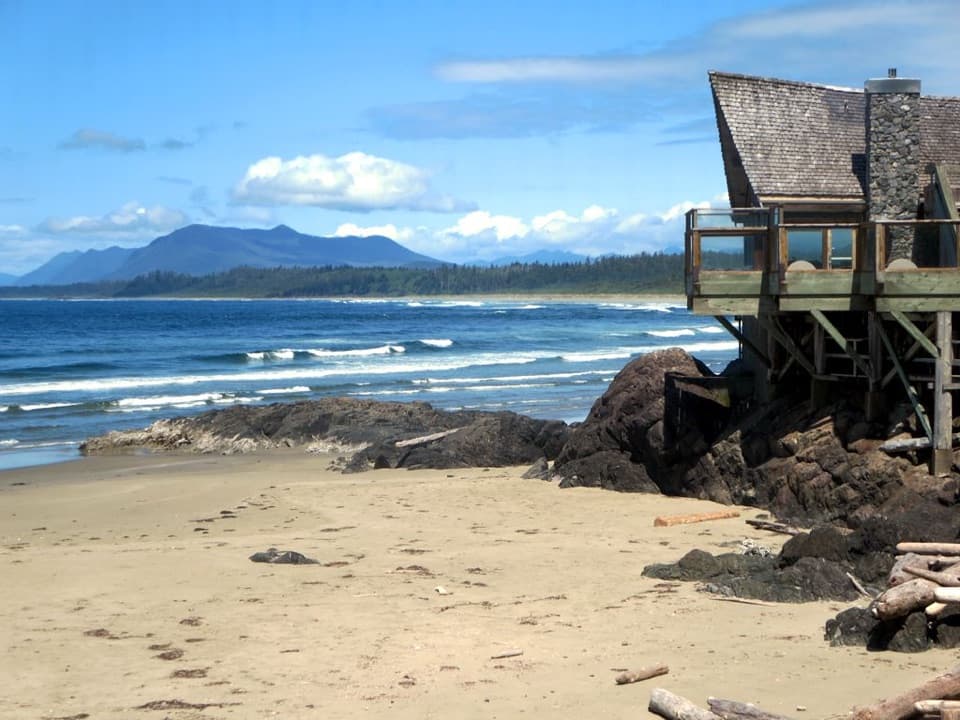
Halfmoon Bay is a small, sheltered sandy beach at the end of a wooded branch trail in the Long Beach Unit. It is one of the less-frequented beaches in the area. Come for a quieter cove and low-tide pools if a stair-heavy walk suits you; this is a 3.6 km return trip, not a roadside stop.

Getting down to the sandFrom the Willowbrae Trailhead, the Halfmoon Bay branch starts about 1.3 km into the route.

From the Willowbrae Trailhead, the Halfmoon Bay branch starts about 1.3 km into the route. The full walk is 1.8 km each way and rated moderate. Expect an 80 cm boardwalk section, muddy stretches, and long flights of stairs down to the beach. The stairs are the main commitment, so this is a poor fit if you can't comfortably manage them.

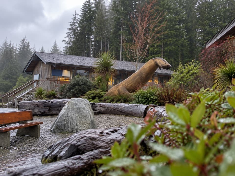
Willowbrae Road turns off Highway 4 about 2 km south of the Ucluelet–Tofino junction, then runs about 250 m over gravel to the trailhead. The trailhead isn't signed from the highway and park visitor parking is very limited. Nearby spaces serve Wya Point Resort, so don't count on them. The trailhead lot has a composting outhouse; no beach-side facilities are listed.

Go at low tideLow water exposes pools among the rocks.

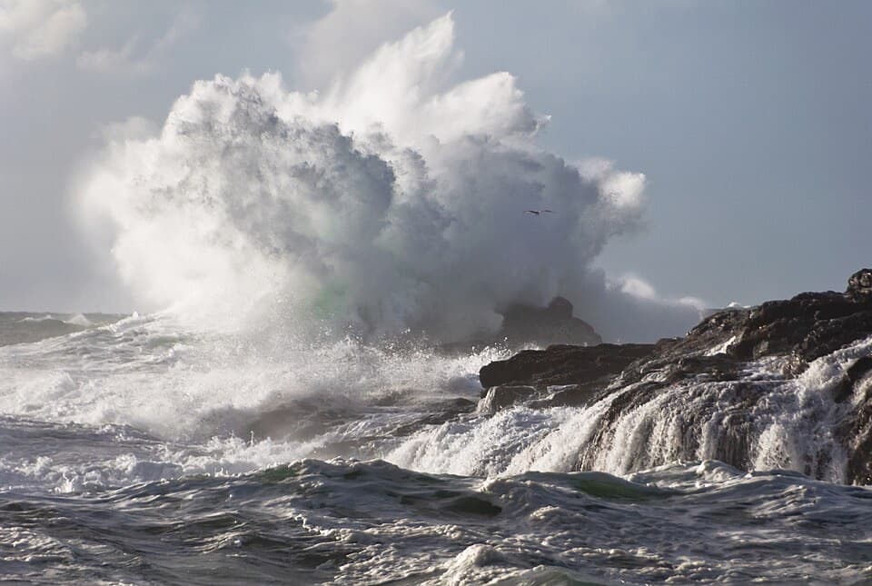
Low water exposes pools among the rocks. At the bottom of the stairs, walk left along the rocky edge to reach them; plan around the tide if that's your reason for coming. Winter storms and erosion can make access to the beach more difficult.

Notice the forest on the wayThe approach passes through old-growth cedar-hemlock forest before descending through spruce…

The approach passes through old-growth cedar-hemlock forest before descending through spruce near the beach. Fallen trees become nurseries for new seedlings, growing from the decaying wood. It gives the walk something to notice before the cove opens up.

Wildlife

Wildlife in Pacific Rim

All Pacific Rim wildlife maps

Sighting maps show where each species has been reported across Pacific Rim. Wildlife moves, so no sighting is guaranteed.

Parkwolf’s Pacific Rim ranking

Top sights in Pacific Rim

All 52 places
  1. 1Long BeachBeach
  2. 2Wickaninnish BeachBeach
  3. 3Tsusiat FallsSight
  4. 4Incinerator RockSight
  5. 5Owen Point Sea CavesSight
  6. 6Radar HillSight

Take Parkwolf to Pacific Rim.

The audio tour guide for the drive, plus offline maps, trails, and wildlife heatmaps for when the signal drops.

4.7 from 8,600+ ratings

Download Parkwolf on the App StoreGet Parkwolf on Google Play