Useful roadside facilities
There’s plentiful parking for regular vehicles and RVs, public Wi-Fi, accessible public washrooms, and secure garbage and recycling boxes. Food service isn’t listed here, so plan a meal separately.
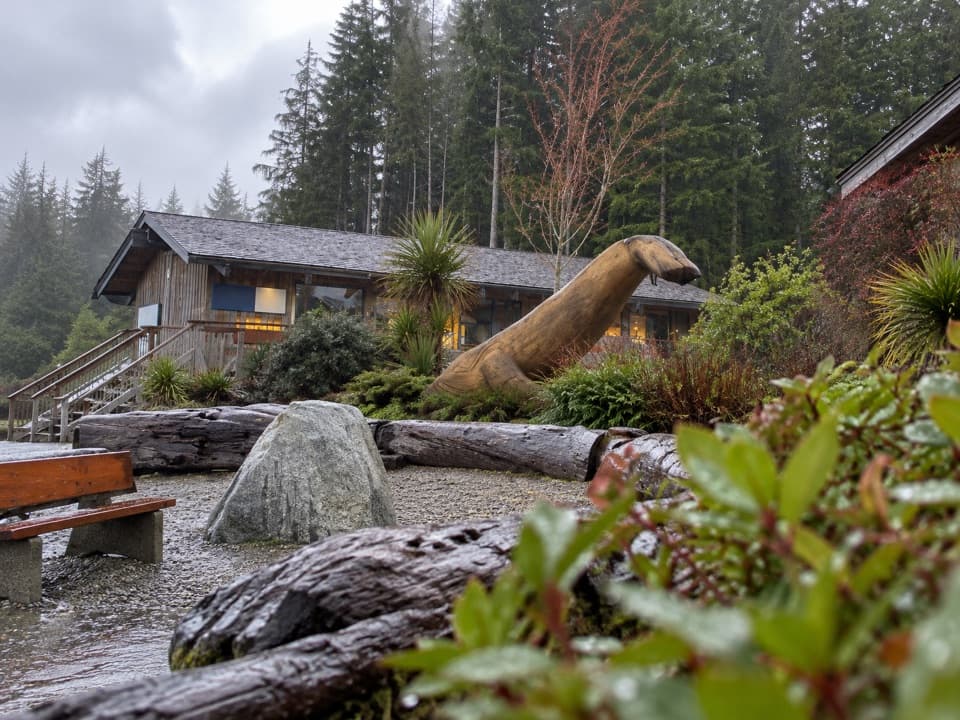
Visitor center · Pacific Rim National Park Reserve
Get park maps and pass advice before choosing your next stop.
Overview
Map
Plan your stop

The highest, rockiest slopes around here are a summer buffet for grizzly bears.
Pacific Rim Tour Guide
Parkwolf is a GPS audio tour guide for Pacific Rim National Park Reserve. As you drive, it chimes in with what’s ahead: hidden gems, upcoming stops, history, geology, and wildlife, right through your car’s speakers.
See the Pacific Rim audio tourRecorded for this place
Pacific Rim Visitor Centre“You're approaching Pacific Rim Visitor Centre at the junction for Tofino and Ucluelet.”
Plays as you drive up to Pacific Rim Visitor Centre in the Parkwolf Pacific Rim Tour Guide.
More stories near here in the app
“Fantastic app with many points of information… It’s great to just turn on while you’re driving and it gives you an audio tour of the national Park. We love it!!!!”


Guide
Pacific Rim Visitor Centre is a staffed information stop on Highway 4 at the junction for Tofino and Ucluelet, just after the drive from Port Alberni. It’s a useful first stop if you want help choosing which stretch of coast to explore: staff can point you to large regional maps, park maps, trail and activity information, and local conditions. Visitors especially value the knowledgeable advice. If you already know your plan, keep this as a practical pause, not a destination that needs a long visit.
If you’re headed to the Long Beach Unit, ask staff about the entry pass before leaving the junction. Parks Canada requires a valid pass to be displayed in your vehicle while stopped in that unit.
Wildlife
 11 sightingsOrcaMost seen around 10 AMSighting map
 16 sightingsHumpback WhaleMost seen around 5 PMSighting map
 174 sightingsBlack BearMost seen around 8 PMSighting map
 16 sightingsSea OtterMost seen around 6 PMSighting map
 134 sightingsSteller Sea LionMost seen around 6 PMSighting map
 18 sightingsCalifornia Sea LionMost seen around noonSighting map
Sighting maps show where each species has been reported across Pacific Rim. Wildlife moves, so no sighting is guaranteed.
Keep exploring
 ModerateHalfmoon Bay Trail3.6 km · 1.8 hr · 1.9 km awayA small sheltered bay waits beyond a stair-heavy forest walk.
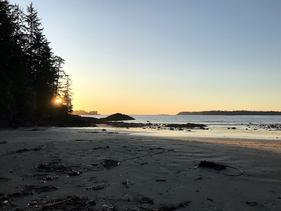 ModerateWillowbrae Trail2.8 km · 1.5 hr · 1.9 km awayA historic forest walk ending in steep stairs to Florencia Bay.
 EasyFlorencia Bay North Beach Access0.6 km · 30 min · 4.9 km awayA short trail drops to sand, surf, and a forested islet.
 EasyShorepine Bog Trail0.8 km · 15 min · 5.4 km awayA short boardwalk loop through stunted shore pines and open bog.
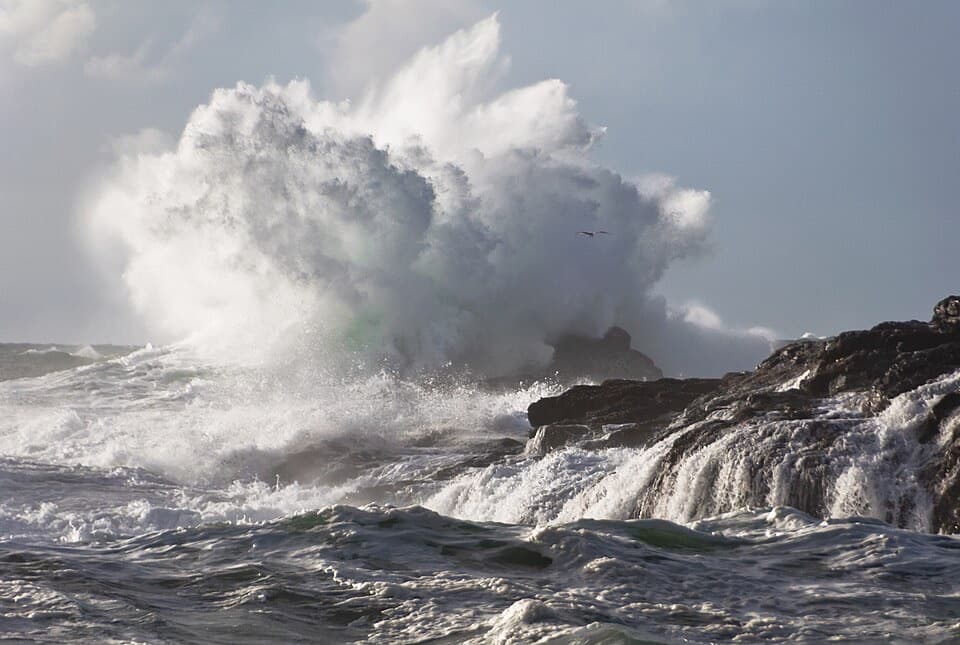 ModerateSouth Beach Trail1.6 km · 45 min · 6.7 km awayA short walk to hear waves wash over a pebble beach.Beach · 2.6 km awayHalfmoon Bay BeachA quieter cove reached by a stair-heavy forest walk.Beach · 3.2 km awayFlorencia BayA five-kilometre Pacific beach, best explored at low tide.Beach · 6.6 km awaySouth BeachA short, hilly walk ends where the waves put on a show.
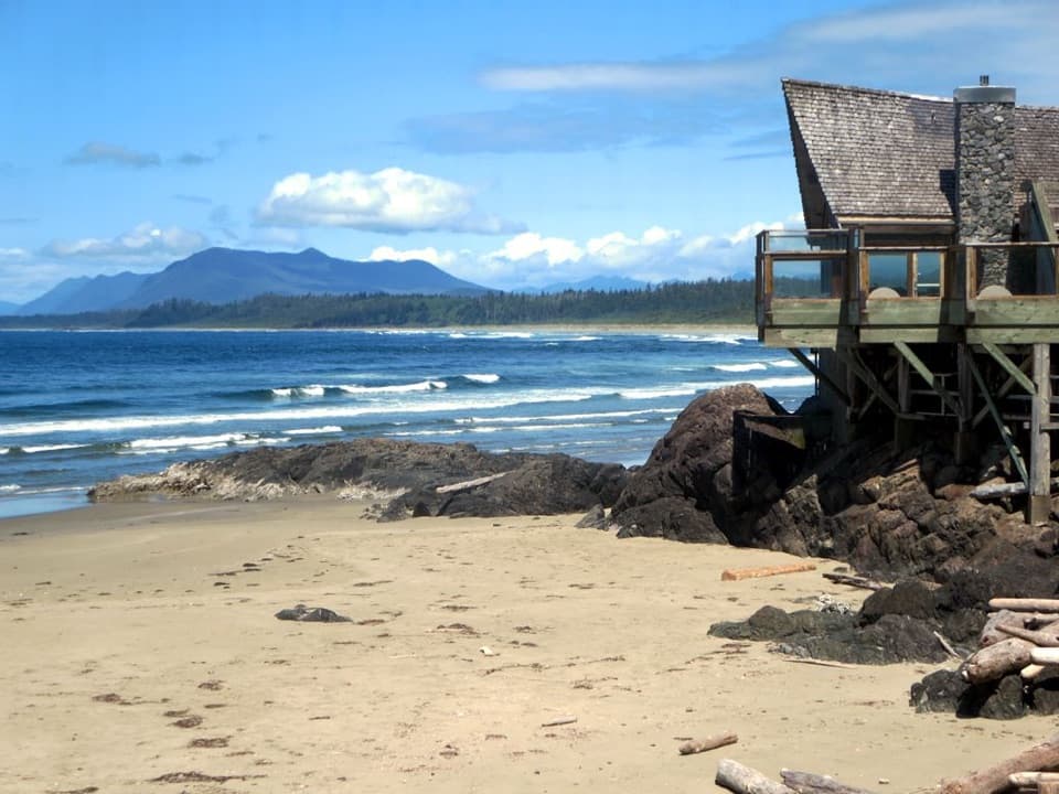 Visitor center · 6.7 km awayKwisitis Visitor CentreExhibits and a Pacific view above Wickaninnish Beach.
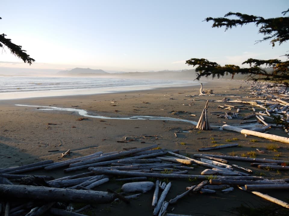 Beach · 7.9 km awayWickaninnish BeachDriftwood, wide sand and Pacific surf make this a proper beach stop.
Parkwolf’s Pacific Rim ranking

The audio tour guide for the drive, plus offline maps, trails, and wildlife heatmaps for when the signal drops.