South Beach in Pacific Rim National Park Reserve

#10 of 21 sights in Pacific Rim

Beach · Pacific Rim National Park Reserve

South Beach

A short, hilly walk ends where the waves put on a show.

Photo: Wikimedia Commons
Type
Beach
Nearest trail
0.8 km
Audio stories
5 nearby
  • Trailhead
  • Parking
  • Visitor center
  • Restrooms

Hear the audio tour

Kwisitis Visitor Centre and South Beach

Overview

About South Beach

Why stop

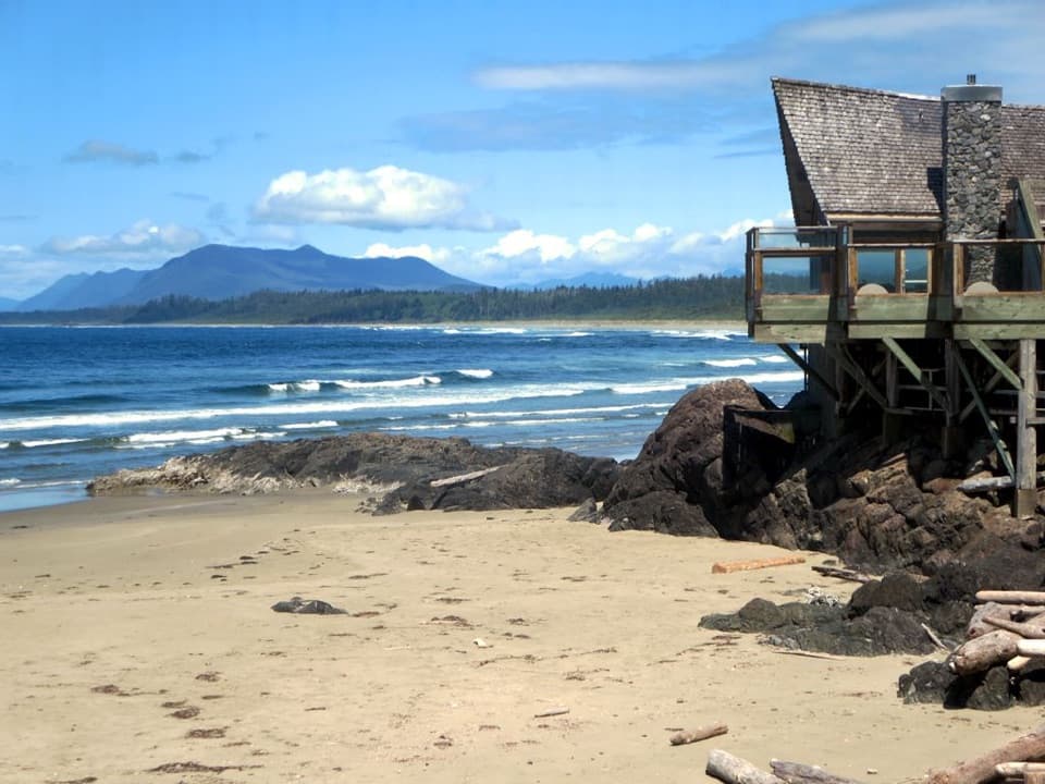
  • Large rock formations make the surf especially dramatic.

Heads up

  • The final beach approach is steep and stair-heavy.

Map

Where it is

Loading the Pacific Rim map
Full map
BeachSouth Beach49.00629, -125.67616
Keep this map with you offline in the Parkwolf app

Plan your stop

Before you go

7 active Pacific Rim alerts

  • CautionWolf warning in Long Beach UnitMentions Long Beach Unit, referenced in this guideA wolf warning remains active in the Long Beach Unit; leave pets at home because dogs attract wolves. Check current trail conditions before travelling.Official details
  • CautionLong Beach trails: limited access and boardwalk hazardsMentions Long Beach, referenced in this guideShorepine Bog and Willowbrae trails have limited access, and Combers Beach Trail is rated Caution; use care and follow posted signs.Official details
See all 7 alerts
A park ranger sits on a dash-mounted phone, talking, as Parkwolf’s Tour Guide plays “Army Cutworm Moths: A Grizzly Bear Buffet” on Grand Loop Road below Dunraven Pass in Yellowstone
Parkwolf Tour GuideThe highest, rockiest slopes around here are a summer buffet for grizzly bears.

Pacific Rim Tour Guide

Your drive to South Beach, narrated.

Parkwolf is a GPS audio tour guide for Pacific Rim National Park Reserve. As you drive, it chimes in with what’s ahead: hidden gems, upcoming stops, history, geology, and wildlife, right through your car’s speakers.

See the Pacific Rim audio tour

Recorded for this place

Kwisitis Visitor Centre and South Beach
0:00 / 0:34
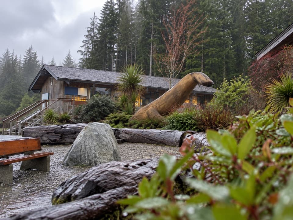
“You're nearing Kwisitis Visitor Centre, above the south end of Wickaninnish Beach. I'd stop for the exhibits as well as the deck: look for the replica longhouse and the displays connecting salmon with the rainforest.”

Plays as you drive up to South Beach in the Parkwolf Pacific Rim Tour Guide.

More stories near here in the app

  • Wickaninnish Beach
  • Florencia Bay North
  • Shorepine Bog Trail
  • Trees Growing from Trees
  • 34 audio storiesacross Pacific Rim’s roads, triggered by GPS as you drive
  • Wildlife heatmapsfor Orca, Humpback Whale, Black Bear, and 13 more
  • Works offlinemaps, 19 trails, 52 places, and audio download before you lose signal
  • CarPlay readysimple controls built for the drive
★★★★★
“Fantastic app with many points of information… It’s great to just turn on while you’re driving and it gives you an audio tour of the national Park. We love it!!!!”
JMJamesApp Store review
Download Parkwolf on the App StoreGet Parkwolf on Google Play

4.7 from 8,600+ ratings

Guide

More about South Beach

A wave-watching beachSouth Beach is a pebble beach reached by a short branch trail behind Kwisitis Visitor Centre in…

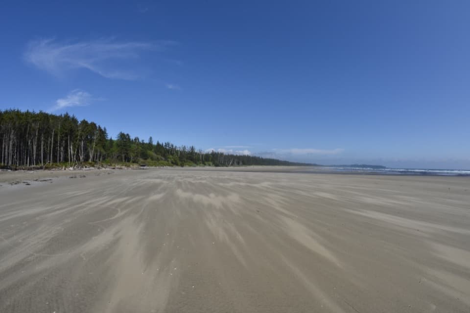
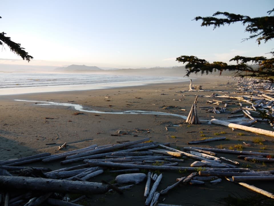
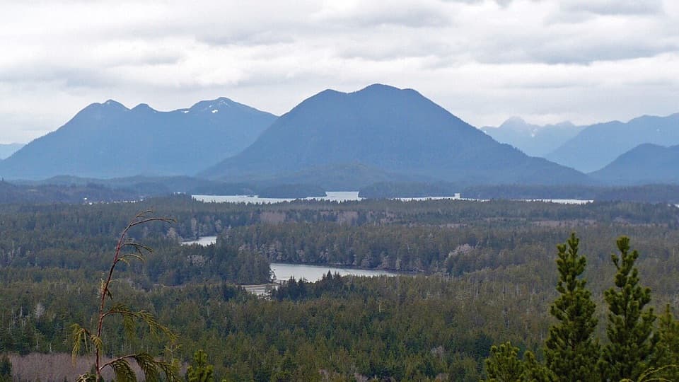
South Beach is a pebble beach reached by a short branch trail behind Kwisitis Visitor Centre in Pacific Rim’s Long Beach Unit. Come for the Pacific surf and large rock formations, not a swim: very large waves and strong currents can make the shore dangerous, and water activities aren’t recommended. The 800 m walk each way makes it a worthwhile stop if you want a dramatic shoreline without a long hike.

Getting down to the shoreThe route branches from Nuu-chah-nulth Trail behind the visitor centre.

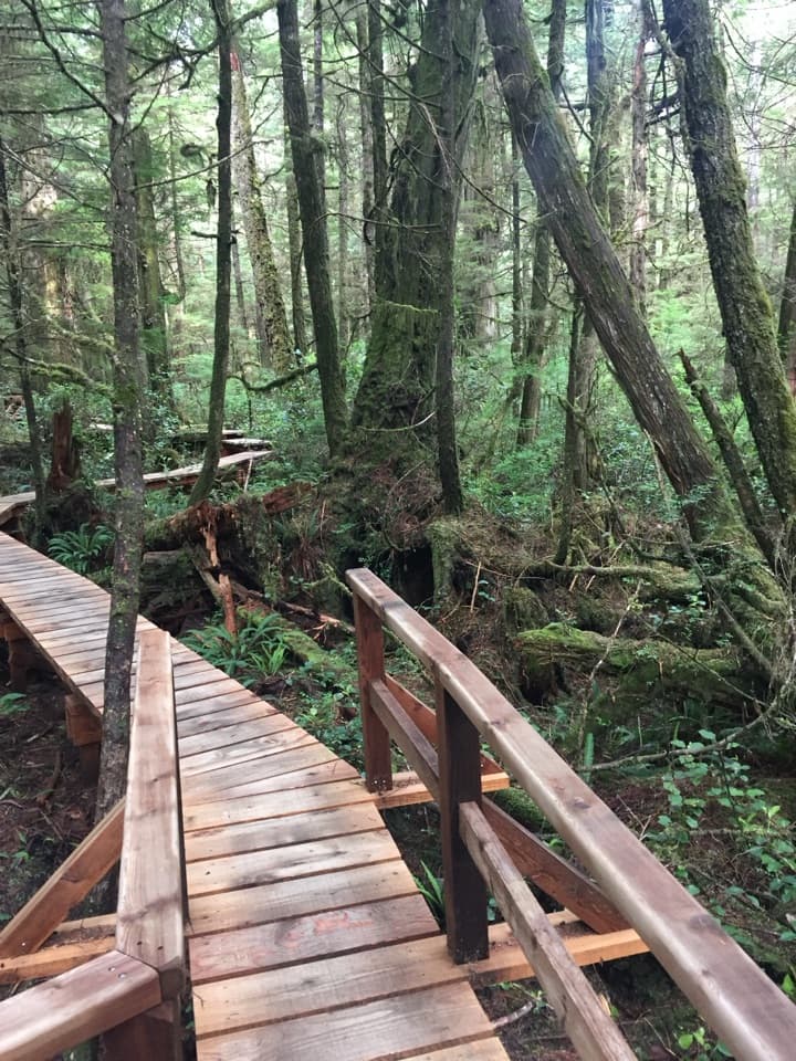
The route branches from Nuu-chah-nulth Trail behind the visitor centre. It’s moderate, with asphalt, gravel and boardwalk underfoot. Near the end, the path narrows to about 0.8 m and includes a steep ramp and stairs down to the beach. The last access can be steep and eroded, so expect a climb back and take care on the descent. The boardwalk sections and stairs have handrails, but the beach route isn’t step-free.

Parking is at Kwisitis Visitor Centre; washrooms are available there when it’s open and at the Wickaninnish Day Use Area. A national park entry pass is required. The centre also has exhibits and a First Nations gift shop.

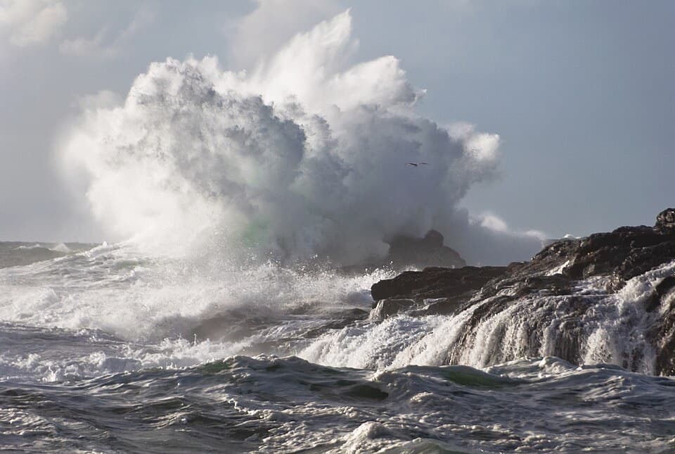
Watch the wavesThe draw is the contrast between bright spray, dark rocks and a shore of rounded stones.

The draw is the contrast between bright spray, dark rocks and a shore of rounded stones. For a photo, frame a breaking wave against the rock formations from a secure spot well back from the water. Surges can run up the beach unexpectedly, so this isn’t a place to chase a wave for a closer shot.

A route with a deeper storySouth Beach Trail branches from Nuu-chah-nulth Trail, whose interpretation introduces…

South Beach Trail branches from Nuu-chah-nulth Trail, whose interpretation introduces Nuu-chah-nulth culture and the principle Hishuk ish ts’awalk, described as “everything is one,” alongside Isaak, or respect. Nuu-chah-nulth people have lived along Vancouver Island’s west coast for millennia and continue to manage their lands and territories. Give the signs along the approach a look; the walk carries a cultural story as well as a beach at the end.

Wildlife

Wildlife in Pacific Rim

All Pacific Rim wildlife maps

Sighting maps show where each species has been reported across Pacific Rim. Wildlife moves, so no sighting is guaranteed.

Keep exploring

Near South Beach

See it all on the map

Trails nearby

More stops nearby

Parkwolf’s Pacific Rim ranking

Top sights in Pacific Rim

All 52 places
  1. 1Long BeachBeach
  2. 2Wickaninnish BeachBeach
  3. 3Tsusiat FallsSight
  4. 4Incinerator RockSight
  5. 5Owen Point Sea CavesSight
  6. 6Radar HillSight

Take Parkwolf to Pacific Rim.

The audio tour guide for the drive, plus offline maps, trails, and wildlife heatmaps for when the signal drops.

4.7 from 8,600+ ratings

Download Parkwolf on the App StoreGet Parkwolf on Google Play