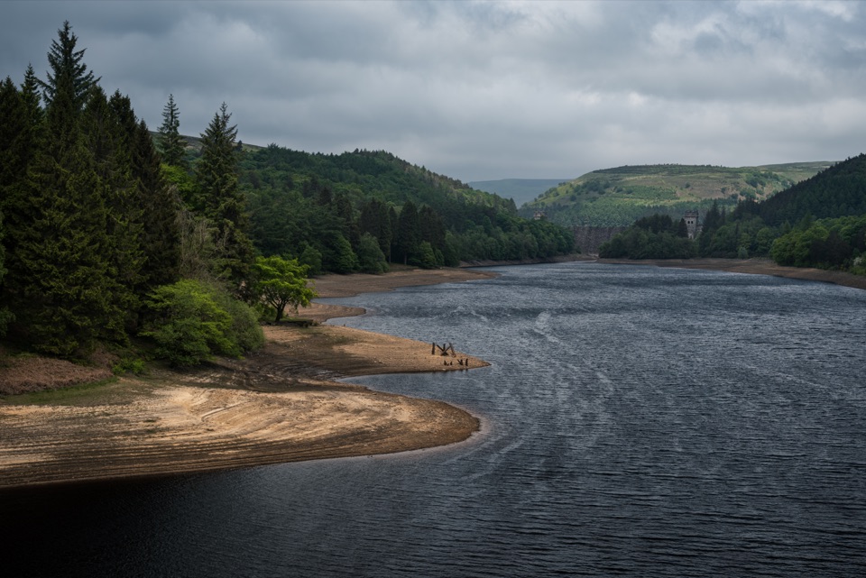
Bleaklow B-29 Superfortress Crash Site in Peak District National Park

Sight · Peak District National Park

Bleaklow B-29 Superfortress Crash Site

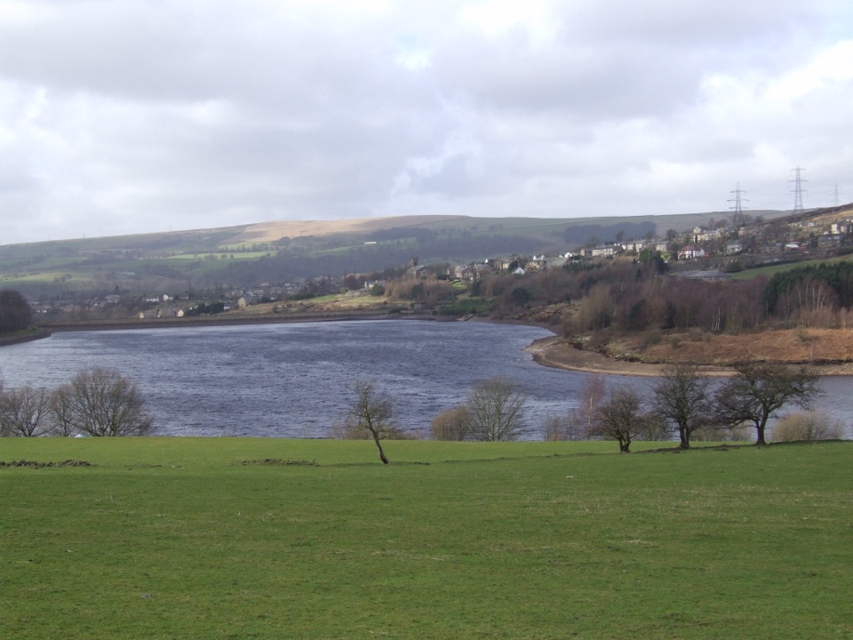
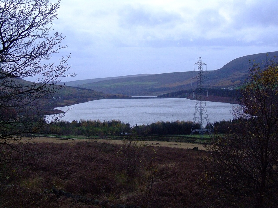
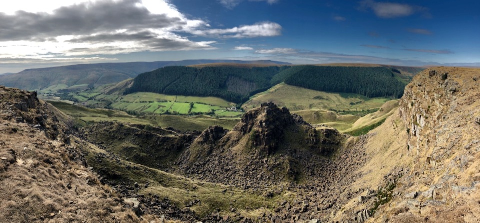
Scattered bomber wreckage and a memorial deep on open moorland

Photo: Wikimedia Commons
Type
Sight
Nearest trail
2 km
Audio stories
2 nearby
  • #31 of 69 sights

Hear the audio tour

Bleaklow B-29 Crash Memorial

Overview

About Bleaklow B-29 Superfortress Crash Site

Why stop

  • Unusually intact bomber wreckage in a stark open-moor setting
  • A powerful memorial and aviation-history experience

Heads up

  • Exposed, boggy and poorly waymarked approach
  • Weather can make navigation and footing serious

Map

Where it is

Loading the Peak District map
Full map
SightBleaklow B-29 Superfortress Crash Site53.45073, -1.86534
Keep this map with you offline in the Parkwolf app

Plan your stop

Before you go

Best time to go

Go in daylight and settled weather; do not attempt it outside daylight hours. Late spring through early autumn gives the longest days and generally more settled conditions, while winter brings short daylight, wind chill and frequent low cloud that makes navigation genuinely serious. An early start helps on both weekends and weekdays, and it also gives you the site to yourself for a while.

Getting there

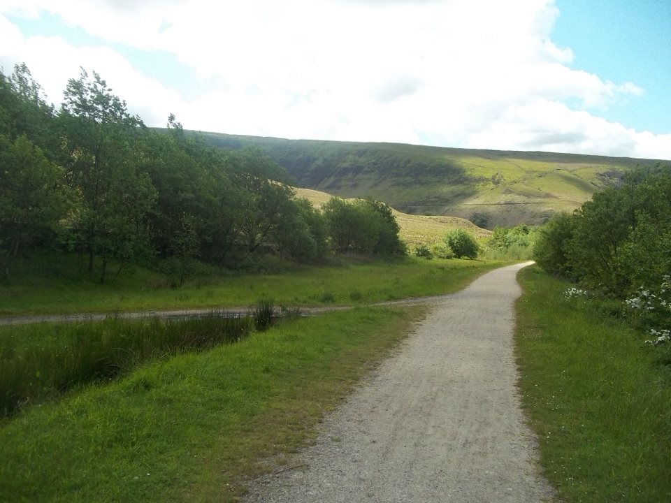
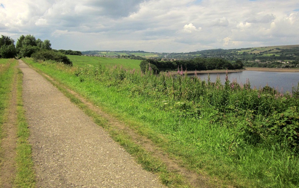
The wreckage sits on remote open moorland with no road access. Expect at least 2 miles (3.2 km), roughly an hour of walking each way from the nearest parking opportunities, and a round trip that can easily run to about 8 km (5 miles) and around three hours depending on your route, the ground and visibility. Designated parking with Pennine Way access is available at Crowden and Torside; do not park on the double yellow lines along the A57 Snake Pass. Any seasonal bus services along that road should not be relied on for a plan.

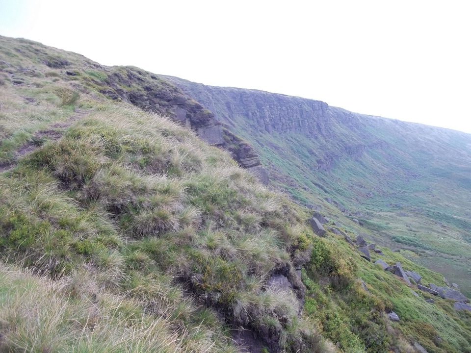
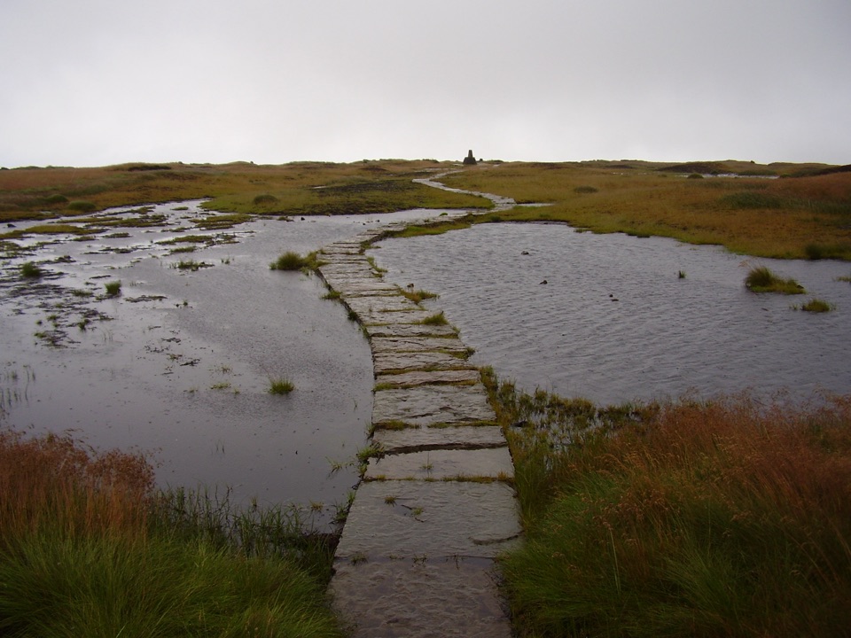
On the ground, signage and waymarking are limited, sections are unsurfaced, and after rain the peat is wet and boggy with deep water-eroded groughs to cross. Phone reception is poor to non-existent, so carry offline or paper maps and know how to use them. Rescue here takes far longer than it would in a valley.

5 active Peak District alerts

  • ClosureA54 Cat and Fiddle road closureThe A54 Macclesfield Main Road (Cat and Fiddle) is fully closed to all traffic from 27 July through 30 October 2026 during phase 1 improvement works.Official details
  • ClosureHooks Carr (Stanage Popular) car park closureHooks Carr (Stanage Popular) car park will be partially or fully closed from 6 October for four weeks.Official details
See all 5 alerts
A park ranger sits on a dash-mounted phone, talking, as Parkwolf’s Tour Guide plays “Army Cutworm Moths: A Grizzly Bear Buffet” on Grand Loop Road below Dunraven Pass in Yellowstone
Parkwolf Tour GuideThe highest, rockiest slopes around here are a summer buffet for grizzly bears.

Peak District Tour Guide

Your drive to Bleaklow B-29 Superfortress Crash Site, narrated.

Parkwolf is a GPS audio tour guide for Peak District National Park. As you drive, it chimes in with what’s ahead: hidden gems, upcoming stops, history, geology, and wildlife, right through your car’s speakers.

Recorded for this place

Bleaklow B-29 Crash Memorial
0:00 / 0:31
“Up ahead is the Snake Pass access for the Bleaklow B-29 crash memorial, reached by a long walk across open moor.”

Plays as you drive up to Bleaklow B-29 Superfortress Crash Site in the Parkwolf Peak District Tour Guide.

More stories near here in the app

  • Over Exposed Before Bleaklow
  • The Two Glossops
  • The Water Beneath Manchester's Taps
  • The White Tufts on the Moor
  • 298 audio storiesacross Peak District’s roads, triggered by GPS as you drive
  • Wildlife heatmapsfor Red Deer, Red Fox, Eurasian Otter, and 13 more
  • Works offlinemaps, 88 trails, 76 places, and audio download before you lose signal
  • CarPlay readysimple controls built for the drive
★★★★★
“Fantastic app with many points of information… It’s great to just turn on while you’re driving and it gives you an audio tour of the national Park. We love it!!!!”
JMJamesApp Store review
Download Parkwolf on the App StoreGet Parkwolf on Google Play

4.7 from 8,600+ ratings

Guide

More about Bleaklow B-29 Superfortress Crash Site

Why it is distinctiveThe scattered wreckage of a large military aircraft lies openly on the moor, reached only on…

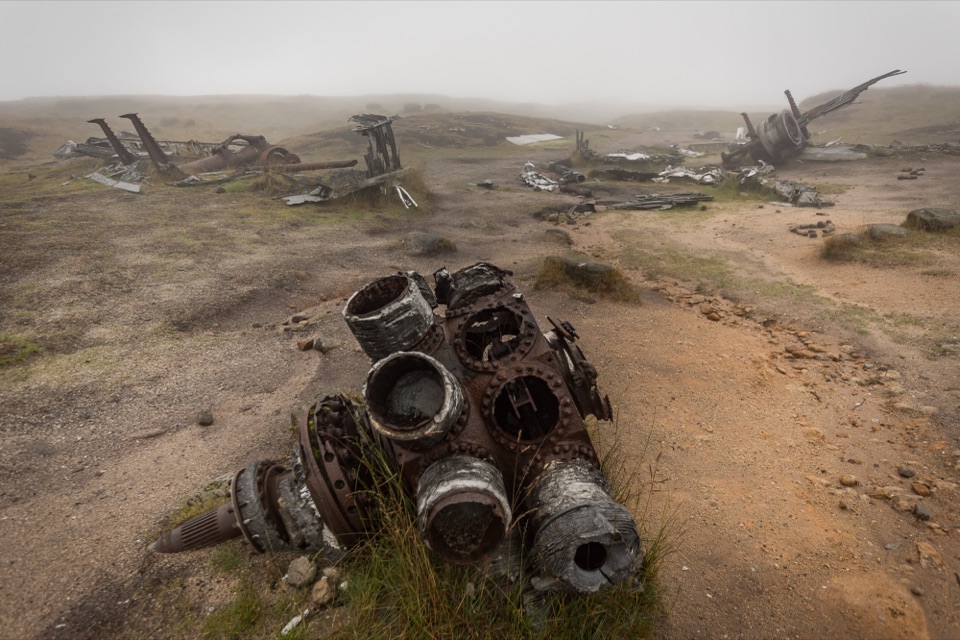
The scattered wreckage of a large military aircraft lies openly on the moor, reached only on foot. A Boeing RB-29A Superfortress known as "Over Exposed" came down here on 3 November 1948 during a routine flight between UK bases, and all 13 people on board died. Large parts of the aircraft were never removed, so the debris still lies where it fell, high on the peat plateau near Higher Shelf Stones, with a memorial at the site to those who were lost.

What you will seeEngines and turbine sections, undercarriage struts, structural spars, pulley wheels and torn…
  • Engines and turbine sections, undercarriage struts, structural spars, pulley wheels and torn light alloy panels spread across the hillside
  • Recognisable sections of the aircraft body, not just small fragments
  • A simple memorial with tributes, set in a bleak sweep of moor grass, peat and bare gritstone
  • Wide, empty horizons in clear weather, and almost nothing to see at all in low cloud
What to bringWaterproof boots with grip, plus windproof and waterproof layers
  • Waterproof boots with grip, plus windproof and waterproof layers
  • Paper map and compass, or offline mapping, and a power bank
  • Food and plenty of water, since there are no facilities at the site or along the route
Honest drawbacksThe approach is exposed, often boggy and poorly waymarked, and weather can turn both navigation…
  • The approach is exposed, often boggy and poorly waymarked, and weather can turn both navigation and footing into real work
  • Not suitable for young children, and there is no shelter, water or toilet anywhere on the walk
  • In mist you may find the wreckage only with careful navigation, and see little else
Please treat it as a memorialThis is a place of remembrance on environmentally sensitive ground.

This is a place of remembrance on environmentally sensitive ground. Do not move, displace or take anything, and do not add mementos, cairns or other structures. There are no bins on the plateau, so carry all litter out, and light no fires or barbecues. Dogs must be on a short lead from 1 March to 31 August across much of the open-access land, a lead is sensible year-round, and dog mess should go home with you.

Wildlife

Wildlife in Peak District

All Peak District wildlife maps

Sighting maps show where each species has been reported across Peak District. Wildlife moves, so no sighting is guaranteed.

Parkwolf’s Peak District ranking

Top sights in Peak District

All 76 places
  1. 1Chatsworth HouseSight
  2. 2Mam TorSight
  3. 3Dovedale Stepping StonesSight
  4. 4Ladybower ReservoirSight
  5. 5Stanage EdgeSight
  6. 6Kinder ScoutSight

Take Parkwolf to Peak District.

The audio tour guide for the drive, plus offline maps, trails, and wildlife heatmaps for when the signal drops.

4.7 from 8,600+ ratings

Download Parkwolf on the App StoreGet Parkwolf on Google Play