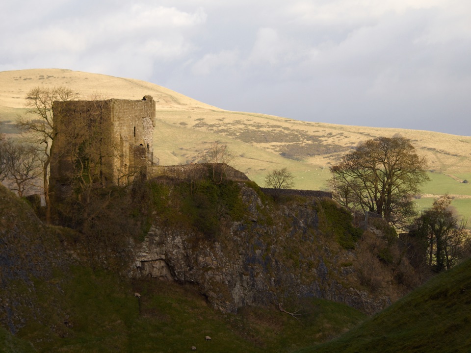
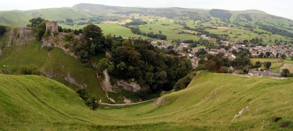
Mam Tor in Peak District National Park

#2 of 69 sights in Peak District

Sight · Peak District National Park

Mam Tor

Short steep climb to a hillfort summit above the Hope Valley

Photo: Wikimedia Commons
Type
Sight
Nearest trail
0.5 km
Audio stories
7 nearby
  • Parking
  • Scenic viewpoint

Hear the audio tour

Mam Tor and the Great Ridge

Overview

About Mam Tor

Why stop

  • Wide views over Hope Valley and Winnats Pass
  • Historic hillfort and distinctive landslip landscape

Heads up

  • Crowded at peak times
  • Steep, exposed path can be wet and windy
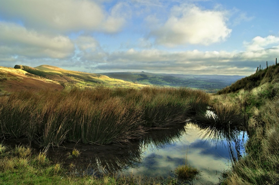
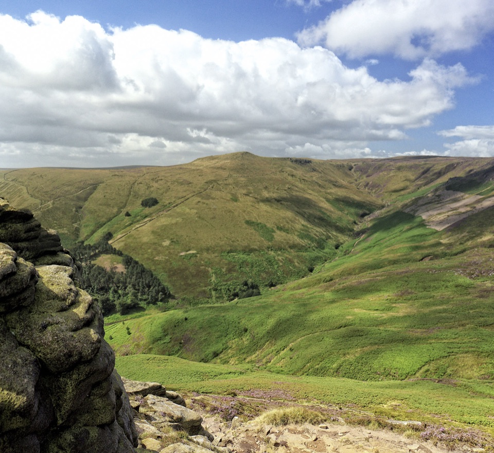
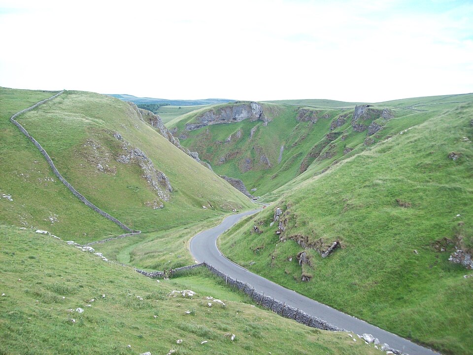
A 517 m summit that pays out far more view than the climb costs. From the trig point the ground falls away over the Hope Valley on one side and the deep cleft of Winnats Pass on the other, with the Great Ridge running away to the north. This is one of the clearest places to stand on the boundary between the gritstone moors of the Dark Peak and the paler limestone country of the White Peak, and on genuinely clear days the view stretches west toward Manchester.
Parkwolf’s verdictWhy stop here

Map

Where it is

Loading the Peak District map
Full map
SightMam Tor53.34926, -1.80964
Keep this map with you offline in the Parkwolf app

Plan your stop

Before you go

Best time to go

The summit is exposed and can be very windy, sometimes uncomfortably so, and the wind chill on top is often much sharper than in the valley. Bring layers and wind protection even in summer. Low cloud, mist or rain can hide the views completely, so it is worth checking conditions before committing to the drive.

Photographers come for the ridge lines: the sweep toward Lose Hill, the drop into Winnats Pass, and low sun raking across the valley at either end of the day. Weekends and peak holiday periods are busy, and arriving early is the most reliable way to reduce parking pressure.


5 active Peak District alerts

  • ClosureA54 Cat and Fiddle road closureThe A54 Macclesfield Main Road (Cat and Fiddle) is fully closed to all traffic from 27 July through 30 October 2026 during phase 1 improvement works.Official details
  • ClosureHooks Carr (Stanage Popular) car park closureHooks Carr (Stanage Popular) car park will be partially or fully closed from 6 October for four weeks.Official details
See all 5 alerts
A park ranger sits on a dash-mounted phone, talking, as Parkwolf’s Tour Guide plays “Army Cutworm Moths: A Grizzly Bear Buffet” on Grand Loop Road below Dunraven Pass in Yellowstone
Parkwolf Tour GuideThe highest, rockiest slopes around here are a summer buffet for grizzly bears.

Peak District Tour Guide

Your drive to Mam Tor, narrated.

Parkwolf is a GPS audio tour guide for Peak District National Park. As you drive, it chimes in with what’s ahead: hidden gems, upcoming stops, history, geology, and wildlife, right through your car’s speakers.

Recorded for this place

Mam Tor and the Great Ridge
0:00 / 0:27
“You're approaching Mam Tor, where the climb from Mam Nick car park is short but steep and pays off with views over Edale and the Hope Valley.”

Plays as you drive up to Mam Tor in the Parkwolf Peak District Tour Guide.

More stories near here in the app

  • Treak Cliff and Blue John Caverns
  • Winnats Pass and Speedwell Cavern
  • Edale and Kinder Scout
  • Peak Cavern and the Rope Makers' Village
  • 298 audio storiesacross Peak District’s roads, triggered by GPS as you drive
  • Wildlife heatmapsfor Red Deer, Red Fox, Eurasian Otter, and 13 more
  • Works offlinemaps, 88 trails, 76 places, and audio download before you lose signal
  • CarPlay readysimple controls built for the drive
★★★★★
“Fantastic app with many points of information… It’s great to just turn on while you’re driving and it gives you an audio tour of the national Park. We love it!!!!”
JMJamesApp Store review
Download Parkwolf on the App StoreGet Parkwolf on Google Play

4.7 from 8,600+ ratings

Guide

More about Mam Tor

The shivering mountainThe hill's east face is a huge ancient landslide, which is why it earned the name the Shivering…

The hill's east face is a huge ancient landslide, which is why it earned the name the Shivering Mountain. The slipped ground runs over 1,000 m from the backscarp to its toe, is up to 30 to 40 m thick, and the cliff-like backscarp behind it stands more than 70 m high. The underlying rocks are weak shales, mudstones, siltstones and sandstones, which slump and creep rather than stand firm, and the movement is more than 4,000 years old and still not finished. Ground movement in 1977 forced the old main road below to single-lane traffic, and it was permanently closed in 1979. The broken road is reached by a separate low-level route, not from the summit itself.

The walk upThe usual approach starts at Mam Nick car park, on a stone-surfaced footpath with steps and…
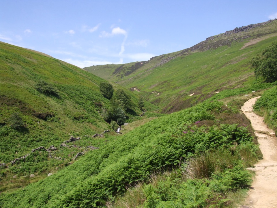
  • The usual approach starts at Mam Nick car park, on a stone-surfaced footpath with steps and steep sections up to the summit.
  • The official circular route from the car park is 4.8 km (3 miles), around 2 hours, graded moderate. Many visitors instead climb to the trig point and turn back, which is a much shorter outing.
  • From the summit the path continues north along the Great Ridge toward Lose Hill, roughly 3 km of open ridge walking. You can walk as much or as little of it as you like and return the way you came.
  • Well-behaved dogs on leads are welcome.
  • Terrain includes uneven surfaces, steep routes, steps and stiles, and the ground can be wet and slippery after rain.
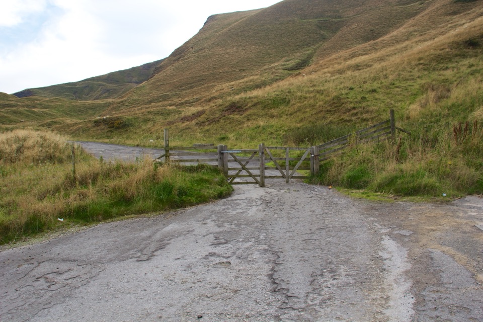
Honest drawbacksMam Nick car park is very small and parking is limited.
  • Mam Nick car park is very small and parking is limited. This is the most common frustration here, and at busy times you may need an alternative plan.
  • There are no toilet facilities at the estate visitor area.
  • The route is popular and can feel busy at peak periods, so this is not a place for solitude on a fine weekend.
  • The steps and steep climbs are manageable for many people but are not suitable for everyone; assess your own fitness and footing, especially in wet weather.
What to bringSturdy footwear with grip, warm layers and a windproof jacket, water and snacks, and an offline…

Sturdy footwear with grip, warm layers and a windproof jacket, water and snacks, and an offline map if you plan to continue along the ridge rather than returning to the car park.

Why stop hereThe summit is also a piece of deep history.

The summit is also a piece of deep history. It is a protected Scheduled Monument, and the top is ringed by the ditch and rampart of an Iron Age hillfort, still readable as a low bank and hollow underfoot as you walk the crown of the hill. Mam Tor is often translated as Mother Hill.

Wildlife

Wildlife in Peak District

All Peak District wildlife maps

Sighting maps show where each species has been reported across Peak District. Wildlife moves, so no sighting is guaranteed.

Keep exploring

Near Mam Tor

See it all on the map

Trails nearby

More stops nearby

Parkwolf’s Peak District ranking

Top sights in Peak District

All 76 places
  1. 1Chatsworth HouseSight
  2. 3Dovedale Stepping StonesSight
  3. 4Ladybower ReservoirSight
  4. 5Stanage EdgeSight
  5. 6Kinder ScoutSight
  6. 7CastletonSight

Take Parkwolf to Peak District.

The audio tour guide for the drive, plus offline maps, trails, and wildlife heatmaps for when the signal drops.

4.7 from 8,600+ ratings

Download Parkwolf on the App StoreGet Parkwolf on Google Play