Parking
Free TPT parking is marked at 4 Platt Street, Padfield, about half a mile south of the mapped Hadfield start. The walk finishes in Penistone; plan your return before setting out.
Peak District National Park, EN
Four reservoirs, a railway ridge and a full day over the Pennines.
Overview
Map & elevation
Plan your hike

The highest, rockiest slopes around here are a summer buffet for grizzly bears.
Peak District Tour Guide
Parkwolf is a GPS audio tour guide for Peak District National Park. As you drive, it chimes in with what’s ahead: hidden gems, upcoming stops, history, geology, and wildlife, right through your car’s speakers.
Recorded for this area
Pictures Made for a Well“In some Peak District villages, a well can turn into a flower mosaic. It's called well dressing.”
Plays on the road 0.4 km from the trailhead in the Parkwolf Peak District Tour Guide.
More stories near here in the app
“Fantastic app with many points of information… It’s great to just turn on while you’re driving and it gives you an audio tour of the national Park. We love it!!!!”


Trail guide
The Trans Pennine Trail section from Hadfield to Penistone is a 16 mile, one way walk through Longdendale and over Woodhead Pass. Allow about six hours at an unhurried pace. It is a full crossing of the Pennines, not a loop or a walk around one reservoir, so plan how you will get back from Penistone before setting out.
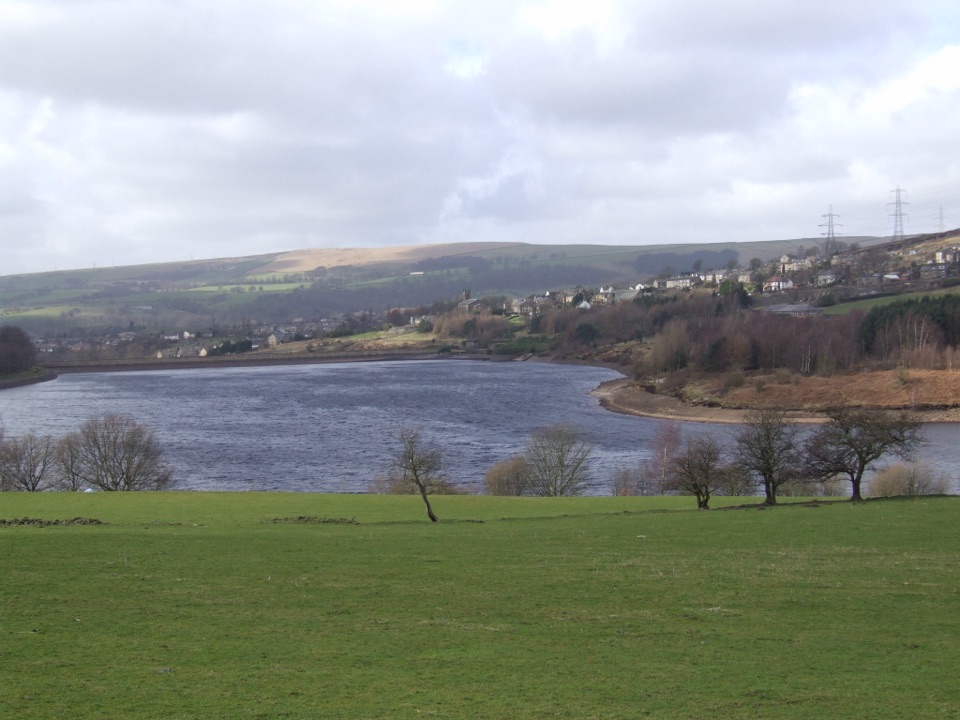
The western miles climb gently through Longdendale beside Bottoms, Valehouse, Rhodeswood and Torside reservoirs. Much of this approach follows the former Woodhead railway on a path without road traffic that is mostly surfaced; the views open across the water and the hills as you leave the town. At Torside, toilets and a refreshment point at peak times are useful pauses. For the best valley photo, keep Bottoms Reservoir in the foreground and the hillside settlement across it in frame.
Past Torside, the walking route leaves the easy rail bed and climbs steeply on rough, stepped ground toward Woodhead Pass. Three old tunnel mouths at the former station are visible, but they are sealed: the TPT crosses over the pass, not through the tunnels. The exposed section and busy A628 crossings are the main drawbacks. After the high point, the line continues east to Penistone, with more open countryside and road crossings before the town finish. This is shared trail, so expect cyclists and horse riders.
The mapped TPT start is in Hadfield; free parking is marked at 4 Platt Street in Padfield, about half a mile south of that point. The finish is Penistone, so this is not a car loop. Expect around six hours on foot, with most of the effort concentrated in the climb to Woodhead. If you want the reservoir and railway scenery without crossing the pass, the separate 6.5 mile Longdendale Trail is the shorter option, though it is one way, though it still needs a return plan. Dogs are allowed; keep them close and in sight, using a short lead near livestock and horses.
Wildlife
 248 sightingsRed DeerMost seen around 7 AMSighting map
 36 sightingsRed FoxMost seen around 6 AMSighting map
 15 sightingsEurasian OtterMost seen around 7 PMSighting map
 51 sightingsPeregrine FalconMost seen around 6 PMSighting map
 47 sightingsEuropean Fallow DeerMost seen around 6 AMSighting map
 54 sightingsWestern Roe DeerMost seen around 7 PMSighting map
Sighting maps show where each species has been reported across Peak District. Wildlife moves, so no sighting is guaranteed.
Keep exploring
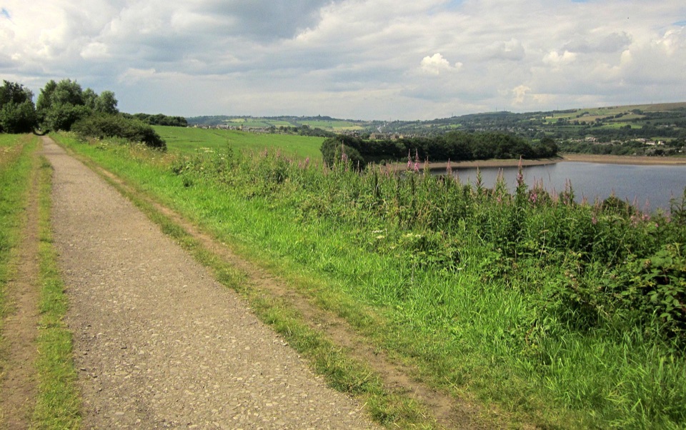 EasyLongdendale Trail10.5 km · 2.8 hr · 0.8 km awayA gentle old railway path threads between Longdendale’s reservoirs.
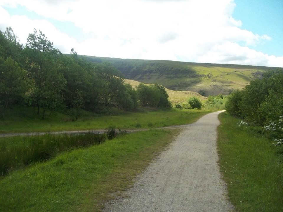 EasyTorside Miles without Stiles3.4 km · 1 hr · 4.7 km awayA short, accessible walk to a ramped platform and wildlife ponds
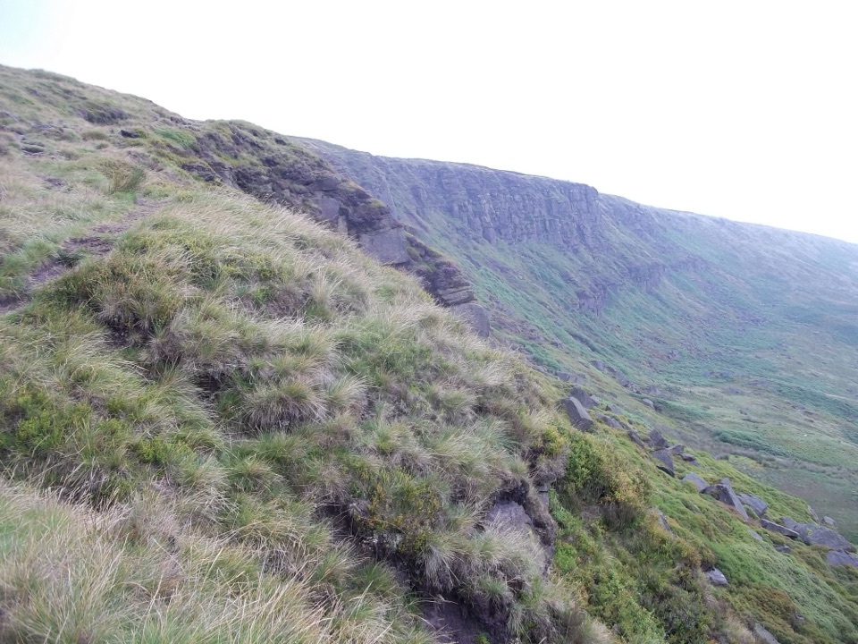 ChallengingCrowden Horseshoe14.5 km · 5 hr · 5.4 km awayA gritstone edge on the way to a quiet, boggy moorland summit
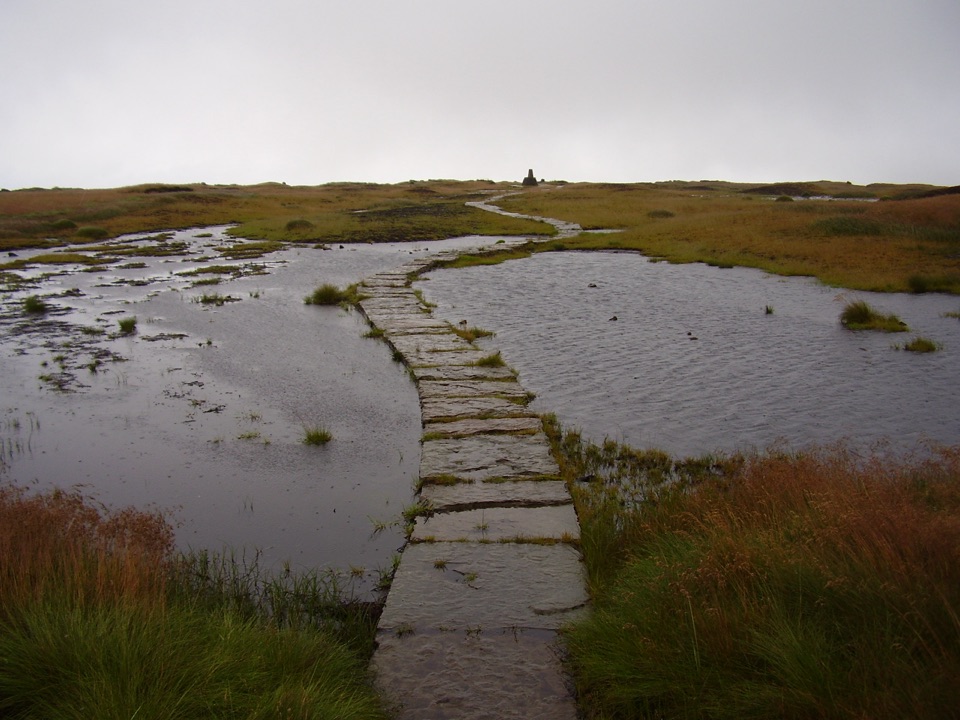 ModerateBlack Hill Loop from Crowden16.1 km · 6 hr · 5.4 km awayA boggy, big-sky circuit with gritstone drama on the way home.
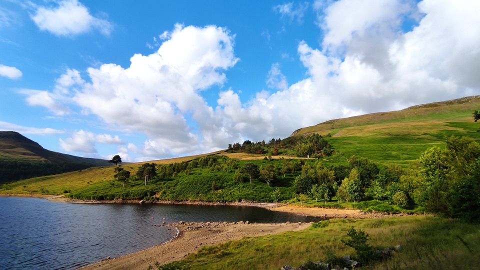 EasyDovestone Reservoir Circular4.4 km · 1.3 hr · 6.6 km awayAn easy reservoir loop with moorland views and a satisfying dam crossing.
 ChallengingHigher Shelf Stones and Bleaklow B-29 Crash Site Circular9.3 km · 3.5 hr · 7.6 km awayHigh moor, a poignant wreck site, and a route that demands attention.
 EasySett Valley Trail4 km · 1.3 hr · 10 km awayAn easy former-railway path linking Hayfield and New Mills.
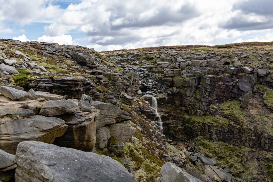 ChallengingKinder Scout Mass Trespass Walk13.7 km · 5.5 hr · 10.3 km awayA historic climb to the plateau, waterfall and big Dark Peak views.
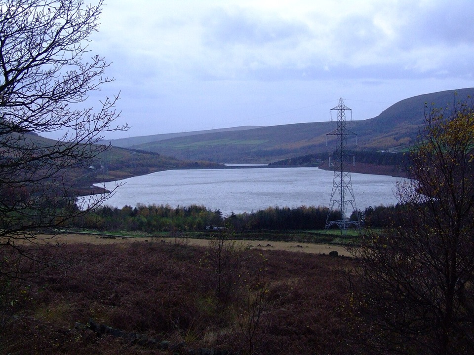 Sight · 4.6 km awayTorside ReservoirMoorland reservoir views from a flat, accessible old railway trail
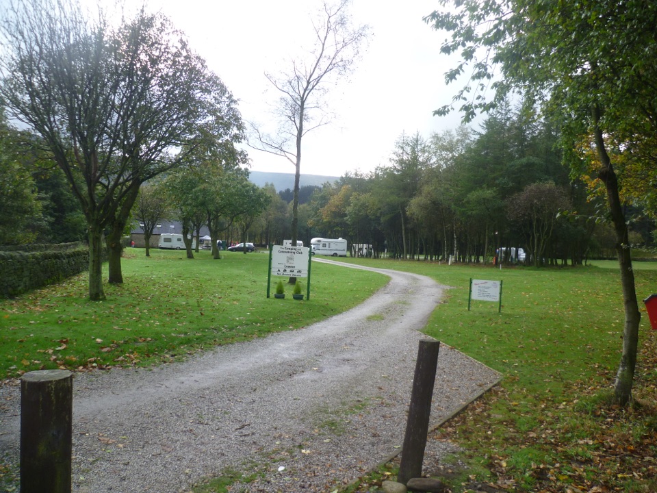 Campground · 5.3 km awayCrowden Camping and Caravanning Club SiteQuiet pitches beneath northern hills, close to the Pennine Way
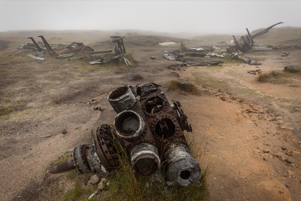 Sight · 7 km awayBleaklow B-29 Superfortress Crash SiteScattered bomber wreckage and a memorial deep on open moorland
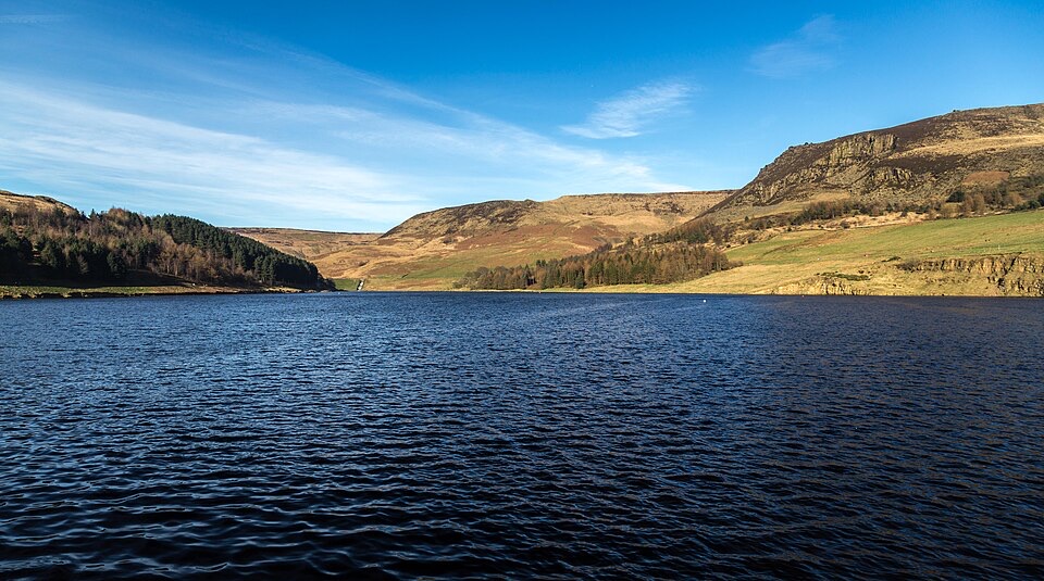 Sight · 7 km awayDove Stone ReservoirEasy-going lakeside loop with the southern Pennines rising all around
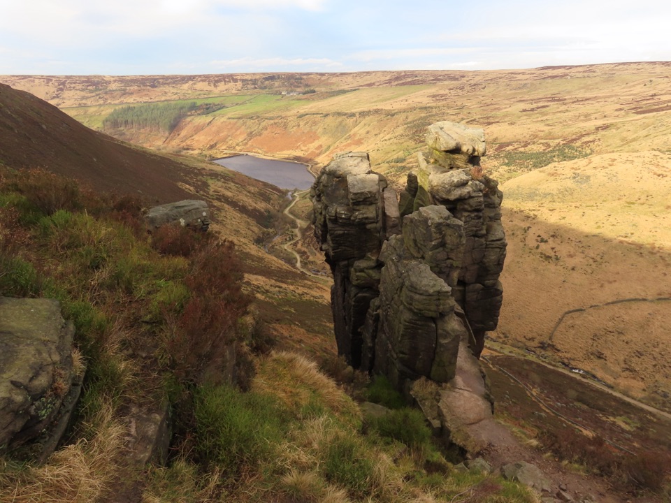 Sight · 8 km awayThe TrinnacleThree gritstone pillars perched high above the Dove Stone reservoirs
 Sight · 11.2 km awayKinder ScoutWindswept 636 m gritstone plateau with tors, peat and long views
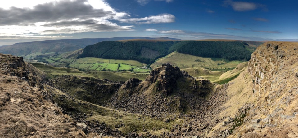 Sight · 12.9 km awayAlport CastlesHuge gritstone landslip and lonely moorland views above Alport Dale
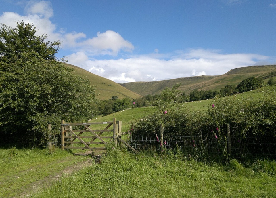 Campground · 13.9 km awayUpper Booth Farm CampsiteQuiet car-free camping fields below Kinder on the Pennine Way
Parkwolf’s Peak District ranking
 The Roaches and Lud’s Church Circular from Hen CloudModerate · 12.2 km
 Mam Tor Circular WalkModerate · 4.8 km
 Castleton, Mam Tor & the Great Ridge WalkModerate · 10.5 km
 Stanage Edge from HathersageModerate · 10.6 km
 Kinder Scout Circular via Jacob’s LadderChallenging · 12.1 km
 Padley Gorge and Burbage Brook WalkEasy · 3.7 km
The audio tour guide for the drive, plus offline maps, trails, and wildlife heatmaps for when the signal drops.