Ladybower Reservoir in Peak District National Park

#4 of 69 sights in Peak District

Sight · Peak District National Park

Ladybower Reservoir

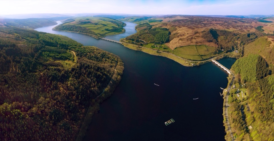
Y-shaped reservoir with waterside walks, dam views and easy short routes

Photo: Public Domain
Type
Sight
Nearest trail
0.2 km
Audio stories
4 nearby
  • Parking
  • Picnic tables
  • Restrooms
  • Food

Hear the audio tour

Ladybower Reservoir and Heatherdene

Overview

About Ladybower Reservoir

Why stop

  • Big reservoir scenery with flexible walk lengths
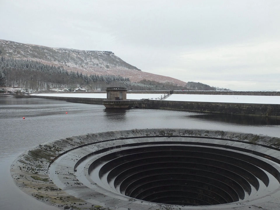
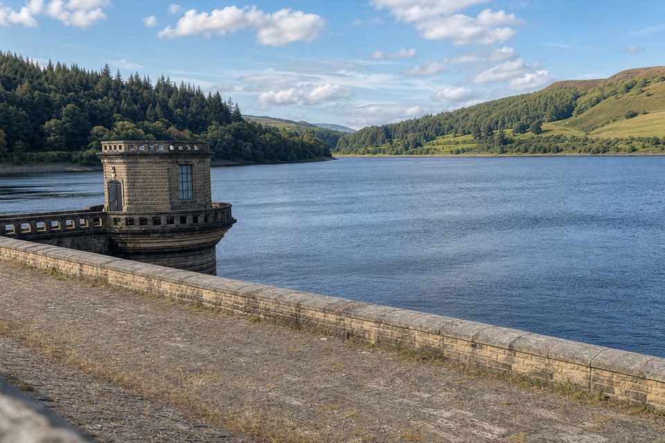
  • Distinctive dam and plugholes with strong photo opportunities

Heads up

  • Busy weekends around the main access points
  • Distances add up quickly on longer loops

Map

Where it is

Loading the Peak District map
Full map
SightLadybower Reservoir53.36908, -1.70036
Keep this map with you offline in the Parkwolf app

Plan your stop

Before you go

Best time to go

  • Weekends get busy, and parking at the popular access points is paid and limited, so arriving early gives you more choice.
  • Route length and weather vary widely, so check the forecast, carry layers and wear footwear suited to forest tracks.
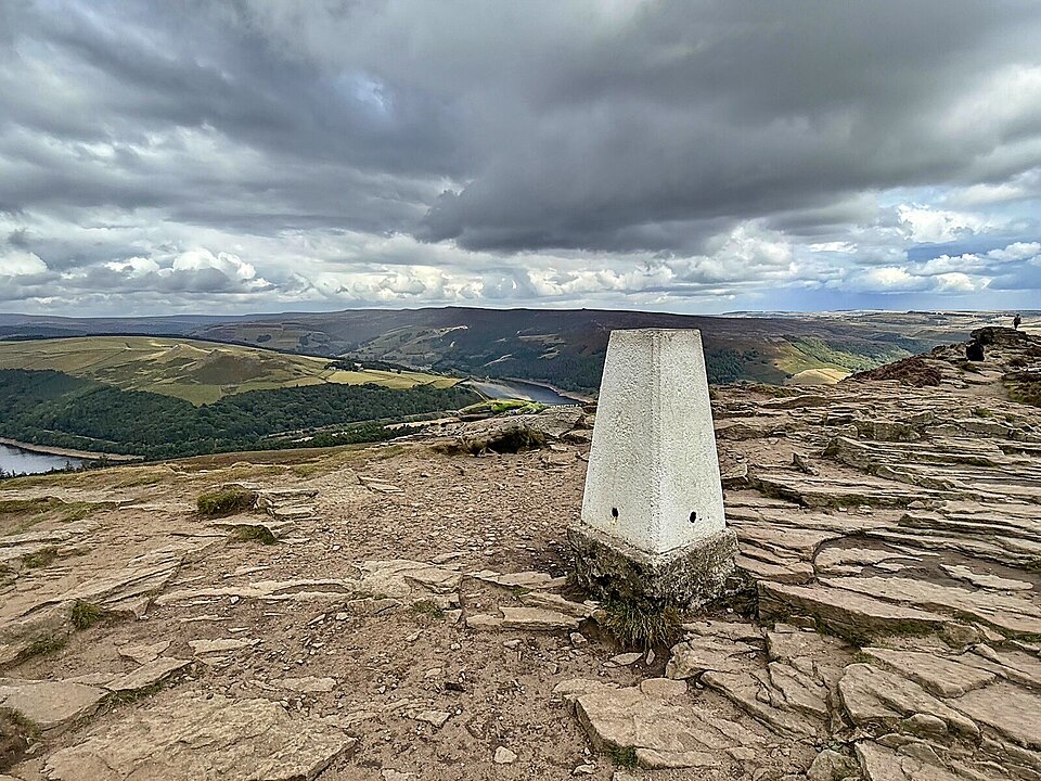
  • Photography is a common reason people come back, with the dam, shoreline and higher paths offering the most interesting angles; light and water levels will shape what you get on the day.


Getting there and parking

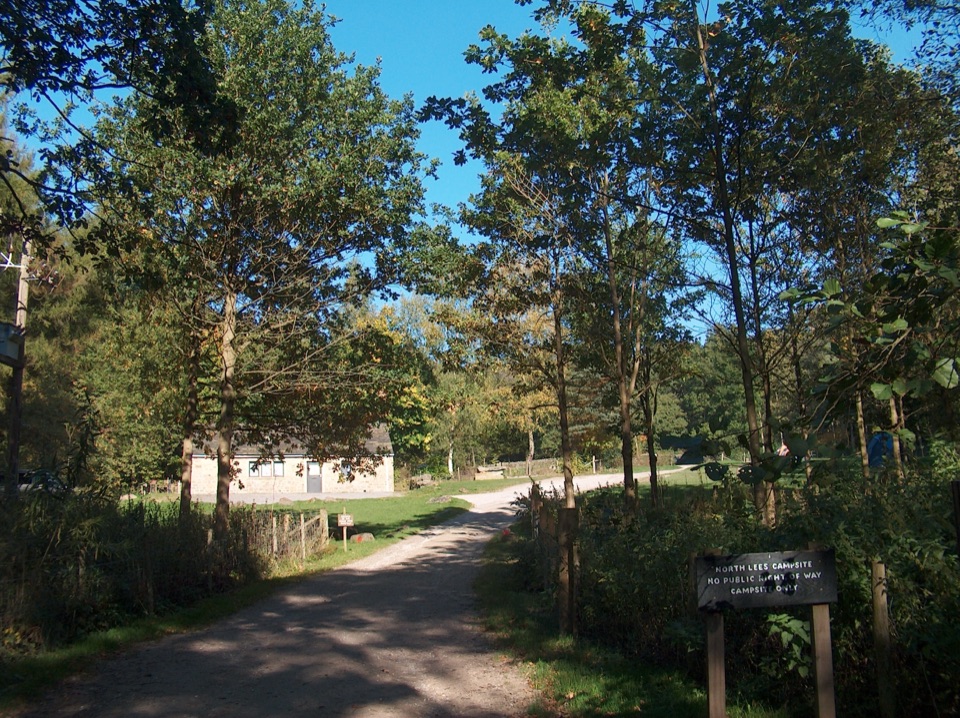
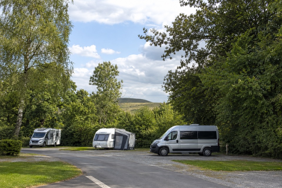
  • Heatherdene Car Park, off the A6013, is a straightforward starting point on the eastern side.
  • From there it is roughly 400 m to dam views, about 1 km along the dam, with a 1.5 km extension if you want more.
  • The first section is tarmac path and pavement, then a forest track leads to benches and a viewpoint.
  • Fairholmes (Upper Derwent) works well as a hub for reservoir and linked-valley walks.

5 active Peak District alerts

  • ClosureA54 Cat and Fiddle road closureThe A54 Macclesfield Main Road (Cat and Fiddle) is fully closed to all traffic from 27 July through 30 October 2026 during phase 1 improvement works.Official details
  • ClosureHooks Carr (Stanage Popular) car park closureHooks Carr (Stanage Popular) car park will be partially or fully closed from 6 October for four weeks.Official details
See all 5 alerts
A park ranger sits on a dash-mounted phone, talking, as Parkwolf’s Tour Guide plays “Army Cutworm Moths: A Grizzly Bear Buffet” on Grand Loop Road below Dunraven Pass in Yellowstone
Parkwolf Tour GuideThe highest, rockiest slopes around here are a summer buffet for grizzly bears.

Peak District Tour Guide

Your drive to Ladybower Reservoir, narrated.

Parkwolf is a GPS audio tour guide for Peak District National Park. As you drive, it chimes in with what’s ahead: hidden gems, upcoming stops, history, geology, and wildlife, right through your car’s speakers.

Recorded for this place

Ladybower Reservoir and Heatherdene
0:00 / 0:34
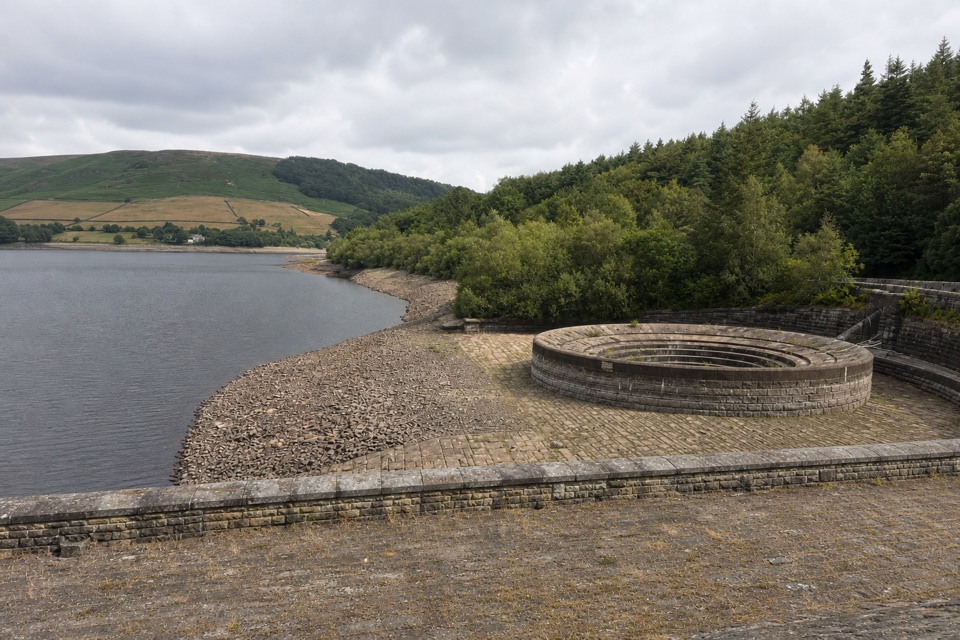
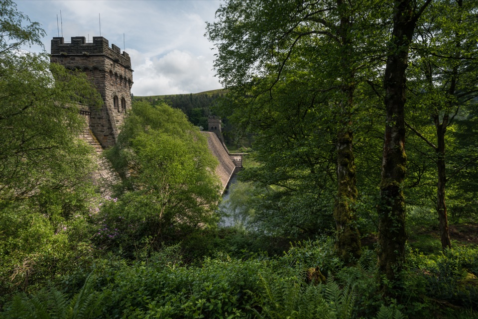
“You're nearing Ladybower Reservoir at Heatherdene, a good place for a short walk to the dam. Two enormous circular overflow shafts beside it look like plugholes; they only spill when the water is high.”

Plays as you drive up to Ladybower Reservoir in the Parkwolf Peak District Tour Guide.

More stories near here in the app

  • Win Hill from Yorkshire Bridge
  • Bamford Edge Above Ladybower
  • The Community beside Navio
  • The Spire Above Ladybower
  • 298 audio storiesacross Peak District’s roads, triggered by GPS as you drive
  • Wildlife heatmapsfor Red Deer, Red Fox, Eurasian Otter, and 13 more
  • Works offlinemaps, 88 trails, 76 places, and audio download before you lose signal
  • CarPlay readysimple controls built for the drive
★★★★★
“Fantastic app with many points of information… It’s great to just turn on while you’re driving and it gives you an audio tour of the national Park. We love it!!!!”
JMJamesApp Store review
Download Parkwolf on the App StoreGet Parkwolf on Google Play

4.7 from 8,600+ ratings

Guide

More about Ladybower Reservoir

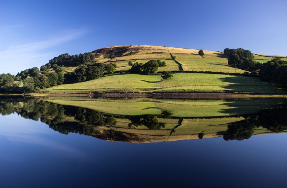
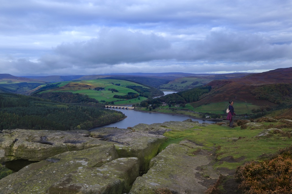
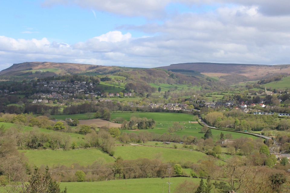
What it isA large Y-shaped reservoir in the Upper Derwent Valley, ringed by water, woodland and moorland.

A large Y-shaped reservoir in the Upper Derwent Valley, ringed by water, woodland and moorland. Together with the linked Howden and Derwent reservoirs it forms the largest expanse of water in the Peak District, covering around 210 hectares.

Facilities at FairholmesPaid car parking, toilets, a refreshment kiosk and bike hire.
  • Paid car parking, toilets, a refreshment kiosk and bike hire.
  • Facility opening times vary seasonally and depend on staffing, so plan for the possibility that something is shut when you arrive.
  • Face-to-face visitor information is no longer available, so download or print your route before setting off.
Walking and cyclingCircular walking and cycling routes make it easy to build a short stroll or a longer half-day…

Circular walking and cycling routes make it easy to build a short stroll or a longer half-day outing, and there are views across the water toward Bamford Edge. Waterside sections are quiet and level in places, with steadier climbs if you head away from the shore.

History under the waterBuilt between 1935 and 1943 and opened in 1945, the reservoir flooded the villages of Derwent…

Built between 1935 and 1943 and opened in 1945, the reservoir flooded the villages of Derwent and Ashopton. Residents were rehoused at the Yorkshire Bridge estate, downstream of Ladybower Dam.

The plugholesTwo giant plugholes sit beside the dam and drain excess water to protect the structure.

Two giant plugholes sit beside the dam and drain excess water to protect the structure. They are a distinctive sight, though water levels change and they will not always be spilling when you visit.

Safety and rulesAn official warning sign at the dam states no swimming or paddling.

An official warning sign at the dam states no swimming or paddling. Treat the water as off limits and keep to paths and viewpoints.

Wildlife

Wildlife in Peak District

All Peak District wildlife maps

Sighting maps show where each species has been reported across Peak District. Wildlife moves, so no sighting is guaranteed.

Keep exploring

Near Ladybower Reservoir

See it all on the map

Trails nearby

More stops nearby

Parkwolf’s Peak District ranking

Top sights in Peak District

All 76 places
  1. 1Chatsworth HouseSight
  2. 2Mam TorSight
  3. 3Dovedale Stepping StonesSight
  4. 5Stanage EdgeSight
  5. 6Kinder ScoutSight
  6. 7CastletonSight

Take Parkwolf to Peak District.

The audio tour guide for the drive, plus offline maps, trails, and wildlife heatmaps for when the signal drops.

4.7 from 8,600+ ratings

Download Parkwolf on the App StoreGet Parkwolf on Google Play