Kinder Scout in Peak District National Park

#6 of 69 sights in Peak District

Sight · Peak District National Park

Kinder Scout

Windswept 636 m gritstone plateau with tors, peat and long views

Photo: Wikimedia Commons
Type
Sight
Nearest trail
3.7 km

Hear the audio tour

Edale and Kinder Scout

Overview

About Kinder Scout

Why stop

  • Weathered gritstone tors and broad moorland views
  • Deep walking and access history

Heads up

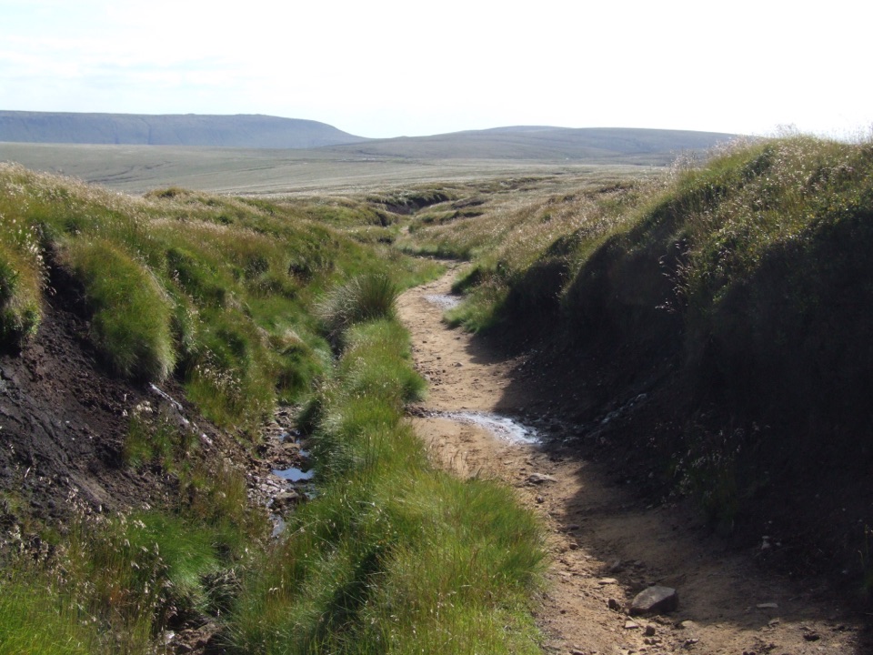
  • Steep, rocky and boggy approaches
  • Poor weather can make navigation difficult
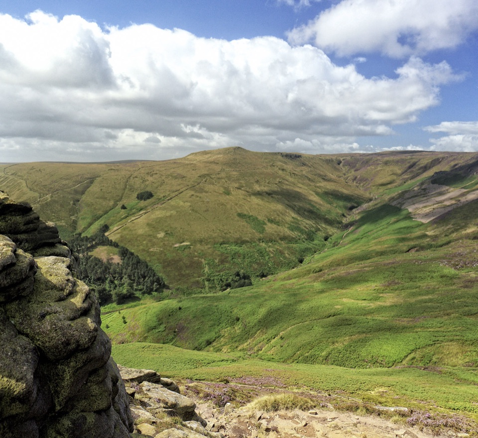
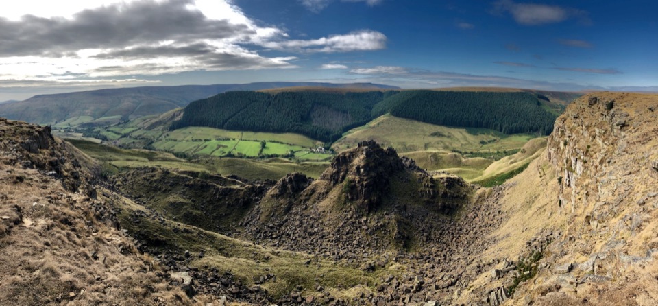
This is the highest ground in the national park at 636 m (2,087 ft), and the summit is a broad moorland plateau rather than a single pointed top. The reward is space: dark weathered gritstone slabs and tors standing above open moor, with hills fading into the distance on a clear day. It also carries real history. On 24 April 1932, hundreds of walkers led by 20-year-old Benny Rothman walked onto the plateau in the Mass Trespass; the arrests that followed fed the right-to-roam campaign and the later creation of national parks.
Parkwolf’s verdictWhy go

Map

Where it is

Loading the Peak District map
Full map
SightKinder Scout53.38482, -1.87390
Keep this map with you offline in the Parkwolf app

Plan your stop

Before you go

Best time to go

Late spring to early autumn gives longer daylight, which helps on these long walks, though the peat holds water and boggy patches persist after wet spells. Late summer brings heather colour on the moorland paths. Early morning and the last hours before sunset give the best light on the gritstone and the softest views. Winter can be spectacular, with frozen ground and ice at the Downfall, but it demands short daylight planning, navigation confidence and cold-weather kit. Starting early is sensible on bright weekends, when roadside and village access parking fills up.


5 active Peak District alerts

  • ClosureA54 Cat and Fiddle road closureThe A54 Macclesfield Main Road (Cat and Fiddle) is fully closed to all traffic from 27 July through 30 October 2026 during phase 1 improvement works.Official details
  • ClosureHooks Carr (Stanage Popular) car park closureHooks Carr (Stanage Popular) car park will be partially or fully closed from 6 October for four weeks.Official details
See all 5 alerts
A park ranger sits on a dash-mounted phone, talking, as Parkwolf’s Tour Guide plays “Army Cutworm Moths: A Grizzly Bear Buffet” on Grand Loop Road below Dunraven Pass in Yellowstone
Parkwolf Tour GuideThe highest, rockiest slopes around here are a summer buffet for grizzly bears.

Peak District Tour Guide

Your drive to Kinder Scout, narrated.

Parkwolf is a GPS audio tour guide for Peak District National Park. As you drive, it chimes in with what’s ahead: hidden gems, upcoming stops, history, geology, and wildlife, right through your car’s speakers.

Recorded for this place

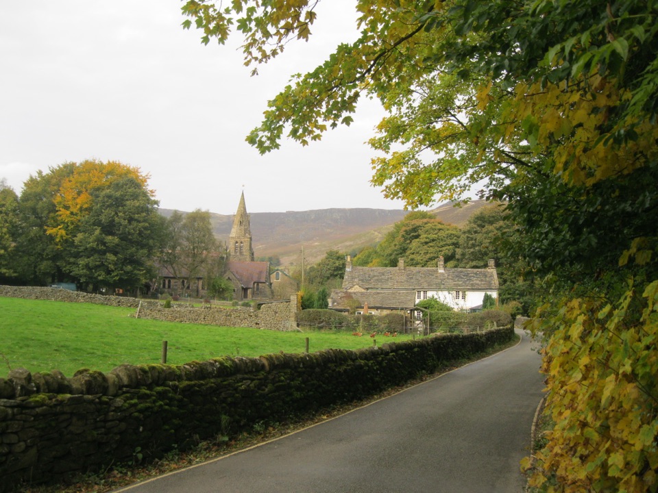
Edale and Kinder Scout
0:00 / 0:37
“Edale is coming up, the small village where the Pennine Way begins beneath Kinder Scout.”

Plays as you drive up to Kinder Scout in the Parkwolf Peak District Tour Guide.

More stories near here in the app

  • Kinder Scout Mass Trespass Walk
  • Why Moorland Streams Look Like Tea
  • The Road Worn Into Hayfield
  • Sett Valley Trail from Hayfield
  • 298 audio storiesacross Peak District’s roads, triggered by GPS as you drive
  • Wildlife heatmapsfor Red Deer, Red Fox, Eurasian Otter, and 13 more
  • Works offlinemaps, 88 trails, 76 places, and audio download before you lose signal
  • CarPlay readysimple controls built for the drive
★★★★★
“Fantastic app with many points of information… It’s great to just turn on while you’re driving and it gives you an audio tour of the national Park. We love it!!!!”
JMJamesApp Store review
Download Parkwolf on the App StoreGet Parkwolf on Google Play

4.7 from 8,600+ ratings

Guide

More about Kinder Scout

What makes it distinctiveMillstone Grit scenery: sandstones and mudstones laid down in the Carboniferous around 320…
  • Millstone Grit scenery: sandstones and mudstones laid down in the Carboniferous around 320 million years ago, now sculpted by weathering into strange, irregular shapes.
  • Named rock features worth aiming for: the Woolpacks, the Pagoda, Pym Chair and Noe Stool, all rewarding places to wander around, look closely and take photographs.
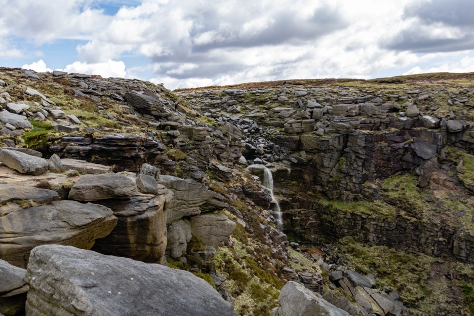
  • Kinder Downfall, the plateau's waterfall edge, which can freeze in hard winter spells.
  • Deep peat and living bog, plus Mermaid's Pool and gentle cloughs cutting off the edges.
  • Long-running peat restoration using gully blocking, sphagnum and re-vegetation, which shapes how much of the ground looks and behaves today.
Wildlife worth watching forNothing is guaranteed on open moorland, but the habitat suits ground-nesting curlew and golden…

Nothing is guaranteed on open moorland, but the habitat suits ground-nesting curlew and golden plover, with red grouse, merlin and short-eared owl among the possible sightings. The older clough woodland on the approaches can hold woodpeckers, ring ouzels and willow warblers. Bring binoculars and low expectations.

Routes and safetyWalks start from surrounding villages, most commonly Edale and Hayfield.

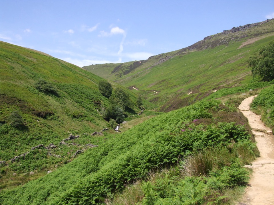
Walks start from surrounding villages, most commonly Edale and Hayfield. A popular option is the roughly 12 km circular from Edale, normally 4.5 to 5.5 hours, using the Pennine Way through Upper Booth and climbing Jacob's Ladder, an old packhorse route that carried lead, coal, salt and wool until the railway arrived in 1894; a Grade II gritstone packhorse bridge over the River Noe sits at its foot.

Full circuits are challenging, with steep, rocky ascents and descents and a plateau that can be boggy underfoot. Difficulty varies a lot by approach, so read your chosen route rather than assuming they are all alike. Take a map and compass and know how to use them, since the featureless plateau is genuinely hard to navigate in cloud or driving rain. Wear proper walking boots and carry windproof and waterproof layers plus your own food and water. On the Edale circular route described above, keep dogs on leads.

Honest drawbacksThe walks are long and exposed, so plan to carry your own food, water and warm layers, and take…

The walks are long and exposed, so plan to carry your own food, water and warm layers, and take rubbish home with you. The summit area is flat and repetitive, so people expecting a clear peak sometimes find it anticlimactic, and in low cloud you may see very little for hours of hard walking. Wet peat can leave you shin-deep in mud, and the open edges can be windy.

Wildlife

Wildlife in Peak District

All Peak District wildlife maps

Sighting maps show where each species has been reported across Peak District. Wildlife moves, so no sighting is guaranteed.

Keep exploring

Near Kinder Scout

See it all on the map

Trails nearby

More stops nearby

Parkwolf’s Peak District ranking

Top sights in Peak District

All 76 places
  1. 1Chatsworth HouseSight
  2. 2Mam TorSight
  3. 3Dovedale Stepping StonesSight
  4. 4Ladybower ReservoirSight
  5. 5Stanage EdgeSight
  6. 7CastletonSight

Take Parkwolf to Peak District.

The audio tour guide for the drive, plus offline maps, trails, and wildlife heatmaps for when the signal drops.

4.7 from 8,600+ ratings

Download Parkwolf on the App StoreGet Parkwolf on Google Play