Dove Stone Reservoir in Peak District National Park

Sight · Peak District National Park

Dove Stone Reservoir

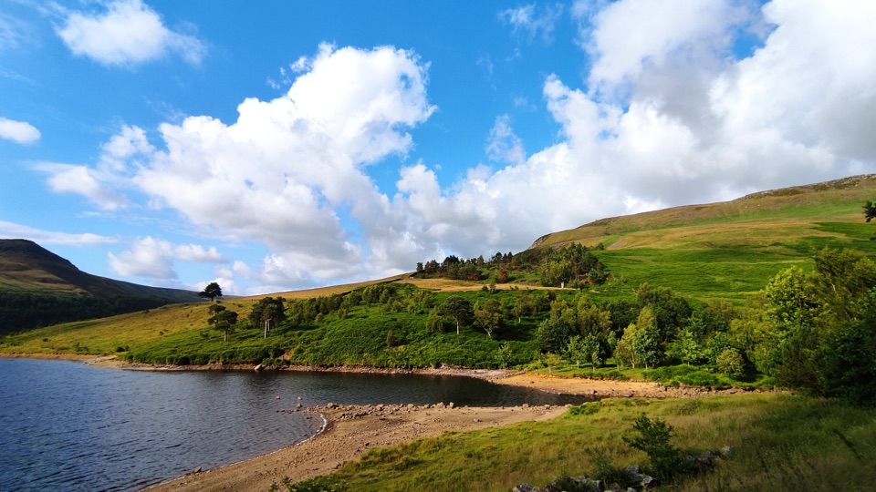
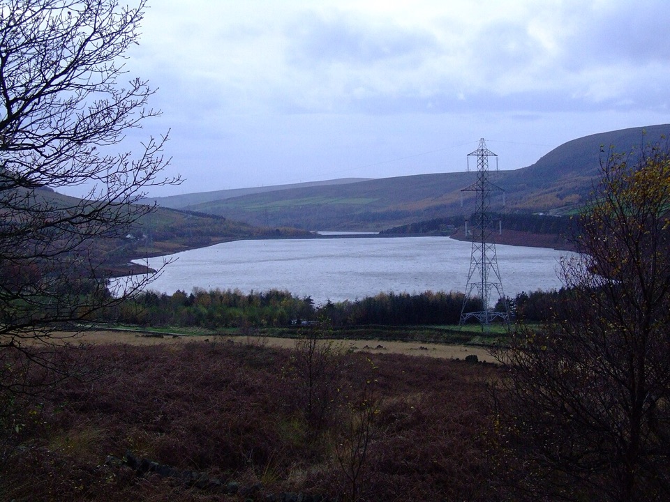
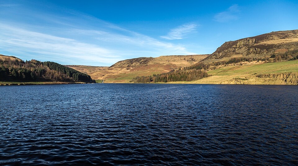
Easy-going lakeside loop with the southern Pennines rising all around

Photo: Wikimedia Commons
Type
Sight
Nearest trail
0.6 km
Audio stories
2 nearby
  • Parking
  • Restrooms
  • Picnic tables
  • Scenic viewpoint
  • #29 of 69 sights

Hear the audio tour

The Moor That Grew Back

Overview

About Dove Stone Reservoir

Why stop

  • Easy waterside loop with broad moorland views
  • Good starting point for longer hill walks

Heads up

  • Busy on sunny weekends
  • Wind and rougher ground on upper routes

Map

Where it is

Loading the Peak District map
Full map
SightDove Stone Reservoir53.53180, -1.97476
Keep this map with you offline in the Parkwolf app

Plan your stop

Before you go

Best time to go

Go early morning or on a weekday. The car park fills quickly at weekends and in good weather, and an early start buys you both a space and a calmer lap of the water. Low morning or evening light with still air gives the best reflections and the sharpest views along the valley, and clear days make the difference for the wider Pennine panorama. Weather on the moor changes quickly, so a bright start is not a promise.


5 active Peak District alerts

  • ClosureA54 Cat and Fiddle road closureThe A54 Macclesfield Main Road (Cat and Fiddle) is fully closed to all traffic from 27 July through 30 October 2026 during phase 1 improvement works.Official details
  • ClosureHooks Carr (Stanage Popular) car park closureHooks Carr (Stanage Popular) car park will be partially or fully closed from 6 October for four weeks.Official details
See all 5 alerts
A park ranger sits on a dash-mounted phone, talking, as Parkwolf’s Tour Guide plays “Army Cutworm Moths: A Grizzly Bear Buffet” on Grand Loop Road below Dunraven Pass in Yellowstone
Parkwolf Tour GuideThe highest, rockiest slopes around here are a summer buffet for grizzly bears.

Peak District Tour Guide

Your drive to Dove Stone Reservoir, narrated.

Parkwolf is a GPS audio tour guide for Peak District National Park. As you drive, it chimes in with what’s ahead: hidden gems, upcoming stops, history, geology, and wildlife, right through your car’s speakers.

Recorded for this area

The Moor That Grew Back
0:00 / 0:32
“The dark ground around Holme Moss is peat, built slowly from plants that couldn't fully decay in waterlogged soil.”

Plays on the road 0.4 km from Dove Stone Reservoir in the Parkwolf Peak District Tour Guide.

More stories near here in the app

  • An Isle of Skye on the Moor
  • Pictures Made for a Well
  • Listen for the Curlew
  • Torside Reservoir and Longdendale Trail
  • 298 audio storiesacross Peak District’s roads, triggered by GPS as you drive
  • Wildlife heatmapsfor Red Deer, Red Fox, Eurasian Otter, and 13 more
  • Works offlinemaps, 88 trails, 76 places, and audio download before you lose signal
  • CarPlay readysimple controls built for the drive
★★★★★
“Fantastic app with many points of information… It’s great to just turn on while you’re driving and it gives you an audio tour of the national Park. We love it!!!!”
JMJamesApp Store review
Download Parkwolf on the App StoreGet Parkwolf on Google Play

4.7 from 8,600+ ratings

Guide

More about Dove Stone Reservoir

What makes this one differentDove Stone is the big, accessible one at the bottom of the valley, and it works as the gateway…

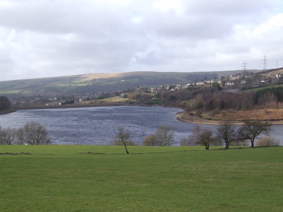
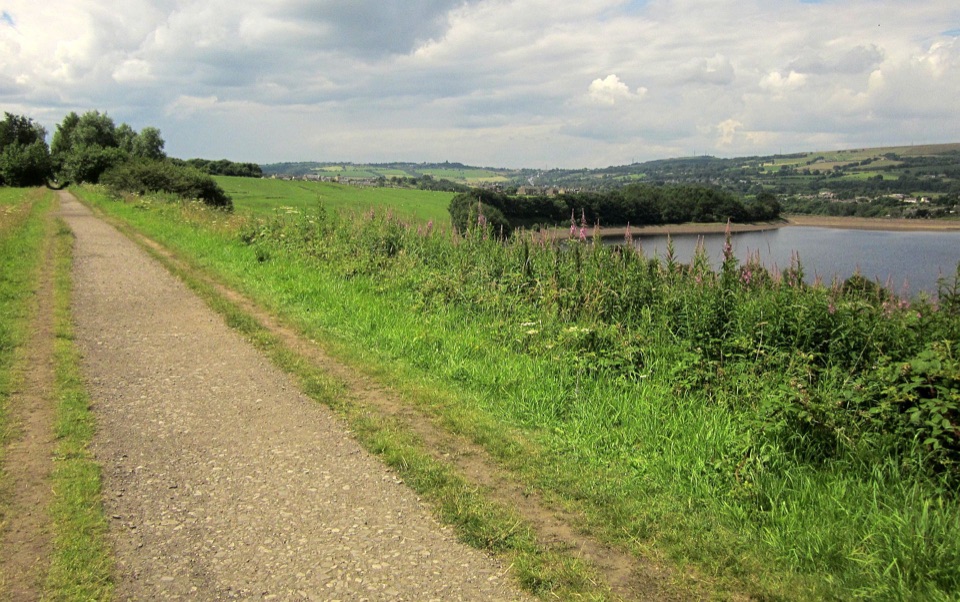
Dove Stone is the big, accessible one at the bottom of the valley, and it works as the gateway to everything above it. While Yeoman Hey, Greenfield and Chew sit higher up in rougher, quieter country, Dove Stone has the car park, the toilets, the wide made-up path and the panoramic view across the southern Pennines from the water's edge. It is a working drinking-water reservoir, so it is a place to walk beside rather than get into, and the shoreline paths are the point.

The main loopThe classic outing is the circular route of about 2.

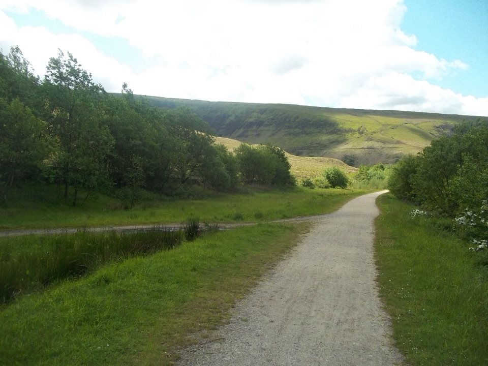
The classic outing is the circular route of about 2.5 miles (4 km) all the way round the water, part tarmac and part gravel. It is fairly level for most of its length but has two steep sections, so it is easy-going rather than completely flat. From the Dove Stone car park off the A635 east of Greenfield, the marked visitor trail starts around 50 m from the Blue Badge bays, and there are shorter options of roughly 1.2 km and 3 km if you want a taste rather than the full circuit. The route takes in the dam wall, the spillway and Celebration Wood, with woodland paths and open water views trading places as you go. An accessible gate on the route needs a RADAR key.

Going higherHead beyond the main loop and the character changes fast.

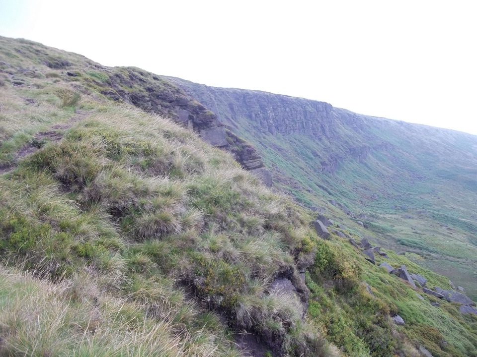
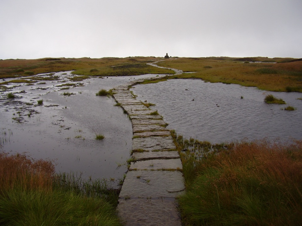
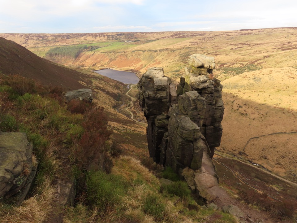
Head beyond the main loop and the character changes fast. Tracks and paths climb toward the upper reservoirs and open moorland, and they are rougher underfoot, wetter and far more exposed to wind. The tops here are blanket bog that built up over roughly 5,000 years, and ongoing habitat work is rewetting peat and improving the moorland, so expect boggy ground and stick to paths. Boots, a windproof layer and a proper look at the forecast matter more up there than they do at the waterside.

Wildlife and how to look for itNothing is guaranteed, but the reserve and surrounding moors hold a genuinely good cast.

Nothing is guaranteed, but the reserve and surrounding moors hold a genuinely good cast. On the open moorland above, listen for curlew and golden plover, and watch for red grouse, ring ouzel and dunlin. Peregrines and ravens soar around the old quarry cliffs. Mountain hares can turn up on the rocks above the route toward Chew Reservoir, sometimes in a pale winter coat that stands out against dark gritstone. Lower down and in warmer months, look for bees, butterflies, dragonflies and damselflies, plus frogs, toads and palmate newts near damp ground. Move slowly, keep quiet, and bring binoculars.

Practical detailsParking at the main car park off the A635, including four Blue Badge bays.
  • Parking at the main car park off the A635, including four Blue Badge bays.
  • Accessible toilets at the main car park. The Binn Green toilets are not available.
  • No refreshments on site, so bring food, drink and a flask.
  • Ashway Gap picnic area has five picnic tables and benches, two with wheelchair and pushchair friendly seating.
  • Walking, bird watching, cycling and orienteering all happen here, and there is sailing at the site.
Honest drawbacksIt is popular, and on a sunny weekend the lower loop can feel busy with families, dogs and…

It is popular, and on a sunny weekend the lower loop can feel busy with families, dogs and bikes. The valley is open to the wind, which can make an otherwise gentle walk feel raw. Litter turns up in the busiest spots, and the toilet facilities are functional rather than smart. Because this is a working drinking-water reservoir, swimming and informal access to the water are not allowed, and the edges and the spillway deserve respect, especially with children or dogs in tow. Keep to the paths and the place gives you a lot for very little effort.

Wildlife

Wildlife in Peak District

All Peak District wildlife maps

Sighting maps show where each species has been reported across Peak District. Wildlife moves, so no sighting is guaranteed.

Parkwolf’s Peak District ranking

Top sights in Peak District

All 76 places
  1. 1Chatsworth HouseSight
  2. 2Mam TorSight
  3. 3Dovedale Stepping StonesSight
  4. 4Ladybower ReservoirSight
  5. 5Stanage EdgeSight
  6. 6Kinder ScoutSight

Take Parkwolf to Peak District.

The audio tour guide for the drive, plus offline maps, trails, and wildlife heatmaps for when the signal drops.

4.7 from 8,600+ ratings

Download Parkwolf on the App StoreGet Parkwolf on Google Play