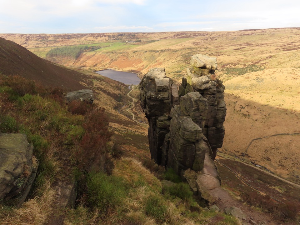
The Trinnacle in Peak District National Park

Sight · Peak District National Park

The Trinnacle

Three gritstone pillars perched high above the Dove Stone reservoirs

Photo: Wikimedia Commons
Type
Sight
Nearest trail
2.7 km
Audio stories
2 nearby
  • #32 of 69 sights

Hear the audio tour

An Isle of Skye on the Moor

Overview

About The Trinnacle

Why stop

  • Distinctive gritstone pillars above reservoir and moorland views

Heads up

  • Exposed, rugged approach with dangerous scrambling around the rock

Map

Where it is

Loading the Peak District map
Full map
SightThe Trinnacle53.53990, -1.94561
Keep this map with you offline in the Parkwolf app

Plan your stop

Before you go

Best time to go

Start early, or pick a quieter weekday, mostly for parking: the car parks serving the Dove Stone area fill fast on weekends and holidays and there is little alternative nearby. Dry, clear conditions give the best footing and the widest views. Bring sturdy boots with grip, windproof layers for a very exposed summit, food and water, and the means to navigate confidently, in line with the authority's advice that visitors should be well prepared for all conditions.


5 active Peak District alerts

  • ClosureA54 Cat and Fiddle road closureThe A54 Macclesfield Main Road (Cat and Fiddle) is fully closed to all traffic from 27 July through 30 October 2026 during phase 1 improvement works.Official details
  • ClosureHooks Carr (Stanage Popular) car park closureHooks Carr (Stanage Popular) car park will be partially or fully closed from 6 October for four weeks.Official details
See all 5 alerts
A park ranger sits on a dash-mounted phone, talking, as Parkwolf’s Tour Guide plays “Army Cutworm Moths: A Grizzly Bear Buffet” on Grand Loop Road below Dunraven Pass in Yellowstone
Parkwolf Tour GuideThe highest, rockiest slopes around here are a summer buffet for grizzly bears.

Peak District Tour Guide

Your drive to The Trinnacle, narrated.

Parkwolf is a GPS audio tour guide for Peak District National Park. As you drive, it chimes in with what’s ahead: hidden gems, upcoming stops, history, geology, and wildlife, right through your car’s speakers.

Recorded for this area

An Isle of Skye on the Moor
0:00 / 0:27
“This stretch of the A635 is sometimes called the Isle of Skye, though Scotland is a long way off. By the eighteen forties, people were using that name for the moor around Wessenden Head.”

Plays on the road 1.3 km from The Trinnacle in the Parkwolf Peak District Tour Guide.

More stories near here in the app

  • The Moor That Grew Back
  • Listen for the Curlew
  • Crowden Horseshoe and Laddow Rocks
  • The Railway Beneath Woodhead
  • 298 audio storiesacross Peak District’s roads, triggered by GPS as you drive
  • Wildlife heatmapsfor Red Deer, Red Fox, Eurasian Otter, and 13 more
  • Works offlinemaps, 88 trails, 76 places, and audio download before you lose signal
  • CarPlay readysimple controls built for the drive
★★★★★
“Fantastic app with many points of information… It’s great to just turn on while you’re driving and it gives you an audio tour of the national Park. We love it!!!!”
JMJamesApp Store review
Download Parkwolf on the App StoreGet Parkwolf on Google Play

4.7 from 8,600+ ratings

Guide

More about The Trinnacle

What you actually seeAt the top of Raven Stones, on the edge above Dove Stone, a cluster of weathered gritstone…

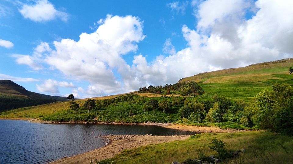
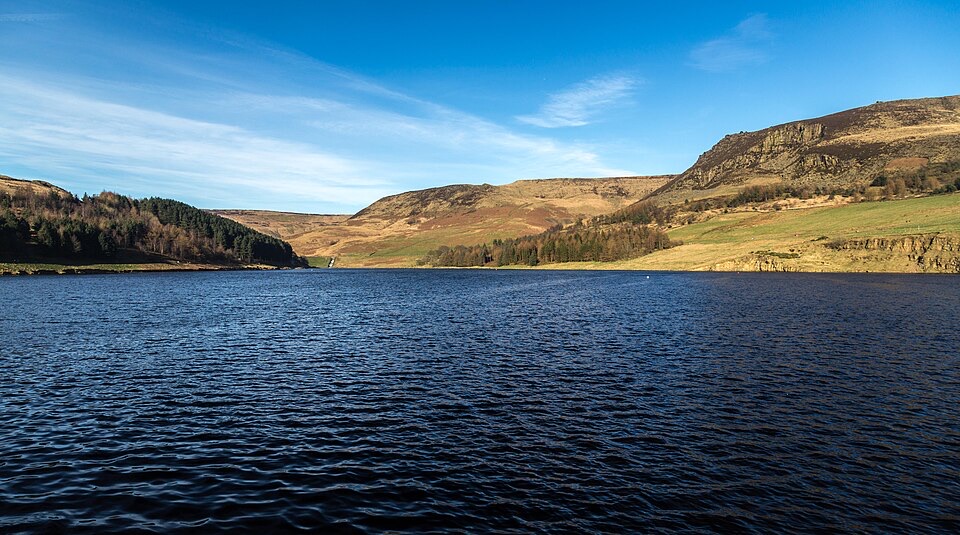
At the top of Raven Stones, on the edge above Dove Stone, a cluster of weathered gritstone pillars rises roughly 30 ft out of the moor, split by narrow gaps with nothing but air behind them. At around 900 ft of altitude, the drop-off framing behind the rock is the whole point: reservoir water below, the clough cutting in from one side, and rolling moorland stacked up behind. It reads very differently from the flat, easy loop around the water lower down, which is why people keep making the climb.

The walk upMost routes start from the reservoir area below and take 2 to 3 hours return, with a stiff pull…

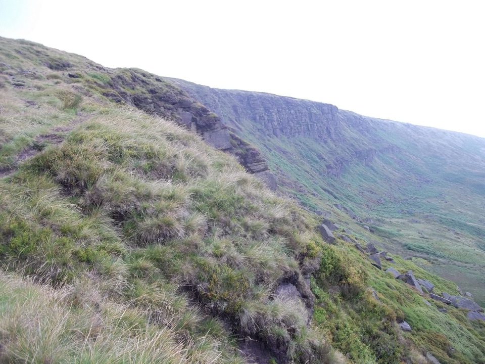
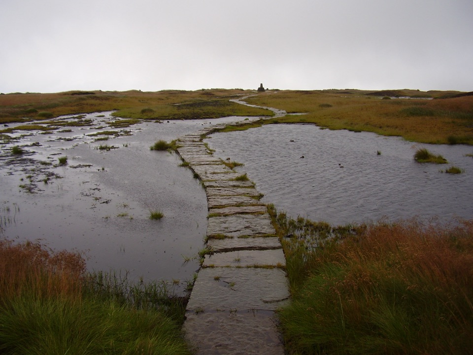
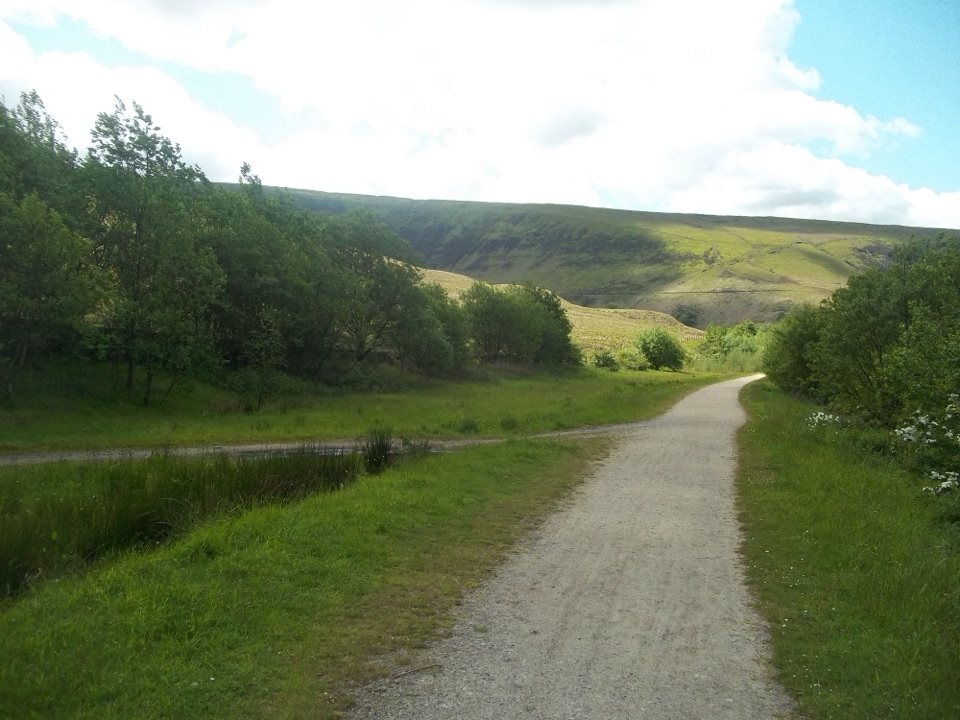
Most routes start from the reservoir area below and take 2 to 3 hours return, with a stiff pull of several hundred metres of ascent onto Dovestone Edge. Longer circular versions of around 8 km stretch to 3 to 4 hours, taking in Holme Clough, a small waterfall and Greenfield Reservoir on the way back down. This is a strenuous, rugged hike on rough moorland paths rather than a stroll, and the ground can be boggy and slippery after rain.

Safety, honestlyPark authority advice is clear: climbing on the rocks is not advised at any time, in any…
  • Park authority advice is clear: climbing on the rocks is not advised at any time, in any conditions.
  • The gaps and edges are a dangerous scramble with a real risk of serious injury, and the exposure is severe.
  • There are no facilities and no quick emergency access at the formation. A callout here can mean Mountain Rescue volunteers and a long wait.
  • You can enjoy the formation and the views fully from solid ground nearby, and that is the sensible way to do it.
Good to knowAccess is on foot only, from the reservoir car parks about a mile of walking and climbing away,…

Access is on foot only, from the reservoir car parks about a mile of walking and climbing away, so plan the whole outing rather than treating it as a quick stop. Photographers do best in low side light early or late in the day, when the pillars cast shadow across the moor and the water below picks up the sky.

Wildlife

Wildlife in Peak District

All Peak District wildlife maps

Sighting maps show where each species has been reported across Peak District. Wildlife moves, so no sighting is guaranteed.

Parkwolf’s Peak District ranking

Top sights in Peak District

All 76 places
  1. 1Chatsworth HouseSight
  2. 2Mam TorSight
  3. 3Dovedale Stepping StonesSight
  4. 4Ladybower ReservoirSight
  5. 5Stanage EdgeSight
  6. 6Kinder ScoutSight

Take Parkwolf to Peak District.

The audio tour guide for the drive, plus offline maps, trails, and wildlife heatmaps for when the signal drops.

4.7 from 8,600+ ratings

Download Parkwolf on the App StoreGet Parkwolf on Google Play