Castleton in Peak District National Park

#7 of 69 sights in Peak District

Sight · Peak District National Park

Castleton

Gritstone-and-limestone village where Norman ruins meet Blue John caves

Photo: Wikimedia Commons
Type
Sight
Nearest trail
0.2 km
Audio stories
7 nearby
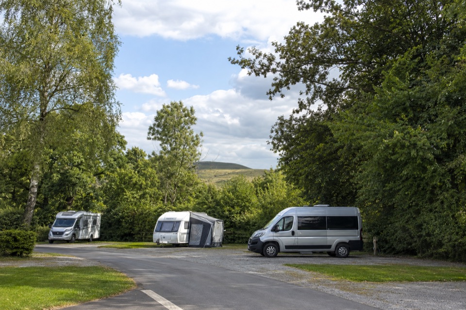
  • Parking
  • Restrooms
  • Food
  • Restaurant

Hear the audio tour

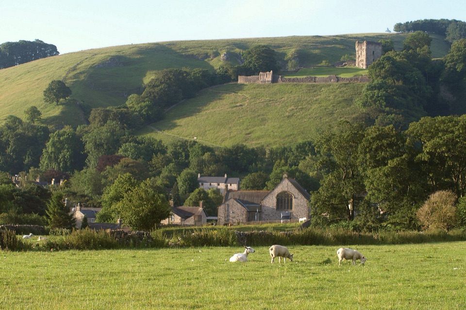
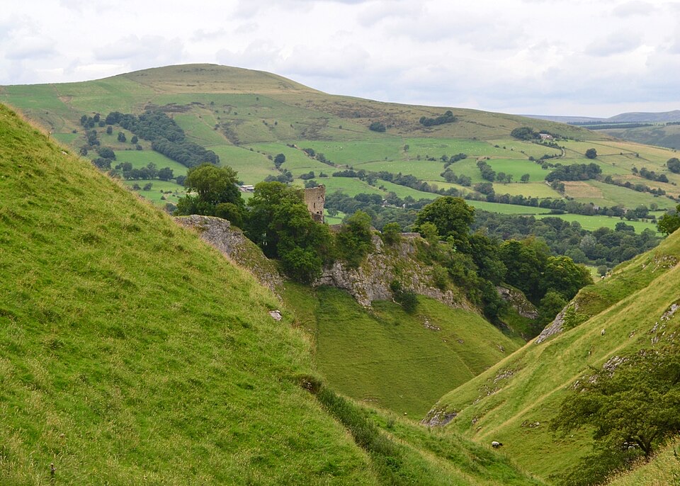
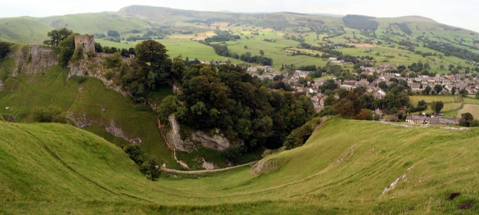
Castleton Village and Peveril Castle

Overview

About Castleton

Why stop

  • Atmospheric stone village with excellent walking access
  • Strong mix of history, caves and Hope Valley scenery

Heads up

  • Main street and parking areas can be very busy
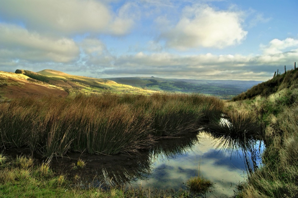
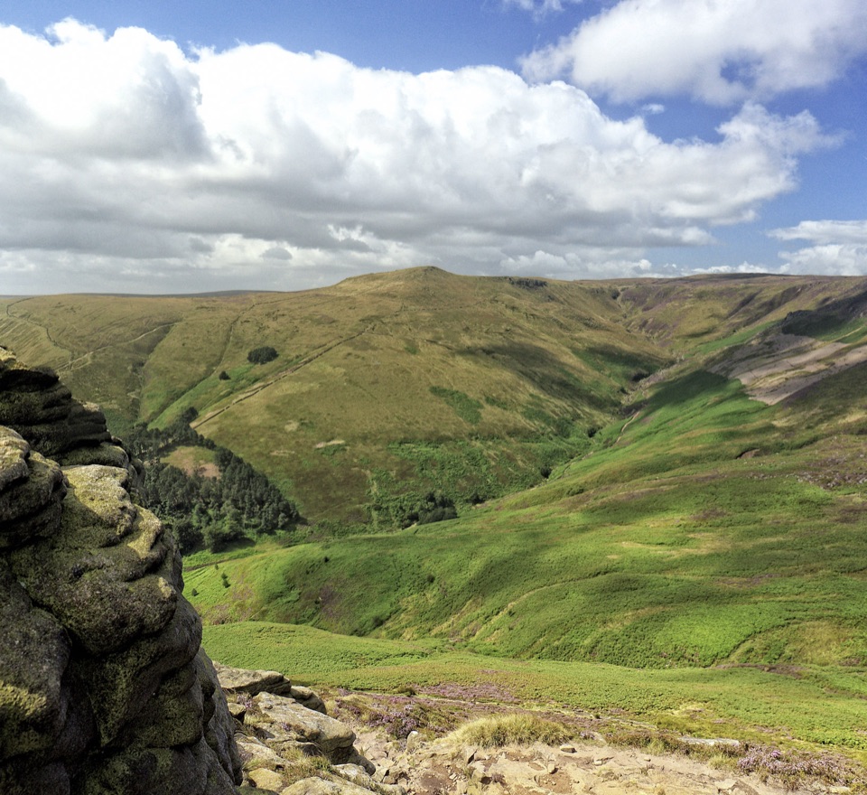
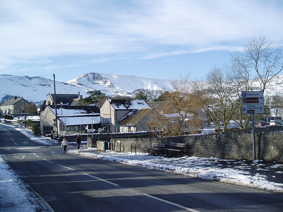
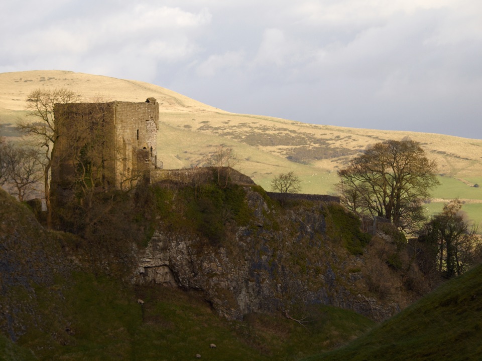
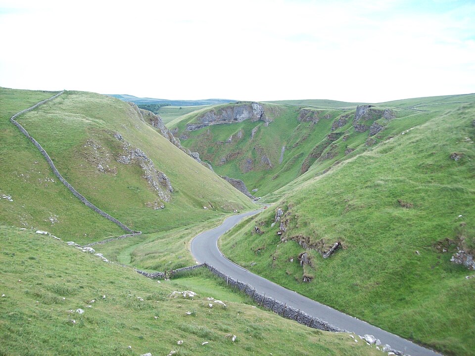
Castleton sits at the head of the Hope Valley, right on the seam where limestone country meets gritstone moor, and that geology shapes everything about it. The village is approached either along the valley or up through the dramatic limestone gorge of Winnats Pass, and it is hemmed in by high ground on three sides, with the ruins of a Norman castle on the crag above the rooftops. It is a compact, walkable settlement of stone cottages and narrow back lanes that works equally well as a half-day wander or a base for a full day out.
Parkwolf’s verdictWhy stop

Map

Where it is

Loading the Peak District map
Full map
SightCastleton53.34308, -1.77462
Keep this map with you offline in the Parkwolf app

Plan your stop

Before you go

Best time to visit

Early morning on a weekday is generally calmer: parking is easier, the main street is quiet, and low light rakes across the stone frontages and the castle crag above. Late afternoon works well for photography looking west toward Winnats Pass, when the gorge sides catch warm light. Summer weekends, bank holidays and school holidays are the busiest, and midday is when the main street fills. Autumn brings colour on the surrounding slopes with thinner crowds, and winter is quietest, though shorter daylight limits how much walking you can fit in. Most visitors find a full day enough to wander, walk a short loop, and stop for food.


5 active Peak District alerts

  • ClosureA54 Cat and Fiddle road closureThe A54 Macclesfield Main Road (Cat and Fiddle) is fully closed to all traffic from 27 July through 30 October 2026 during phase 1 improvement works.Official details
  • ClosureHooks Carr (Stanage Popular) car park closureHooks Carr (Stanage Popular) car park will be partially or fully closed from 6 October for four weeks.Official details
See all 5 alerts
A park ranger sits on a dash-mounted phone, talking, as Parkwolf’s Tour Guide plays “Army Cutworm Moths: A Grizzly Bear Buffet” on Grand Loop Road below Dunraven Pass in Yellowstone
Parkwolf Tour GuideThe highest, rockiest slopes around here are a summer buffet for grizzly bears.

Peak District Tour Guide

Your drive to Castleton, narrated.

Parkwolf is a GPS audio tour guide for Peak District National Park. As you drive, it chimes in with what’s ahead: hidden gems, upcoming stops, history, geology, and wildlife, right through your car’s speakers.

Recorded for this place

Castleton Village and Peveril Castle
0:00 / 0:32
“You're coming up on Castleton, a stone village below the ruins of Peveril Castle.”

Plays as you drive up to Castleton in the Parkwolf Peak District Tour Guide.

More stories near here in the app

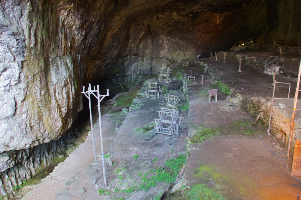
  • Peak Cavern and the Rope Makers' Village
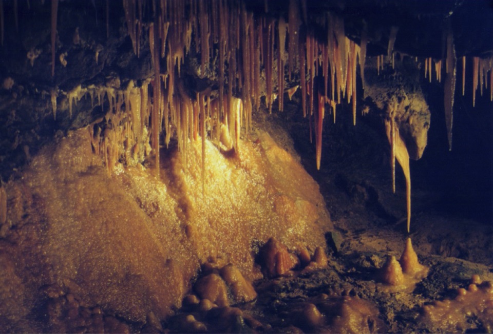
  • Treak Cliff and Blue John Caverns
  • Winnats Pass and Speedwell Cavern
  • The Boundary across Bradwell
  • 298 audio storiesacross Peak District’s roads, triggered by GPS as you drive
  • Wildlife heatmapsfor Red Deer, Red Fox, Eurasian Otter, and 13 more
  • Works offlinemaps, 88 trails, 76 places, and audio download before you lose signal
  • CarPlay readysimple controls built for the drive
★★★★★
“Fantastic app with many points of information… It’s great to just turn on while you’re driving and it gives you an audio tour of the national Park. We love it!!!!”
JMJamesApp Store review
Download Parkwolf on the App StoreGet Parkwolf on Google Play

4.7 from 8,600+ ratings

Guide

More about Castleton

What the village itself offersIndependent shops, in a village long associated with Blue John stone, a semi-precious mineral…
  • Independent shops, in a village long associated with Blue John stone, a semi-precious mineral traditionally linked to the caverns nearby.
  • Cafés and pubs for refreshments between walks, plus a small convenience shop and post office for basics.
  • St Edmund's Church and the village war memorial, both easy to include in a slow loop of the centre.
  • Quiet back lanes away from the main road, which are where the village feels most like itself.
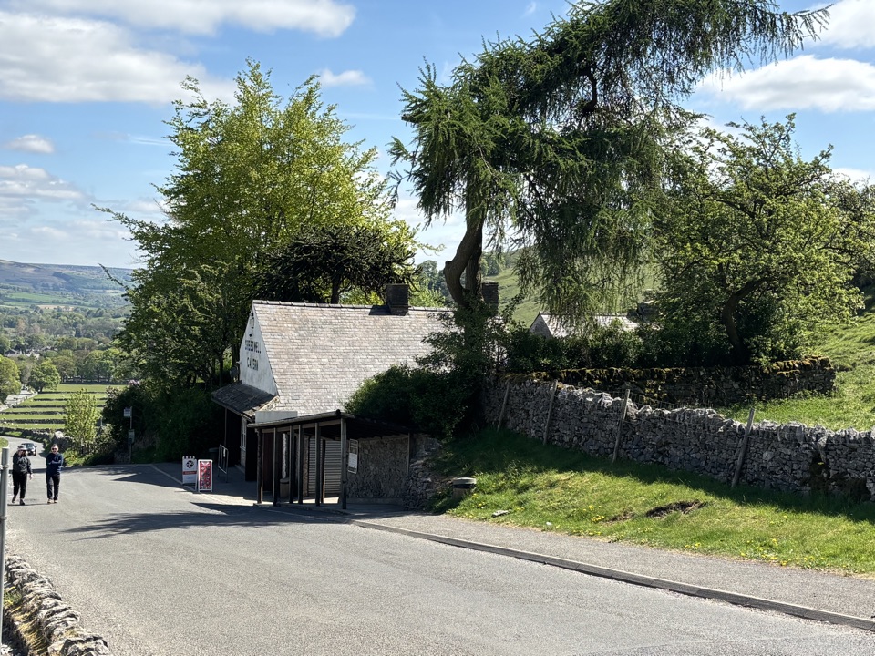
  • Practical services cluster near the middle of the village, with pay-and-display parking and public toilets adjacent to the national park centre (the centre is a separate attraction with its own displays, museum space, shop and café).
As a walking baseThe village makes a useful base for short walks.

The village makes a useful base for short walks. A signed family walk stays fairly level and uses pavements or tarmac and gravel roads through the village and its immediate surroundings. A popular circular route of about 2.7 km with roughly 72 m of ascent, typically 30 to 60 minutes, starts from the visitor centre, threads the village and fields, crosses Peakshole Water on Spiral Bridge, passes Losehill Hall, and opens up views toward Mam Tor and Winnats Pass before returning below the castle. Note that these routes include narrow gates and a stretch beside the busier main road, so they suit some visitors better than others.

The village is also the natural starting point for separate paid attractions nearby, including Peveril Castle, whose Norman keep and earthworks trace back to work completed in 1086 for William Peverel, and the show caverns and Cave Dale. Those have their own entrances, tickets and arrangements.

Honest drawbacksThe main street and parking areas can be very busy, particularly in peak season and on fine…

The main street and parking areas can be very busy, particularly in peak season and on fine weekends, and traffic through a village of this size makes some pavements feel tight. The core is small, so if you come only for the village and not for the walks, caves or castle, you may see it all in under an hour. Facilities are village scale rather than resort scale, so plan ahead if you need parking at popular times.

Wildlife

Wildlife in Peak District

All Peak District wildlife maps

Sighting maps show where each species has been reported across Peak District. Wildlife moves, so no sighting is guaranteed.

Keep exploring

Near Castleton

See it all on the map

Trails nearby

More stops nearby

Parkwolf’s Peak District ranking

Top sights in Peak District

All 76 places
  1. 1Chatsworth HouseSight
  2. 2Mam TorSight
  3. 3Dovedale Stepping StonesSight
  4. 4Ladybower ReservoirSight
  5. 5Stanage EdgeSight
  6. 6Kinder ScoutSight

Take Parkwolf to Peak District.

The audio tour guide for the drive, plus offline maps, trails, and wildlife heatmaps for when the signal drops.

4.7 from 8,600+ ratings

Download Parkwolf on the App StoreGet Parkwolf on Google Play