Bamford Edge in Peak District National Park

Sight · Peak District National Park

Bamford Edge

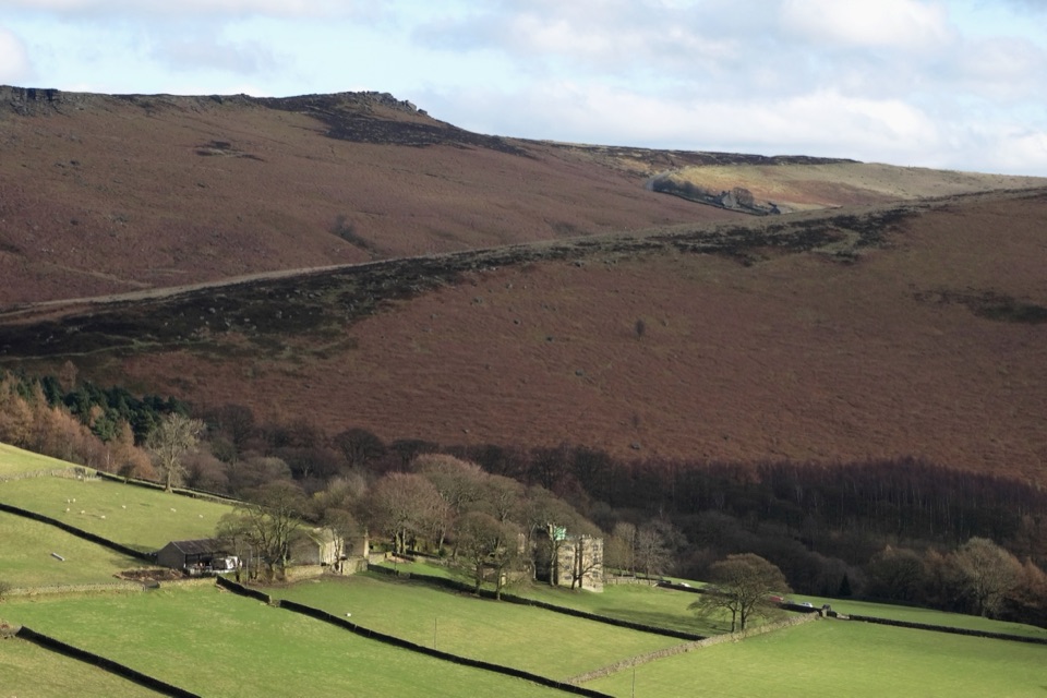
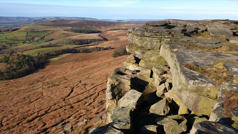
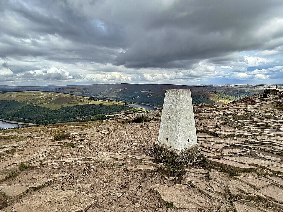
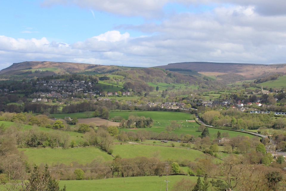
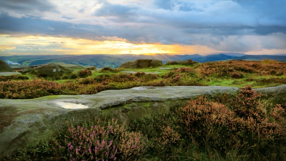
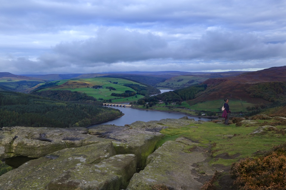
Gritstone slabs high above Ladybower Reservoir and the Hope Valley

Photo: Wikimedia Commons
Type
Sight
Nearest trail
1.1 km
Audio stories
6 nearby
  • Scenic viewpoint
  • #26 of 69 sights

Hear the audio tour

Bamford Edge Above Ladybower

Overview

About Bamford Edge

Why stop

  • Big Ladybower Reservoir and Hope Valley panorama
  • Distinctive gritstone platforms and climbing crag

Heads up

  • Uphill, uneven approach with loose rock
  • Limited layby parking fills on bright weekends
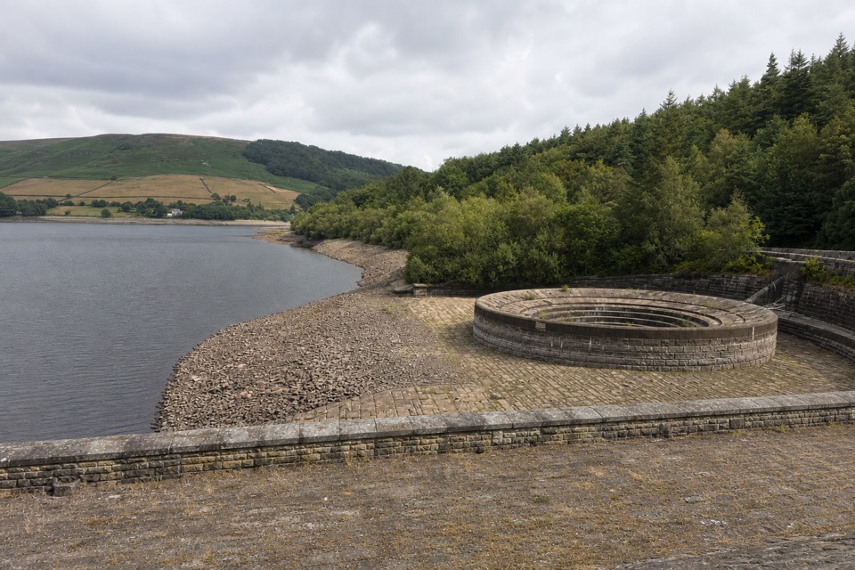
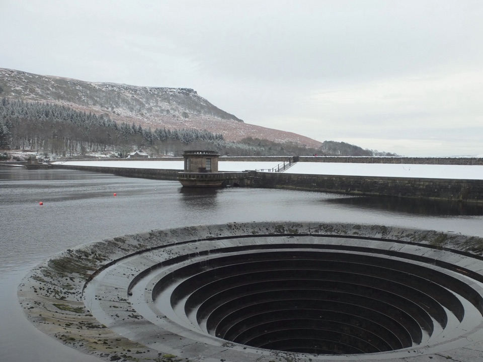
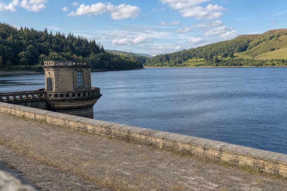
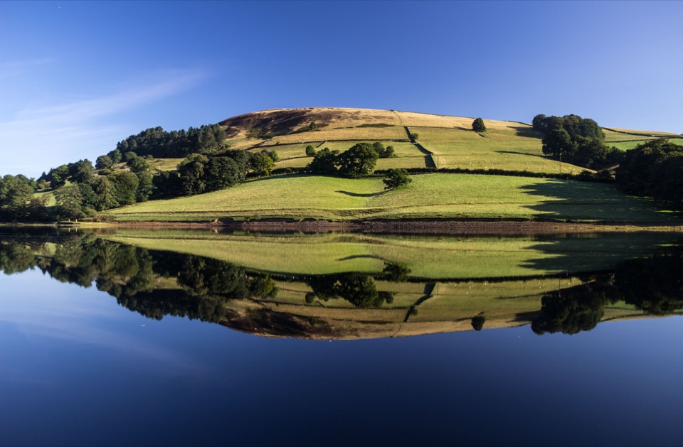
Bamford Edge is a gritstone edge above Ladybower Reservoir and the Hope Valley, and the view is the reward. It arrives as you top out onto the broad, tilted slabs that form the lip of the escarpment, with the reservoir and open moorland spread out below.
Parkwolf’s verdictWhy stop here

Map

Where it is

Loading the Peak District map
Full map
SightBamford Edge53.36029, -1.68923
Keep this map with you offline in the Parkwolf app

Plan your stop

Before you go

Best time to go

Early morning or late in the day gives useful light on the reservoir and a calmer edge. Clear, settled conditions are worth waiting for, as low cloud can obscure the view entirely. Bright weekends are the busiest times for both the laybys and the edge.


Getting there and parking

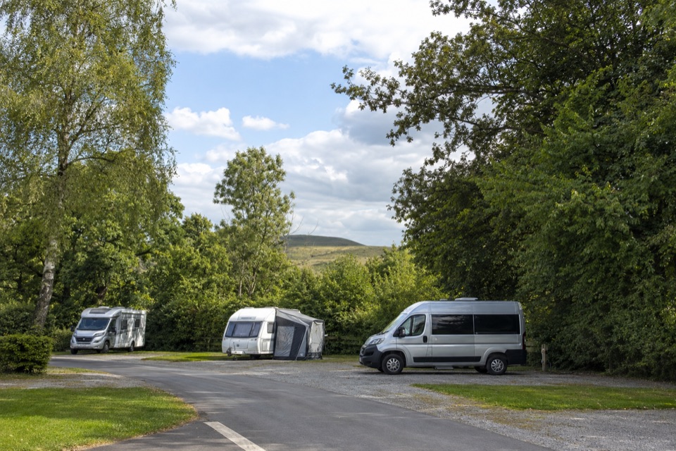
  • Limited layby parking is reported on New Road, not at the cliff itself, and spaces fill on bright weekends. Arriving early or planning a longer walk in both help.
  • The approach varies by route and is uphill and rocky, with uneven ground and loose stone in places.
  • Choose your line before you set off, since different approaches vary considerably in length and effort.

5 active Peak District alerts

  • ClosureA54 Cat and Fiddle road closureThe A54 Macclesfield Main Road (Cat and Fiddle) is fully closed to all traffic from 27 July through 30 October 2026 during phase 1 improvement works.Official details
  • ClosureHooks Carr (Stanage Popular) car park closureHooks Carr (Stanage Popular) car park will be partially or fully closed from 6 October for four weeks.Official details
See all 5 alerts
A park ranger sits on a dash-mounted phone, talking, as Parkwolf’s Tour Guide plays “Army Cutworm Moths: A Grizzly Bear Buffet” on Grand Loop Road below Dunraven Pass in Yellowstone
Parkwolf Tour GuideThe highest, rockiest slopes around here are a summer buffet for grizzly bears.

Peak District Tour Guide

Your drive to Bamford Edge, narrated.

Parkwolf is a GPS audio tour guide for Peak District National Park. As you drive, it chimes in with what’s ahead: hidden gems, upcoming stops, history, geology, and wildlife, right through your car’s speakers.

Recorded for this place

Bamford Edge Above Ladybower
0:00 / 0:29
“You're approaching the access for Bamford Edge, where an uphill, rocky walk reaches gritstone slabs above Ladybower Reservoir. From the crest, you get the reservoir and Hope Valley in one wide view.”

Plays as you drive up to Bamford Edge in the Parkwolf Peak District Tour Guide.

More stories near here in the app

  • Win Hill from Yorkshire Bridge
  • Ladybower Reservoir and Heatherdene
  • The Salt in Saltergate Lane
  • The Community beside Navio
  • 298 audio storiesacross Peak District’s roads, triggered by GPS as you drive
  • Wildlife heatmapsfor Red Deer, Red Fox, Eurasian Otter, and 13 more
  • Works offlinemaps, 88 trails, 76 places, and audio download before you lose signal
  • CarPlay readysimple controls built for the drive
★★★★★
“Fantastic app with many points of information… It’s great to just turn on while you’re driving and it gives you an audio tour of the national Park. We love it!!!!”
JMJamesApp Store review
Download Parkwolf on the App StoreGet Parkwolf on Google Play

4.7 from 8,600+ ratings

Guide

More about Bamford Edge

What you see and doWalk along the crest, where broad gritstone platforms make natural seats for a picnic or a long…
  • Walk along the crest, where broad gritstone platforms make natural seats for a picnic or a long look at the water.
  • Take photographs from several points along the edge rather than crowding a single spot.
  • Watch climbers, since the outcrop is a recognised gritstone crag.
  • Head onto the moorland above the edge.
Practical notesThis is exposed clifftop terrain, so take care near the lip, particularly in wind or wet…
  • This is exposed clifftop terrain, so take care near the lip, particularly in wind or wet weather.
  • Do not expect verified visitor facilities at the cliff itself, so carry your own water, food and layers.
  • Footwear with good grip is sensible on wet or loose gritstone.
  • Open-country barbecues and fires are not permitted, so plan on cold food.

Wildlife

Wildlife in Peak District

All Peak District wildlife maps

Sighting maps show where each species has been reported across Peak District. Wildlife moves, so no sighting is guaranteed.

Keep exploring

Near Bamford Edge

See it all on the map

Trails nearby

More stops nearby

Parkwolf’s Peak District ranking

Top sights in Peak District

All 76 places
  1. 1Chatsworth HouseSight
  2. 2Mam TorSight
  3. 3Dovedale Stepping StonesSight
  4. 4Ladybower ReservoirSight
  5. 5Stanage EdgeSight
  6. 6Kinder ScoutSight

Take Parkwolf to Peak District.

The audio tour guide for the drive, plus offline maps, trails, and wildlife heatmaps for when the signal drops.

4.7 from 8,600+ ratings

Download Parkwolf on the App StoreGet Parkwolf on Google Play