Parking
Start and finish at the paid car park by Fairholmes Visitor Centre. The route leaves the road 50–100 metres beyond the centre; toilets and a refreshment kiosk are beside the car park.
#8 of 88 trails in Peak District
Peak District National Park, EN
A full moorland loop to one of the Peak’s strangest rock landscapes.
Overview
Map & elevation
Plan your hike

The highest, rockiest slopes around here are a summer buffet for grizzly bears.
Peak District Tour Guide
Parkwolf is a GPS audio tour guide for Peak District National Park. As you drive, it chimes in with what’s ahead: hidden gems, upcoming stops, history, geology, and wildlife, right through your car’s speakers.
Recorded for this trailhead
Alport Castles from Fairholmes“Fairholmes is coming up, the start of the Alport Castles walk. Allow about four hours for the seven-and-a-half-mile loop over steep, sometimes boggy moorland, with faint paths beyond the trees.”
Plays as you drive up to this trailhead in the Parkwolf Peak District Tour Guide.
More stories near here in the app
“Fantastic app with many points of information… It’s great to just turn on while you’re driving and it gives you an audio tour of the national Park. We love it!!!!”


Trail guide
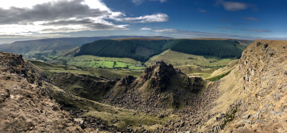
Alport Castles Walk is a 7.5-mile circular walk from the Fairholmes Visitor Centre. It climbs out of the Upper Derwent through Lackerbrook and over Lockerbrook Heights, reaches the landslip above Alport Dale, then drops into the valley and returns around the Ashop side. Allow about four hours. This is a full moorland circuit, not just a short stroll to a viewpoint. You get one of the Peak District’s strangest rock landscapes in return for sustained climbing, rough paths and a long way from help. If you want an easier reservoir-side visit, stay near Fairholmes and save this one for a better-equipped day.
Leave Fairholmes along the road for 50–100 metres and take the path beside the stream. The early climb winds up through tracks towards Lackerbrook; follow the marker for Lackerbrook, then continue to Lackerbrook Farm, now an outdoor centre. Cross the field past the farm to the ladder stile towards Bellhag Tor and Lockerbrook Heights. The path gets rougher as it leaves the shelter of the trees. Once you’re on the open moor, the Alport Valley falls away to your left and the way can feel a long way from the busy reservoir below.
The route is steep in places and the path across the moor is faint. Expect uneven ground, wet patches and boggy stretches; the woodland descent near the finish can be slippery after rain. The ridge is exposed, and poor visibility makes route-finding harder. Carry a map or offline directions and be comfortable navigating without mobile service: there’s no phone signal in the Upper Derwent Valley.
Near Birchin Hat, pause and look back down Alport Dale. The Tower, an isolated pinnacle, stands above a jumble of fallen gritstone blocks, with Alport Mere tucked below. This is a landslip rather than a built ruin: weaker shale beneath harder Millstone Grit gave way, sending blocks down the hillside and leaving the castle-like shapes. The best photo is from near Birchin Hat, with The Tower against the broken slope and a little valley in the frame for scale. Peregrines use the crags as a nesting site, though a sighting is never guaranteed.
From the crags, follow the faint path down to a crossing of the Alport River near Alport Castles Farm. Hannah Mitchell, the socialist and suffragette, grew up at the remote farmstead. Keep to the route as it leaves the valley; this is a working farm, not somewhere to wander around.
After the farm, follow the valley track towards the A57. Cross carefully to reach the River Ashop and Rowlee Bridge, then continue through woodland by the water conduit and cross the road again near Hagg Farm. The return is a real climb: a steep, twisting cobbled path takes you to the crest, then a sign for Fairholmes leads down through often-boggy woods to the car park. The two A57 crossings and steep final climb are easy to underestimate after several hours out.
Fairholmes has paid parking, toilets and a refreshment kiosk at the visitor centre; don’t count on refreshments along the route. Take enough food and water for the whole circuit. The remote setting is the point, but it also means you should be ready to navigate, manage changing weather and finish the walk on rough ground.
Wildlife
 248 sightingsRed DeerMost seen around 7 AMSighting map
 36 sightingsRed FoxMost seen around 6 AMSighting map
 15 sightingsEurasian OtterMost seen around 7 PMSighting map
 51 sightingsPeregrine FalconMost seen around 6 PMSighting map
 47 sightingsEuropean Fallow DeerMost seen around 6 AMSighting map
 54 sightingsWestern Roe DeerMost seen around 7 PMSighting map
Sighting maps show where each species has been reported across Peak District. Wildlife moves, so no sighting is guaranteed.
Keep exploring
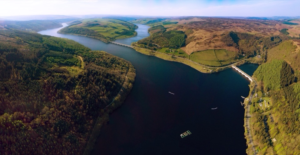 ModerateDerwent Valley and Reservoir Walk7.4 km · 2.5 hr · At the trailheadReservoir views, a lost village and moorland in one compact loop.
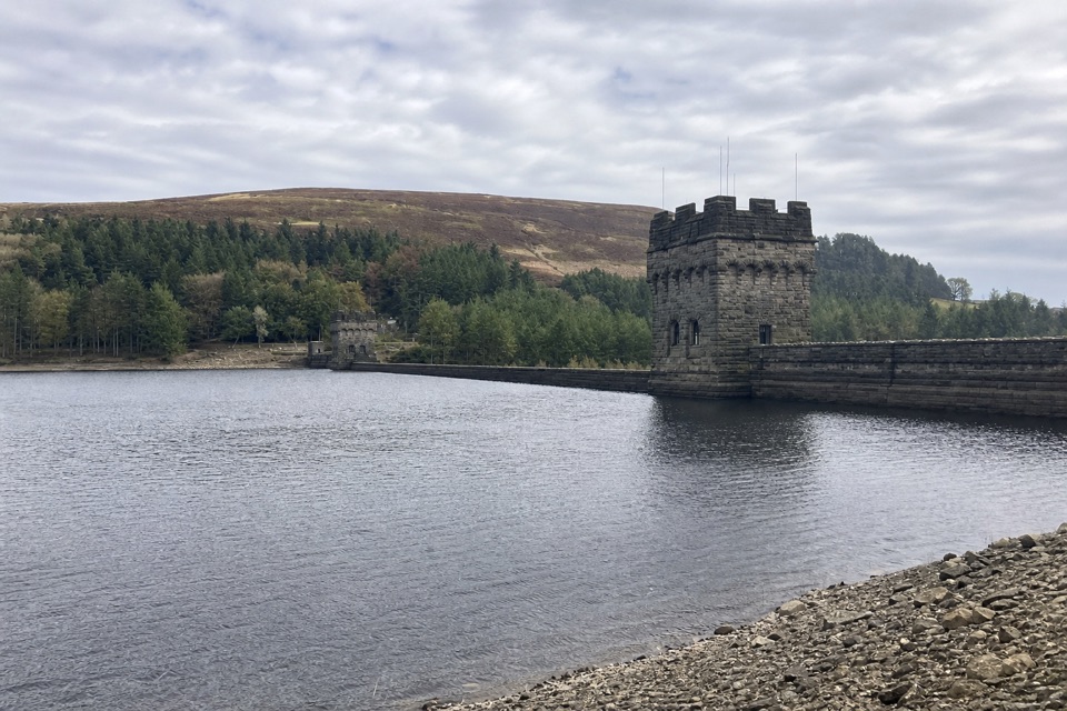 ModerateDerwent Dam Black Route4 km · 1.3 hr · At the trailheadA short loop for the dam’s twin stone towers and reservoir views.
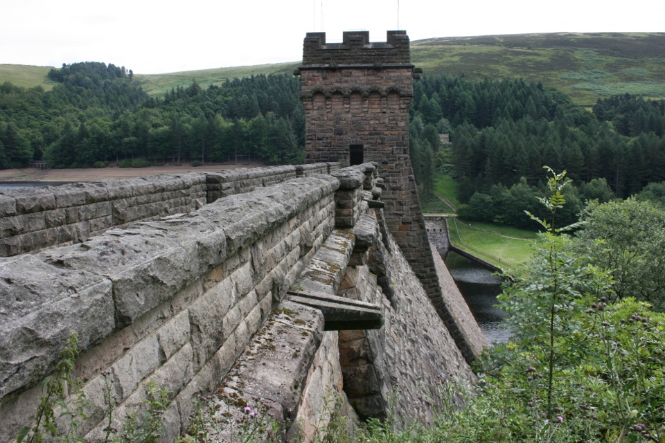 EasyDerwent Dam Green Route6 km · 1.9 hr · At the trailheadClimb through Hagg Side woods for broad reservoir views.
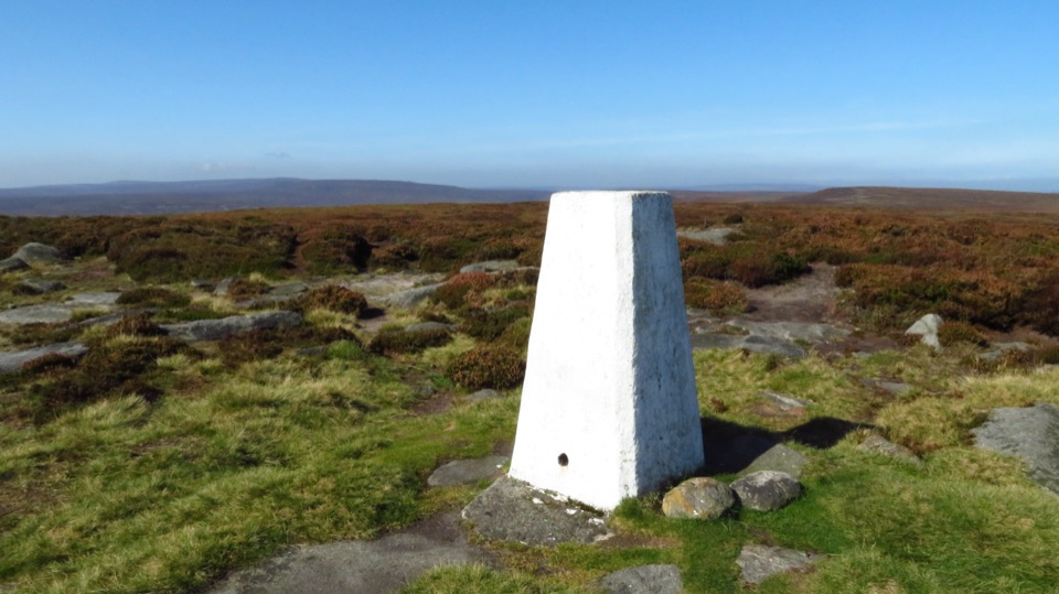 ChallengingDerwent and Howden Reservoirs and Margery Hill Circular18 km · 5.5 hr · 0.1 km awayReservoir roads lead to a lonely trig point and wide moorland views.
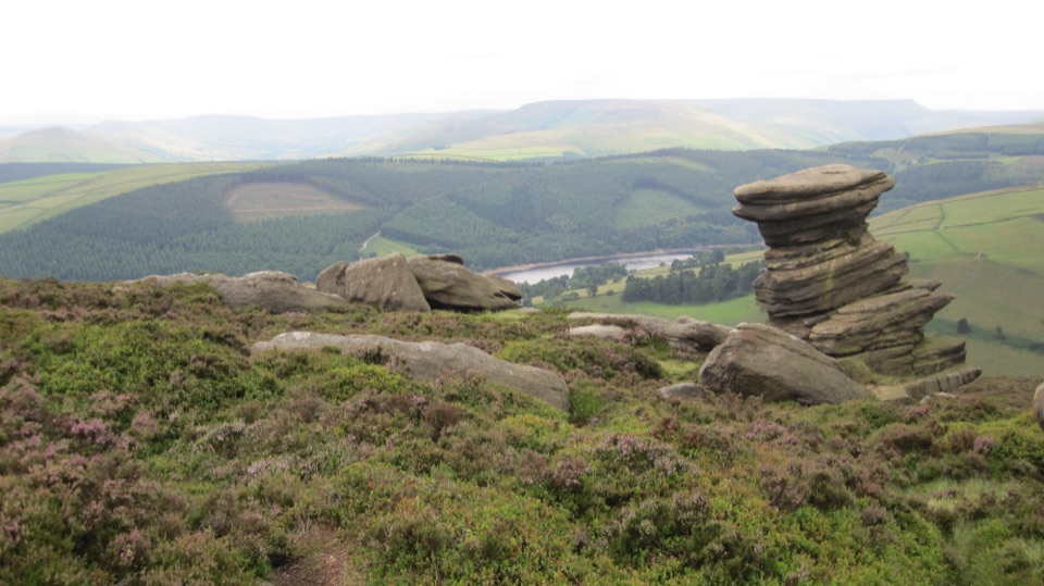 ModerateDerwent Edge Circular Walk12.9 km · 5 hr · 0.1 km awayA gritstone ridge loop with a reservoir view at every turn.
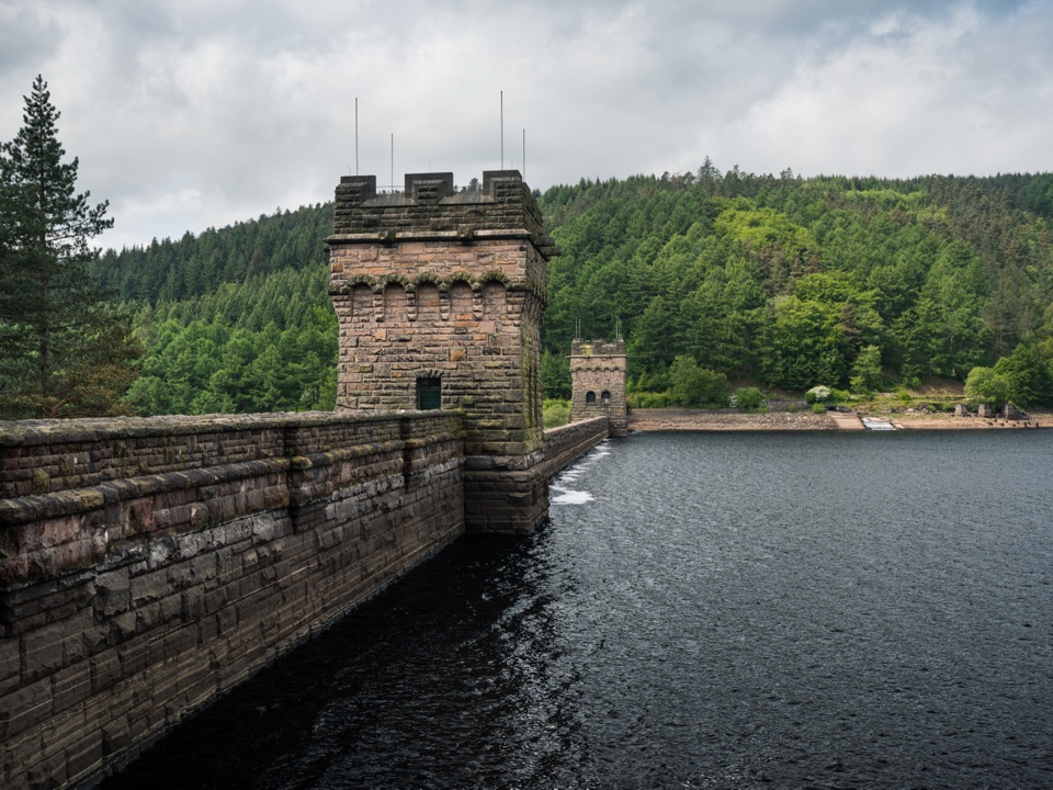 EasyDerwent Dam Red Route1.9 km · 36 min · 0.1 km awayA short loop to Peak District’s twin-towered dam
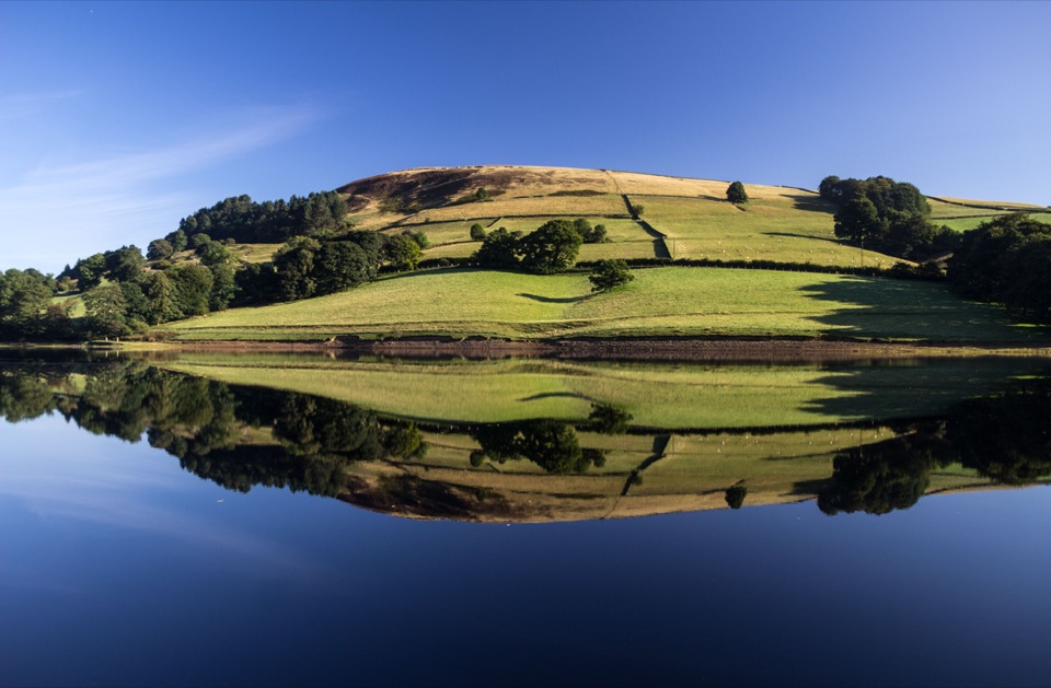 ChallengingLadybower Reservoir Circular27 km · 8.5 hr · 4.3 km awayA full-day reservoir circuit with viaducts, moorland and long views.
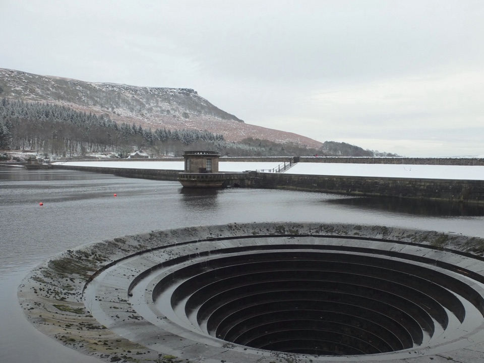 EasyLadybower Miles Without Stiles2 km · 45 min · 4.6 km awayA short surfaced route brings the dam and two plugholes into view.
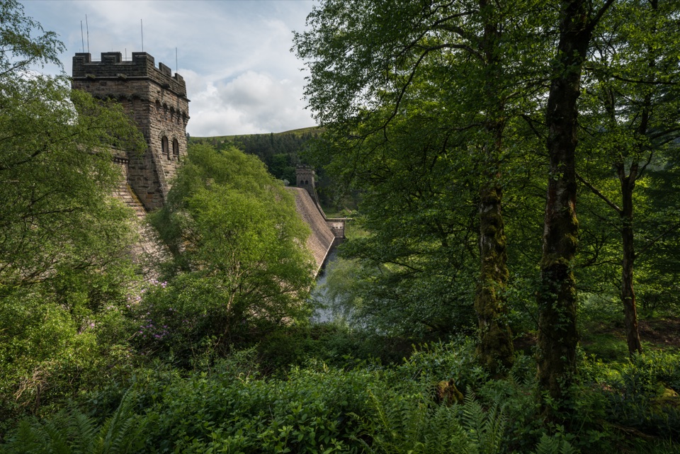 Sight · 0.5 km awayDerwent DamTwin stone towers guard a masonry wall in the Dambusters valley
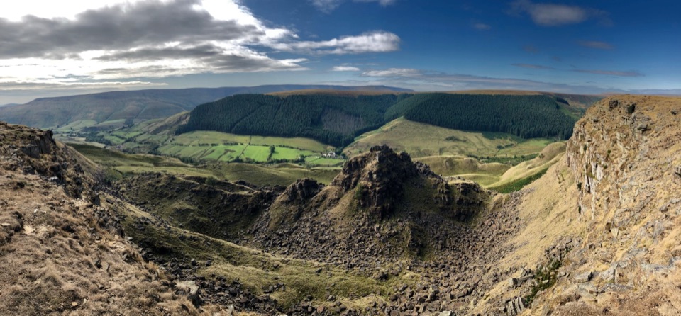 Sight · 3.7 km awayAlport CastlesHuge gritstone landslip and lonely moorland views above Alport Dale
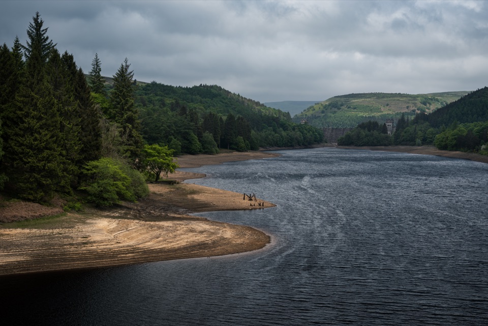 Sight · 4.2 km awayHowden ReservoirThe quiet uppermost reservoir, ending at a 1912 Grade II dam
 Sight · 4.5 km awayLadybower ReservoirY-shaped reservoir with waterside walks, dam views and easy short routes
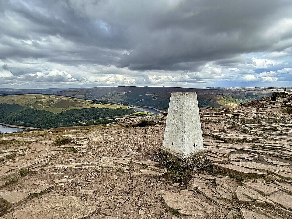 Sight · 4.5 km awayWin HillSteep, short climb to a rocky trig point above Ladybower
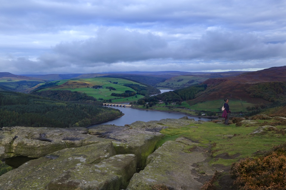 Sight · 5.7 km awayBamford EdgeGritstone slabs high above Ladybower Reservoir and the Hope Valley
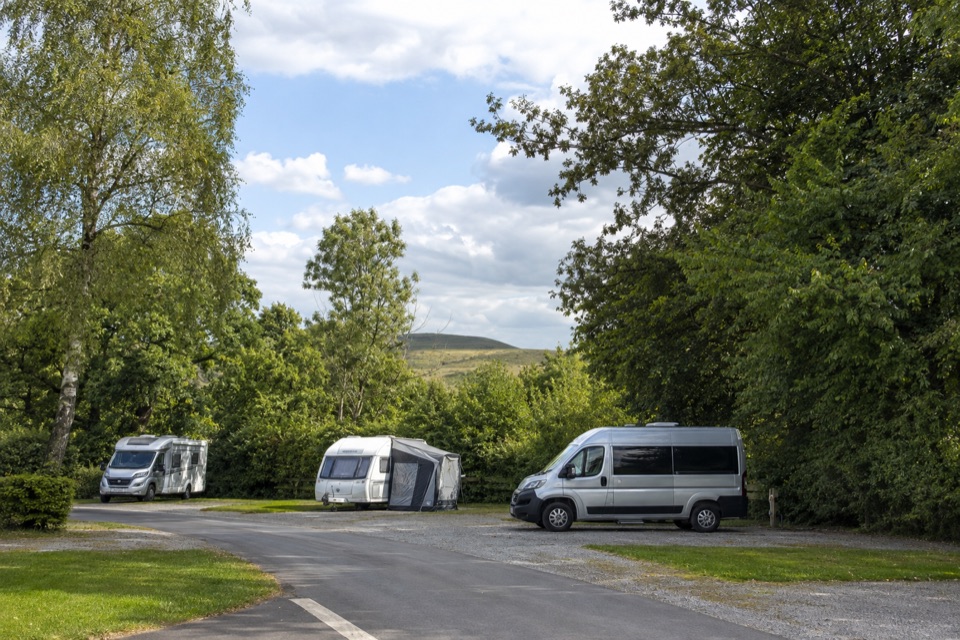 Campground · 6.1 km awayCastleton Caravan and Motorhome Club CampsiteHardstanding touring base in a bowl, half a mile from Castleton.
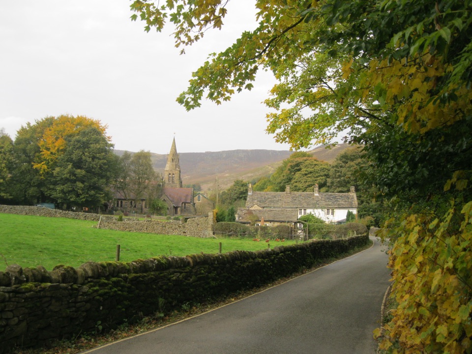 Sight · 6.1 km awayEdaleWhere the Pennine Way begins, beneath Kinder Scout's brooding moorland
Parkwolf’s Peak District ranking
 The Roaches and Lud’s Church Circular from Hen CloudModerate · 12.2 km
 Mam Tor Circular WalkModerate · 4.8 km
 Castleton, Mam Tor & the Great Ridge WalkModerate · 10.5 km
 Stanage Edge from HathersageModerate · 10.6 km
 Kinder Scout Circular via Jacob’s LadderChallenging · 12.1 km
 Padley Gorge and Burbage Brook WalkEasy · 3.7 km
The audio tour guide for the drive, plus offline maps, trails, and wildlife heatmaps for when the signal drops.