Parking
Use Kidds Bush Recreation Reserve campsite at the end of Meads Road, 6 km from SH6 at The Neck. The gravel road is narrow and steep in places; DOC says it is unsuitable for large campervans.
Queenstown-Lakes District, New Zealand, OT
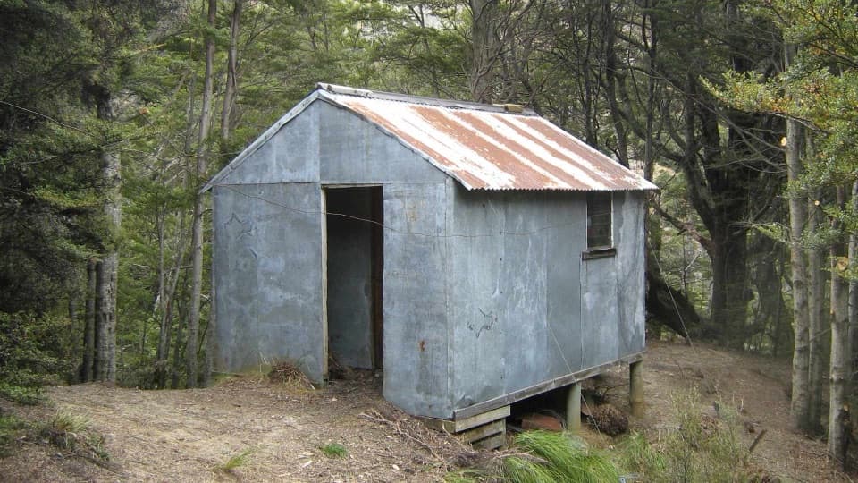
A steep Lake Hāwea climb to a shaded two-bunk hut.
Overview
Map & elevation
Plan your hike

The highest, rockiest slopes around here are a summer buffet for grizzly bears.
Queenstown-Lakes District Tour Guide
Parkwolf is a GPS audio tour guide for Queenstown-Lakes District, New Zealand. As you drive, it chimes in with what’s ahead: hidden gems, upcoming stops, history, geology, and wildlife, right through your car’s speakers.
See the Queenstown-Lakes District audio tourRecorded for this trailhead
Kidds Bush Reserve“You're coming up on Kidds Bush Reserve, a grassy campsite beside Lake Hāwea with mountain beech around it. For a short visit, I'd spend some time along the shore, then follow the Nature Walk loop into the beech forest.”
Plays as you drive up to this trailhead in the Parkwolf Queenstown-Lakes District Tour Guide.
More stories near here in the app
“Fantastic app with many points of information… It’s great to just turn on while you’re driving and it gives you an audio tour of the national Park. We love it!!!!”


Trail guide
Sawyer Burn Track is an 8 km (about 5 mi) out and back from Kidds Bush Reserve campsite to Sawyer Burn Hut. It climbs through beech forest to the bushline, then sidles mostly level across the slope to the hut. Allow about five hours. If you mainly want the Lake Hāwea and mountain views, the shorter walk turns around at the bushline at roughly 5 km return. The full track continues to the hut and into Sawyer Burn.
From the campsite, the track branches off Kidds Bush Nature Walk and climbs on steep zigzags through beech forest. As the trees thin, views open over Lake Hāwea and the surrounding mountains. The bushline viewpoint is a good turnaround if you want a shorter outing; it is not the hut.
Beyond the bushline, the route sidles mostly at the same level across the slope. The open grassy sections alternate with forest, and wet, boggy patches have been reported. Near the end, the track turns toward Sentinel Peak before dropping a short way to the hut, tucked into bush and shaded through the day. The basic hut belongs to Hunter Valley Station but is open to the public; it has two bunks and no toilet.
Treat this as an alpine walk, even in summer. Weather can change quickly, low cloud or snow can bring whiteout conditions, and hypothermia is a risk. Avalanche terrain crosses the track, usually from May into November. Bring warm, waterproof, windproof layers and suitable footwear. Dogs are not allowed on the Lake Hāwea side.
The trailhead is at Kidds Bush Recreation Reserve campsite, 6 km along Meads Road from SH6 at The Neck. Meads Road is gravel, narrow and steep in places; large campervans are not suitable.
Wildlife
 194 sightingsKeaMost seen around 5 PMSighting map
 18 sightingsKākāMost seen around 6 PMSighting map
 198 sightingsKererūMost seen around 10 AMSighting map
 53 sightingsWekaMost seen around 6 PMSighting map
 245 sightingsTūīMost seen around 8 AMSighting map
 98 sightingsBellbirdMost seen around 6 AMSighting map
Sighting maps show where each species has been reported across Queenstown-Lakes District. Wildlife moves, so no sighting is guaranteed.
Keep exploring
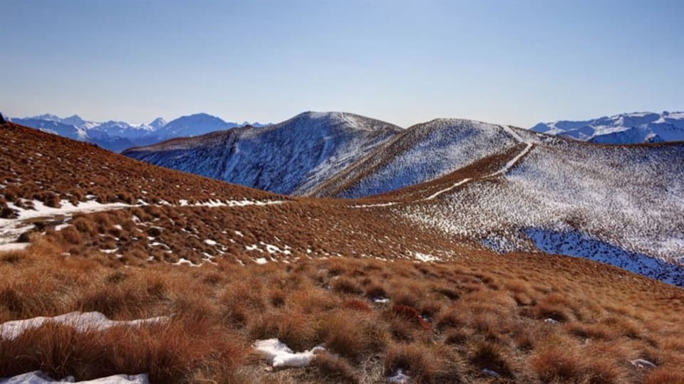 ChallengingGlen Dene Ridge Track29.9 km · 12 hr · 2.9 km awayOpen ridge walking with two lake views and a serious climb.
 ChallengingIsthmus Peak Track16 km · 5.5 hr · 3 km awayA steep summit climb above both lakes and the Southern Alps.
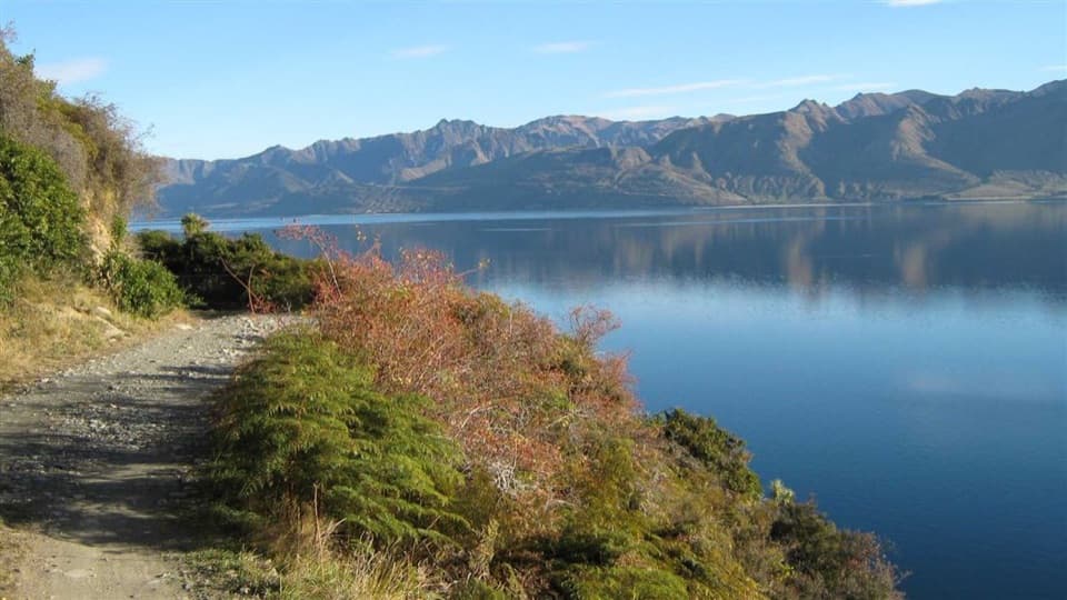 ChallengingDingle Burn Track49 km · 23 hr · 6.8 km awayA remote hut traverse with river fords and a high saddle.
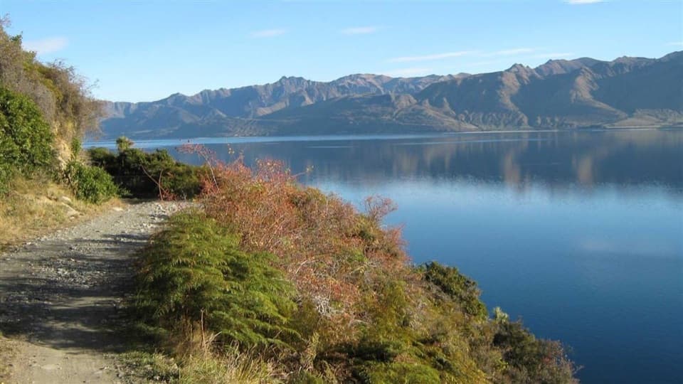 ModerateDingle Burn Peninsula Track11 km · 3.5 hr · 7.6 km awayWalk Lake Hāwea’s eastern shore to Turihuka.
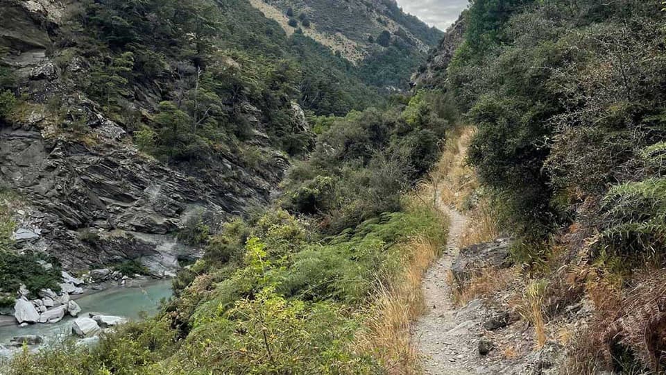 ChallengingTimaru River Track44 km · 16 hr · 11.6 km awayRemote 44 km crossing through gorges and over Mt Martha Saddle.
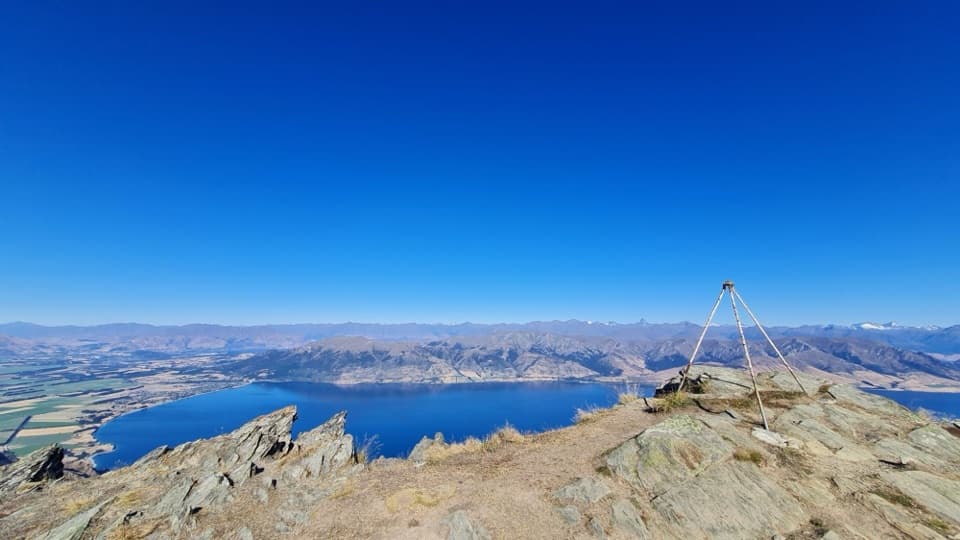 ChallengingBreast Hill Track17.4 km · 8.8 hr · 16.7 km awayAn exposed full-day traverse with a Lake Hāwea summit view.
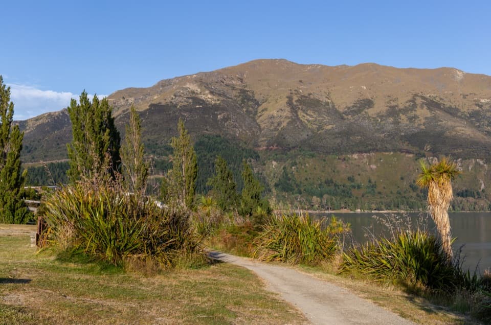 EasyGladstone Track6.9 km · 1.8 hr · 18.7 km awayWalk Lake Hāwea’s shoreline from the dam to Johns Creek.
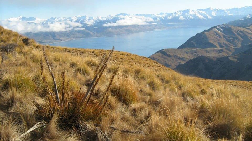 ChallengingGrandview Mountain Track18 km · 5 hr · 20.1 km awayA hard climb opens sweeping views over Lake Hāwea and Wānaka.
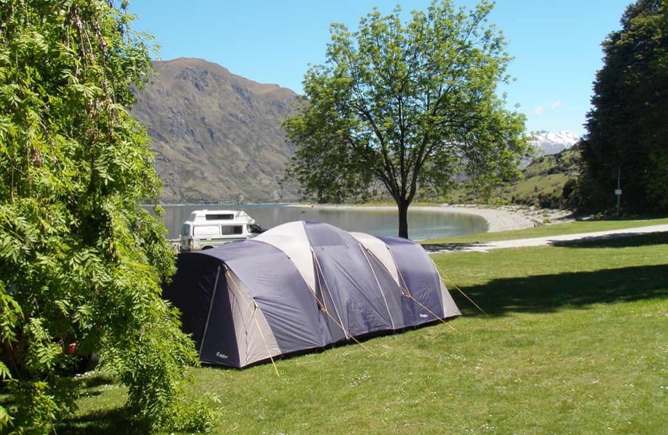 Campground · At the trailheadKidds Bush Reserve CampsiteGrassy lakeside camping with a beech-forest loop from camp.
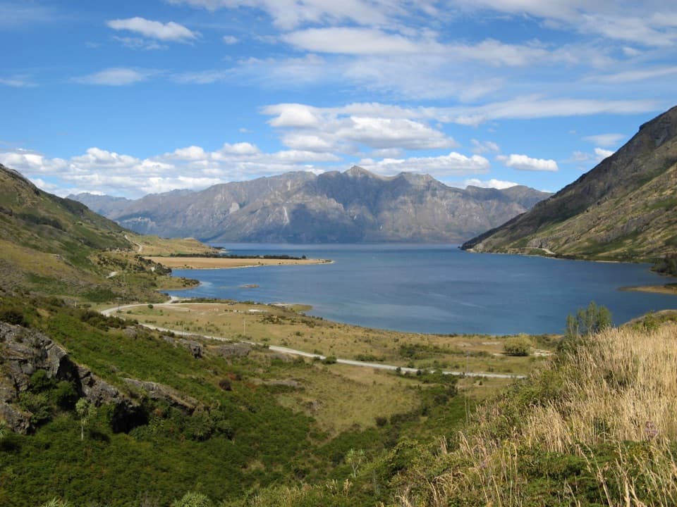 Scenic pullout · 5.3 km awayLake Hāwea Lookout at The NeckA quick pause for Lake Hāwea beneath steep mountain walls.
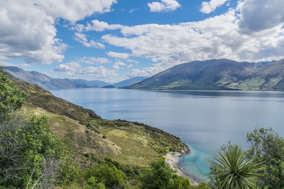 Scenic pullout · 6.4 km awayLake Wānaka Lookout at The NeckA quick pull-in for Lake Wānaka and its mountain backdrop.
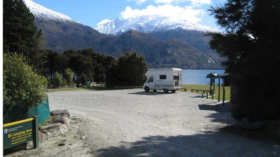 Campground · 12.4 km awayBoundary Creek CampsiteA simple lakeside stop on the road to Haast Pass.
Parkwolf’s Queenstown-Lakes District ranking

The audio tour guide for the drive, plus offline maps, trails, and wildlife heatmaps for when the signal drops.




