Parking
Use the Greenstone Road end car park (86 km from Queenstown via Glenorchy). From there the Caples Track takes 9 km and 2–3 hours to Mid Caples Hut, then about two hours farther to the Kay Creek junction; the junction has no road access.
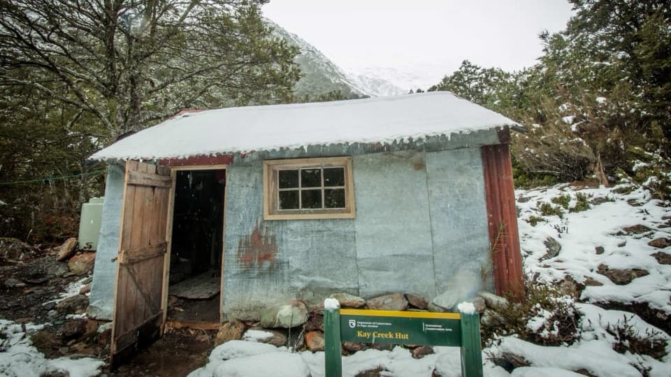
Queenstown-Lakes District, New Zealand, OT
A remote four-bunk hut reached by an advanced track.
Photo: Kay Creek Hut — Emelie Eriksson, CC BY 2.0, via New Zealand Department of Conservation
Overview
Map & elevation
Plan your hike

The highest, rockiest slopes around here are a summer buffet for grizzly bears.
Queenstown-Lakes District Tour Guide
Parkwolf is a GPS audio tour guide for Queenstown-Lakes District, New Zealand. As you drive, it chimes in with what’s ahead: hidden gems, upcoming stops, history, geology, and wildlife, right through your car’s speakers.
See the Queenstown-Lakes District audio tour“Fantastic app with many points of information… It’s great to just turn on while you’re driving and it gives you an audio tour of the national Park. We love it!!!!”


Trail guide
Kay Creek Track is a 6.2 km one-way route from a junction on the Caples Track between Mid Caples and McKellar huts to basic four-bunk Kay Creek Hut. The mapped line ends about 400 m higher than it starts. DOC grades it as advanced. Allow roughly five hours to the hut as a cautious planning estimate; DOC publishes no time for this spur. If you retrace the same track, that makes 12.4 km and about ten hours on this spur alone.
This isn't a roadside walk. From the Greenstone Road end car park, the Caples Track takes 9 km and 2–3 hours to Mid Caples Hut, then about two hours farther to the Kay Creek junction. The road end is 86 km from Queenstown via Glenorchy. That approach is outside Kay Creek Track's 6.2 km, so plan the visit as part of a multi-day tramp.
Kay Creek Hut is a basic four-bunk backcountry hut. Pack for a self-sufficient trip and check DOC's current hut and track notices before leaving. The route starts several hours from the road and suits trampers comfortable with a remote, advanced track.
Wildlife
 194 sightingsKeaMost seen around 5 PMSighting map
 18 sightingsKākāMost seen around 6 PMSighting map
 198 sightingsKererūMost seen around 10 AMSighting map
 53 sightingsWekaMost seen around 6 PMSighting map
 245 sightingsTūīMost seen around 8 AMSighting map
 98 sightingsBellbirdMost seen around 6 AMSighting map
Sighting maps show where each species has been reported across Queenstown-Lakes District. Wildlife moves, so no sighting is guaranteed.
Keep exploring
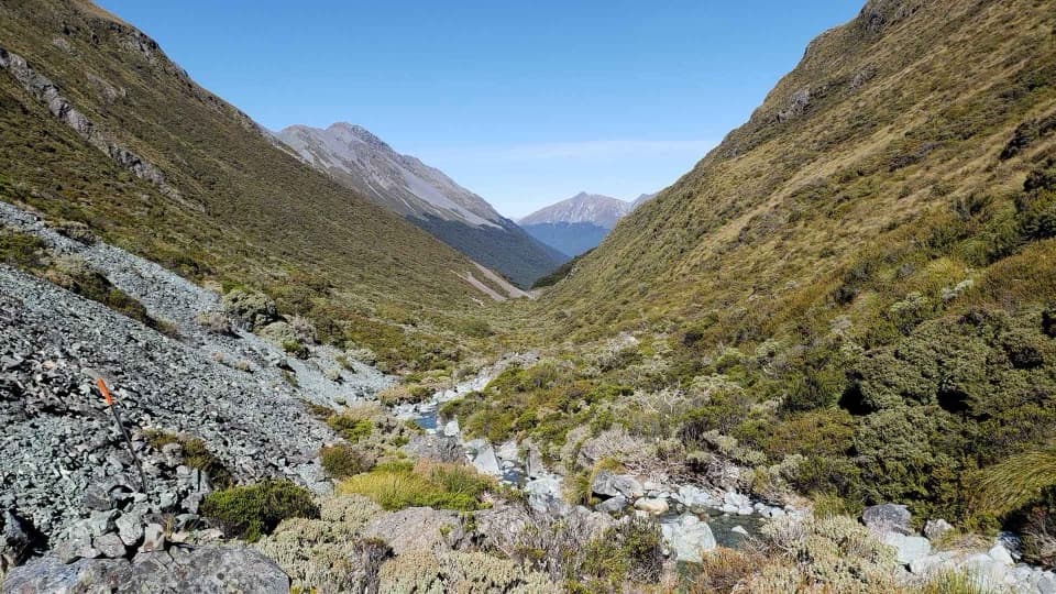 ChallengingSteele Creek Track19.2 km · 11 hr · 0.6 km awayA steep, sparsely marked creek route for experienced trampers.
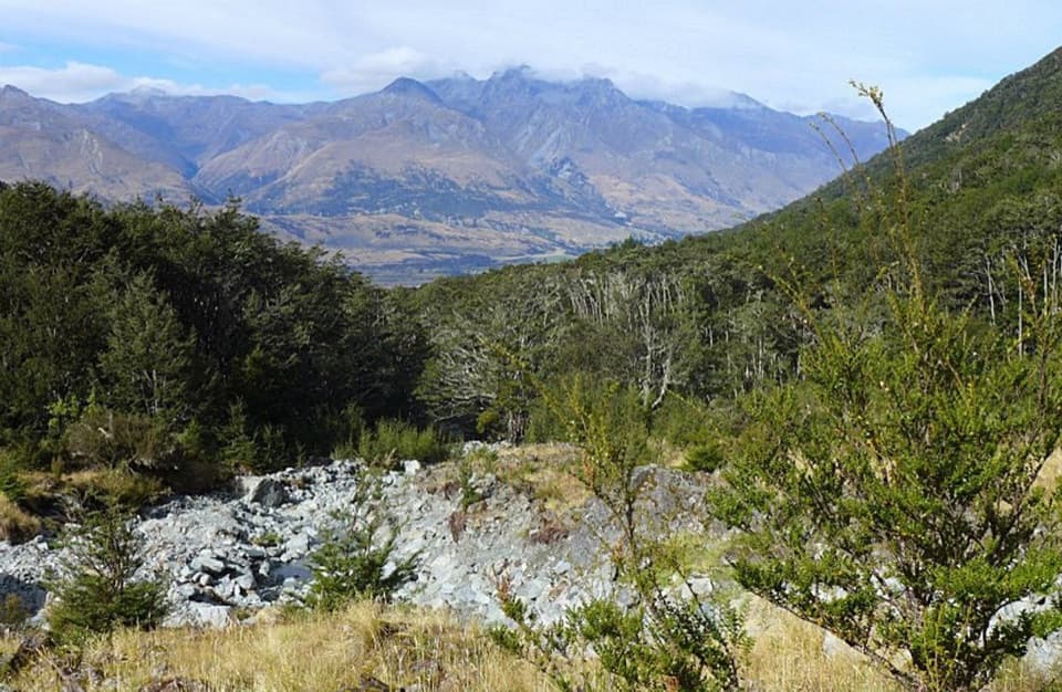 ModerateGlacier Burn Track7.3 km · 4 hr · 10.5 km awayA steep forest climb to Glacier Basin and Humboldt views.
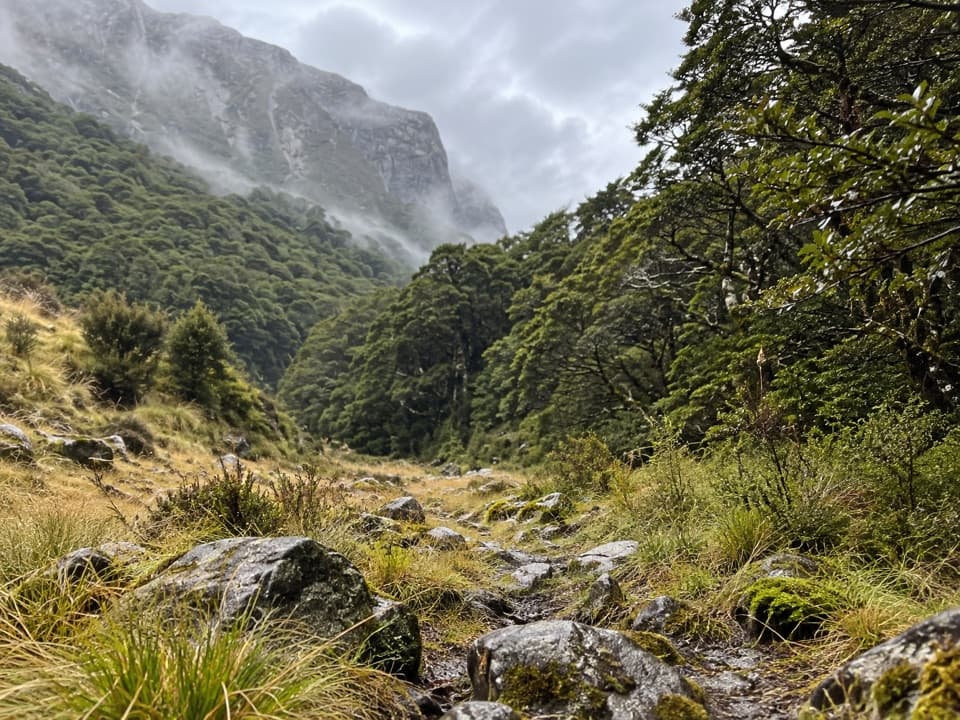 ChallengingScott Creek Track7.3 km · 6 hr · 11.8 km awayA steep, rough climb toward remote Scott Basin.
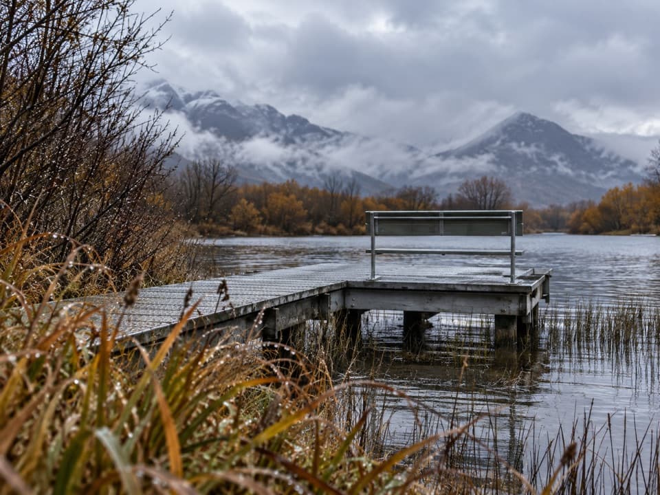 EasyGlenorchy Walkway4.4 km · 1.5 hr · 13 km awayAn easy wetland loop with boardwalk crossings and mountain views.
 EasyRouteburn Nature Walk3.1 km · 50 min · 14.3 km awayA short beech-forest loop with a Route Burn swingbridge.
 ChallengingRouteburn Track33.1 km · 13.5 hr · 14.3 km awayA 20 mile traverse from beech forest to exposed alpine country.
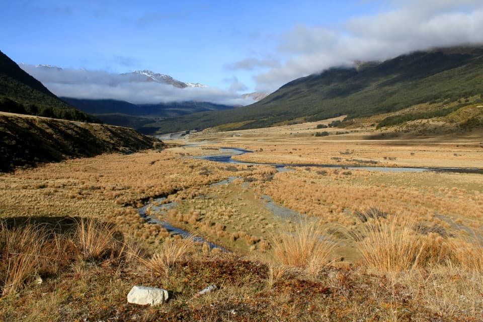 ChallengingGreenstone–Caples Circuit61 km · 18.5 hr · 14.4 km awayA four-day loop through wild valleys over the exposed McKellar Saddle.
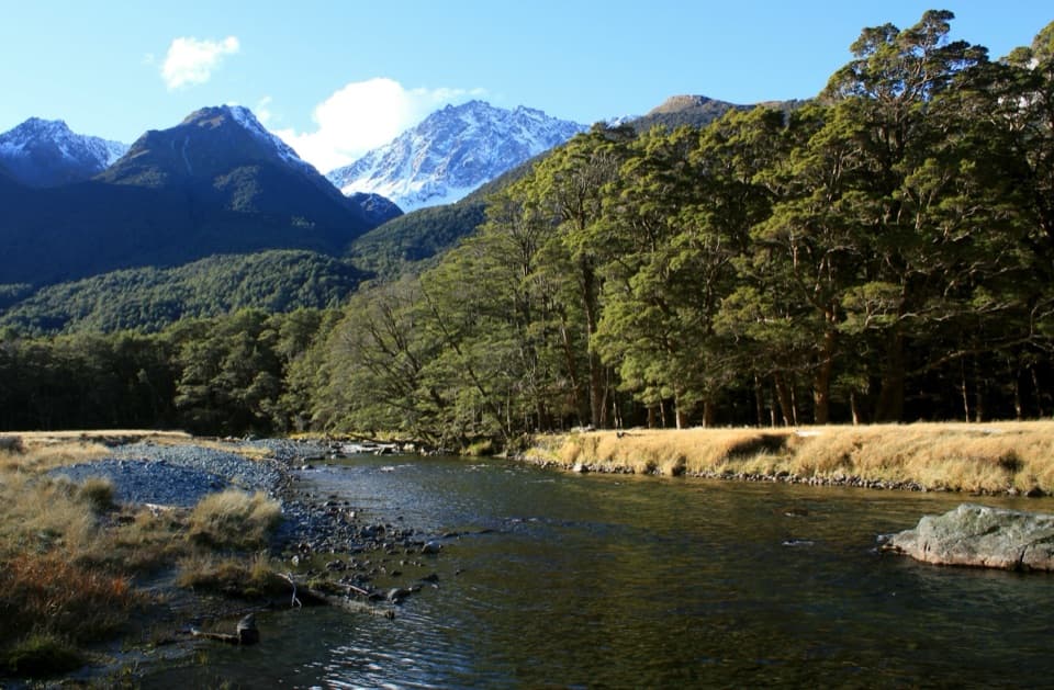 ChallengingCaples Track31 km · 9 hr · 14.4 km awayA 31 km one-way valley tramp over McKellar Saddle to Lake Howden.
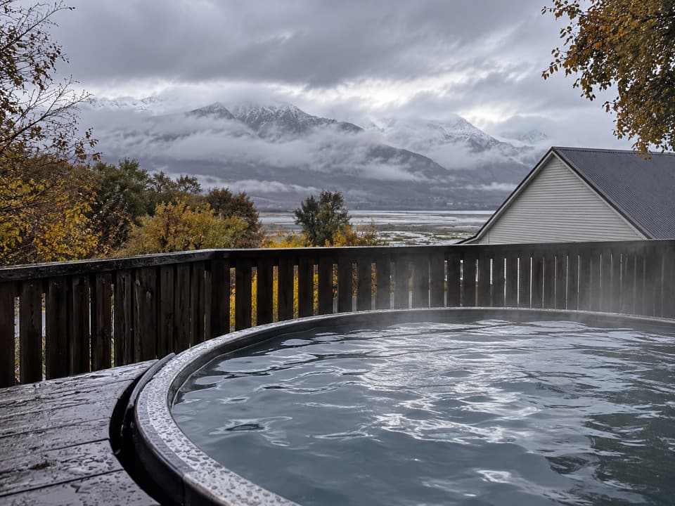 Lodging · 10.3 km awayKinloch Wilderness RetreatA remote lakehead lodge for meals, nights and dark skies.
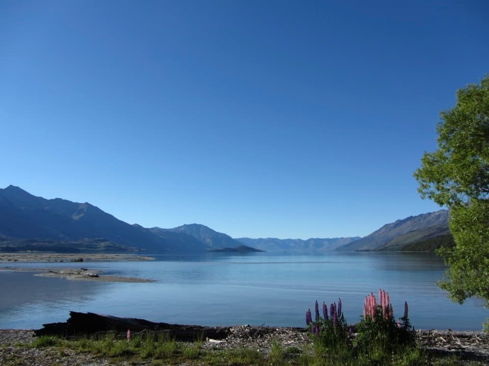 Campground · 10.3 km awayKinloch CampsiteRemote lakeside camping, with a gravel approach that can flood.
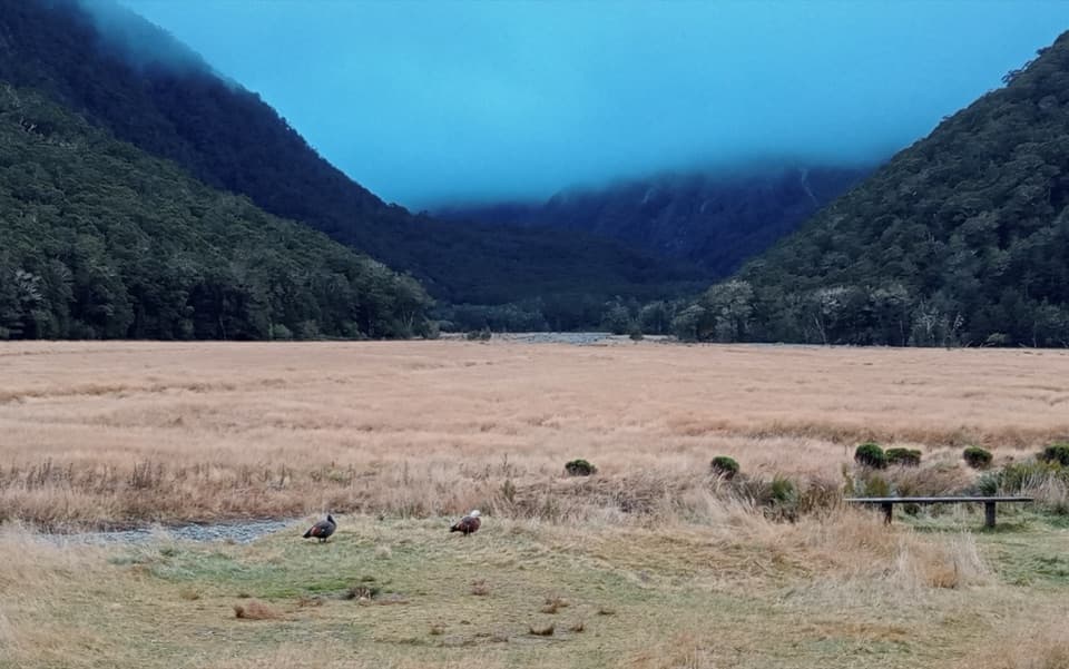 Campground · 12.9 km awayRouteburn Flats CampsiteA walk-in campsite on the Routeburn Track’s open grassy flats.
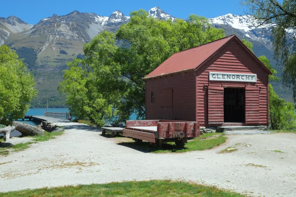 Sight · 12.9 km awayGlenorchy Wharf and Red ShedThe red shed once sorted freight brought in by lake steamers.
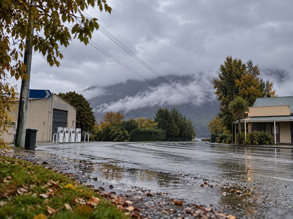 Gas station · 13.1 km awayGlenorchy Motors PetrolA practical refuel before exploring the remote valleys beyond town.
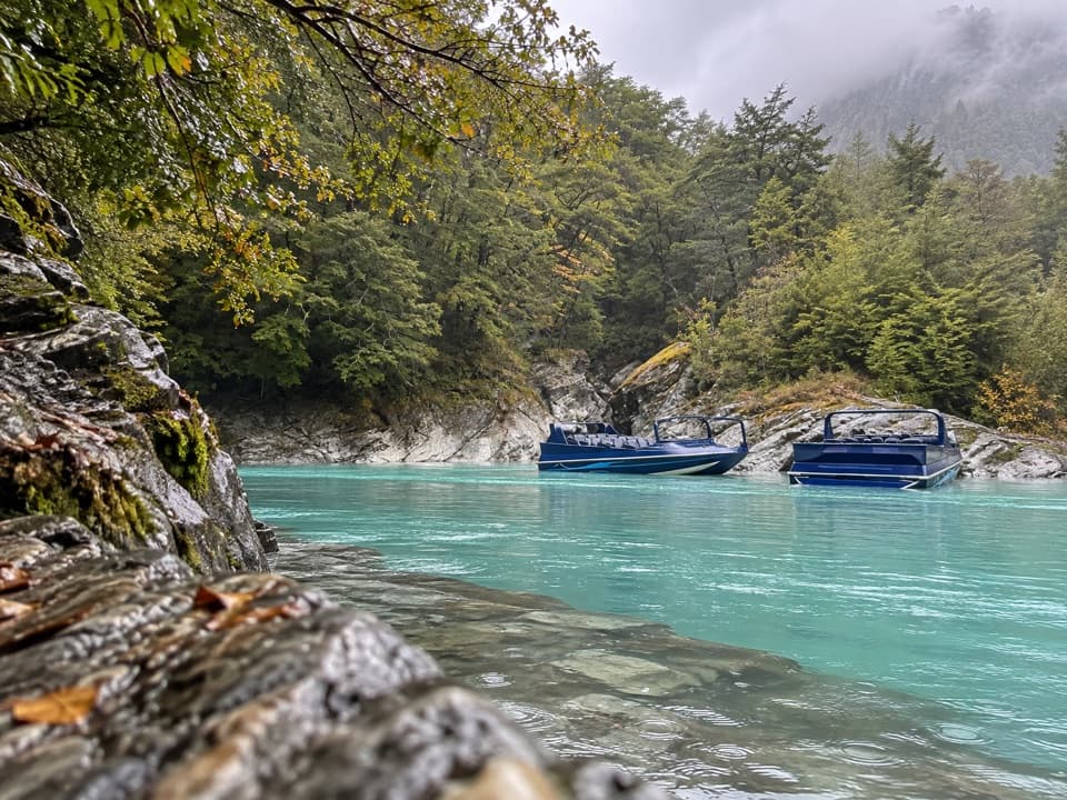 Sight · 13.2 km awayDart River AdventuresJet-boat to the Dart’s braided channels, then paddle downstream.
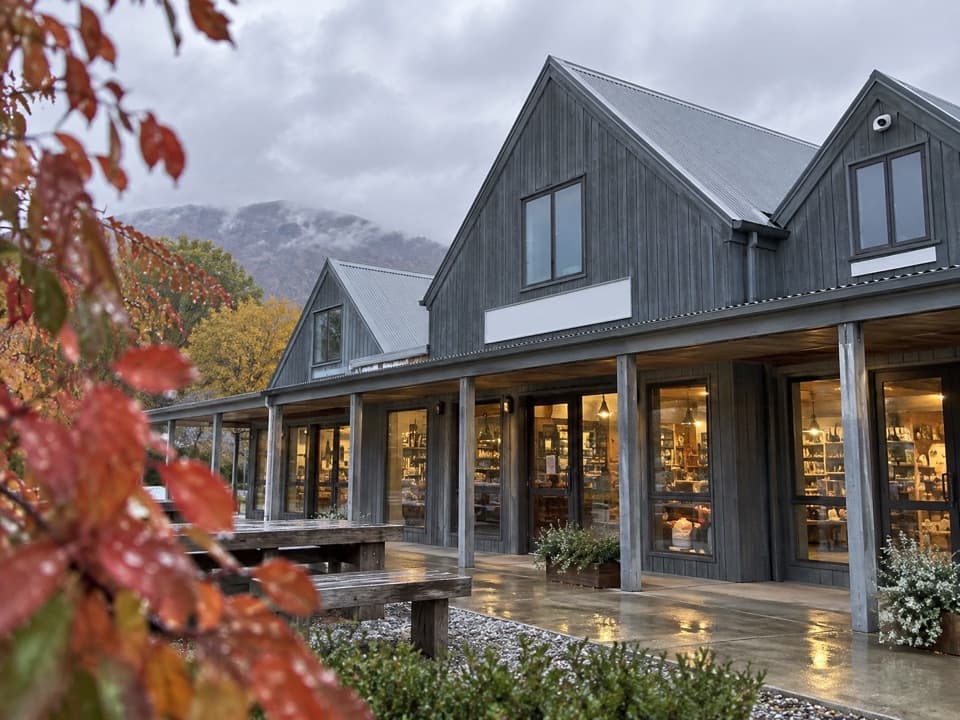 Store · 13.4 km awayMrs Woolly’s General StoreHomemade pies and local gifts make this a handy Glenorchy stop.
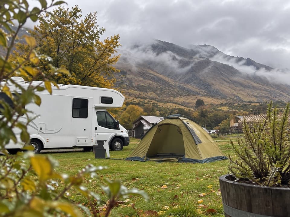 Campground · 13.5 km awayMrs Woolly’s CampgroundMountain-backed camping close to Glenorchy’s lakefront and lagoon.
Parkwolf’s Queenstown-Lakes District ranking

The audio tour guide for the drive, plus offline maps, trails, and wildlife heatmaps for when the signal drops.




