
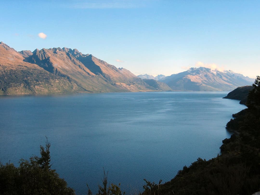
All Queenstown-Lakes District trails
155 trails
 1Routeburn TrackA 20 mile traverse from beech forest to exposed alpine country.
 2Roys Peak TrackHard climbing earns Lake Wānaka and the Southern Alps in one sweep.
 3Ben Lomond TrackA long climb from town ends above Lake Whakatipu and Queenstown.
 4Rob Roy TrackA river bridge, beech forest, and a hanging glacier.
 5Isthmus Peak TrackA steep summit climb above both lakes and the Southern Alps.
 6Routeburn Falls TrackA long mountain day to Routeburn Falls, where the valley opens.
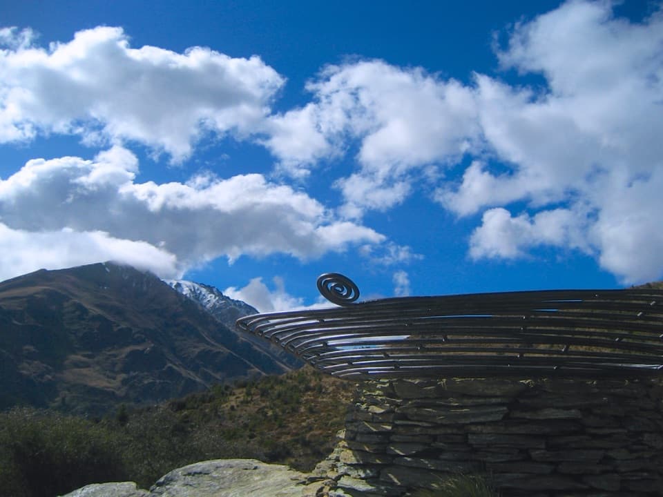 7Queenstown Hill Time WalkSteep pine climb to the Basket of Dreams and lake panoramas.
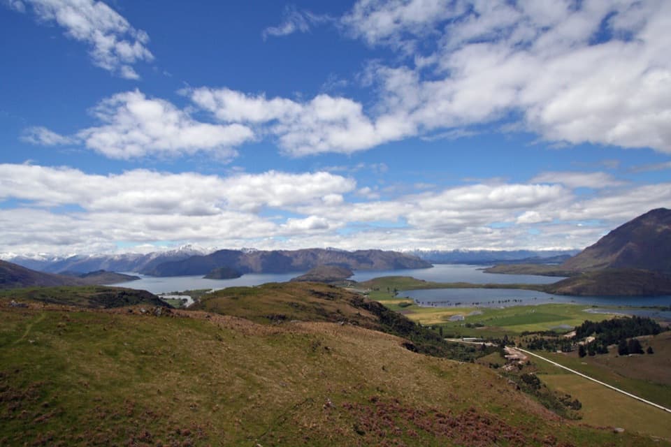 8Rocky Mountain Summit TrackA compact summit loop, with lake views and a narrow exposed traverse.
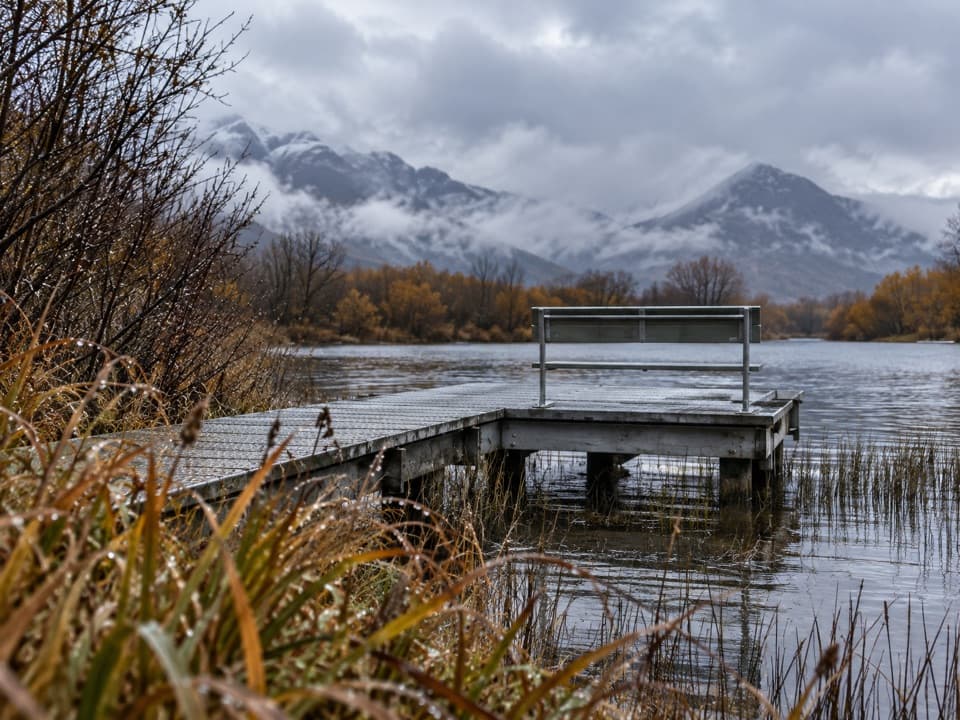 9Glenorchy WalkwayAn easy wetland loop with boardwalk crossings and mountain views.
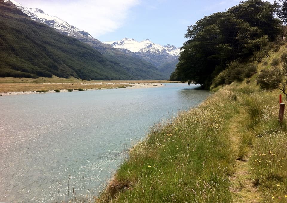 10Rees-Dart TrackCross an alpine saddle between the Rees and Dart valleys
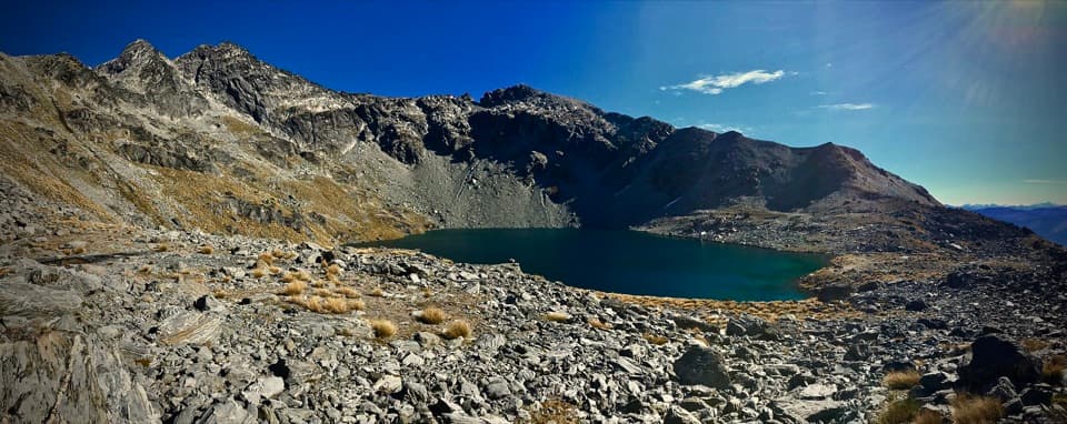 11Lake Alta TrackA short alpine climb to a lake tucked beneath jagged peaks.
 12Earnslaw Burn TrackA hard 10.3-mile return to an icefall beneath Pikirakatahi.
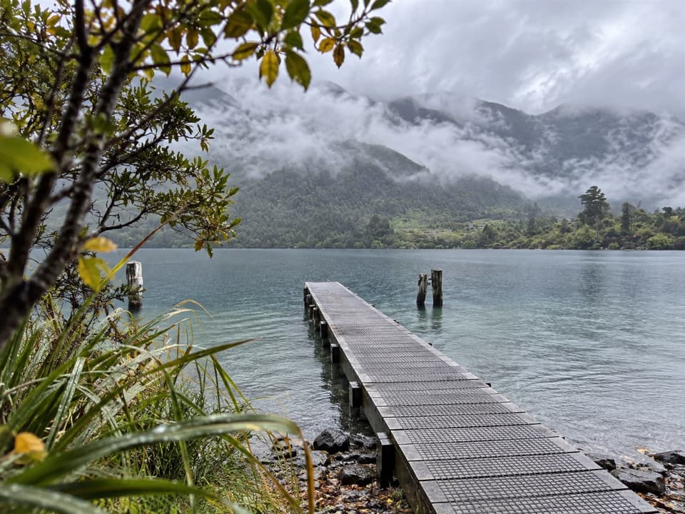 13Bob's Cove TrackShort bush walk, clear water, lake views, and a historic lime kiln.
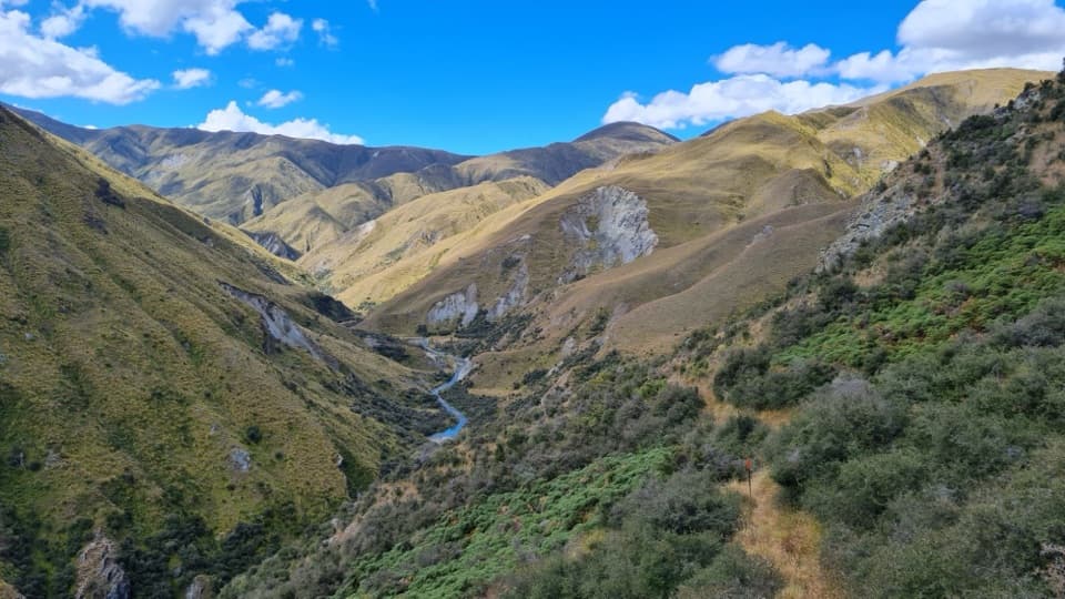 14Motatapu TrackA 49 km crossing through tussock, beech forest and gold country.
 15Blue Pools TrackTwo swing bridges, clear water and a short walk through beech forest.
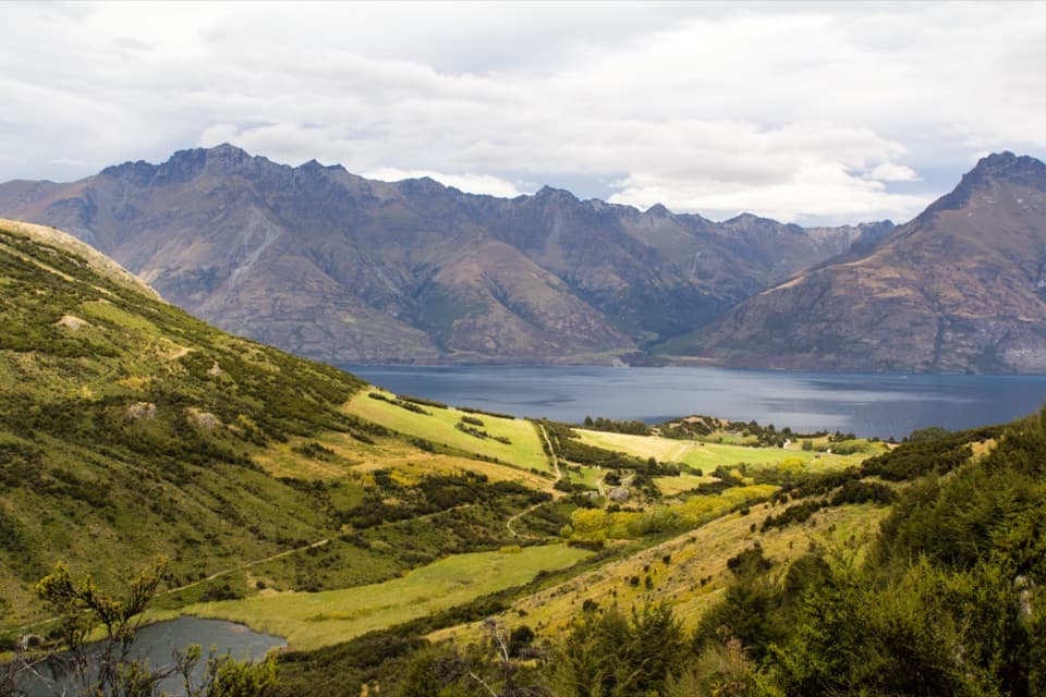 16Mt Crichton Loop TrackA hut, waterfall and gold miners’ tail-race fissure in the forest.
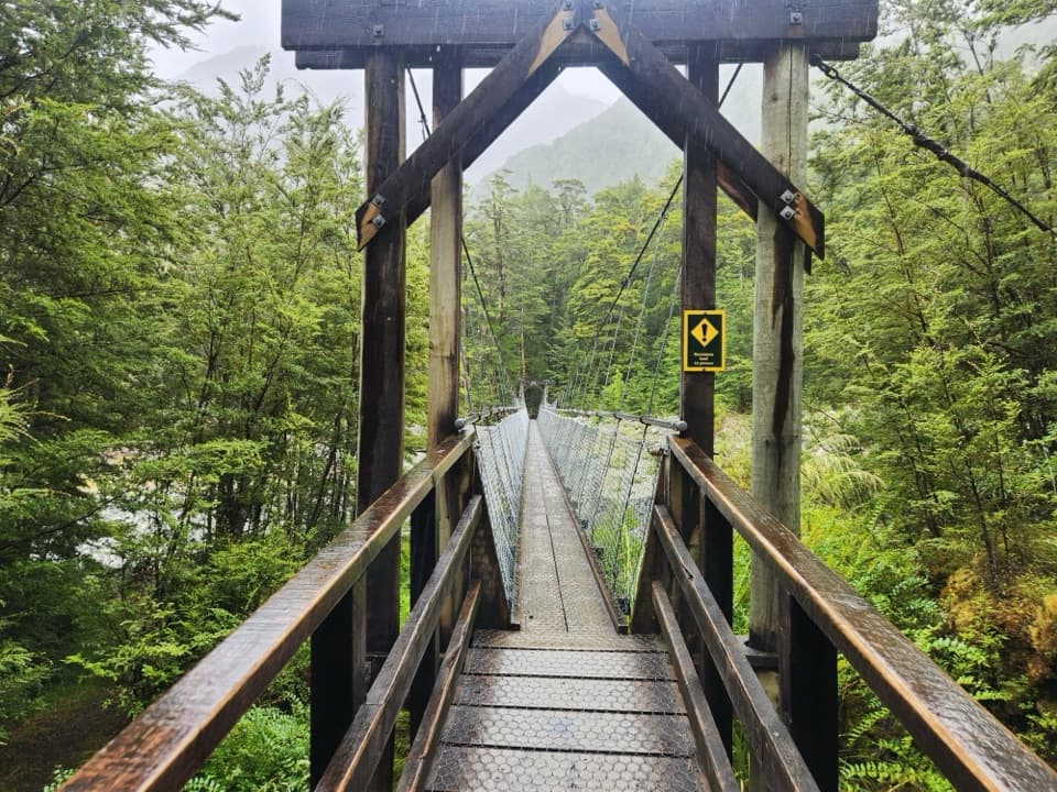 17Routeburn Flats TrackFollow the Route Burn through beech forest to the grassy flats.
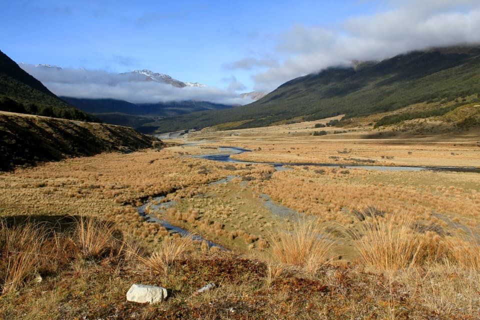 18Greenstone–Caples CircuitA four-day loop through wild valleys over the exposed McKellar Saddle.
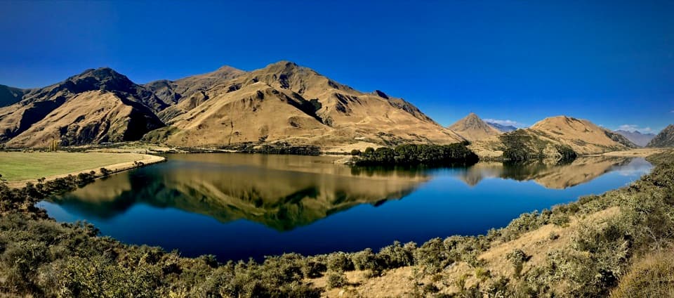 19Moke Lake Loop TrackA lake circuit with a lookout and a short wetland boardwalk.
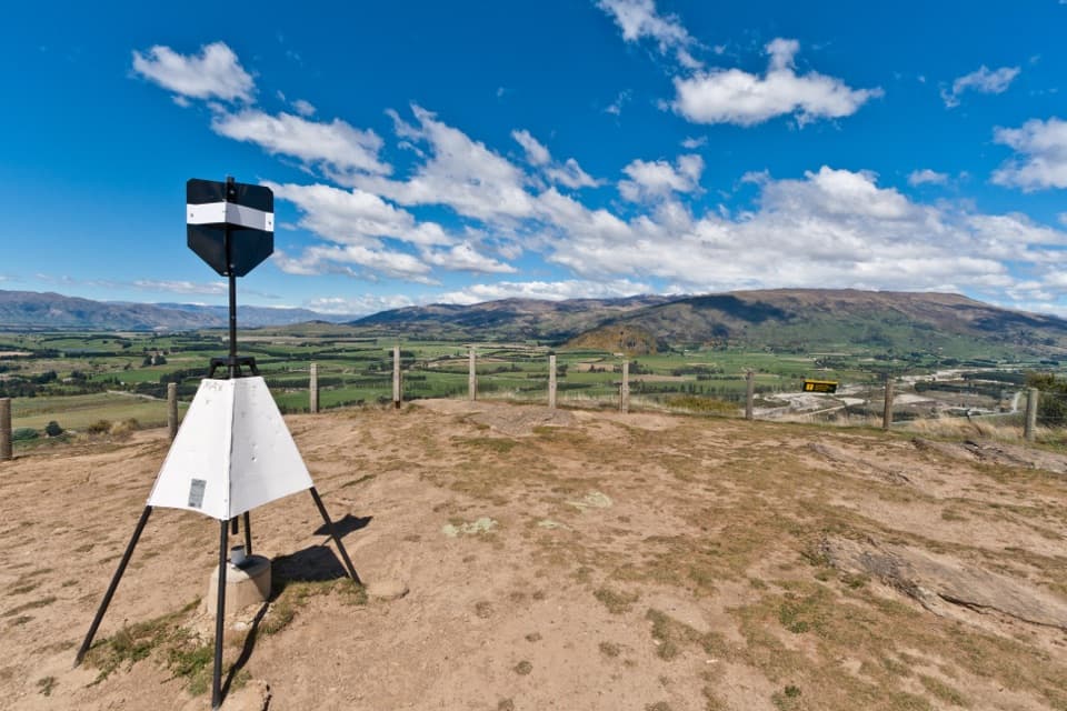 20Mount Iron TrackA short, steep loop with big Wānaka basin views
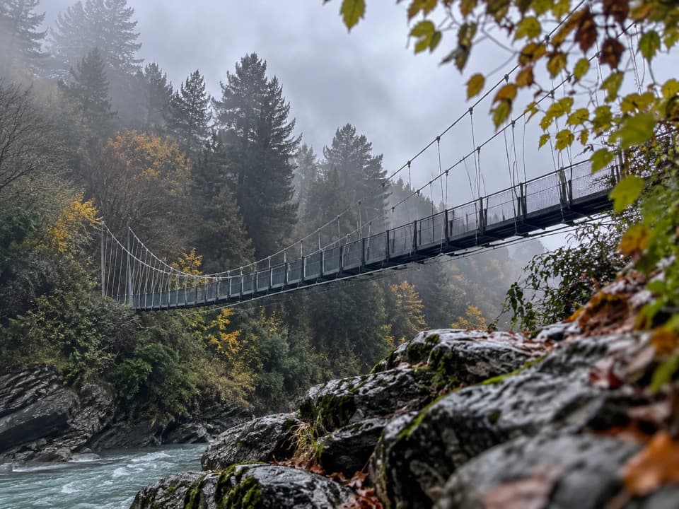 21Shotover Gorge TrailA four-mile gorge trail through a historic tunnel to a suspension bridge.
 22Harris Saddle TrackA full-day 25.5 km climb to Harris Saddle above Lake Harris.
 23Crucible Lake TrackA remote lake beneath Mount Alba, reached across three alpine streams.
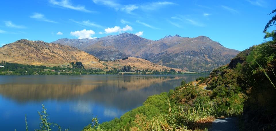 24Waiwhakaata Lake Hayes TrailEight-kilometre lake loop with a steep west shore and mountain views.
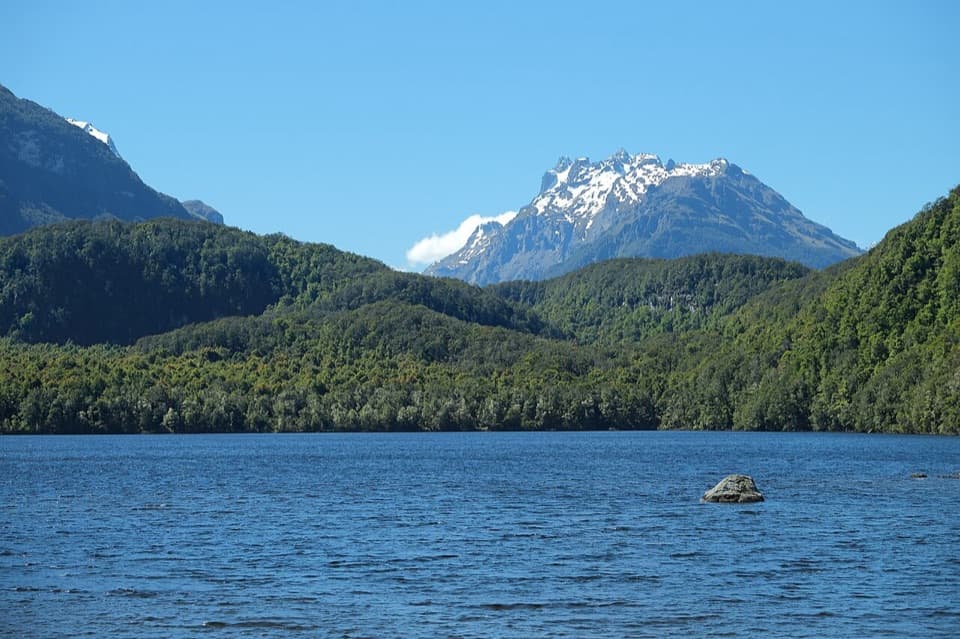 25Lake Sylvan TrackA red-beech lake walk with a return along a 1920s tramline.
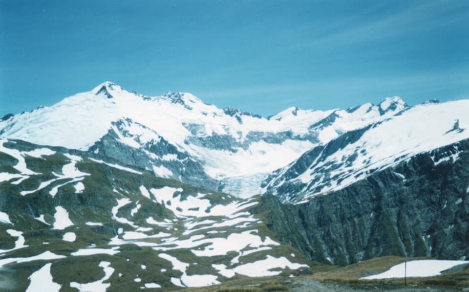 26Cascade Saddle RouteA high, exposed alpine traverse from Aspiring Hut into the Dart Valley.
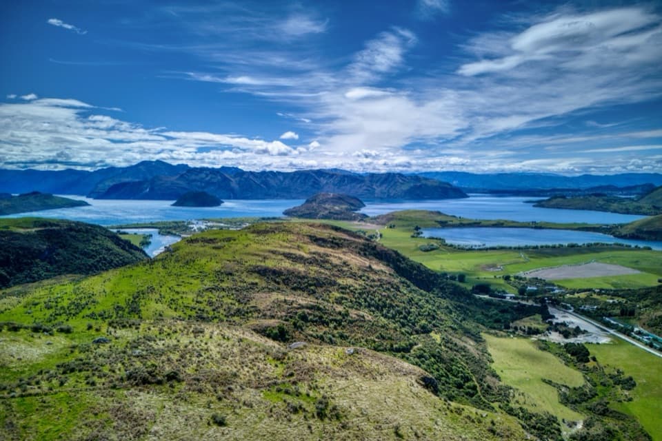 27Lake Wānaka Lookout TrackTwo lake lookouts make a steep climb worth the effort.
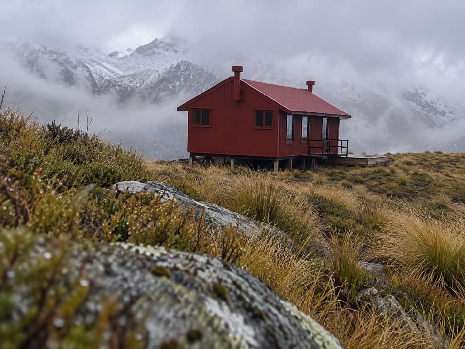 28Brewster TrackFord the Haast, climb the ridge, and reach a high alpine hut.
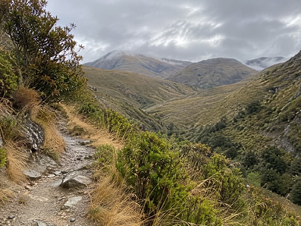 29Sawpit Gully TrailGold-mining traces and basin views on a varied hillside loop.
 30West Matukituki TrackMake the hut your turnaround or carry on into the alpine valley.
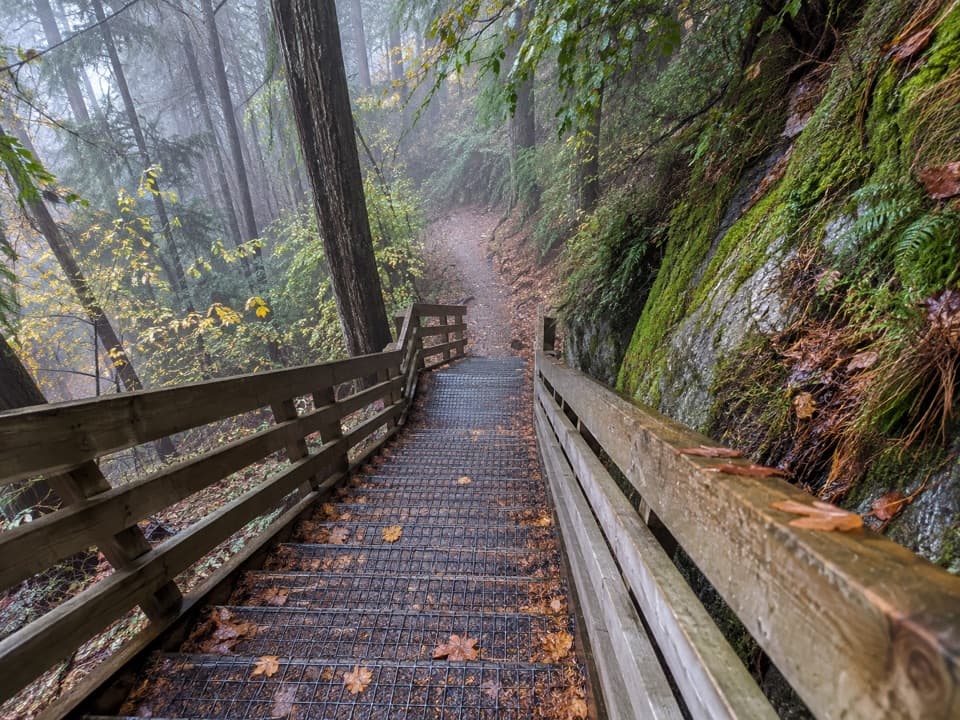 31Tiki TrailA steep, shaded climb to Queenstown's famous Skyline view.
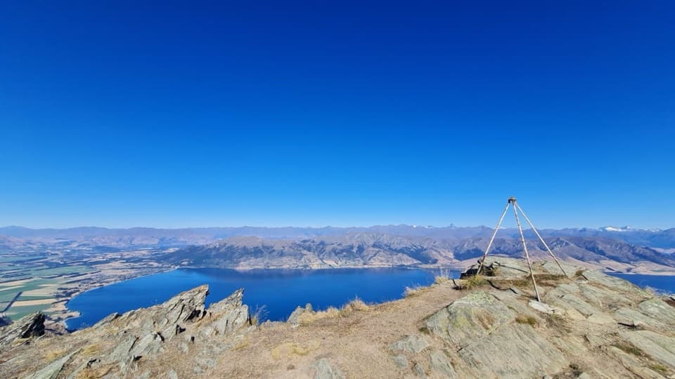 32Breast Hill TrackAn exposed full-day traverse with a Lake Hāwea summit view.33Skyline TrackA full-day ridge traverse from Roys Peak to Cardrona Road.
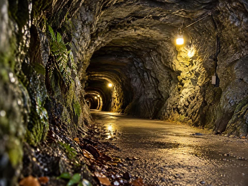 34Hugo Tunnel LoopA 108-metre historic tunnel anchors this gorge-side circuit.35Greenstone TrackRiver flats, two huts and a finish at Lake Howden.
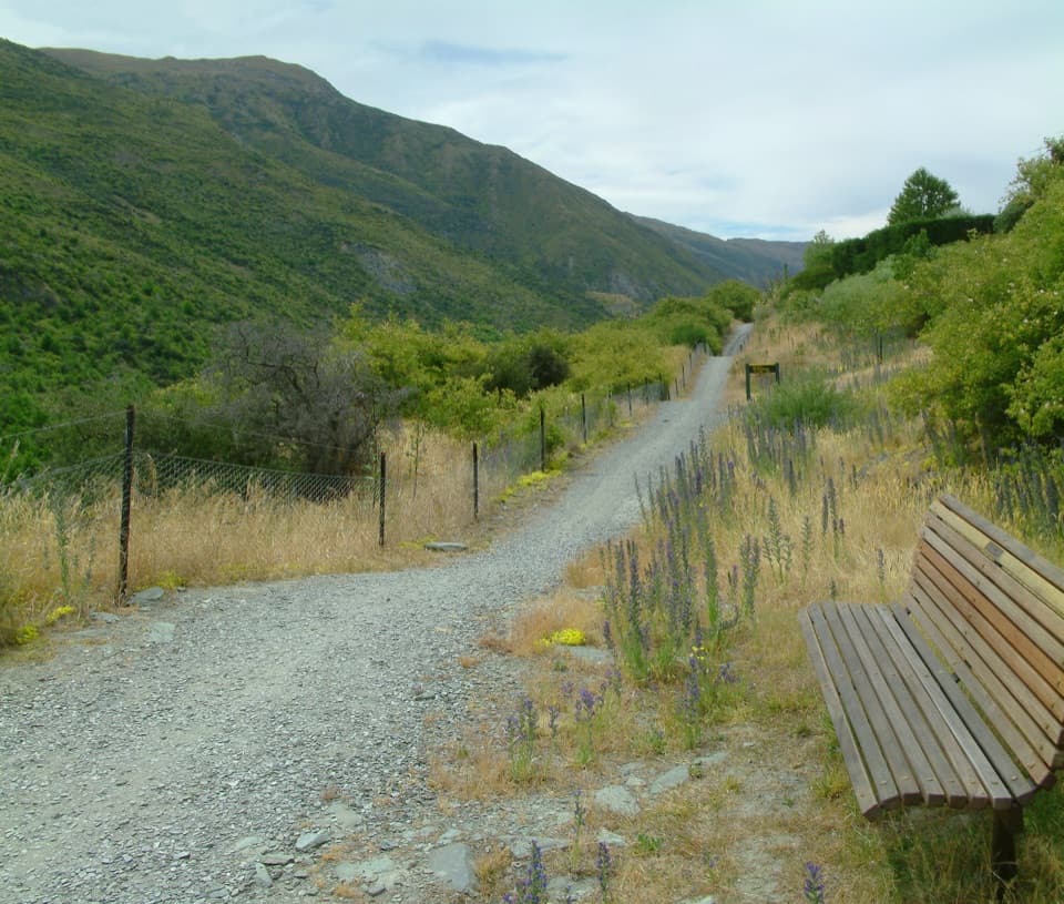 36Gibbston River TrailVineyard rows and river lookouts above the Kawarau.
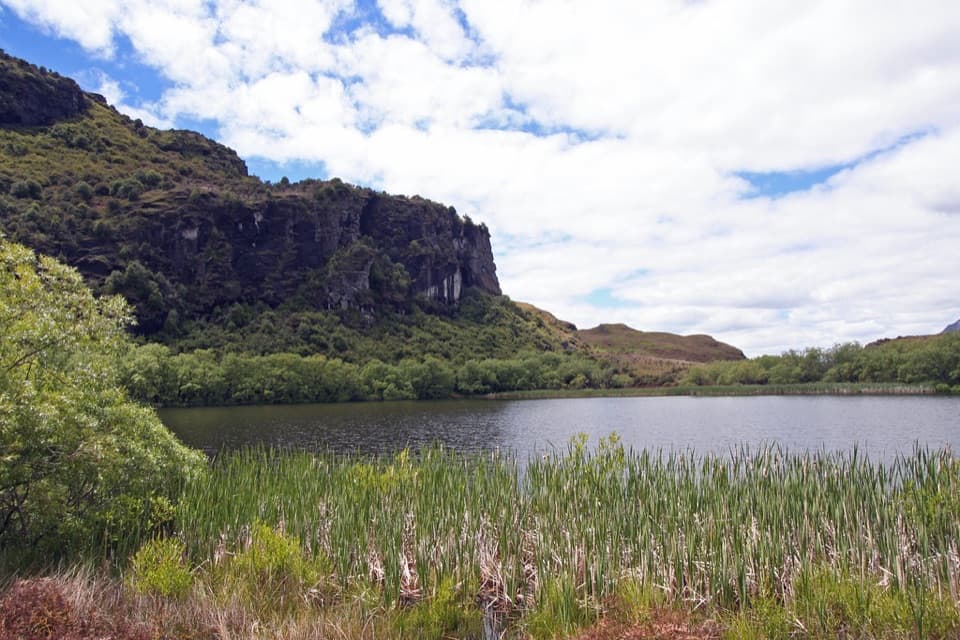 37Diamond Lake Loop TrackA quick shady loop around a lake beneath rocky bluffs.
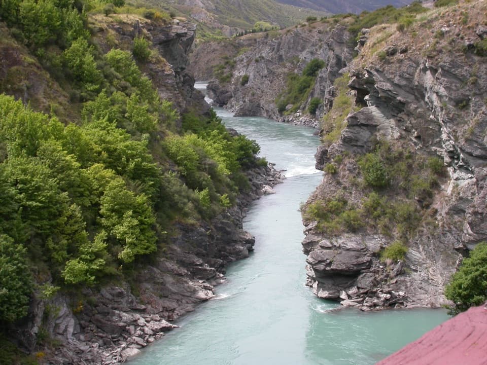 38Arrow River Bridges TrailFive river bridges lead to an 1880 gorge landmark.
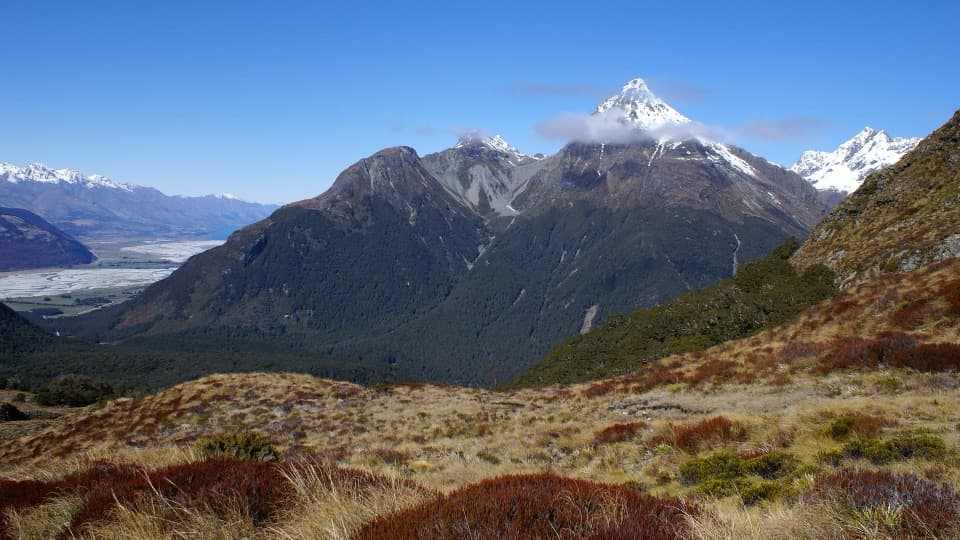 39Sugarloaf and Rockburn TracksCross Sugarloaf Pass for a full day between forest and alpine valleys.
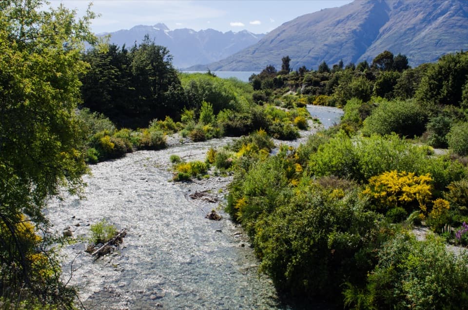 40Bobs Cove Track to Twelve Mile DeltaA lakeside walk with a historic kiln and an Ithilien film site.
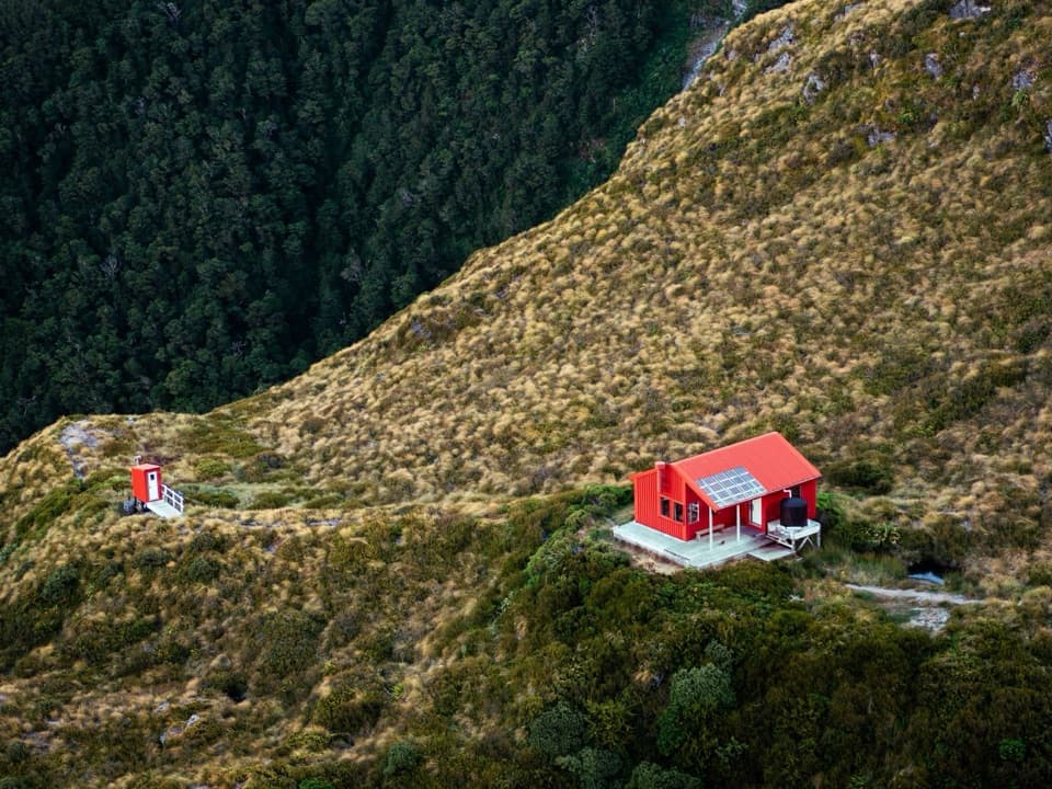 41Liverpool TrackA long valley approach ends in an exposed climb to Liverpool Hut.
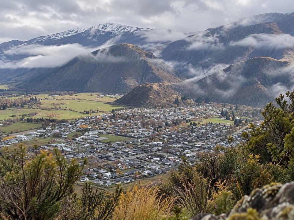 42Tobins TrackWork uphill for Arrowtown and the basin spread out below.
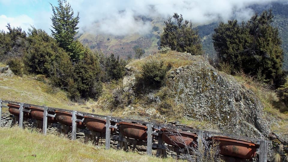 43Invincible Mine TrackMine machinery and a Rees Valley view reward the steady climb.
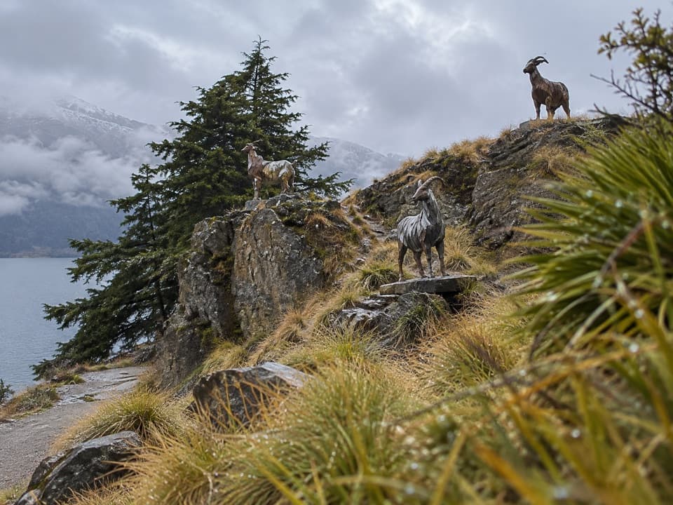 44Kelvin Peninsula Sculpture TrailA gentle peninsula loop linking four sculptures and lake views.
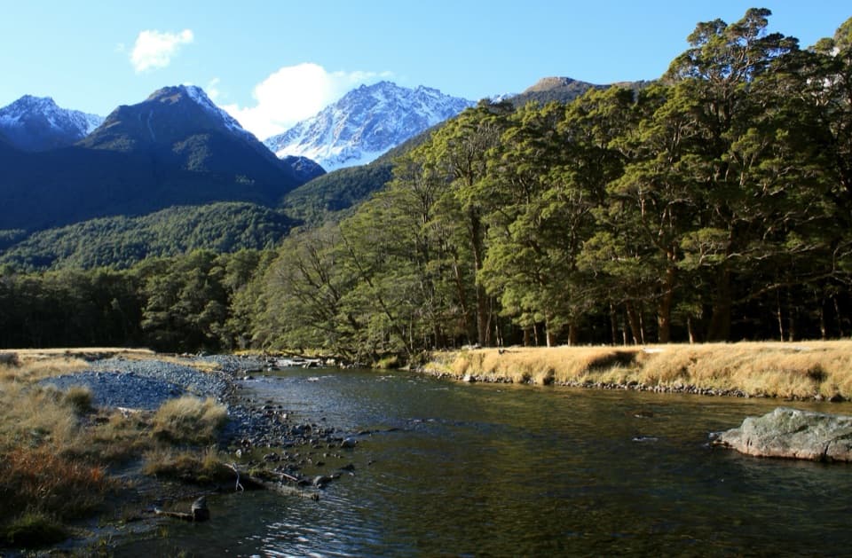 45Caples TrackA 31 km one-way valley tramp over McKellar Saddle to Lake Howden.
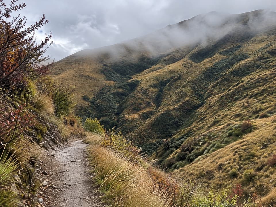 46Big Hill TrailA historic bridle climb to a high saddle above Arrowtown.
 47Routeburn Nature WalkA short beech-forest loop with a Route Burn swingbridge.
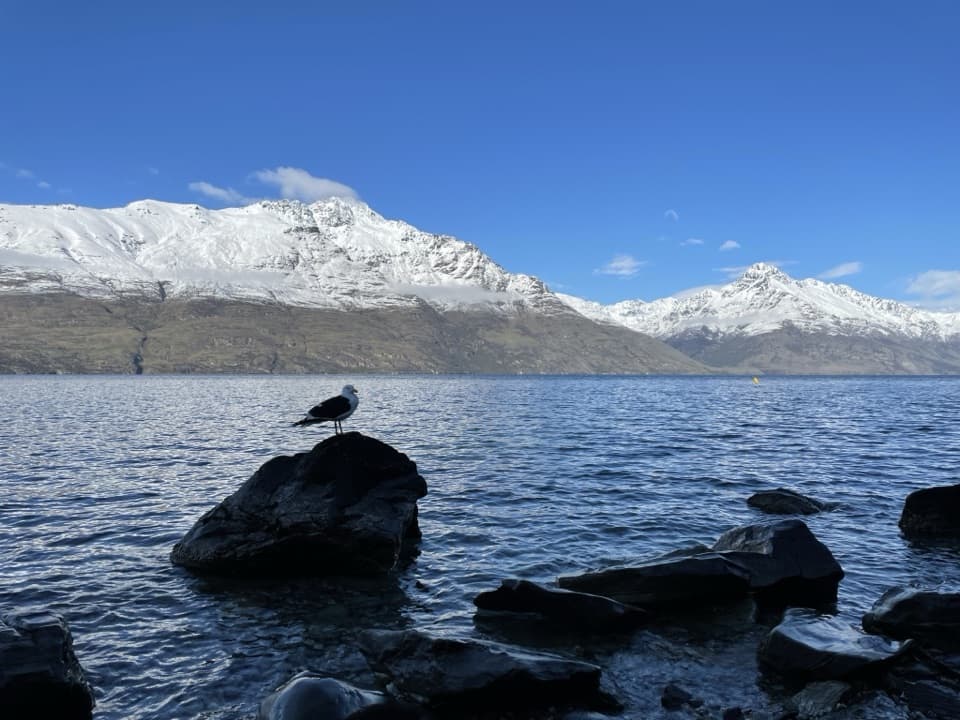 48Sunshine Bay TrackNative bush, rocky rises and a pebble cove on Lake Wakatipu.
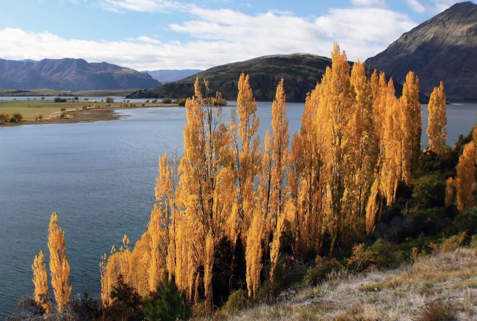 49Glendhu Bay TrackA long lake walk with a summer swim stop at Damper Bay.
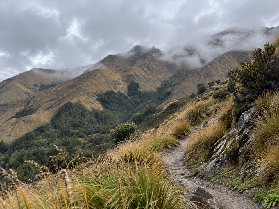 50Brow Peak TrailA full-day climb to an exposed alpine ridge above Arrowtown.
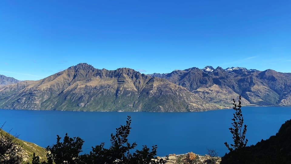 51Lower Wye Creek TrackA steep pipeline climb ends in a quiet beech-lined basin.
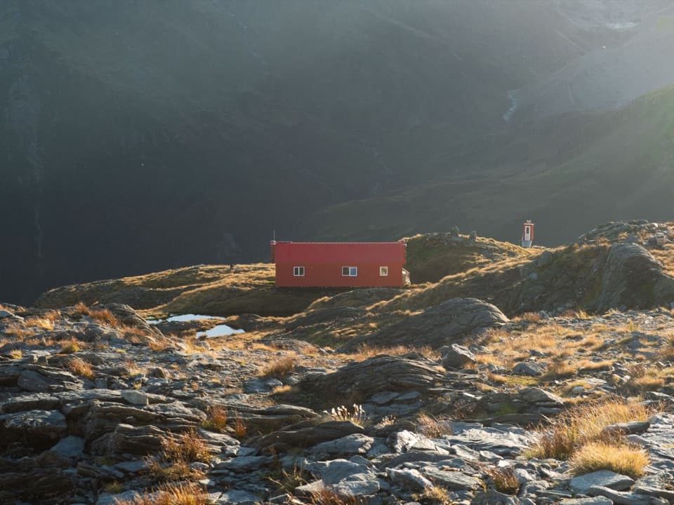 52French Ridge TrackA valley approach ends with more than 900 metres of climbing.
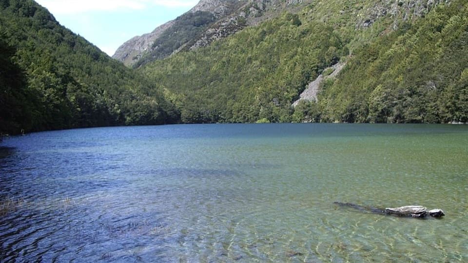 53Lake Rere WalkA long loop through paddocks, beech forest and a storied lake.
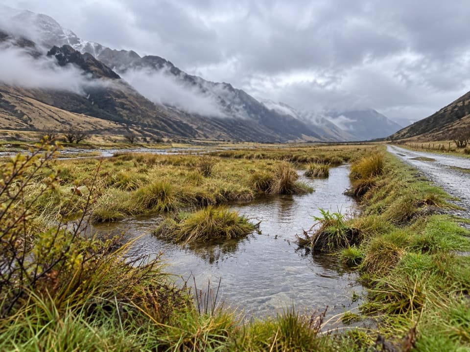 54Moonlight TrackFarm road climbs, Sefferstown remnants and a narrow Shotover-side traverse
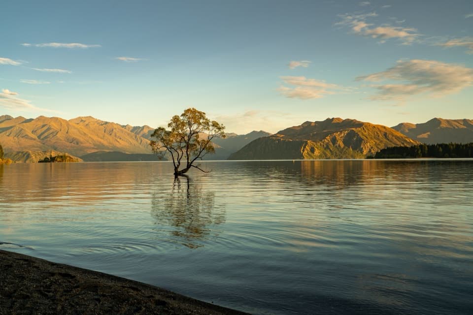 55Waterfall Creek TrackEasy lakeside miles lead to the Wānaka Tree and Waterfall Creek
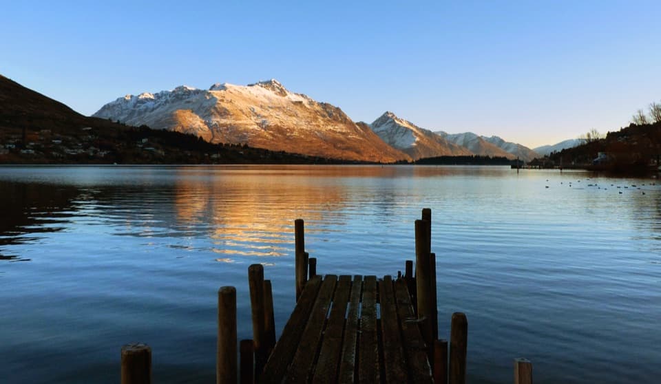 56Frankton TrackFollow Frankton Arm from garden paths to the Kawarau Falls Bridge.
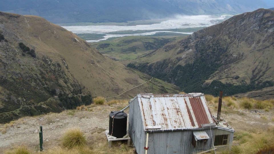 57Judah and Heather Jock Loop TracksA demanding hut loop through Whakaari’s old mining country.
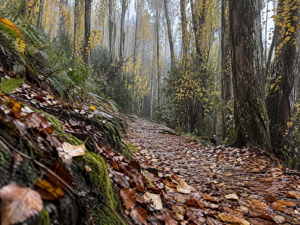 58Outlet TrackA shaded, one-way river walk from the lake outlet to Albert Town.
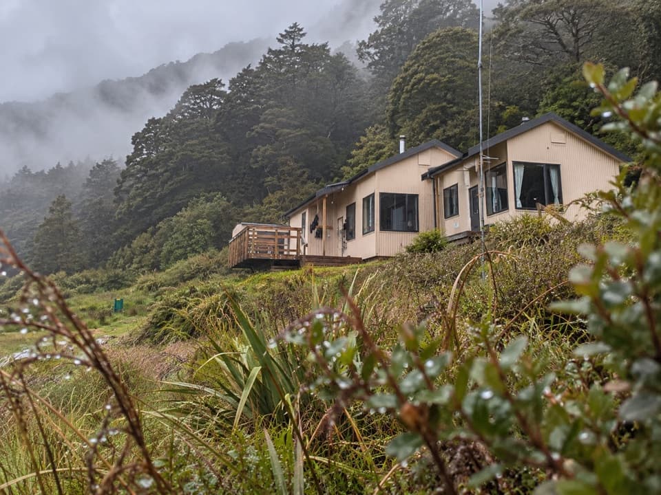 59Siberia Valley TrackA remote valley walk above Siberia Gorge to the Wilkin River.
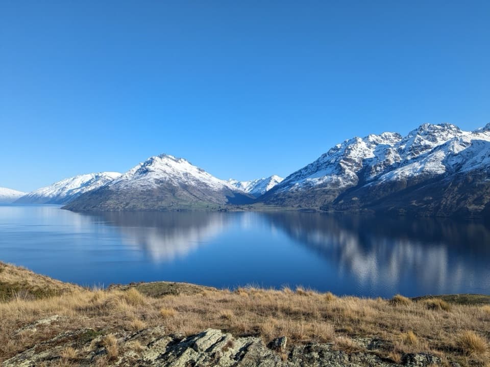 60Jacks Point TrailFollow the lakeshore from Jardine Park to Jack’s Point.
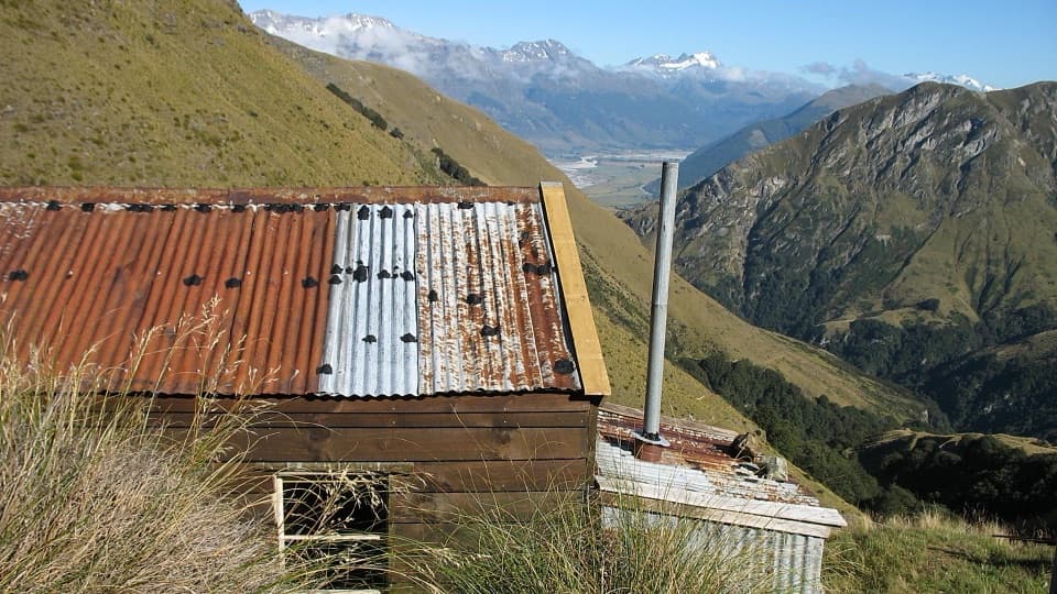 61Judah TrackA long hut hike along an old mining road through alpine tussock.
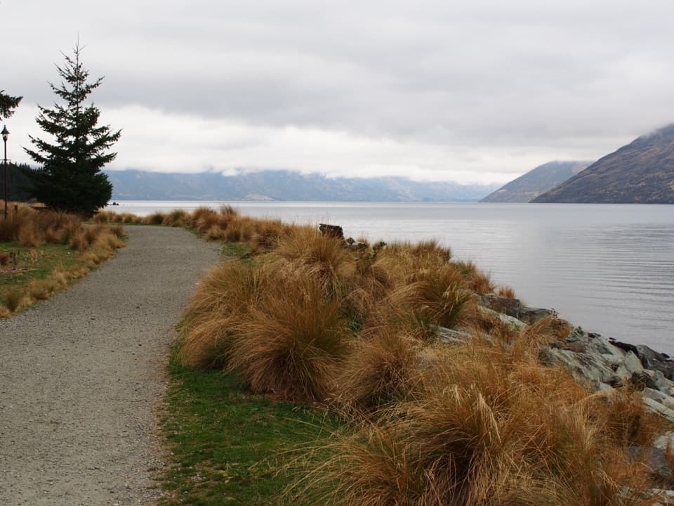 62Queenstown Gardens Loop WalkA lake-edge loop past the rose garden, with mountain views.
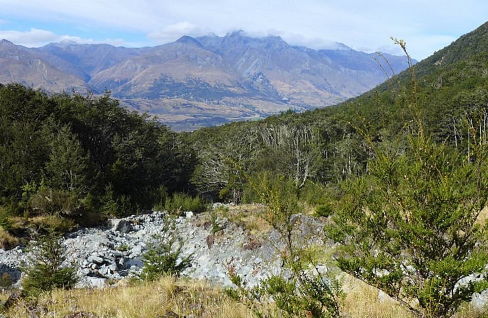 63Glacier Burn TrackA steep forest climb to Glacier Basin and Humboldt views.
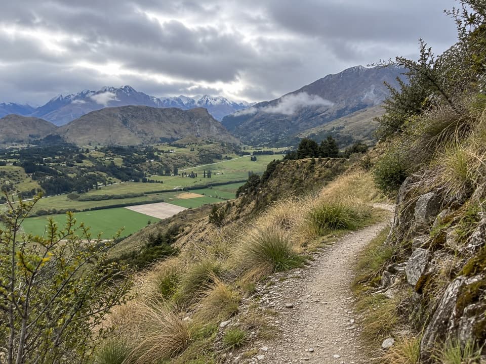 64Coronet Face Water Race TrailA high traverse past old water-race pipes above the basin.
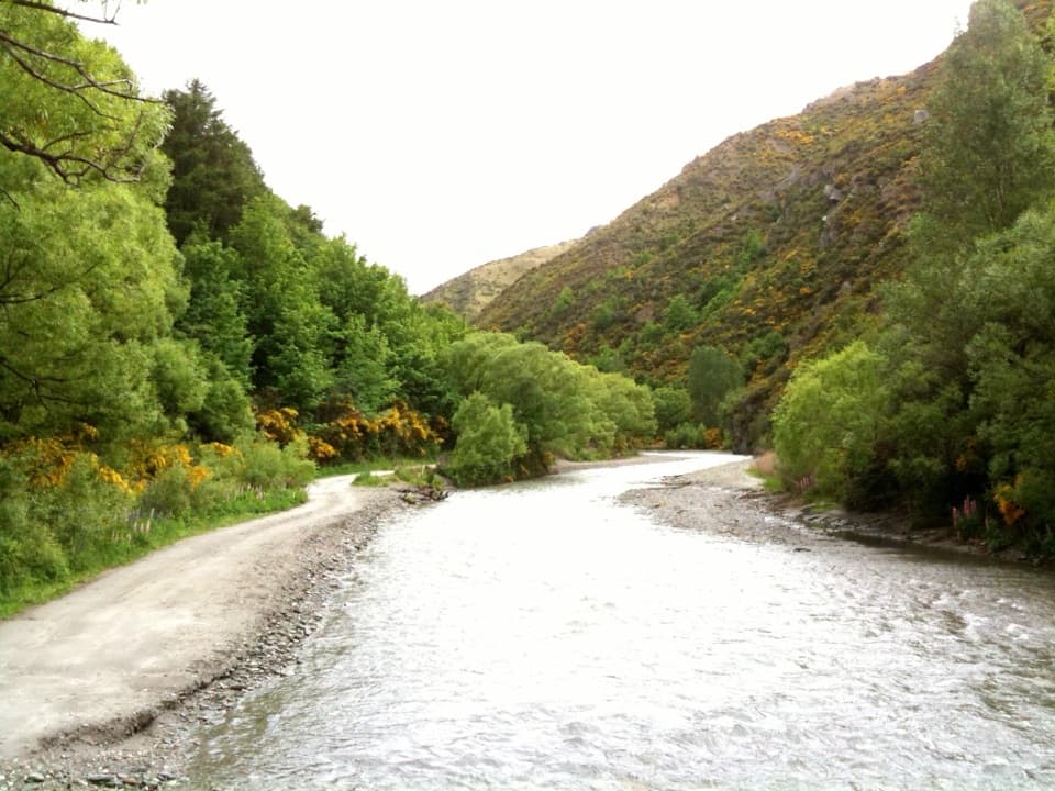 65Macetown Road Walk to Macetown Historic ReserveA long river road ends at an unusually intact gold-rush town.
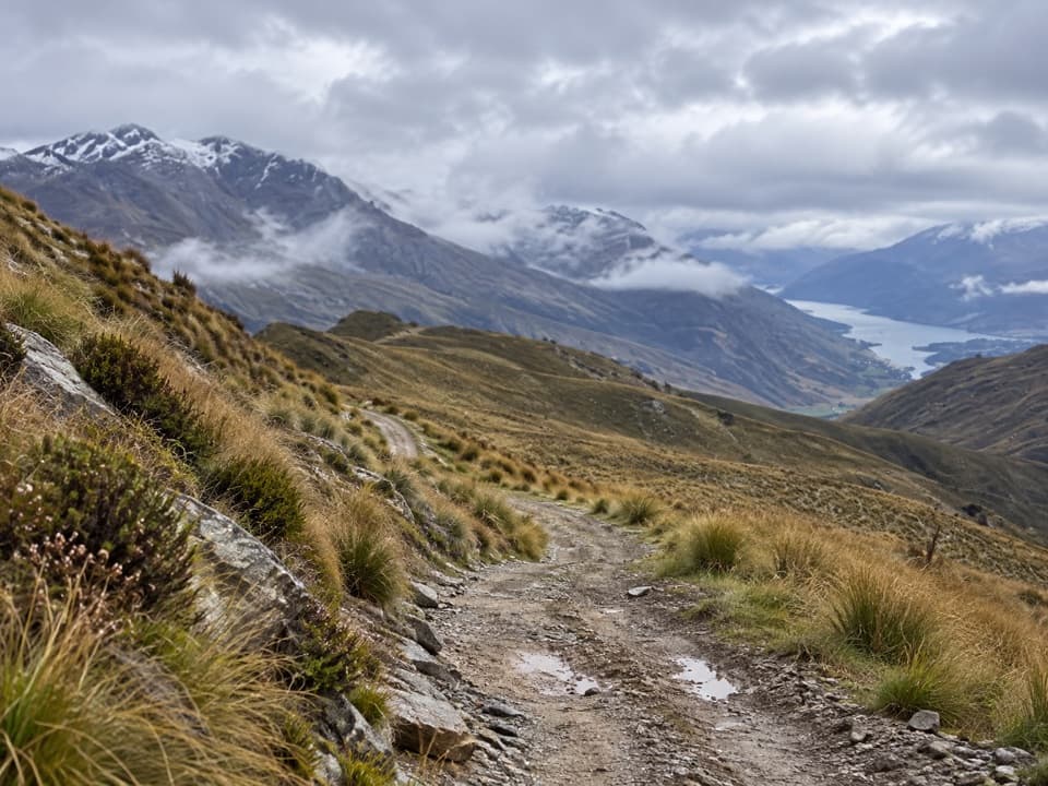 66Rock Peak TrackClimb a zigzag 4WD track for open Pisa Range views.
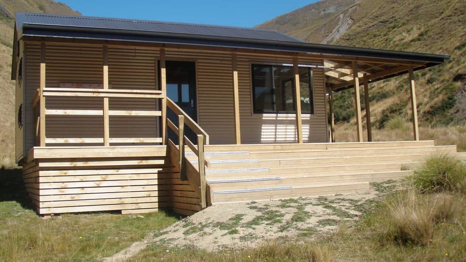 67Fern Burn Hut TrackA river valley climb to Fern Burn Hut and open tussock.
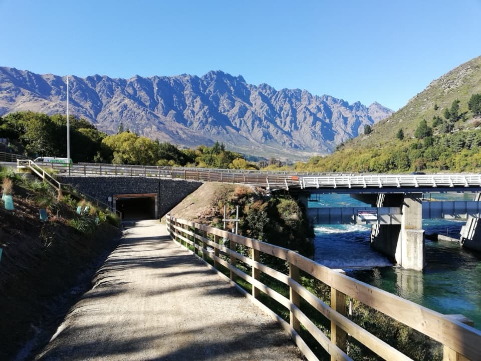 68Kelvin Heights TrailFrankton Arm views on a long, easy shore-to-park walk.
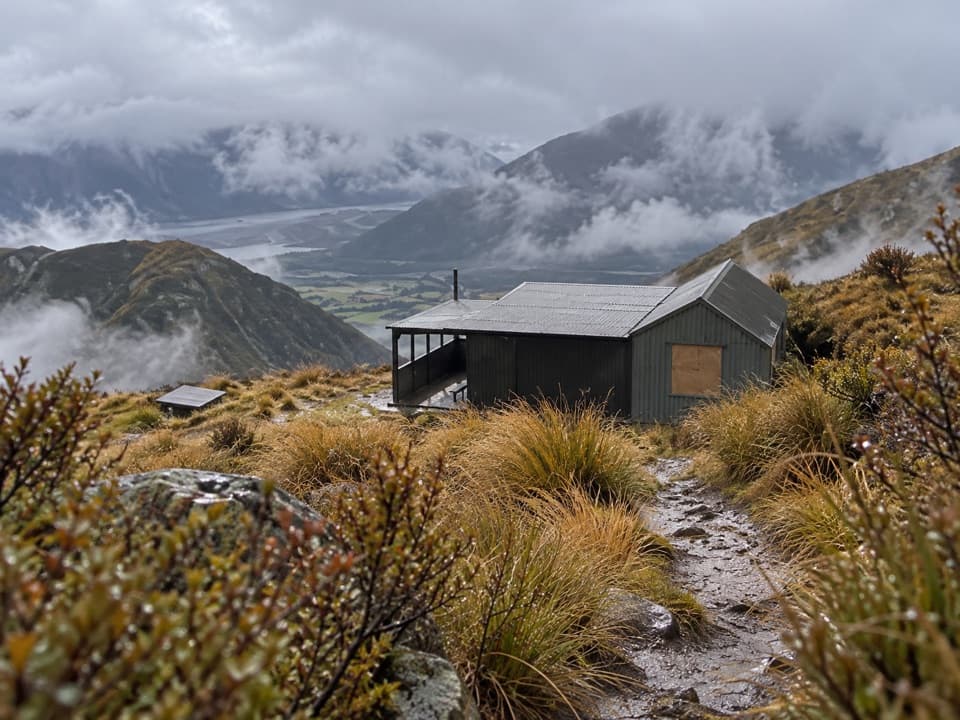 69Mt McIntosh Loop TrackA demanding 18 km loop over old mining roads and exposed ridges
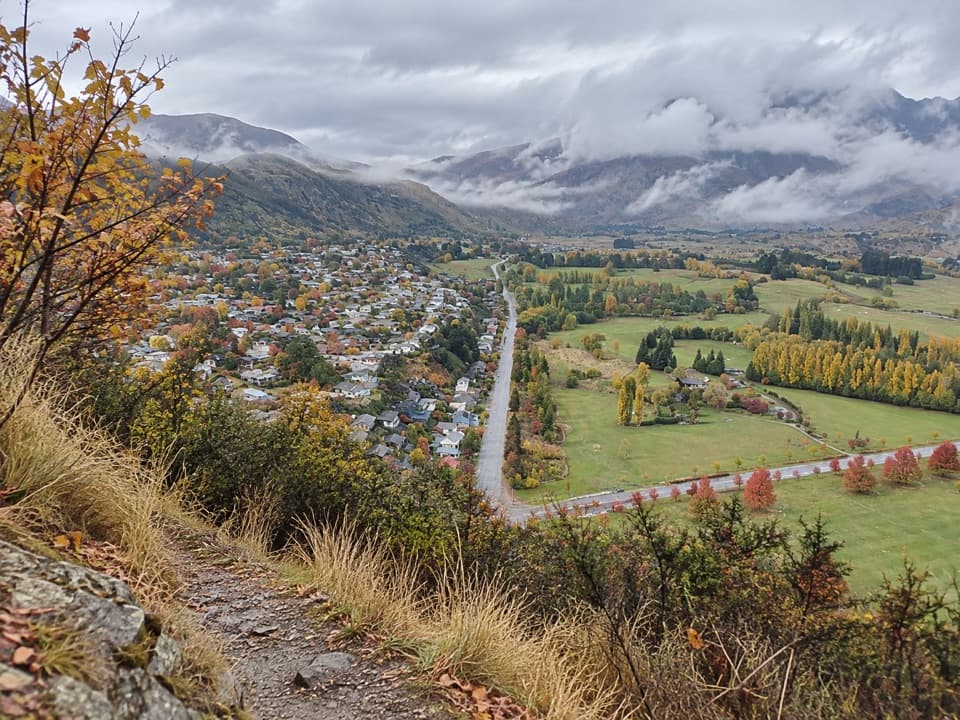 70Feehly Hill LoopA short, steep climb that earns a wide Arrowtown view.
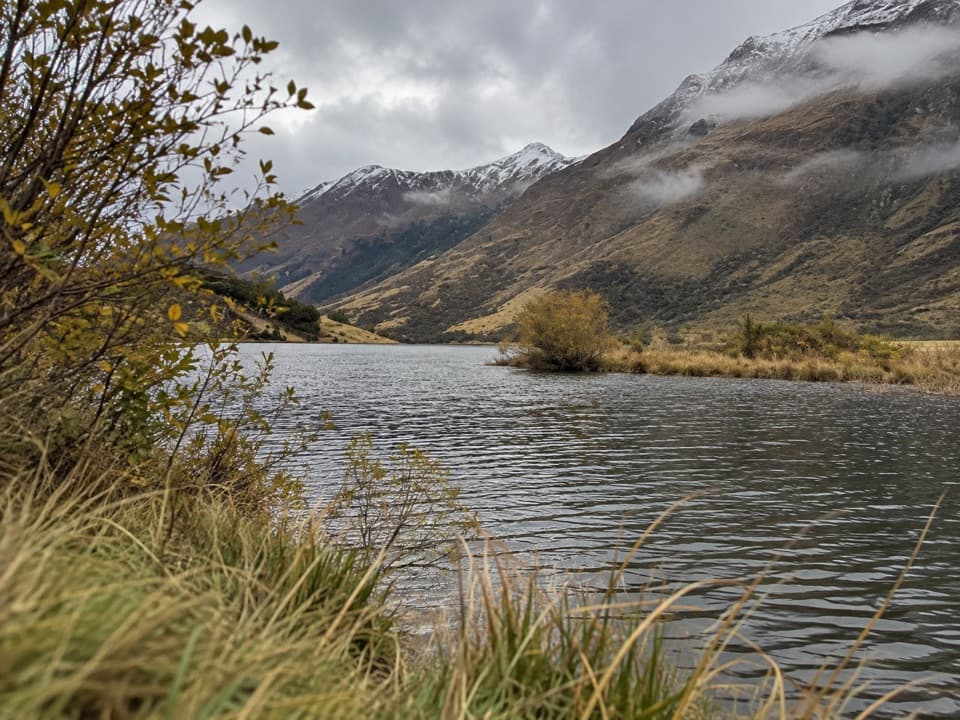 71Seven Mile Point TrackA lakeside start climbs through bush to a broad Wilson Bay view.
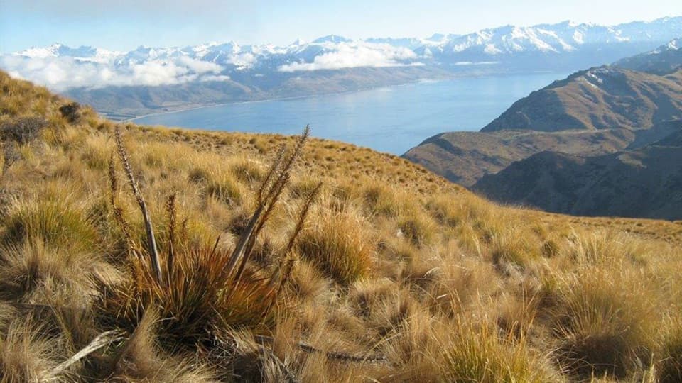 72Grandview Mountain TrackA hard climb opens sweeping views over Lake Hāwea and Wānaka.
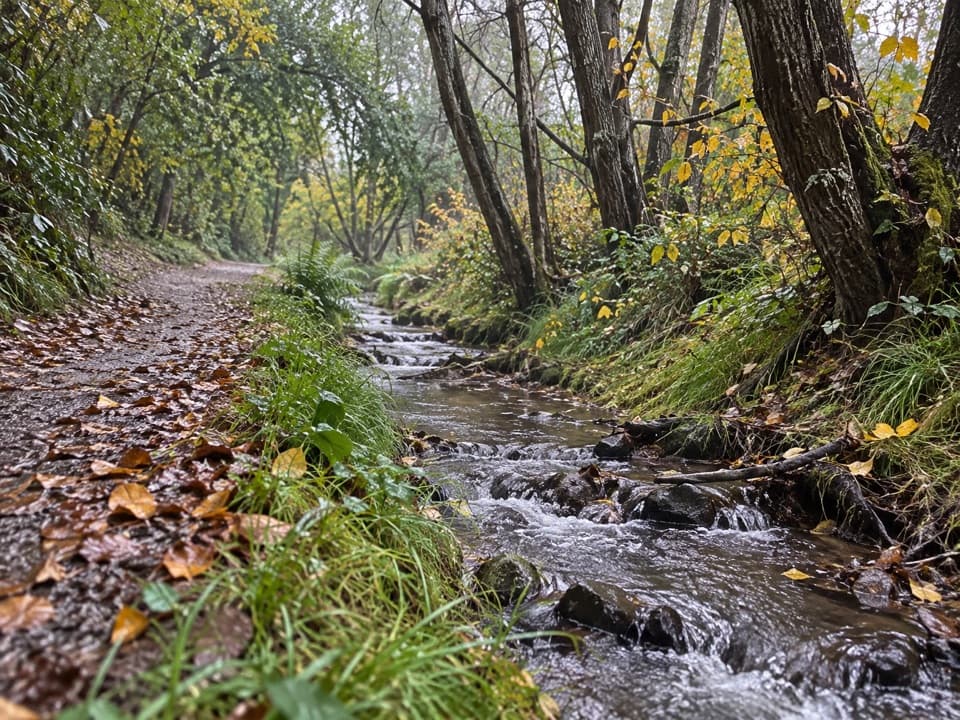 73Bush Creek TrackCreekside history leads to an open saddle above Arrowtown.
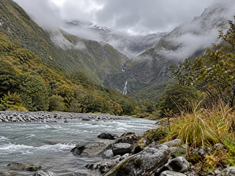 74Kitchener Track to Aspiring FlatsA river gorge and cirque reward the long tramp.
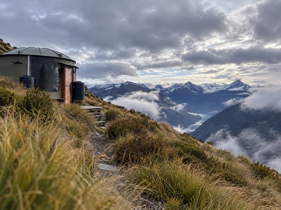 75Mahu Whenua TraverseFive Turk huts stitch together this unmarked alpine crossing.
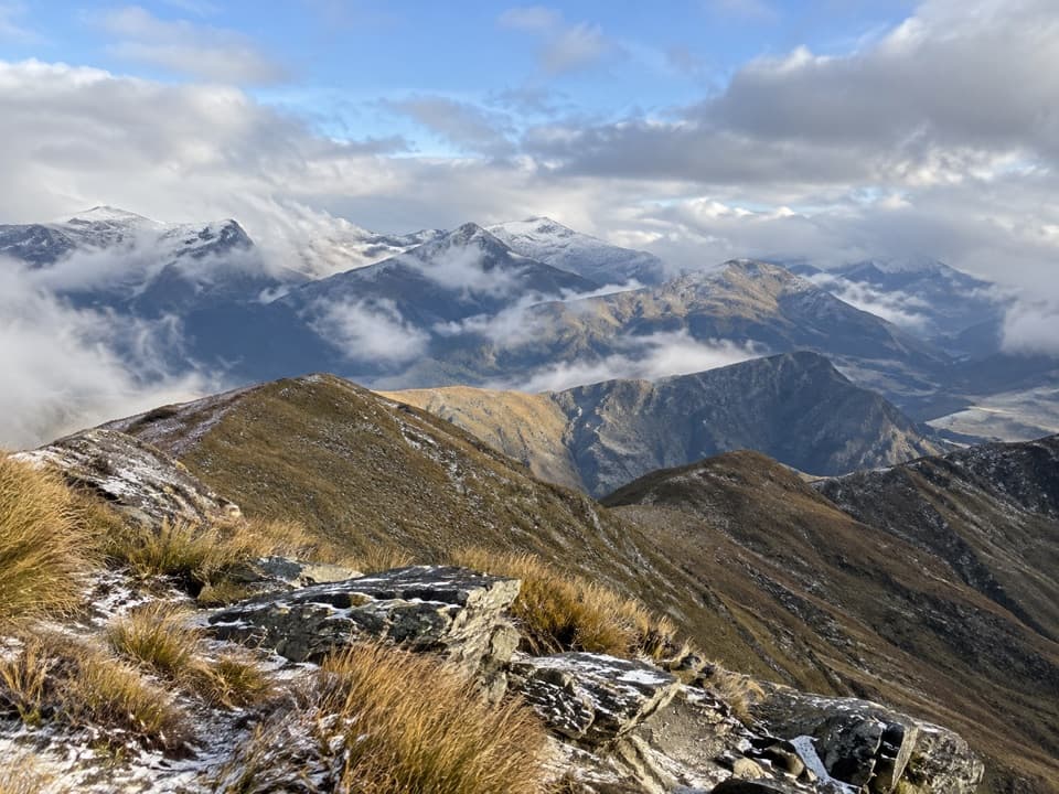 76Mount Dewar TrackA short hill climb with broad Whakatipu basin views.
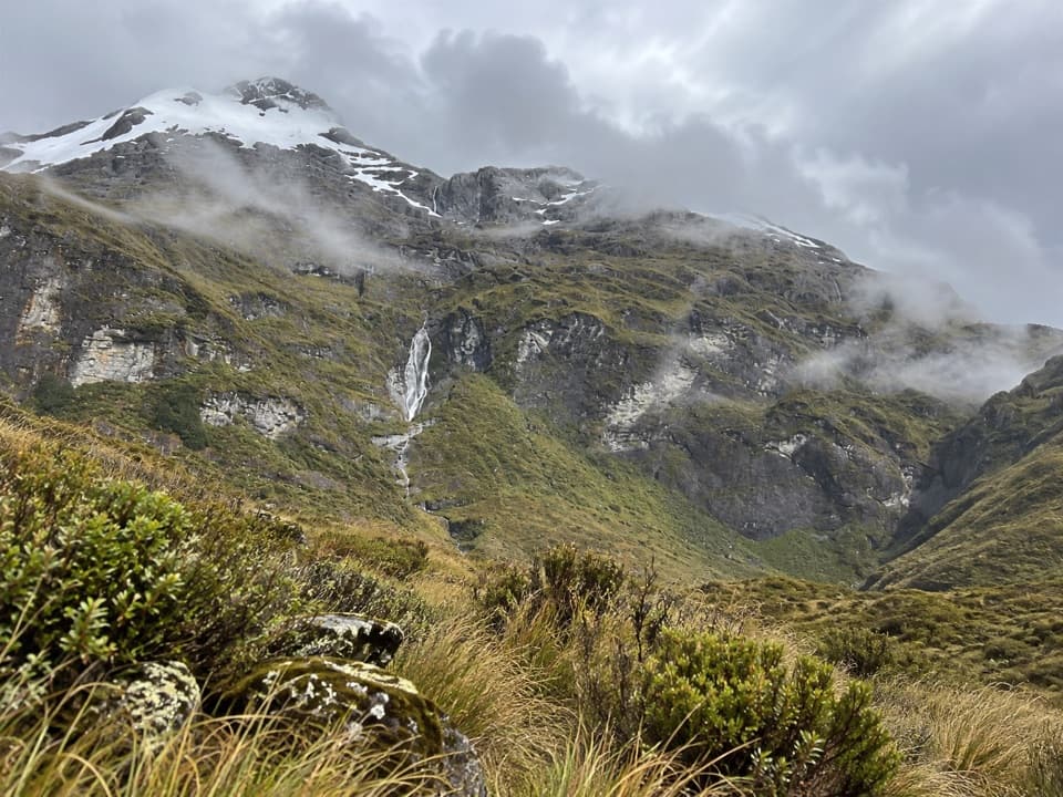 77Kea Basin TrackBig Rees Valley views after a long climb to tussock country.
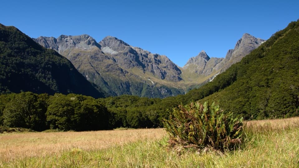 78Routeburn North Branch TrackA full day to find a wilder branch of the Routeburn.
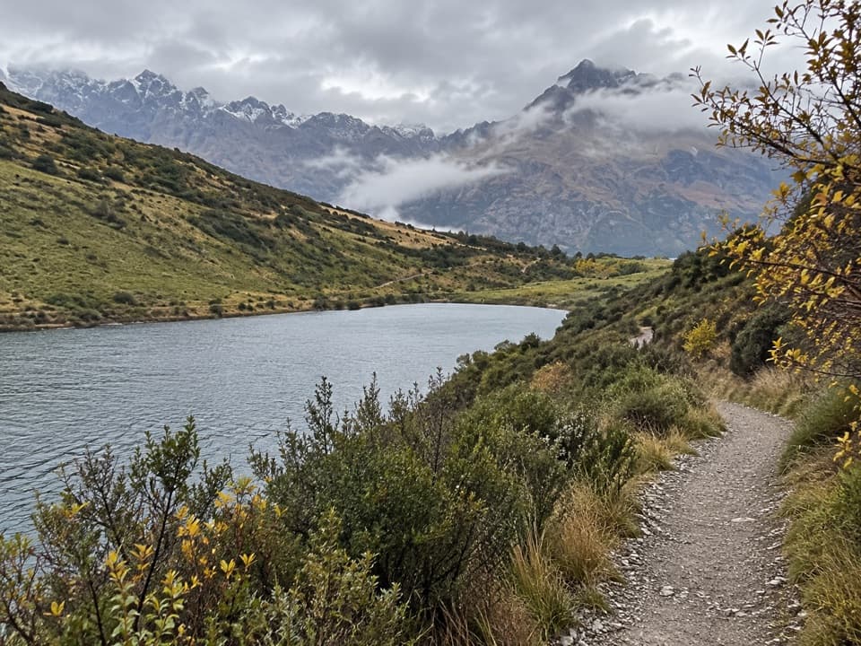 79Lake Dispute WalkwayA steep shrubland climb to a high-country trout lake.
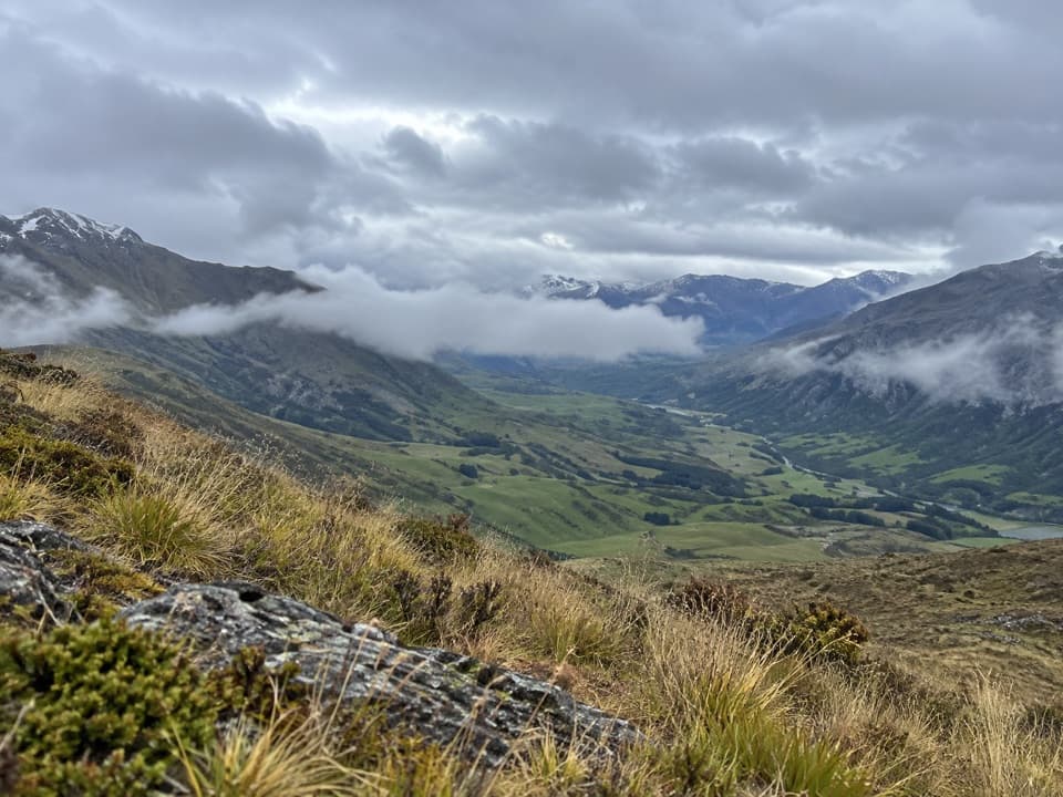 80Mt Rosa TrackA high-country crossing over Rosa and Mason to SH6.
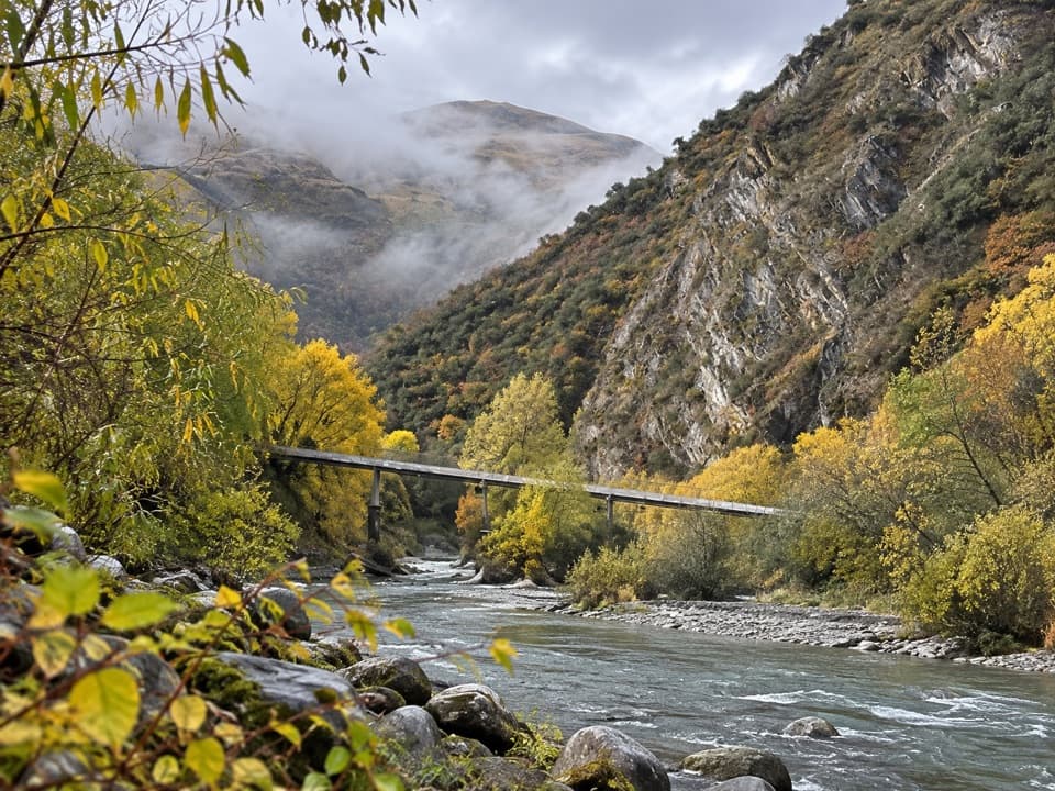 81Arrow Gorge TrackA short Arrow River gorge walk with a small waterfall.
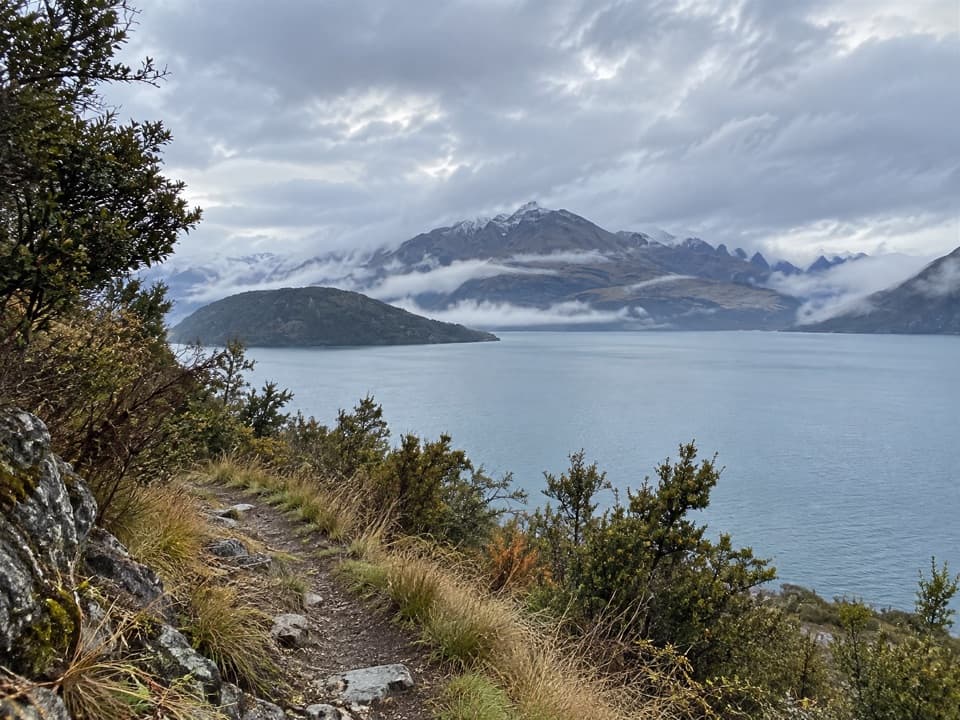 82Minaret Burn TrackA long lakeshore walk into the Minaret Burn valley.
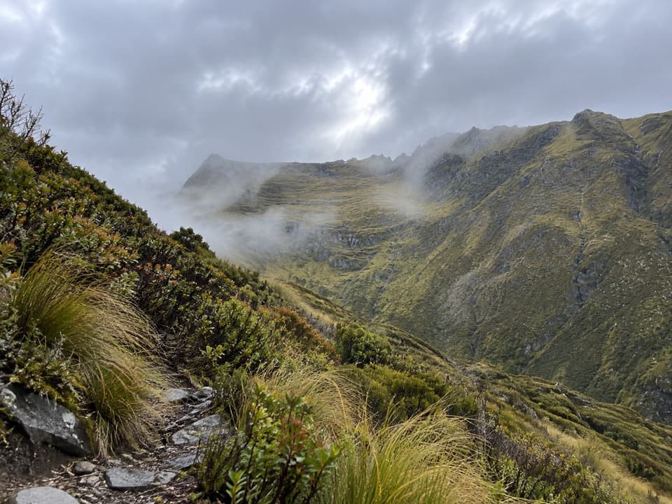 83Mount Shrimpton TrackA steep bush climb to a wide Makarora Valley view.
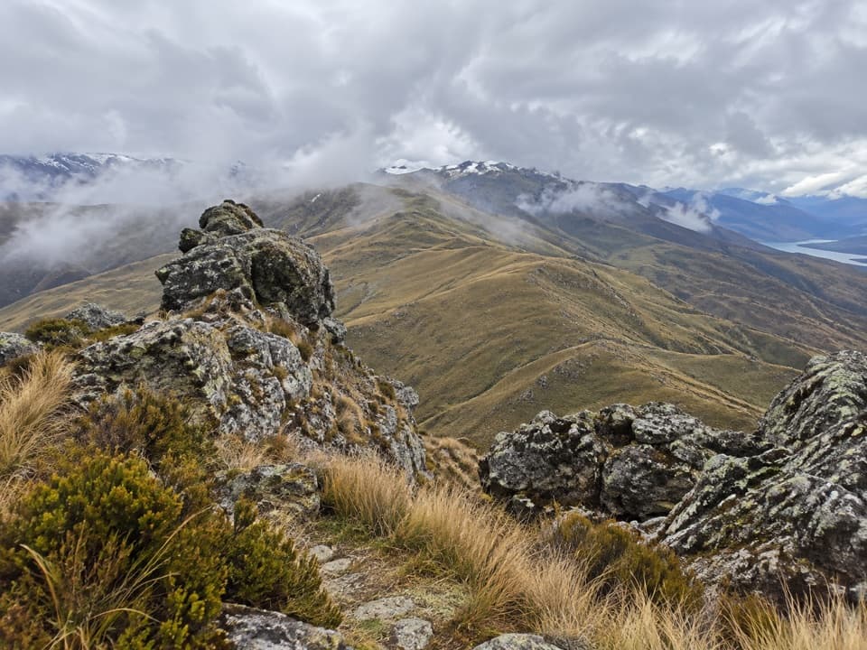 84Crown Peak TrackTussock slopes climb to crown-like rocks and open basin views.
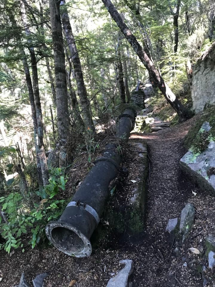 85One Mile Creek WalkA short creek climb to a historic dam and waterfall.
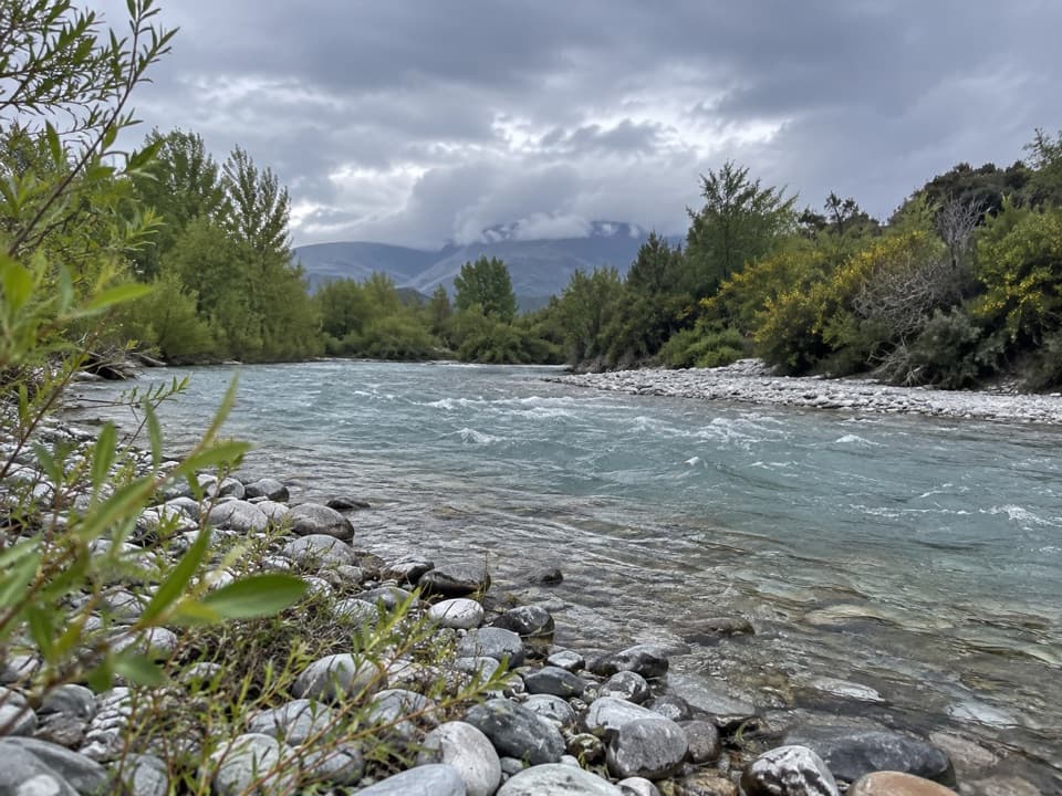 86Hāwea River TrackAn easy riverside walk with the Hāwea Wave midway.
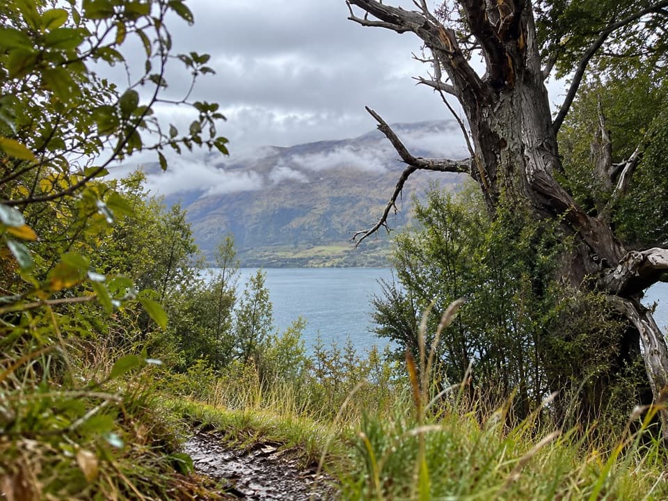 87Te Kere Haka TrackAn easy lakeshore walk to a waterfall with Lake Wakatipu views
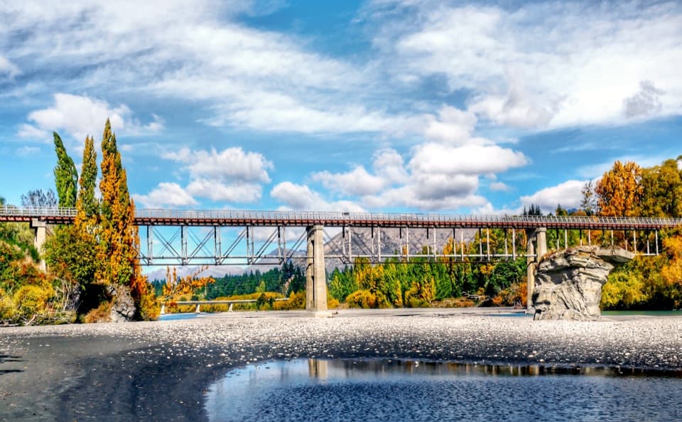 88Twin Rivers TrailAn 18.5 km river traverse crosses a restored 1871 bridge.
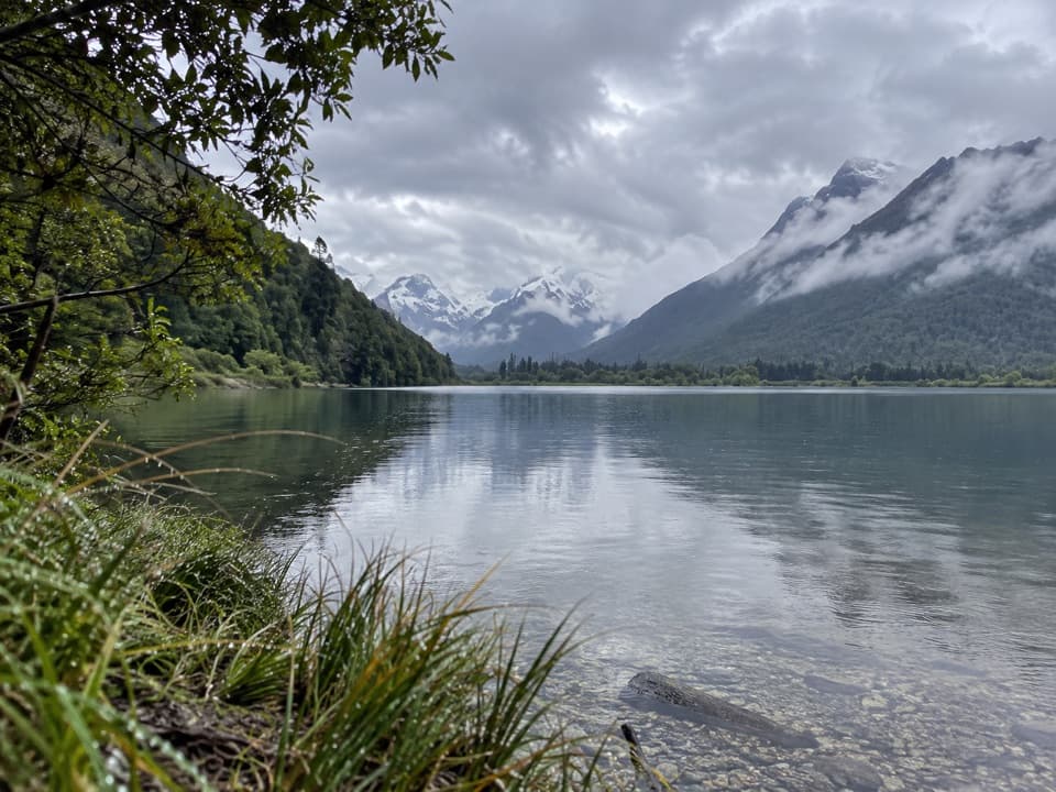 89Diamond Creek WalkA boggy creek walk ends with birdlife and broad valley views.
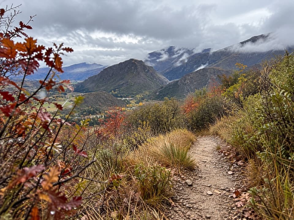 90New Chum Gully TrackA steep loop through gold-rush gullies to broad basin views
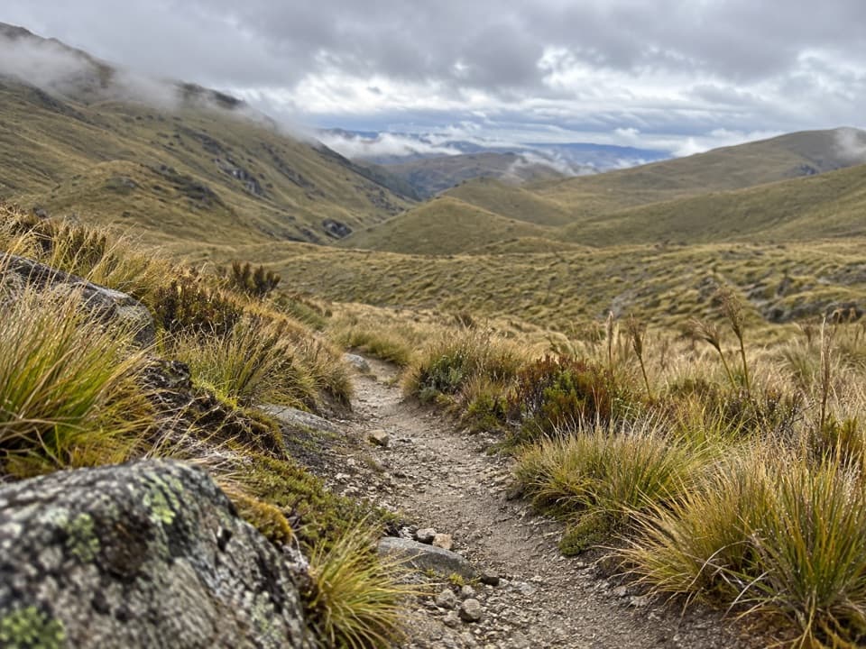 91Roaring Meg Pack TrackA full Pisa Range crossing ends in the Roaring Meg gorge.
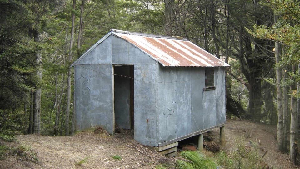 92Sawyer Burn TrackA steep Lake Hāwea climb to a shaded two-bunk hut.
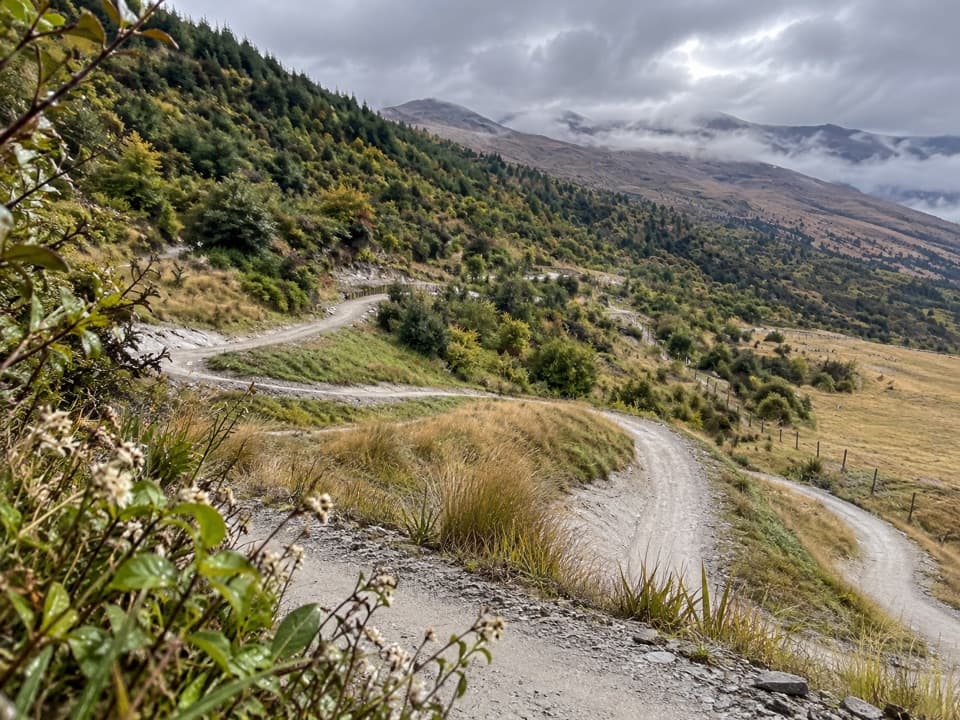 93Wharehuanui TrailA long, easy traverse of wetlands and Coronet foothills.
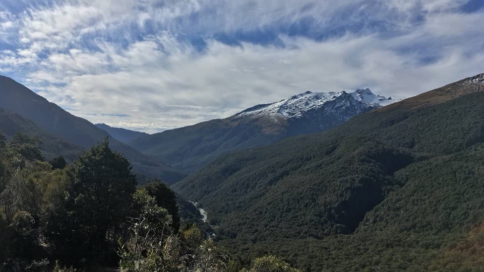 94Haast Pass Lookout TrackSteep beech forest opens to Southern Alps views.
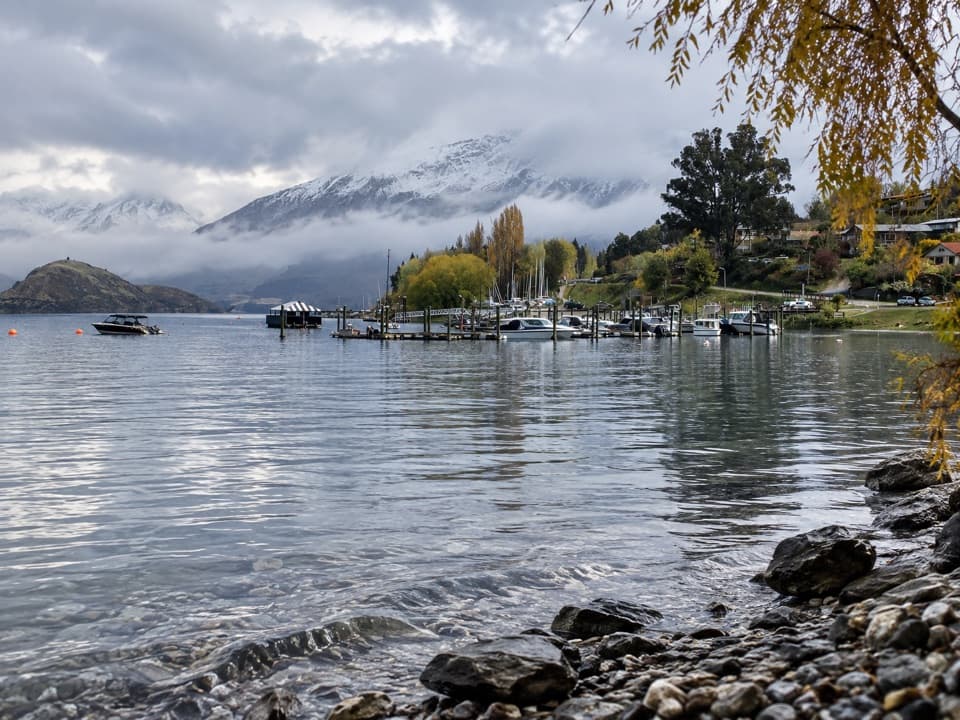 95Eely Point WalkEasy lakeside walk from town to a sheltered boating and picnic point.
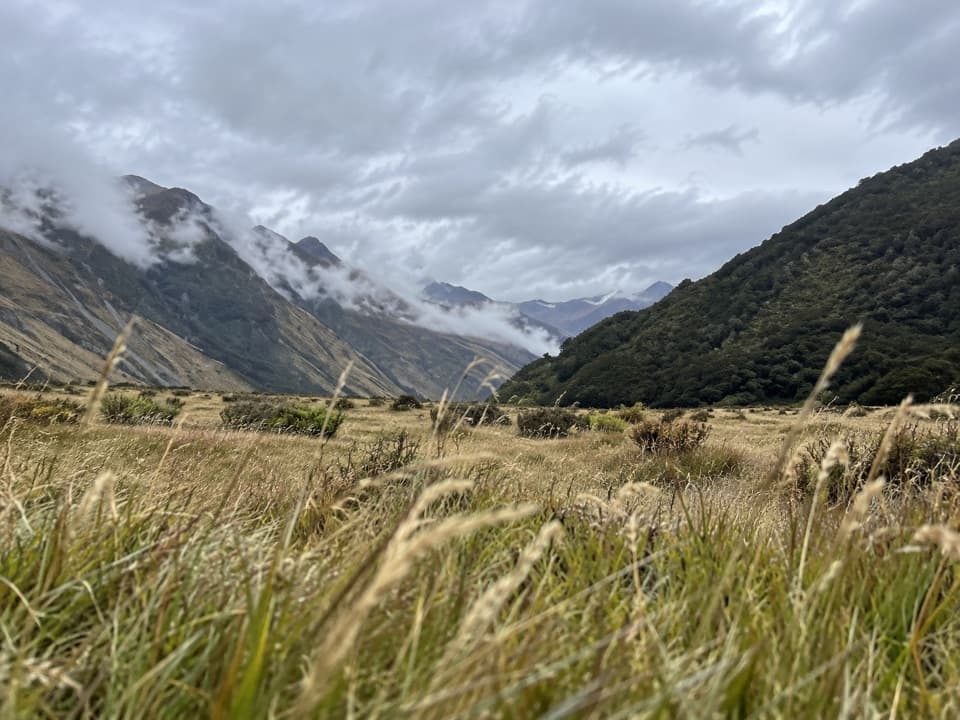 96East Matukituki TrackA full day through river flats, beech forest and rough slips.
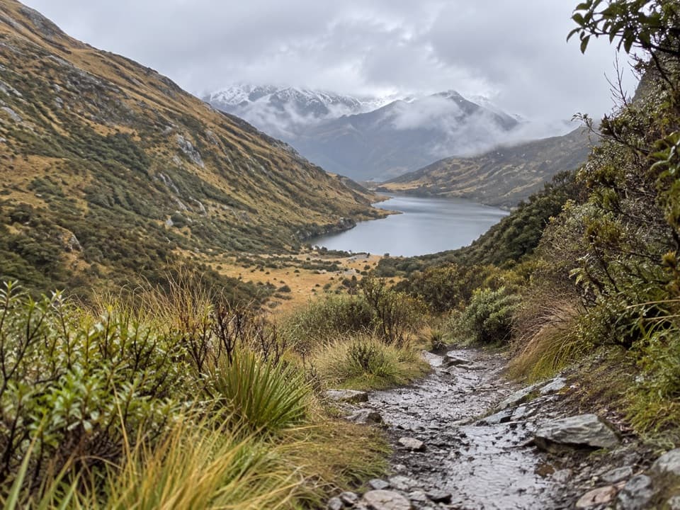 97Lake Dispute to Moke Lake TrackA rocky saddle links Lake Dispute and Moke Lake.
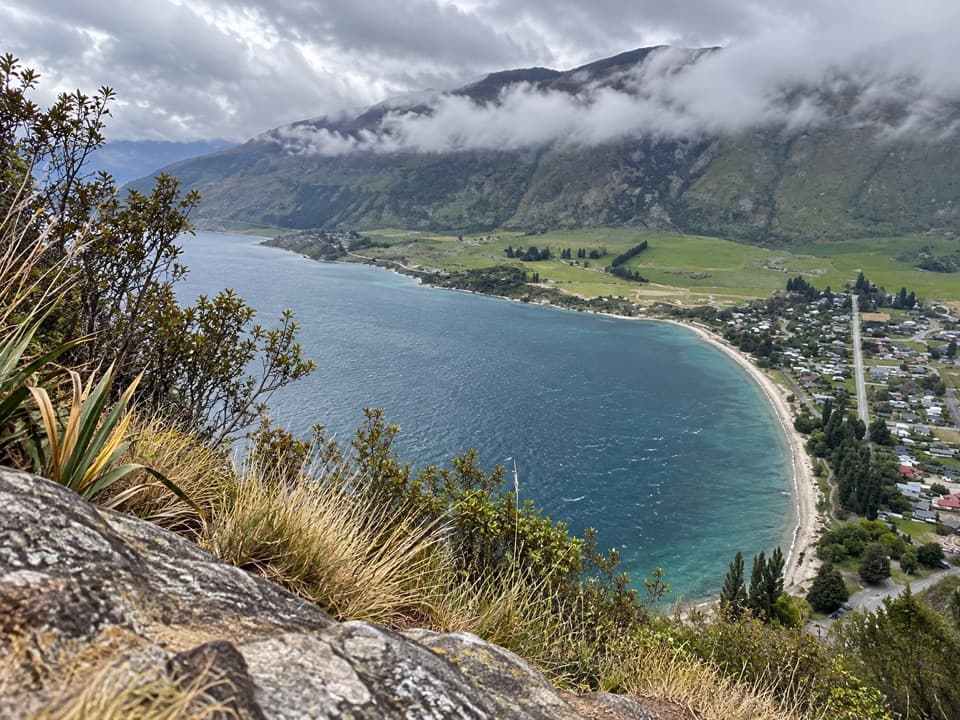 98Shirt Tail TrackA steep stream climb pays off with Lake Wakatipu above Kingston.
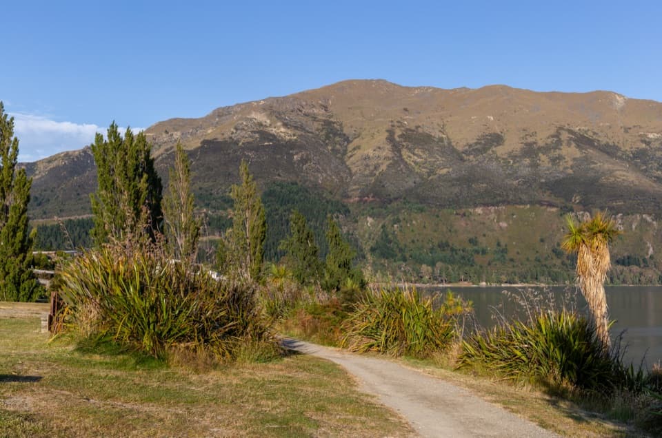 99Gladstone TrackWalk Lake Hāwea’s shoreline from the dam to Johns Creek.
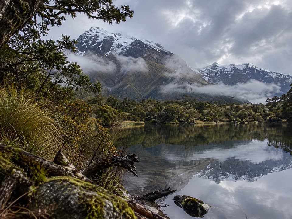 100North Branch Wilkin Valley TrackA full day from the hut to three alpine lakes.
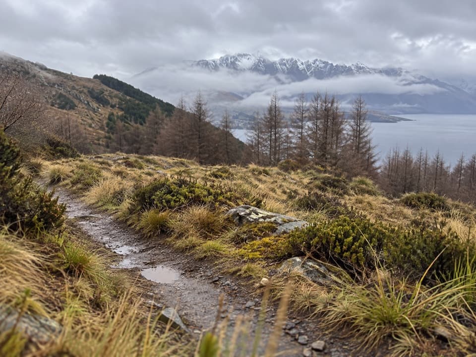 101Fernhill Loop TrackSteep forest climb, then tussock and Lake Wakatipu views.
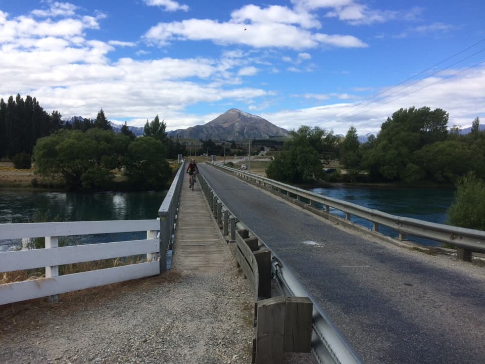 102Upper Clutha River TrackA long riverside traverse with gold-mining history at Reko’s Point.
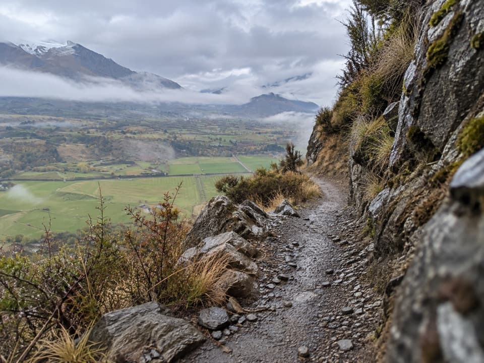 103Coronet Loop TrailMining water race and remote valleys on a huge loop.
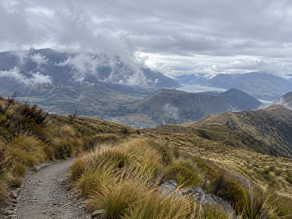 104Devils Creek TrackA long traverse from Mount Dewar into the Devils Creek catchment.
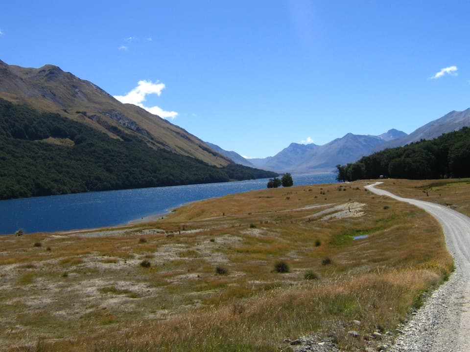 105Mavora–Greenstone WalkwayA 38 km tramp from Greenstone Hut to Mavora Lakes106Countryside TrailA basin crossing, Slope Hill climb, and a Shotover bridge finish.
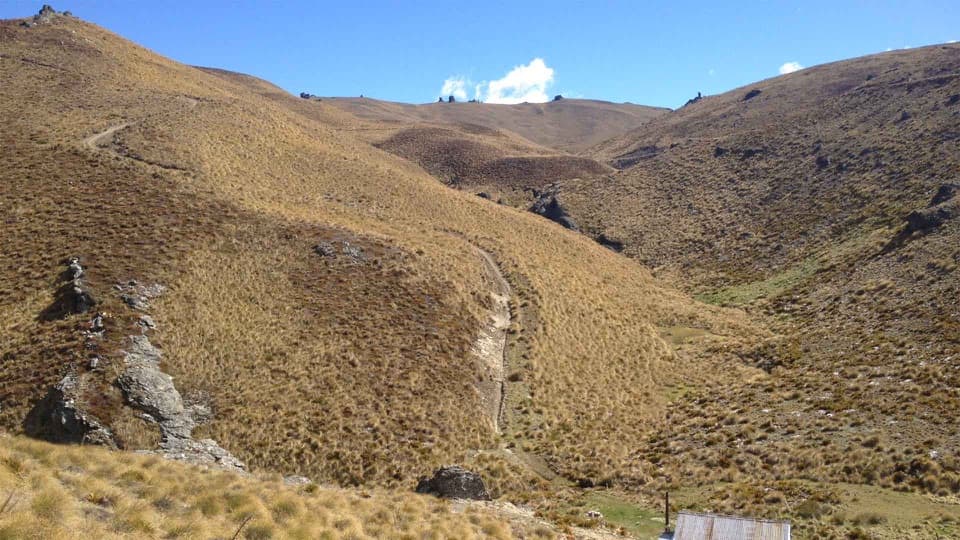 107Cardrona-Cromwell Pack TrackA full-day traverse over the Pisa Range to Lowburn.
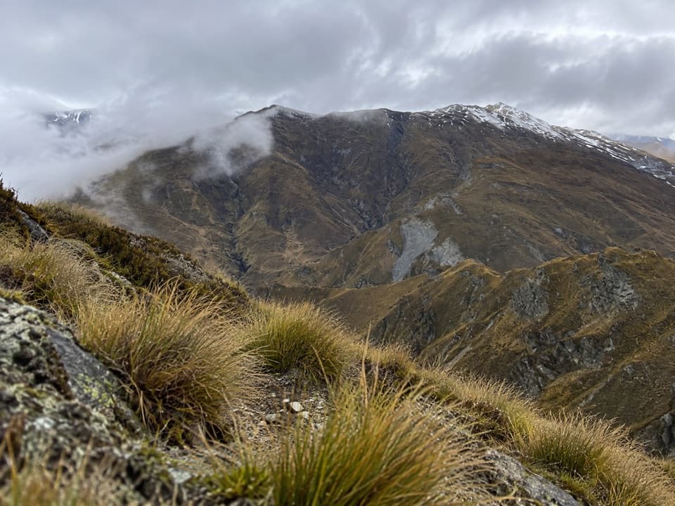 108Atleys TrackA rugged crossing over Mt Dewar to old gold workings.
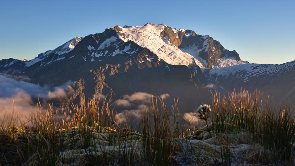 109Shotover Saddle RouteA full alpine day to a tarn shelf below the saddle.
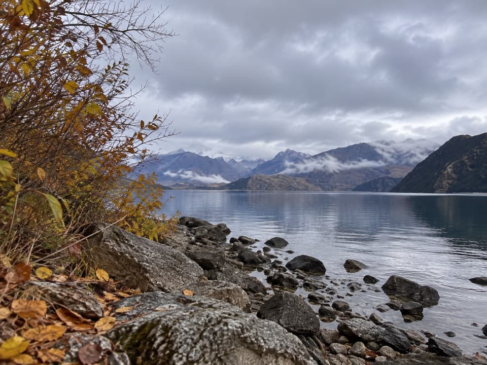 110Beacon Point WalkEasy lakeside walking from Bremner Bay to Beacon Point.
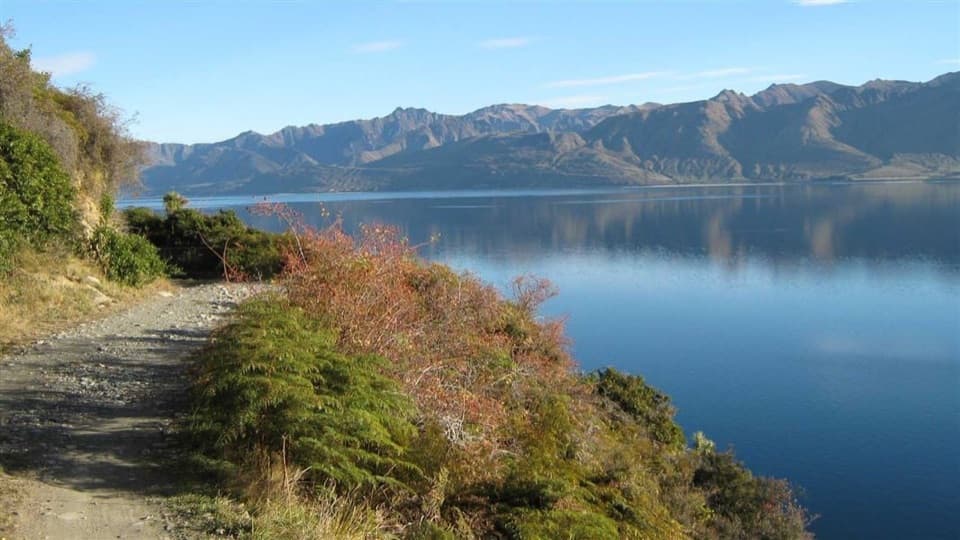 111Dingle Burn Peninsula TrackWalk Lake Hāwea’s eastern shore to Turihuka.
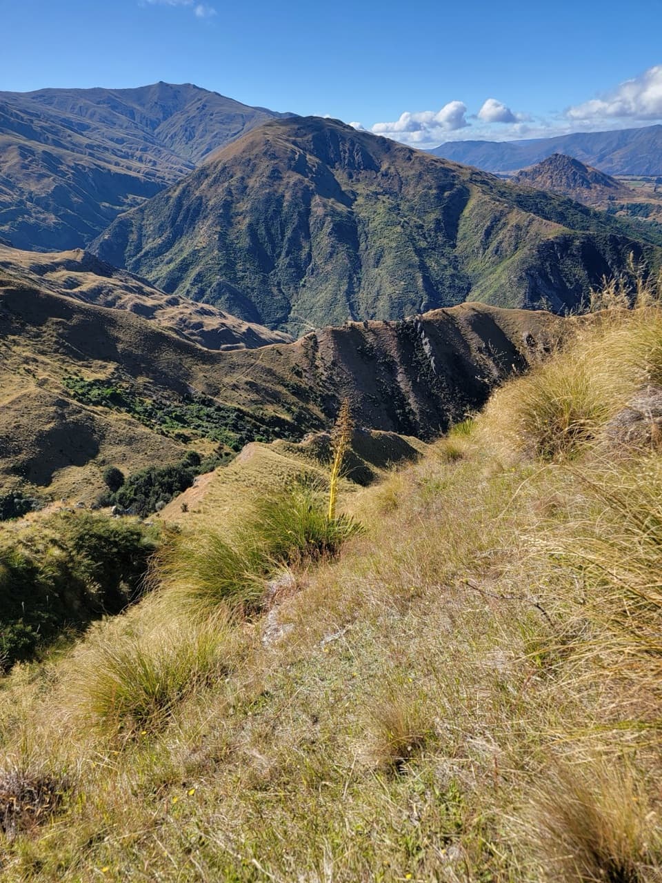 112Hayes Creek TrailA full-day Arrowtown loop over Big Hill and down Hayes Creek.
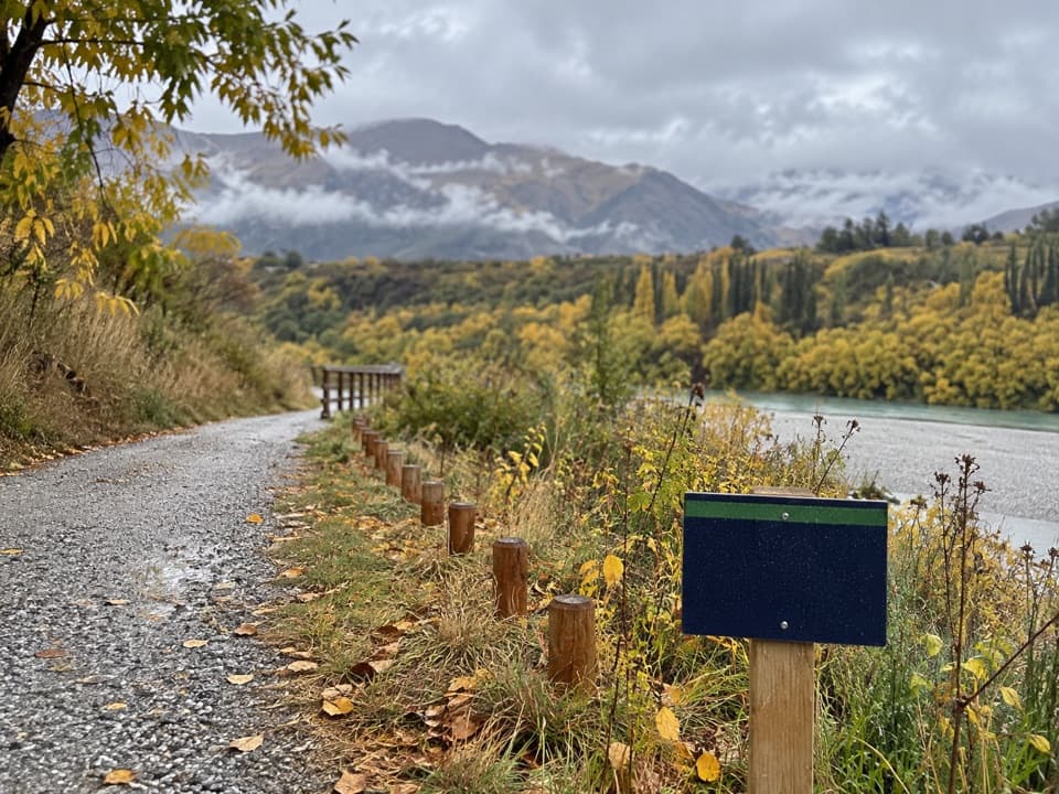 113Tucker Beach Trail4.4 km one-way riverside walk with views of the historic bridge.
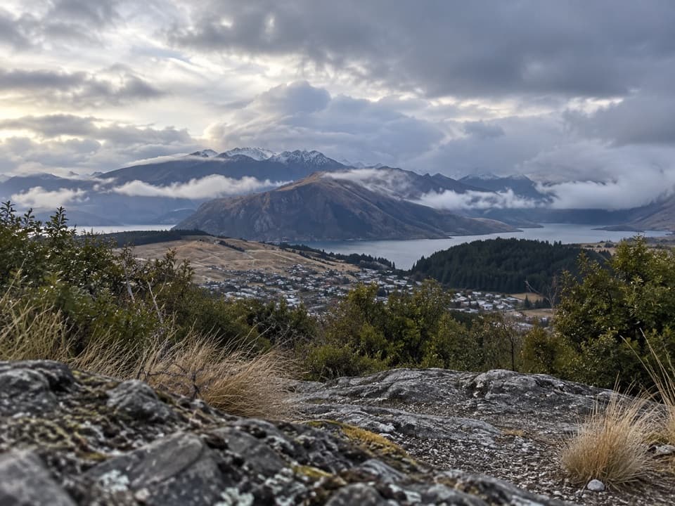 114Little Mount Iron TrackA poled hill crossing with open views from a smaller summit.
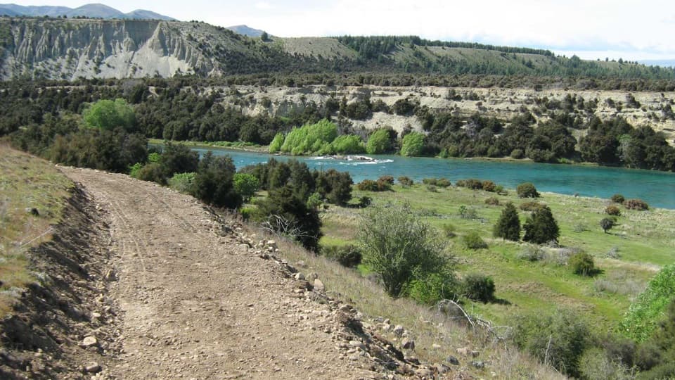 115Newcastle TrackA long, undulating river track from Hāwea to Kane Road.
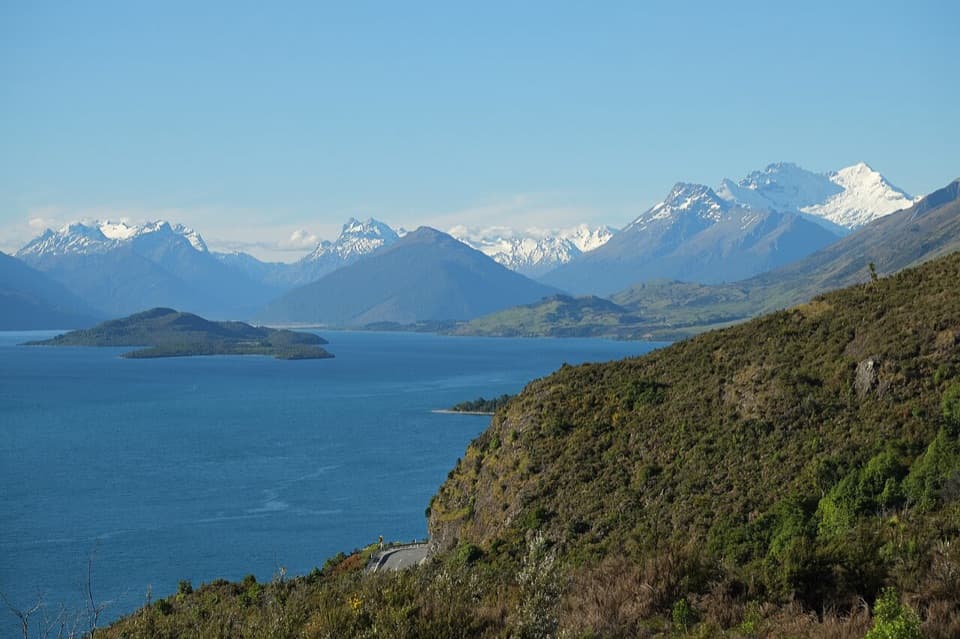 116Bennetts Bluff Viewpoint WalkA short, easy return walk for big lake and mountain views.
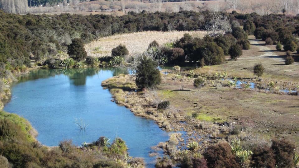 117Butterfields Wetland WalkA short wetland loop among grassland, kānuka and mountain views.
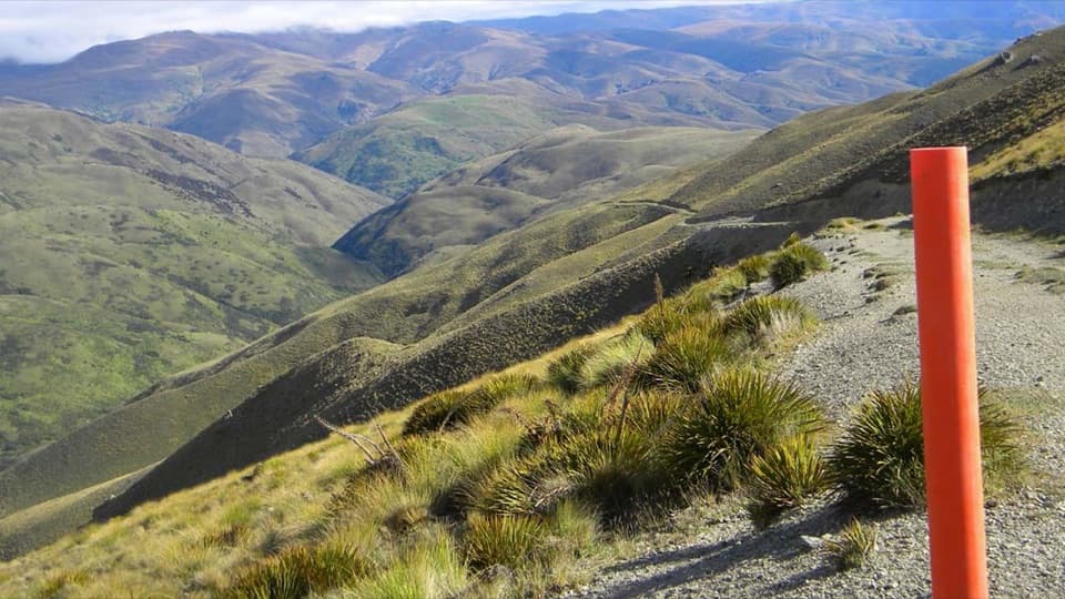 118Grandview Ridge TrackA strenuous ridge traverse with sweeping Upper Clutha views
 119Makarora Bush WalkA quick shaded forest loop with a pit-saw display halfway round.
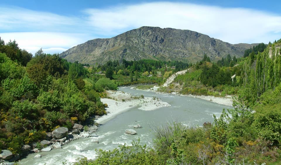 120Oxenbridge Tunnel TrackA quick viewpoint walk with rapids, gold-rush history and a steam engine
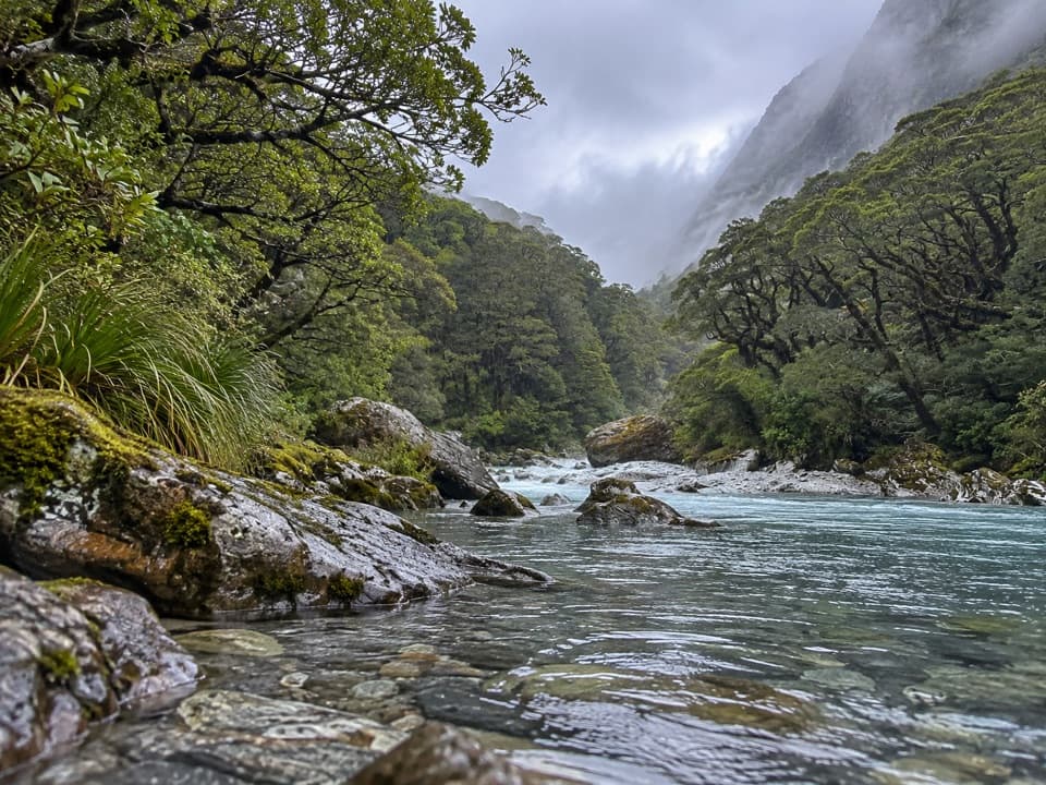 121Beans Burn TrackA jetboat drops you beside a faint track into a remote valley.
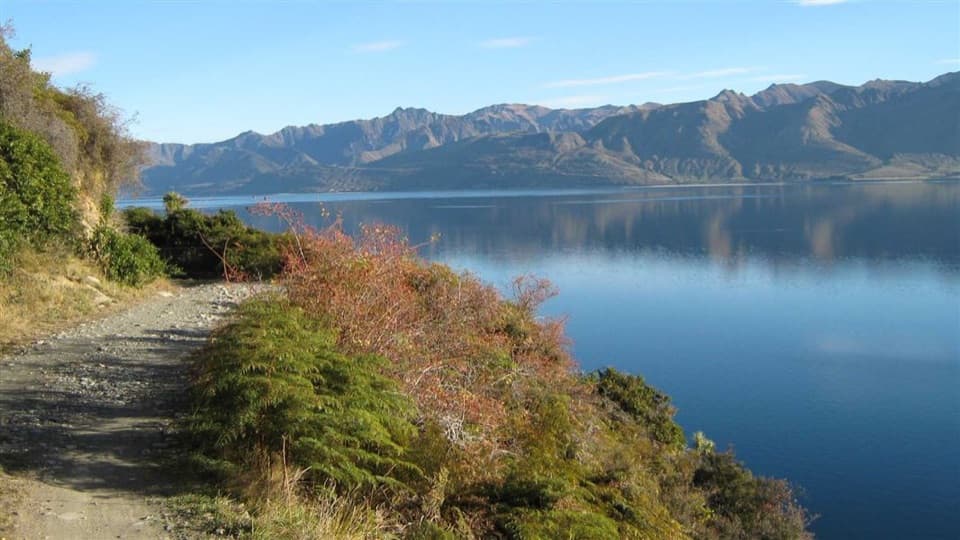 122Dingle Burn TrackA remote hut traverse with river fords and a high saddle.
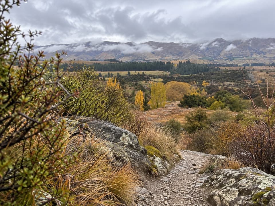 123Luggate Creek TrackA short willow-lined creek walk to the Clutha River.
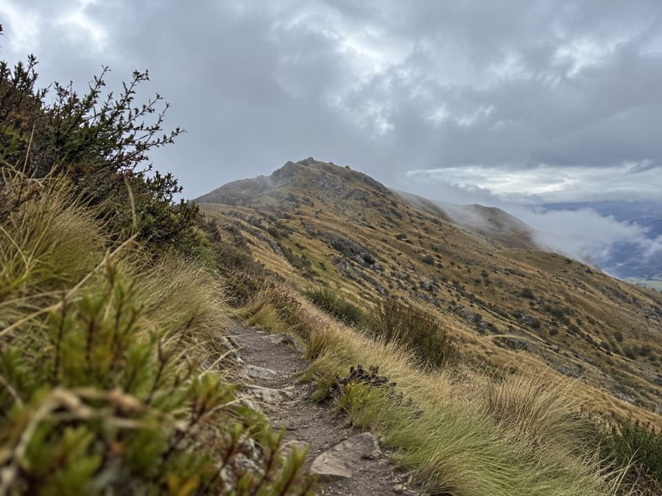 124Deep Gully–Eastern Hills Loop TrackA steep loop climbs through tussock to wide Upper Clutha views.
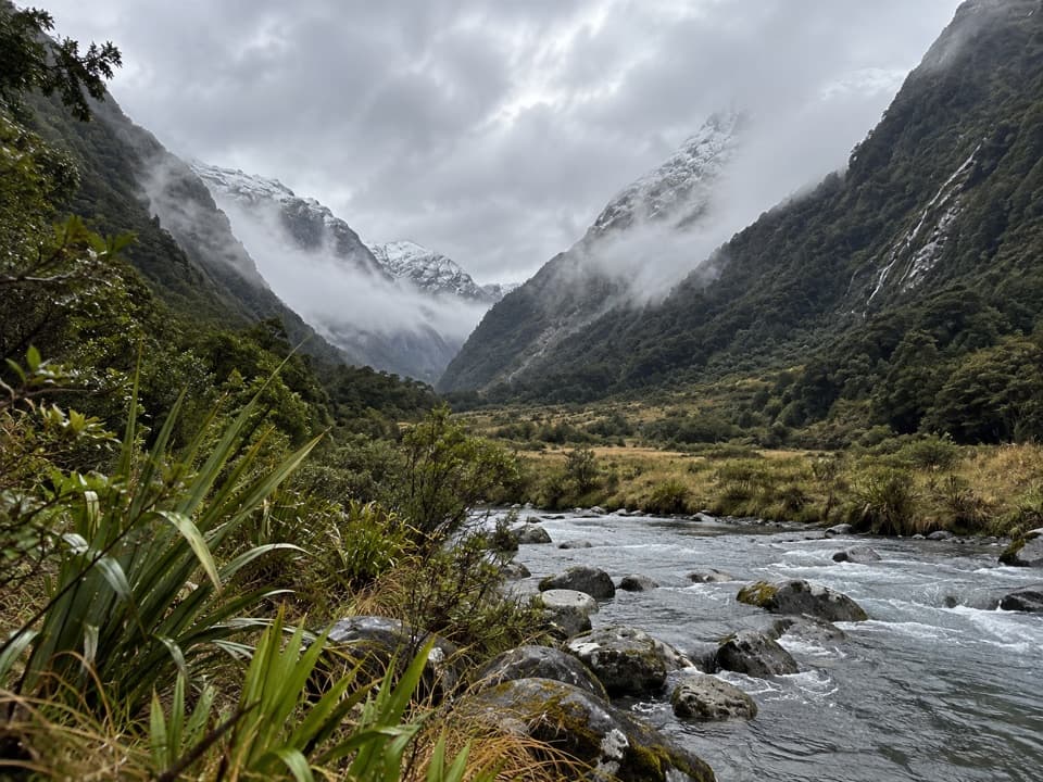 125Blue Valley TrackA remote out-and-back through beech forest to Blue Valley's upper flats.
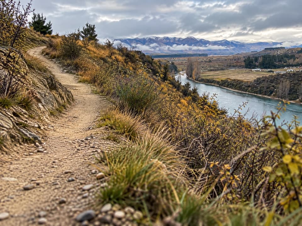 126Deans Bank TrackRiver views from a signed loop through tussock and scrub.
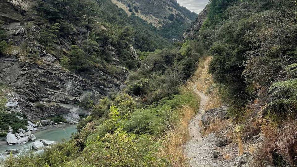 127Timaru River TrackRemote 44 km crossing through gorges and over Mt Martha Saddle.
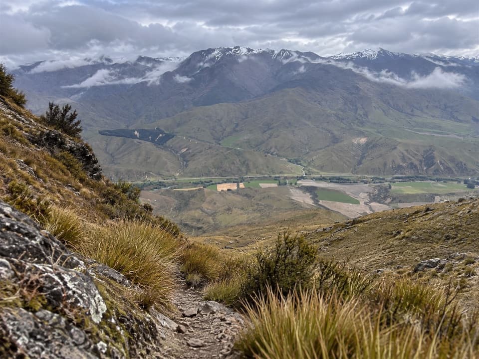 128Little Criffel TrackAn 18 km ridge traverse to goldfield traces and alpine views.
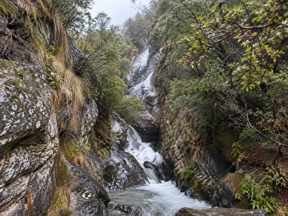 129Motatapu River TrackOpen flats, shallow pools and a small gorge beside the river.
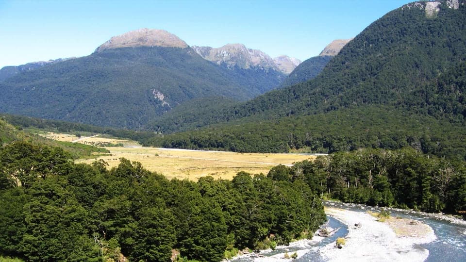 130Cameron Lookout WalkA short beech-forest climb to a platform above Cameron Creek.
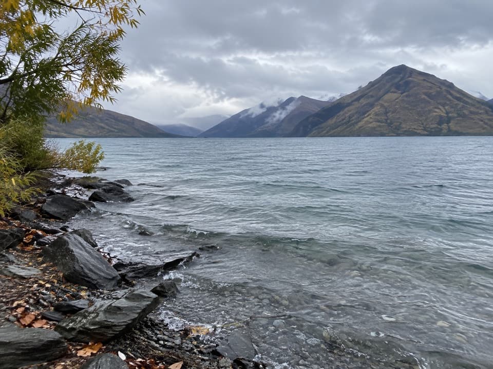 131Drift Bay Walking TrackA shore walk to Oraka’s jetty and Upper Drift Bay.
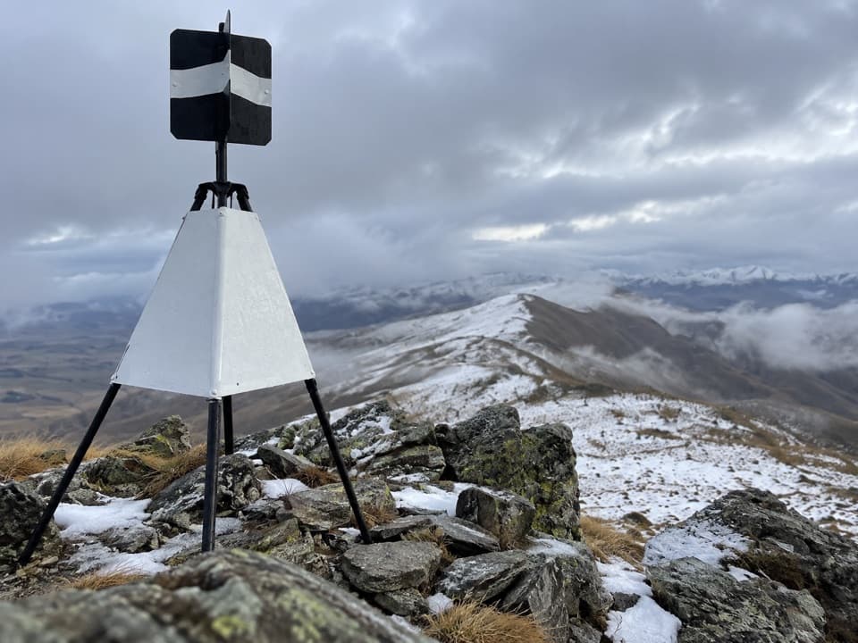 132Lindis Peak TrackA long climb to a sweeping Central Otago summit panorama.
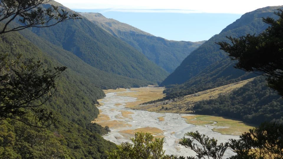 133Makarora Valley TrackA long backcountry tramp to a four-bunk hut beneath Mount Brewster.
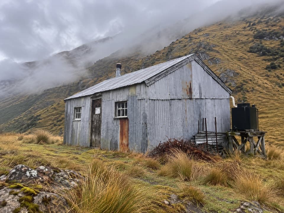 134Dynamo Hut TrackFollow Skippers Creek to a remote hut and restored hydro relics.
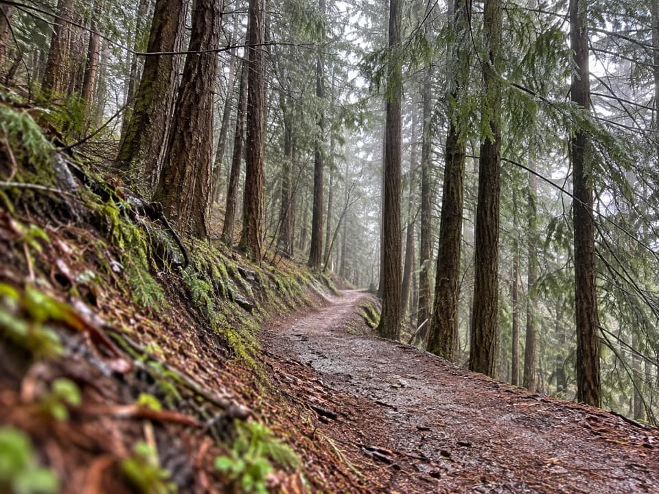 135Skyline Loop TrackA quick, easy bush loop above Queenstown on Bob's Peak.
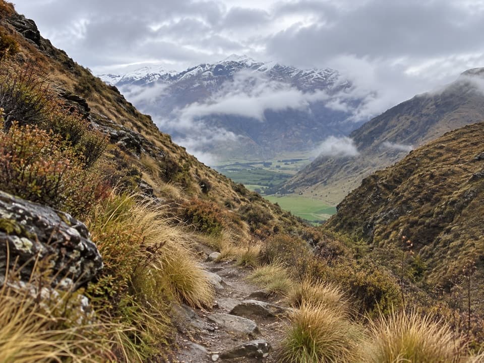 136Brackens Saddle TrackA paddock crossing and narrow gorge lead to a tucked-away saddle.
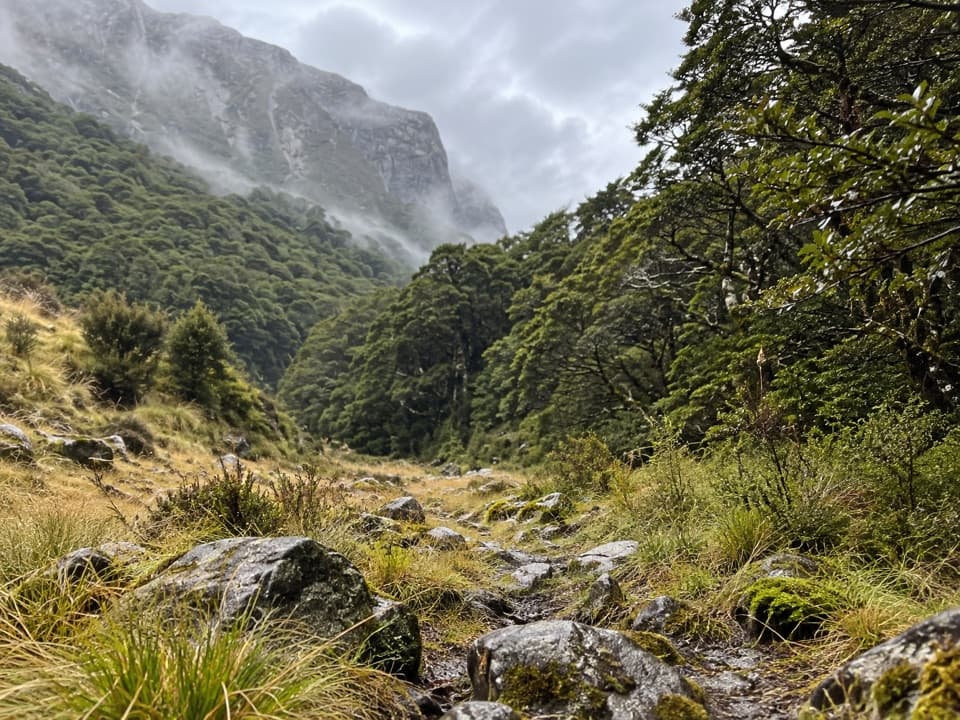 137Scott Creek TrackA steep, rough climb toward remote Scott Basin.
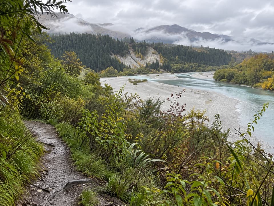 138Lower Shotover Conservation Area TrailRough riverside singletrack to a high terrace above Shotover Gorge
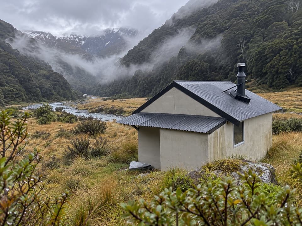 139Cameron Valley Track to Cameron HutA tiny hut beyond a steep gorge and an unbridged river.
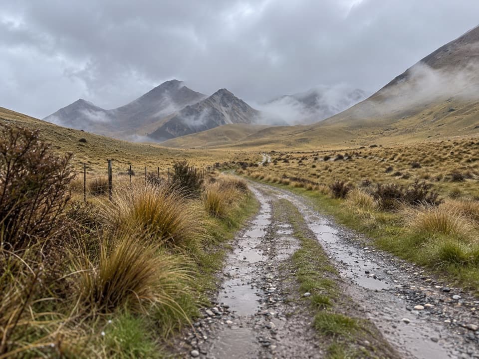 140Melina Ridge TrackA long, exposed ridge crossing from Avon Burn to Lindis Pass.
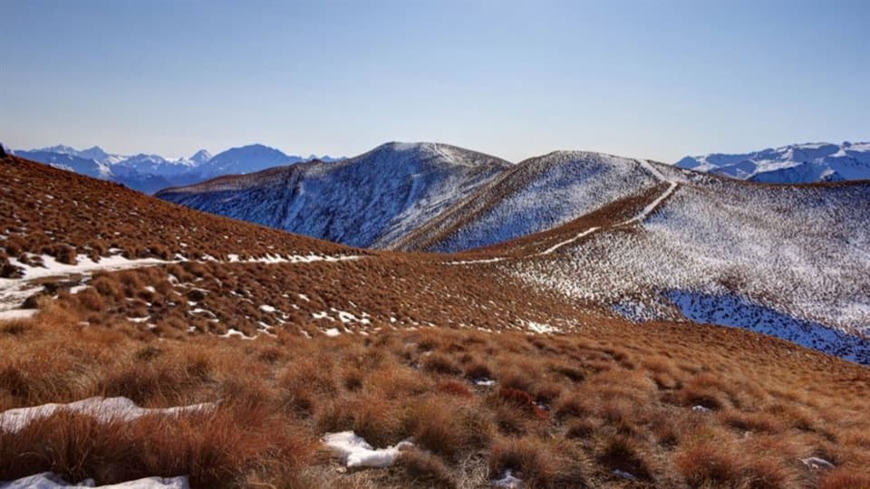 141Glen Dene Ridge TrackOpen ridge walking with two lake views and a serious climb.
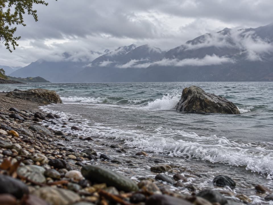 142Rumbling Burn TrackA full day from Lake Wānaka into Mount Alta country.
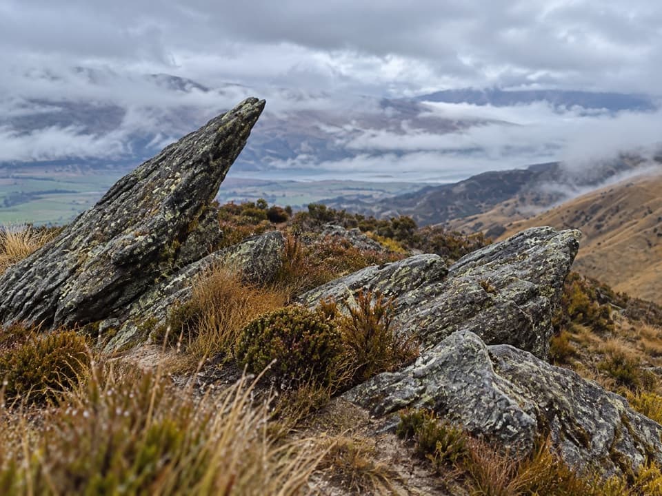 143Pisa Range Ridge TrackA 30 km ridge traverse with no exit at the far end.
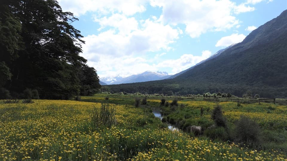 144Young River Link TrackA longer return through beech forest and pasture to the Young River
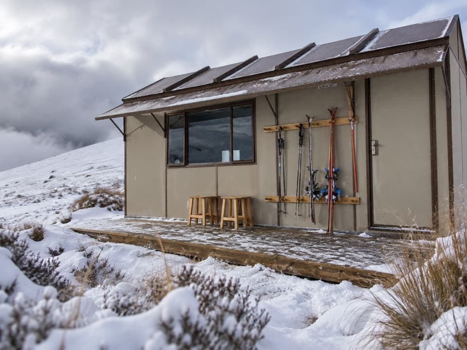 145Kirtle Burn Hut TrackAn exposed hut walk with a choice of valley or ridge approach
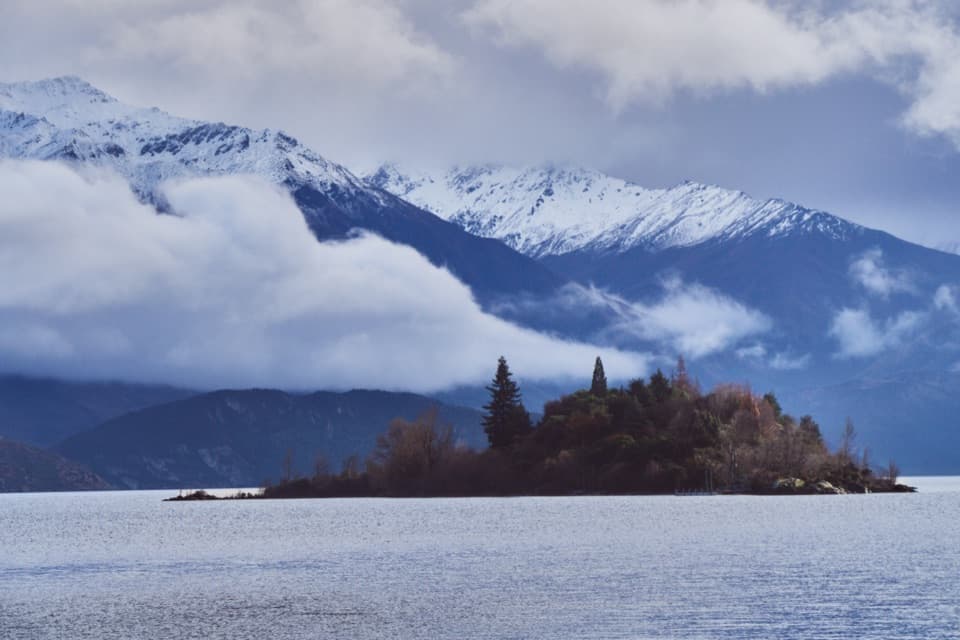 146Ruby Island WalkA short island loop with lake views and a lively cabaret past.
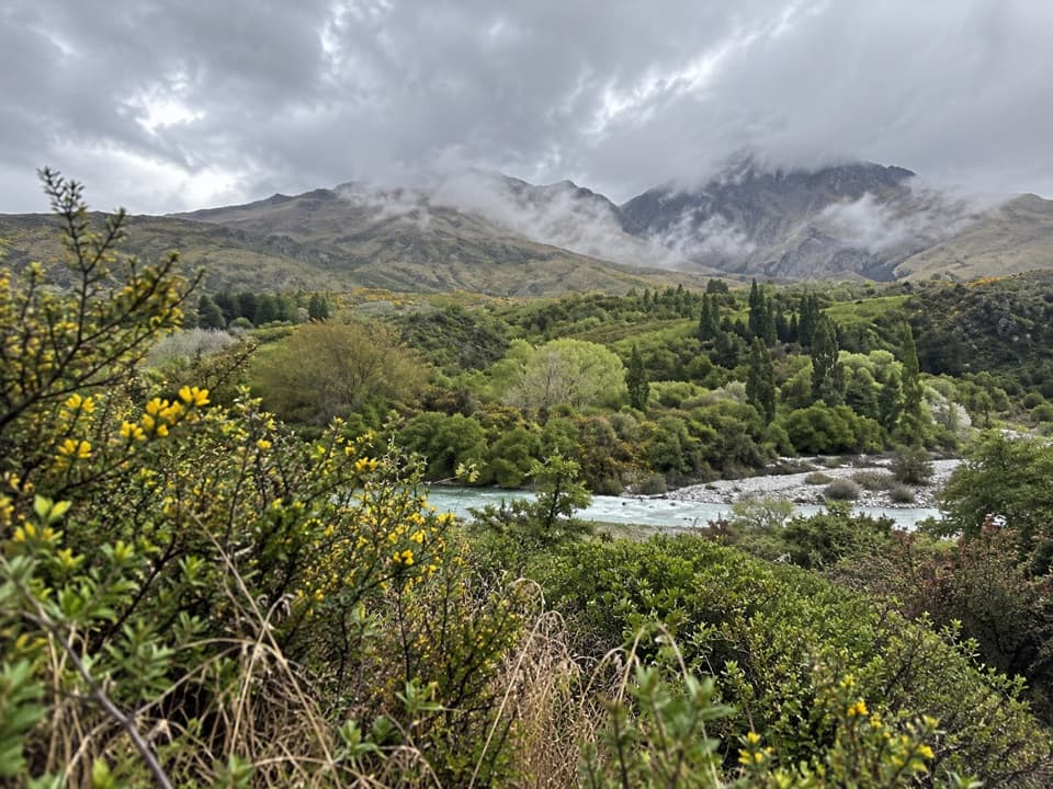 147Morningstar TrackA short riverside path overlooks the Shotover near Morning Star Beach.
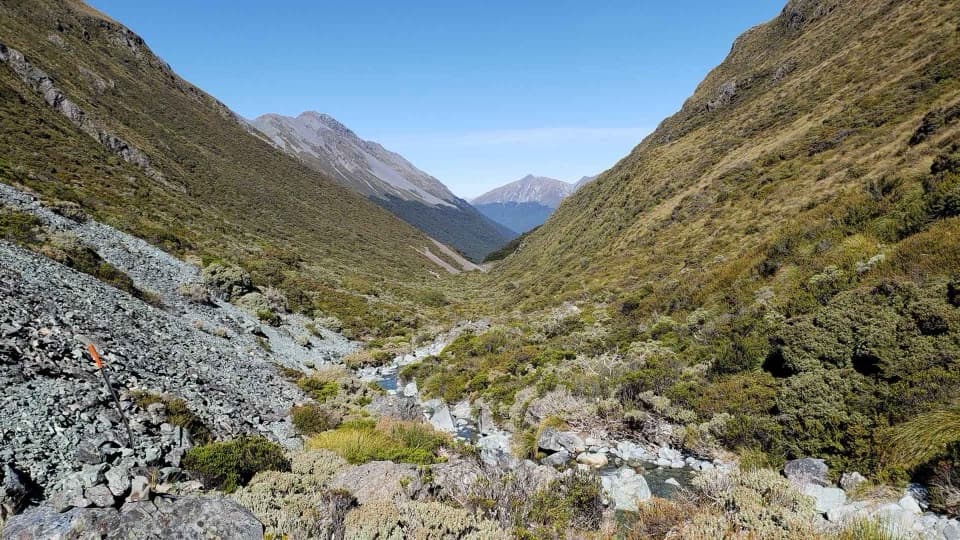 148Steele Creek TrackA steep, sparsely marked creek route for experienced trampers.
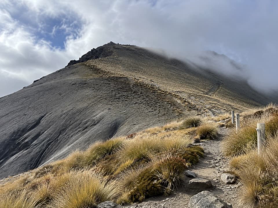 149Mount Prospect TrackA remote high-country crossing over a 1,770 m summit.
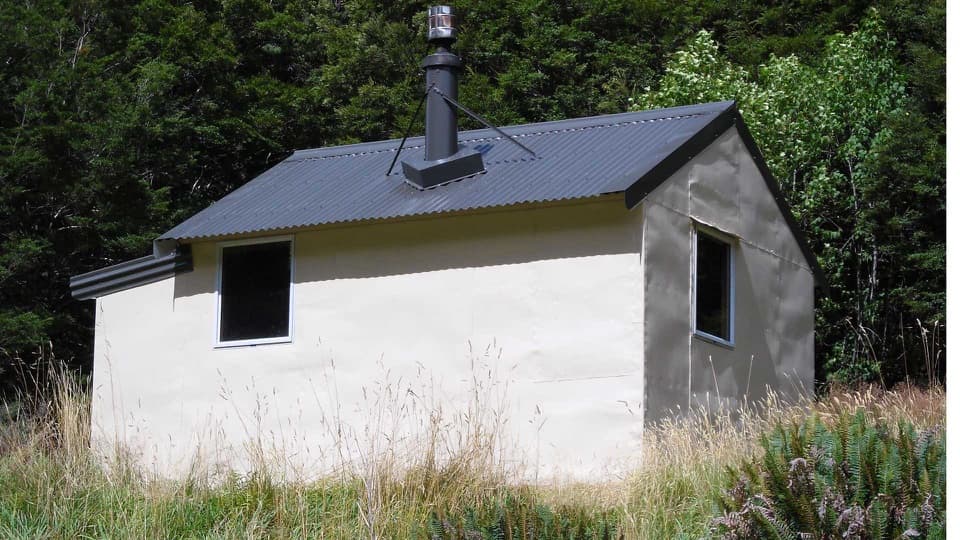 150Wills Valley TrackRemote 15 km hut tramp, with an unstable slip and river crossing.
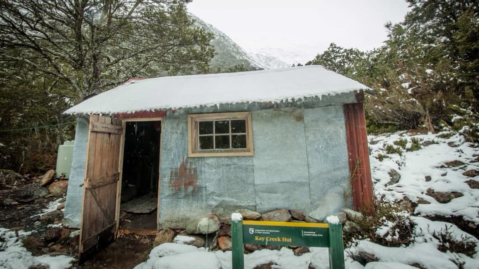 151Kay Creek TrackA remote four-bunk hut reached by an advanced track.
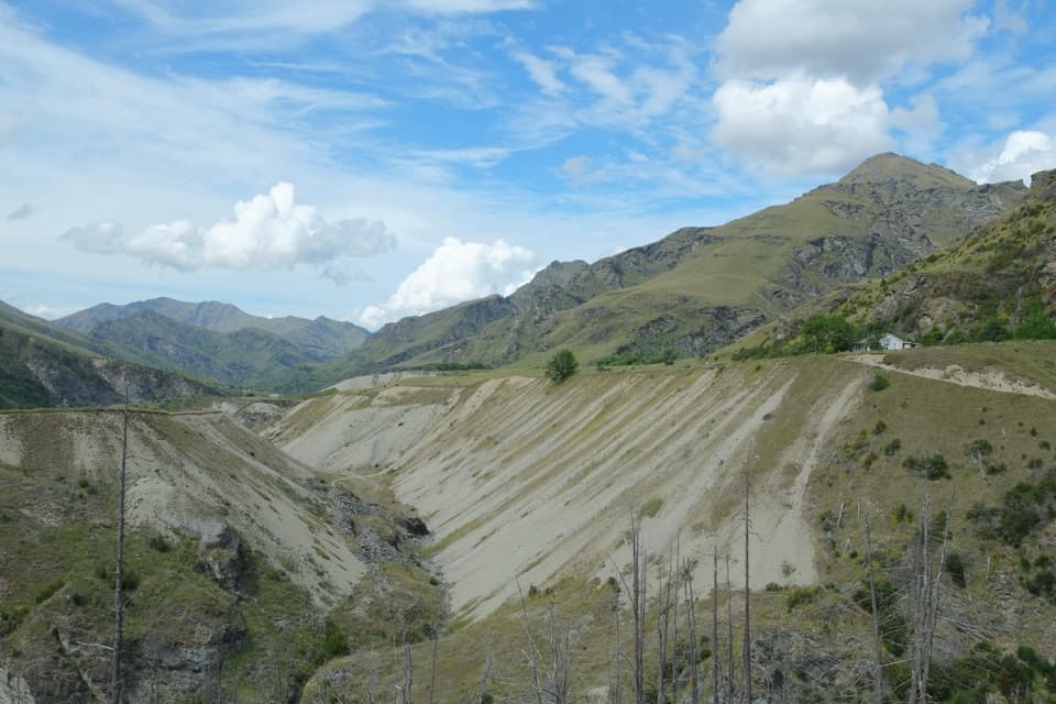 152Pleasant Terrace Historic WalkTerrace scars from gold sluicing make this short walk distinctive.
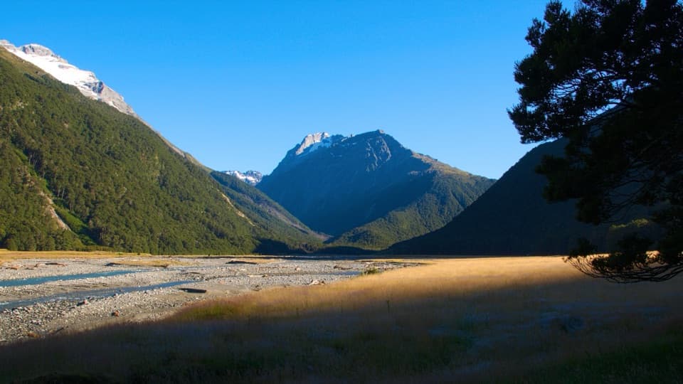 153Hunter Valley Track to The ForksA rugged river walk to where the Hunter splits in two.
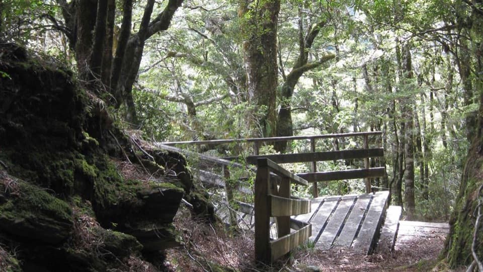 154Bridle TrackA well-graded 3.5 km walk between Davis Flat and Haast Pass.
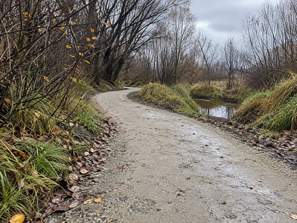 155Cameron Creek TrackA short riverside link from Albert Town to Monteith Road

The highest, rockiest slopes around here are a summer buffet for grizzly bears.
Queenstown-Lakes District Tour Guide
Queenstown-Lakes District, narrated.
Parkwolf is a GPS audio tour guide for Queenstown-Lakes District, New Zealand. As you drive, it chimes in with what’s ahead: hidden gems, upcoming stops, history, geology, and wildlife, right through your car’s speakers.
See the Queenstown-Lakes District audio tourRecorded for this place
Skyline Queenstown0:00 / 0:33
“You're approaching the Skyline Gondola base on Brecon Street. The ride takes you up to Bob's Peak for a view over Queenstown, Lake Wakatipu and the Remarkables.”
Plays as you drive up to Skyline Queenstown in the Parkwolf Queenstown-Lakes District Tour Guide.
More stories near here in the app
- Bathe Hot Pools on Brecon Street
- Fergburger on Shotover Street
- Steamer Wharf and TSS Earnslaw
- Queenstown Hill and Basket of Dreams
- 298 audio storiesacross Queenstown-Lakes District’s roads, triggered by GPS as you drive
- Wildlife heatmapsfor Kea, Kākā, Kererū, and 13 more
- Works offlinemaps, 155 trails, 129 places, and audio download before you lose signal
- CarPlay readysimple controls built for the drive
“Fantastic app with many points of information… It’s great to just turn on while you’re driving and it gives you an audio tour of the national Park. We love it!!!!”

