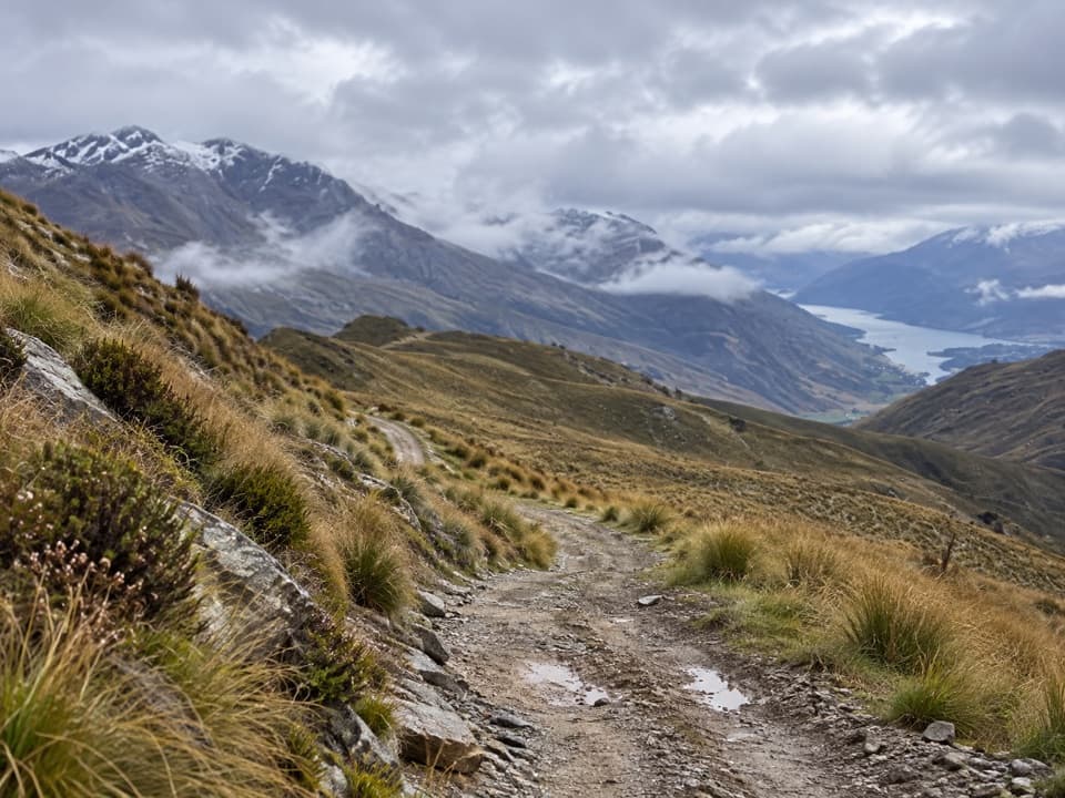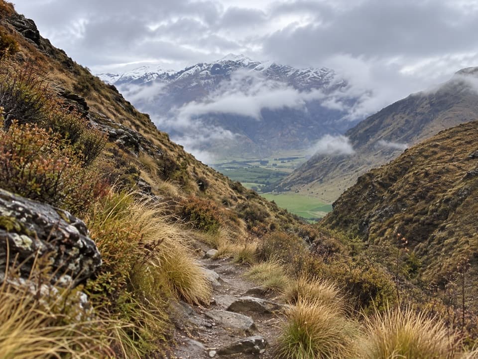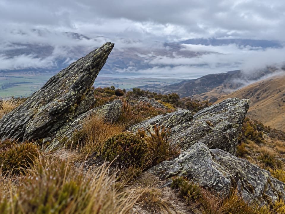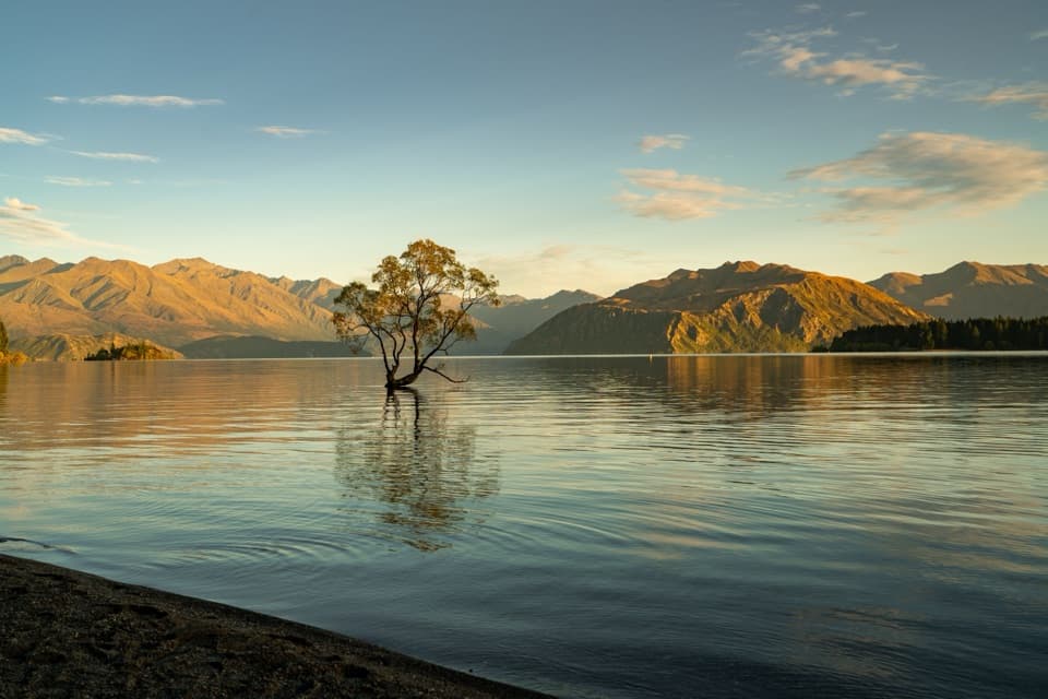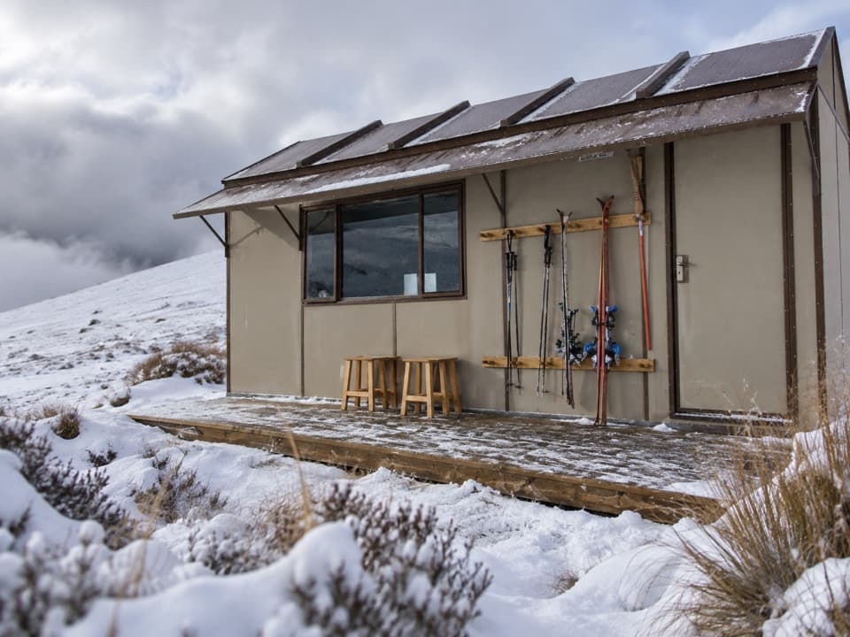
Kirtle Burn Hut Track in Queenstown-Lakes District, New Zealand

Queenstown-Lakes District, New Zealand, OT

Kirtle Burn Hut Track

An exposed hut walk with a choice of valley or ridge approach

Length
16km
Time
5hr
Elev. change
221m
Difficulty
Challenging
  • No dogs
  • High point 1,675 m

Hear the audio tour

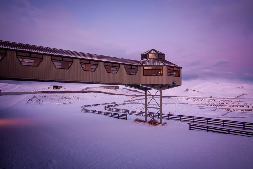
Snow Farm Access Road

Overview

About Kirtle Burn Hut Track

Why go

  • The hut gives the high-country walk a clear destination.
  • A valley-side approach offers an alternative to the ridge line.

Heads up

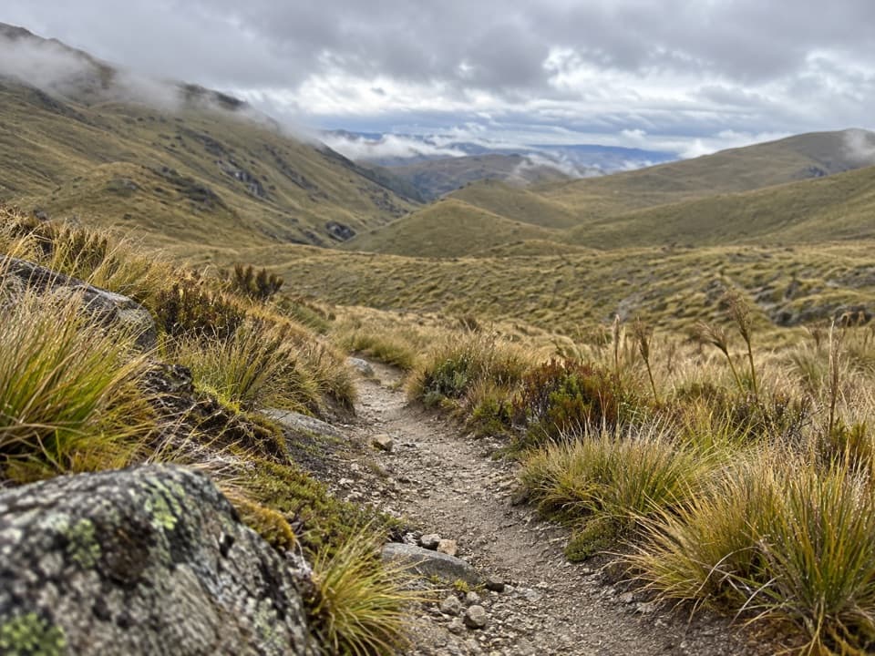
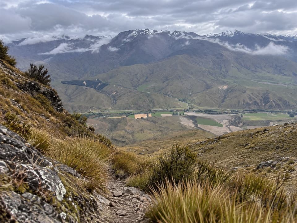
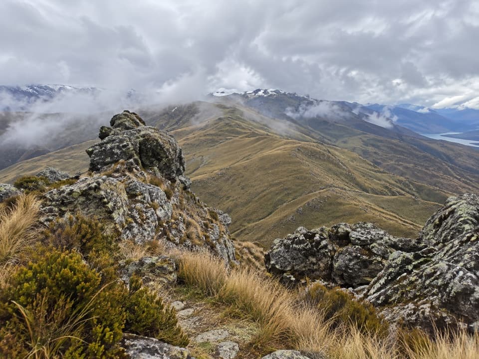
  • The same-way return is about 16 km in exposed terrain.
  • Access passes or a prior easement arrangement may be needed.

Map & elevation

The route

Loading the Queenstown-Lakes District map
Full map
Elevation1,454–1,675 m
TrailheadSnow Farm car park-44.87769, 169.09199
Keep this map with you offline in the Parkwolf app

Plan your hike

Before you go

Parking

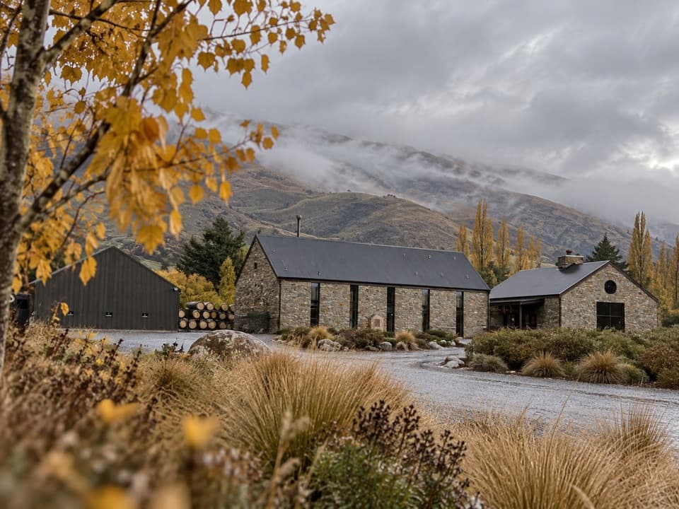
Use the Snow Farm car park between the Southern Hemisphere Proving Grounds building and Snow Farm building. Access via the Snow Farm trail network may involve an access pass or donation; Southern Hemisphere Proving Grounds access is through a separate private-land easement and needs prior arrangement. Foot access on the toll road is prohibited.

Safety

The lower stream section crosses twice, and snow may hide the water. The Pisa Range is exposed to severe winds and rapid weather changes, with hypothermia possible even in summer; summer can also be hot and dry. Avalanche paths may cross the route, usually May–November. Check current access and conditions. Dogs need landowner permission at this access.

3 active Queenstown-Lakes District alerts

  • CautionRob Roy Track: stop at lower lookout during avalanche seasonFrom May to November, end your Rob Roy Track hike at the lower lookout: DOC strongly recommends this because the upper section crosses active avalanche paths.Official details
  • ClosureSkippers Bridge closed to all usersSkippers Bridge is closed to all vehicles, cyclists and pedestrians; stay off the bridge and obey closure signs and barriers.Official details
See all 3 alerts
A park ranger sits on a dash-mounted phone, talking, as Parkwolf’s Tour Guide plays “Army Cutworm Moths: A Grizzly Bear Buffet” on Grand Loop Road below Dunraven Pass in Yellowstone
Parkwolf Tour GuideThe highest, rockiest slopes around here are a summer buffet for grizzly bears.

Queenstown-Lakes District Tour Guide

Your drive to Kirtle Burn Hut Track, narrated.

Parkwolf is a GPS audio tour guide for Queenstown-Lakes District, New Zealand. As you drive, it chimes in with what’s ahead: hidden gems, upcoming stops, history, geology, and wildlife, right through your car’s speakers.

See the Queenstown-Lakes District audio tour

Recorded for this trailhead

Snow Farm Access Road
0:00 / 0:35
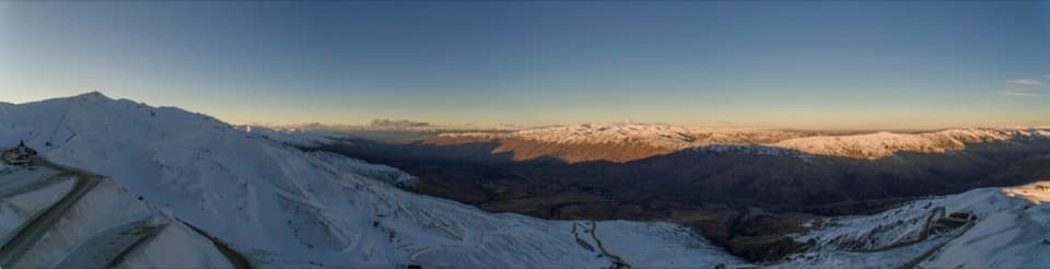
“The access road to Snow Farm is coming up, with the ski area farther uphill on the Pisa Range.”

Plays as you drive up to this trailhead in the Parkwolf Queenstown-Lakes District Tour Guide.

More stories near here in the app

  • A Bee’s Nest Without a Hive
  • Cardrona’s Canvas Beginnings
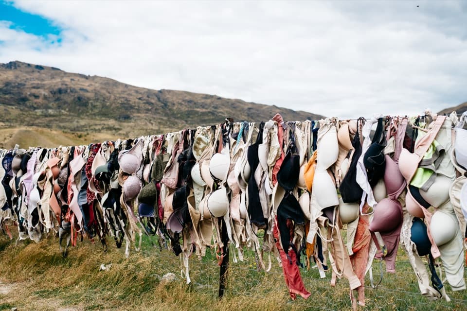
  • Cardrona Distillery and Bra Fence
  • Cardrona Hotel
  • 298 audio storiesacross Queenstown-Lakes District’s roads, triggered by GPS as you drive
  • Wildlife heatmapsfor Kea, Kākā, Kererū, and 13 more
  • Works offlinemaps, 155 trails, 129 places, and audio download before you lose signal
  • CarPlay readysimple controls built for the drive
★★★★★
“Fantastic app with many points of information… It’s great to just turn on while you’re driving and it gives you an audio tour of the national Park. We love it!!!!”
JMJamesApp Store review
Download Parkwolf on the App StoreGet Parkwolf on Google Play

4.7 from 8,600+ ratings

Trail guide

Hiking Kirtle Burn Hut Track

The commitmentKirtle Burn Hut Track is an advanced high-country out-and-back from the Snow Farm car park to…

Kirtle Burn Hut Track is an advanced high-country out-and-back from the Snow Farm car park to Kirtle Burn Hut. The published walking guide gives 8 km and 2–3 hours one way; returning on the same line means about 16 km (9.94 miles) and 4–6 hours. It is a substantial, exposed outing rather than a short hut stroll.

Pick the valley lineThe route map shows a higher ridge approach and a lower stream-side option.

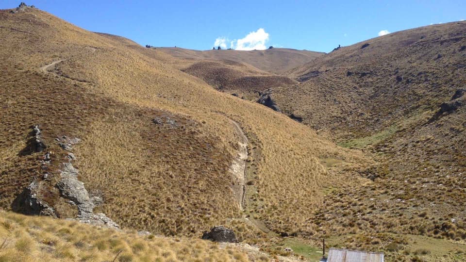
The route map shows a higher ridge approach and a lower stream-side option. This entry follows connected valley-side paths from the car park to the hut; the overview does not say which line its rounded 8 km measures, and the stored line is about 7.45 km one way. Treat the map as an overview, not a GPS track, and use proper navigation. The lower river section has two stream crossings, which snow may hide. The complete Kirtle Burn loop continues beyond the hut and is a separate outing.

Access and weatherPark in the car park between the Southern Hemisphere Proving Grounds and Snow Farm buildings.

Park in the car park between the Southern Hemisphere Proving Grounds and Snow Farm buildings. The Snow Farm trail approach may require an access pass or donation; Southern Hemisphere Proving Grounds access is a separate easement through private property and needs advance arrangement. Do not walk the toll road. Dogs need landowner permission at this west-side access. Severe winds and fast weather changes can bring hypothermia risk even in summer; summer can also be hot and dry. Avalanche paths may cross the route, usually from May to November.

Wildlife

Wildlife in Queenstown-Lakes District

All Queenstown-Lakes District wildlife maps

Sighting maps show where each species has been reported across Queenstown-Lakes District. Wildlife moves, so no sighting is guaranteed.

Keep exploring

Near Kirtle Burn Hut Track

See it all on the map

Trails that start nearby

Places near the trailhead

Parkwolf’s Queenstown-Lakes District ranking

Top-rated trails in Queenstown-Lakes District

All 155 trails
  1. 1Routeburn TrackChallenging · 33.1 km
  2. 2Roys Peak TrackChallenging · 16 km
  3. 3Ben Lomond TrackChallenging · 14 km
  4. 4Rob Roy TrackModerate · 10 km
  5. 5Isthmus Peak TrackChallenging · 16 km
  6. 6Routeburn Falls TrackChallenging · 19.6 km

Take Parkwolf to Queenstown-Lakes District.

The audio tour guide for the drive, plus offline maps, trails, and wildlife heatmaps for when the signal drops.

4.7 from 8,600+ ratings

Download Parkwolf on the App StoreGet Parkwolf on Google Play