Parking
Start at Avalon car park off Cardrona Valley Road and finish at The Larches car park. These are separate access points, so arrange a pickup or stage a second vehicle at the finish.
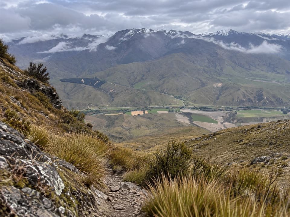
Queenstown-Lakes District, New Zealand, OT
An 18 km ridge traverse to goldfield traces and alpine views.
Overview
Map & elevation
Plan your hike

The highest, rockiest slopes around here are a summer buffet for grizzly bears.
Queenstown-Lakes District Tour Guide
Parkwolf is a GPS audio tour guide for Queenstown-Lakes District, New Zealand. As you drive, it chimes in with what’s ahead: hidden gems, upcoming stops, history, geology, and wildlife, right through your car’s speakers.
See the Queenstown-Lakes District audio tourRecorded for this trailhead
Little Criffel from Avalon“You're coming up on Avalon car park, the start of the Little Criffel traverse. It's a hard eighteen-kilometre crossing to The Larches, taking six to seven hours, so arrange transport from the far end.”
Plays as you drive up to this trailhead in the Parkwolf Queenstown-Lakes District Tour Guide.
More stories near here in the app
“Fantastic app with many points of information… It’s great to just turn on while you’re driving and it gives you an audio tour of the national Park. We love it!!!!”


Trail guide
Little Criffel Track is an 18 km (11.2 mile) one-way traverse from Avalon car park, over Little Criffel, to The Larches car park. Allow 6–7 hours. This is a hard, mostly open day for fit, experienced hikers, with a steep climb, rough route-finding and no quick exit at the far end. Arrange a pickup or leave a second car at The Larches before setting off.
Cross the Cardrona River, then follow the markers and stiles up a steep, unformed slope to the ridge. This is the slowest part; the track can be faint between markers, so poor visibility makes route-finding harder. A special-lease section later on has no marked track. Carry an offline route map, stay on the access easement through private land, leave gates as you find them and give livestock space.
At Little Criffel’s 1,341 m summit, the Upper Clutha Basin opens below and the Southern Alps span the horizon. A trig marks the top, which is more of a ridge high point than a sharp pinnacle. The tops continue mostly on a 4WD track, past the old Criffel Diggings: hand-dug water races, tailings and outlines of former miners’ dwellings.
The route descends on a 4WD track and passes through the small Larches Conservation Area, where kānuka, matagouri and native broom dominate. Mountain bikes are allowed on the Larches track, so watch for riders on the descent. Higher country can see snow in winter; avalanche terrain can cross the steep slope before the conservation boundary, usually from May into November. Take particular care at the unbridged Cardrona River, which can be dangerous after rain or snowmelt. Dogs are not allowed on the access track.
Wildlife
 194 sightingsKeaMost seen around 5 PMSighting map
 18 sightingsKākāMost seen around 6 PMSighting map
 198 sightingsKererūMost seen around 10 AMSighting map
 53 sightingsWekaMost seen around 6 PMSighting map
 245 sightingsTūīMost seen around 8 AMSighting map
 98 sightingsBellbirdMost seen around 6 AMSighting map
Sighting maps show where each species has been reported across Queenstown-Lakes District. Wildlife moves, so no sighting is guaranteed.
Keep exploring
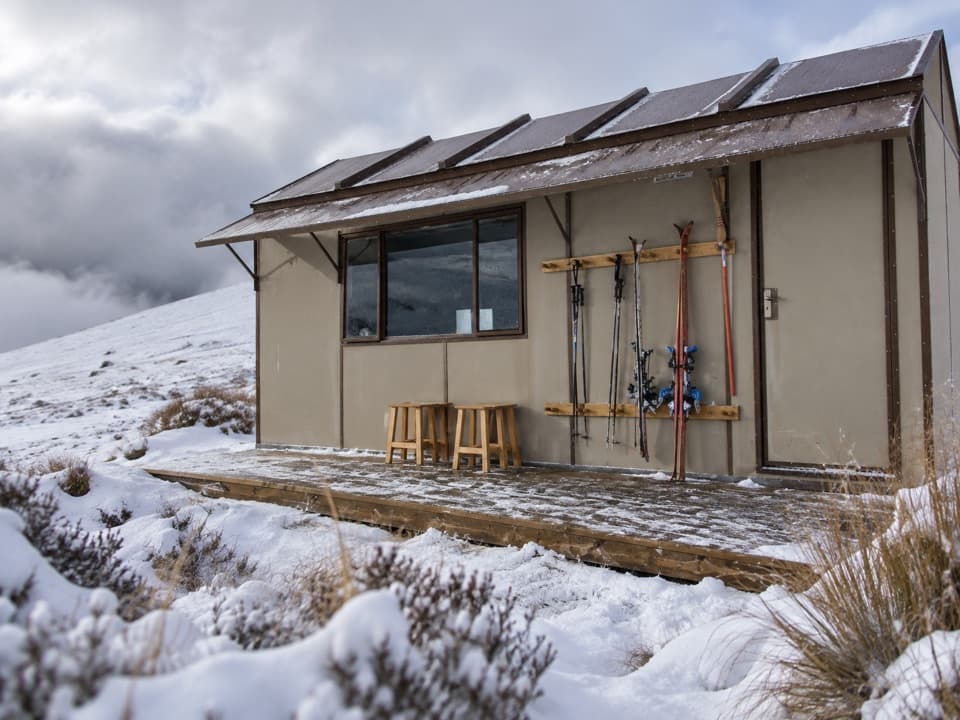 ChallengingKirtle Burn Hut Track16 km · 5 hr · 9.2 km awayAn exposed hut walk with a choice of valley or ridge approach
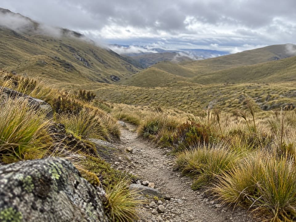 ChallengingRoaring Meg Pack Track18 km · 7 hr · 9.4 km awayA full Pisa Range crossing ends in the Roaring Meg gorge.
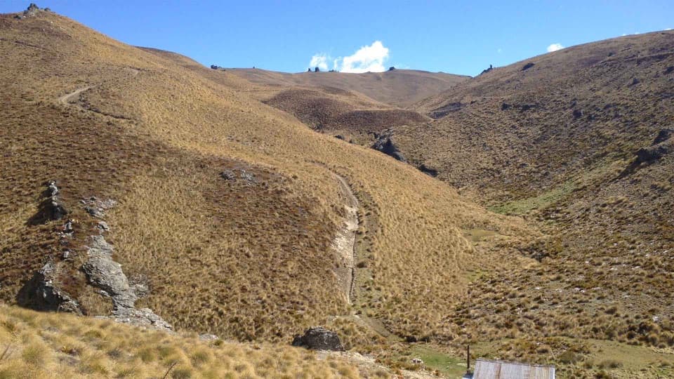 ChallengingCardrona-Cromwell Pack Track25 km · 10.5 hr · 9.4 km awayA full-day traverse over the Pisa Range to Lowburn.
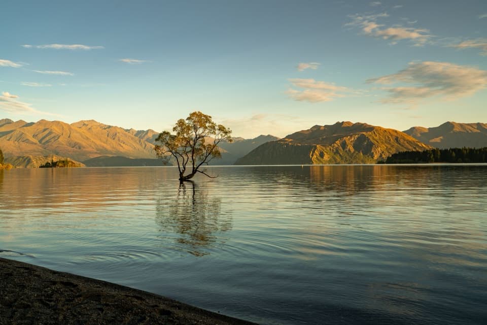 EasyWaterfall Creek Track5 km · 1.5 hr · 11.3 km awayEasy lakeside miles lead to the Wānaka Tree and Waterfall Creek
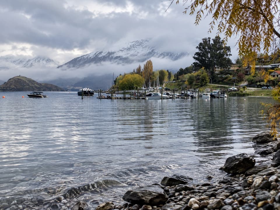 EasyEely Point Walk4.5 km · 1 hr · 12.2 km awayEasy lakeside walk from town to a sheltered boating and picnic point.
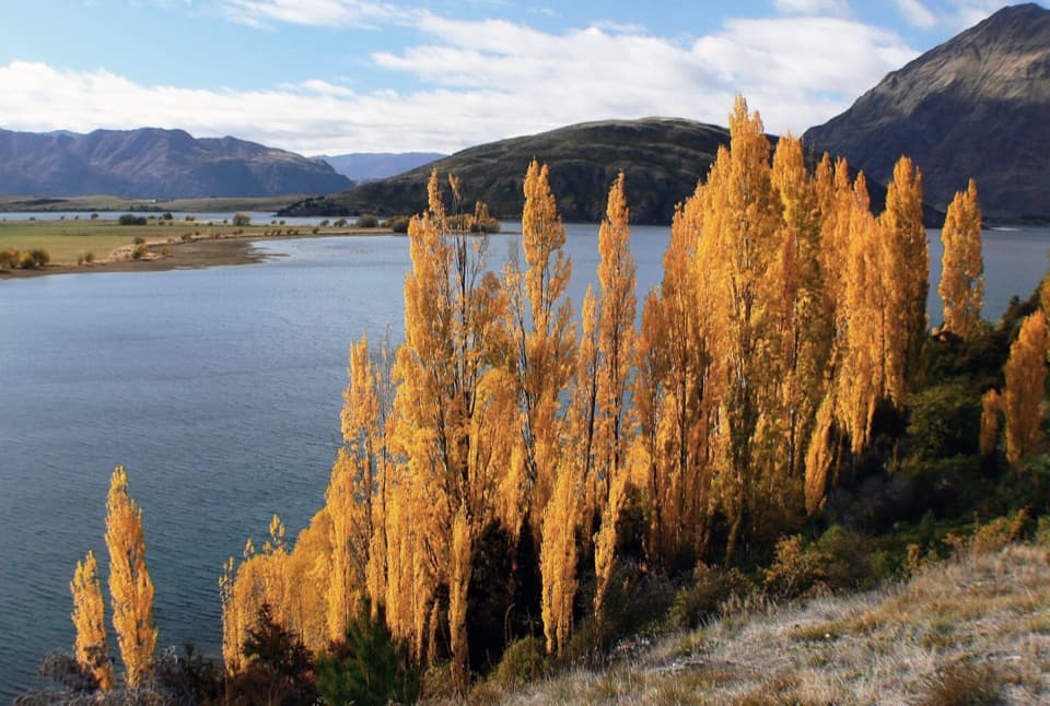 ModerateGlendhu Bay Track12.5 km · 3.5 hr · 12.3 km awayA long lake walk with a summer swim stop at Damper Bay.
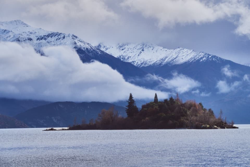 EasyRuby Island Walk0.5 km · 20 min · 12.8 km awayA short island loop with lake views and a lively cabaret past.
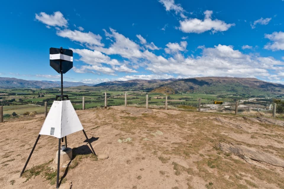 ModerateMount Iron Track4.5 km · 1.8 hr · 13.1 km awayA short, steep loop with big Wānaka basin views
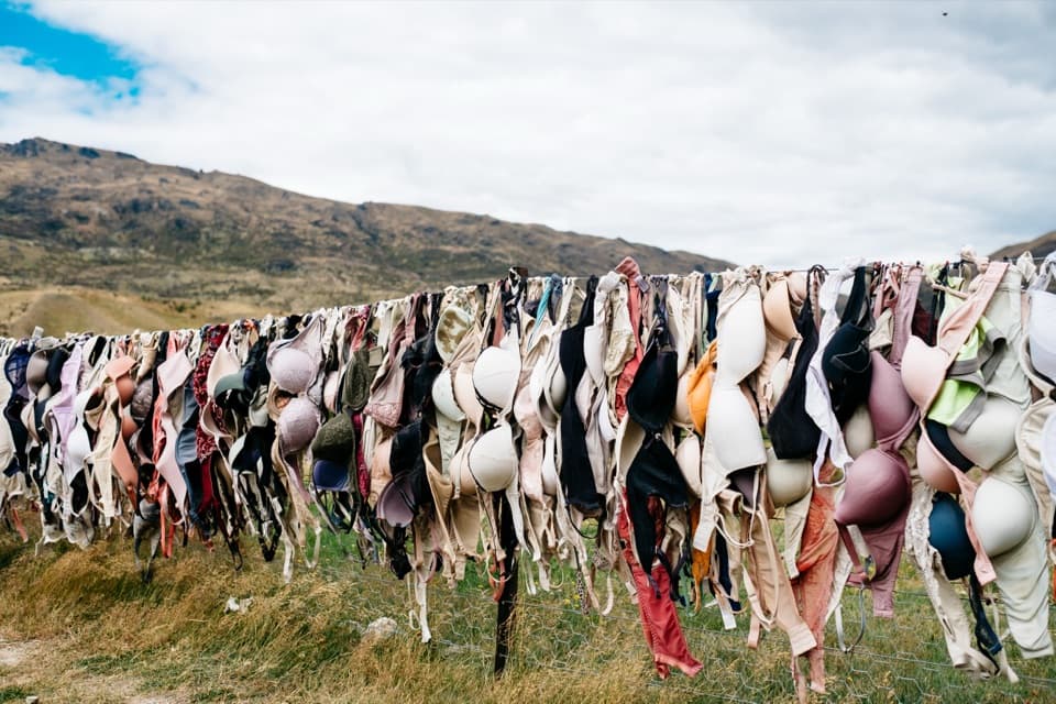 Sight · 8.7 km awayCardrona Bra FenceAn unusual roadside photo stop with a surprisingly long local story.
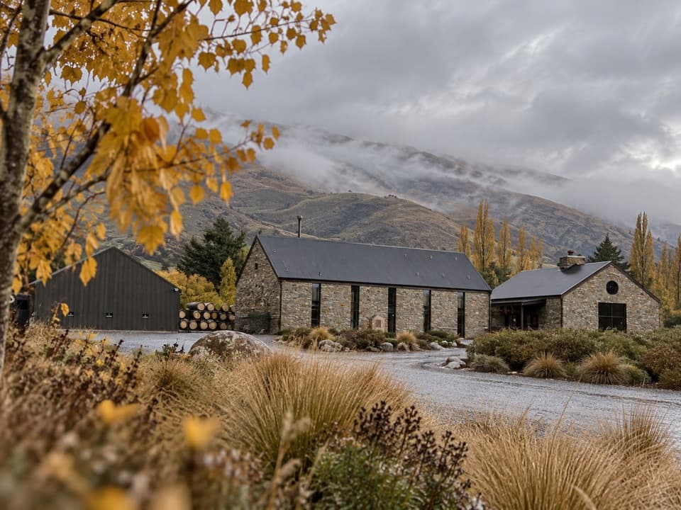 Sight · 8.8 km awayCardrona DistilleryWhisky from the mountains, plus a chef-led meal worth slowing down for.
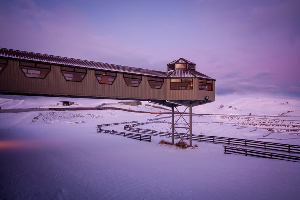 Sight · 9.2 km awaySnow Farm55 km of cross-country trails and huts on the high Pisa Range.
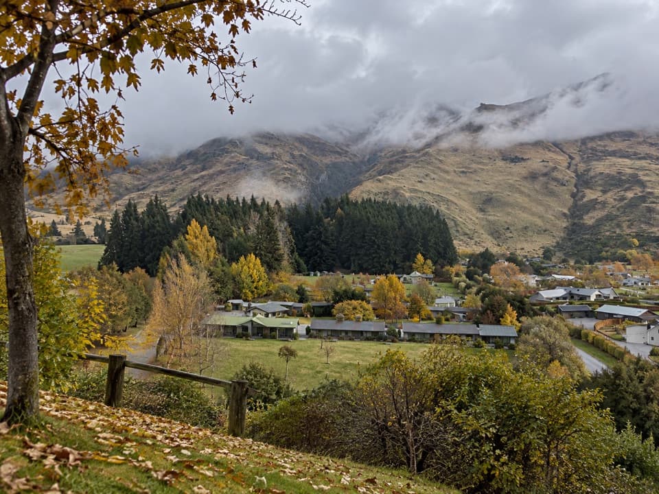 Campground · 10.5 km awayTasman Holiday Parks – WānakaA guest sauna and hot tubs sweeten a practical campground stay.
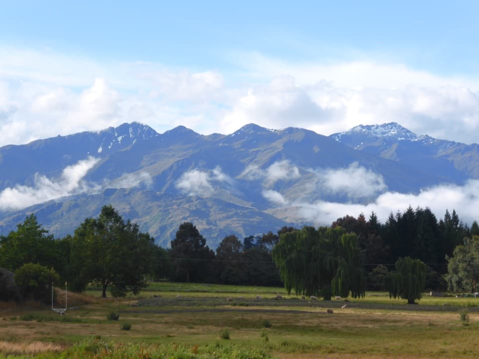 Campground · 10.9 km awaySundale Holiday Park & Retreat – WānakaChoose from camping, cabins and motels close to Wānaka.
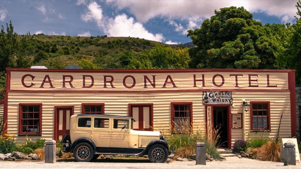 Sight · 11 km awayCardrona HotelA historic pub and hotel on the road between Wānaka and Queenstown.
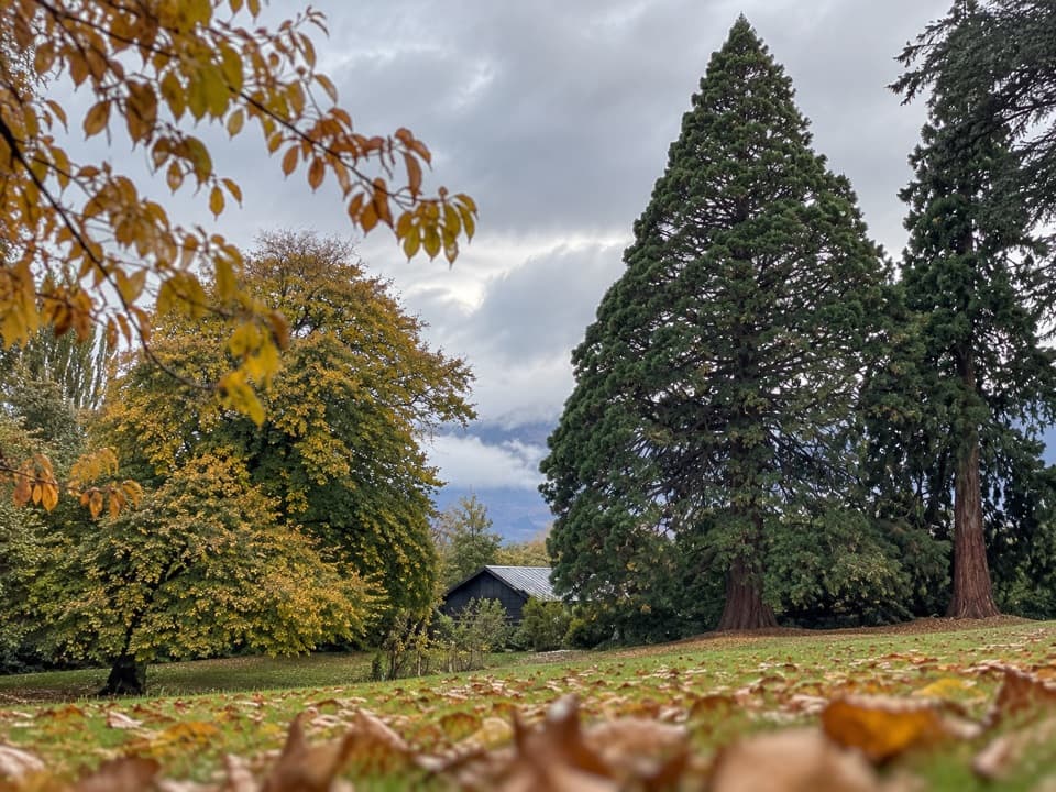 Picnic area · 11.3 km awayWānaka Station ParkA shady heritage garden with sequoias and old homestead walls.
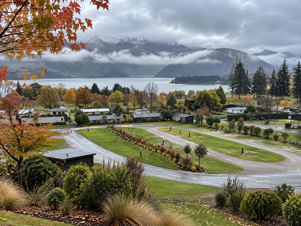 Campground · 11.3 km awayHampshire Holiday Parks – WānakaA central base for Wānaka, with cabins and powered campsites.
Parkwolf’s Queenstown-Lakes District ranking

The audio tour guide for the drive, plus offline maps, trails, and wildlife heatmaps for when the signal drops.





